|
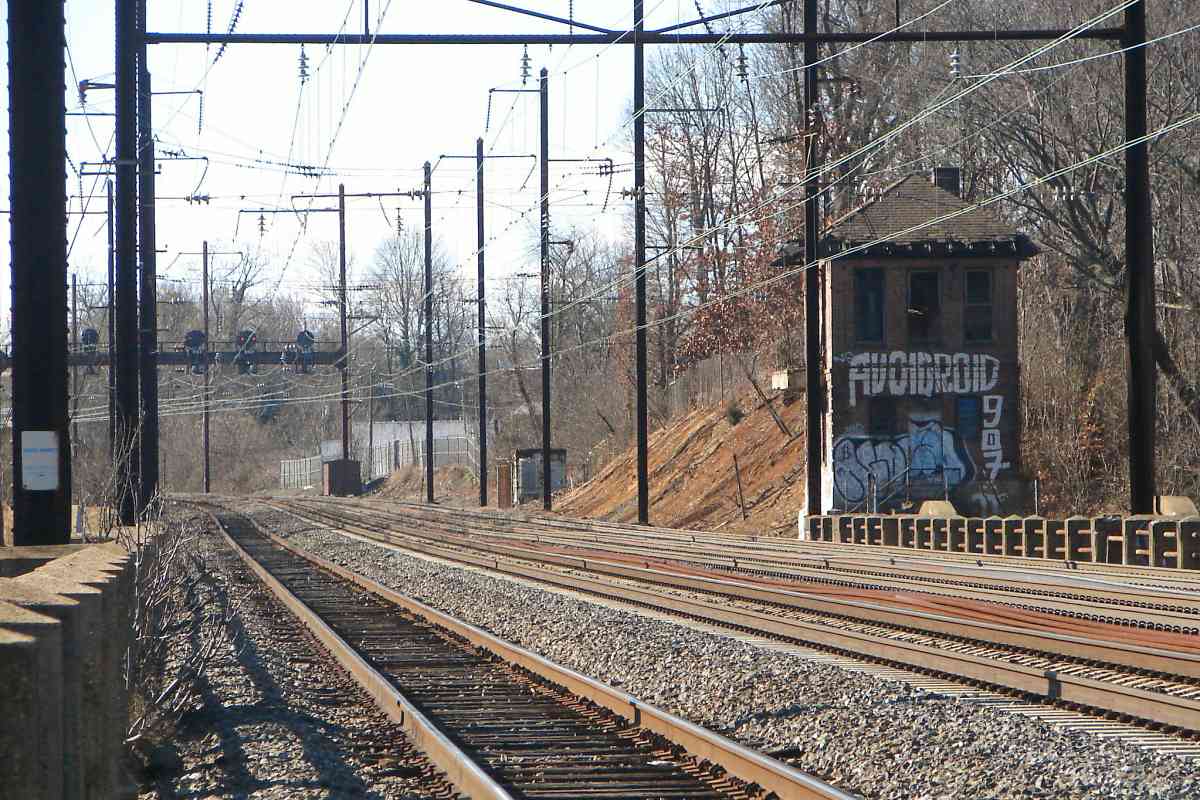
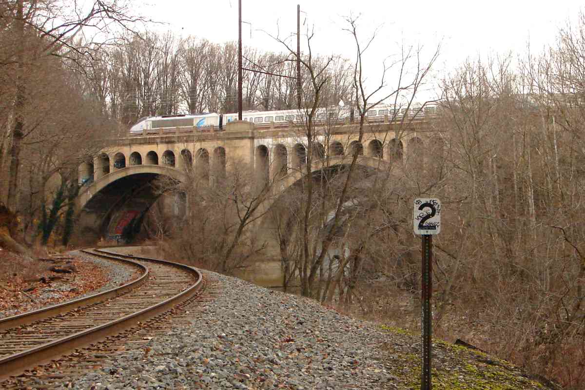
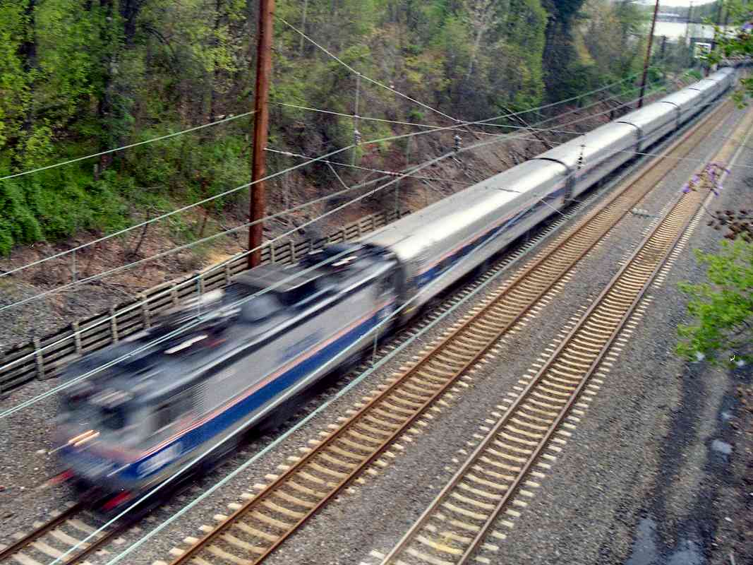
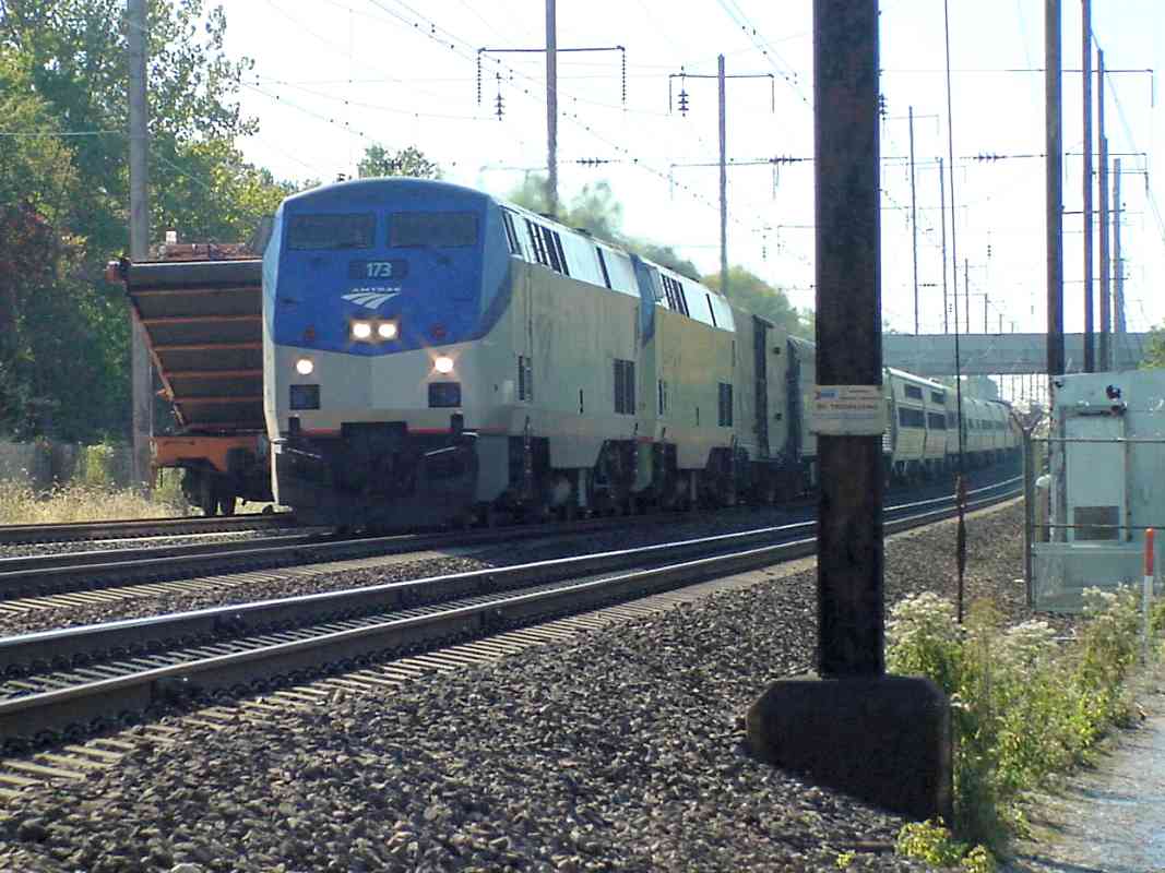
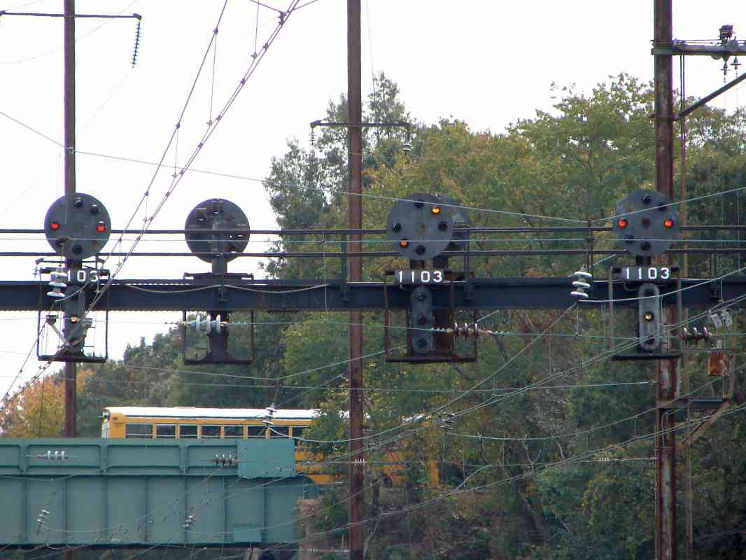
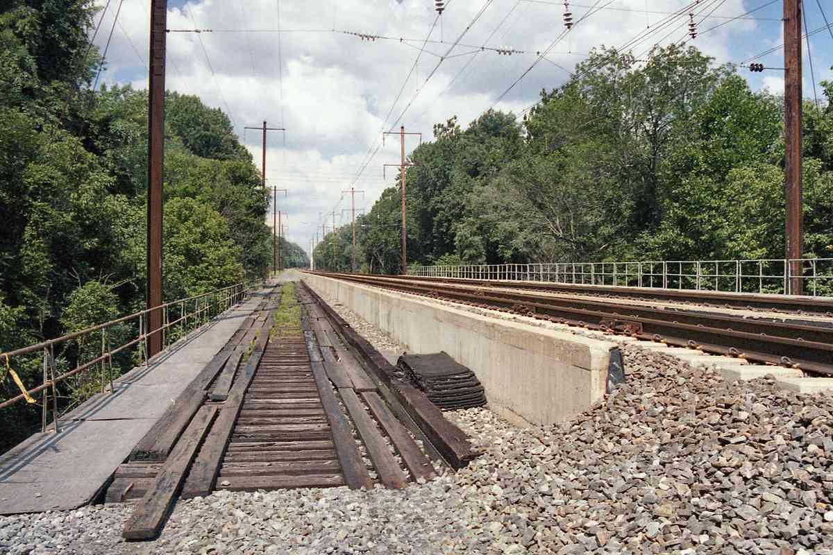
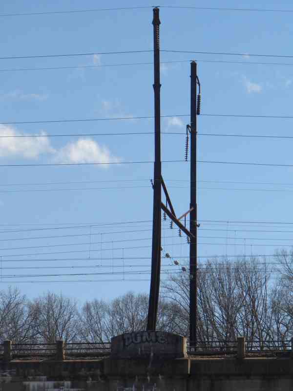
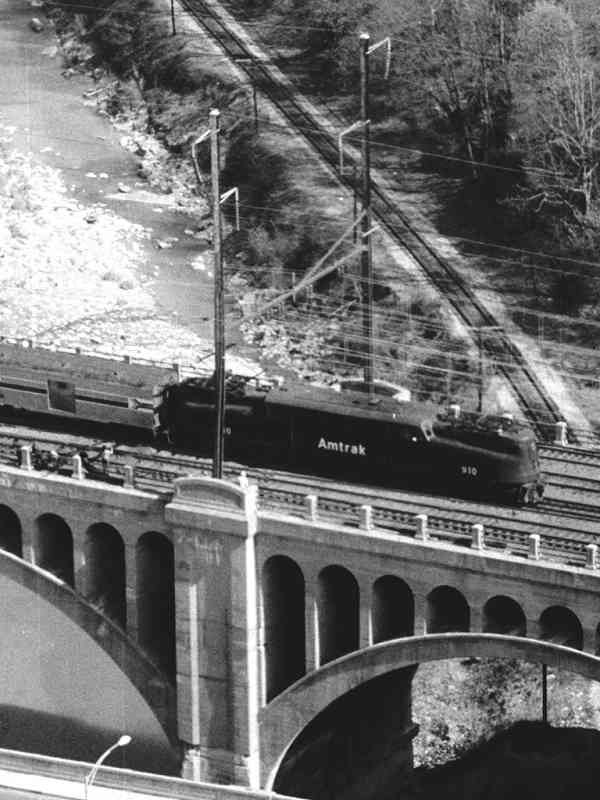
The PRR bridge over the Patuxent River is much like its one over
the Patapsco: low and long. At one time it supported 4 tracks,
but only 3 have been raised and upgraded for Northeast Corridor use,
while the 4th, seen straight ahead in this photo, grows moss as a
maintenance truck accessway.
The B&O spanned the Patuxent River via a higher, shorter bridge
at Laurel, about 10 miles upstream (left).
Reader Greg Hager commented:
"In looking at your section on the Pennsy/Amtrak section I may have a
note to add. The fourth track on the Patuxent River bridge may have been
used to access the Bowie race track."
Greg has a good point. A spur split off near here to serve the race
track some 2 miles south (right).
About the spur, reader Jim Younger added:
"The wye at 'Arundel' where the main met the branch is long gone. The actual right of way through the pines is
now a vehicle road, which is more or less passable. All along the ROW there are ties and spikes, now mostly
hidden by vegetation.
"Where the branch met the WB&A (now the WB&A trail), you can see where two legs of the wye crossed the
asphalt service road (to some county building). A little further on, amid more ties and spikes, there IS the
remainder of a trestle that crosses Horsepen Creek. This is at the base of the hill up to the actual grandstand area.
Unfortunately, the PRR didn't signal the branch, opting to telephone between the shanty at Arundel and the one at
the grandstand (both long gone).
"When the grandstand was there, you could see the tracks in the pavement and you have a link to that already.
Now that the grandstand is gone, the pavement and rails may be history too.
"I always thought this branch was an interesting rail operation. It's just a shame to let it slip into obscurity."
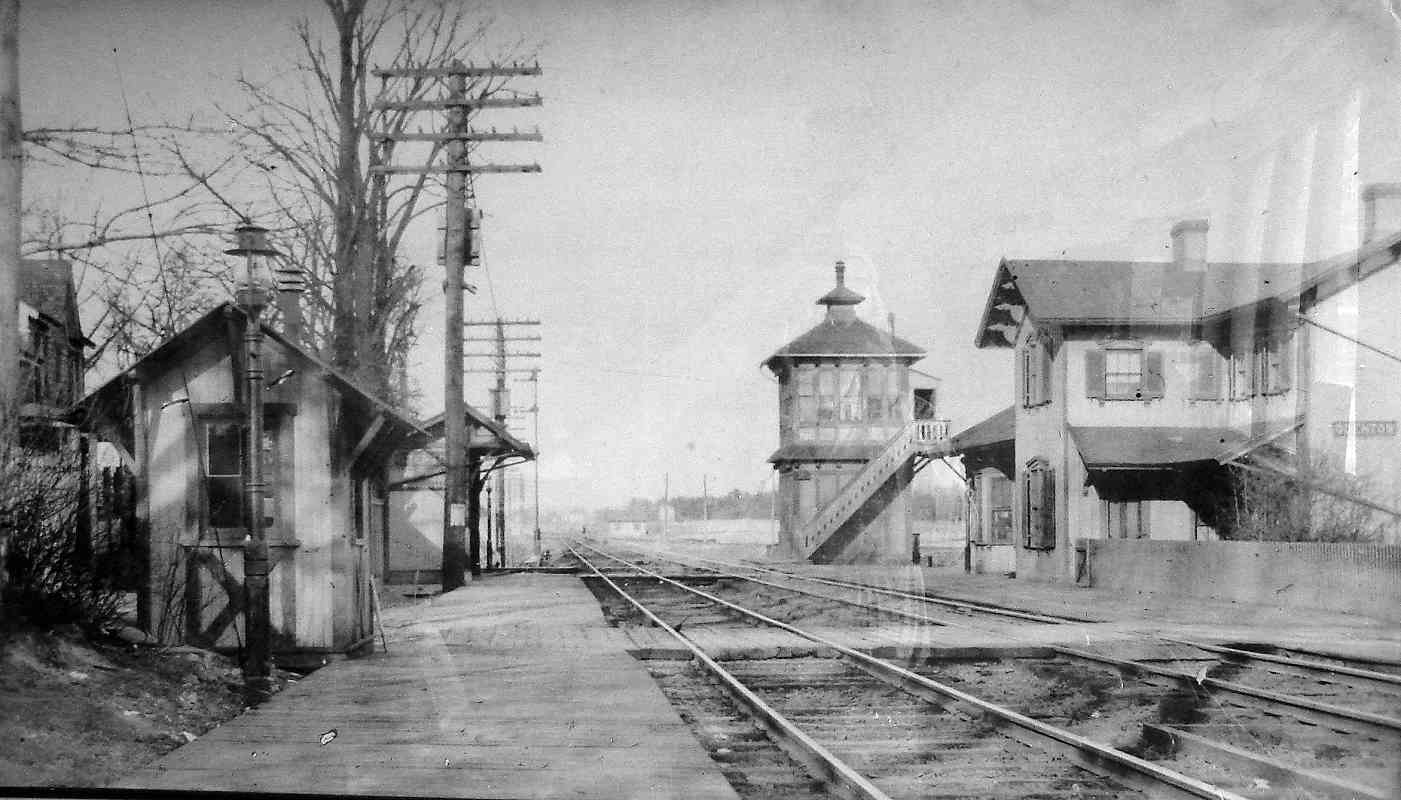
Links to older pictures:
bridge ~1900,
1961 wreck,
~1970,
race track spur 1992
|