|
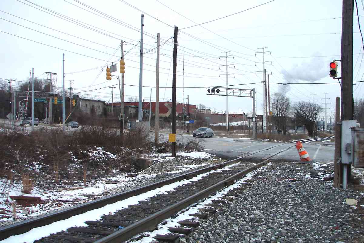
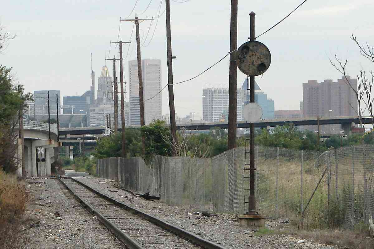
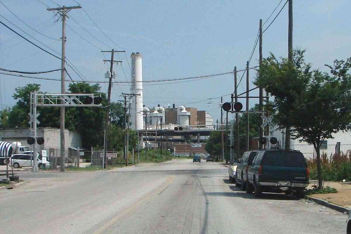
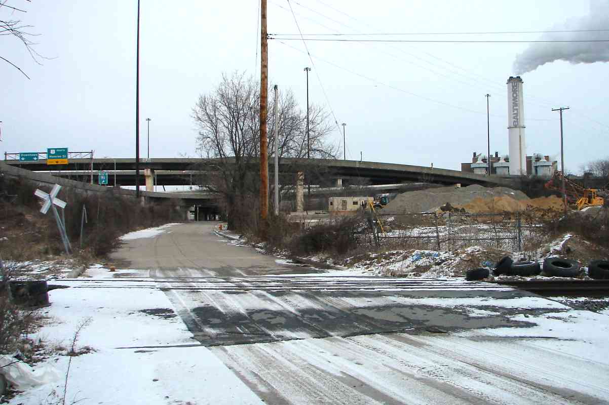
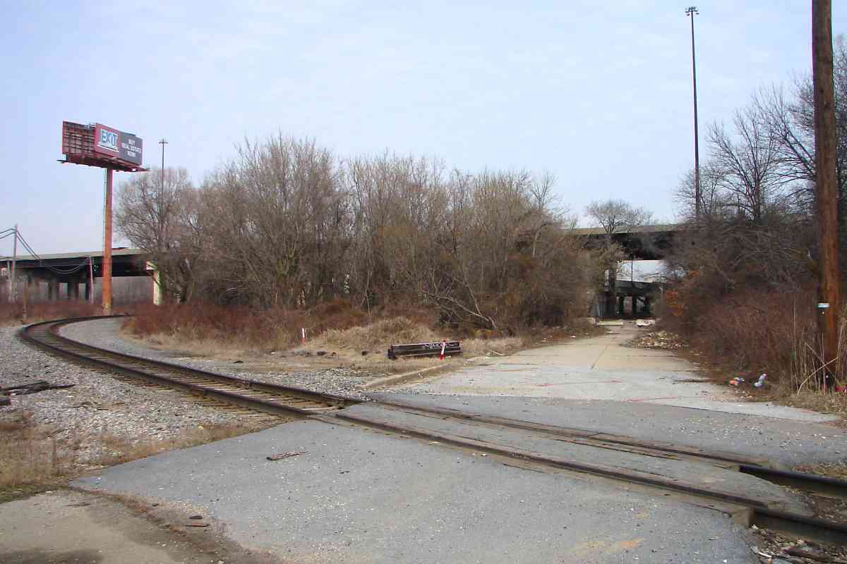
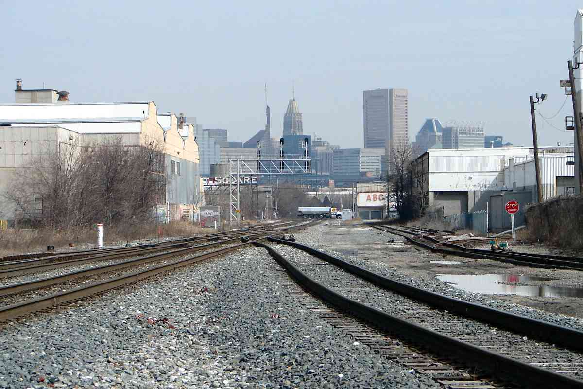
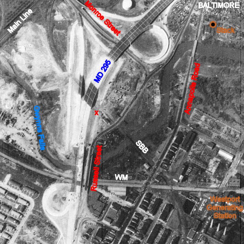
Now we're much closer to the "Baltimore" stack; it's located in what had been the
outfield of Maryland Baseball Park, home of the Baltimore Black Sox from 1921 to 1932.
The mixed freight is approaching from the right.
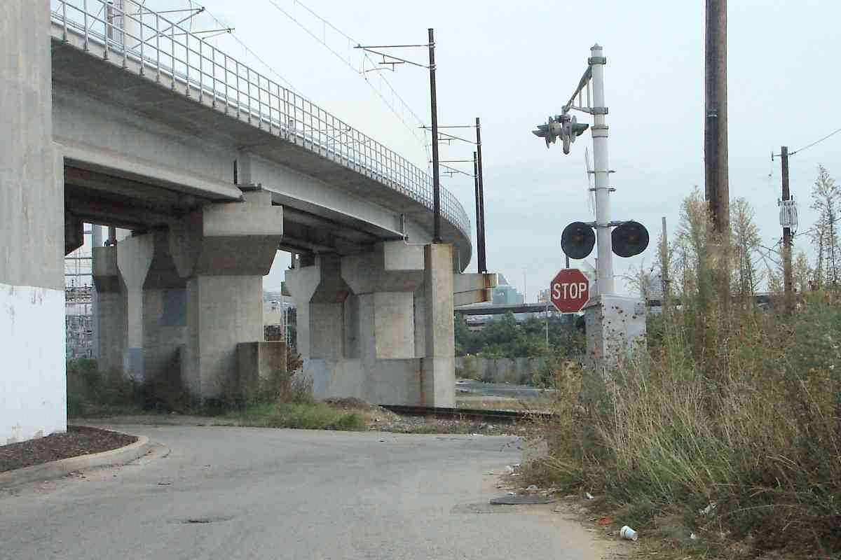
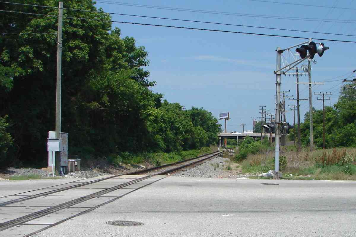
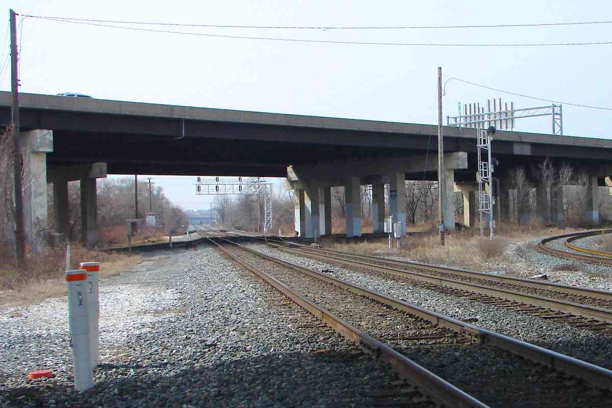
At our feet are the remains of a Russell Street bypass added while that street was
being remolded into MD 295, better known as B-W Parkway, on the left. The
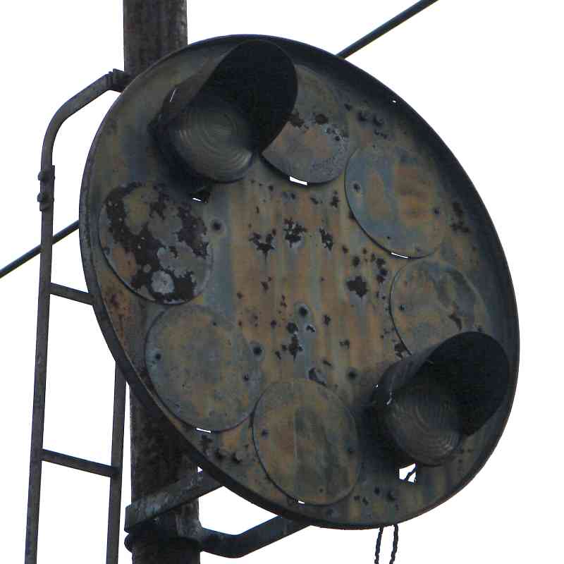
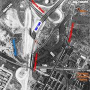 original Russell Street grade crossing was tangent just left of this one, its
right edge about where the crossbuck now is. On the 1964 aerial photo at right,
X marks the photographer's location.
original Russell Street grade crossing was tangent just left of this one, its
right edge about where the crossbuck now is. On the 1964 aerial photo at right,
X marks the photographer's location.
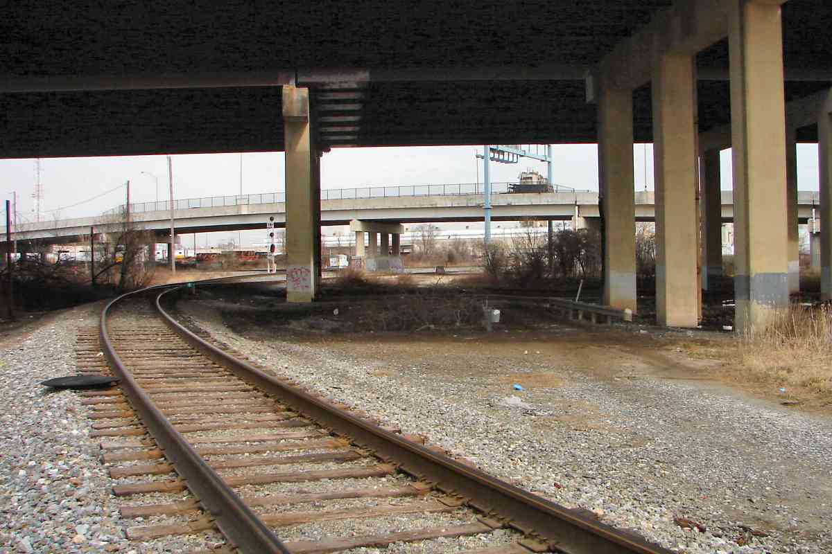
The photo plane during April 1964 captured the northbound MD 295 bridge near completion
while the southbound side is little more that steel framing. Russell Street is
rerouted via temporary blacktop around the Monroe Street - MD 295 construction zone.
About two decades later, elevated I-95 would be added above that intersection,
running west-east, left-right in this view.
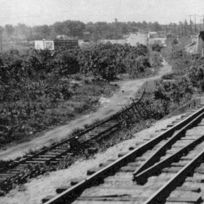
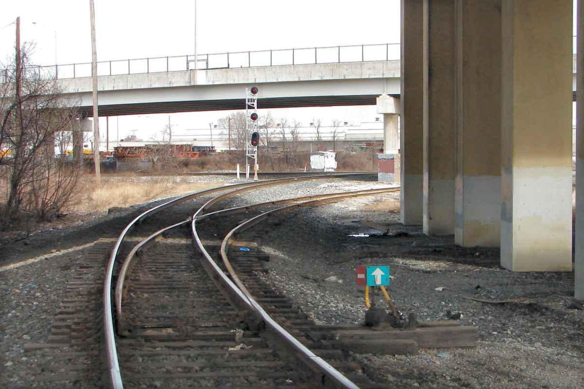
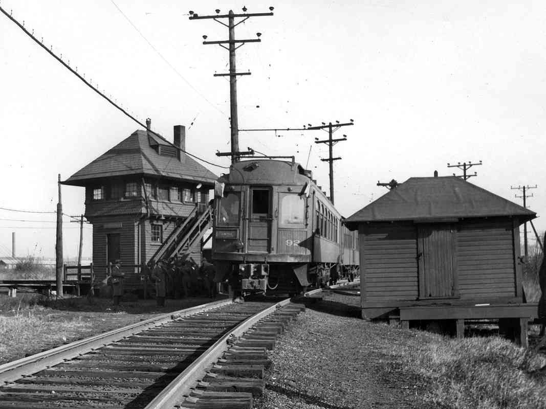
The early-1930s SBB Spur photo below looks south toward here from near the "M"
of "Monroe Street" on the 1964 aerial at right.
| 


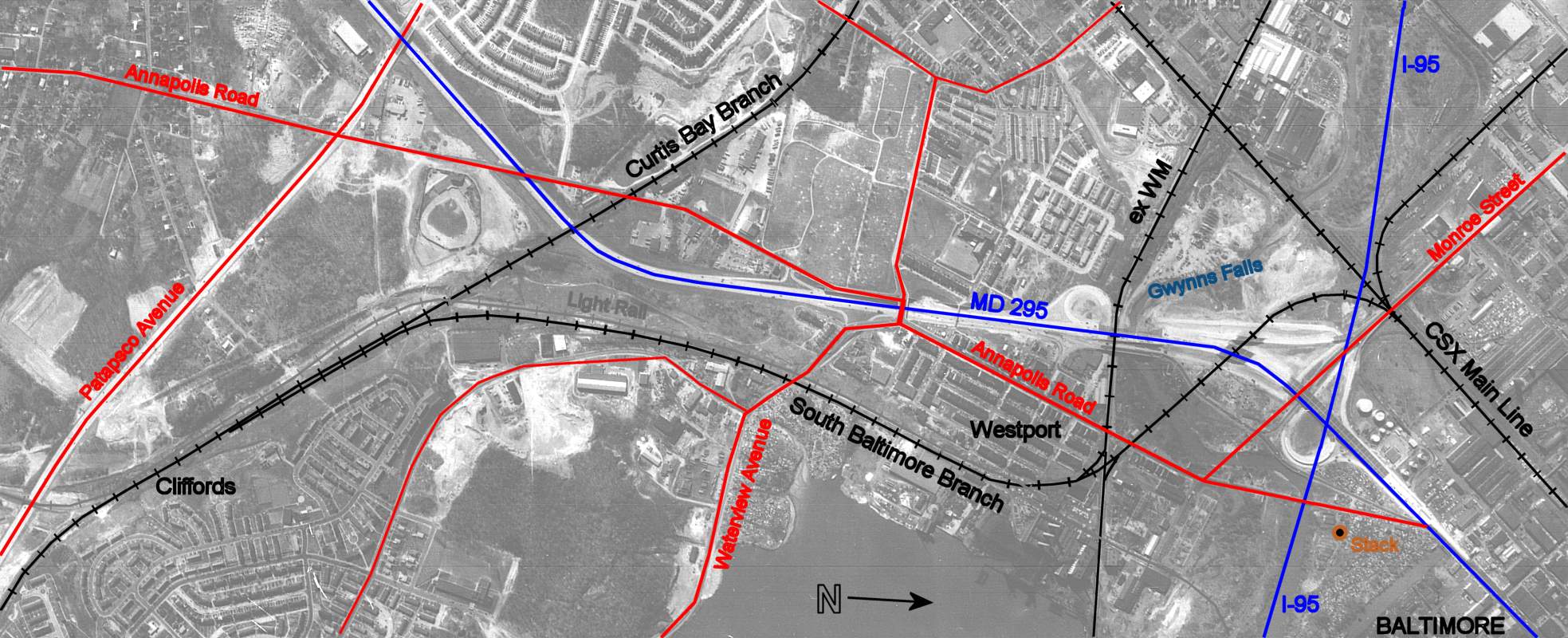


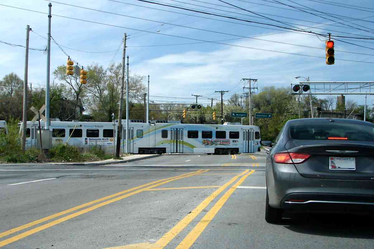


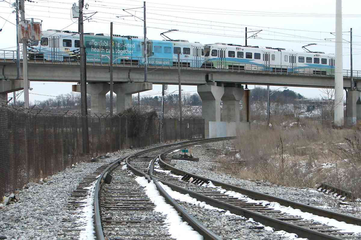
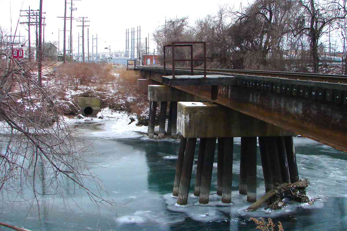


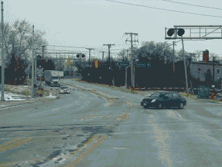 This is a troubled intersection. The problem is busy four-lane Waterview Avenue
is met by both the South Baltimore Branch and light rail, as well as
Kloman Street that is squeezed between in a sort of no-mans land.
This is a troubled intersection. The problem is busy four-lane Waterview Avenue
is met by both the South Baltimore Branch and light rail, as well as
Kloman Street that is squeezed between in a sort of no-mans land.