|
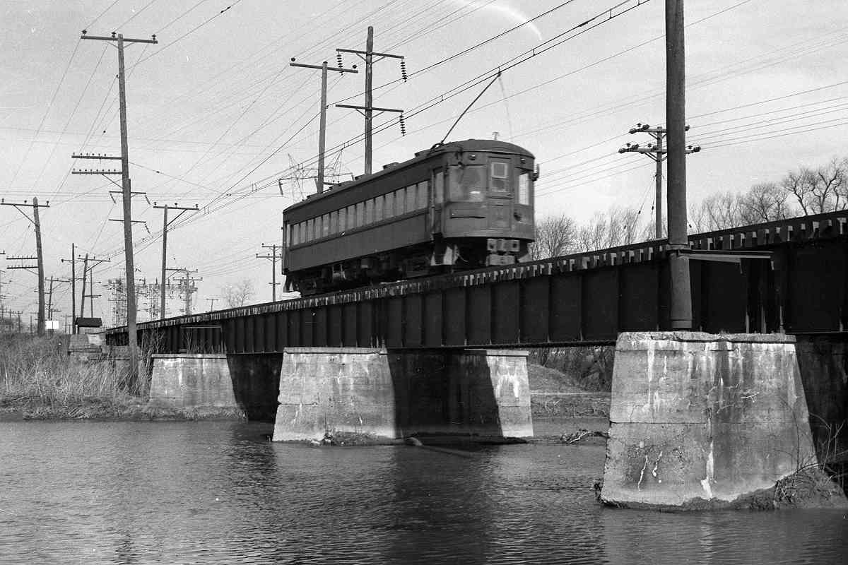
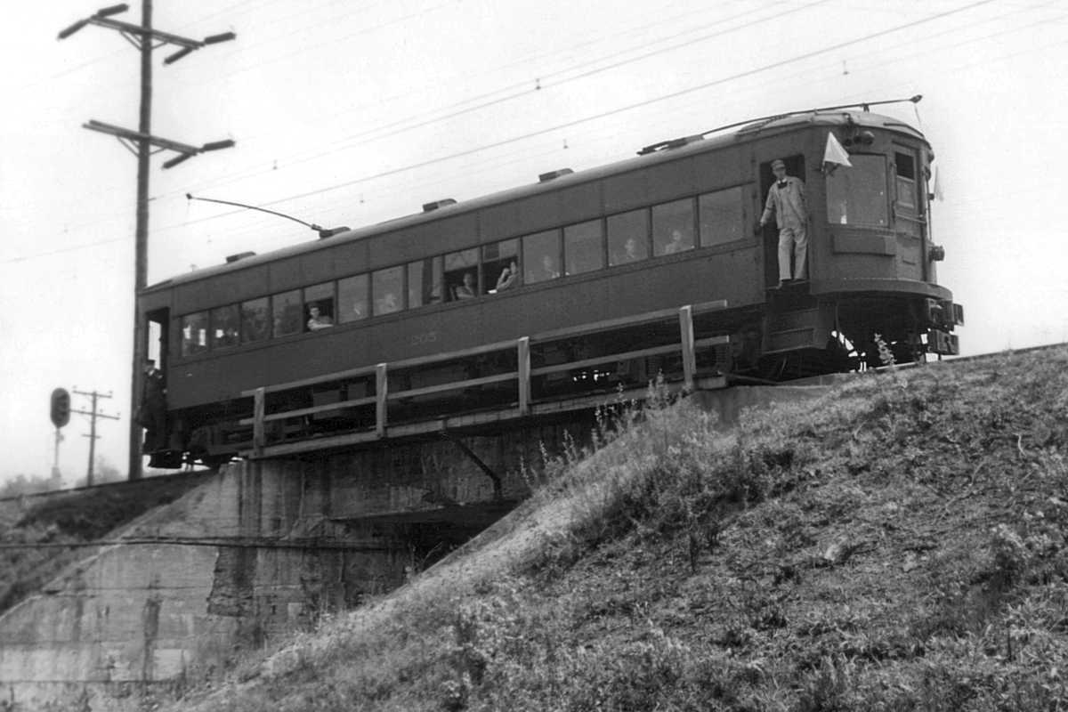
During ASL's early years, it shared B&O's South Baltimore Branch
(now CSX's South Baltimore Industrial Track) north to reach Camden Station.
When ASL electrified in 1908, B&O grew nervous about its trains and
crews operating under the catenary so it built ASL a separate but the
largely parallel route into downtown Baltimore.
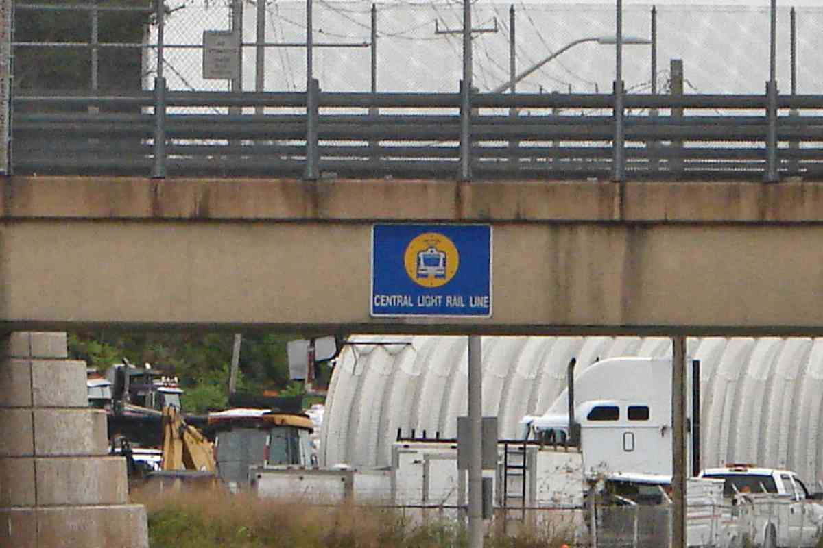
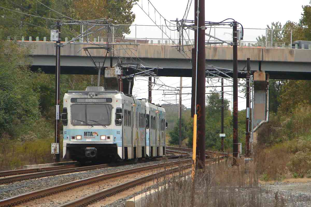
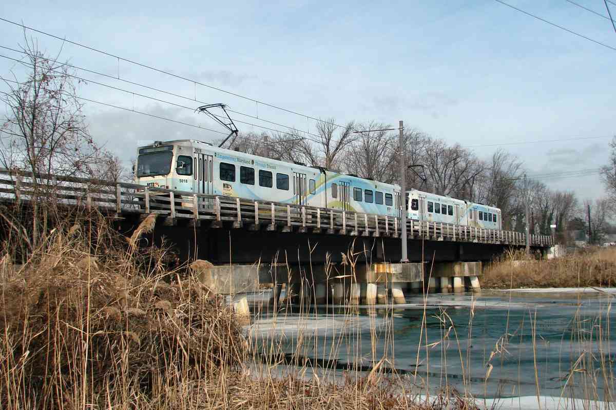
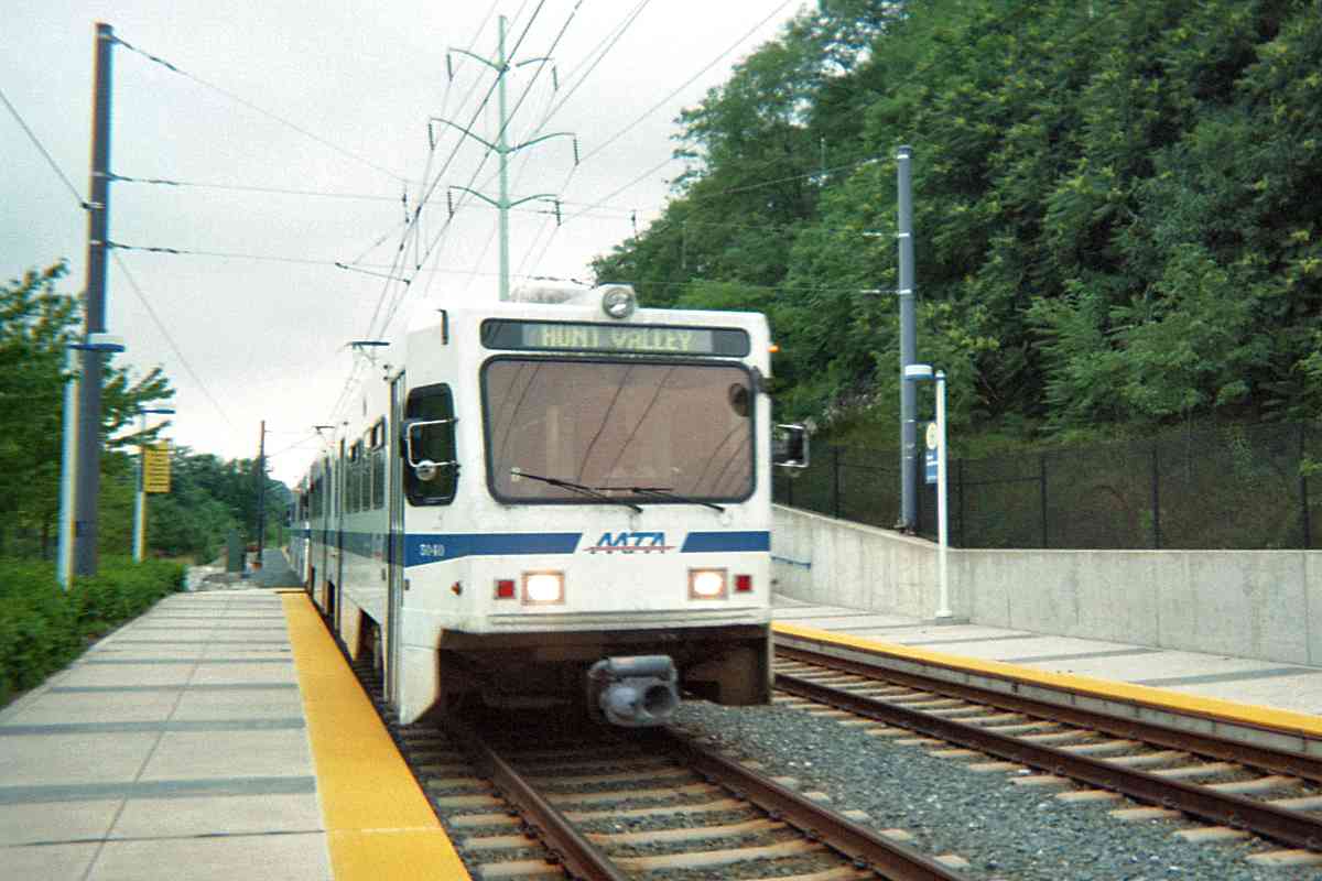
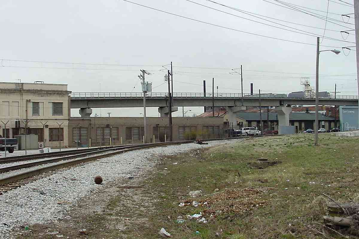
This newer ASL alignment snuck under B&O's Curtis Bay Branch here.
After ASL morphed via several steps into the Baltimore and Annapolis
(B&A), the latter began exchanging traffic ahead at Cliffords. Rail
service then ceased under this bridge until light rail repurposed the route
around 1990. During the interval without rails, the path under the bridge
became part of a dirt road marked Urban Lane on some maps.
Change for:
Curtis Bay Branch tour at this site
| 


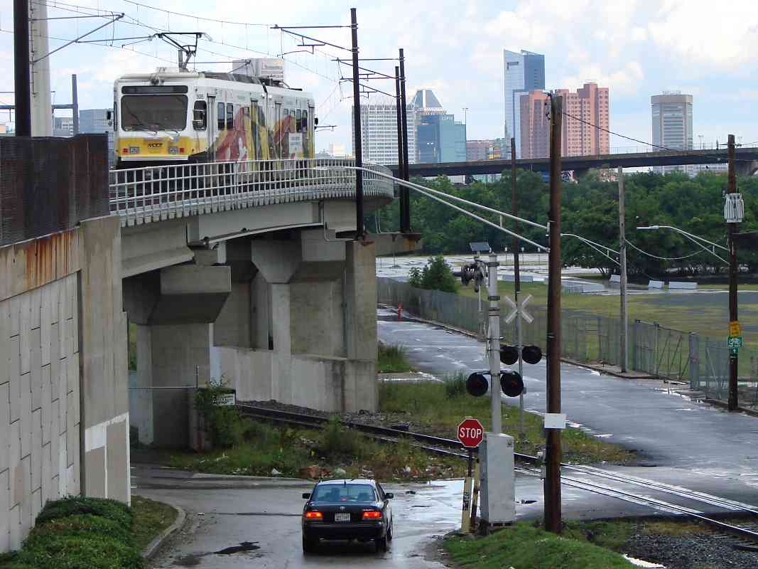
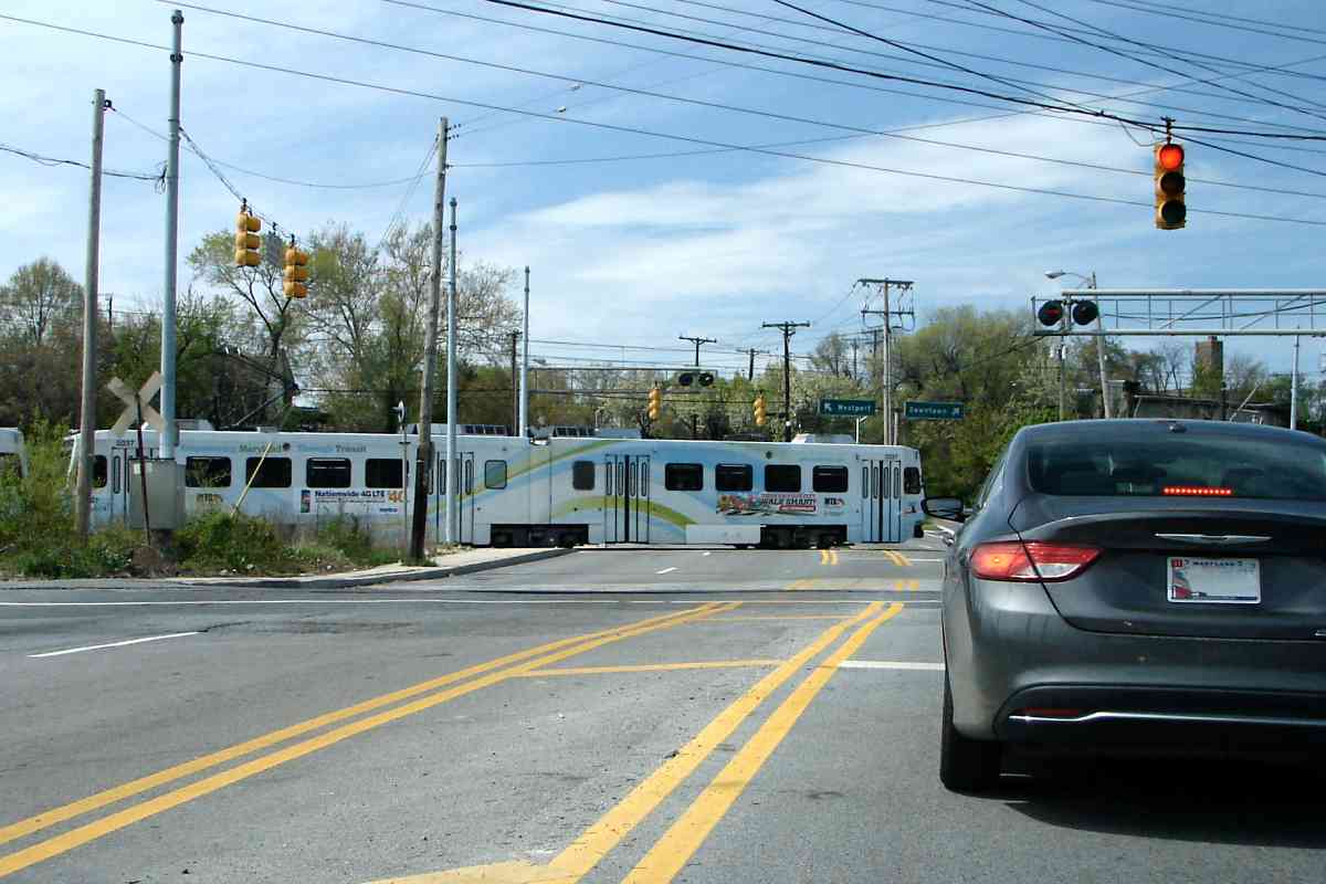


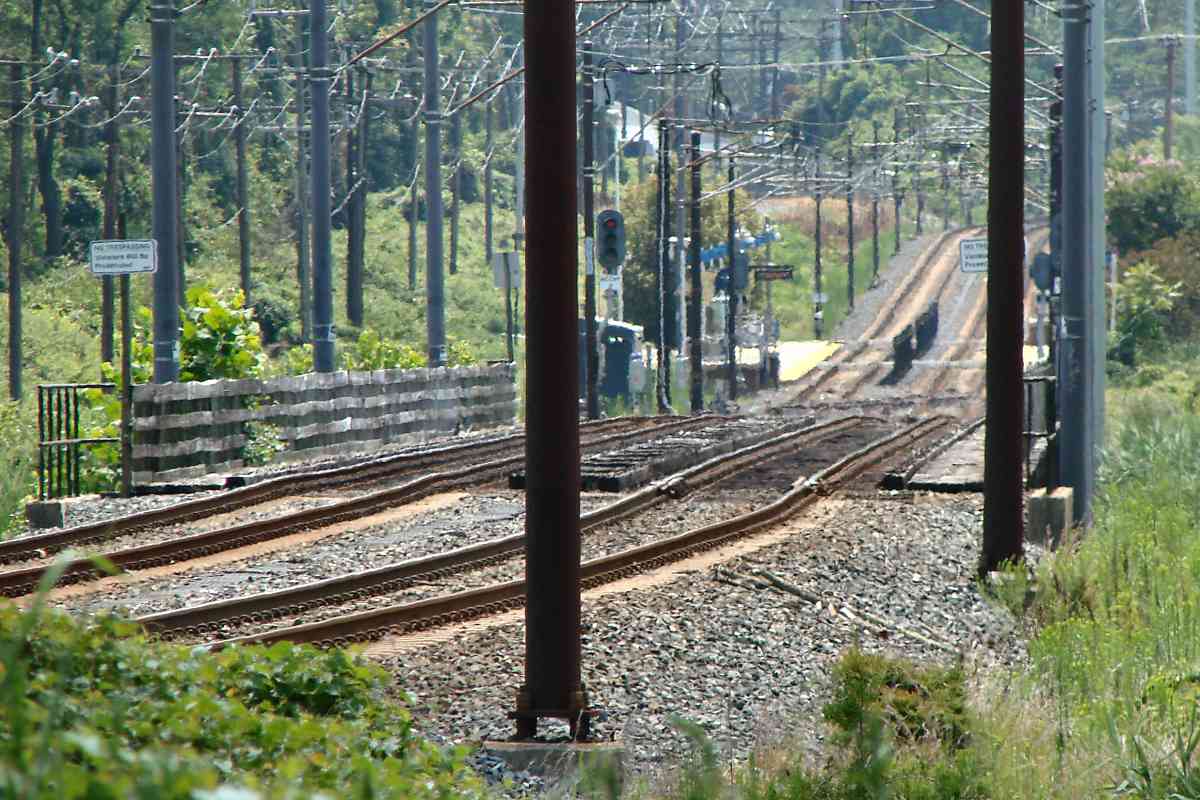

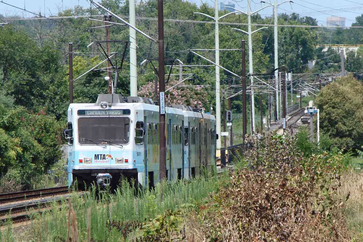

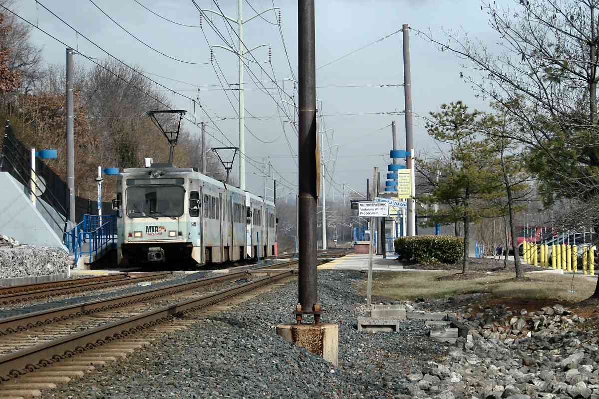


 This is a troubled intersection. The problem is busy 4-lane Waterview Avenue is
met by both CSX's South Baltimore track and light rail, as well as Kloman Street
that is squeezed between in a sort of no-mans land.
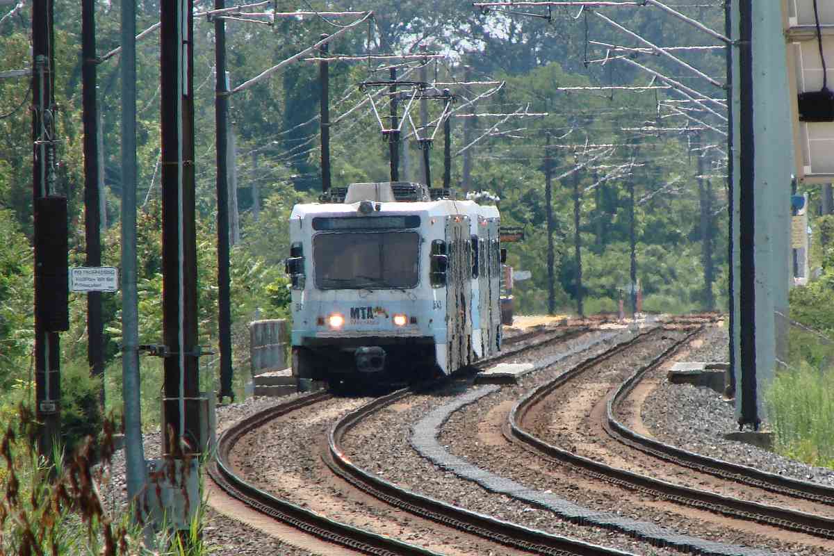
This is a troubled intersection. The problem is busy 4-lane Waterview Avenue is
met by both CSX's South Baltimore track and light rail, as well as Kloman Street
that is squeezed between in a sort of no-mans land.