|
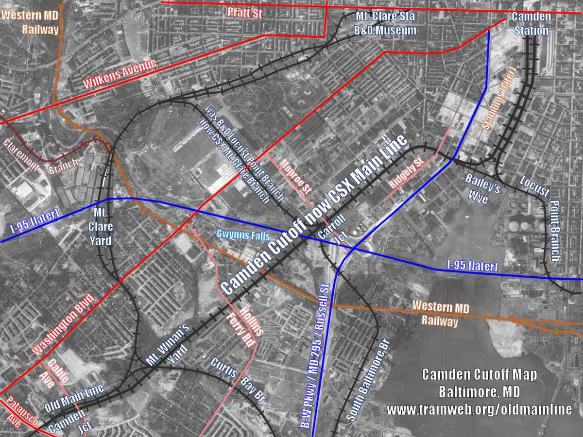
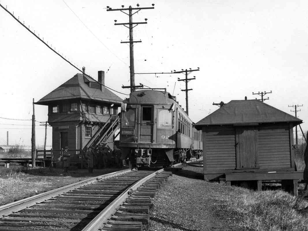
During the 1930s, the Baltimore & Annapolis Railroad picked up the pieces
of the failed Washington, Baltimore & Annapolis Railway, and arranged to
share part of B&O's route to Camden Station. Pictured here is a
2-car B&A fantrip using BA 92 and BA 325, an ex-Long Island Railroad
open-platform el car the B&A operated as a mail car.
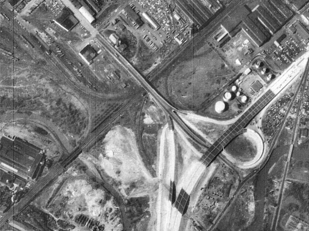
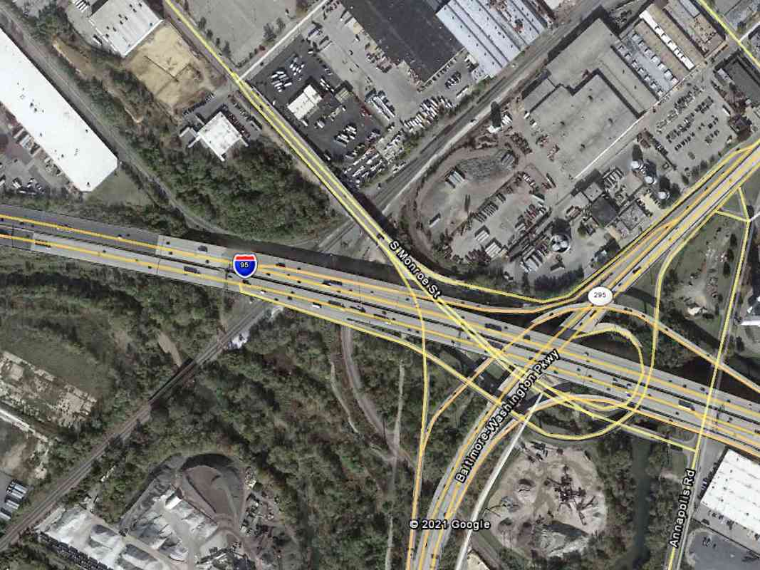
 By 1950, the then-new B-W Parkway would sever this B&A connection with
B&O, and end its passenger operation. B&A would soldier on as
a freight operation until 1985.
By 1950, the then-new B-W Parkway would sever this B&A connection with
B&O, and end its passenger operation. B&A would soldier on as
a freight operation until 1985.
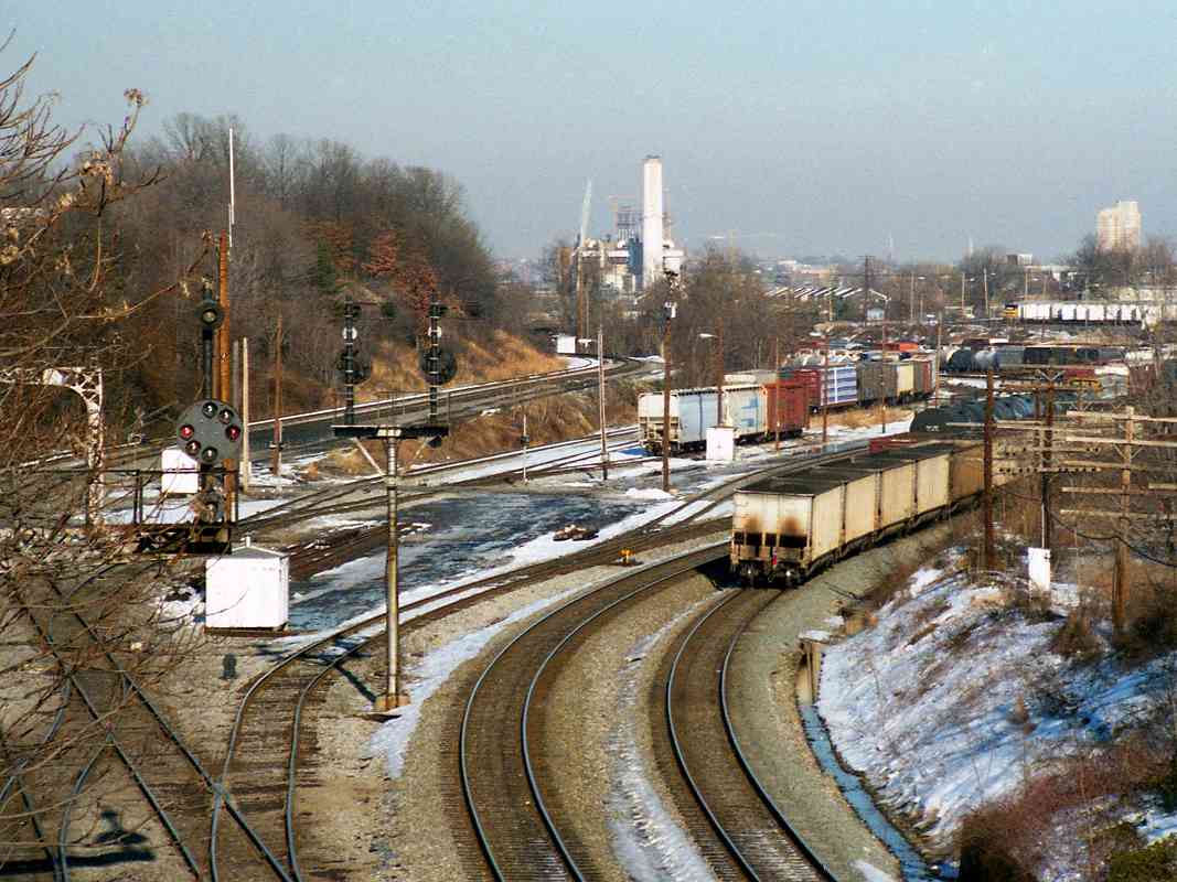
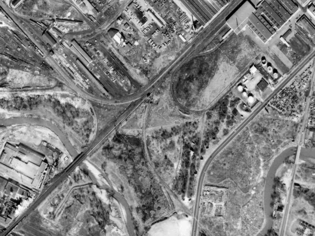
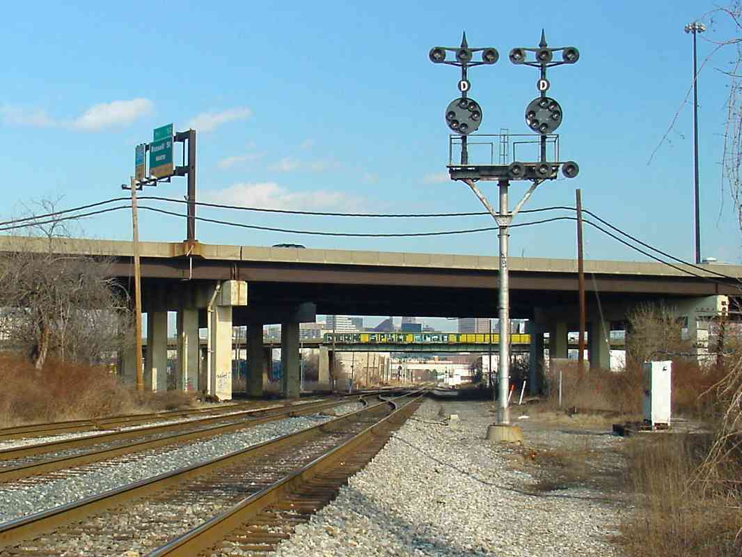
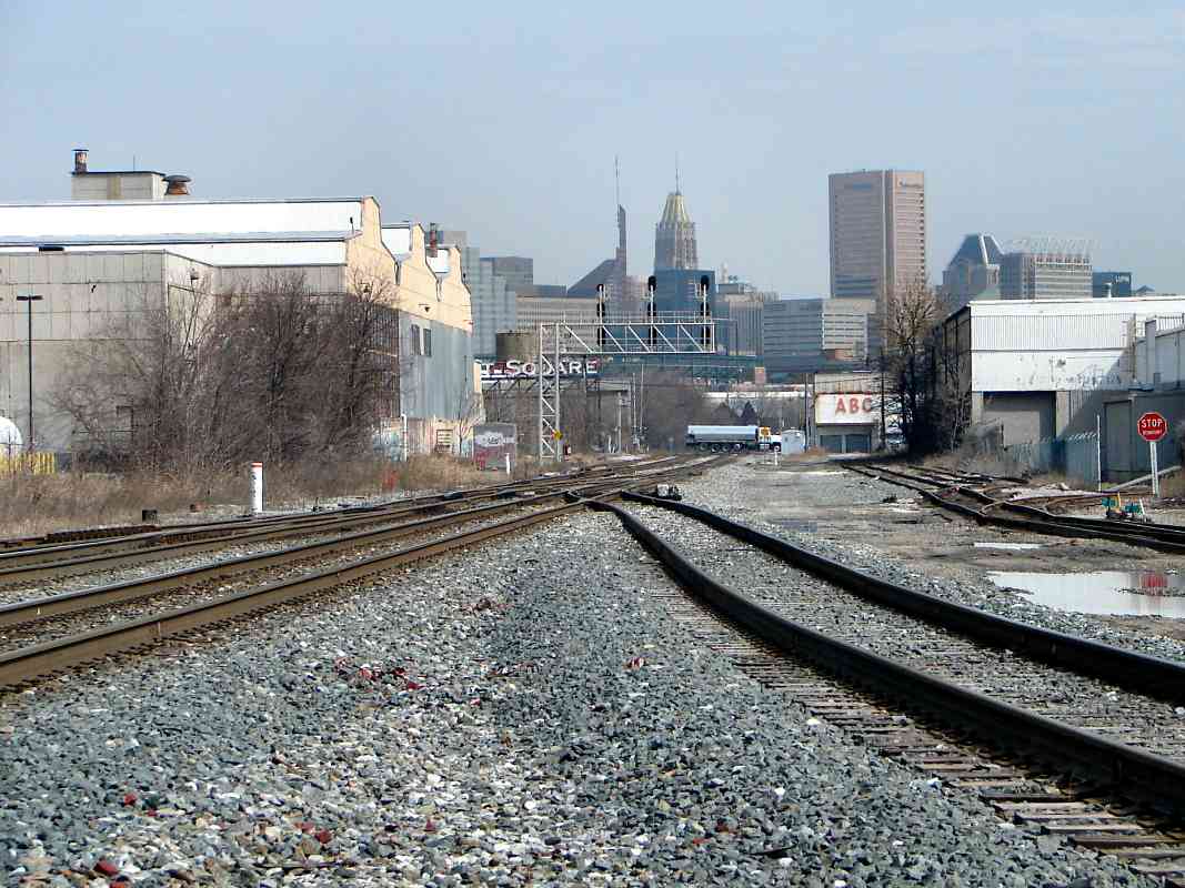
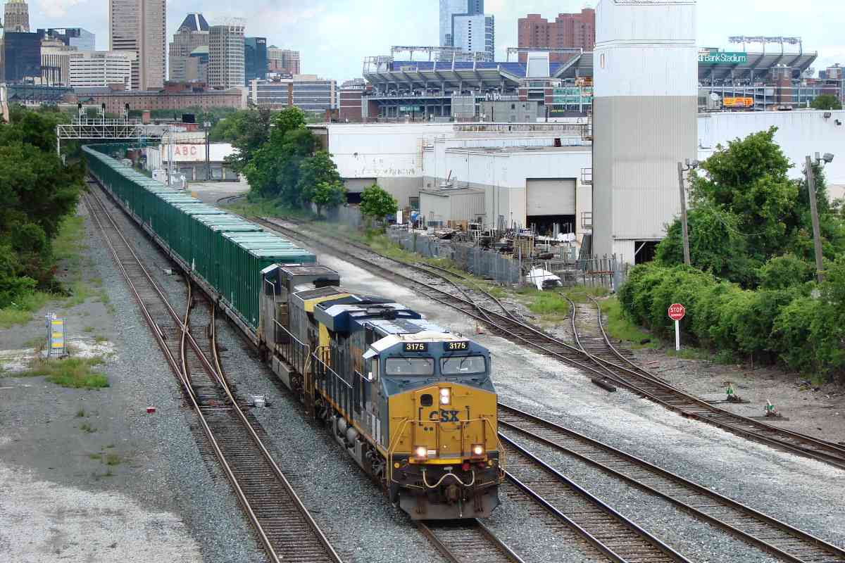
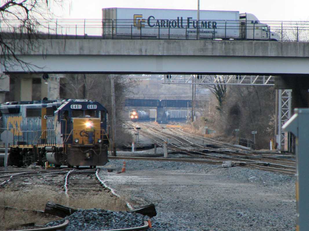
A rebuilt version of B&O's Carroll (CX) Tower would likewise endure until 1985,
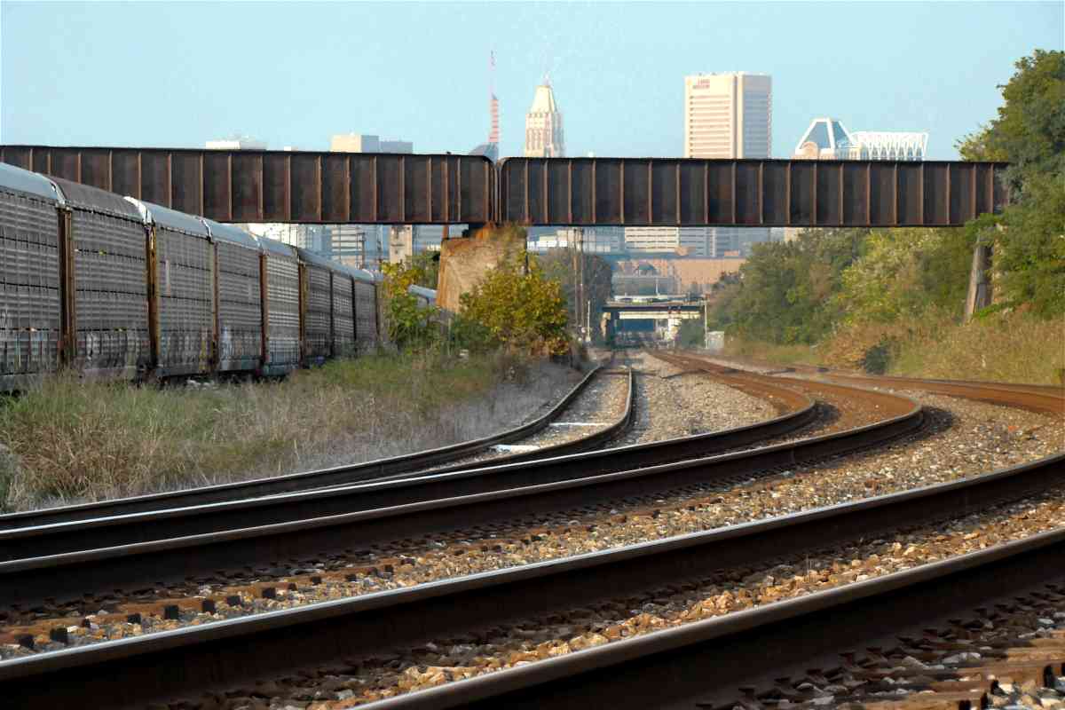
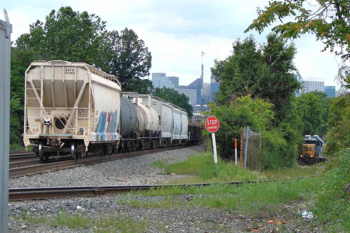
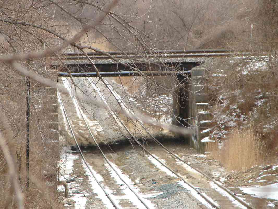
having been hemmed in a few years prior by Interstate 95. I-95 bridged over
the railroad about where the photographer was standing for the main photo.
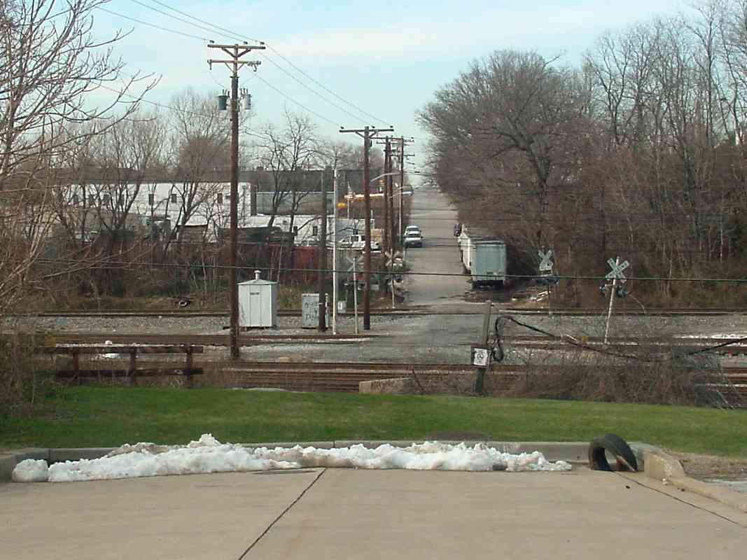
Later (right), a Carroll Fulmer trailer rolled where Carroll Tower had stood.
Links (CX Tower):
~1940,
~1950,
1970s,
1978,
~1980,
board,
levers
|