TrainWeb.org Facebook Page
Washington, DC Metro photos


Washington, DC Metro
Photo group

Accompanying each photo below are:

Click a photo to see a larger view. Please send your comments and corrections to Steve.


<< Previous (index) | THIS PAGE: Green Line, northeast | End of tour || main index

Green Line
Photo courtesy Google

Green Line
Mile: Date: 2020
Ease: View: N (up)
Area: DCM:
Map: PG 7 J 9 (center) Topographic Maps

This page shows photos of Washington Metro Green Line along its surface run from Greenbelt (top) to College Park, Maryland (bottom).


Greenbelt Yard
Photo courtesy Google

Greenbelt Yard
Mile: Date: 2020
Ease: View: N (up)
Area: DCM:
Map: PG 7 J 6 Topographic Maps

Greenbelt, Maryland is home to Metro's northeasternmost yard. Greenbelt Station lies a short distance south of the yard.


24 Repair Bays

24 Repair Bays
Mile: Date: Aug 2018
Ease: B View: N
Area: B DCM:
Map: PG 7 J 6 Topographic Maps

The easiest views of the yard come from the Capital Beltway's outer loop.


MoW Storage

MoW Storage
Mile: Date: Feb 2016
Ease: A View: NE
Area: A- DCM:
Map: PG 7 J 6 Topographic Maps

In addition to the twenty four repair bays, there is room for maintenance of way equipment storage.


Greenbelt Station

Greenbelt Station
Mile: Date: Dec 2003
Ease: A View: E
Area: A- DCM:
Map: PG 7 H 7 Topographic Maps

Greenbelt Station, the terminus of the Green Line, had this uncluttered look during its first decade of operation. Here Metro competes with MARC's Greenbelt Station (foreground). The near tracks are part of CSX's Capital Subdivision, formerly B&O's Washington Branch.


Eight Cars

Eight Cars
Mile: Date: Jan 2021
Ease: B View: N
Area: A- DCM:
Map: PG 7 G 8 Topographic Maps

COVID did not stop Metro from running 8-car trainsets. The track to the left of this train stages trainsets so more capacity can can be inserted into the line as rush hour begins.


Detectors

Detectors
Mile: Date: Jan 2021
Ease: B View: NW
Area: A- DCM:
Map: PG 7 G 8 Topographic Maps

Detectors let the dispatcher know when a train passes.


Greenbelt Road

Greenbelt Road
Mile: Date: Jan 2021
Ease: A View: SW
Area: A- DCM:
Map: PG 7 G 8 Topographic Maps

This train will soon pass under Greenbelt Road.


Walkway

Walkway
Mile: Date: Aug 2019
Ease: A View: SE
Area: A- DCM:
Map: PG 7 G 10 Topographic Maps

Until about 1990, Berwyn Road had crossed at grade here.

During the 2015 addition of a third track for Metro, a contractor mishap led to collapse of a walkway section. Service on the Green Line and adjacent CSX was disrupted until the remaining parts of the walkway could be stabilized. The replacement segment doesn't quite match the original.

Link: report in Washington Post


Single Track

Single Track
Mile: Date: Aug 2019
Ease: B View: NE
Area: A- DCM:
Map: PG 7 G 10 Topographic Maps

Metro's track gauge is 0.25 inches smaller than standard. Rumor has it this was done to assuage NIMBY concerns that freight trains would run on Metro lines. The quarter inch difference, however, is tiny enough that standard gauge equipment can nonetheless operate upon it. Instead, the smaller gauge matches the non-standard cylindrical wheel profile of the cars, which reduces wheel "hunting" and leads to a smoother, if noisier, ride.


Paint Branch

Paint Branch
Mile: Date: Aug 2019
Ease: A View: N
Area: A- DCM:
Map: PG 7 F 12 Topographic Maps

Older (left) and newer (right) trainsets pass over Paint Branch stream.


Interior 1000

Interior 1000
Mile: Date: 1999
Ease: View: S
Area: DCM:
Map: Mo 36 K 10 Topographic Maps

As you might guess, a palette of warm colors was popular when Metro's first cars were being designed and outfitted during the 1970s.


Interior 7000

Interior 7000
Mile: Date: Jul 2019
Ease: View:
Area: DCM:
Map: DC 4 B 13 Topographic Maps

The 7000 series cars introduced during 2016 came with cool-palette interiors. As with all trendy color schemes, this one, too, will look dated after a few decades.


Cousins

Cousins
Mile: Date: Aug 2019
Ease: A View: N
Area: A- DCM:
Map: PG 7 F 12 Topographic Maps

Distant cousins pass over Campus Drive, which during the 1990s largely took the place of a B&O spur to the University of Maryland.


Purple Line

Purple Line
Mile: Date: Jan 2021
Ease: A View: NW
Area: A- DCM:
Map: PG 7 F 12 Topographic Maps

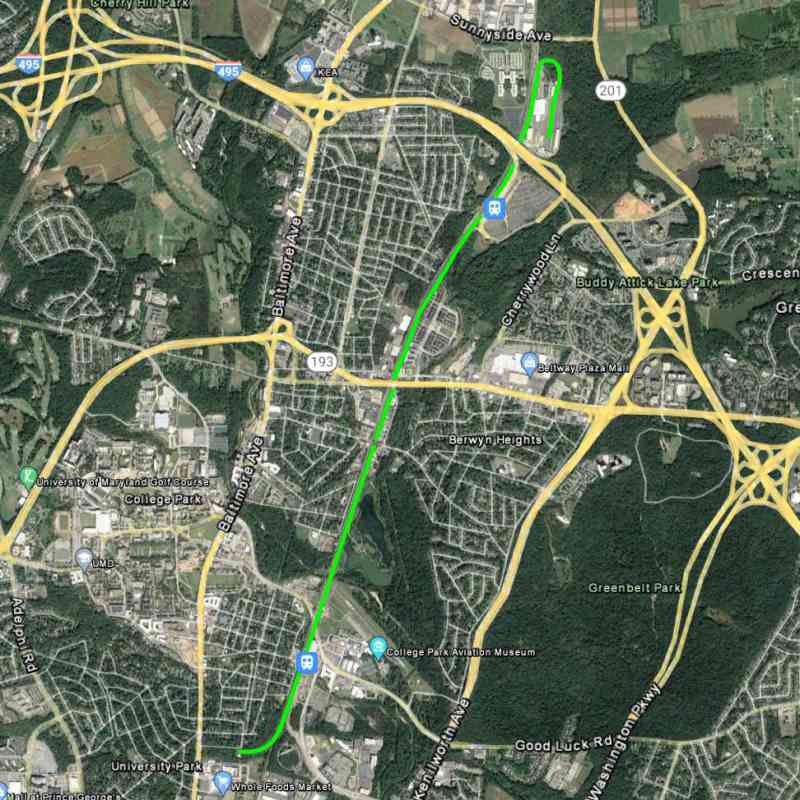
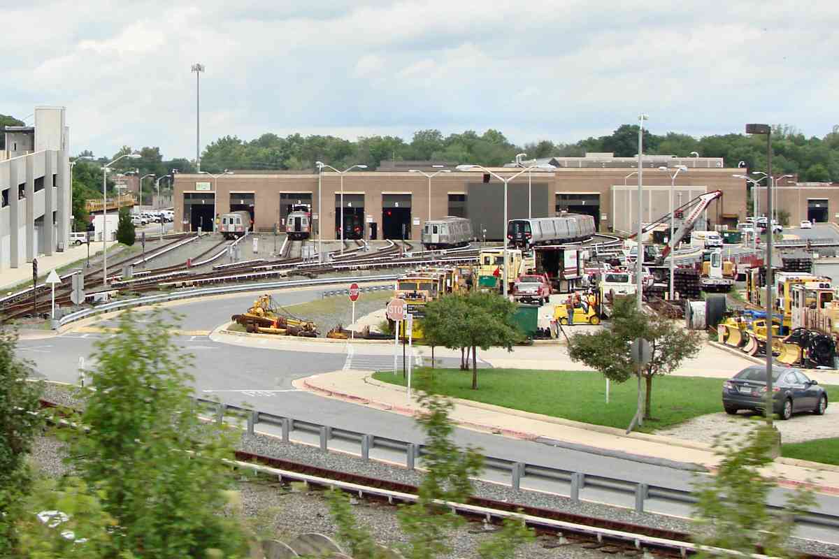
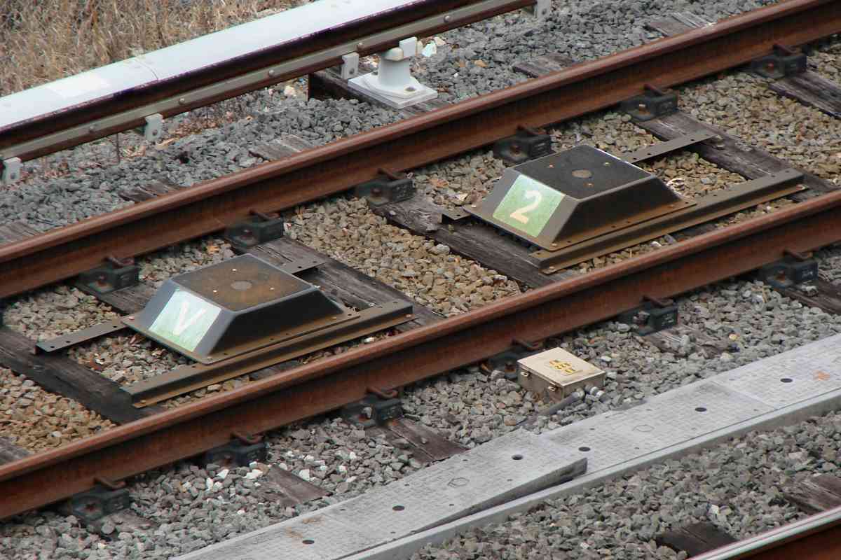
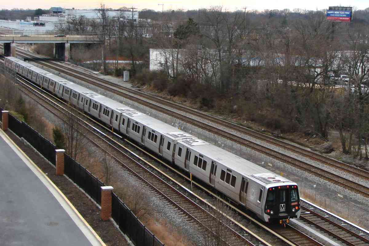
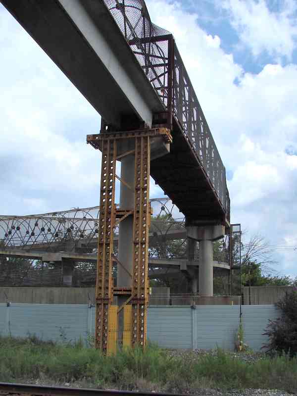
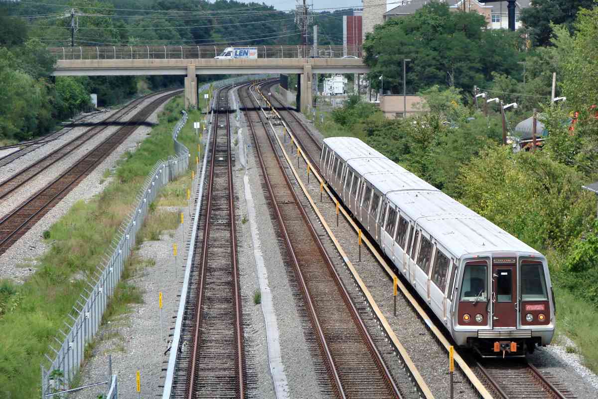
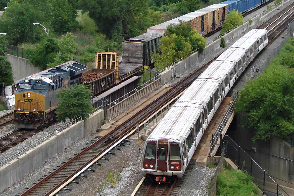
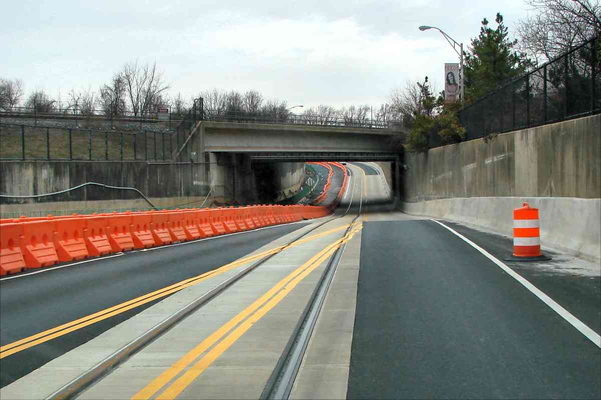
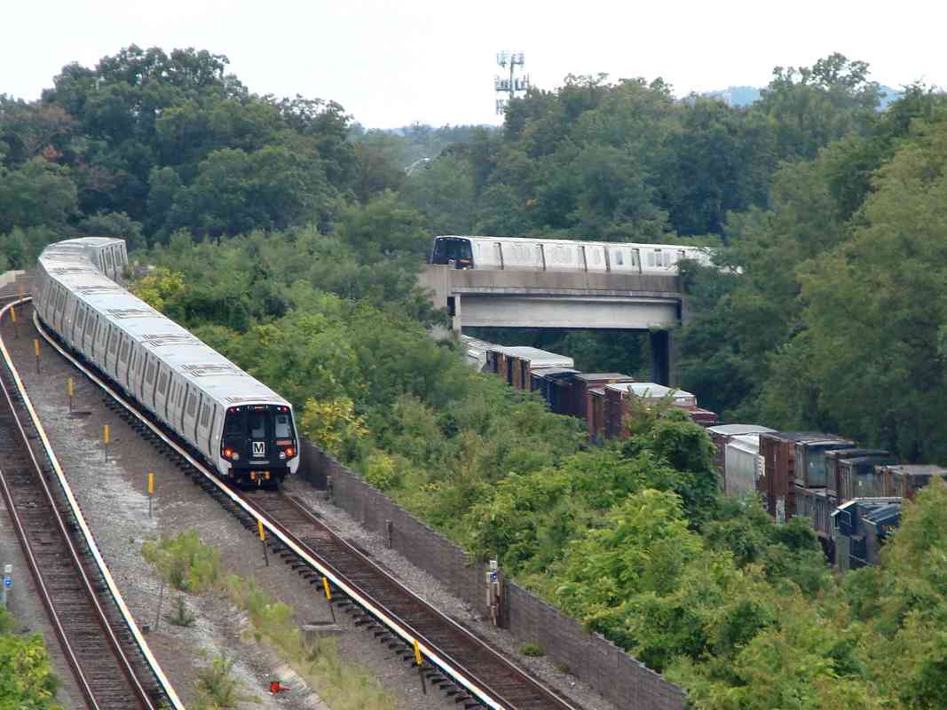
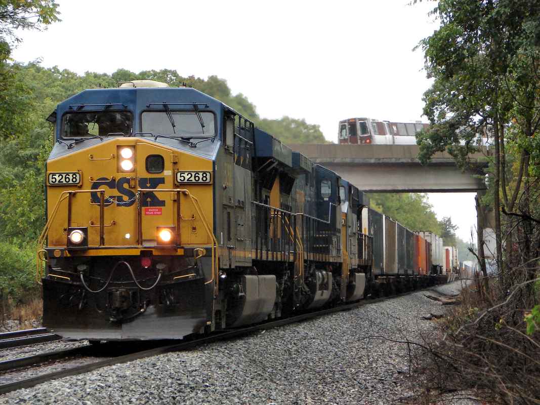
The Purple Line, under construction at photo time, follows Campus Drive under CSX and Metro. The line is a delayed, over budget, mostly surface-rail project of Maryland to connect Bethesda and New Carrollton.

As much as I enjoy railroads, I question whether there is sufficient demand for the Purple Line to justify its cost. Its $5.6 billion price tag divided by the 130 million trips expected during the system's 30-year life span equates to a per-trip cost of $42. I doubt many people would ride the 16.2 mile long Purple Line if its fare were $42.

Link: Purple Line official site


College Park Station

College Park Station
Mile: Date: Aug 2019
Ease: A View: SW
Area: A- DCM:
Map: PG 7 F 12 Topographic Maps

At the northeast end of Metro's College Park Station, a now-closed stairway leads to a no man's zone between the tracks. I do not know what its purpose was. Judging by aerial photos, it appears to never have been put to use by Metro passengers.


Four Trains

Four Trains
Mile: Date: Aug 2019
Ease: A View: SW
Area: B DCM:
Map: PG 7 F 12 Topographic Maps

One photo, four tracks, and four moving trains, a personal best. The Purple Line will parallel on the left, presenting the chance to capture six moving trains at once. My estimate math says you'll need to wait here 91 years to have a 50% chance of seeing six trains moving at once, whereas the average wait to see four is merely 2.3 years.

Video: low-resolution MPG of the four trains moving


CSX 5268

CSX 5268
Mile: Date: Oct 2013
Ease: B View: N
Area: B DCM:
Map: PG 12 E 1 Topographic Maps

Metro's Green Line rises over the freight tracks before disappearing into a hillside tunnel (unseen at left) and progressing west under University Park.

All Metro cars had the same basic appearance as the original models from the 1970s when the system opened. That changed upon the arrival of the "7000 series" cars in 2016.


Transition
NEW! early-Mar 2023

Transition
Mile: Date: Mar 2022
Ease: B+ View: E
Area: B DCM:
Map: PG 12 E 1 Topographic Maps

Before it can reach Riverdale, the Green Line instead curves west and transitions to running underground.


Gallery Place
NEW! early-Mar 2023

Gallery Place
Mile: Date: Apr 1999
Ease: View:
Area: DCM:
Map: DC 16 B 1 Topographic Maps

The Green Line meets the Red Line at Gallery Place - Chinatown.


L'Enfant Plaza

L'Enfant Plaza
Mile: Date: Apr 1999
Ease: View:
Area: DCM:
Map: DC 16 B 3 Topographic Maps

No station is served by more Metro lines than is L'Enfant Plaza. The Green Line is one of five that stops here. All Metro underground stations have this basic appearance and subdued lighting.


You may enjoy seeing what's above this spot on the RF&P Sub tour at this site.

<< Previous (index) | THIS PAGE: Green Line, northeast | End of tour || main index

For more tours here now, select from the map: clickable map

Or, return to main page

Copyright Notice