Click a photo to see a larger view. Please send your comments and corrections to Steve.
Brief Historical Background: CSX RF&P Subdivision
Via a series of mergers and acquisitions, the RF&P wound up in the hands of CSX during the 1990s. The RF&P Subdivision, the subject of this tour, is CSX's combination of RF&P trackage with Pennsylvania Railroad's route through Washington, DC. Though the subdivision begins in Richmond, this tour starts in Northern Virginia on the outskirts of Washington at what had been the RF&P's Potomac Yard.
This tour proceeds generally north and east. Most photos with a View of south or west look opposite to the tour direction. Many photos below are displayed with the kind permission of the District Department of Transportation (DDOT) that maintains a collection of photos online.

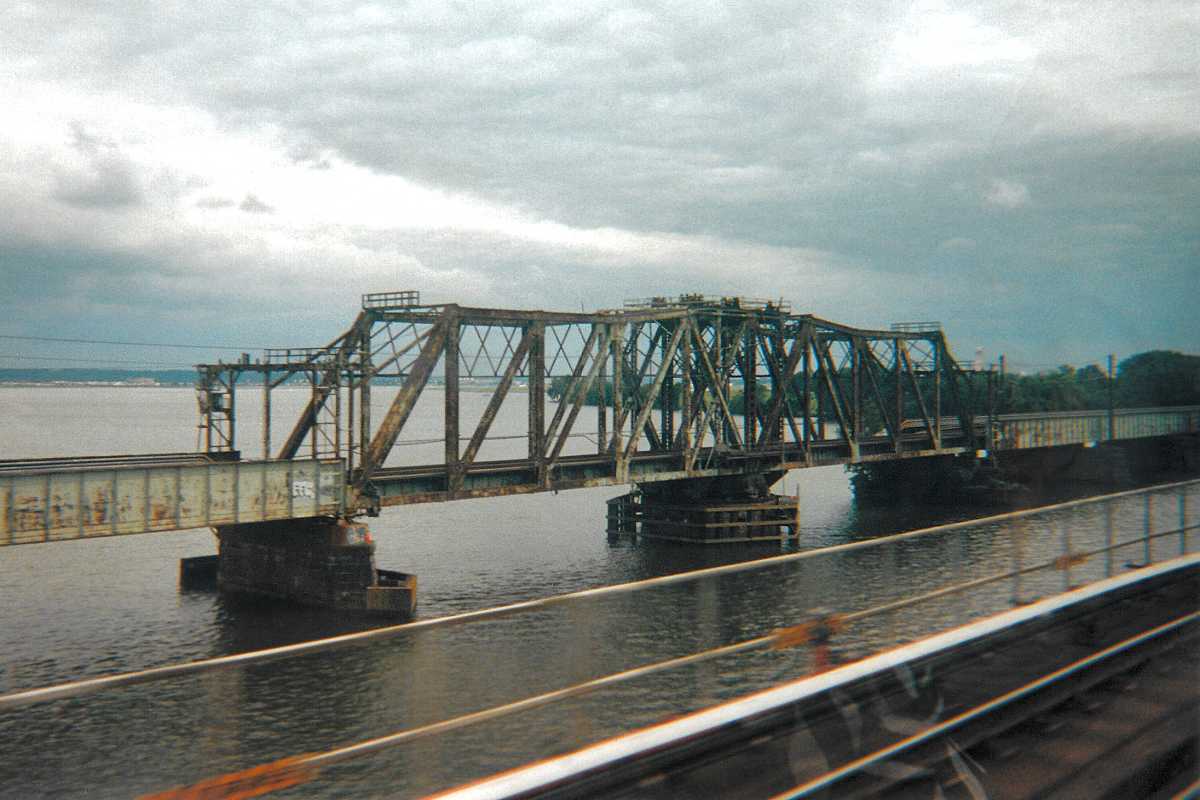
Photo courtesy B&O History Collection |
| |||||||||||
| ||||||||||||

Photo courtesy B&O History Collection |
| |||||||||||
| ||||||||||||
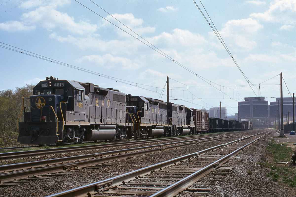
Photo credit JD Engles B&O History Collection |
| |||||||||||
| ||||||||||||
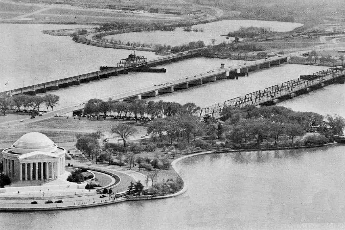
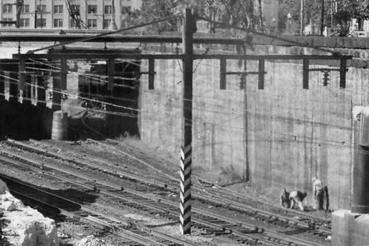
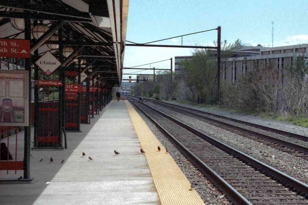
Photo courtesy District Department of Transportation (DDOT) Library |
| |||||||||||
| ||||||||||||
|
| |||||||||||
| ||||||||||||
|
| |||||||||||
| ||||||||||||

Image courtesy Library of Congress |
| |||||||||||
| ||||||||||||
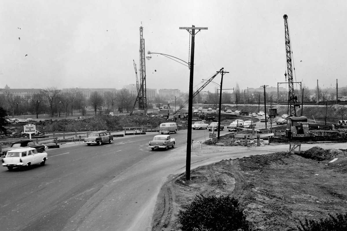
Photo courtesy District Department of Transportation (DDOT) Library |
| |||||||||||
| ||||||||||||
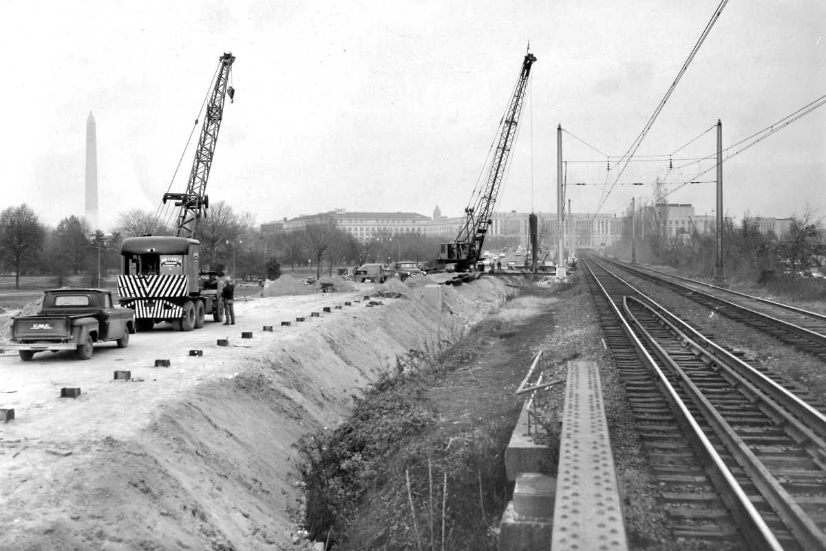
Photo courtesy District Department of Transportation (DDOT) Library |
| |||||||||||
| ||||||||||||

Photo courtesy District Department of Transportation (DDOT) Library |
| |||||||||||
| ||||||||||||
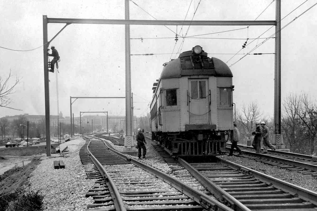
Photo courtesy District Department of Transportation (DDOT) Library |
| |||||||||||
| ||||||||||||
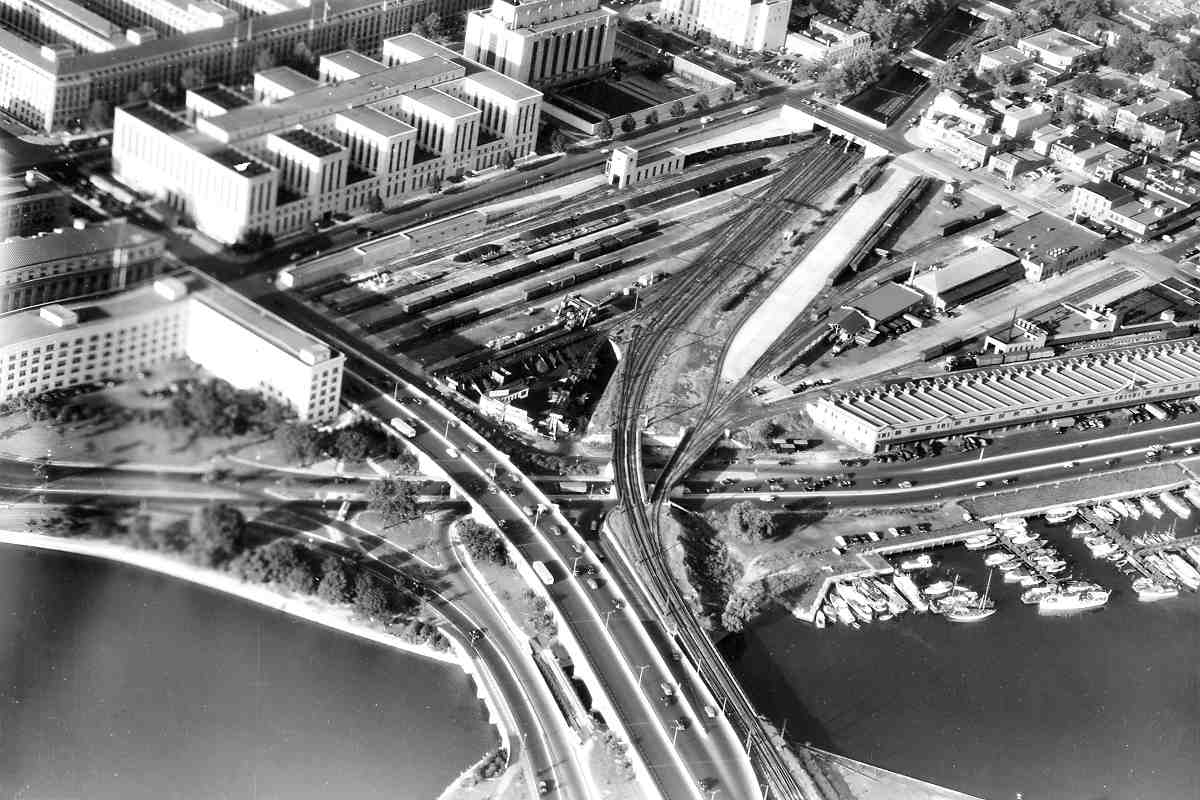
Photo courtesy District Department of Transportation (DDOT) Library |
| |||||||||||
| ||||||||||||
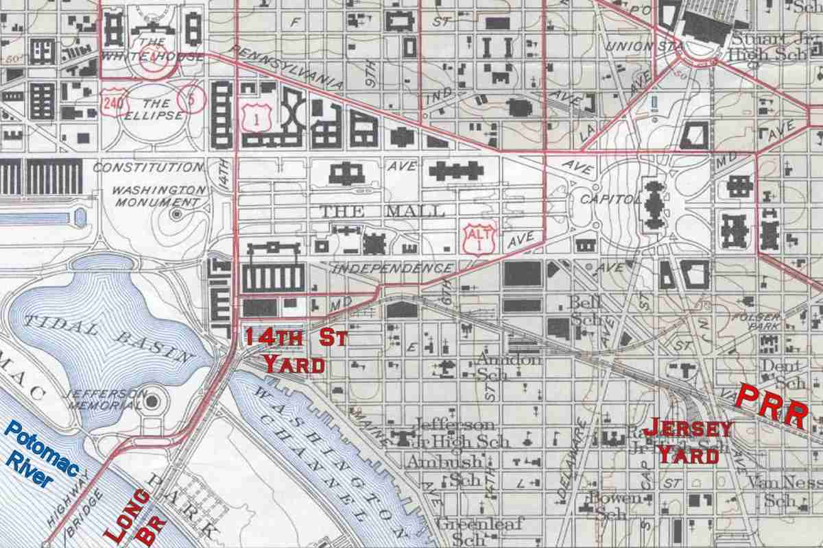
Image courtesy Library of Congress |
| |||||||||||
| ||||||||||||

Photo courtesy District Department of Transportation (DDOT) Library |
| |||||||||||
| ||||||||||||
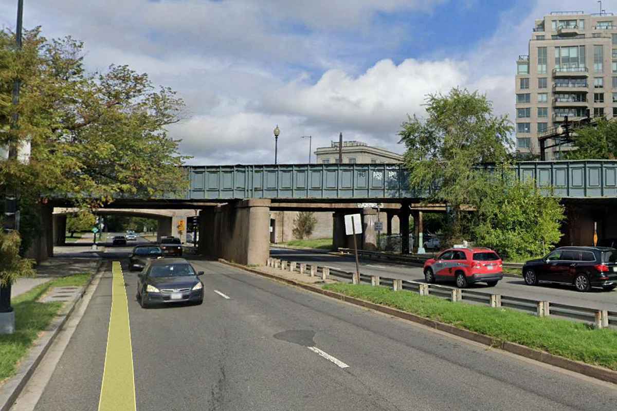
Photo courtesy Google |
| |||||||||||
| ||||||||||||
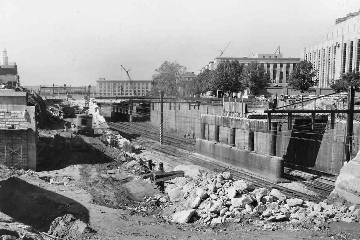
Photo courtesy District Department of Transportation (DDOT) Library |
| |||||||||||
| ||||||||||||
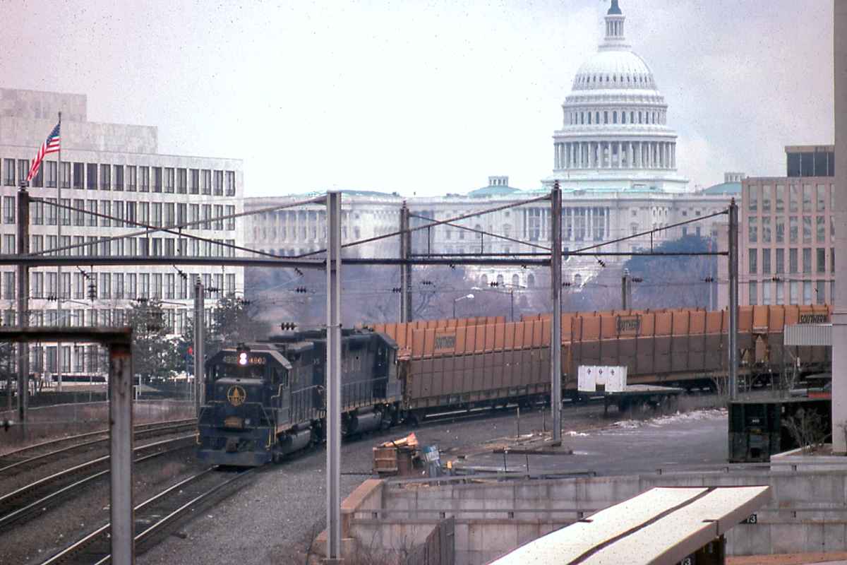
Photo courtesy B&O History Collection |
| |||||||||||
| ||||||||||||
Photo courtesy District Department of Transportation (DDOT) Library |
| |||||||||||
| ||||||||||||

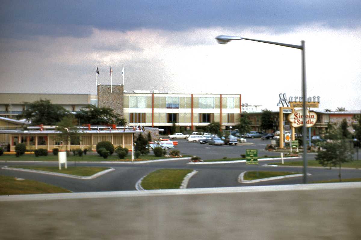
Photo courtesy Google |
| |||||||||||
| ||||||||||||
Photo courtesy District Department of Transportation (DDOT) Library |
| |||||||||||
| ||||||||||||
|
| |||||||||||
| ||||||||||||
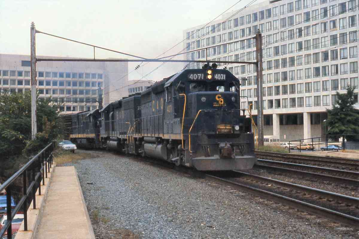
Photo credit Don Smith B&O History Collection |
| |||||||||||
| ||||||||||||
|
| |||||||||||
| ||||||||||||
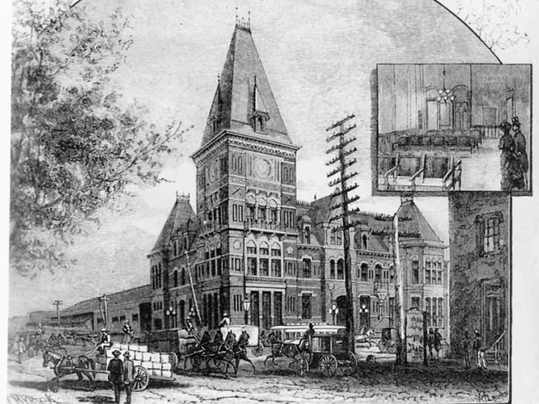
Image courtesy Library of Congress |
| |||||||||||
| ||||||||||||
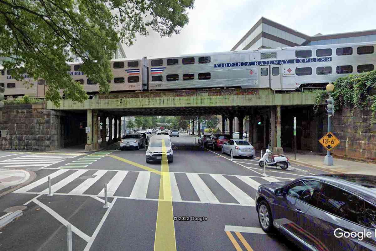
Photo courtesy Google |
| |||||||||||
| ||||||||||||
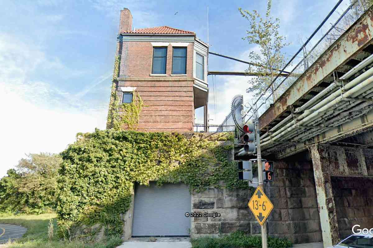
Photo courtesy Google |
| |||||||||||
| ||||||||||||
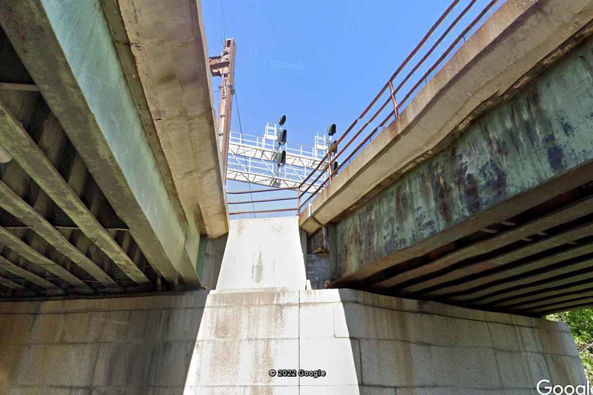
Photo courtesy Google |
| |||||||||||
| ||||||||||||

Photo courtesy Google |
| |||||||||||
| ||||||||||||
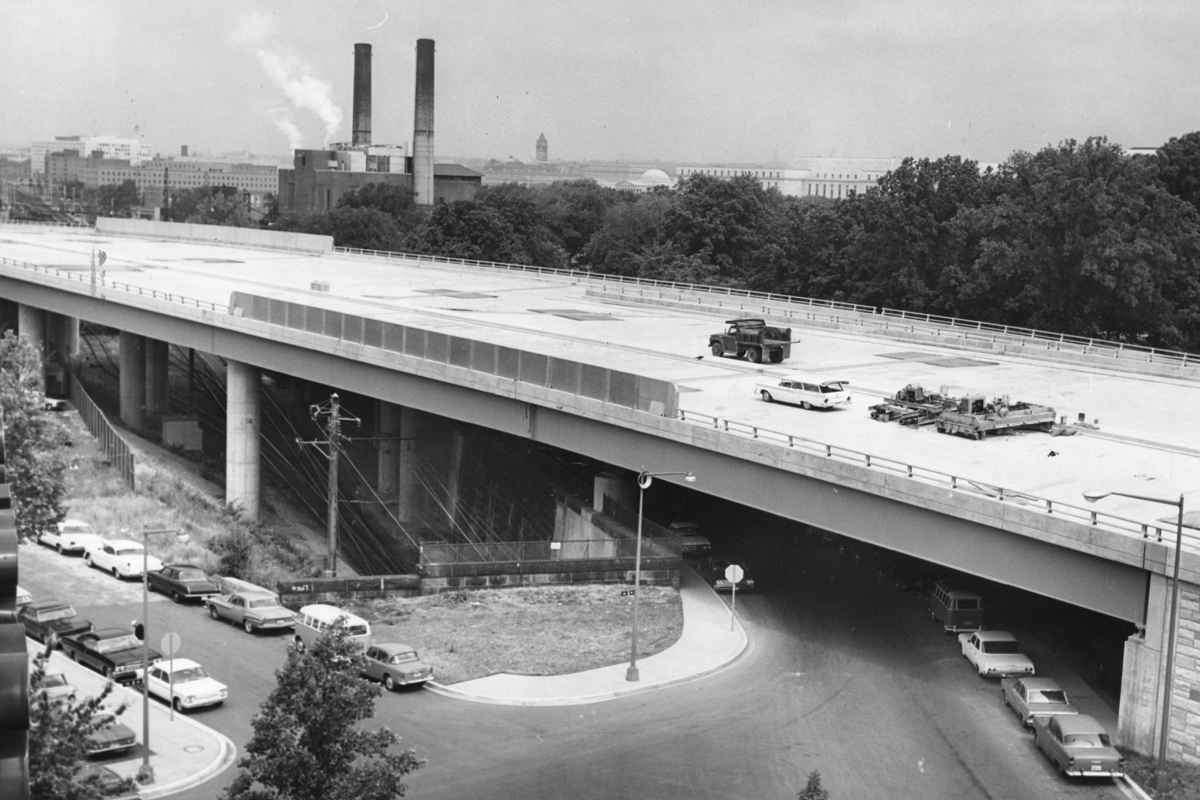
Photo courtesy District Department of Transportation (DDOT) Library |
| |||||||||||
| ||||||||||||
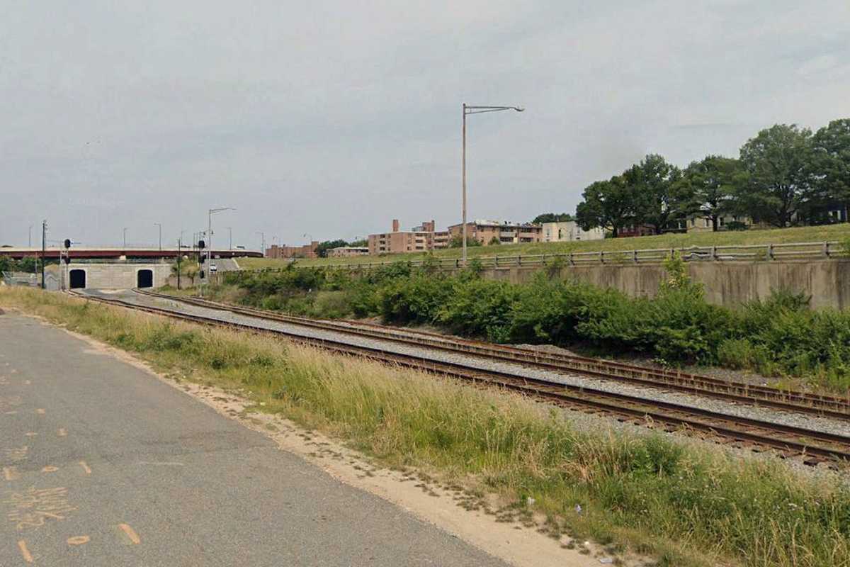
Photo courtesy Google |
| |||||||||||
| ||||||||||||
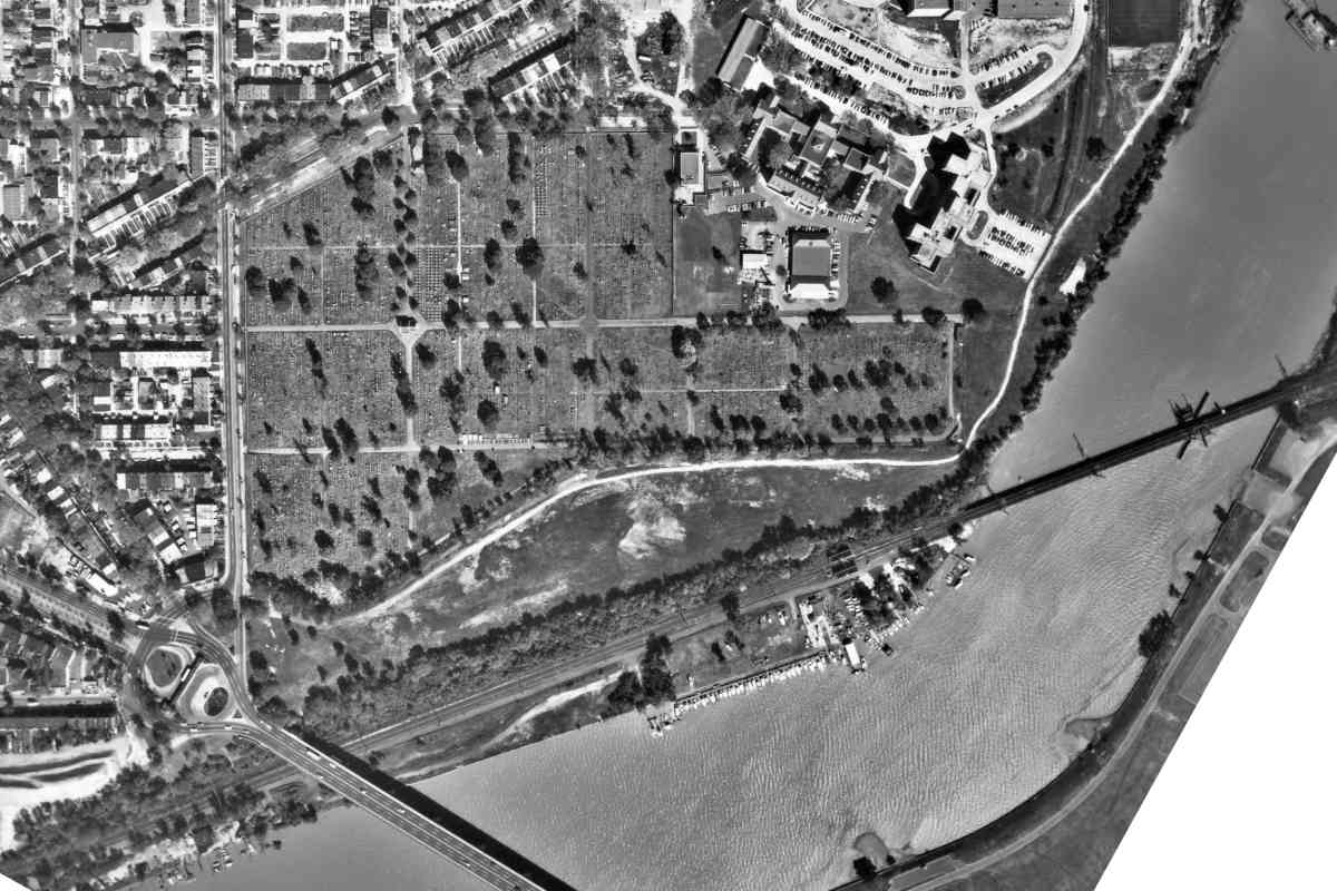
Photo courtesy District Department of Transportation (DDOT) Library |
| |||||||||||
| ||||||||||||
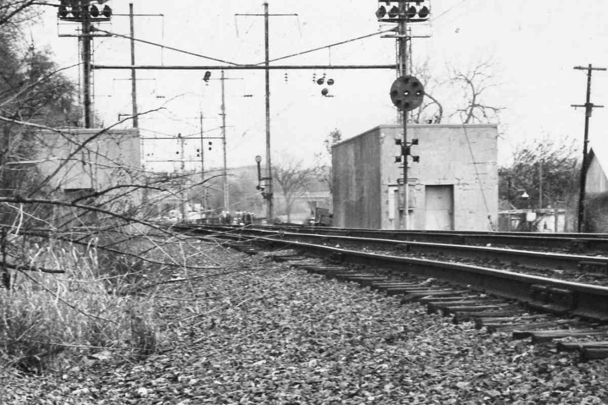
Photo courtesy District Department of Transportation (DDOT) Library |
| |||||||||||
| ||||||||||||

Photos courtesy District Department of Transportation (DDOT) Library |
| |||||||||||
| ||||||||||||
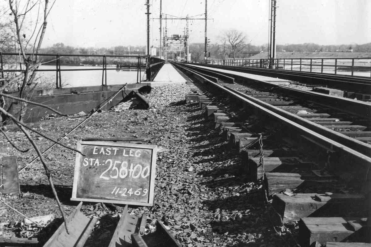
Photo courtesy District Department of Transportation (DDOT) Library |
| |||||||||||
| ||||||||||||