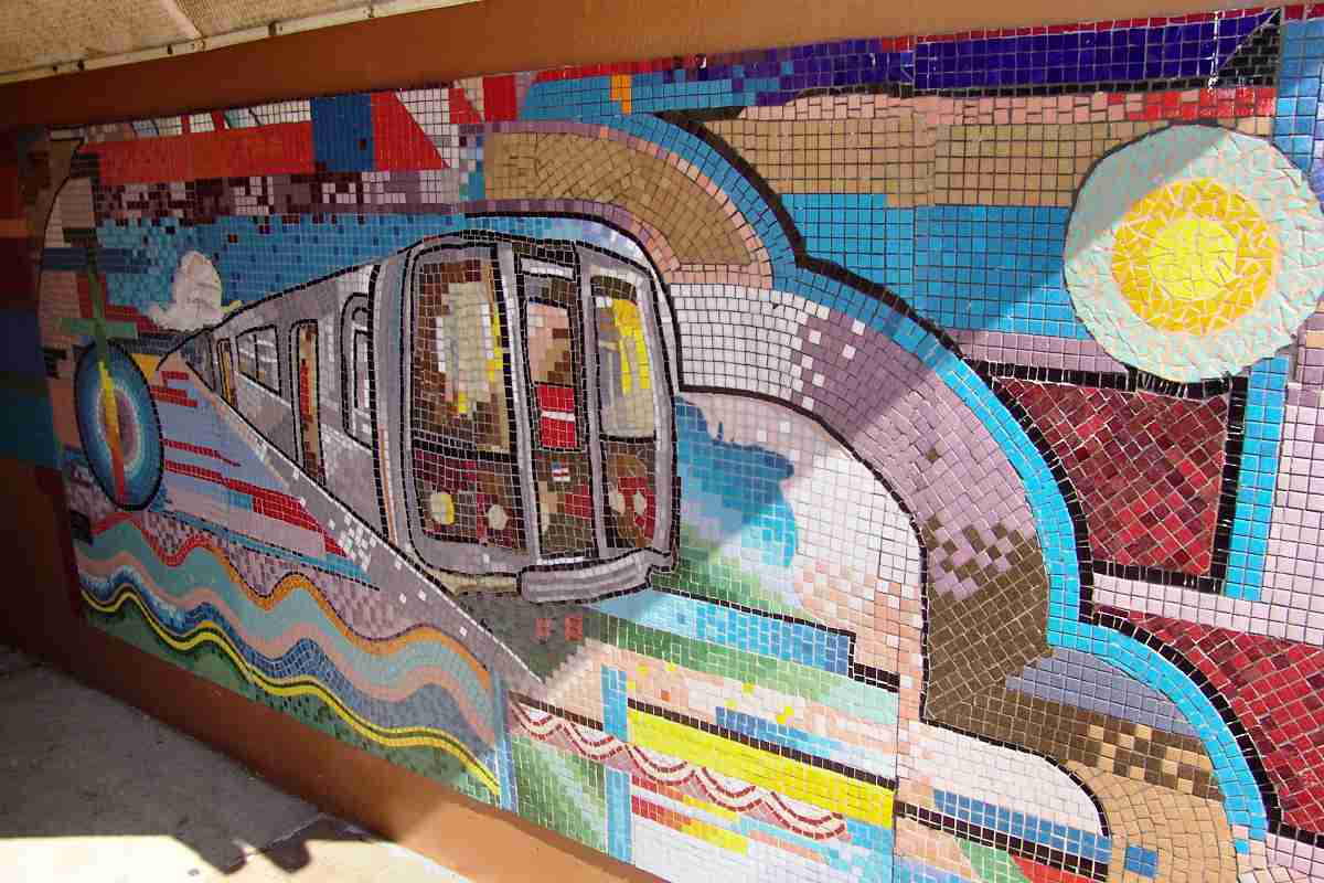
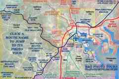
Washington, DC's public transit system includes several rail lines that spoke
outward from downtown to the neighboring Maryland and Virginia suburbs.
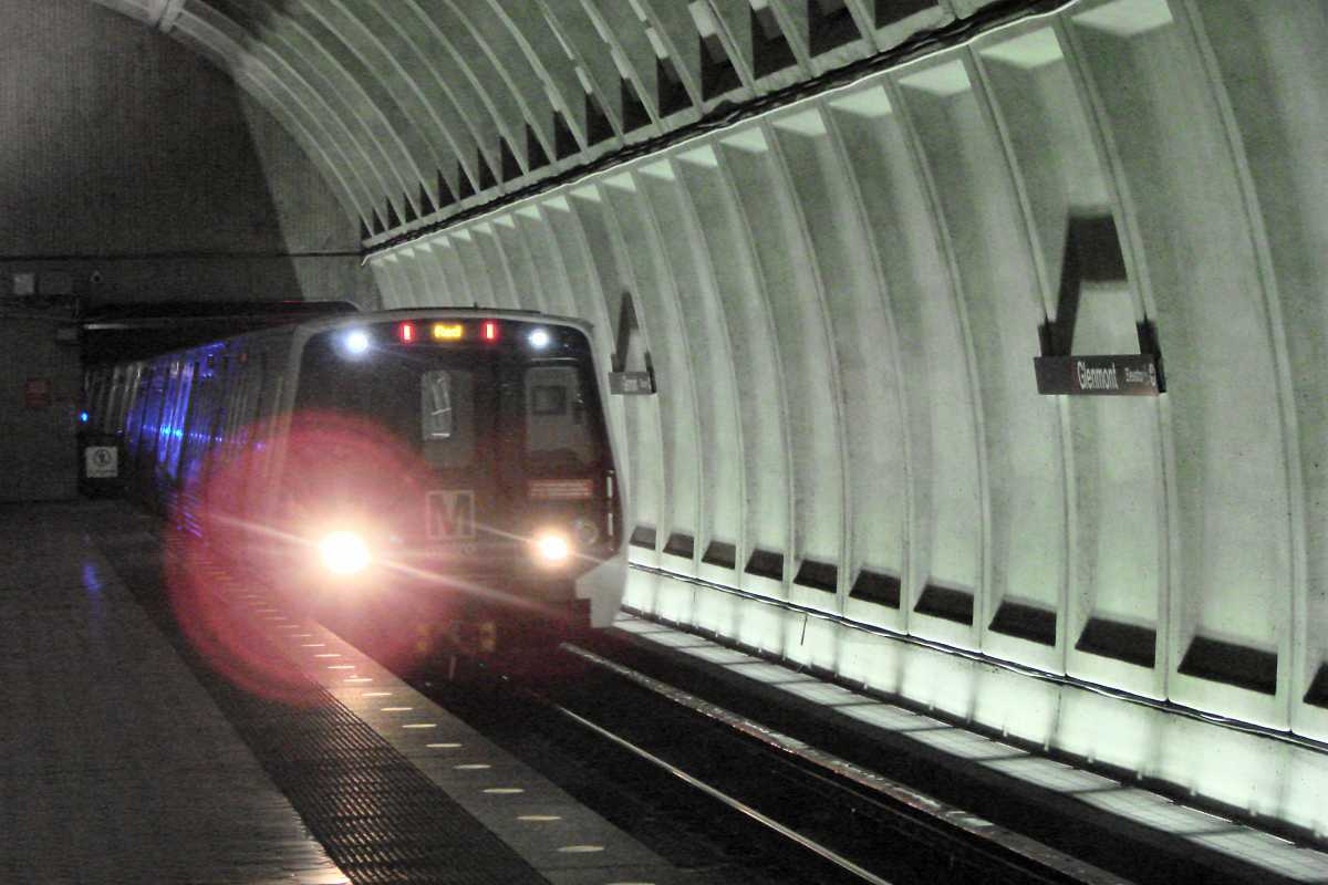
This page illustrates a trip to Washington from Glenmont, one of the Red Line's
two endpoints in Maryland. A portion of the Red Line, whose route forms the
shape of the letter U, was the first of the system to open. As of this writing,
Red Line trains stop at 27 stations.
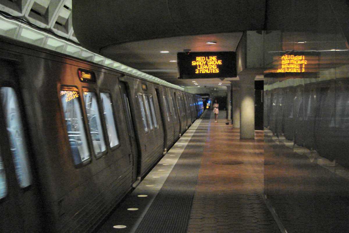
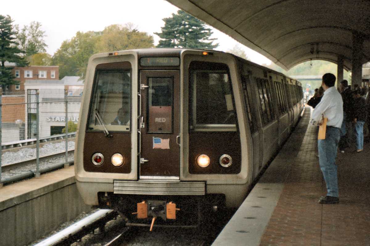
Since Glenmont is the end of the line, one train is usually
waiting to depart. Signage tells how soon departure will occur and
reminds of the train's ultimate destination. Shady Grove is the
Red Line's northwestern terminus and one of the system's busiest
stations.
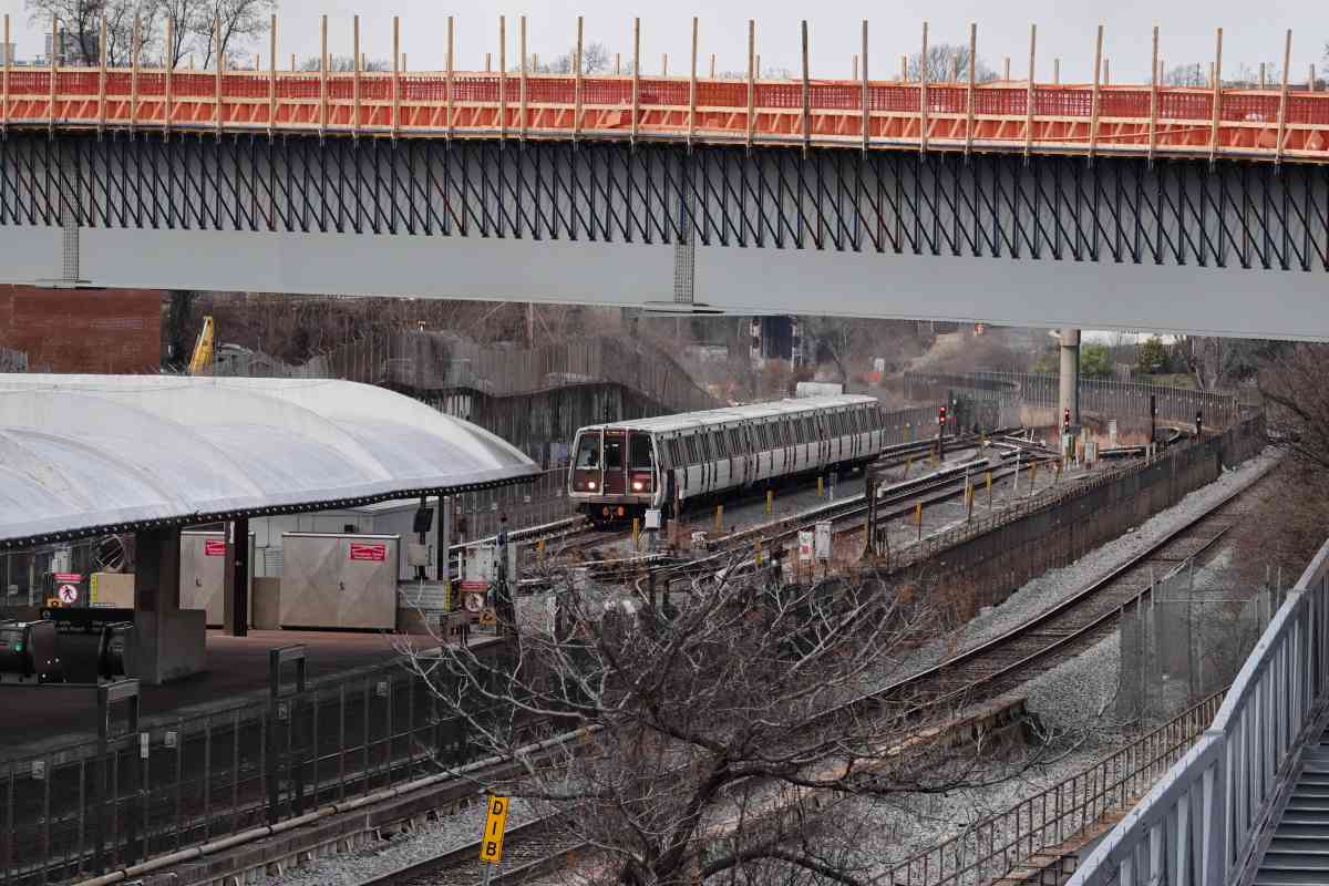
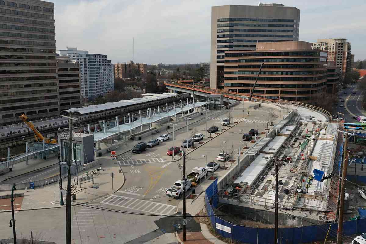
This southbound train has recently risen from underground to stop
at Silver Spring's station, seen at left. An overpass for the
Purple Line is under construction above.
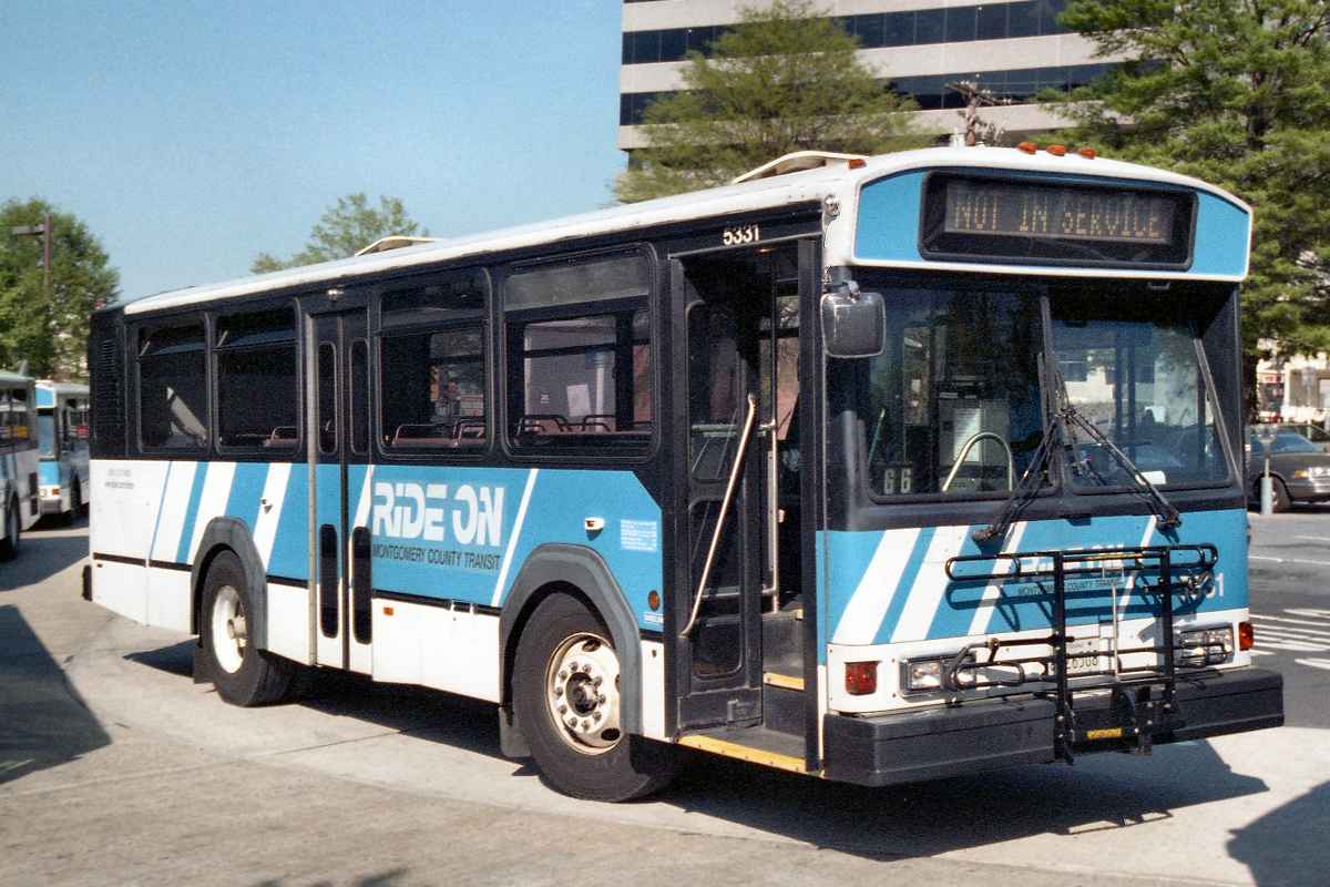
Busfans tell me MCDOT 5331 is a Gillig Phantom 30'. "Ride-On"
service in Montgomery County began during 1975. "Right on" was
still a popular phrase when the system was planned circa 1970.
The first routes served Silver Spring.
The county council voted in 2025 to eliminate passenger fares
from Ride On service.
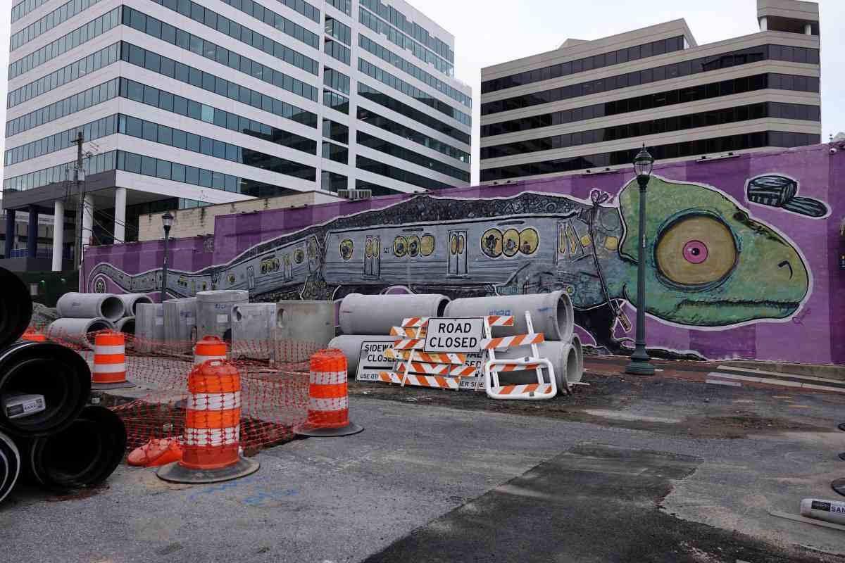
Penguin Rush Hour, a 100 foot-long mural painted by Sally Callmer, previously graced
a wall under the station but was removed during 2005 for eventual restoration at the Paul
Sarbanes Transit Center.
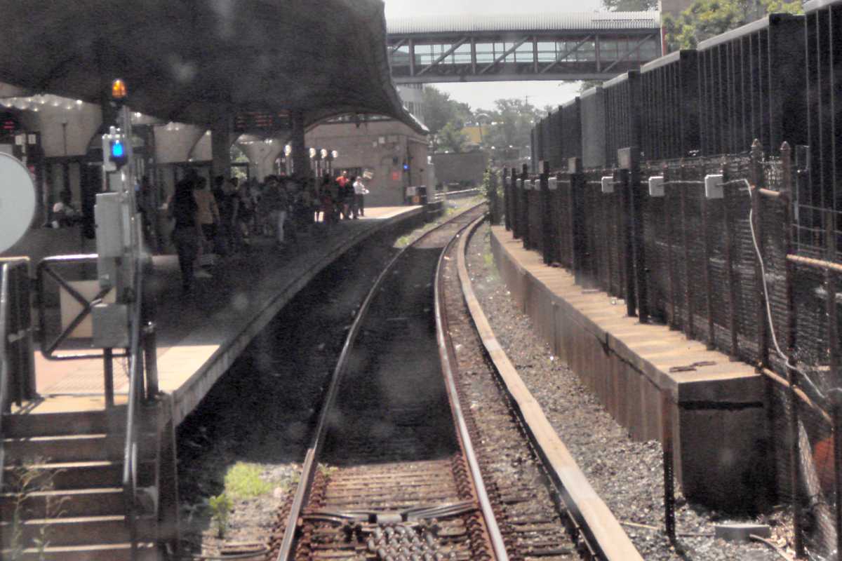
A Red Line train pauses at Metro's Silver Spring station at left.
At photo time, the off-again on-again Purple Line project was weaving
its way through town. Wayne Avenue and Ramsey Avenue meet
Colesville Road at the right edge.
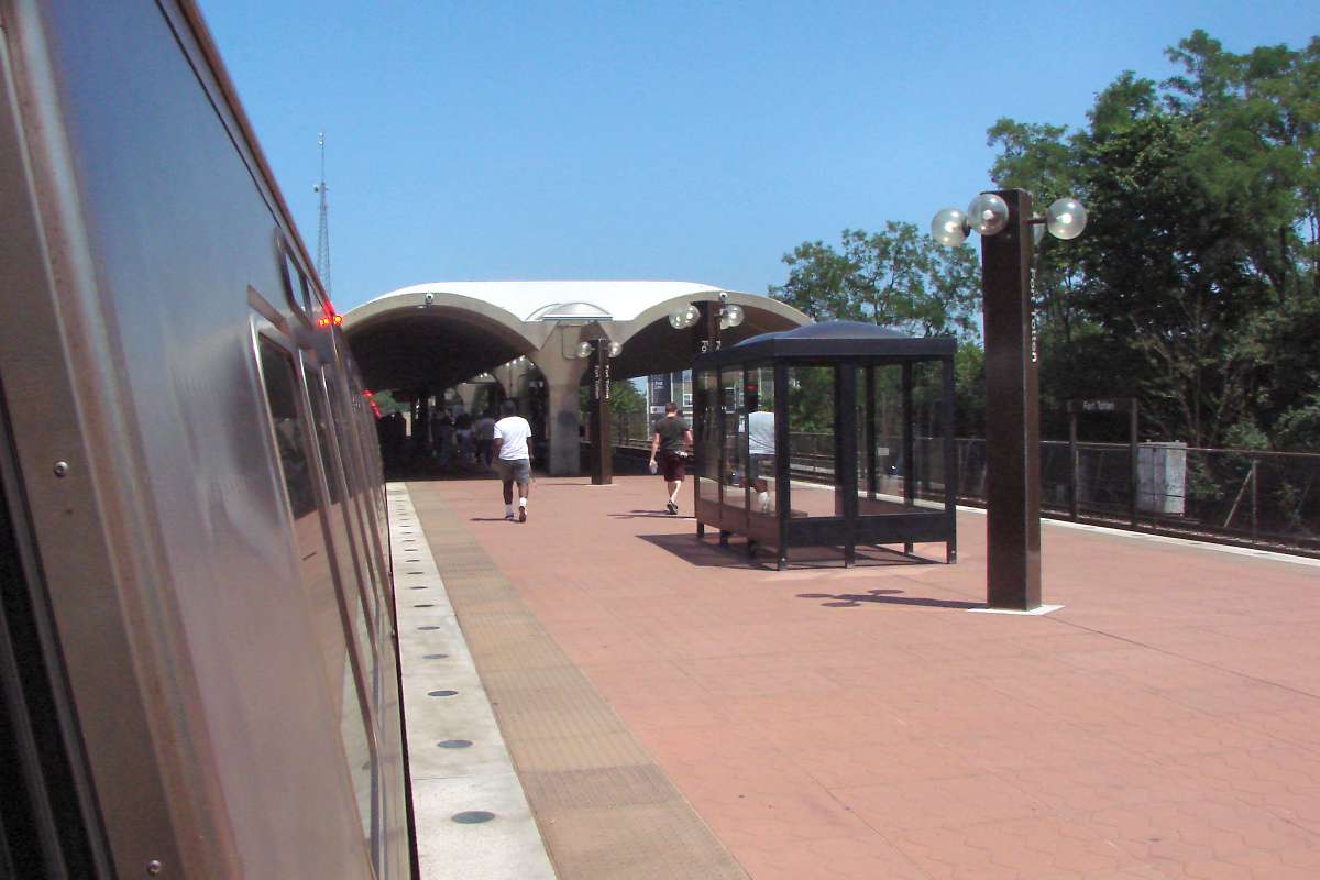
Rhode Island Avenue Station was part of the first group of Metro
stations to open. As of opening day in March 1976, it served
as a terminal. It is the Metro station with the highest elevation
above surrounding ground level.
A trolley ran along Rhode Island Avenue below until about
20 years prior to Metro's opening.
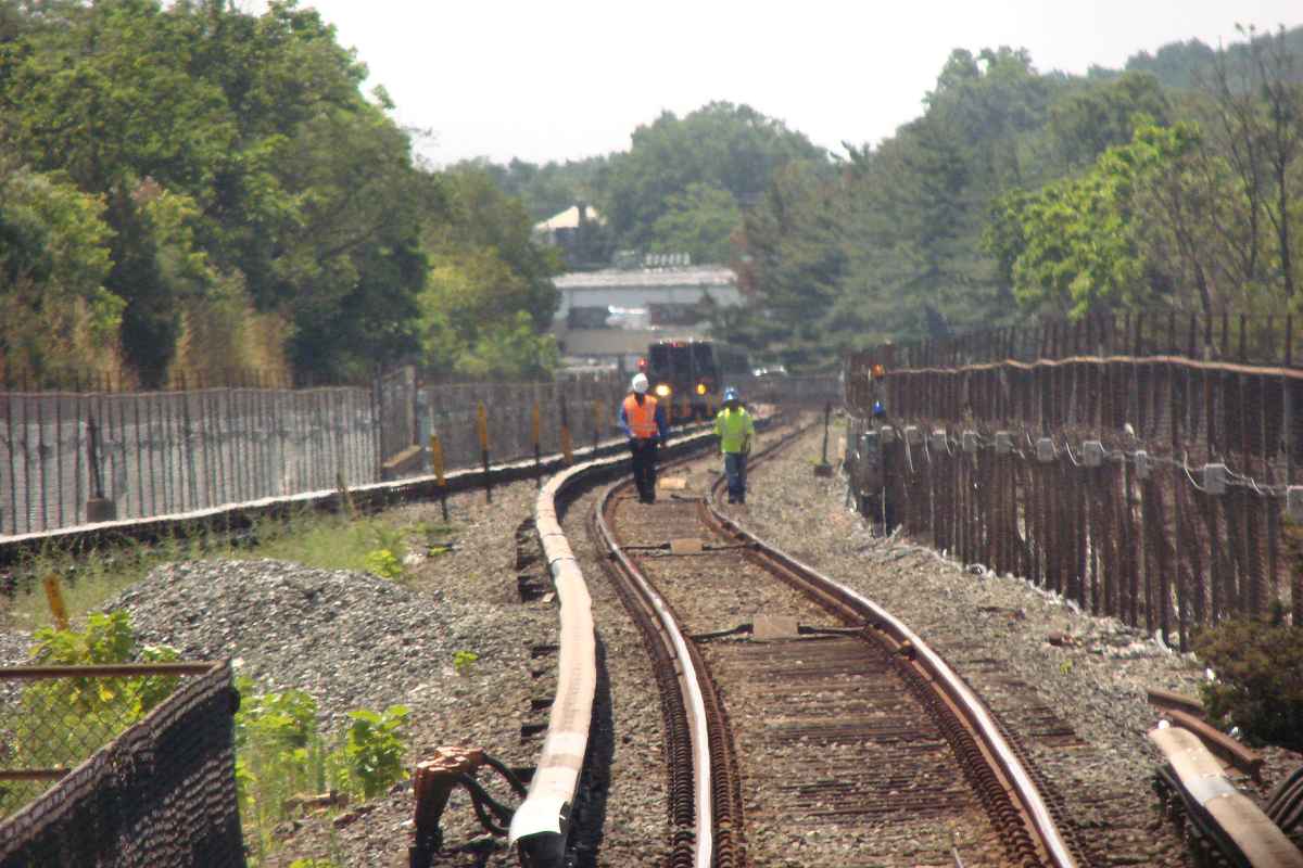
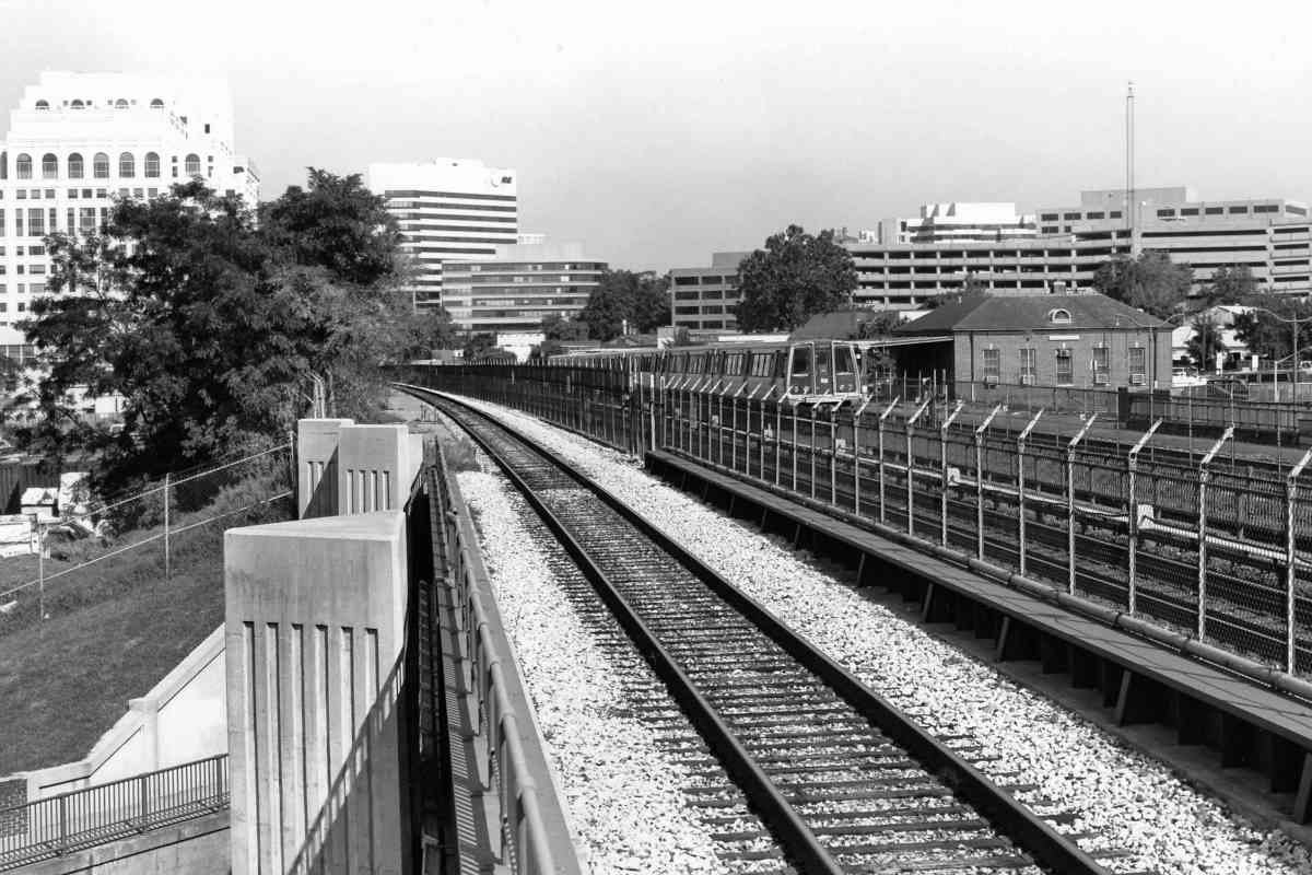
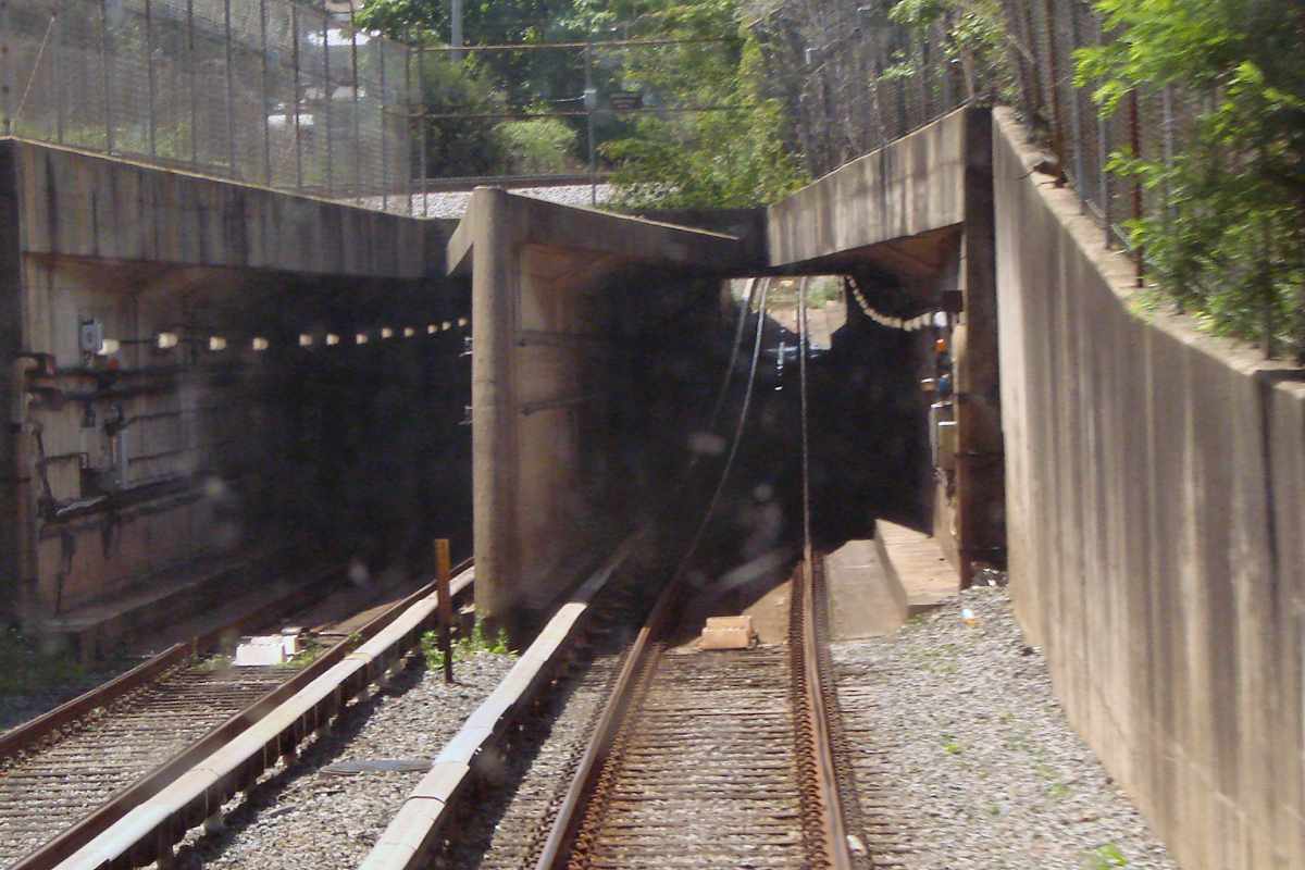
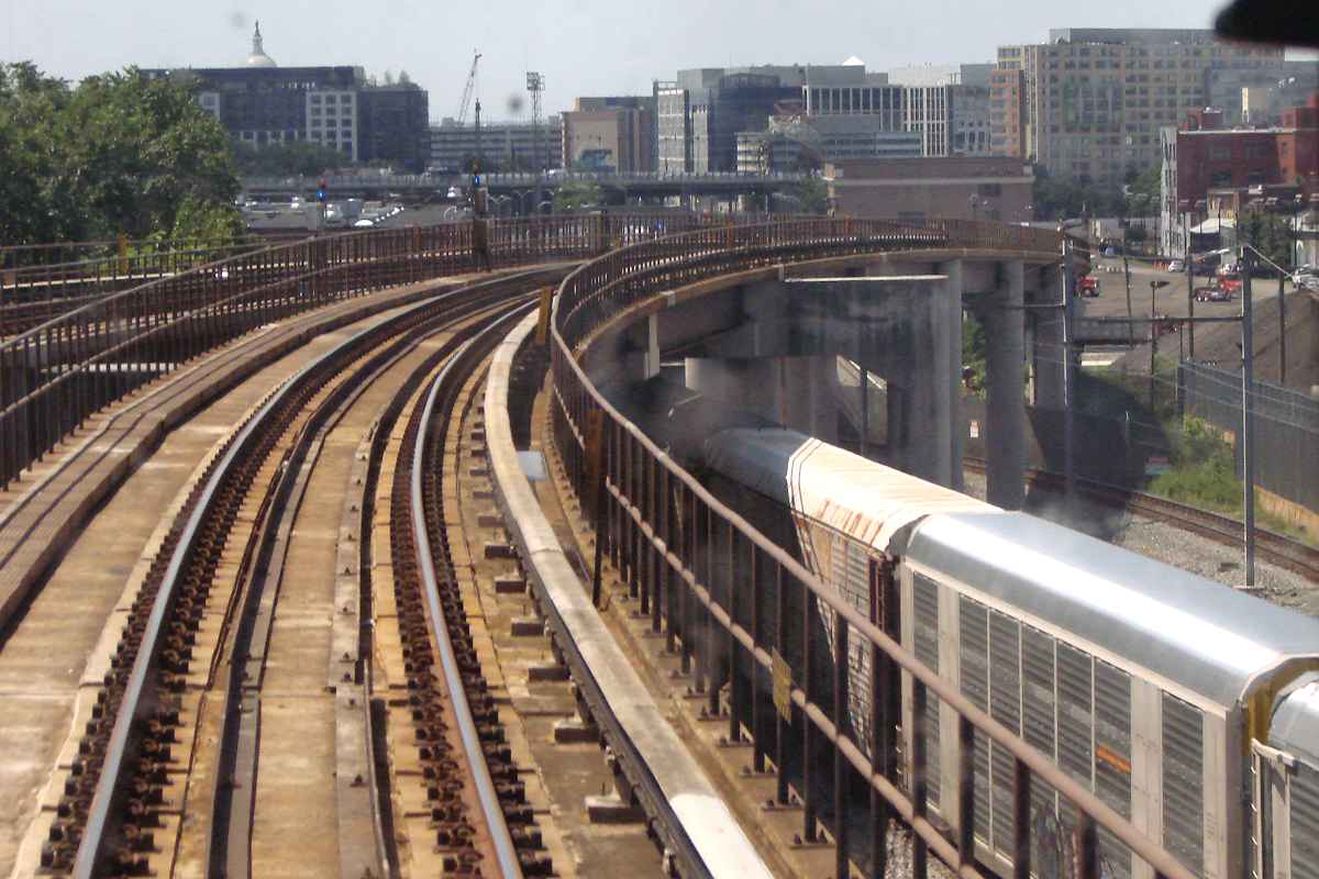
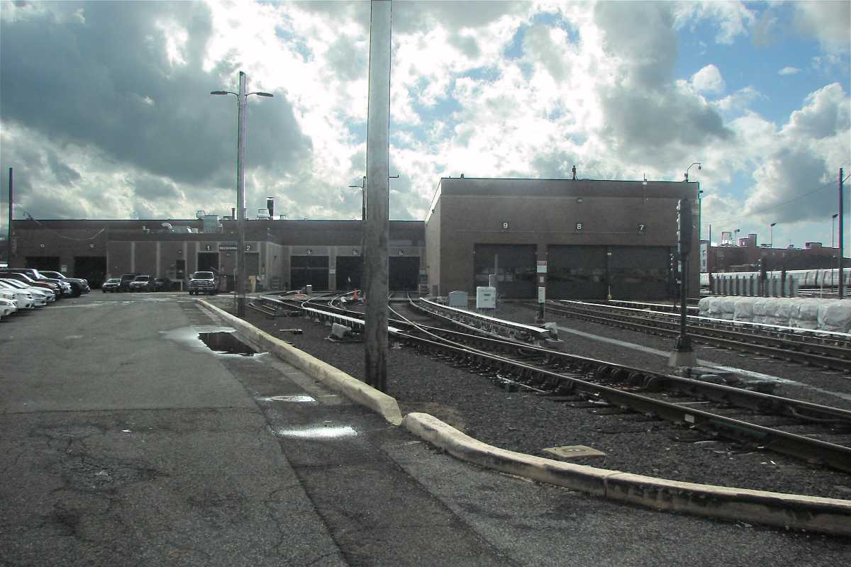
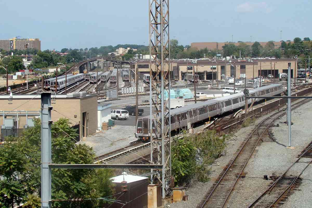
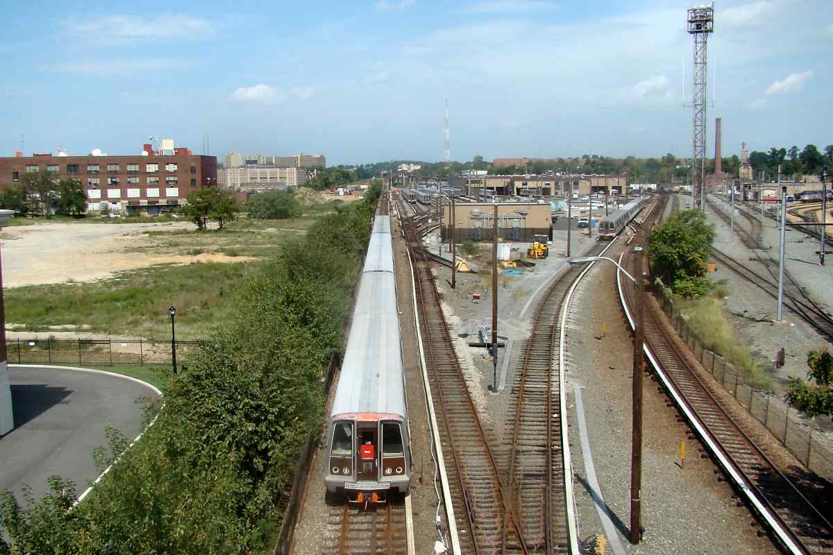
Northbound and southbound Red Line trains get their own elevated routes
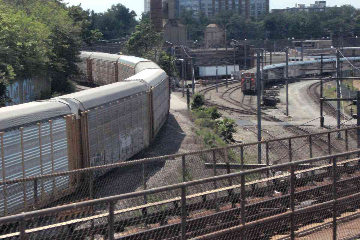
that surround Metro's Brentwood Yard facilities ahead.
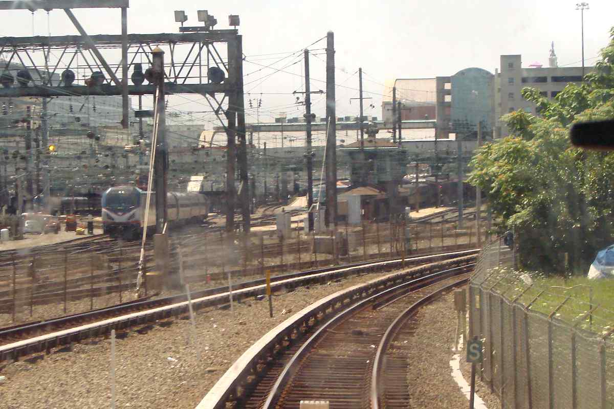
The two rusty tracks below connect CSX's Metropolitan Subdivision
with Ivy City Yard.
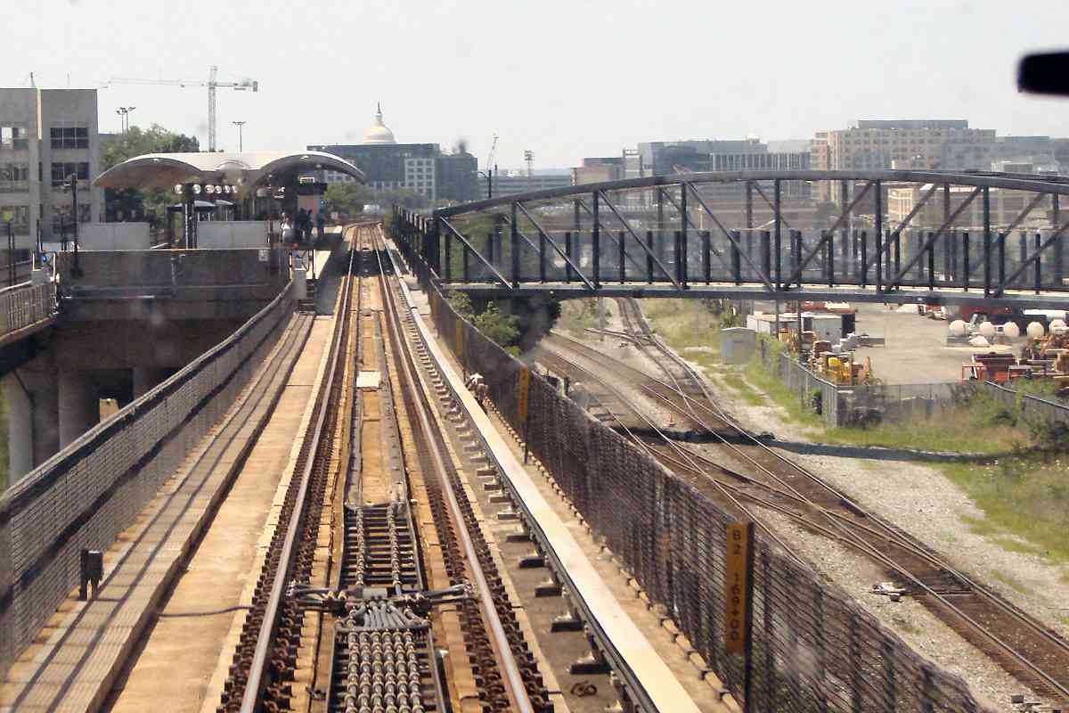
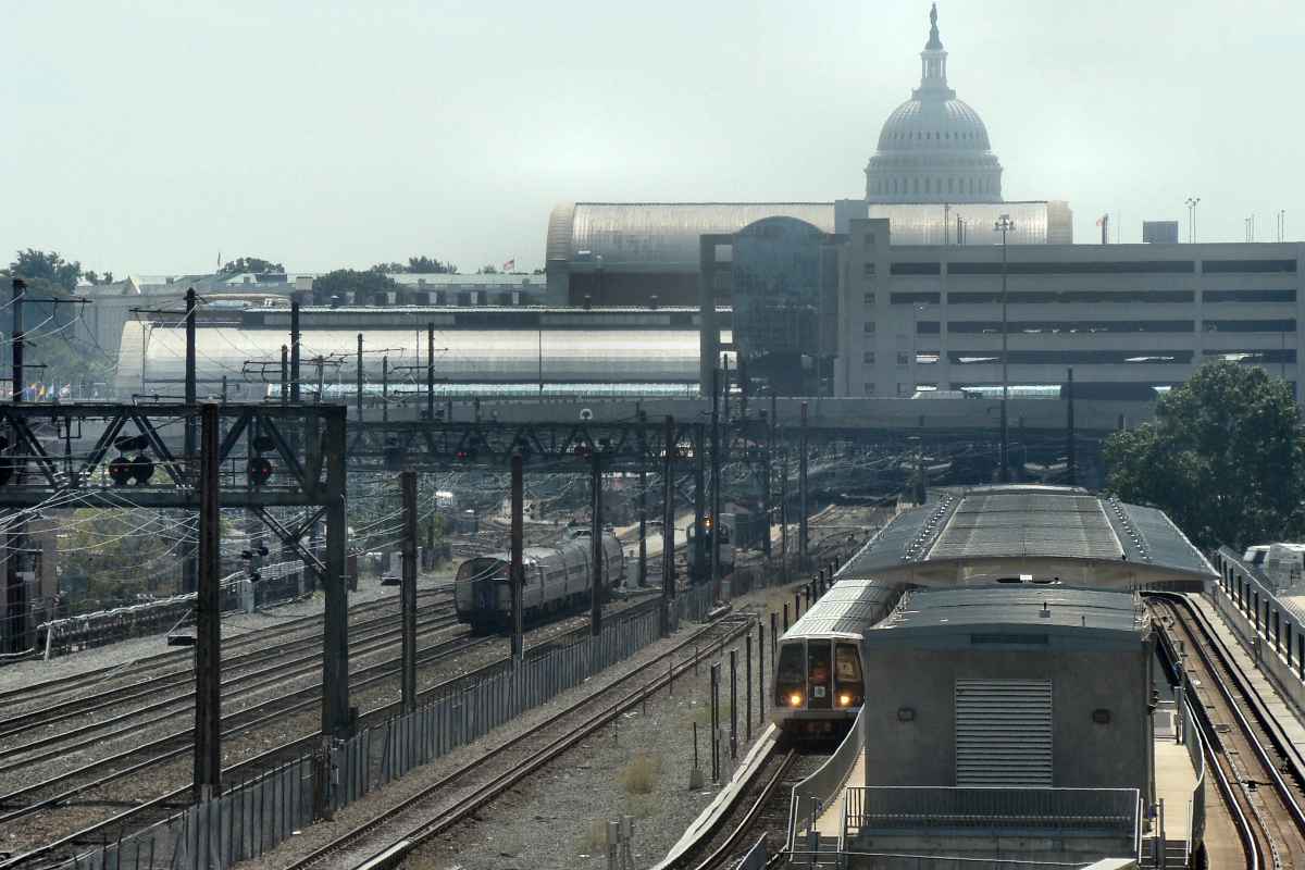
Looking the opposite direction from New York Avenue yields a
view of the Capitol building. Closer is the NoMa Galludet U
stop, Metro's first infill station. It opened in 2004.
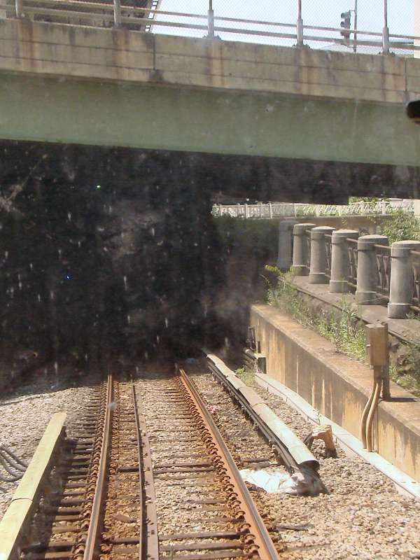
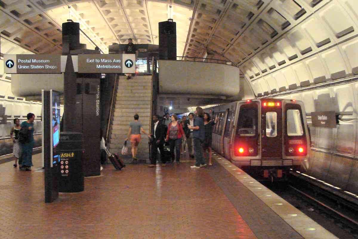
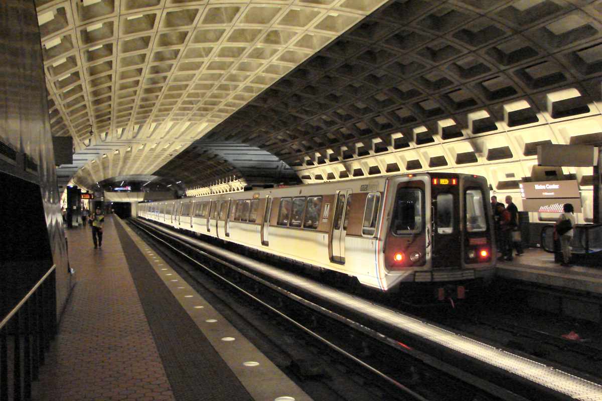
... and then arrive at Union Station, the system's busiest stop.
Amtrak, MARC and Virginia Railway Express also stop here.
Despite all the activity, only one of Metro's six lines serves
Union Station.
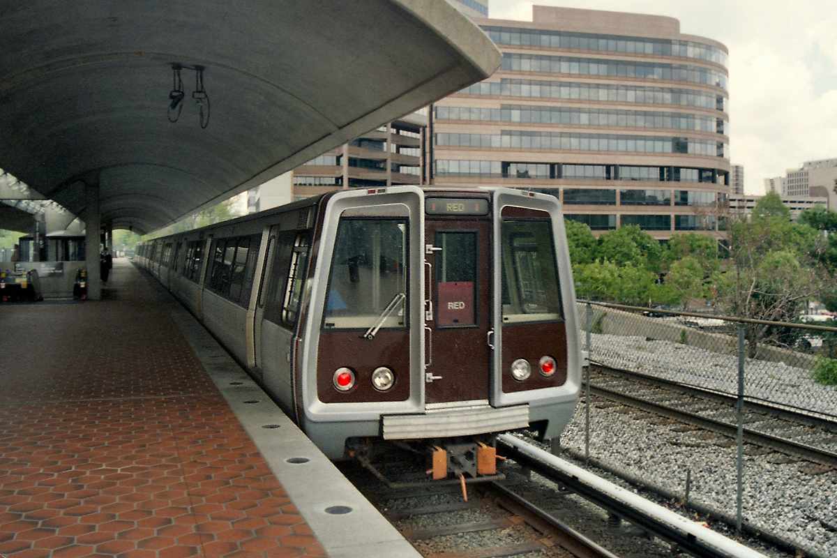
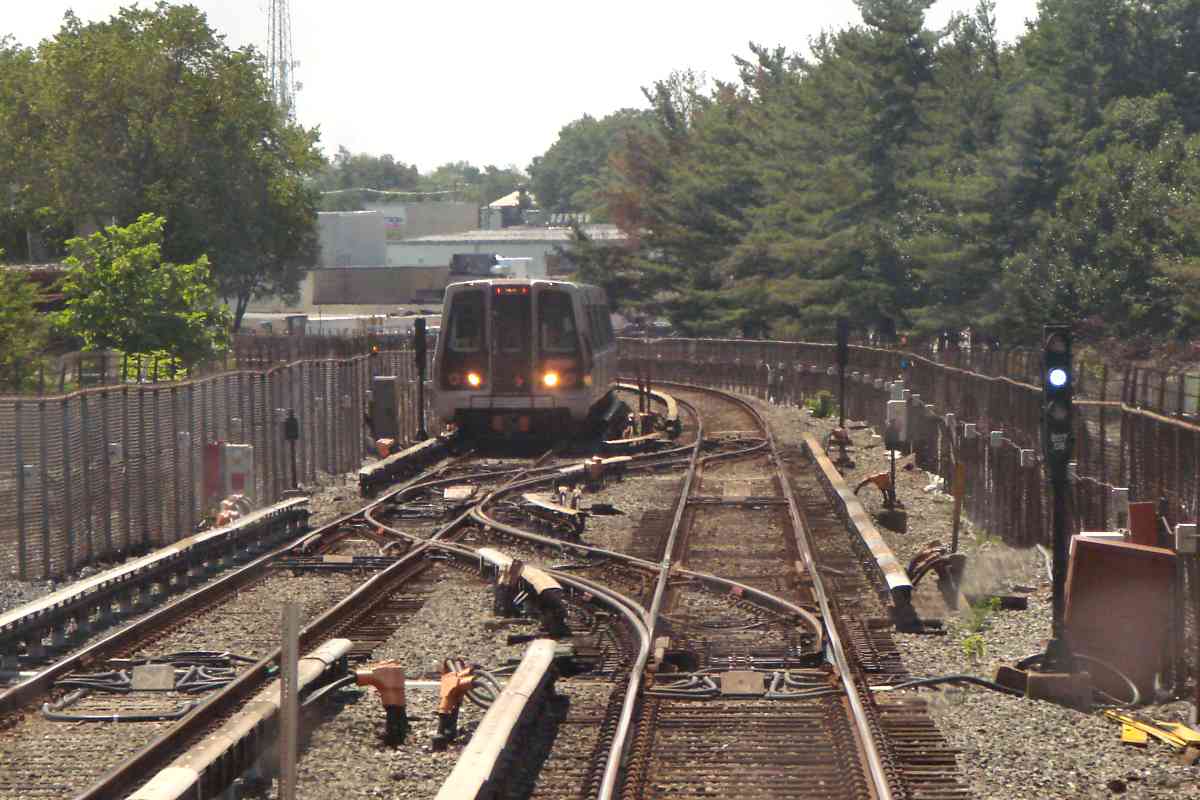
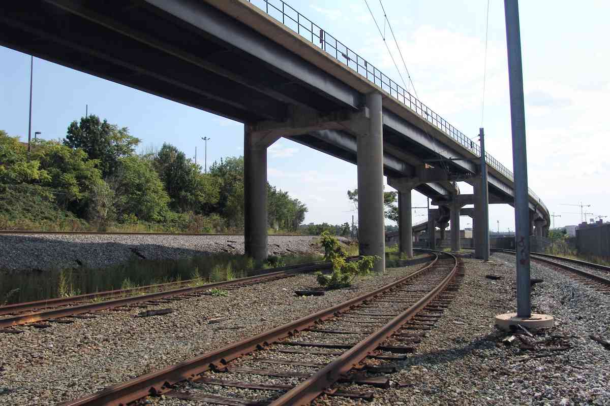
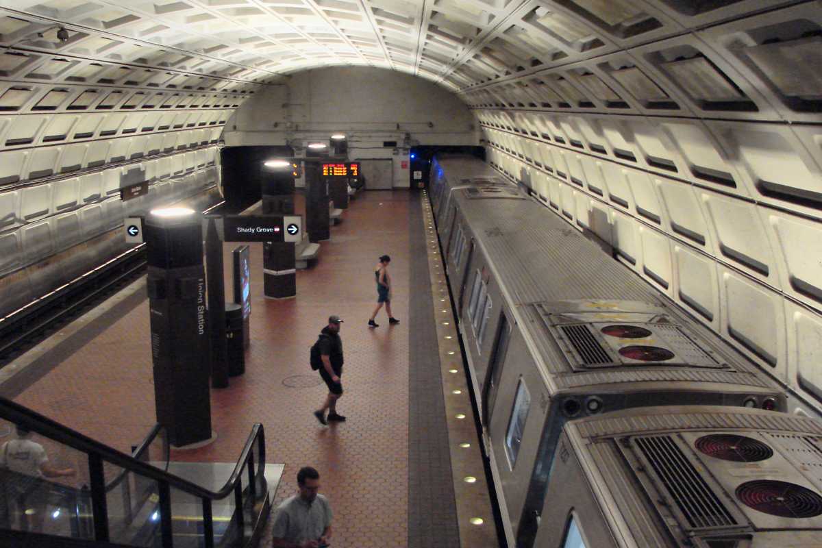
This train is bound for Shady Grove, Maryland, the Red Line's
northwestern terminus. The 12-mile-long Red Line was the system's
longest for decades until the Silver Line's Phase 2 extension to
Dulles Airport opened during 2022.