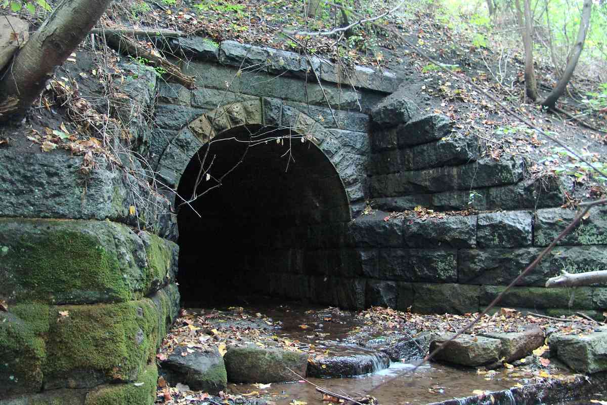
Click a photo to see a larger view. Please send your comments and corrections to Steve.
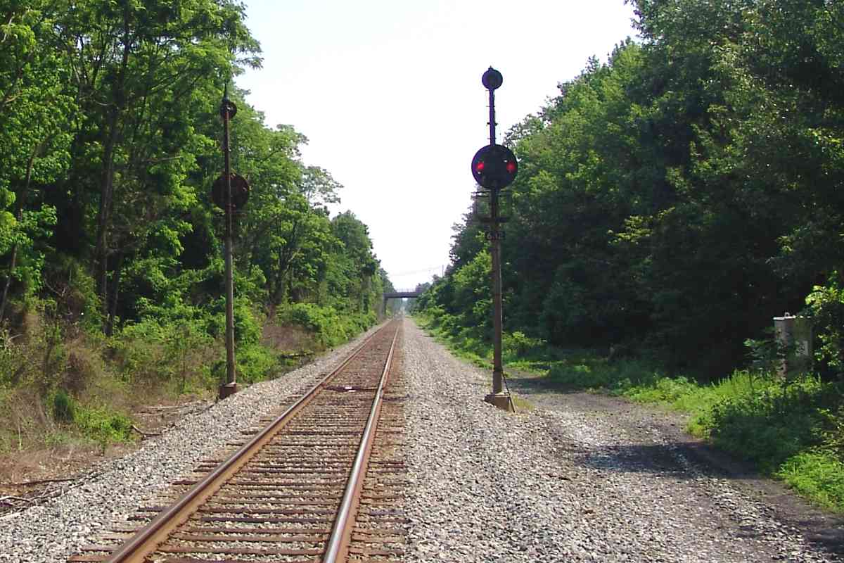
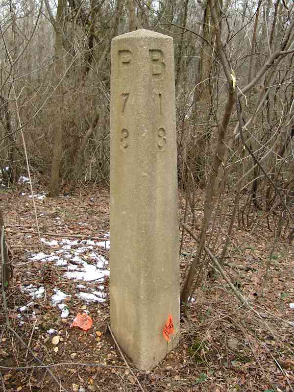
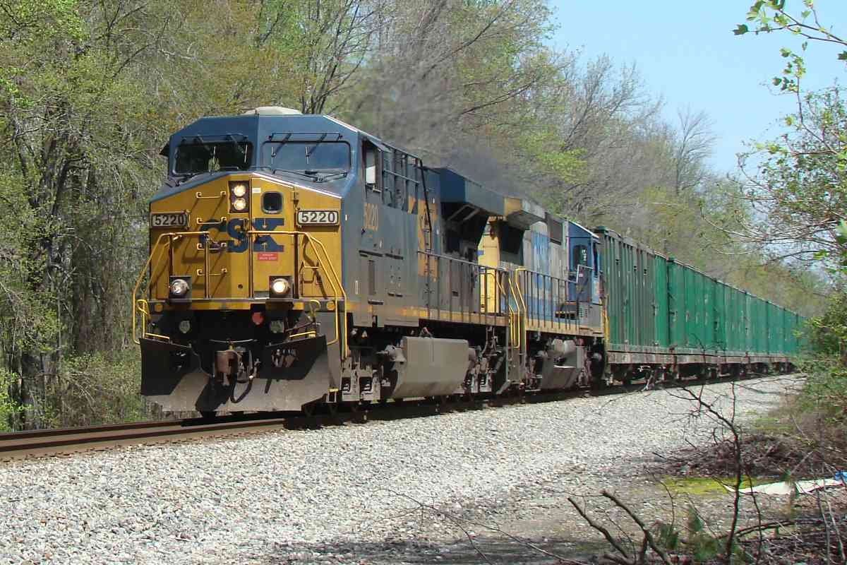
Photo courtesy Dave Hiteshew |
| |||||||||||
| ||||||||||||
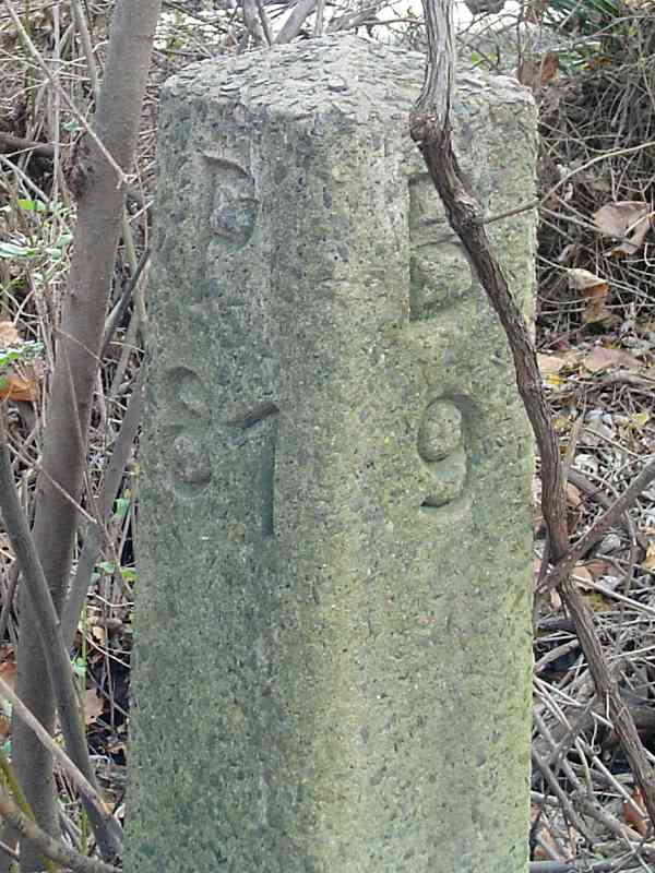
Photos courtesy Dave Hiteshew |
| |||||||||||
| ||||||||||||
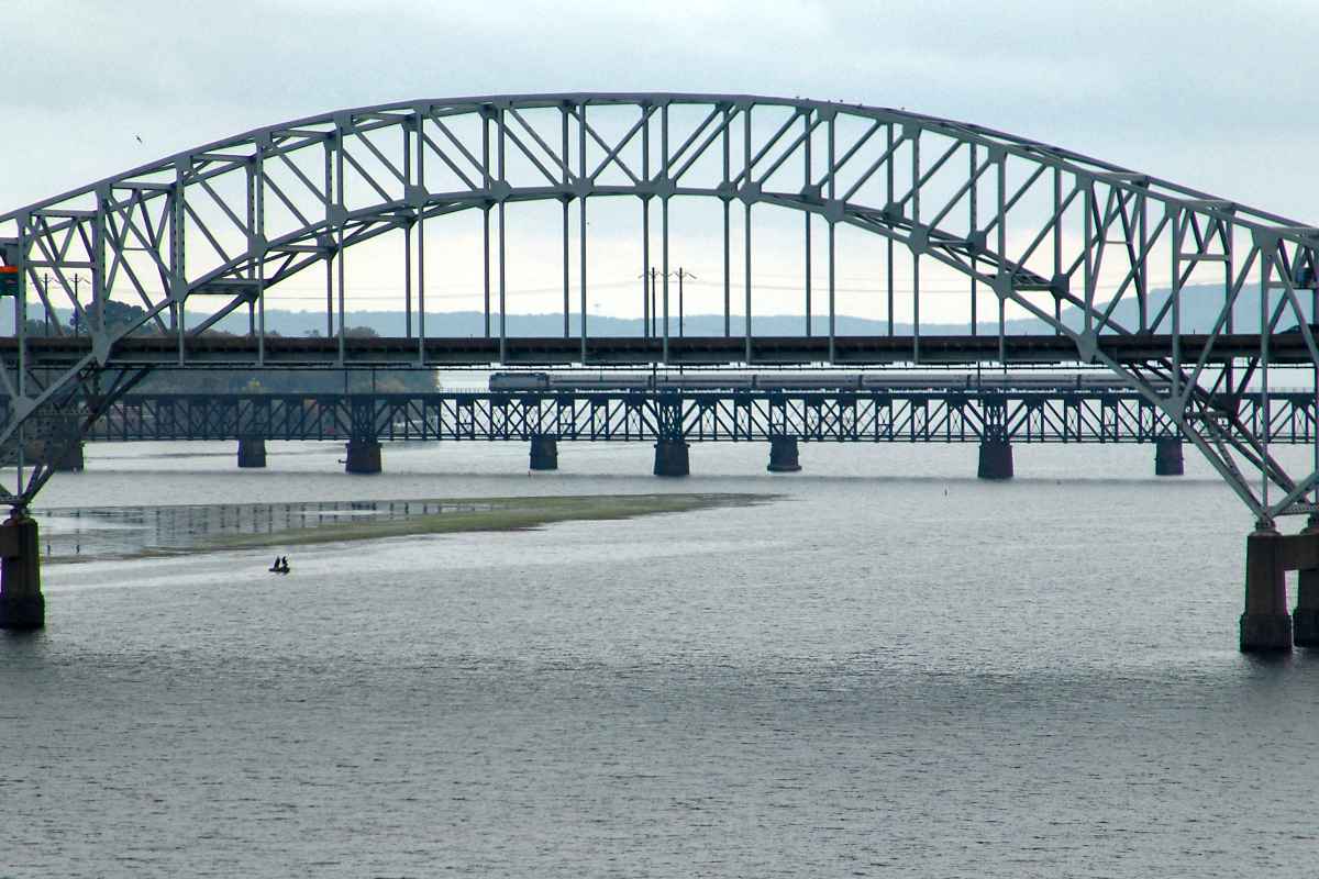
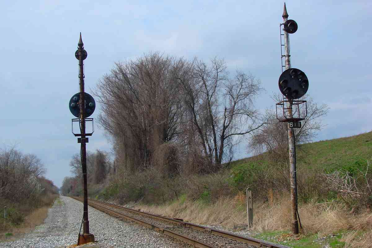
Photo courtesy Dave Hiteshew |
| |||||||||||
| ||||||||||||
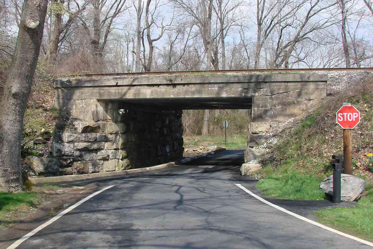
Photo courtesy Dave Hiteshew |
| |||||||||||
| ||||||||||||
Photo courtesy Dave Hiteshew |
| |||||||||||
| ||||||||||||
Photos courtesy Dave Hiteshew |
| |||||||||||
| ||||||||||||
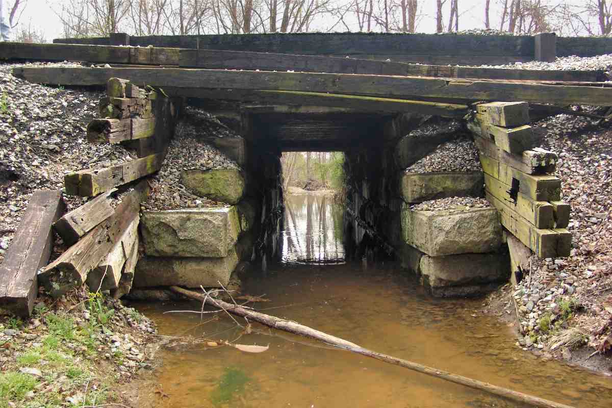
Photo courtesy Dave Hiteshew |
| |||||||||||
| ||||||||||||
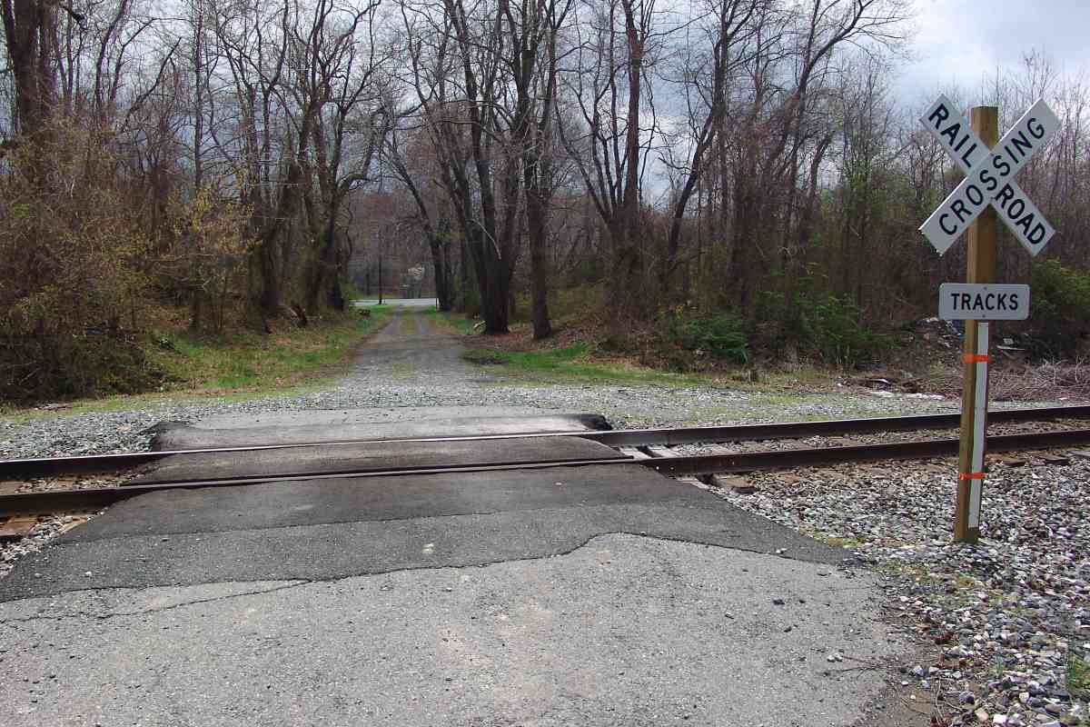
Photo courtesy Dave Hiteshew |
| |||||||||||
| ||||||||||||
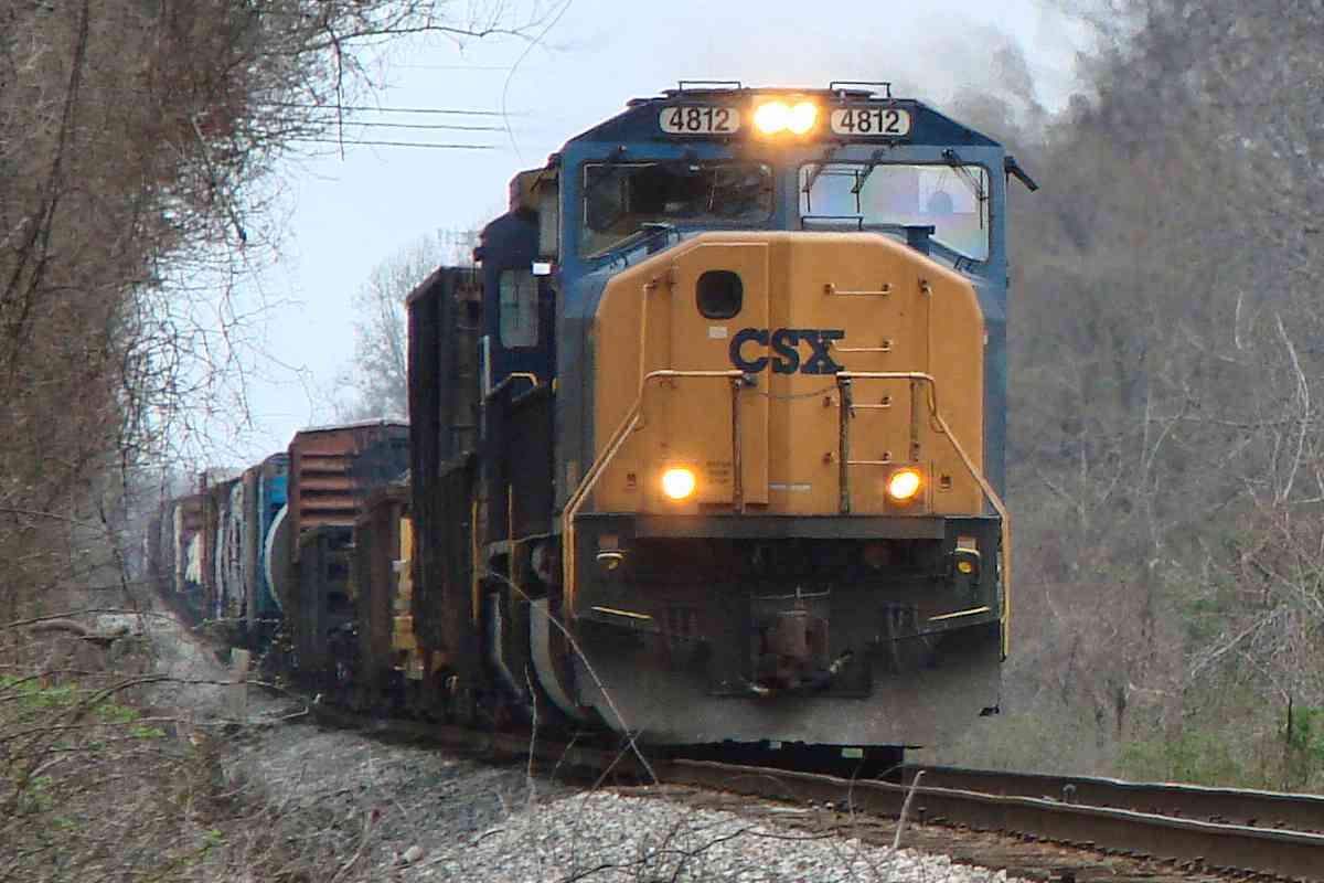
Photo courtesy Dave Hiteshew |
| |||||||||||
| ||||||||||||
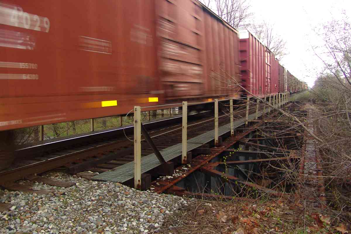
Photo courtesy Dave Hiteshew |
| |||||||||||
| ||||||||||||
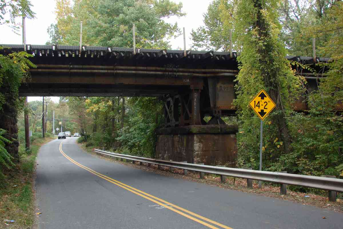
Photo courtesy Dave Hiteshew |
| |||||||||||
| ||||||||||||
Photos courtesy Dave Hiteshew |
| |||||||||||
| ||||||||||||
Photos courtesy Dave Hiteshew |
| |||||||||||
| ||||||||||||
Photo courtesy Dave Hiteshew |
| |||||||||||
| ||||||||||||
Photo courtesy Dave Hiteshew |
| |||||||||||
| ||||||||||||
Photo courtesy Dave Hiteshew |
| |||||||||||
| ||||||||||||
Photo courtesy Dave Hiteshew |
| |||||||||||
| ||||||||||||
Photos courtesy Dave Hiteshew |
| |||||||||||
| ||||||||||||
Photo courtesy Dave Hiteshew |
| |||||||||||
| ||||||||||||
Photo courtesy Dave Hiteshew |
| |||||||||||
| ||||||||||||
Photo courtesy Dave Hiteshew |
| |||||||||||
| ||||||||||||
Photos courtesy Dave Hiteshew |
| |||||||||||
| ||||||||||||
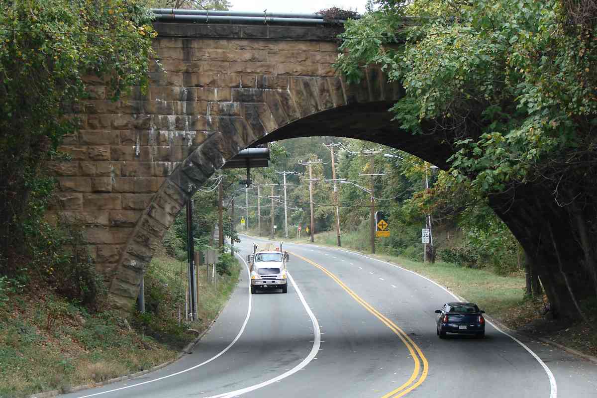
Photo courtesy Dave Hiteshew |
| |||||||||||
| ||||||||||||
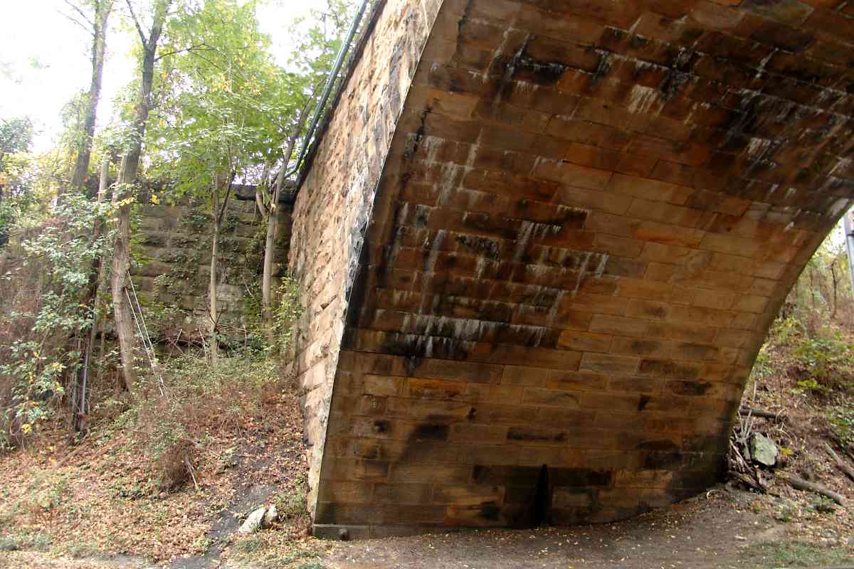
Photo courtesy Dave Hiteshew |
| |||||||||||
| ||||||||||||
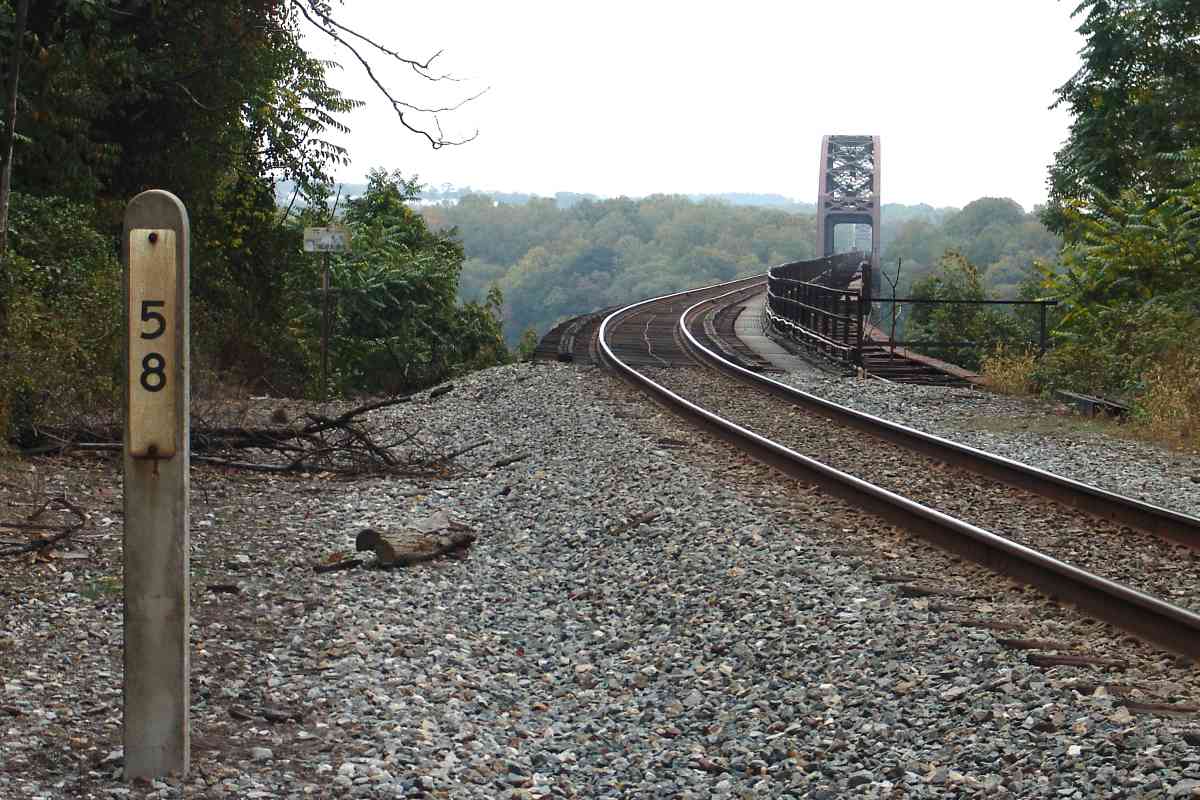
Photo courtesy Dave Hiteshew |
| |||||||||||
| ||||||||||||
Photos courtesy Dave Hiteshew |
| |||||||||||
| ||||||||||||
Photo courtesy Dave Hiteshew |
| |||||||||||
| ||||||||||||
Though this tour ends here, you can return southwest via the PRR/Amtrak Northeast Corridor.
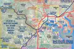
For more tours here now, select from the map:
Or, return to main page
Copyright Notice