Click a photo to see a larger view. Please send your comments and
corrections to Steve.
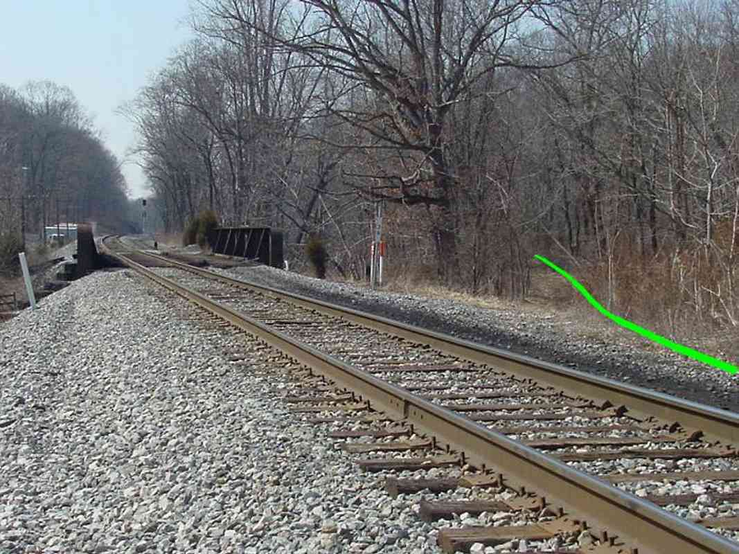
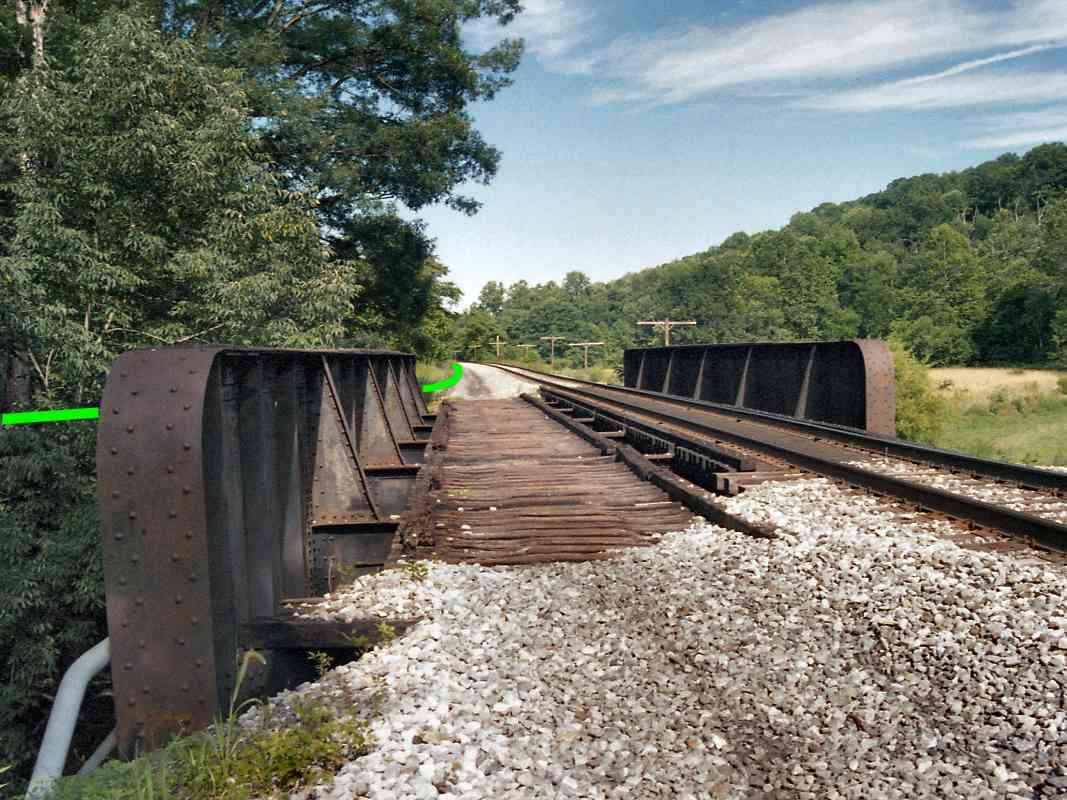
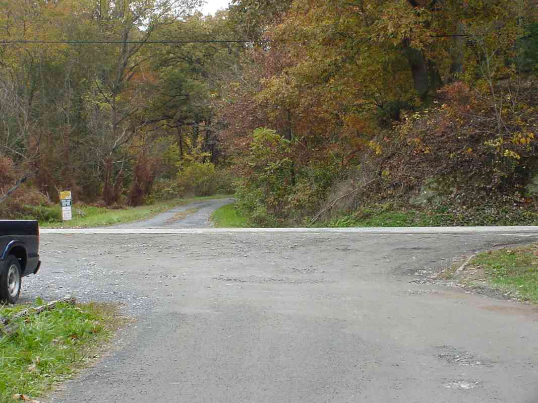
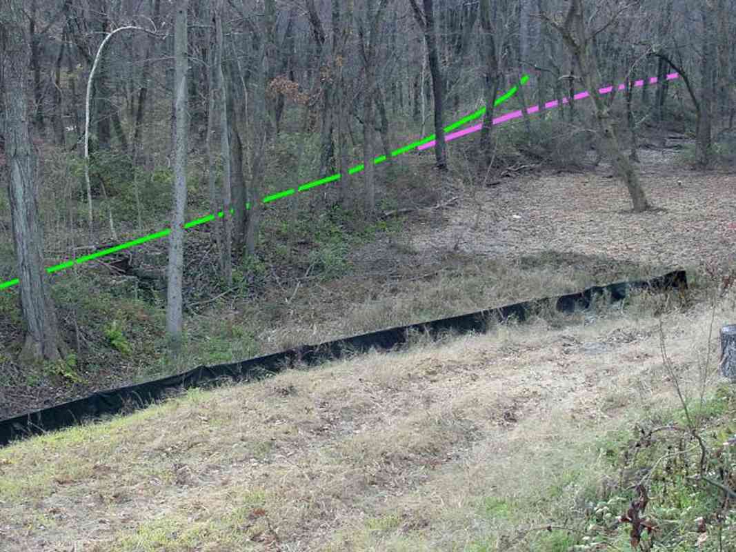
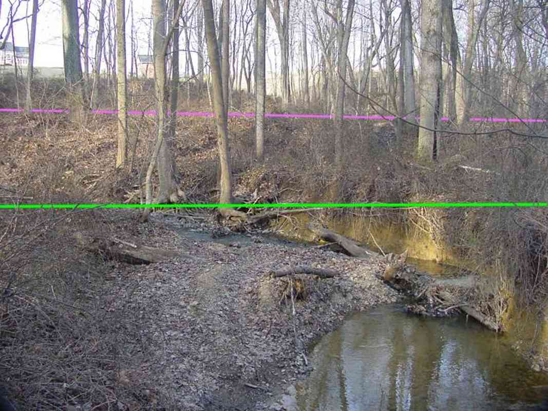
This series of tour pages traces B&O's original 1831 alignment through
the Mt. Airy, Maryland vicinity. What makes this alignment interesting
is that it had employed four inclined planes to scale Parrs Ridge.
At each plane, horses and perhaps steam winches were attached to
pull the primitive trains up the steep hills.
The inclined planes quickly proved themselves to be a bottleneck as well
as dangerous, and by 1839 B&O had surveyed and built the
alternate route known as the Mt. Airy Loop.
I've broken the inclined plane pages out from the rest of the OML tour
because 1) the route lies parallel to
the OML, and 2) I expect the planes are of interest only to those especially
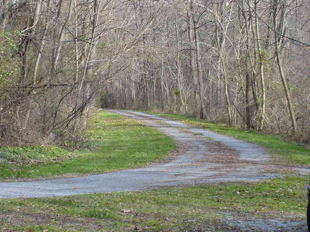
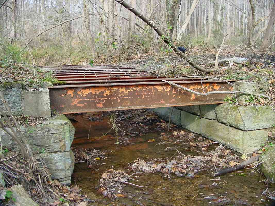
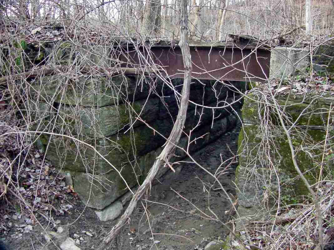
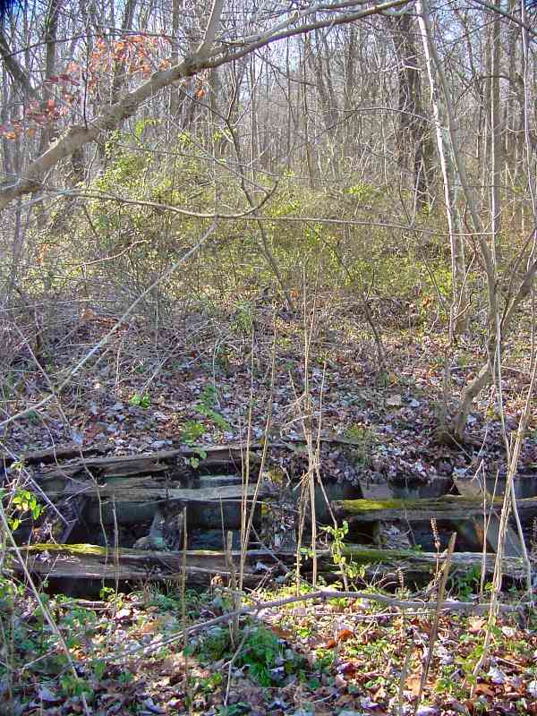
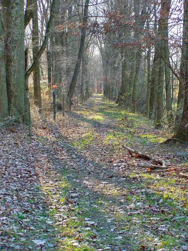
curious about railroad history. There are no trains to be seen, no signals,
no switches, and not even any surviving track. Furthermore, it is no longer
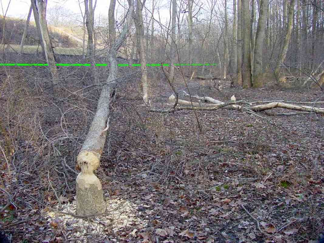
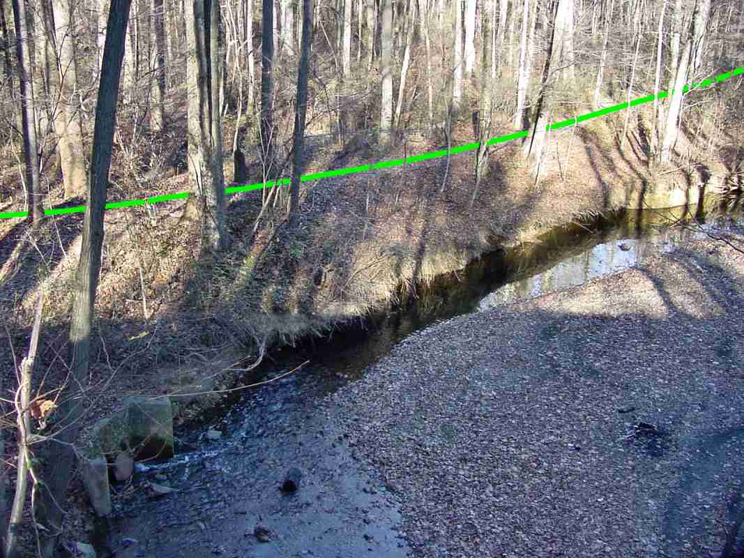
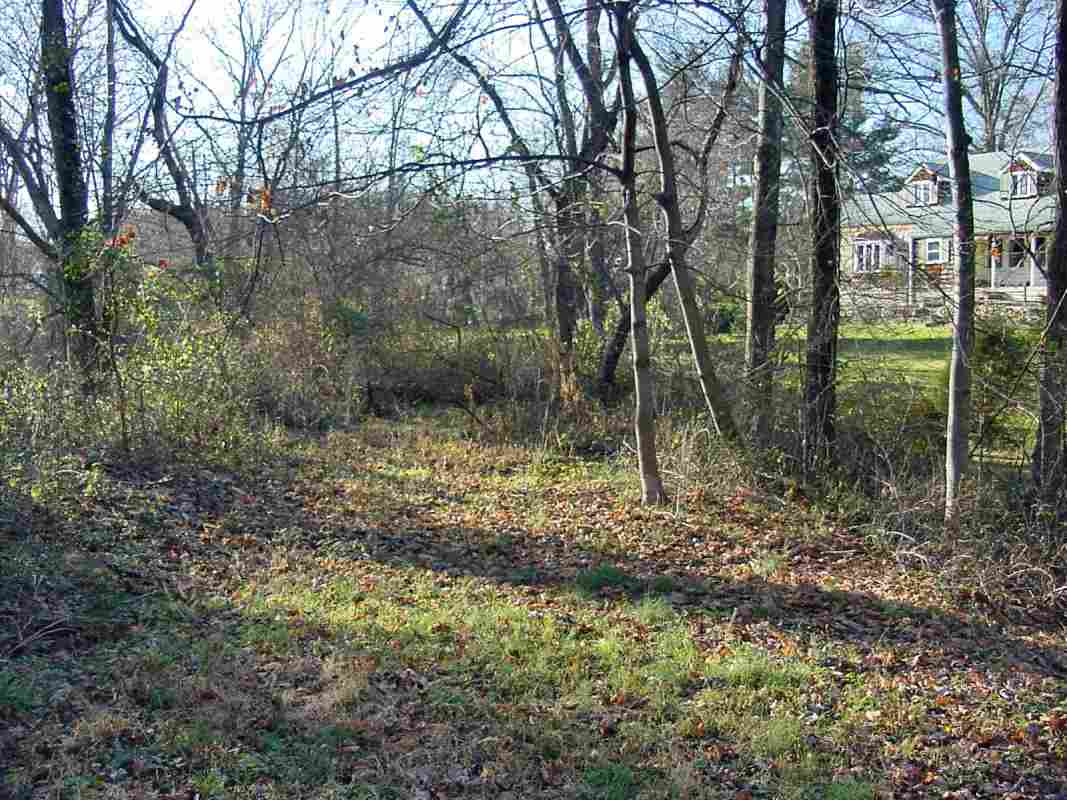
possible to trace the entire route because large sections of it have been
obliterated by subsequent railroad and highway construction; Mother Nature
has done a good job reclaiming the rest.
Conversely, if the idea of tramping through the forest looking for centuries-old
railroad artifacts, while never knowing exactly what you'll find, appeals,
then you may enjoy this tour. Plenty of historical details are contained
within the text below as we progress from east to west.