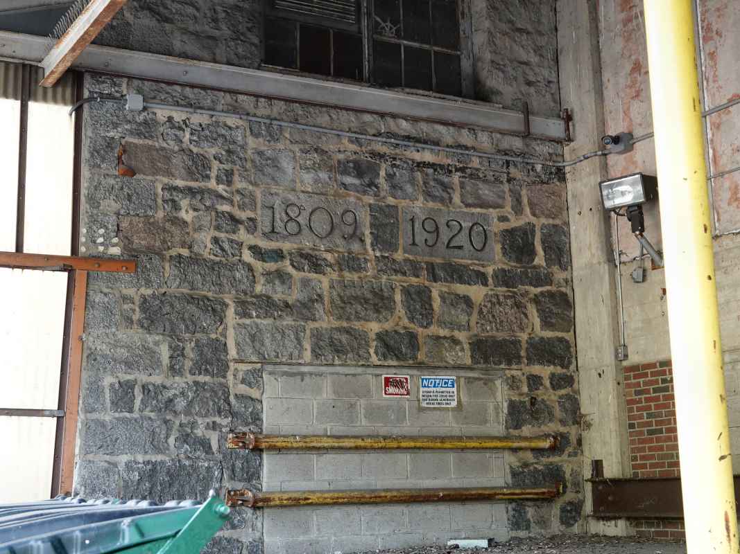
|
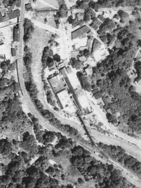
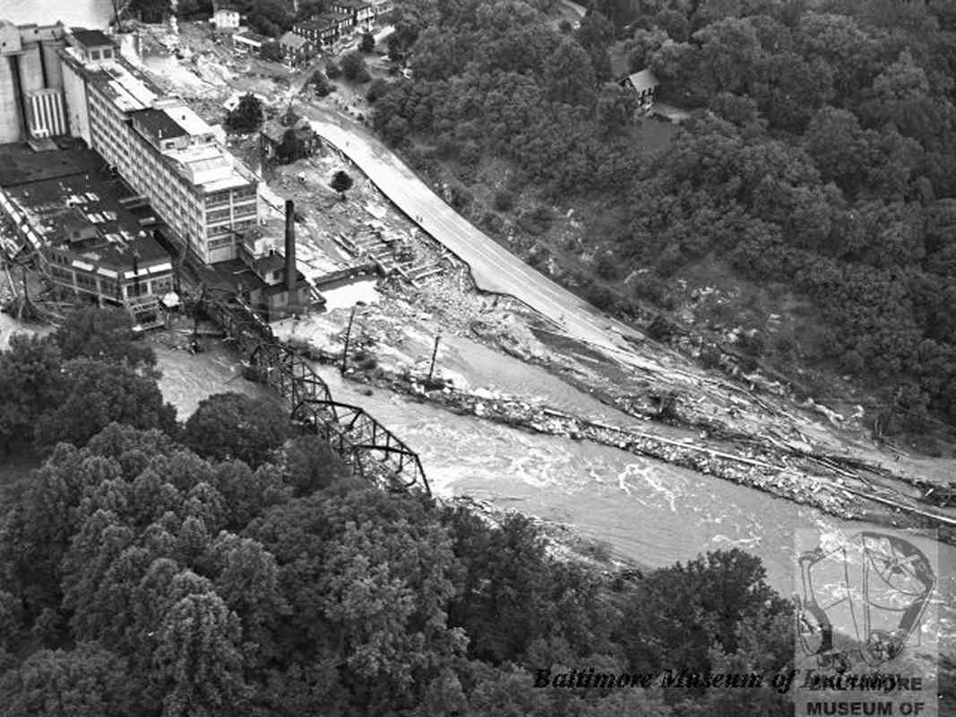
We're looking down into Ellicott City from a plane in 1952. The
view centers on the flour mill that had operated under various
owners since the 1770s.
The Patapsco River flows around the mill and under a B&O bridge
(dark \ line) to the mill where railcars are visible.
Upstream (top) are bridges for Frederick Road (Main Street, bright line)
and trolley line number 9 (dark dash). B&O's Ellicott City Station
(dark roof with bright dot) is found near upper left.
The Ellicott brothers chose this site for their mill in part
because the land on both sides slopes relatively gradually to the river.
That made it easier for farmers to haul grain here, and for others to
deliver the resulting flour to customers in Baltimore. The Ellicotts
successfully petitioned in 1790 to have the primary road between
Baltimore and Frederick re-routed through their burgeoning town.
Unfortunately, the gradual slope of surrounding land also serves to funnel
large quantities of storm water through the town. Consequently, Ellicott
City has been subjected to repeated flooding, as will be seen below.
|