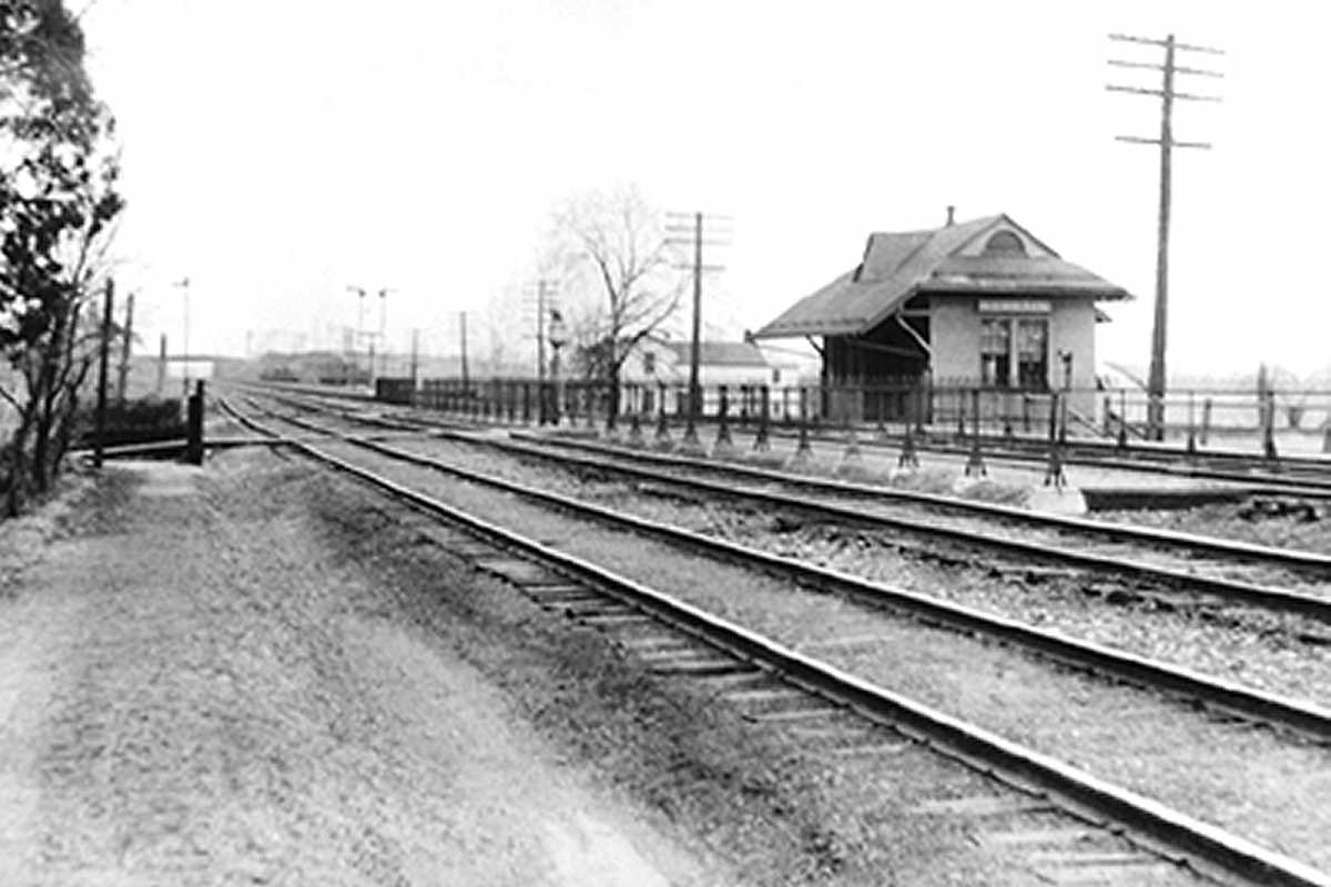
|
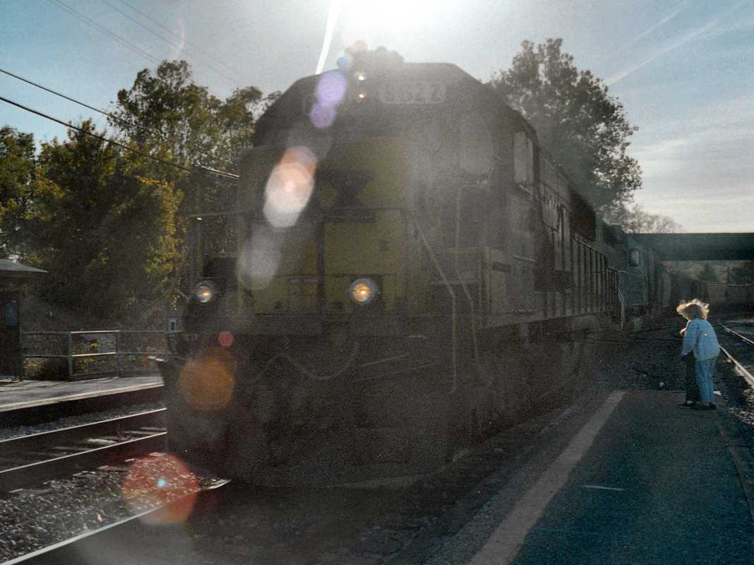
Families and foamers alike know better than to stand around for trains
on bitterly cold days.
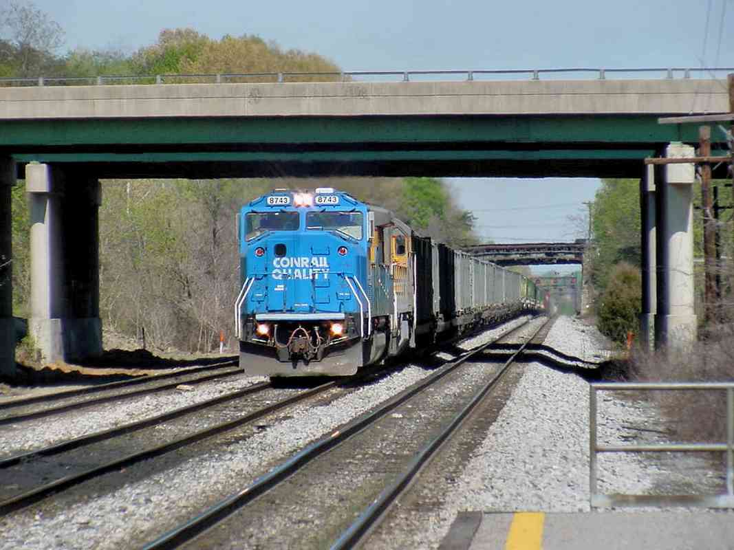
This location is known for attracting railfans, including deeply serious ones,
aka foamers. Most are welcoming to newbies, but be aware some are so into modern
railroad details that they'll not have much to talk about with you unless you can
tell them something current they do not already know.
Sadly, the same sometimes applies online, even at sites that claim to warmly welcome
fellow railfans. Don't be alarmed if you get a cold shoulder, it's not uncommon.
To help you avoid rude treatment, I no longer link to such sites from this one.
Links:
Meet the Foamers,
The Return
| 


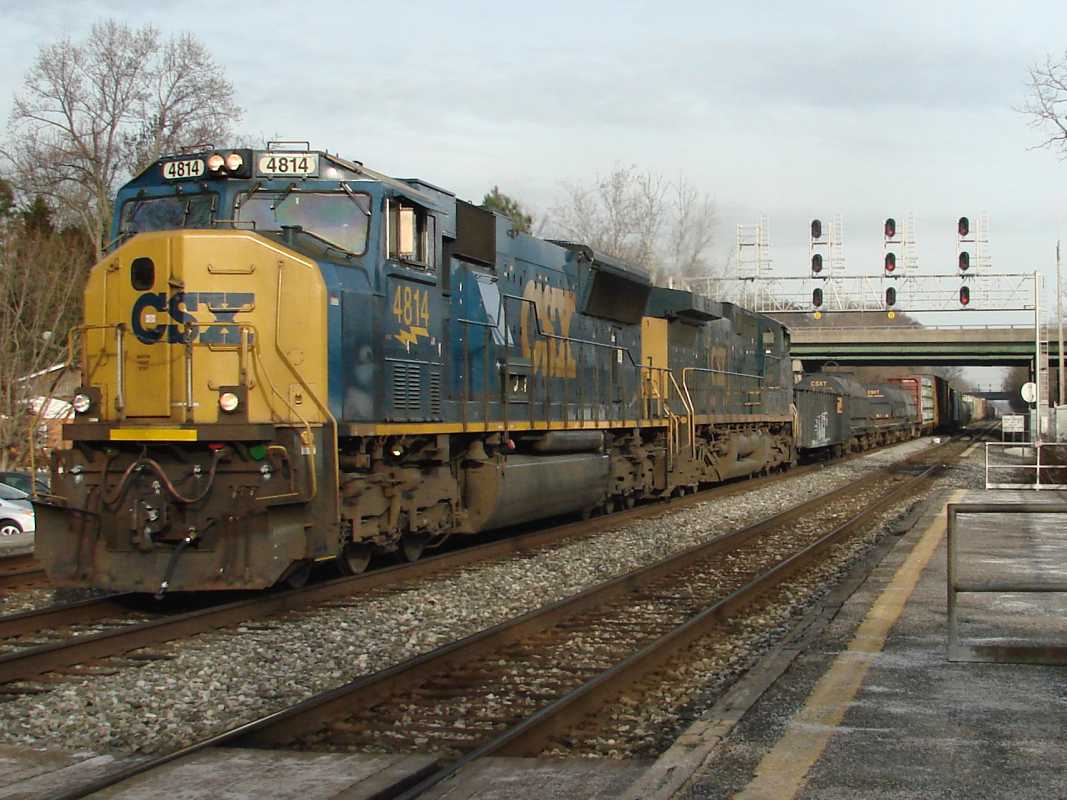
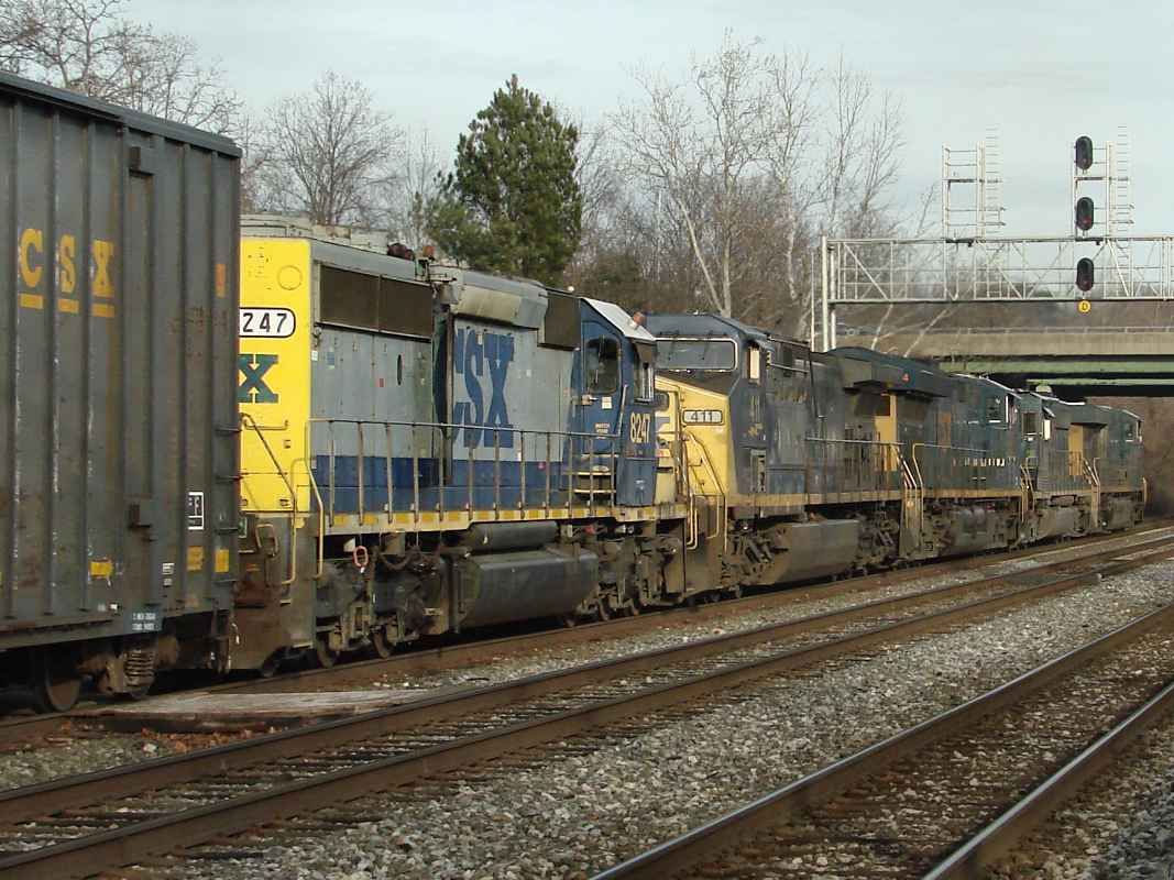


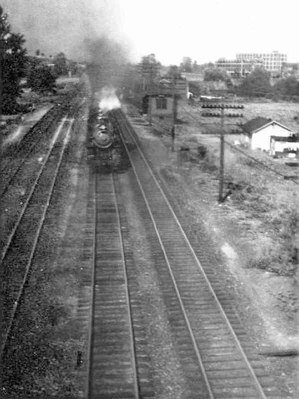


 Yes, CSX 4814 is leading, but this is my only photo that includes CSX 1.
I didn't capture a second photo because I didn't realize CSX 1 was
trailing until much later.
Yes, CSX 4814 is leading, but this is my only photo that includes CSX 1.
I didn't capture a second photo because I didn't realize CSX 1 was
trailing until much later.