TrainWeb.org Facebook Page
B&O Alexandria Branch Photo Tour


B&O Alexandria Branch
Modern day photo tour

Accompanying each photo below are:

Click a photo to see a larger view. Please send your comments and corrections to Steve.


<< Previous (north) | THIS PAGE: Cheverly to Benning | Next (main line at Hyattsville) >>

Tuxedo

Tuxedo
Mile: 118.7 Date: Sep 2017
Ease: A View: E
Area: B- IC2:
Map: PG 12 F 10 Topographic Maps

I am told this sensor array over the tracks at Tuxedo is a height detector.


US 50

US 50
Mile: 118.4 Date: Sep 2017
Ease: A View: E
Area: B IC2:
Map: PG 12 F 11 Topographic Maps

This bridge spans both Tuxedo Road (MD 459), and US 50. It is the first of a series of four bridges within less than a half mile of trackage.


US 50
Photo courtesy Google

Four Bridges
Mile: 118 Date: Apr 2018
Ease: View: N (up)
Area: IC2:
Map: PG 12 F 11 Topographic Maps

This tour page begins near top right, where the first of four bridges is found over Tuxedo Road and John Hanson Highway (US 50). The tour proceeds generally southwest, toward the lower-left corner.


Grade Separation

Grade Separation
Mile: 118.4 Date: Sep 2017
Ease: C+ View: N
Area: B- IC2:
Map: PG 12 F 11 Topographic Maps

The bridge over US 50 curiously features a narrow walkway along its western side.


Penn Line

Penn Line
Mile: 118.4 Date: Sep 2017
Ease: C+ View: S
Area: B- IC2:
Map: PG 12 F 11 Topographic Maps

That is followed by a bridge over the Pennsylvania RR's Magruder Branch, now part of what local commuters call the Penn Line, and longer distance travellers call the Northeast Corridor. This is one of the few ex-B&O bridges to host Pennsylvania Railroad signals. Markings on the bridge indicate it was last painted during 1969.

Change for: Penn Line tour at this site


Landover Subdivision

Landover Subdivision
Mile: 118.2 Date: Sep 2017
Ease: C- View: S
Area: B- IC2:
Map: PG 12 F 11 Topographic Maps

Next up is one of the few ex-B&O bridges of this type that is built entirely on a curve. Underneath is CSX's Landover Subdivision, what had previously been part of B&P's original alignment into Washington.

The CFP 117.96 mile marking has been superceded by new mileposts. CFP is CSX's symbol for its RF&P Subdivision plus Alexandria Extension.

The bridge beyond dates to the 1970s when the Washington Metro bored its way underneath.

Change for: Landover Subdivision tour at this site


From Metro

From Metro
Mile: 118.1 Date: Jul 2019
Ease: B View: NE
Area: B- IC2:
Map: PG 12 F 11 Topographic Maps

Here's the last of the four bridges, as seen from Metro...


Metro

Metro
Mile: 118.1 Date: Sep 2017
Ease: B View: NE
Area: C+ IC2:
Map: PG 12 F 11 Topographic Maps

... and from topside.


Milepost 118

Milepost 118
Mile: 118.0 Date: Sep 2017
Ease: B View: SW
Area: C+ IC2:
Map: PG 12 F 11 Topographic Maps

Milepost 118 is about 1000 feet south of its previous location. CSX numbers the Alexandria Extension's mileposts as a continuation of its RF&P Subdivision. Unseen in the photo, a concrete-pipe culvert carries water underneath.

Change for: RF&P Subdivision tour at this site


Coal End

Coal End
Mile: 117.8 Date: Sep 2017
Ease: A- View: NE
Area: C+ IC2:
Map: PG 12 F 12 Topographic Maps

A visit to what's left of the Addison Road grade crossing finds a coal train headed for the Hyattsville and the CSX Capital Subdivision.


Meet Ahead

Meet Ahead
Mile: 117.8 Date: Sep 2017
Ease: A- View: SW
Area: C+ IC2:
Map: PG 12 F 12 Topographic Maps

The opposite view reveals the elevation has been lowering to meet that of Metro and the original B&P alignment.

The bridge in the foreground spans Eastern Avenue, part of the boundary between Washington, DC and Maryland.


Eastern Avenue

Eastern Avenue
Mile: 117.7 Date: Sep 2017
Ease: A View: NW
Area: C+ IC2:
Map: DC 11 E 12 Topographic Maps

The shadows reveal three separate bridges, the closest is that for the Alexandria Extension, the middle belongs to Metro, the far one is the ex-B&P route, now CSX Landover Subdivision.

Google places the DC/MD boundary along the middle of Eastern Avenue, but the ADC maps place it along the northeastern side of Eastern Avenue. Judging by street lamp design, ADC is correct.


Deanwood

Deanwood
Mile: 117.4 Date: Jul 2019
Ease: B View: NE
Area: C IC2:
Map: DC 11 D 13 Topographic Maps

CSX makes a Metro sandwich at the latter's Deanwood Station. CSX's acquisition of what is now its Landover Subdivision began the odd situation of two differently-named lines running parallel: Landover Sub on the left, Alexandria Extension on the right.

Those signals on the right are the Extension's only ones within DC. At the signals, trains bound for Hyattsville neck down from double to single track.


Chesapeake Junction

Chesapeake Junction
Mile: 117.4 Date: Sep 2017
Ease: A- View: N
Area: C IC2:
Map: DC 11 D 13 Topographic Maps

Those are the same signals.

This is in the vicnity of Chesapeake Junction where B&O and Chesapeake Beach Railway had met.


Chesapeake Beach

Chesapeake Beach
Mile: 117.4 Date: Sep 2017
Ease: B View: SW
Area: C IC2:
Map: DC 11 D 13 Topographic Maps

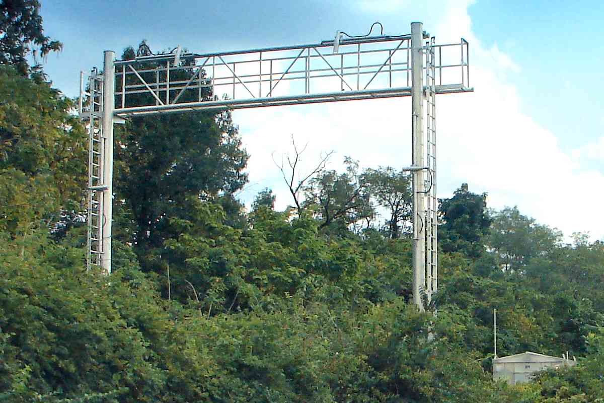
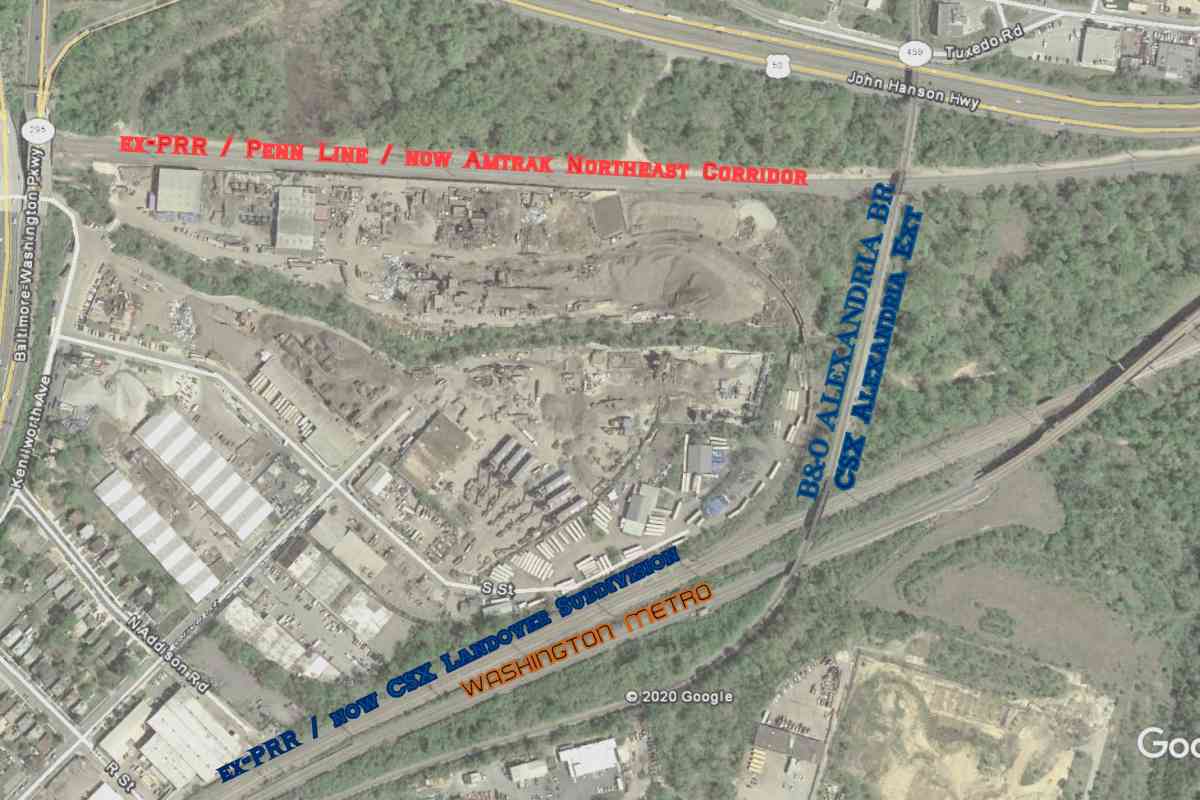
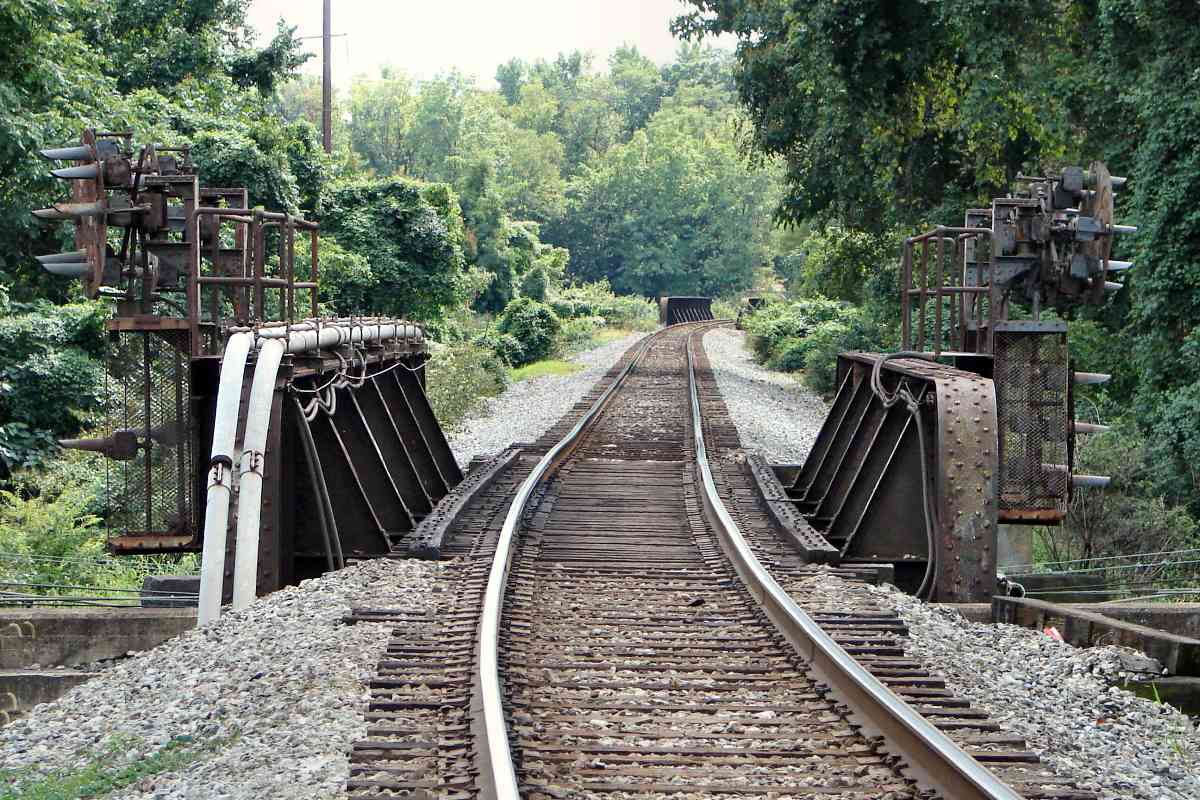
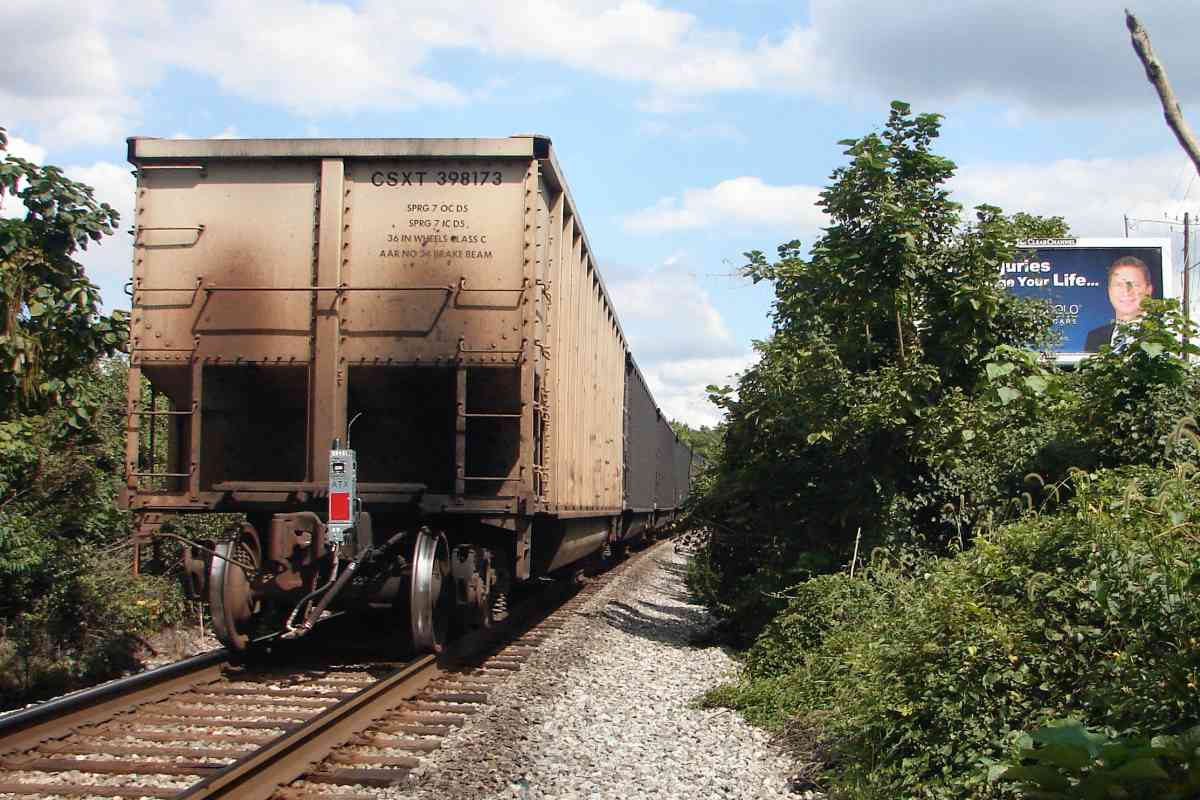
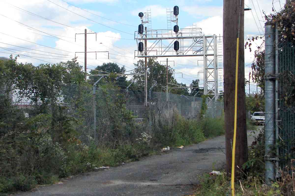
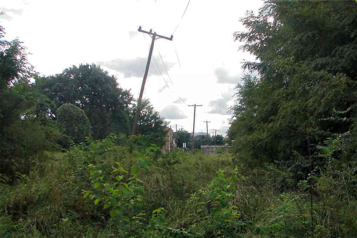
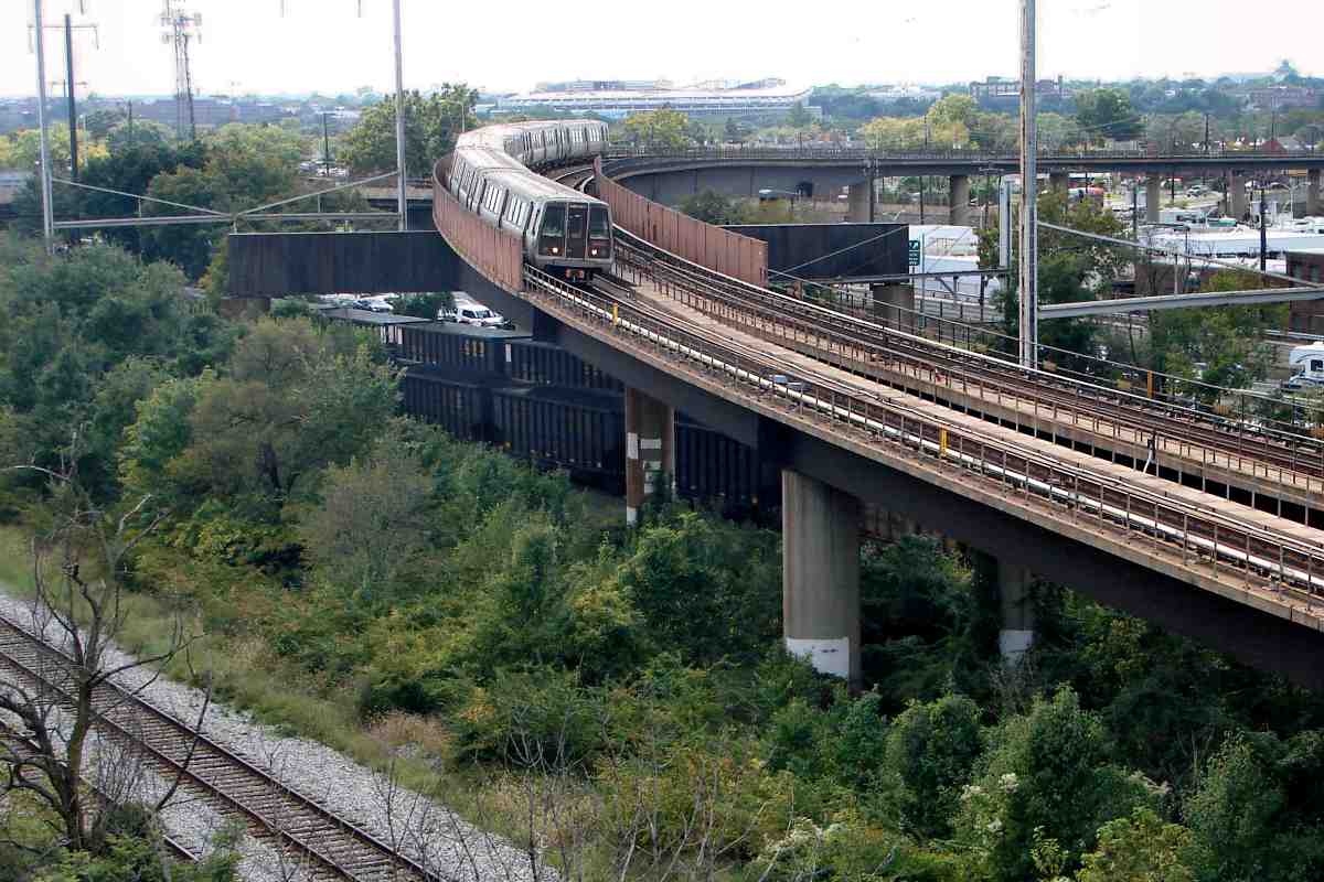
The Alexandria Branch is off photo-right. Utility poles still follow the route of the Chesapeake Beach Railway (CB) which itself followed the route of the Southern Maryland Railroad, a company that went under before operating any trains. Of the various rail companies that followed, the CB was perhaps the most successful. From 1900 to 1935 the CB carried passengers to a resort at Chesapeake Beach, Maryland.

Herb Harwood wrote about what followed the CB:

    The 27-mile-long Chesapeake Beach Ry. was completed in 1900 between Chesapeake Jct. and a newly established resort on Chesapeake Bay named Chesapeake Beach. Designed primarily to carry passengers between Washington and the resort, the 
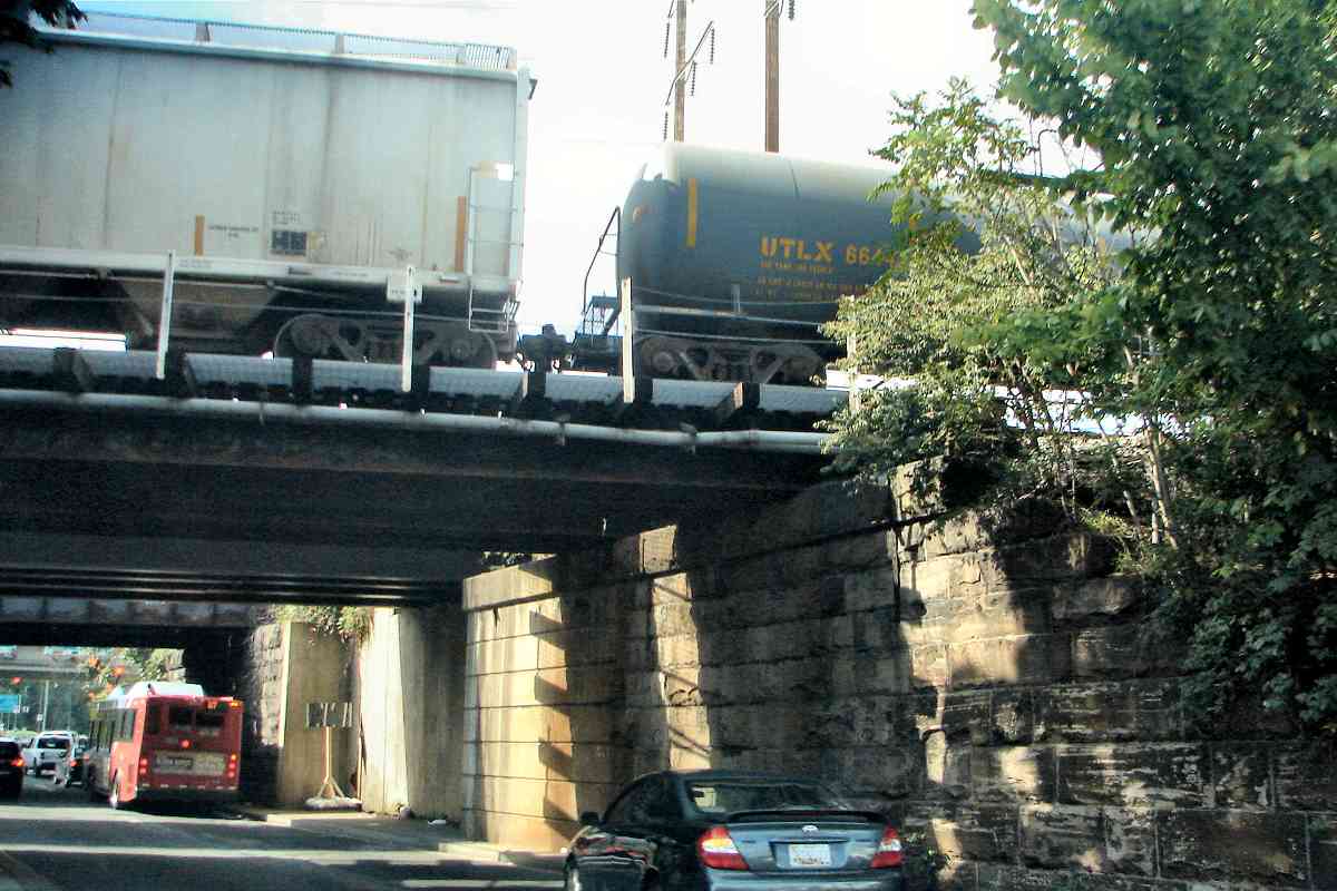
CB generated only a modest amount of general freight interchange. But the junction became important to B&O as its method of serving what later became the Potomac Electric Power Co.'s Benning power plant, a large coal consumer. The plant was directly served by the PRR, but B&O coal shipments reached it through an unusual route that required intermediate handling by the CB and the Washington Ry. & Electric Co. (later Capital Transit Co.). Coal was interchanged with the CB, which carried it no more than a long block to connect with the WR&E/CTCo.'s Seat 
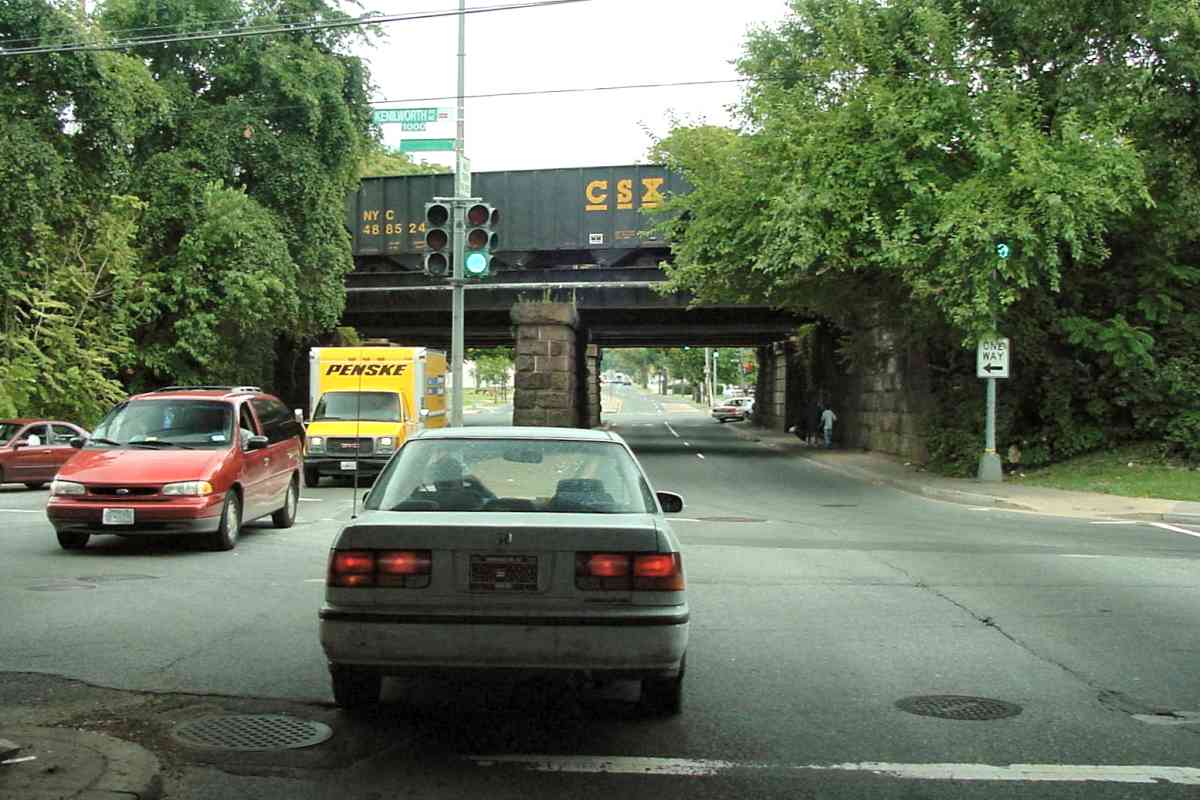
Pleasant streetcar line at Deane Ave. From there, electric trolley locomotives took the cars a short distance south on Kenilworth Ave. (now Kenilworth Ave. Freeway) to the plant.

    The CB expired in 1935, but about 2 miles at its western end were retained and reorganized as the East Washington Ry. Although it served a few freight customers in the Seat Pleasant area, the EW's main livelihood came from its role as the ultra-short switching link for B&O power plant coal between Chesapeake Jct. and the streetcar line at Deane Ave. Capital Transit abandoned the car line in 1949, but continued hauling B&O coal between the EW Deane Ave. interchange and the Benning plant. The full operation was turned over to the EW in 1955 and survived until 1978, when the plant switched to oil, the EW was abandoned, and the Chesapeake Jct. interchange ceased to exist.

Links: Chesapeake Beach Railway at Wikipedia, Chesapeake Beach Railway Museum, CB at Abandoned Rails


Deane Avenue

Deane Avenue
Mile: 116.9 Date: Jul 2005
Ease: A View: E
Area: C+ IC2:
Map: DC 11 C 13 Topographic Maps

The coal to the Benning power plant rolled under the tracks here at Deane Avenue. The train above is riding the Landover Subdivision.

Change for: WB&A tour at this site


Nannie Helen Burroughs

Nannie Helen Burroughs
Mile: 116.9 Date: Sep 2017
Ease: A View: NW
Area: C IC2:
Map: DC 11 D 13 Topographic Maps

On the east side the street is named for Nannie Helen Burroughs who in 1908 opened a school for black women. The train above is riding the Alexandria Extension.


About to Join

About to Join
Mile: 116.4 Date: Sep 2017
Ease: B+ View: W
Area: C IC2:
Map: DC 17 C 1 Topographic Maps

Near Benning Road, Metro slips out of the sandwich so the Alexandria Extension (left) can join the Landover Subdivision (right) at Anacostia Junction. RFK Stadium stands in the distance at top center.


Benning Yard
Photo courtesy District Department of Transportation (DDOT) Library

Benning Yard
Mile: 115.5 Date: ~1960
Ease: View: W
Area: C IC2:
Map: DC 17 A 3 Topographic Maps

The Alexandria Extension and Landover Subdivision join at Benning Yard that at photo time was part of the Pennsylvania Railroad. Beyond at upper left is the Anacostia River Bridge that dates to B&P construction during 1872. The bridge was rehabbed during 1972, and now belongs to CSX. On the opposite shore is CSX's RF&P Subdivision that, a few miles southwest of here, connects to Long Bridge across the Potomac River.

This aerial view is from over C Street SE. Crossing over the yard is the Anacostia Freeway, DC 295. At left, downstream from the rail bridge is an automobile bridge for Pennsylvania Avenue (no relation). RFK Stadium would soon be built just off the photo's upper right corner.


Bolling AFB
Photo courtesy District Department of Transportation (DDOT) Library

Bolling AFB
Mile: Date: Nov 1962
Ease: View: N
Area: IC2:
Map: DC 22 C 1 Topographic Maps

Now we're looking generally upstream, where the South Capitol Street bridge is the nearest spanning the Anacostia River

At photo time, from Shepherd Junction near Benning, additional track had continued about 2 miles southwest to here at Bolling Air Force Base, now named Joint Base Anacostia-Bolling. Some of the rails are still hiding in weeds, but have gone unused for decades. The last fixed-wing aircraft flight departed Bolling July 1962.

Change for: Landover Subdivision tour at this site


On the next page, the tour resumes at the main line in Hyattsville.

<< Previous (north) | THIS PAGE: Cheverly to Benning | Next (main line at Hyattsville) >>

Or, return to main page for other tours.

Copyright Notice