This line was originally constructed as the Placerville and Sacramento Valley RR, a subsidiary of the
Sacramento Valley RR and was also known as the Sacramento & Placerville or the Shingle Springs RR. Work began on the PSVRR in
May of 1863 reaching Shingle Springs in June of 1865. Later that year Central Pacific took over
and eventually completed the line to Placerville in 1888. Under Southern Pacific, the SV and PSVRR became
the Placerville Branch and was in service until the mid 1980's.
Placerville & Sacramento Valley Roster
Number
Type
Builder
Bldr.#
Built
History & Notes
Dispositon
#1
4-4-0
Globe
#4
1849
ex Sacramento Valley #1:2 Pioneer,
ex Sacramento Valley #4 CK Garrison
ex CK Garrison Const,
nee unknown eastern road Elephant
to Central Pacific,
scrapped 1889
#1:2
4-4-0
Rogers
#1551
1868
ex Central Pacific #110
to Northern Ry #1019
#2
4-4-0
Hinkley
#555
1855
ex Sacramento Valley #2 Nevada
to Central Pacific #166:2,
to Northern Ry #1020
#3
4-4-0
Rogers
1539
1868
ex Central Pacific #104
to Northern Ry #1021,
to Oregonian #11,
to Southern Pacific #1008:2
Currently the FEDSHRA group of Folsom operates a new "Placerville & Sacramento Valley RR" to
run excursions on the western end of the line while El Dorado Co Historical Museum operates the El Dorado Western RR
excursions on the eastern end from Shingle Springs to Diamond Springs. From Diamond Springs eastward, the right-of-way
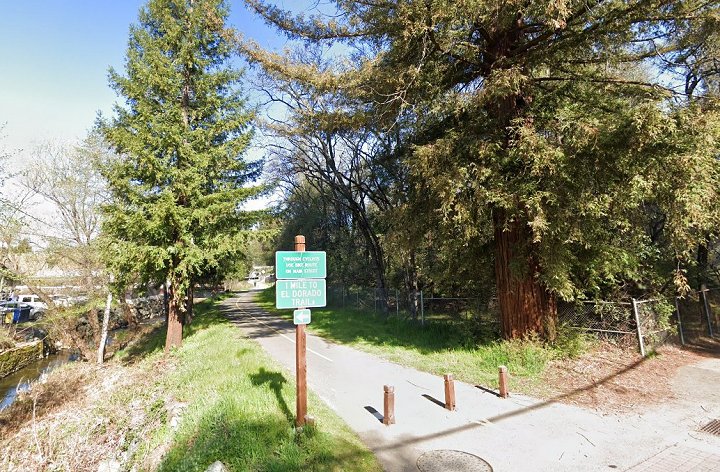
has now been paved for a multipurpose trail. In Placerville itself, some of the roadbed is now a lane for Highway 50.
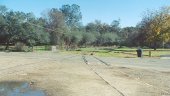
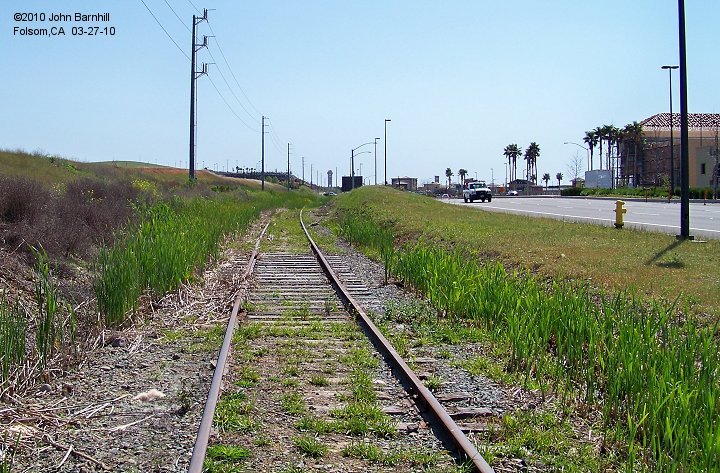
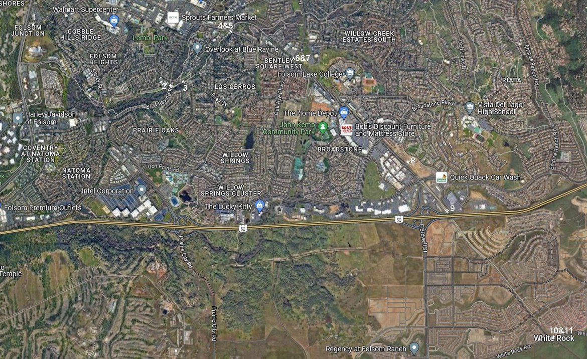
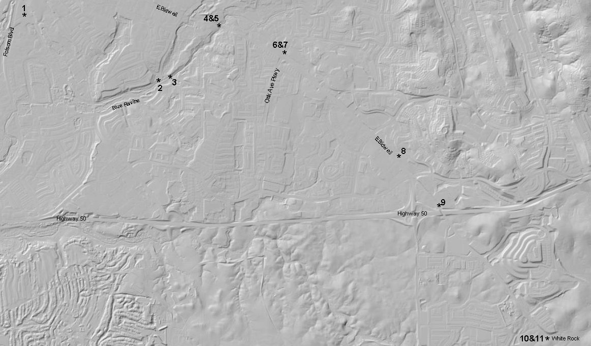
1. The original line started here at the wye in Folsom,CA. This is also the home of FEDSHRA's new Placerville & Sacramento Valley RR.
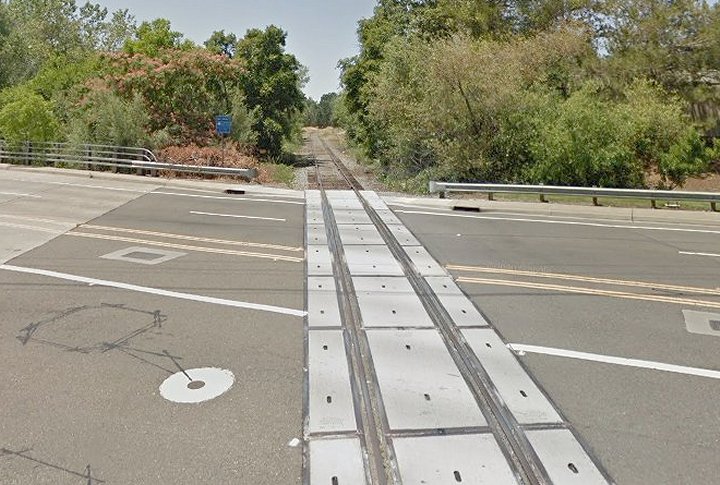
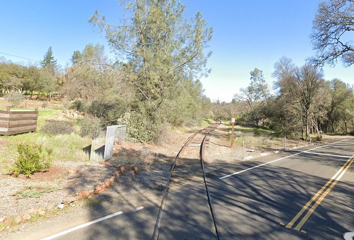
2. Google 2015 street view looking west at Blue Ravine Rd.
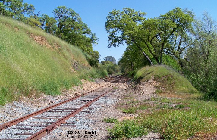
3. A very nice cut at the crossing of Riley Street near the intersection with Blue Ravine. View is eastward.
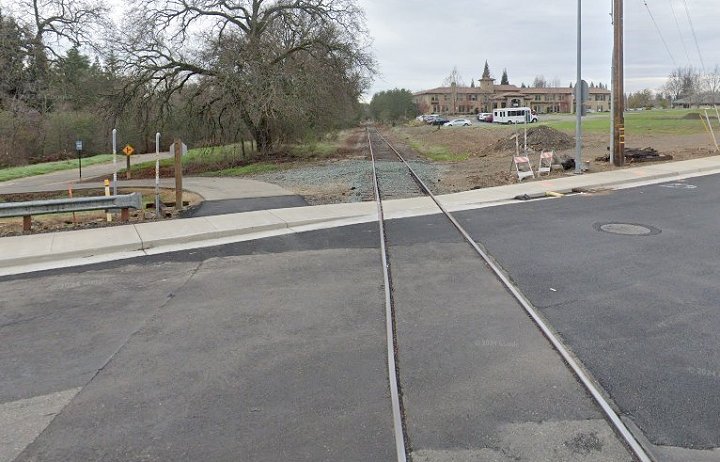
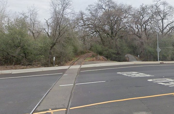
4.-5. West and east Google 2021 street views of the E.Bidwell grade crossing.
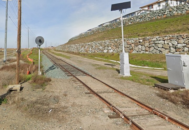
6.-7. West and east Google 2023 and 2021 street views at the Oak Ave Pkwy grade crossing.
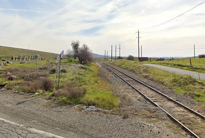
8. Further eastward along E.Bidwell near Via Felice in the Iron Point area of Folsom. View looks railroad east.
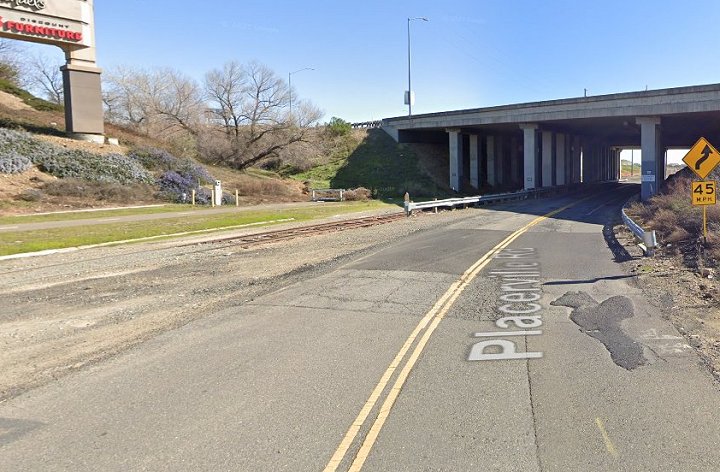
9. Ducking railroad east under Highway 50. Google 2023 street view.
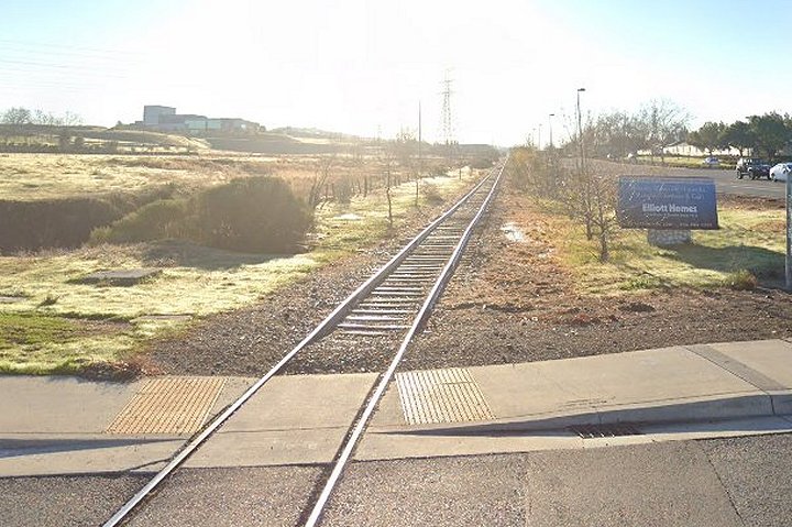
10.-11. Google 2023 street views at White Rock Rd. Image 11 looks east and was possibly the site of a depot. Confirmation needed.
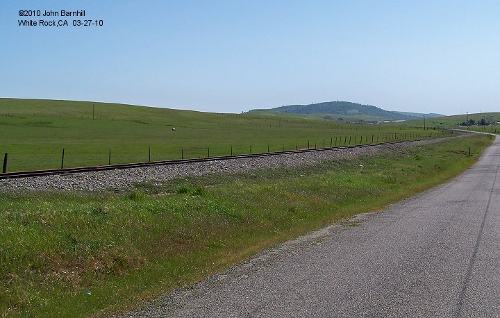
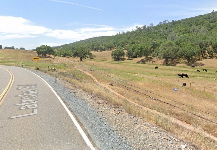
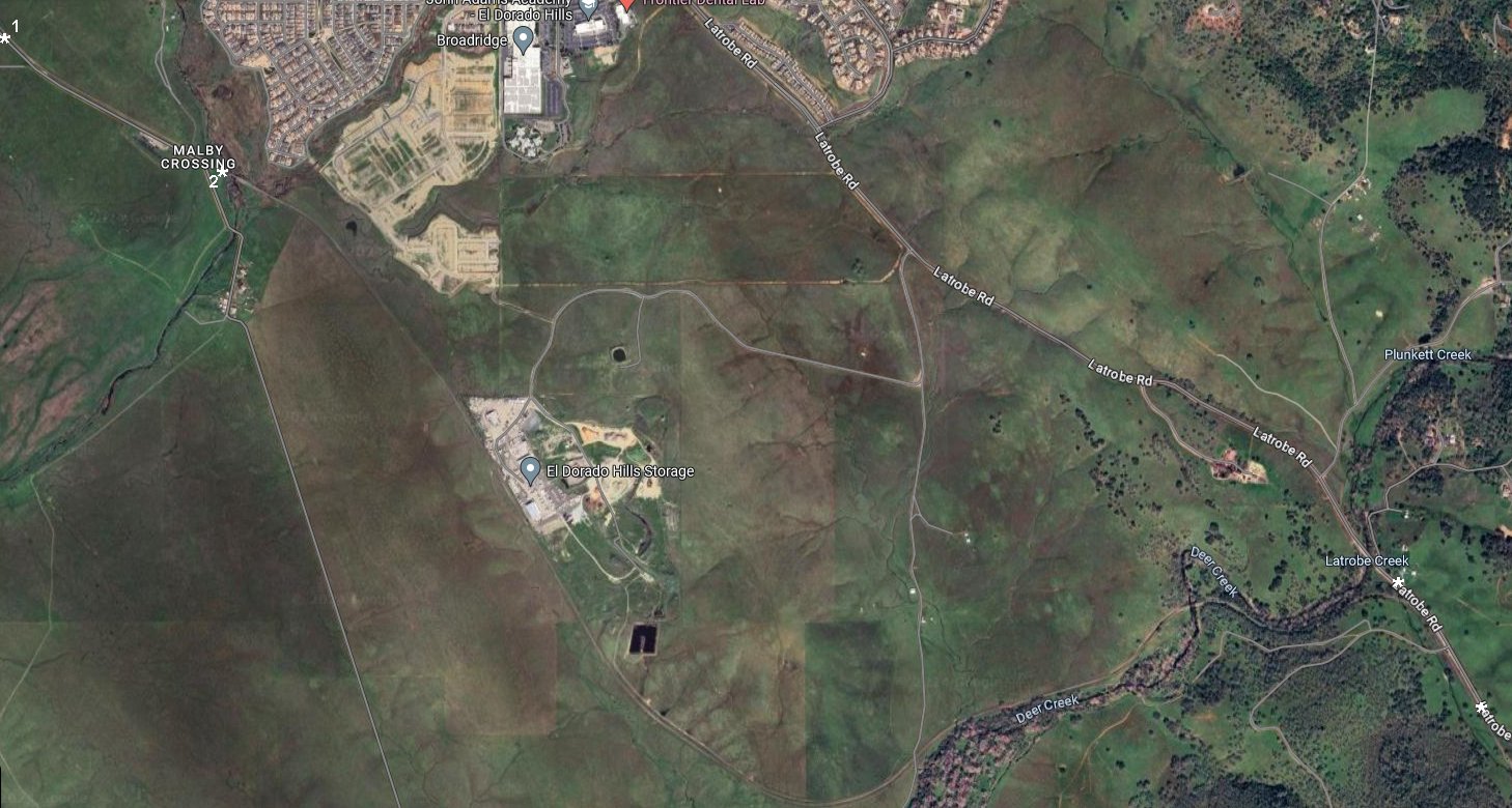
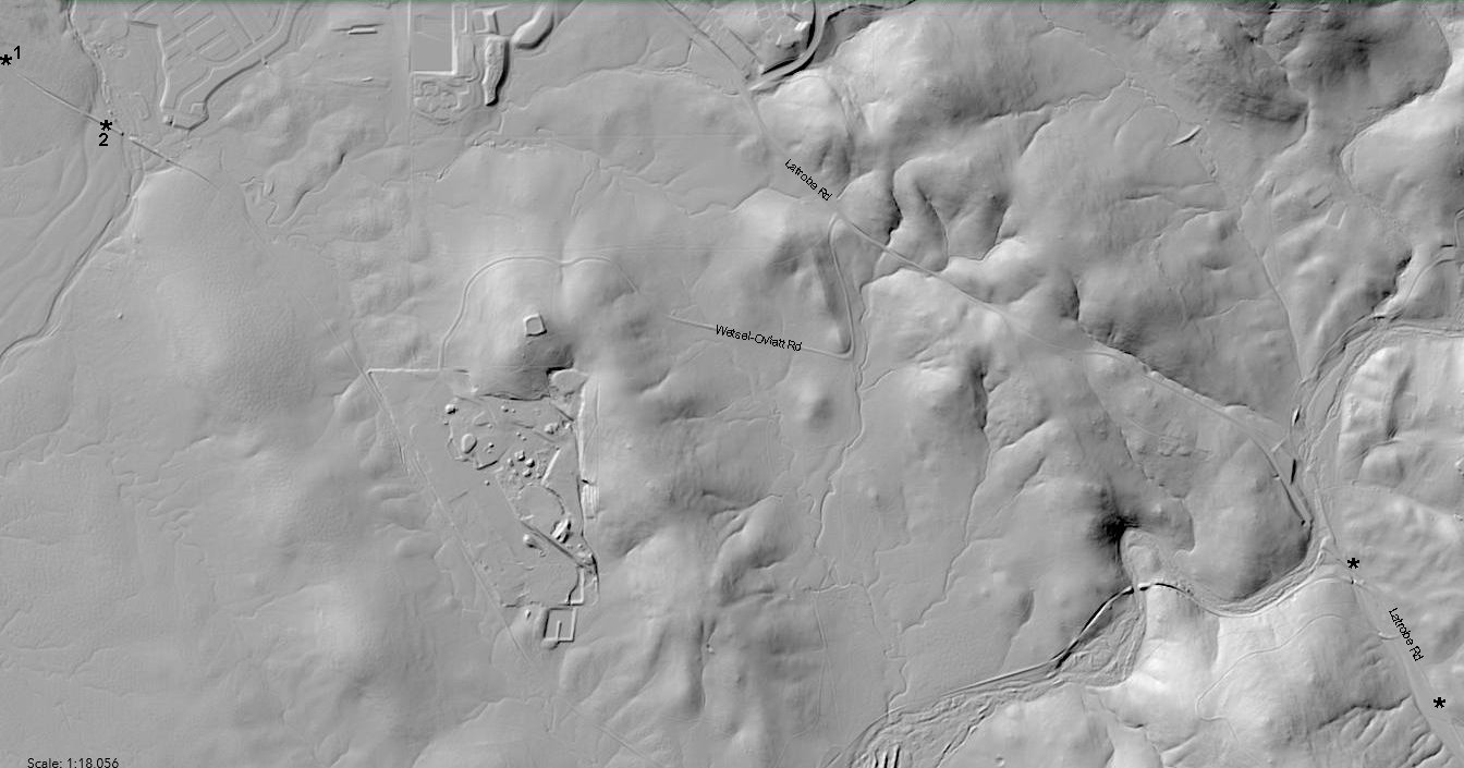
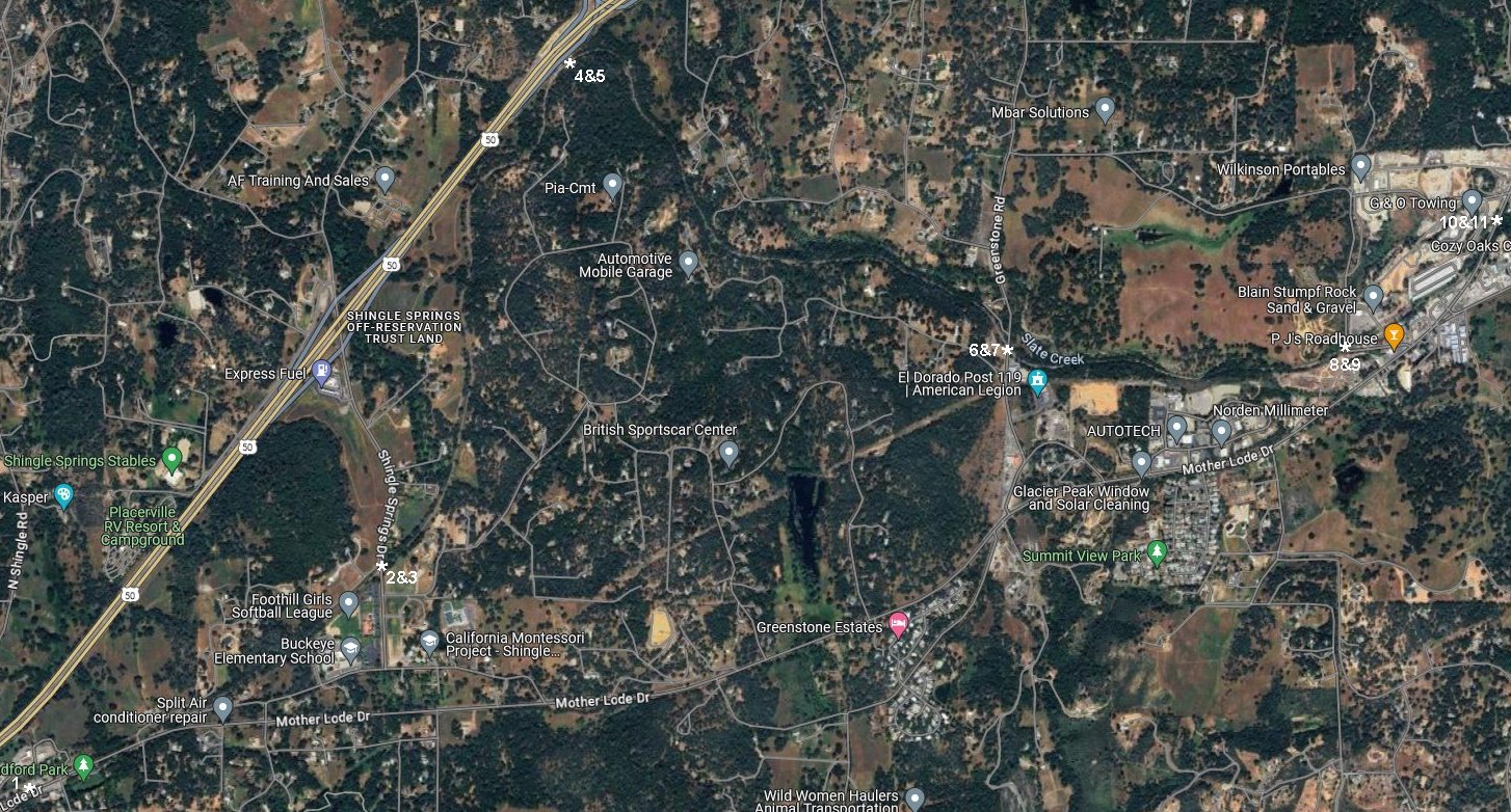
1. South of White Rock along Payen Rd, the line passes through very pastoral lands approching Malby Crossing.
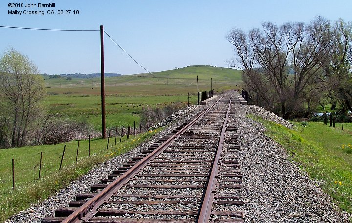
2. The line soon crosses Carson Creek at Malby Crossing.
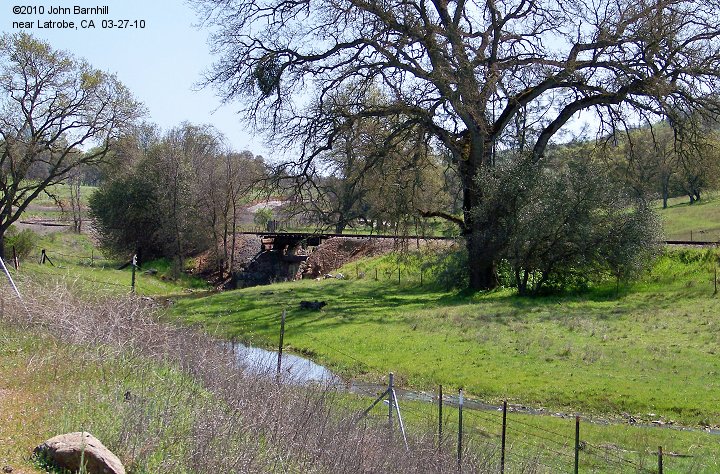
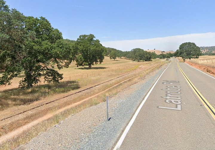
3. Just south of Deer Creek, the line crosses a tributary with this bridge. View from Latrobe Road.
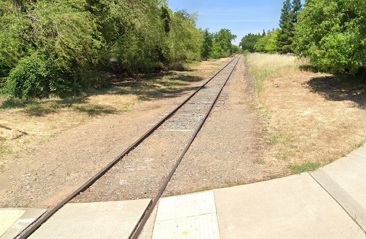
4.-5. Railroad west and east Google street views along Latrobe Rd just south of image 3.
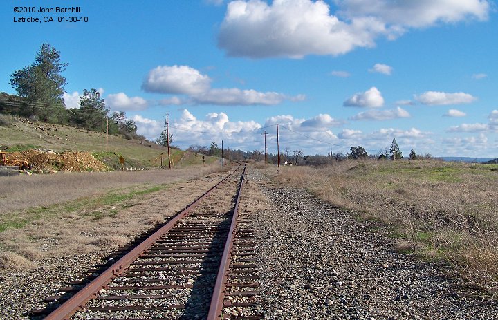
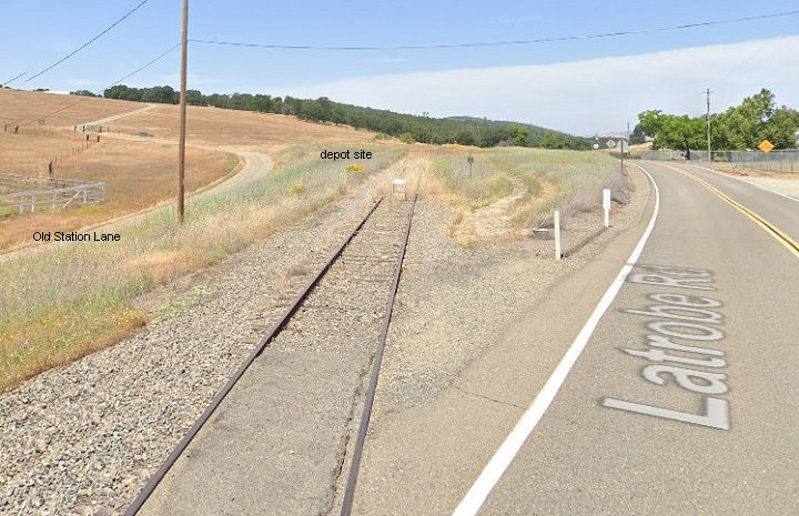
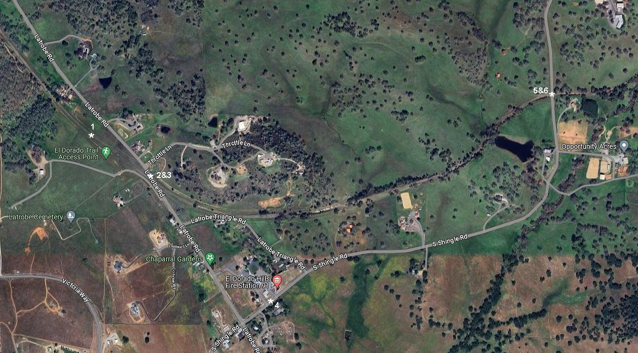
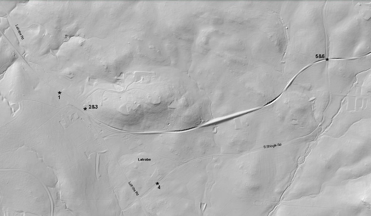
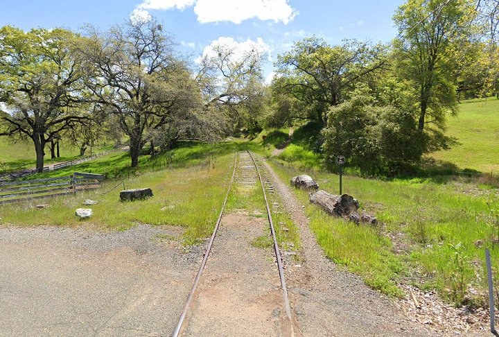
1. The mound on the right appears to be where the Latrobe depot stood. Further confirmation is needed.
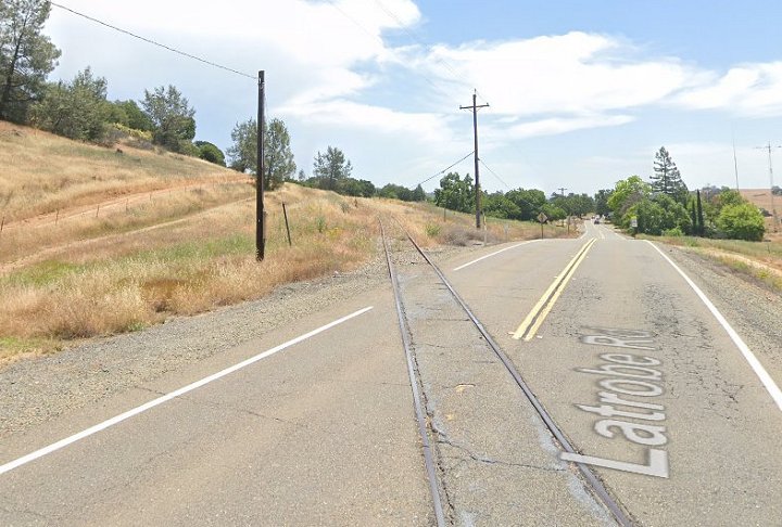
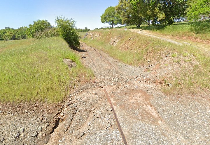
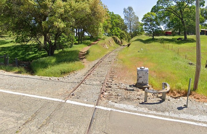
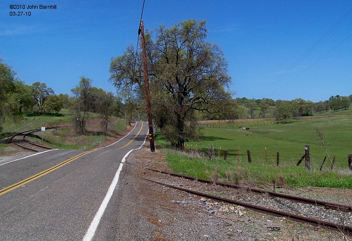
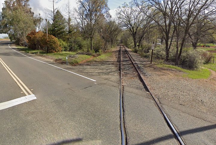
2.-3. 2023 North and south Google street views at the Latrobe Rd grade crossing.
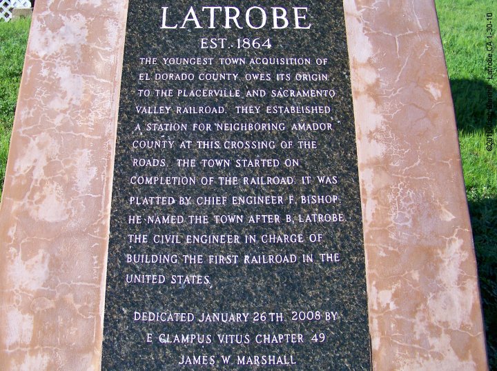
4. Plaque near the firestation in Latrobe. The line turns northerly from here and roughly follows South Shingle Rd to Shingle Springs,CA.
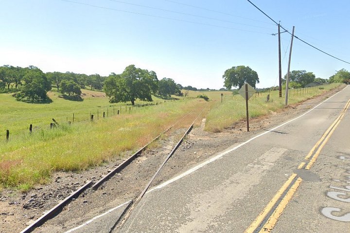
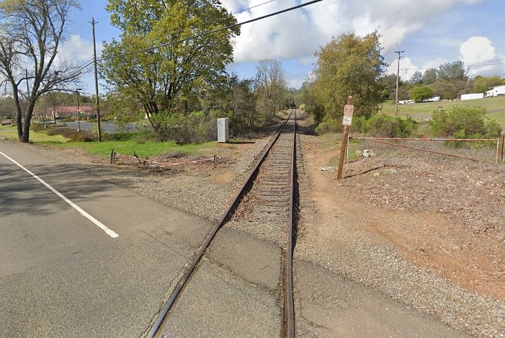
5.-6. West and east 2023 Google street views at the S.Shingle Rd grade crossing.
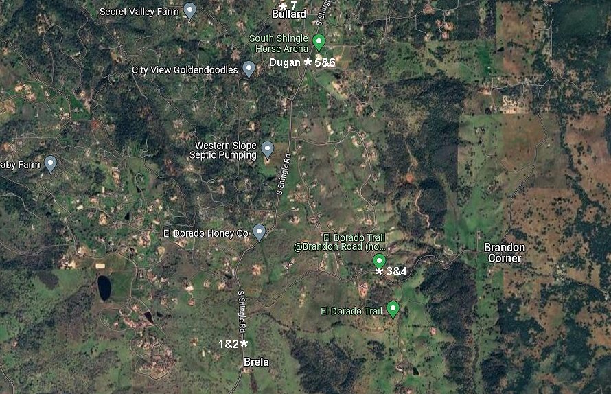
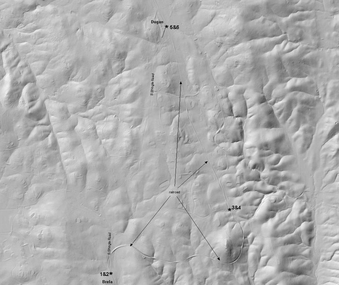
1. Google 2023 street view looking south, railroad west, at Brela. The Brela spur would be just out of sight.
2. North view at Brela. I like to call this spot "Doublecross" for obvious reasons.
3.-4. Google 2023 street views in both directions at Brandon Road.
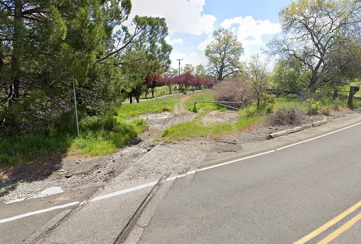
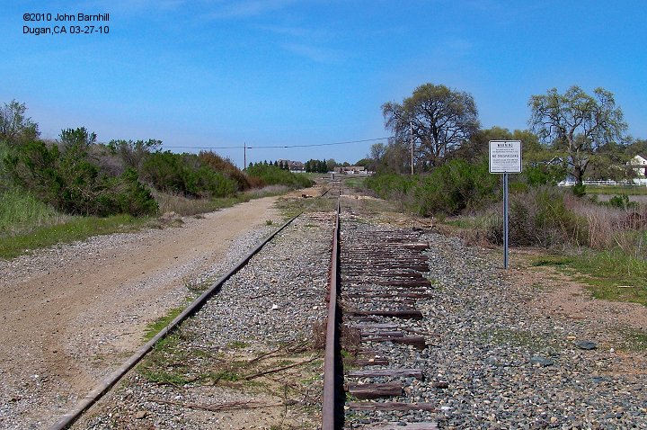
5. Dugan lookin south from the S.Shingle Rd grade crossing. 2023 Google street view.
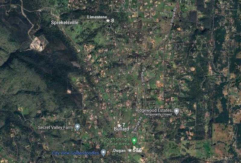
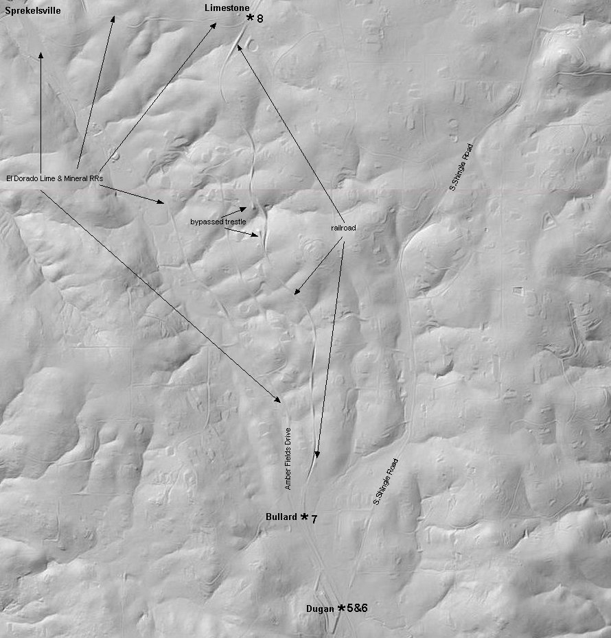
6. On the north side S.Shingle Rd lie the double sidings of Dugan(foreground) and Bullard(background).
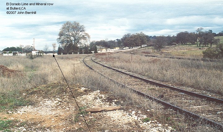
7. Bullard was the site of interchange with the second El Dorado Lime and Mineral railroad.
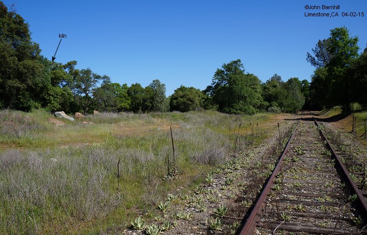
8. A bit further east on the line, Limestone was the interchange with the original El Dorado Lime and Mineral narrow gauge railroad.
9.-10. Brela to Dugan Google satellite and USGS lidar views marked with photo locations.
11.-12. Dugan to Limestone Google satellite and USGS lidar views marked with photo locations.
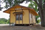
1. Shingle Springs, CA depot. It has served as a home for businesses but is now the western terminus of the El Dorado Western Railroad.
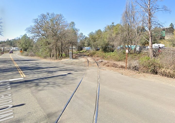
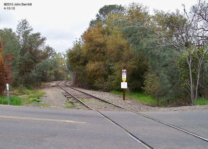
2.-3. West and east Google street views of the Shingle Springs Dr grade crossing.
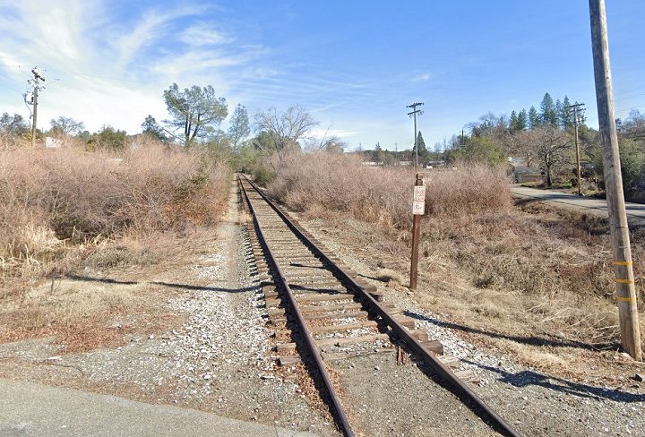
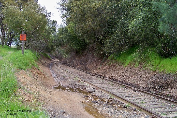
4.-5. East and west views of the site of tunnel 1. This is right next to Hwy 50 at the Red Hawk Casino exit.
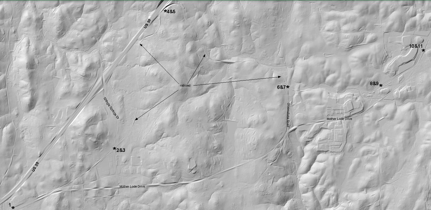
6.-7. East and west Google street views at Greenstone Rd.
8.-9. West and east Google street views at Davidson Rd in Kingsville, CA.
10.-11. Also in Kingsville, west and east Google street views of the Mother Lode Dr grade crossing.
14.-15. West and east views at the grade crossing of El Dorado Rd.
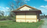
16. El Dorado Co Historical Museum has established a railroad park including this depot replica at El Dorado,CA. and train rides.
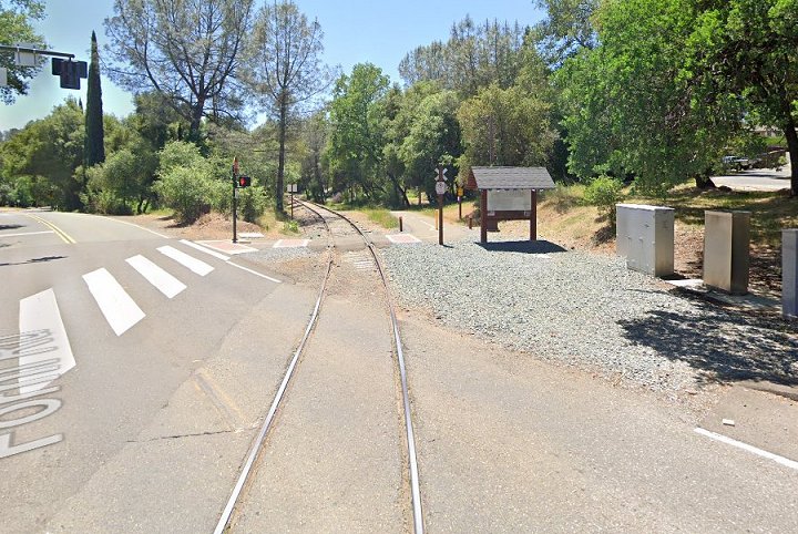
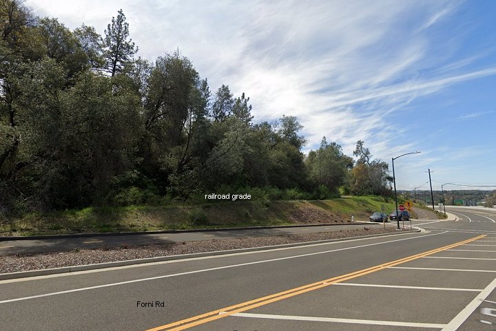
17.-18. West and east Google street views at the Forni Road grade crossing.
19. West of Missouri Flat Rd is a small industrial spur.
20. Looking west from the Missouri Flat Rd crossing. A few hundred feet of rail have been removed now including the switch in the next image.
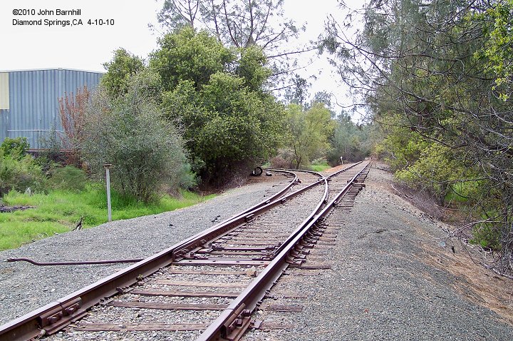
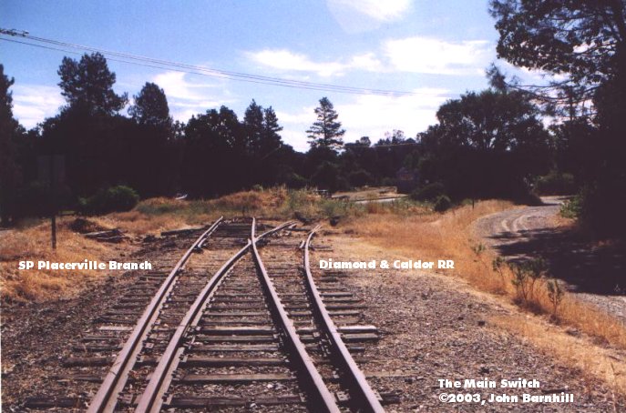
21. Here we have the interchange with the Diamond & Caldor at Missouri Flat Rd in Diamond Springs.
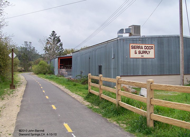
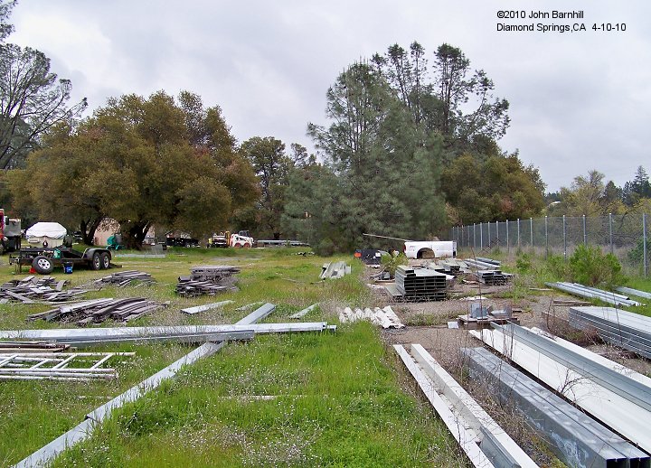
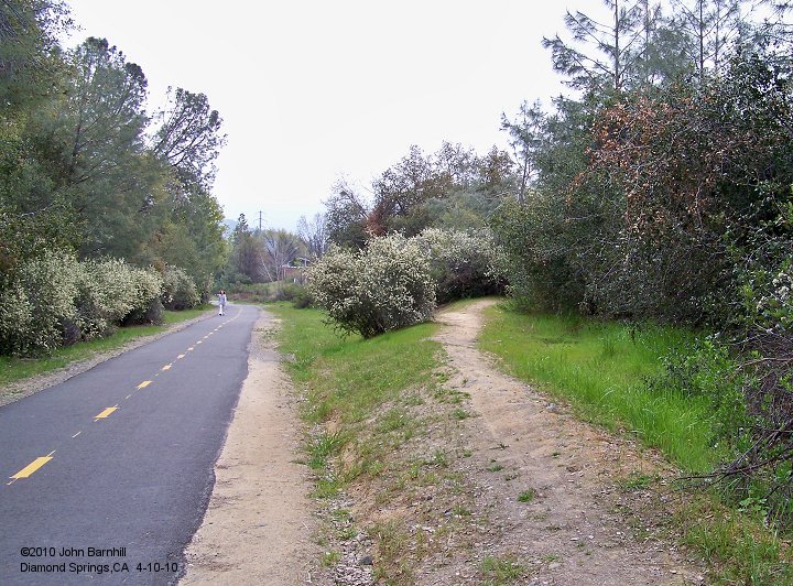
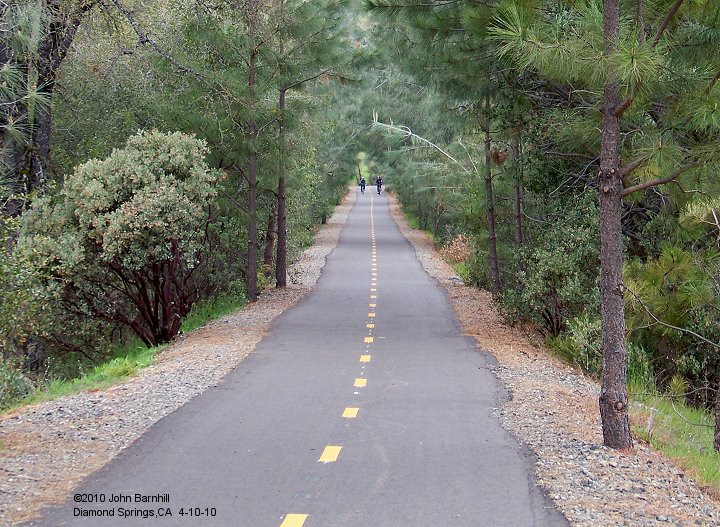
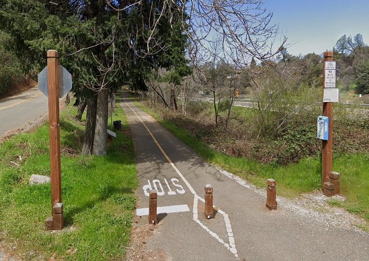
1. Starting at Diamond Springs, the right-of-way has been paved for multipurpose uses. The metal building stands on the site of the old SP depot.
2. Southern Pacific did have a small freight loading yard at Diamond Springs. This site is now home to the Old Depot Bike Park.
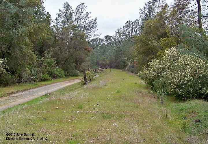
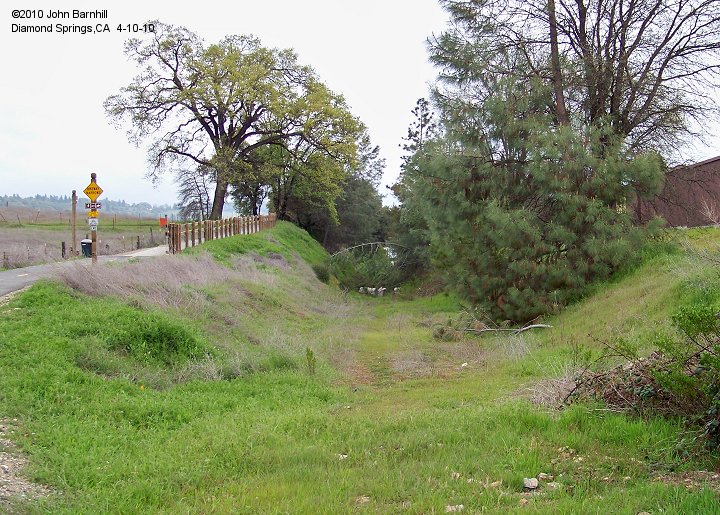
3. A short distance eastward, a short spur left the main.
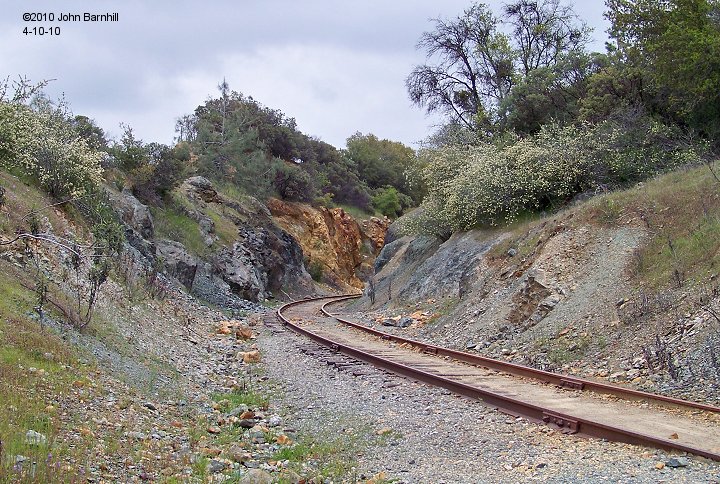
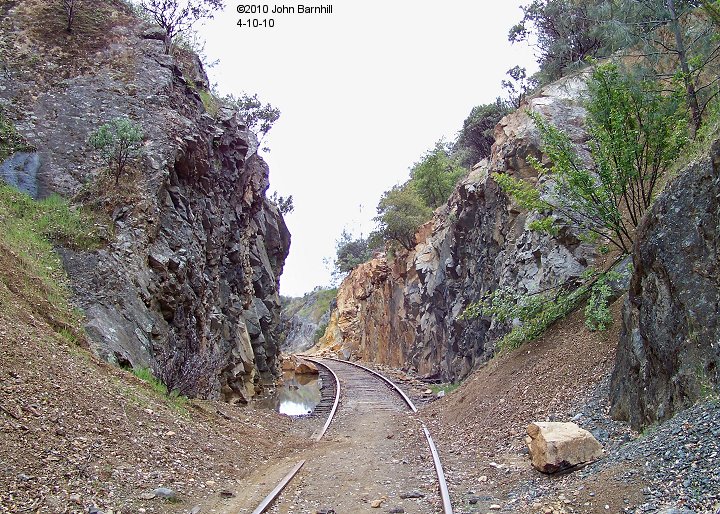
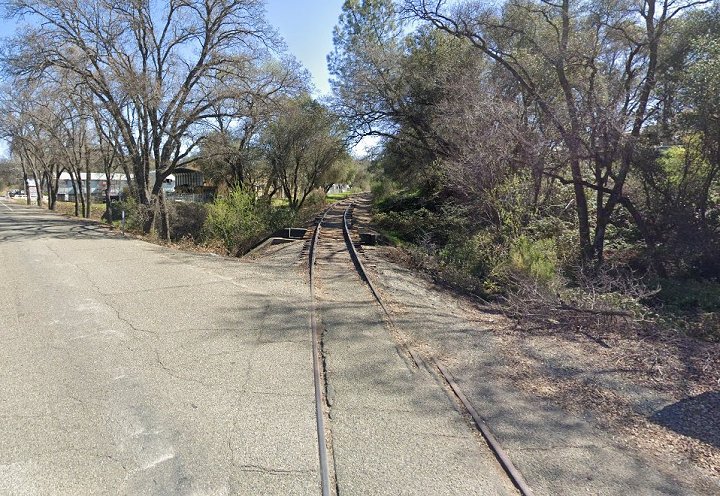
4.-5. The new path passes around this very long and deep cut a little further east.
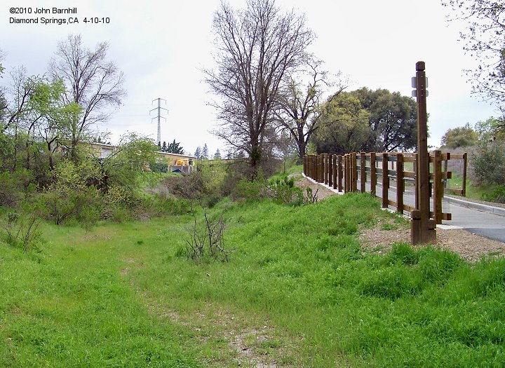
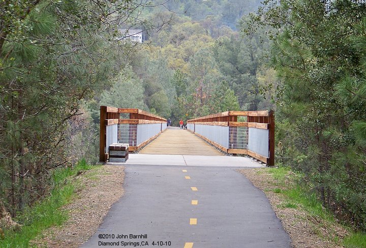
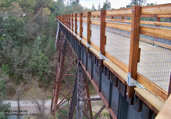
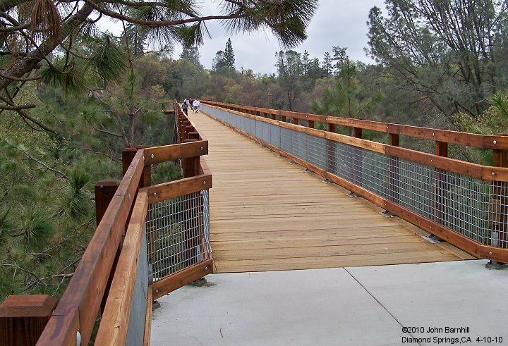
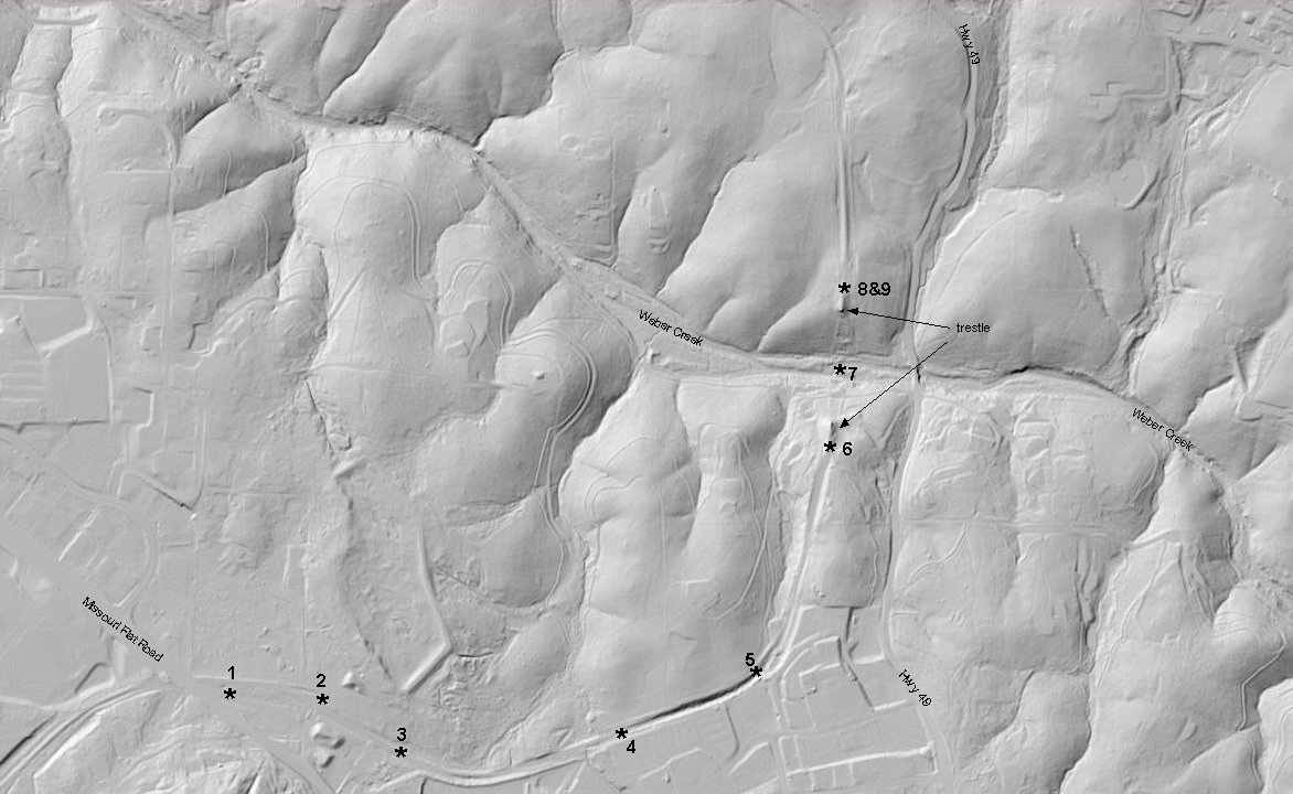
6.-8. The line crosses Weber Creek next on a huge steel trestle. New railings have been added along with an overlook
in the middle of the bridge. Image 7 is shot from the overlook halfway across. Image 8 shows this "overlook" from the east end.
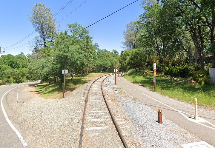
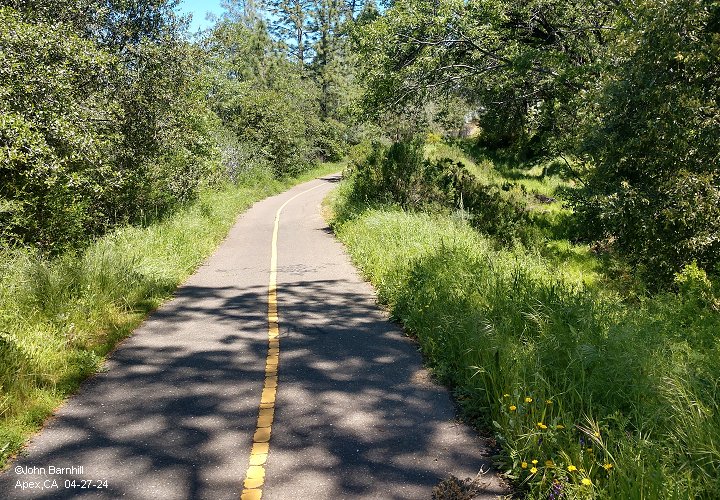
9. After making the creek crossing the line continues uphill towards Placerville.
10. Google street view from Forni Rd looking back east towards Weber Creek and Diamond Springs.
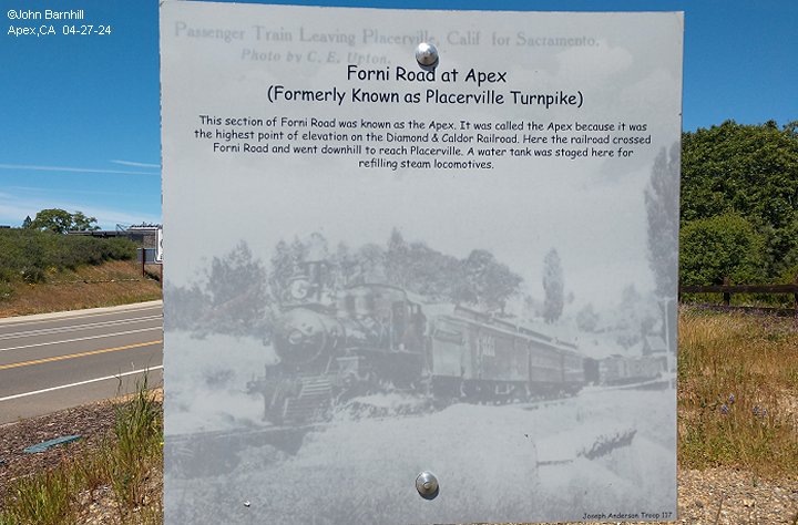
11. Interpretive sign placed at the corner of Forni Rd and Ray Lawyer Drive. Note that it mentions the wrong railroad.
12. View eastward towards Placerville from the same location.
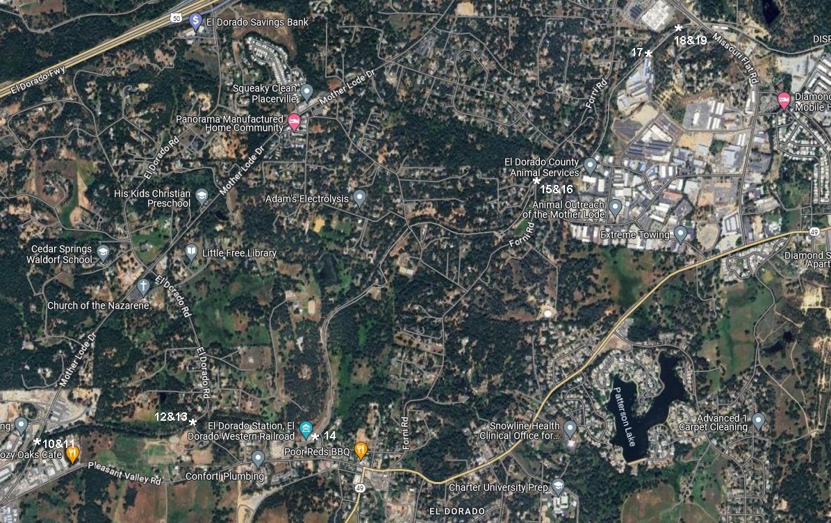
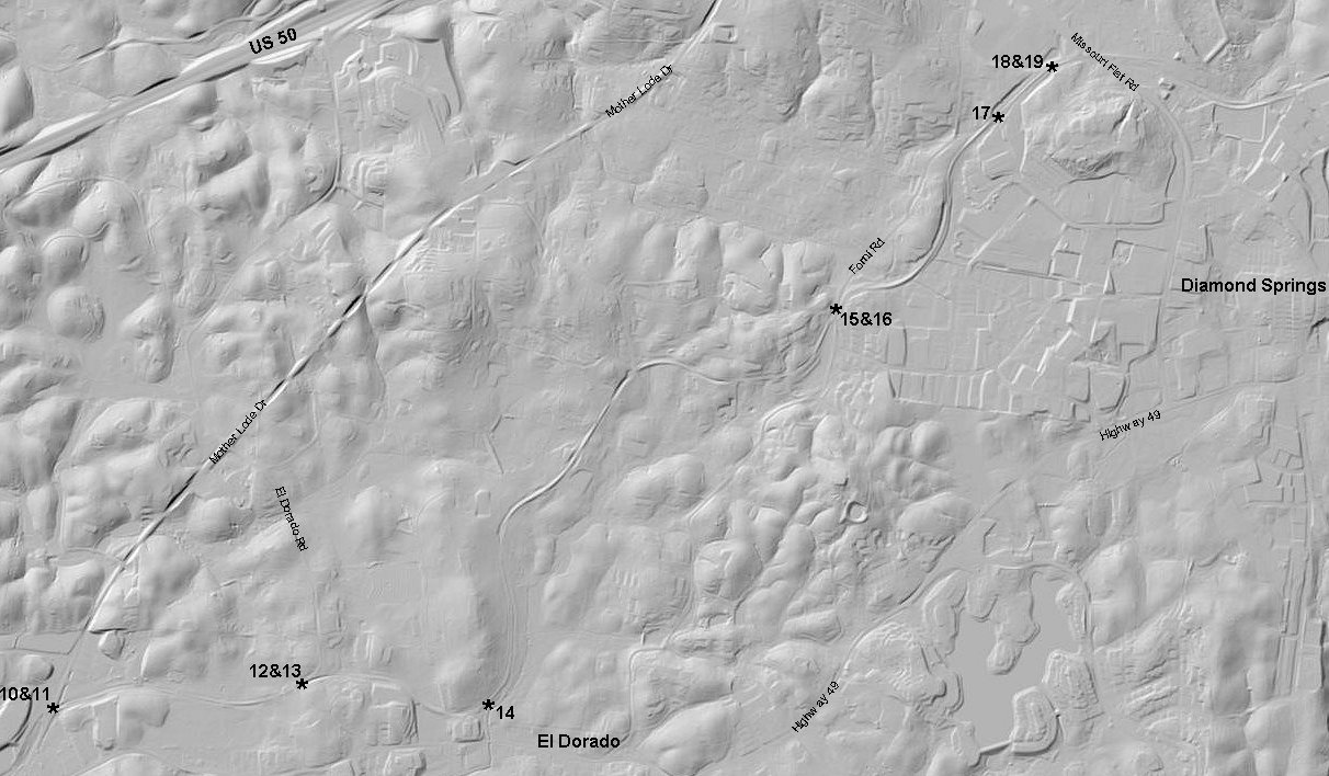
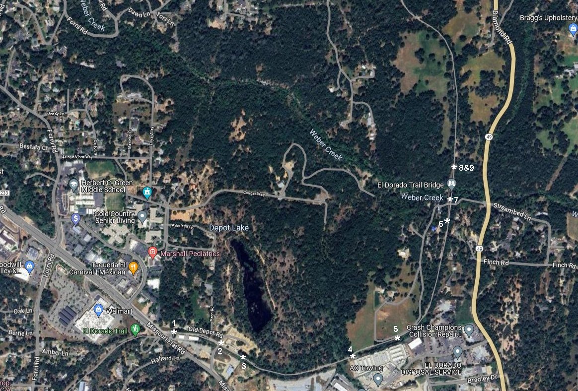
13.-14. Diamond Springs Google satellite and USGS Lidar marked with photo locations.
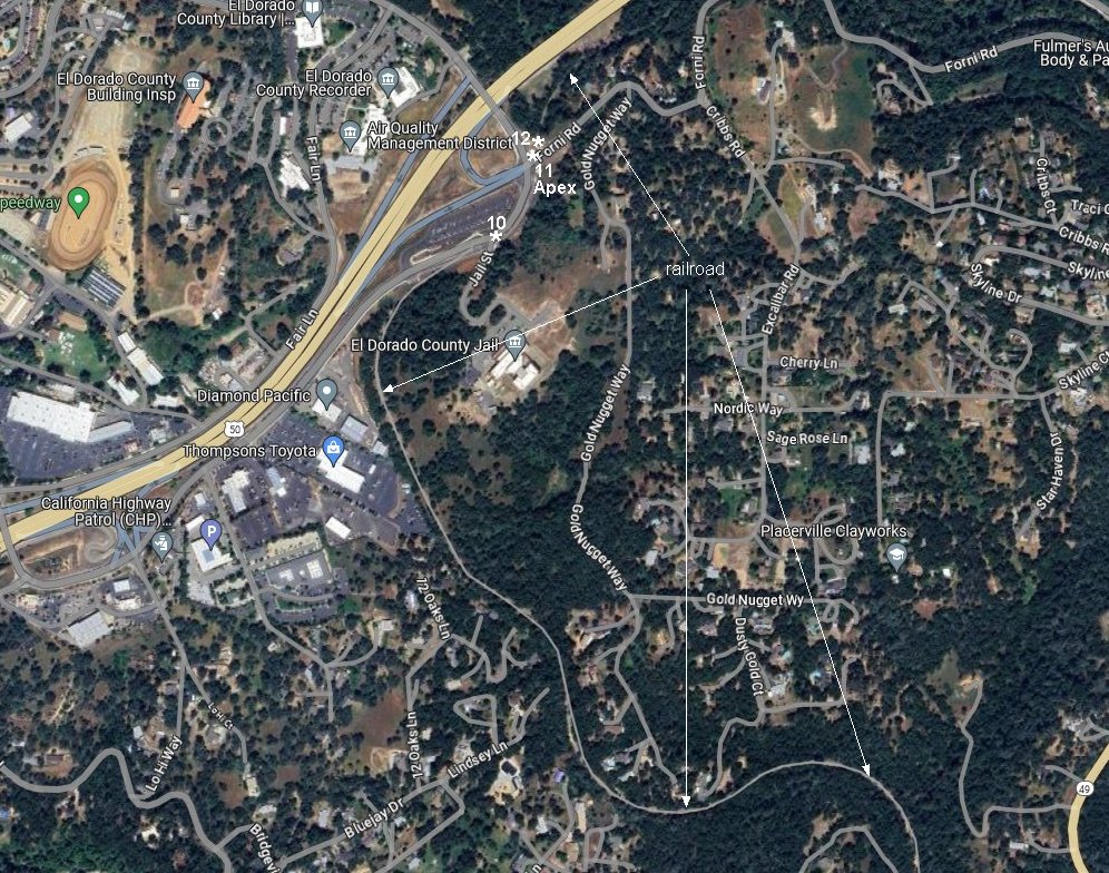
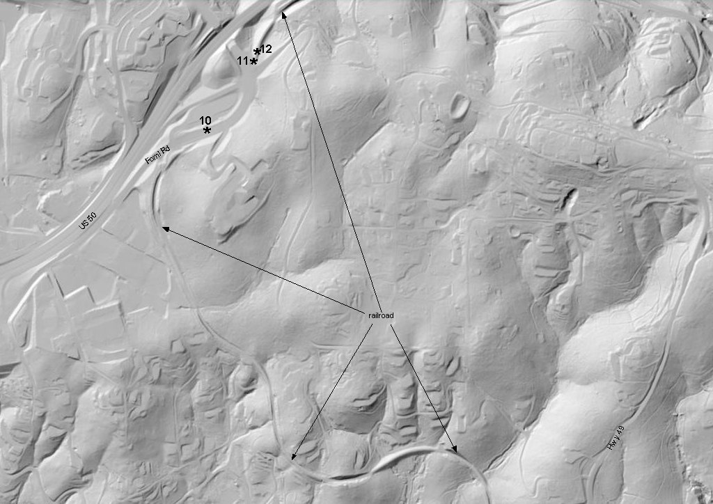
15.-16. Apex Google satellite and USGS Lidar marked with photo locations.
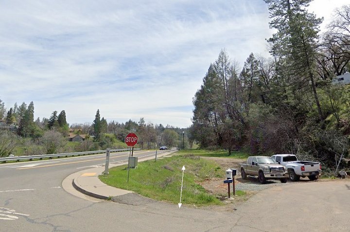
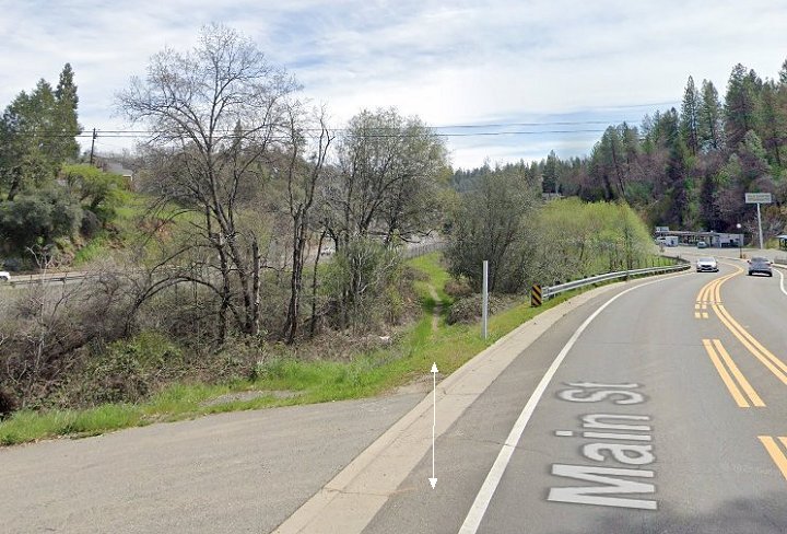
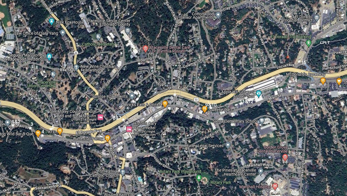
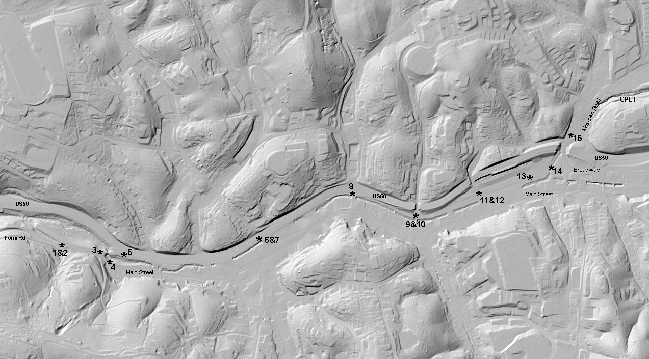
1.-2. View on Google street view from Forni Road and Main looking west, then east.
3. Eastward view along Main St where line crosses Hangtown creek. Google street view.
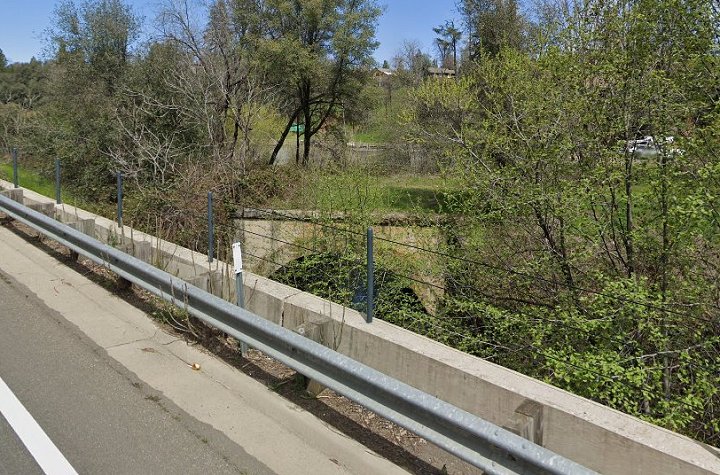
4. Google street view from Main Street of the arch bridge the line uses to cross Hangtown Creek.
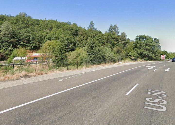
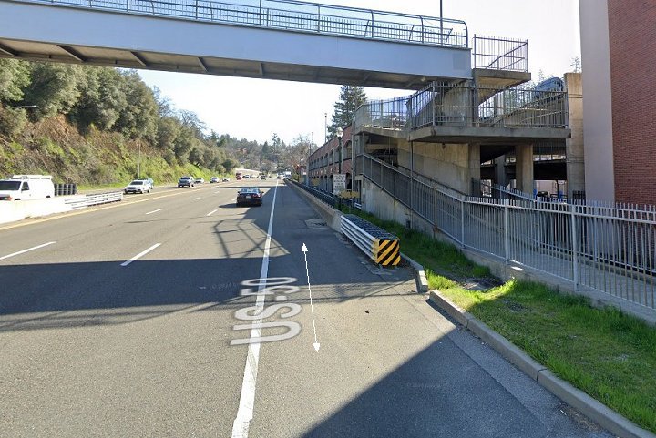
5. Just east of the bridge looking back west in this US50 Google street view. From here east to Bedford Ave, the line is now part of the highway.
6.-7. In these Google street views along US50 at Center Street, the far right eastbound lane was once the right of way.
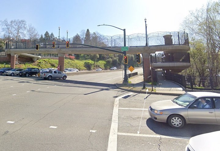
8. The right of way and the highway separate at Bedford Ave as seen here in this Google street view.
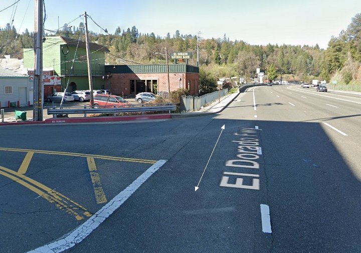
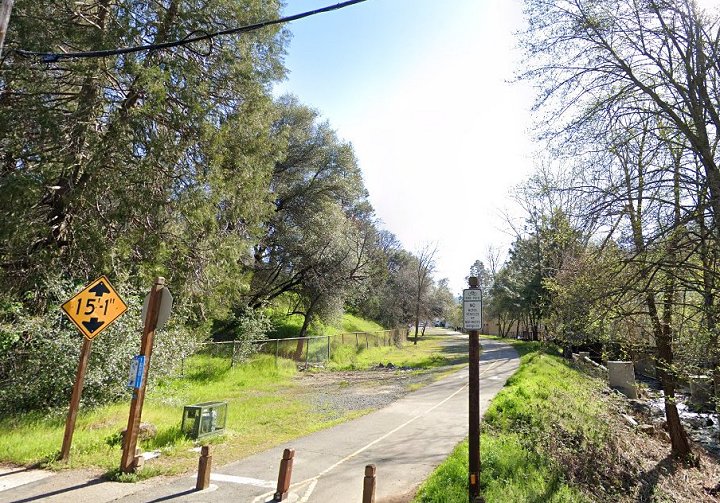
9.-10. West and east Google street views at Clay Street.
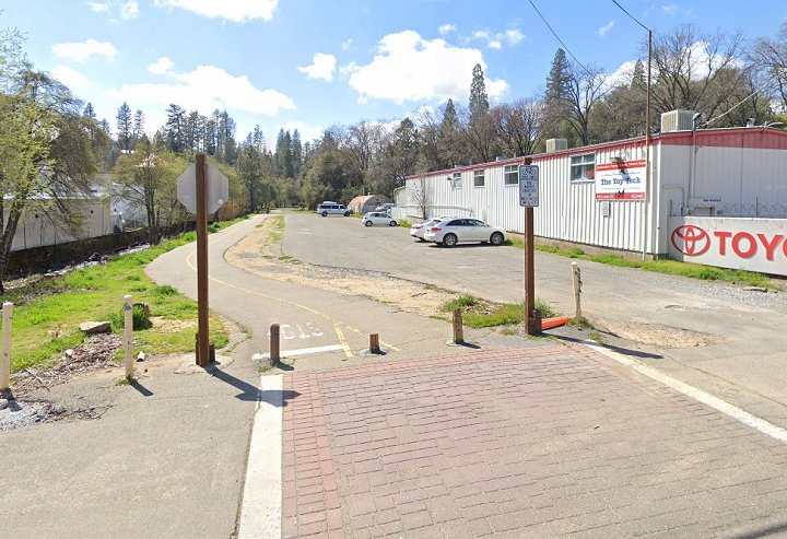
11.-12. West and east Google street views at Locust Ave. This was once a small yard. The SP and Camino Placerville & Lake Tahoe RR interchanged trains here. See the fire insurance map below too.
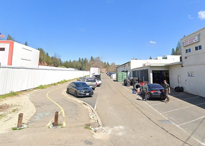
13. The former small yard is now and extension of Broadway. In this Google street view at the eastern end of the yard, we see the turntable site.
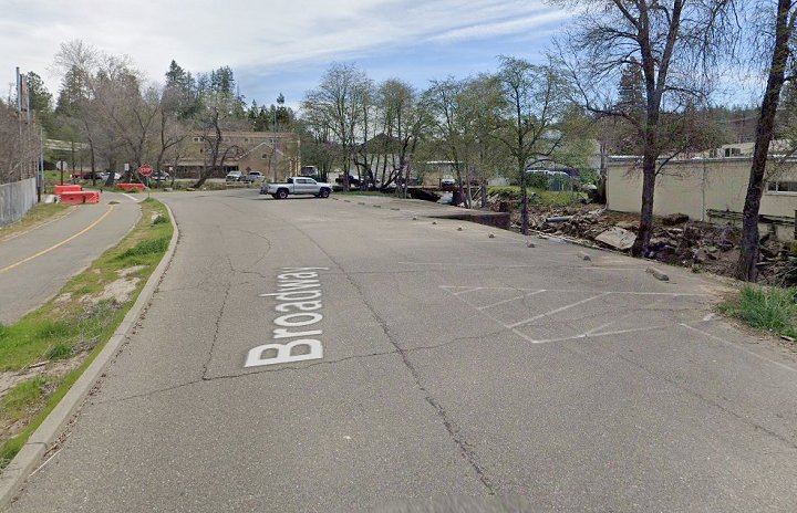
14. Looking north from the turntable site. In this Google street view the line passes under US50 towards the depot site.
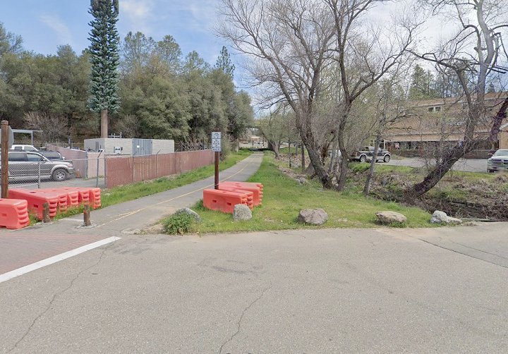
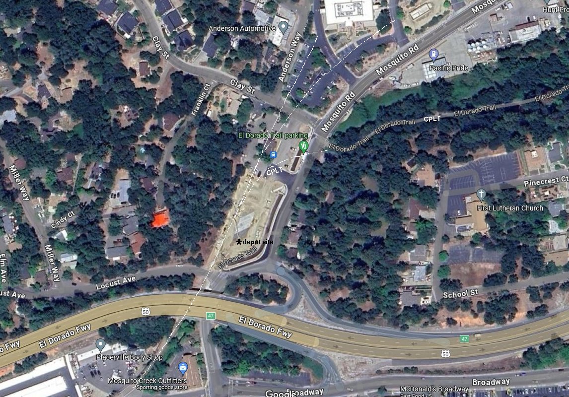
15. End of the line. This is the site of the former SP Placerville depot. Beyond this point were several industrial spurs and the where the CPLT separates form the Placerville Branch.
This site has now been completely leveled removing any relics and now serves as overflow parking for the bus station/depot. Location is on Mosquito Rd just north of Hwy 50.
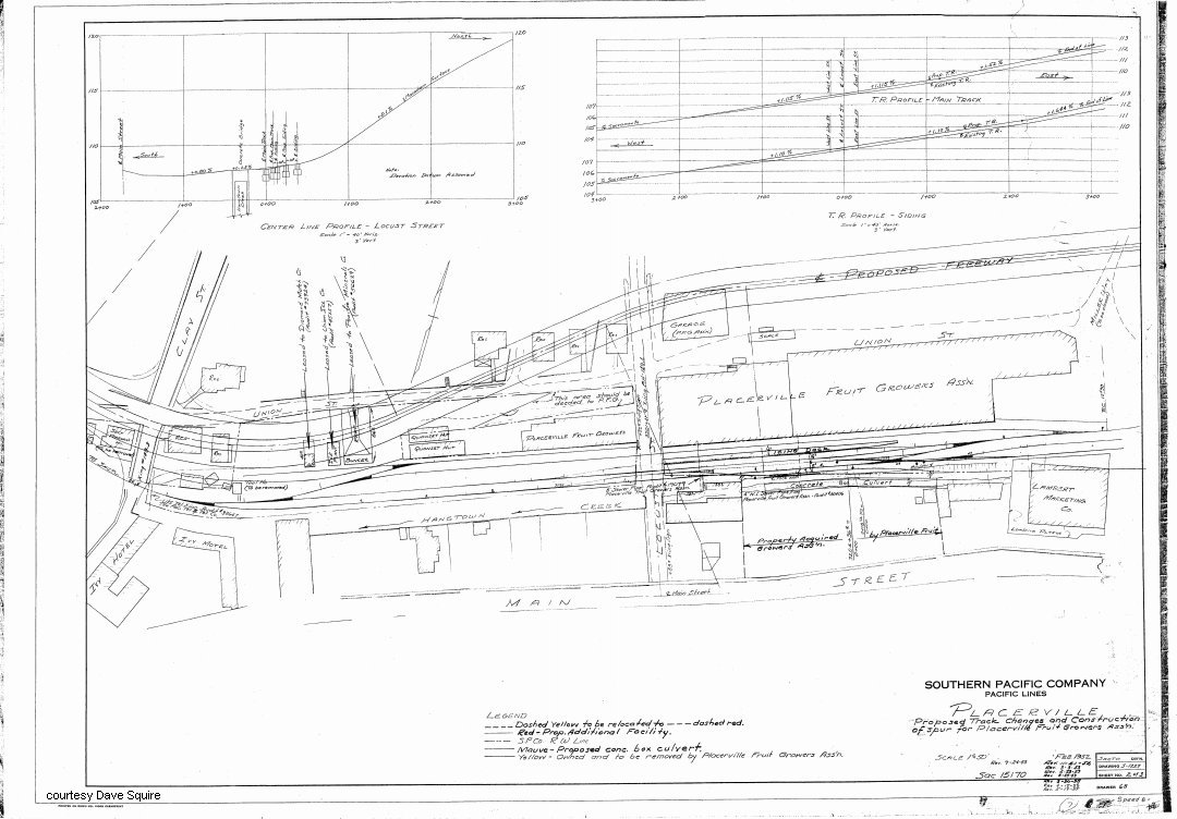
16. Partial 1955 fire insurance map of Placerville showing area of Broadway between Clay St and Mosquito Rd. (courtesy Dave Squire).
17. A closeup Google satellite view of the depot area.
18.-19. Google satellite and USGS lidar views of Placerville marked with the locations of above images.
See my Folsom and Placerville pages for more related photos and info.