TrainWeb.org Facebook Page
B&O Washington Branch Photo Tour


B&O Washington Branch
Modern day photo tour

Accompanying each photo below are:

Click a photo to see a larger view. Please send your comments and corrections to Steve.


<< Previous (part 1) | THIS PAGE: Patuxent Branch | Next (west at main line) >>

Aerial 1938
Photo courtesy Johns Hopkins University
NEW! late-Aug 2020

Aerial 1938
Mile: 19.4, spur's last 2.7 Date: May 1938
Ease: B View: N (up)
Area: A IC2:
Map: Ho 20 A 8 Topographic Maps

During 1902 B&O extended the Patuxent Branch starting at the south side of the Bollman bridge at Savage then upstream to another bridge at Gabbro, then farther to reach granite quarries in the Guilford area.

This aerial covers the remainder of the Patuxent Branch, from Gabbro Bridge at the bottom, then north along the west bank of the Little Patuxent (the stream on the right), up to the quarry at Guilford. The pond that fills the quarry appears near the top-center of this aerial as a dark trapezoid, southeast of a bright pentagonal farm field. Since about 1970, I-95 has cut diagonally through this area from photo-bottom to upper right.


Mill Dam
Photo credit ?
NEW! late-Aug 2020

Mill Dam
Mile: 19.4, spur 1.5 Date: ~1930
Ease: B View: N
Area: A IC2:
Map: Ho 20 A 8 Topographic Maps

Savage Mill's dam is in the foreground, just downstream of where the of the Middle (left) and Little (right) Patuxent Rivers flow together.

Upstream, Gabbro bridge spans the Middle Patuxent. Its design appears similar to the still-extant Guilford bridge that will be seen later in this tour.


Abandoned ROW

Abandoned ROW
Mile: 19.4, spur 1.5 Date: Mar 2000
Ease: B View: N
Area: A IC2:
Map: Ho 20 A 8 Topographic Maps

This is a similar view to the prior, looking upstream about 70 years later. To my knowledge, the mill's dam was removed before Agnes had a chance to do so at no extra charge.

Thanks to a rails-to-trails project starting at the Bollman Bridge, you can now walk the abandoned ROW. The river makes a fair drop here near the Fall Line, which is why the location downstream was chosen for a mill.


Culvert

Culvert
Mile: 19.4, spur 1.6 Date: Mar 2000
Ease: B View: NE
Area: A IC2:
Map: Ho 20 A 7 Topographic Maps

Watch carefully and you'll find a couple of original stone culverts along the route.


Gabbro Bridge

Gabbro Bridge
Mile: 19.4, spur 1.8 Date: Mar 2000
Ease: C+ View: N
Area: A IC2:
Map: Ho 20 A 7 Topographic Maps

At the current end of the rails-to-trails path you'll find these ruins of the bridge that carried the Patuxent Branch over the Middle Patuxent River. An old B&O schedule calls this spot "Gabbro" after the type of rock that was quarried immediately upstream.

Gabbro is a type of igneous rock that often contains a fair amount of iron. In the 19th century it was an important source of iron in the eastern US. A variety called Baltimore Gabbro is commonly found in eastern Howard County.

Link: Geologic Map of Howard County


Northern Abutment

Northern Abutment
Mile: 19.4, spur 1.8 Date: Oct 2001
Ease: C View: NW
Area: A IC2:
Map: Ho 20 A 7 Topographic Maps

You can also hike in from the other (north) side to reach the Gabbro Bridge. Someone has kindly cobbled together a wooden handrail for the steep climb down to the river and look up to get this view.

Notice the unusual foundation construction that appears to be of poured concrete. When this bridge was built, the Savage Mill was still operational, and its dam held back the river to roughly the depth where the granite stones meet the foundation.


Mystery Structure

Mystery Structure
Mile: 19.4, spur 2.2 Date: Oct 2001
Ease: C+ View: NW
Area: A IC2:
Map: Ho 20 A 6 Topographic Maps

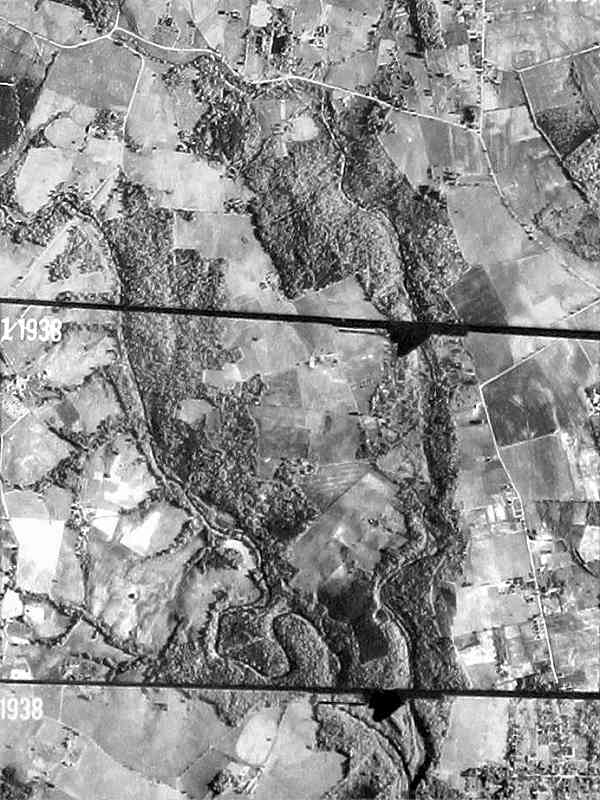
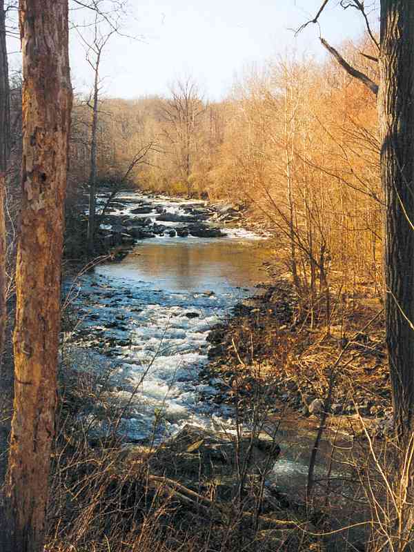
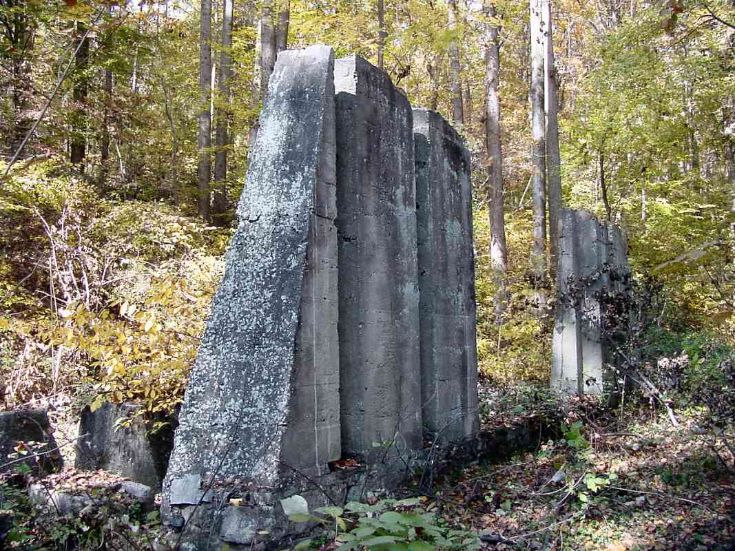
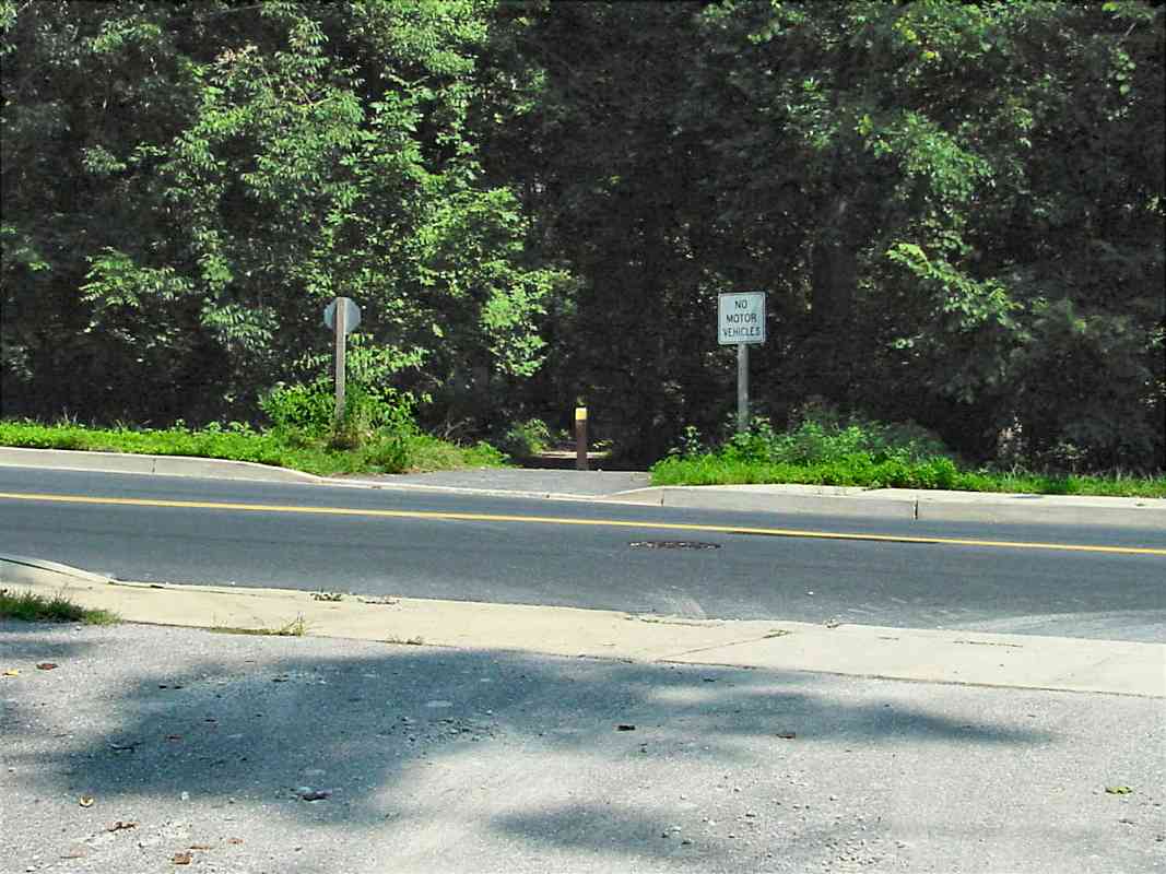
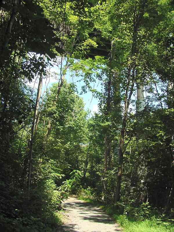
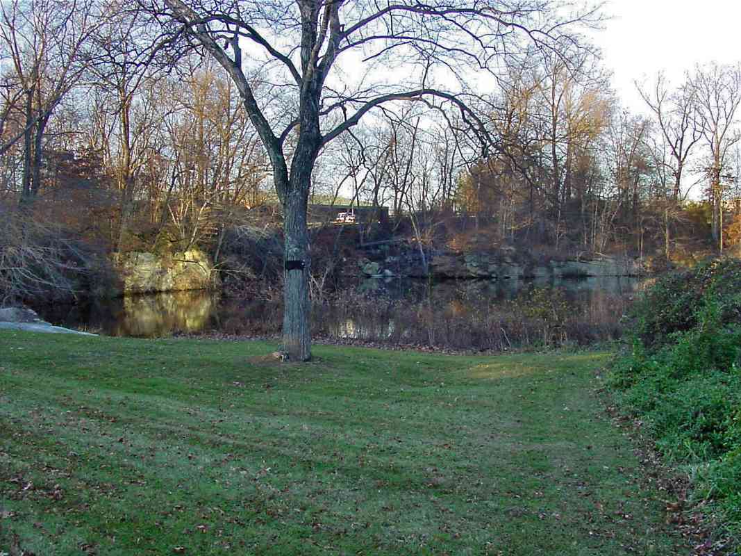
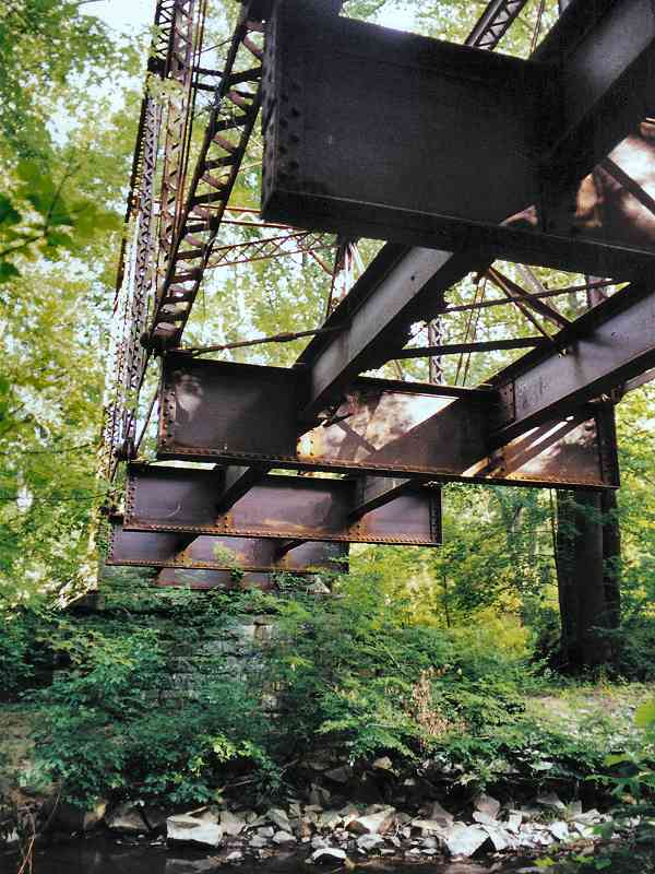
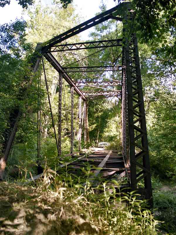
The ROW continues northward, hugging the west bank of the Little Patuxent River. Adjacent to the disused ROW and about midway between 
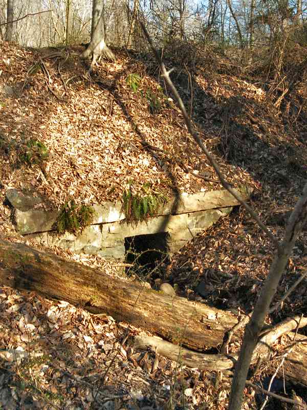
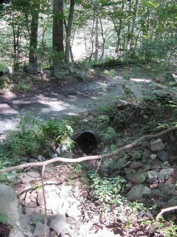
the Gabbro Bridge and Vollmerhausen Road stand what had been puzzling ruins that tower about 10 feet high. The mystery has since been solved. Not seen in this picture is a parallel wall of equivalent height made of stone rather than concrete.

The proximity to the ROW implies it was involved in railroad operations. A coaling tower? This is a remote location for coaling. Might this structure have been involved in water control for Savage Mill's dam system? This idea doesn't fit well either because the mill's dam was downstream.

Instead this structure was part of a quarrying operation run by W. T. Manning.

More information comes courtesy Ken Skrivseth, a volunteer at the Laurel Historical Society that operates the Laurel Museum on Main Street:

    "Back in the 1870's there was a cotton mill in Guilford MD, (probably a small one), so I wonder if some of what you are seeing in your photos might be from a mill dam or mill race from that time. We know about the Guilford cotton mill because we have the diaries of the Laurel Cotton Mill Superintendent from that period, and he (George H. Nye) would travel up to 'The Guilford' as he called it, from time to time, with mill supplies, or to borrow supplies. I will dig through my notes and see what else I may have on it. I think the mill operator at Guilford was named Heath, and there are one or two Heath graves in Guilford at the Alberta Gary (see below) memorial Methodist Church there along old Rt. 32. There is a map from 1878 (a Hopkins Atlas) that shows the Guilford community - I'll try to find a copy, as it will show whether or not there was a rail line back then and will provide you with an idea of how big an operation they had there. From your web pages I suppose that there was no rail line there yet, back in 1878.

    "By the way, Alberta Gary was the daughter of James A Gary, president of James A. Gary & Sons of Baltimore, which operated mills in Laurel, Alberton, and Guilford, among possibly others."

Monica Fortner relayed info on signage in the area:

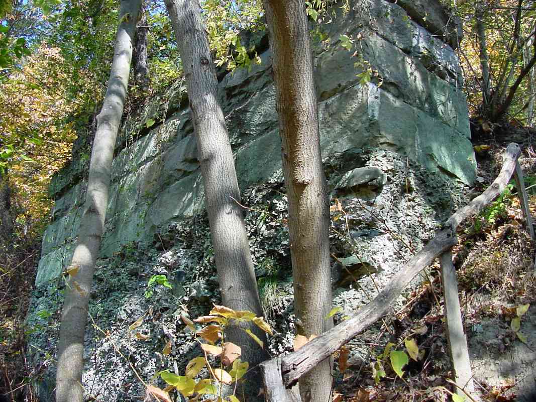
    "The maps of Savage Park call your mystery structure a stone finishing operation. My impression is that granite taken from the nearby quarry was cut to desirable dimensions at teh stone finishing operation and then loaded onto trains. The Park has identified large metal coils on the hill above the mystery structure. The coils supposedly held wood planks forming a water holding tank. There is also a pipe leading from the water holding tank down towards the mystery structure. The information on the kiosk at the Wincopin entrance to Savage Park says that the water was used to cool the saws at the stone finishing operation below."

During 2019 Wayne Davis wrote:

    "I am working with the Maryland Historical Trust to expand the Savage and Guilford Districts to include the stone crushers, etc. I also have that 
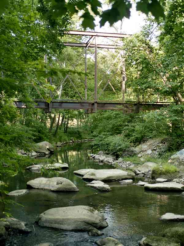
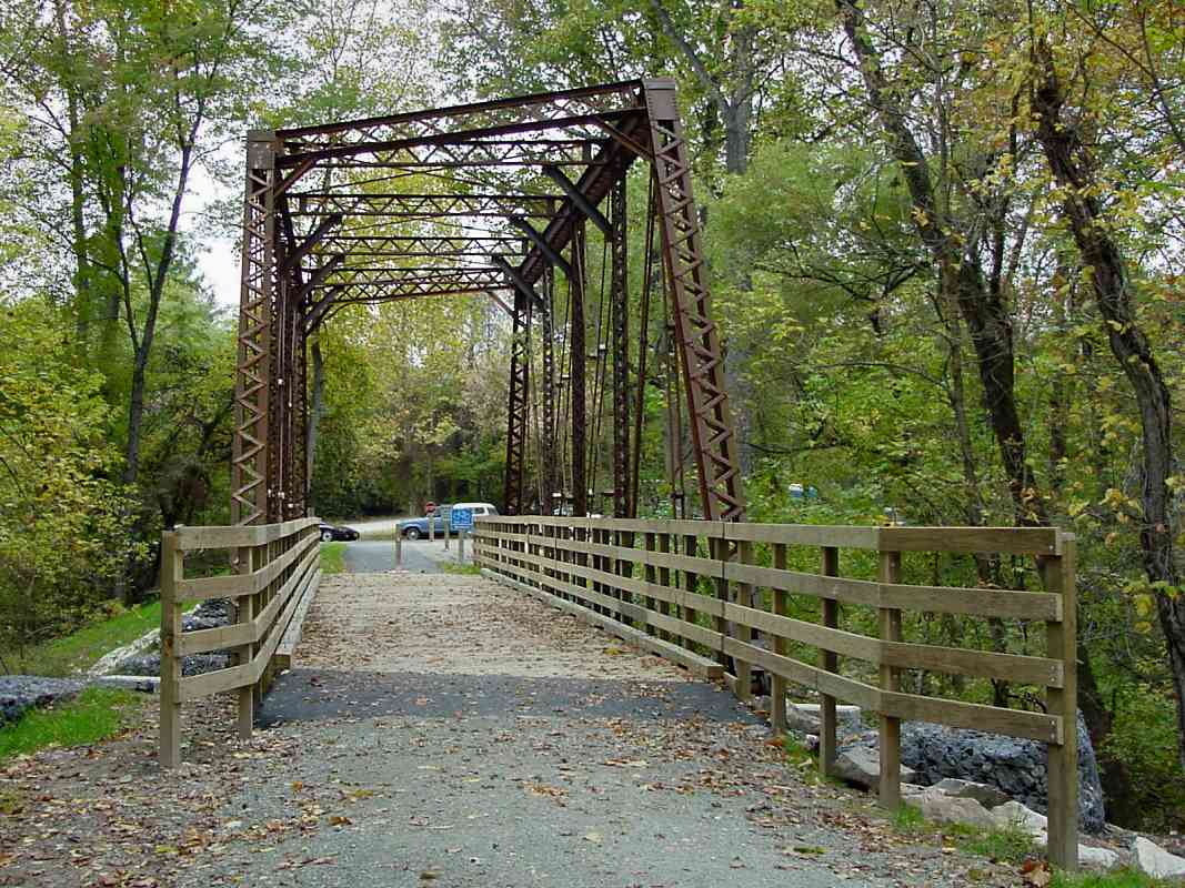
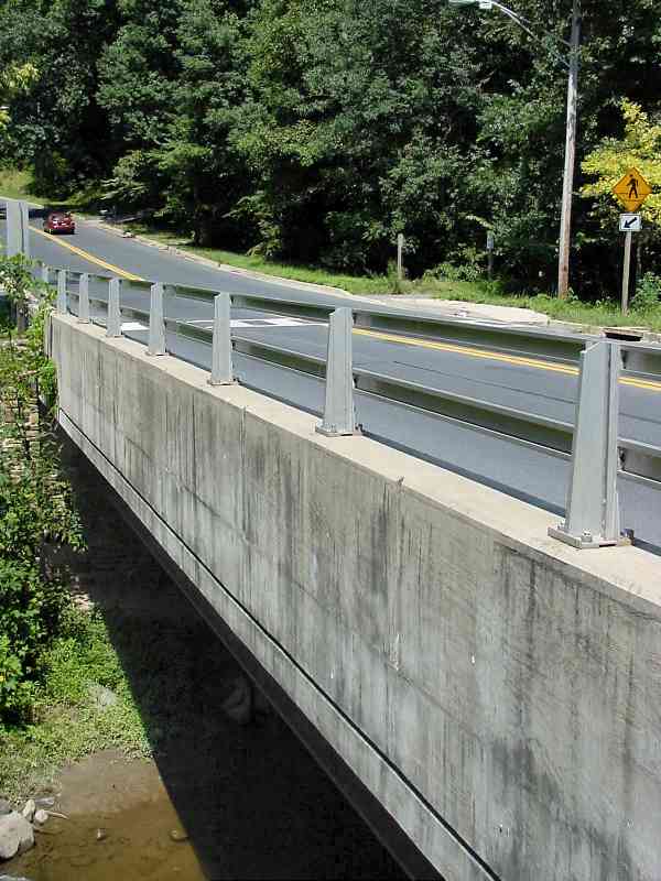
photo showing the Gabbro Bridge (named for the Gabbro train stop whose siding extended to almost on the bridge) - the abutments were made of Guilford granite but the stone in the area being quarried was gabbro - basically south of Vollmerhausen Road was gabbro and around Guilford it was all granite."

Link: historical info from Friends of Guilford


Vollmerhausen Road
Updated late-Aug 2020

Vollmerhausen Road
Mile: 19.4, spur 2.6 Date: Aug 2001
Ease: A View: NE
Area: A IC2:
Map: Ho 20 A 5 Topographic Maps

at Little Patuxent River 2001 "What railroad? Where?"

That's the comment I'd expect from most people who now drive past this spot where Vollmerhausen Road crosses the Little Patuxent River. Both time and the energies of cleanup crews have removed virtually all traces of the railroad. The former ROW is now the rails-to-trails path that resumes on the north side of Vollmerhausen Road.

On September 24, 2001, the F3 tornado that struck College Park and Laurel also plowed through here and toppled many trees.

Link: Wikipedia about this tornado


Path

Path
Mile: 19.4, spur 2.7 Date: Aug 2001
Ease: B+ View: N
Area: A IC2:
Map: Ho 20 A 5 Topographic Maps

The path is quite scenic; only the straight-arrow route hints that a railroad once travelled here. Note to self: return during autumn leaf season. Subsequent note: the September 2001 tornado downed many trees, branches and leaves here, so the autumn colors were not what they could have been.


Spider

Spider
Mile: 19.4, spur 2.8 Date: Aug 2001
Ease: B View: W
Area: A IC2:
Map: Ho 20 A 4 Topographic Maps

Cobwebs are an appropriate reminder that this area hasn't seen a train for over 70 years. Here a spider enjoys the prior night's catch from a position above a small, forgotten patch of ballast, the only railroading artifact I could find along this stretch. The railroad name for this locstion was Specht.

During the 1960s, while the Rouse Company was forming the town of Columbia, it considered a plan to revive the Patuxent Branch to attract industry, and jobs, to the Guilford area. Instead, an entirely new line, the Columbia Branch, was constructed into the east side of the new town.


I-95

I-95
Mile: 19.4, spur 3.1 Date: Aug 2001
Ease: B View: NW
Area: A IC2:
Map: Ho 20 A 4 Topographic Maps

The noise of traffic high above is your first warning of approaching I-95, that is otherwise shrouded by foliage. Note the cement columns of the highway bridge at center right.


New Culvert

New Culvert
Mile: 19.4, spur 3.6 Date: Sep 2001
Ease: B View: SE
Area: A IC2:
Map: Ho 20 A 3 Topographic Maps

Unfortunately, on this portion of the path the original stone culverts have been replaced by ugly, modern galvanized pipes, like that seen in this shadows at center.

For several hundred feet, the riverside edge (far edge in this photo) of the path is lined with large stones, some of which show evidence of drilling. Records say a siding for B.F. Pope Stone company had existed in this vicinity.


Guilford Bridge
Updated late-Aug 2020

Guilford Bridge
Mile: 19.4, spur 3.9 Date: Jul 1999
Ease: B View: E
Area: A IC2: 343
Map: Ho 19 K 2 Topographic Maps

looking south 1999 Almost 4 miles from where the Branch began in Savage is where you'll find this rusty bridge over the Little Patuxent River. It is located in the Guilford area of Columbia, and until the 1920s spanned the river to serve the granite quarries that operated in the vicinity of what is now Gerwig Lane. It can be found near where Old Guilford Road meets Guilford Road just west of where the latter crosses under Maryland 32.

Reader J. Dave Baker wrote to say:

    "Utterly, totally fascinating website!

    looking south 1999 "I have thought of many things and wondered about them for years, but one of the things I have wondered the most about was an old abandoned steel bridge at Guilford. When I went through your site and found that picture the other day, I was stunned! I couldn't wait to show my wife when she got home from work. My dad and I used to park directly across from that bridge and he would walk up into the quarry area. He would make me wait in the car. He told me that he used to swim there as a child. You site shows what it looks like now and it is unrecognizable from what I remember it to be although the bridge looks exactly the way I remember it, (except that the river looks much lower than I remember it to be)."

Link: Real-time USGS stream flow data near this location


Trail

Trail
Mile: 19.4, spur 3.9 Date: Oct 2002
Ease: A- View: N
Area: A IC2: 343
Map: Ho 19 K 2 Topographic Maps

During 2002, the bridge was overlaid with a wooden path to incorporate it into a rails-to-trails path connecting Columbia and Savage. You can walk and bike across the bridge. It's great this old railroading artifact has found a new life.

That was not the first time this bridge was repurposed. Railroad valuation records from 1919 say the structure was moved here from another B&O location; back then, doing so was efficient due to low labor costs, but now it would be called green. Had Marriott's Great America theme park been built in this area as planned during the 1970s this bridge probably would have been scrapped.

Links: Preservation effort, Marriott's Great America


PBT Sign

PBT Sign
Mile: 19.4, spur 3.9 Date: Jun 2005
Ease: A- View: E
Area: A IC2:
Map: Ho 19 K 2 Topographic Maps

This county parks department sign documents the history of the Patuxent Branch Trail. Someone even dug up (heh) a few old pictures of the Guilford Quarry. Nice job!


Old Guilford Road

Old Guilford Road
Mile: 19.4, spur 4.0 Date: Aug 2001
Ease: A View: N
Area: A IC2:
Map: Ho 19 K 2 Topographic Maps

The development of Columbia all but erased the continuance of the Patuxent Branch's ROW. The repurposed bridge is behind the photographer in this view of the intersection of Guilford Road and Old Guilford Road. I believe the ROW had continued along the left edge of the office building across the street.


Quarry Pond

Quarry Pond
Mile: 19.4, spur 4.1 Date: Dec 2002
Ease: A View: N
Area: A IC2:
Map: Ho 19 K 2 Topographic Maps

One of the former quarry's excavations now creates a scenic pond for the office building seen in the prior photo. I believe the Patuxent Branch terminated close to here on the right side of this pond. Present-day, multilane Maryland 32 east of Broken Land Parkway traverses just beyond the rear edge of the pond.


Quarry Remains

Quarry Remains
Mile: 19.4, spur 4.2 Date: Aug 2001
Ease: A View: E
Area: A IC2:
Map: Ho 19 K 1 Topographic Maps

A large boulder serves as a reminder that the Maryland Granite Company and the Howard Granite Company, that operated here until the 1920s, were the endpoint of the Patuxent Branch.

Behind the trees at the center of this photo is the endpoint of the more modern Columbia Branch whose route is followed by another tour page.


<< Previous (part 1) | THIS PAGE: Patuxent Branch | Next (west at main line) >>

Or, return to main page

Copyright Notice