TrainWeb.org Facebook Page
PRR / Amtrak Photo Tour


PRR / Amtrak in Maryland
Modern day photo tour

Accompanying each photo below are:

Click a photo to see a larger view. Please send your comments and corrections to Steve.


Special Note: >>> The places described on this page host quiet, high-speed trains. Stay well clear! <<<

<< Previous (northeast) | THIS PAGE: Ivy City | Next (south) >>

Map Ivy City 1919
Image courtesy Library of Congress

Map Ivy City 1919
Mile: Date: 1919
Ease: View: N (up)
Area: T6: 356
Map: DC 10 Topographic Maps

This tour page begins where the railroads enter near the top right corner and proceeds generally west and southwest through Ivy City and most of Washington Terminal toward Union Station. Per this map, Washington Terminal's landowner was/is The Real Estate & Improvement Company of Baltimore.

Link: LoC source image


Shared RoW

Shared RoW
Mile: 133.9 Date: Dec 2018
Ease: A View: NE
Area: B- T6:
Map: DC 10 H 11 Topographic Maps

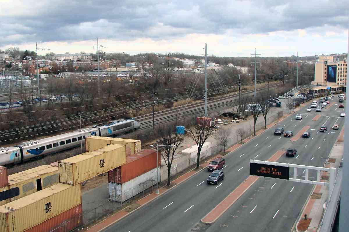
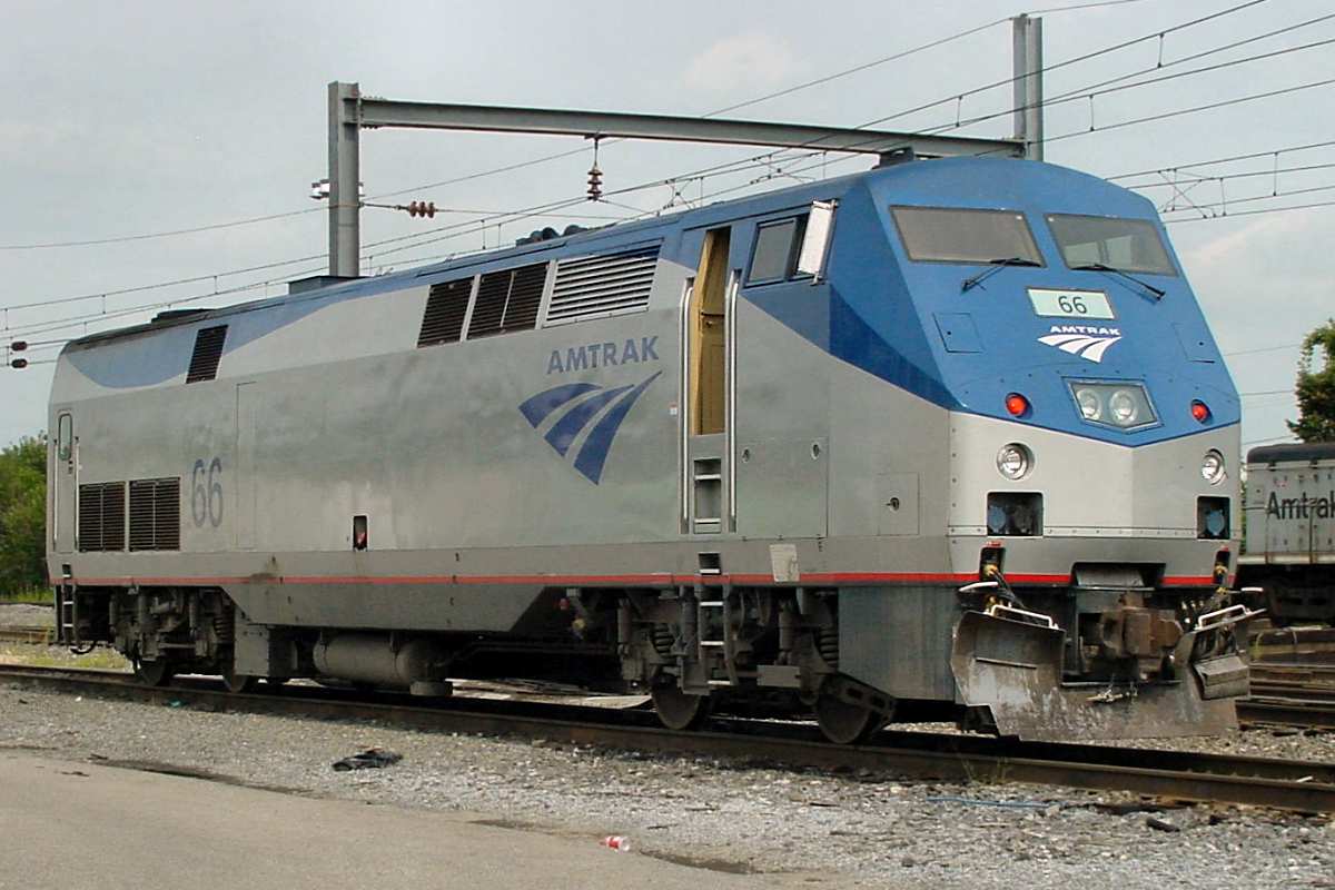
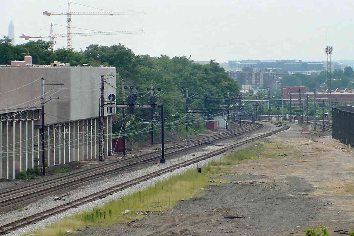
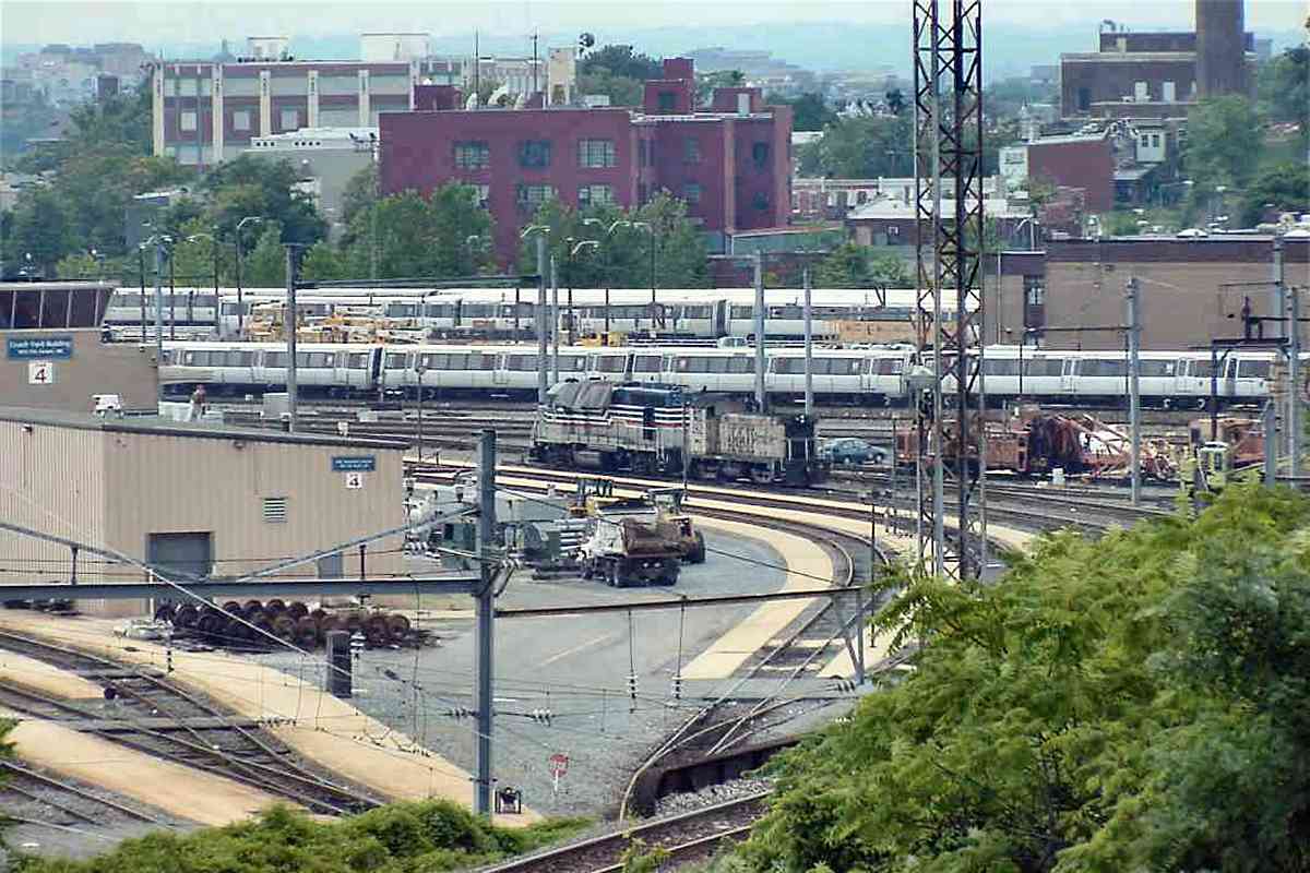
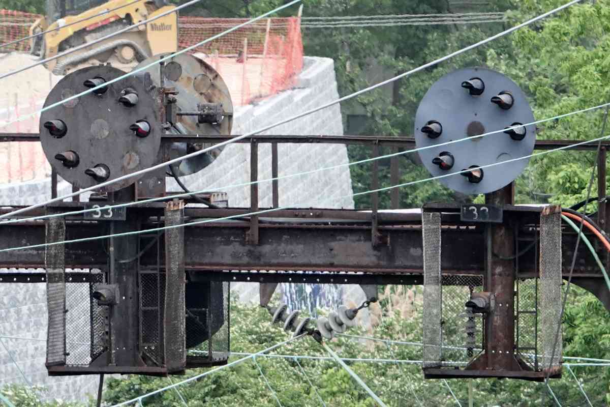
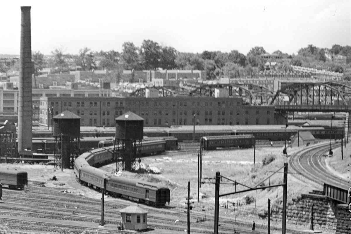
Northbound AMTK 2024 is speeding toward the Quality Inn near New York Avenue and 16th Street NE where during the early 1900s former railroad foes B&O and PRR met to share a then-new route into downtown Washington, DC (behind the photographer); for MARC commuters the two lines that met now go by the names Camden and Penn.

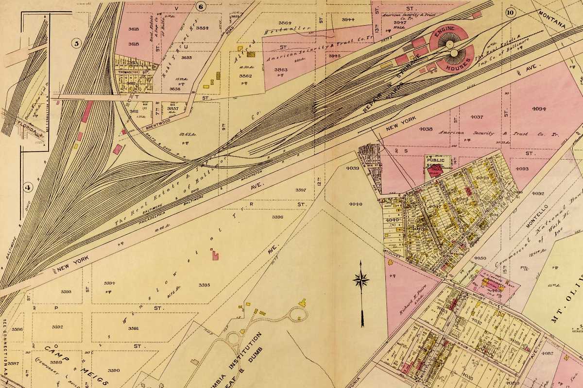
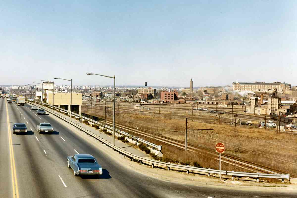
Initially, B&O enjoyed a monopoly on railroad service to Washington, but eventually Pennsy muscled in. Each RR had its own DC station, making the downtown area and Mall busy with steam engines, unsightly steam engines according to the politicians.
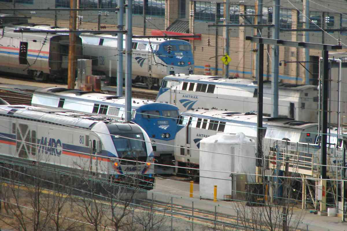
In 1903 they "encouraged" the railroads to build a single, joint station, and in 1907 Union Station opened. Under the auspices of Washington Terminal Company, B&O and Pennsy constructed a new approach to the station, and for the next 3 or so miles tracks originating with the two competitors still mingle.

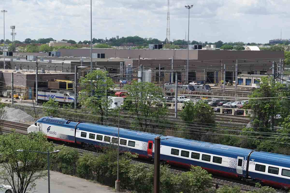
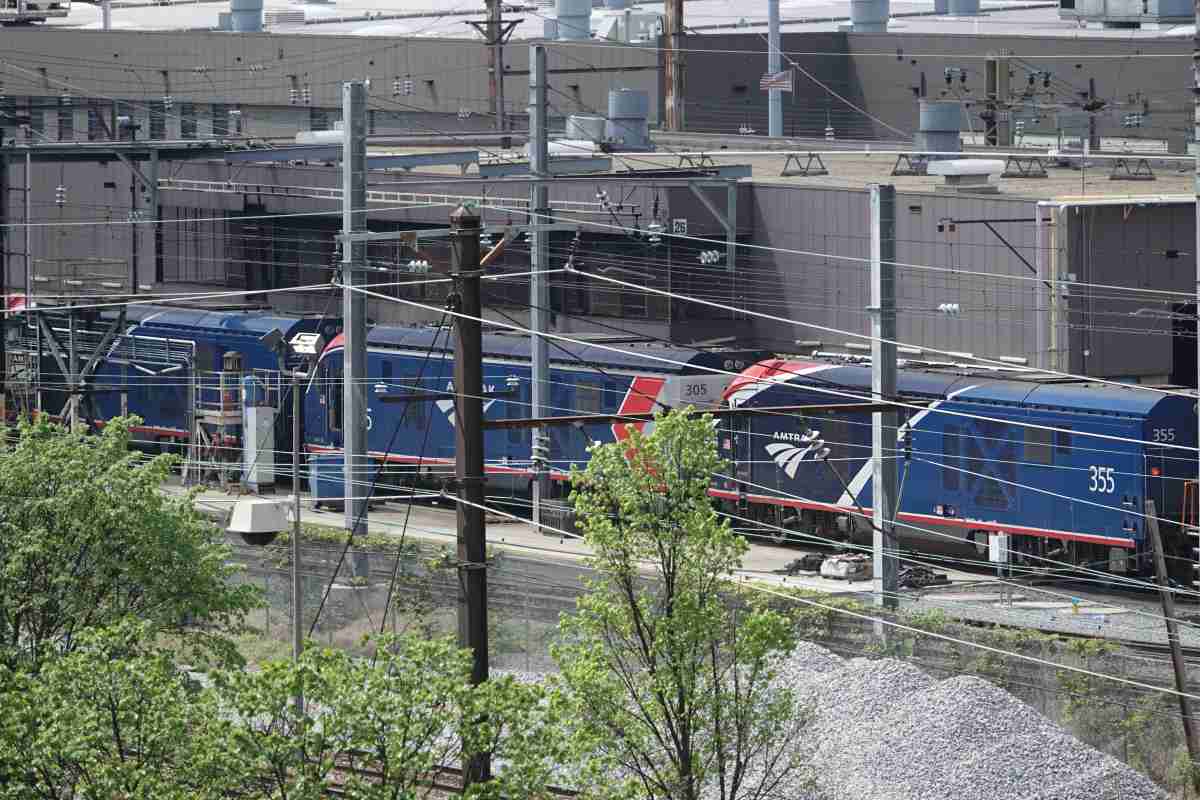
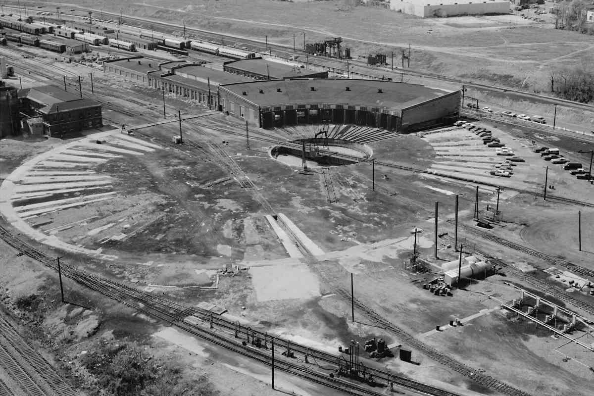
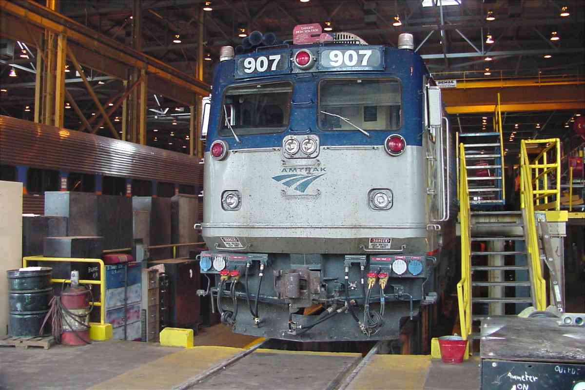
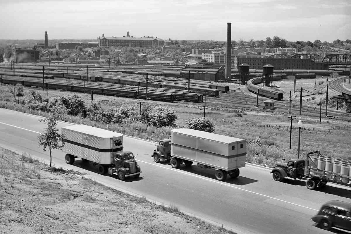
On the left is the eastern limit of railroad maitenance facilities known as Ivy City Yard.

Link: 1975


Ivy City

Ivy City
Mile: 133.9 Date: Dec 2018
Ease: A View: W
Area: B- T6:
Map: DC 10 H 11 Topographic Maps

Southbound AMTK 2000 is rolling away from the camera as it passes Amtrak's Ivy City maintenance shops. The facility dates to 1901 as a joint project of B&O and PRR during the period when PRR owned enough B&O stock to control it. The two railroads formed a third, engines the Washington Terminal Company, to oversee the operations in Washington, including at a Union Station that had not yet been constructed.

The containers adjacent New York Avenue at bottom left of the main photo are part of "Hecht Town", essentially a publicity stunt to promote the redevelopment of the former Hecht Company warehouse on the south side of New York Avenue.

At the right had been two roundhouses and two engine turntables.


Roundhouses
Photos courtesy Library of Congress

Roundhouses
Mile: 134.0 Date: ~1975
Ease: B+ View: NW
Area: B- T6: 357
Map: DC 10 H 11 Topographic Maps

roundhouse Ivy City's dual roundhouses had room for dozens of engines and other rolling stock. The near roundhouse was demolished during the 1950s, the far one lasted into the 1980s. Both were built on what had been the infield of Ivy City horse racing track, a casualty of the temperance movement of the 1890s that put it out of business. As of 2019 only one turntable remains extant.

Links: LoC source photo, twin, Shorpy


Coaling Tower
Photo courtesy District Department of Transportation (DDOT) Library

Coaling Tower
Mile: 134.1 Date: 1950
Ease: View: W
Area: C T6: 360
Map: DC 10 G 11 Topographic Maps

From the post card, "A Pennsylvania GG-1 electric, a Chesapeake and Ohio Hudson, a Baltimore and Ohio early EMD Diesel, and a B&O Pacific type steam locomotive. Photographed at Washington Terminal's Ivy City coaling station. Washington, D.C., 1950. Photograph by Leonard W. Rice."

Before being demolished during the mid-1950s, this coaling tower had stood just west of the roundhouses at a location now occupied by the southernmost bays of Ivy City's maintenance shops.

Links: DDOT source photo, Amtrak


Switchers

Switchers
Mile: 134.0 Date: Jul 2005
Ease: B View: SE
Area: C T6:
Map: DC 10 G 11 Topographic Maps

Switchers AMTK 798 and AMTK 558 hide part of the Hecht Company warehouse built in Streamline Moderne style during 1937. The Hecht Company was founded in Baltimore during 1857, and became one of the area's major department store chains. During the month after this photo, the Hecht chain was purchased and many stores were soon renamed Macy's. Hecht's Save More Gas New York Avenue warehouse fell into disuse at that time, then sat vacant about a decade until repurposed into a mixed-use retail and residential complex.

With its distinctive shape and rooftop water tank, the Hecht building is a handy reference point in photos all around Ivy City, such as this DDOT one at Save More Gas along New York Avenue circa 1960, the last era gasoline prices were under 30 cents per gallon.

Link: DDOT source photo


Amtrak 907

Amtrak 907
Mile: 134.1 Date: Jul 2005
Ease: B View: SW
Area: C T6:
Map: DC 10 G 11 Topographic Maps

AMTK 907 gets reinvigorated at Ivy City's train spa.


Ivy City Yard

Ivy City Yard
Mile: 134.5 Date: Jul 2005
Ease: C View: E
Area: C- T6:
Map: DC 10 F 11 Topographic Maps

This view looks back into the yard from the 9th Street overpass. Amtrak can access it only by crossing over the ex-B&O line, something done just north of Washington's Union Station.

The 9th Street overpass offers enough views to make any railfan's mouth water, but there is a reason this area is called the "holy grail of railfanning". Lots of trains, yes, but no place to park, a rough neighborhood, and if that wasn't enough, a once anthrax-contaminated post office (yes, this is where you can find the infamous Brentwood Postal Facility).

Link: Ivy City Yard


Amtrak 2036

Amtrak 2036
Mile: 134.4 Date: Jul 2005
Ease: B View: E
Area: C T6:
Map: DC 10 G 11 Topographic Maps

While under repair, AMTK 2036 does its best grasshopper imitation. This is the same train seen at the left of the prior photo.

Link: 1956


Mail Car

Mail Car
Mile: 134.4 Date: Jul 2005
Ease: B View: SE
Area: C T6:
Map: DC 10 G 11 Topographic Maps

That white arm at one door reveals this to have been a mail car, one likely belonging to PRR. During 1838 the United States Congress declared all railroads to be official postal routes. A contract to carry mail was so lucrative that some smaller railroads were able to stay in business only because of it.

mail car interior While the train was moving the car's arm would snag a sack of mail hanging trackside, then workers inside the car would sort its letters by destination. It was not a job for anyone with a tendency for motion sickness. Those jobs faded during the 1960s as the US Post Office phased out Railway post office (RPO) service in favor of trucks.

Many mail cars shared duty with or were repurposed into baggage cars.

Links: baggage cars, RPO cars


American View Car

American View Car
Mile: 134.4 Date: Dec 2018
Ease: A View: E
Area: C T6:
Map: DC 10 F 11 Topographic Maps

This unit began life in 1988 as a prototype Viewliner sleeper car built in an Amtrak-Budd partnership. During 2014 it was converted to a theater car and renumbered 10004. On paper, Amtrak classifies the car as a Maintenance of Way unit.

Link: American View


Amtrak 794

Amtrak 794
Mile: 134.5 Date: Dec 2018
Ease: A View: SE
Area: C T6:
Map: DC 10 F 11 Topographic Maps

Washington Terminal Company livery makes this rebuilt SW1000R stand out as it rolls under 9th Street. Even its exhaust is bluish. Built in 1953, in a previous life "WATC 794" was Montour 83. It's job is to push and pull rail equipment around anywhere within Washington Terminal, and that includes Ivy City. WT Co. is almost wholly owned by Amtrak.

Links: MTR 83, more 794 pics


Side-By-Side

Side-By-Side
Mile: 134.5 Date: Jul 2005
Ease: C View: E
Area: C- T6:
Map: DC 10 F 11 Topographic Maps

The uncooperative (for railfanning) 9th Street overpass provides an overhead look back about a mile along the south side of Ivy City yards. In this reverse view the ex-B&O (now CSX) tracks are on the left and the electrified ex-Pennsylvania RR tracks (now Amtrak) are on the right.

At the bottom of the photo, note the pair of ex-B&O tracks bends to the left: they are part of the large wye that now connects with CSX's Metropolitan Subdivision. The switch at the bottom leads a single track into Union Station.

Prior to the Magruder Branch and shared route to Union Station, B&O's right of way had continued across what has become New York Avenue, passing close to the Hecht Company warehouse seen on the right.

Link: 9th Street 1975 rebuild


View West

View West
Mile: 134.5 Date: Jul 2005
Ease: C View: W
Area: C- T6:
Map: DC 10 F 11 Topographic Maps

Looking the opposite direction (west) from the overpass...

The dual PRR tracks are on the left, along with the single B&O track to Union Station. Below is the CSX wye track that connects to the Metropolitan Branch.

looking west, March 1971 Amtrak's Coach Yard is on the right. Yes, that blue sign at left represents a Howard Johnson Inn that as of 2018 still survives along New York Avenue.

The March 1971 DDOT photo at left looks west over the same yard from a vantage point along New York Avenue at 9th Street. Among other things, the photo reveals that HoJos is not an original: in 1971 the motel had been named Congress Inn. Rail passenger service approached its nadir during the early 1970s, hence the dearth of rail equipment in the yard.

Link: DDOT source photo


Zoom Left

Zoom Left
Mile: 134.5 Date: Jul 2005
Ease: C View: SW
Area: C- T6:
Map: DC 10 F 11 Topographic Maps

Ahead the tracks bend toward Union Station.

That's the top of the Washington Monument at the upper left corner.

At center left is an unusual set of signals, as described below.


Zoom Right

Zoom Right
Mile: 134.5 Date: Jul 2005
Ease: C View: NW
Area: C- T6:
Map: DC 10 F 11 Topographic Maps

Back at the 9th Street overpass... the Amtrak Coach Yard occupies the western end of Ivy City. West of that is a DC Metro yard. Switcher AMTK 562 is near photo center, next to a striped Virginia Railway Express engine.

As a location reference, that's the CSX Metropolitan Subdivision wye track at bottom.


Yard 1940
Photo courtesy Library of Congress

Yard 1940
Mile: 134.5 Date: Jun 1940
Ease: B View: W
Area: C- T6:
Map: DC 10 F 11 Topographic Maps

For over a century this area has been used to store coaches since there has always been insufficient room closer to Union Station.

Yes, at bottom that's the Met Branch wye connection in its B&O days.

Link: LoC source photo


Across NY Avenue
Photo courtesy Library of Congress

Across NY Avenue
Mile: 134.5 Date: Jun 1940
Ease: B View: NW
Area: B- T6:
Map: DC 10 F 11 Topographic Maps

zoom In this view B&O's wye track is elevated at right. Those dual water tanks were high volume ones that could refill a thirsty tender in one minute. When steam engines went away, so did these tanks. The distant bridge had carried T Street over all the trackage from 1907 until it was demolished during 1974 to make room for DC Metro's Red line.

The smokestack belongs to a power house that supplied steam to various buildings around the yard. It is visible in several photos on the next page.

Links: LoC source photo, 1940, T Street bridge demo 1974, T Street bridge


<< Previous (northeast) | THIS PAGE: Ivy City | Next (south) >>

Or, return to main page

Copyright Notice