TrainWeb.org Facebook Page
B&O Photo Tour


B&O Philadelphia Branch
Modern day photo tour

Accompanying each photo below are:

Click a photo to see a larger view. Please send your comments and corrections to Steve.


<< Previous (west) | THIS PAGE: Van Bibber to Aberdeen | Next (east) >>

Edgewood Road

Edgewood Road
Mile: 72.4 Date: Jul 2016
Ease: A View: NW
Area: A RBL:
Map: Topographic Maps

The line's single-lane underpasses will probably be widened during the 21st century.

Link: 1945


CSX 7816
Photo courtesy Dave Hiteshew

CSX 7816
Mile: 69.9 Date: Apr 2010
Ease: A View: NE
Area: A RBL:
Map: Topographic Maps

The Abingdon Road overpass is a nice platform for train watching.


CSX 8146
Photo courtesy Dave Hiteshew

CSX 8146
Mile: 69.9 Date: Apr 2010
Ease: A View: N
Area: A RBL:
Map: Topographic Maps

Readers asked for an overhead view of an engine...


Doll Post
Photos courtesy Dave Hiteshew

Doll Post
Mile: 69.9 Date: Apr 2010
Ease: A View: SW
Area: A RBL:
Map: Topographic Maps

zoom

A doll post is the upright arm on a signal pole between the main signal head and a dwarf CPL. It notifies train operators that each signal controls a different track. Masts with doll posts were made taller than others for better visibility from either track.

Here at East Van Bibber the B&O had considered a building a line called the Patapsco and Susquehanna Branch which would have connected to the Old Main Line east of Sykesville near Gorsuch, thus bypassing busy Baltimore and its Howard Street Tunnel bottleneck. The project did not get past the planning stage.

The Van Bibber siding is roughly 2 miles long.


Newer Signals

Newer Signals
Mile: 69.9 Date: Jul 2016
Ease: A View: SW
Area: A RBL:
Map: Topographic Maps

CSX's newer signals do not employ doll posts, instead each track gets a signal on a separate pole.


James Run

James Run
Mile: 69.0 Date: Apr 2022
Ease: A- View: N
Area: A RBL:
Map: Ha Topographic Maps

bridge 22A The bridge over James Run is notable for having its 22-A bridge number embossed in concrete. This is the only such example of which I am aware. Found another? Let me know.

The length of unsupported steel is also uncommon. I believe the stone portion dates to original line construction, with the concrete and steel coming later.


Riverside Parkway

Riverside Parkway
Mile: 67.8 Date: Apr 2022
Ease: A- View: SW
Area: A RBL:
Map: Ha Topographic Maps

All the busier roads, such as Riverside Parkway, were grade separated during the 20th century.


Private Xing

Private Xing
Mile: 67.8 Date: Apr 2022
Ease: A- View: W
Area: A RBL:
Map: Ha Topographic Maps

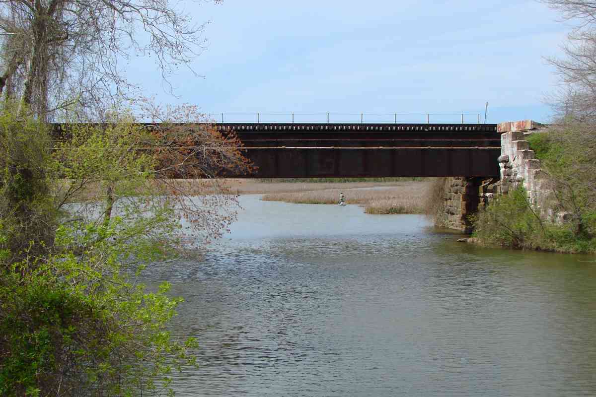
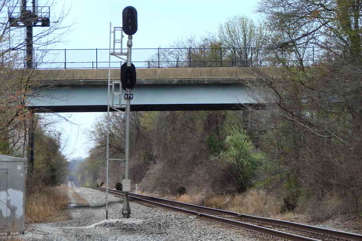
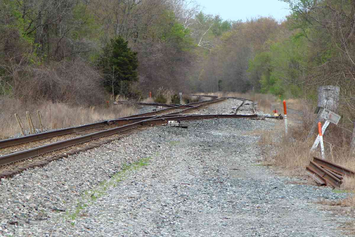
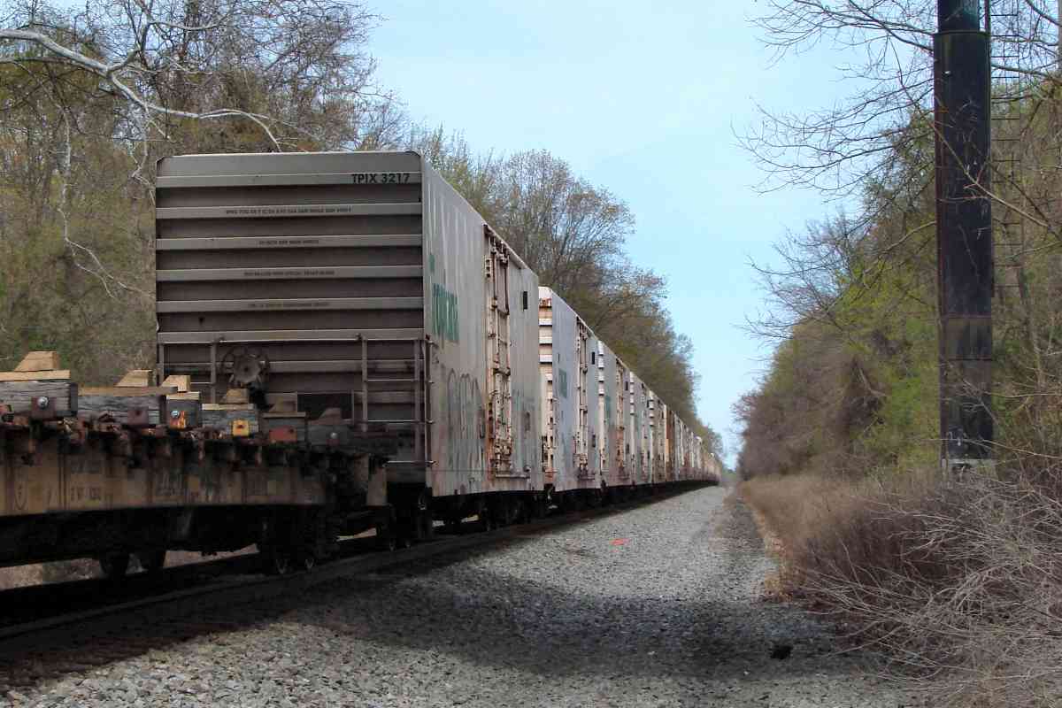
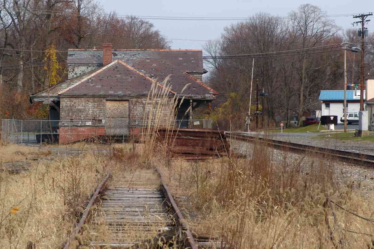
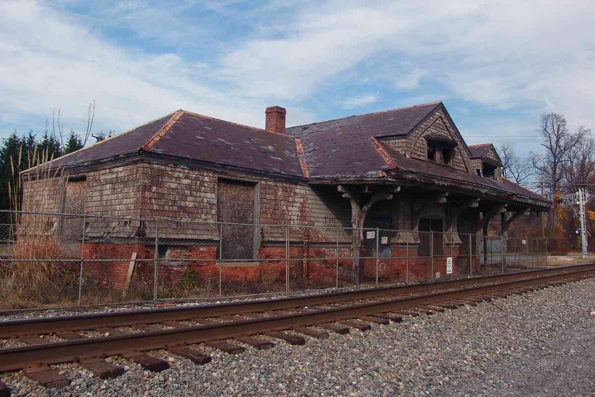
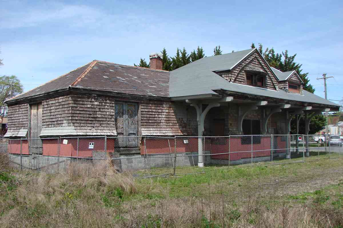
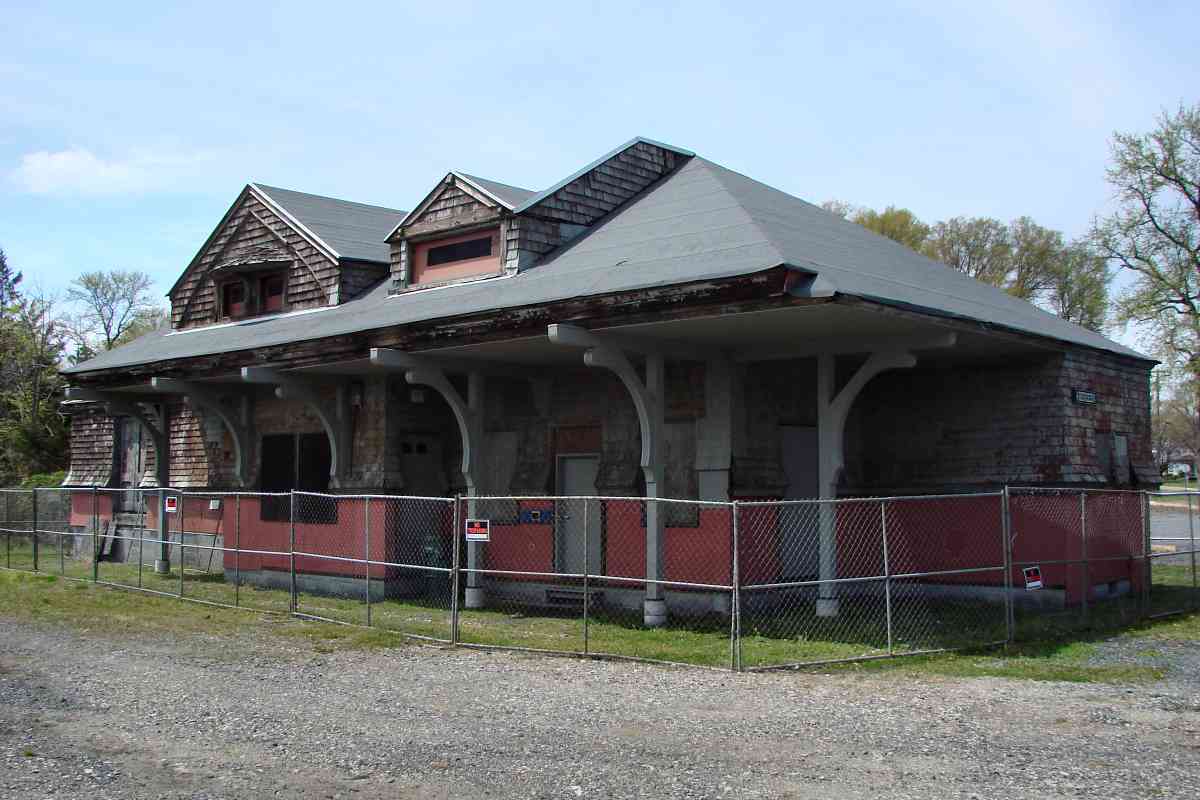
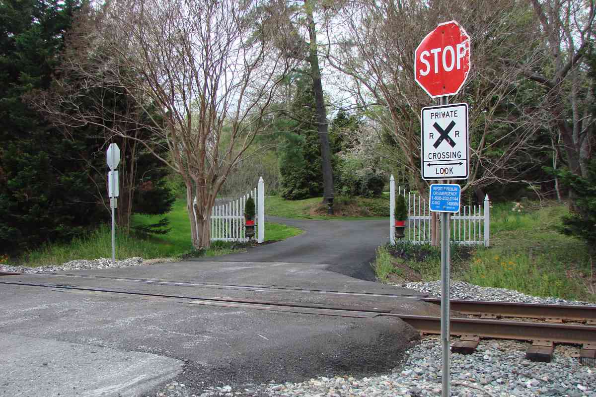
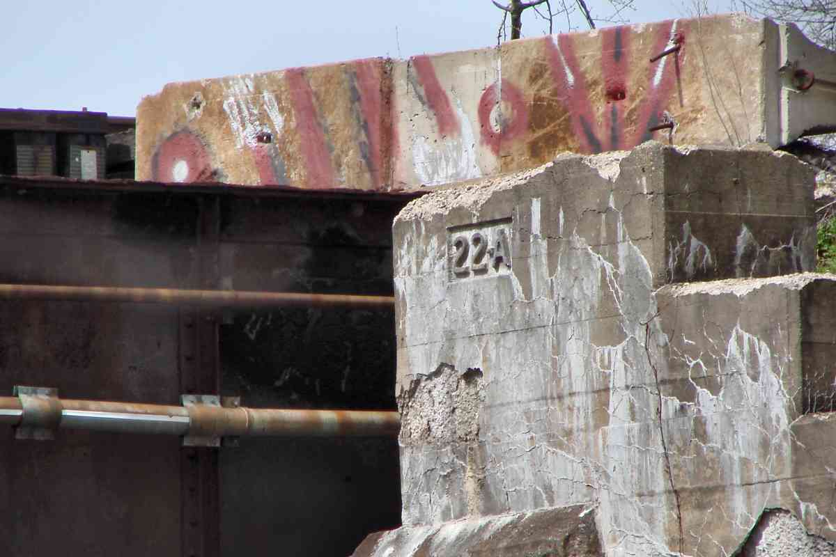
Owners of houses that pre-date a railroad can demand, and get, a private crossing, at least if the railroad wants to build through that owner's property.

Sophia's Dairy 
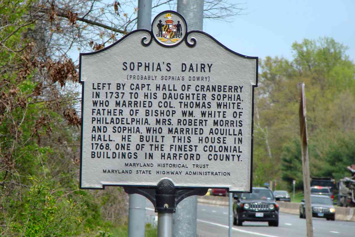
"Sophia's Dairy (Probably Sophia's Dowry) Left by Capt. Hall of Cranberry in 1737 to his daughter Sophia, who married Col. Thomas White, father of Bishop Wm. White of Philadelphia, Mrs. Robert Morris and Sophia, who married Aquilla Hall. He built this house in 1768, one of the finest colonial buildings in Harford County."

Links: HMDB entry, ~1940, house interior 2017


Siding

Siding
Mile: 67.8 Date: Apr 2022
Ease: A- View: NE
Area: A RBL:
Map: Ha Topographic Maps

A mile-long siding (right) accompanies an industrial spur (left).


CSX 3059

CSX 3059
Mile: 65.8 Date: Apr 2022
Ease: B+ View: SW
Area: A- RBL:
Map: Ha Topographic Maps

DPUs need not face the direction of travel, as demonstrated by this westbound sending trash to a Virginia landfill.


Juice Empties

Juice Empties
Mile: 65.8 Date: Apr 2022
Ease: B+ View: NE
Area: A- RBL:
Map: Ha Topographic Maps

At least these juice empties, such as TPIX 3217, enjoyed an air gap from the trash cars. The shadow is cast by MD 7, Philadelphia Road, which is a paved and now-grade-separated version of the original colonial road that connected Baltimore and Philadelphia.


Frito-Lay

Frito-Lay
Mile: 65.5 Date: Apr 2022
Ease: B- View: SW
Area: A- RBL:
Map: Ha Topographic Maps

Northeast of that Philadelphia Road bridge (distance) Frito-Lay's factory makes the edible kind of chips. Crossbucks, gates, and flashers mark their private crossing.


Cut Stones

Cut Stones
Mile: 64.4 Date: Apr 2022
Ease: B View: E
Area: A- RBL:
Map: Ha Topographic Maps

The oldest of the branch's culverts still have cut stones, like these.


Milepost 64

Milepost 64
Mile: 64.1 Date: Apr 2022
Ease: A- View: NE
Area: A- RBL:
Map: Ha Topographic Maps

West of milepost 64, a now-disused siding splits to serve Aberdeen Station.


East End
Photo courtesy Dave Hiteshew

East End
Mile: 63.6 Date: Nov 2009
Ease: A- View: NE
Area: A RBL:
Map: Ha Topographic Maps

The eastern end of that siding reaches the station.


Aberdeen Station 2009
Photo courtesy Dave Hiteshew

Aberdeen Station 2009
Mile: 63.5 Date: Nov 2009
Ease: A- View: N
Area: A RBL: 66
Map: Ha Topographic Maps

One of few extant Frank Furness designs, Aberdeen Station is seen here shortly after preservation efforts had begun.


Aberdeen Station 2022

Aberdeen Station 2022
Mile: 63.5 Date: Apr 2022
Ease: A- View: N
Area: A RBL:
Map: Ha Topographic Maps

During 2015, the station was moved west to sit 40 feet farther from the tracks.

Link: station move photos 2015


CSX 4737
Photo courtesy Dave Hiteshew

CSX 4737
Mile: 63.5 Date: Nov 2009
Ease: A- View: N
Area: A RBL:
Map: Ha Topographic Maps

CSX 4737 and CSX 8810 roll past the station prior to its relocation.


New Roof

New Roof
Mile: 63.5 Date: Apr 2022
Ease: A View: W
Area: A RBL: 65, 72
Map: Ha Topographic Maps

Since the move, the staion has received a new roof, and temporary coverings elsewhere. There are still plenty of gaps, enough that the aged structure has become a favored home of bees and wasps.

Link: MHT entry 2002 (PDF)


Interior 2009
Photo courtesy Dave Hiteshew

Interior 2009
Mile: 63.5 Date: Nov 2009
Ease: A- View:
Area: A RBL:
Map: Ha Topographic Maps

Back in 2009, much of what B&O and CSX had left inside remained. Such leftovers have since been cleared out. More interior views follow on the next tour page.


Wrong Font

Wrong Font
Mile: 63.4 Date: Apr 2022
Ease: A View: SW
Area: A RBL:
Map: Ha Topographic Maps

Nitpicky railfan comment: the station has this new sign, but that's not a B&O typeface/font! Instead, it's closer to that used by CSX.


Right Font

Right Font
Mile: 63.4 Date: Apr 2022
Ease: A View: SW
Area: A RBL:
Map: Ha Topographic Maps

Modelers know this digital mockup was more the sign's appearance during the B&O era.

Link: RailFonts site


Donate

Donate
Mile: 63.4 Date: Apr 2022
Ease: A View: NW
Area: A- RBL:
Map: Ha Topographic Maps

As of 2022, the station still needs plenty of restoration. If you can help, visit the site linked below.

Link: AberdeeenBOStation.org


<< Previous (west) | THIS PAGE: THIS PAGE: Van Bibber to Aberdeen | Next (east) >>

Or, return to main page

Copyright Notice