|
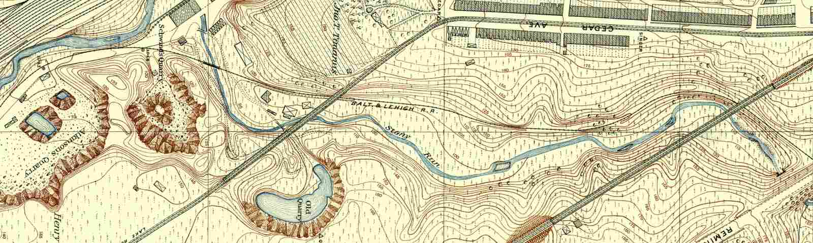
Note that north, the general direction of this tour, is to the right.
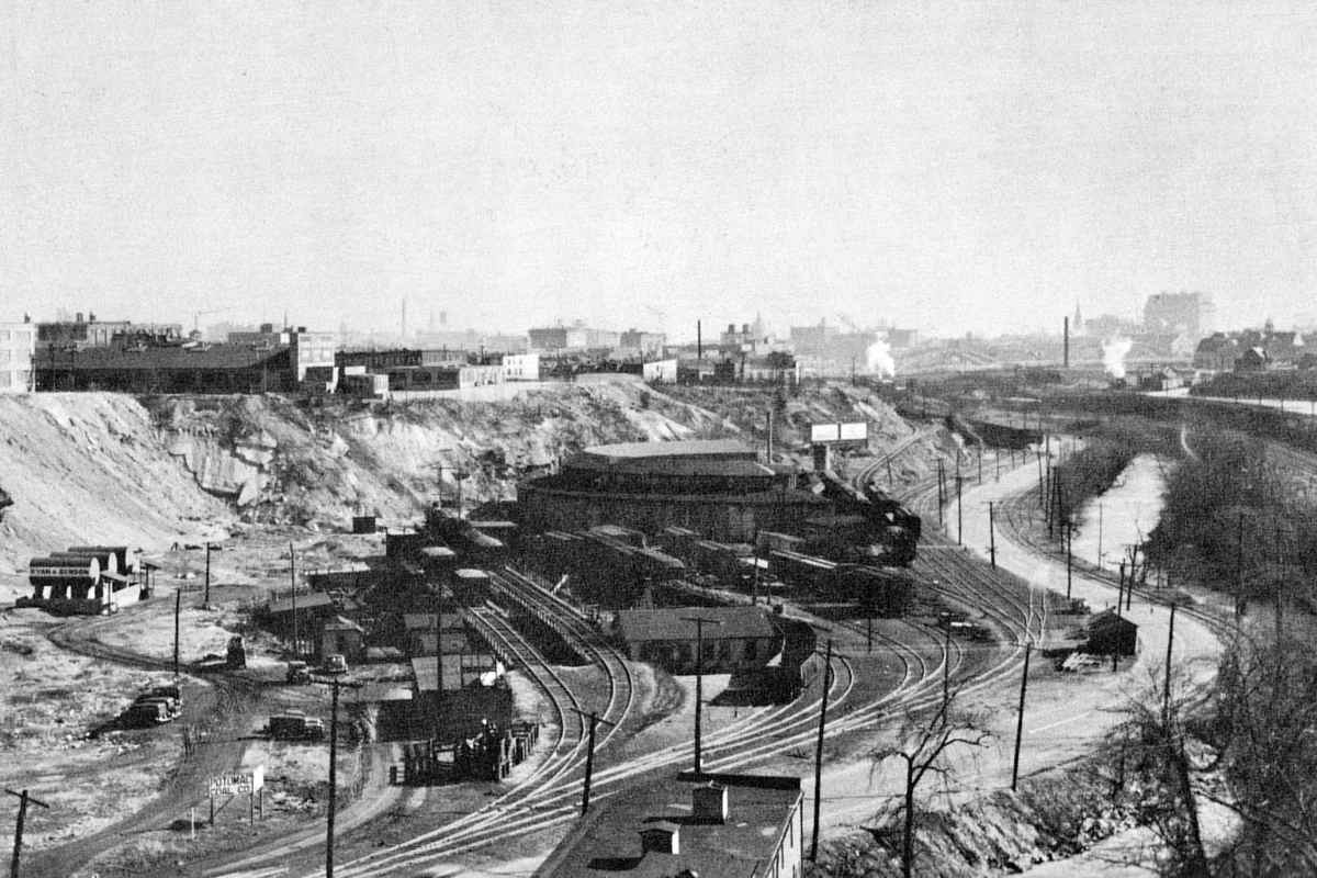
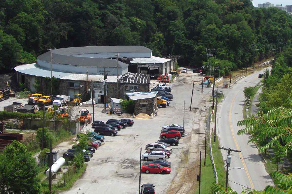
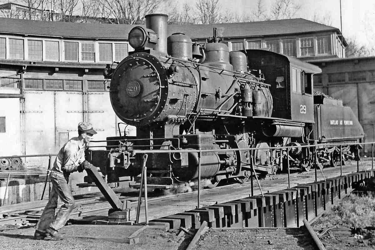
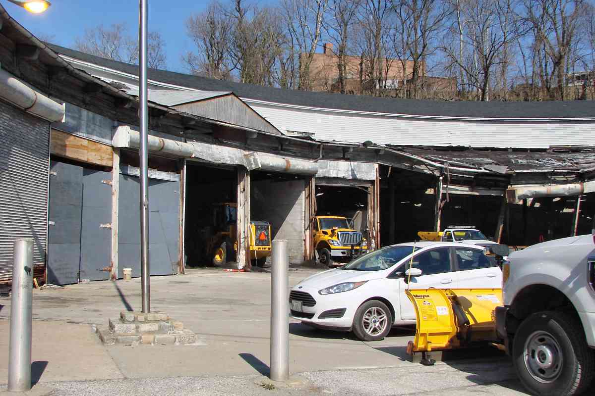
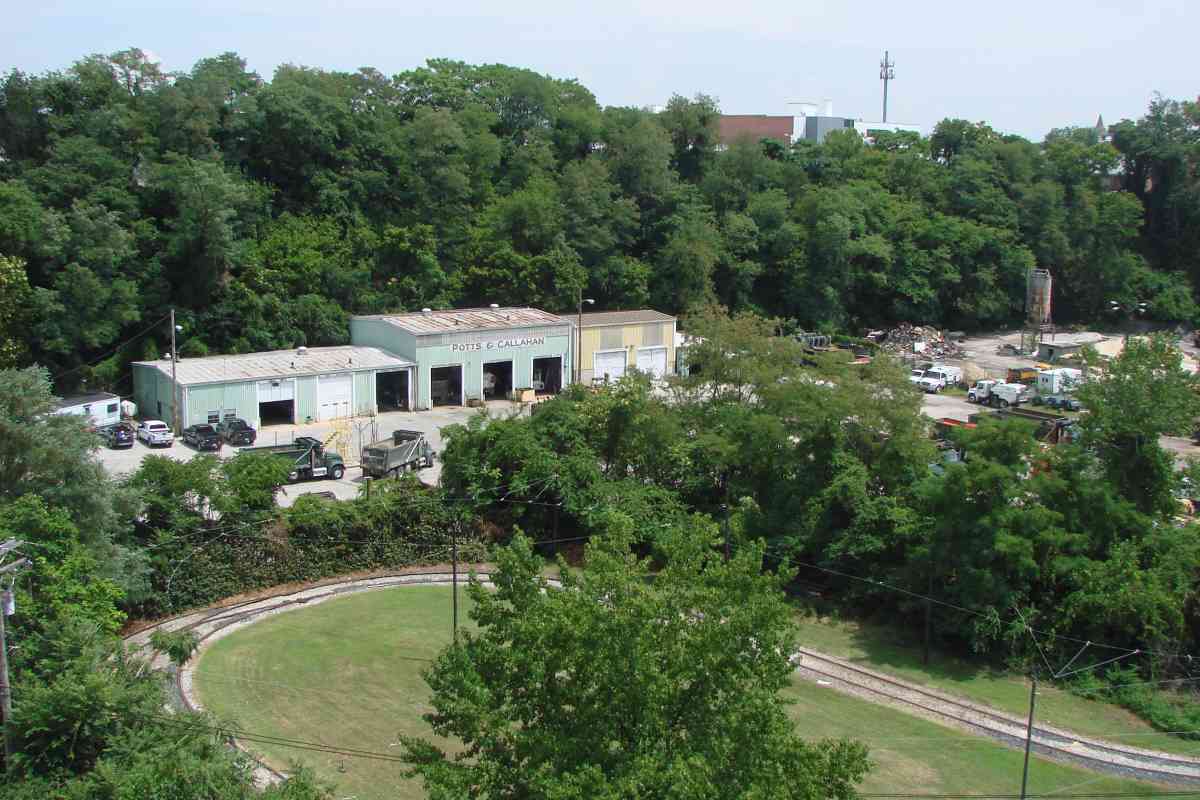
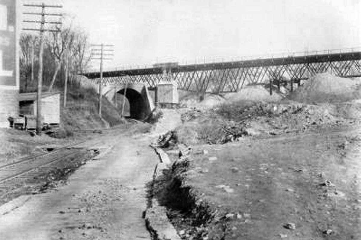
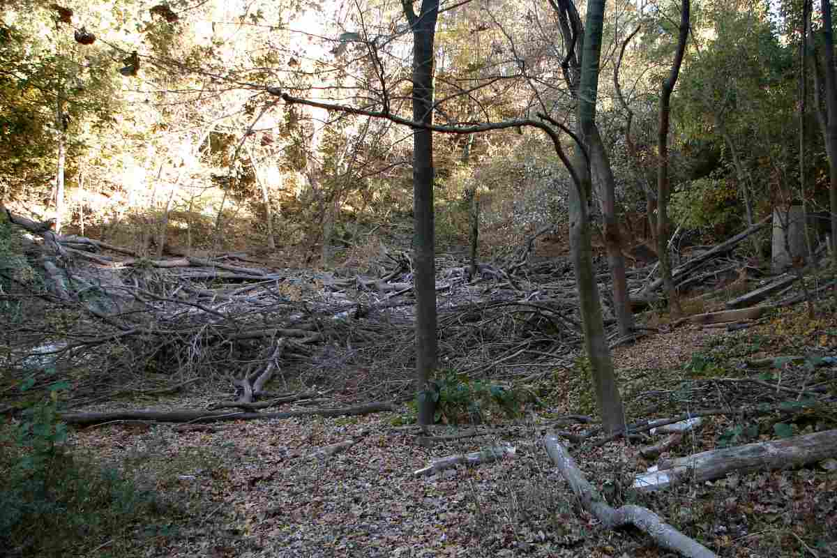
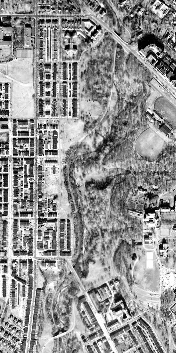
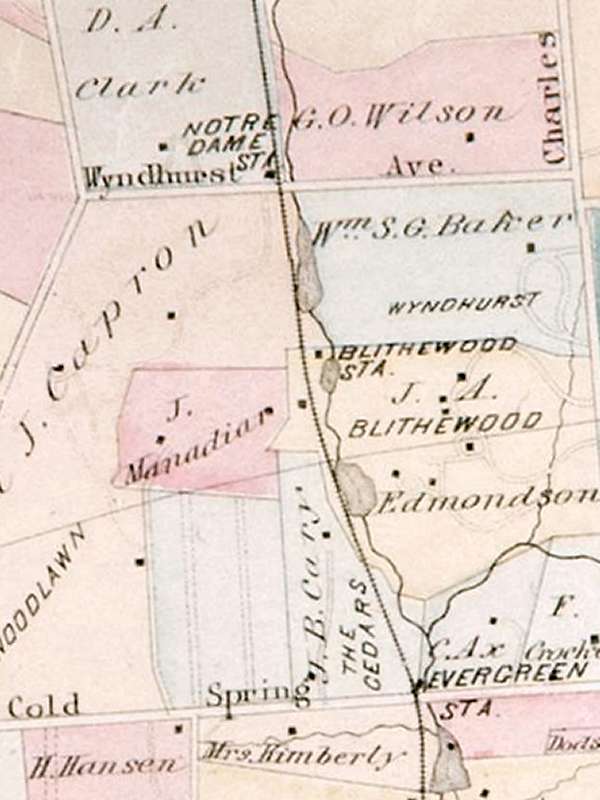
At Atkinson's Quarry (left), Ma & Pa, here labeled Balt. and Lehigh R. R.,
would find an already-excavated, cozy home for its roundhouse.
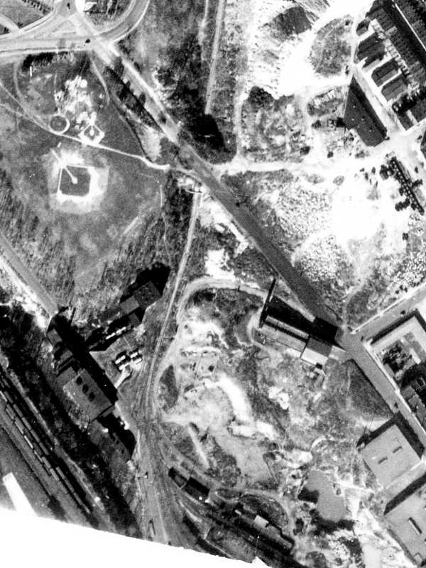
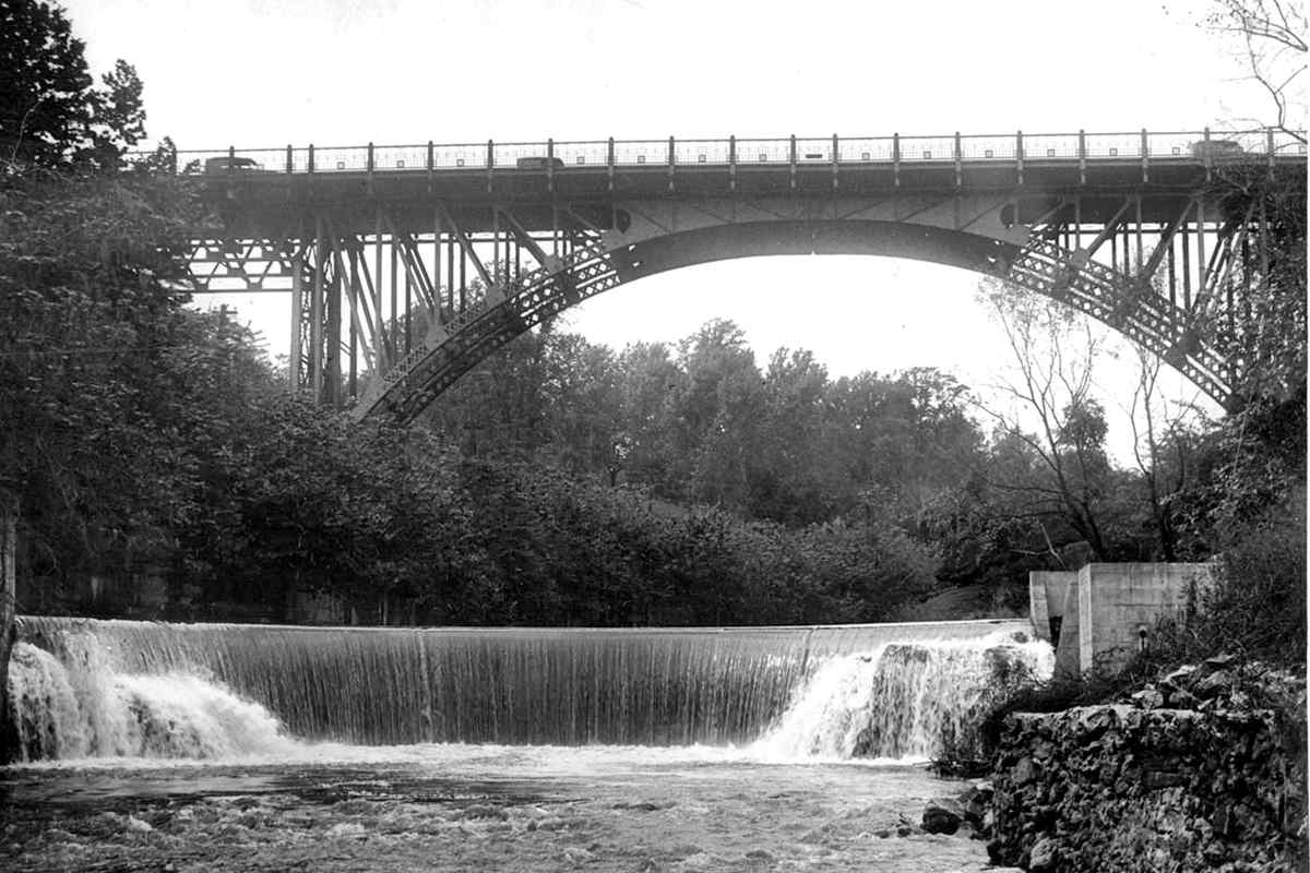
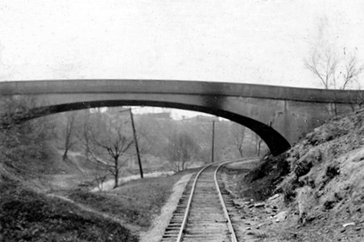
From there, the line turned north (right) out of the Jones Falls valley
to follow Stony Run upstream. Along the way, it passed
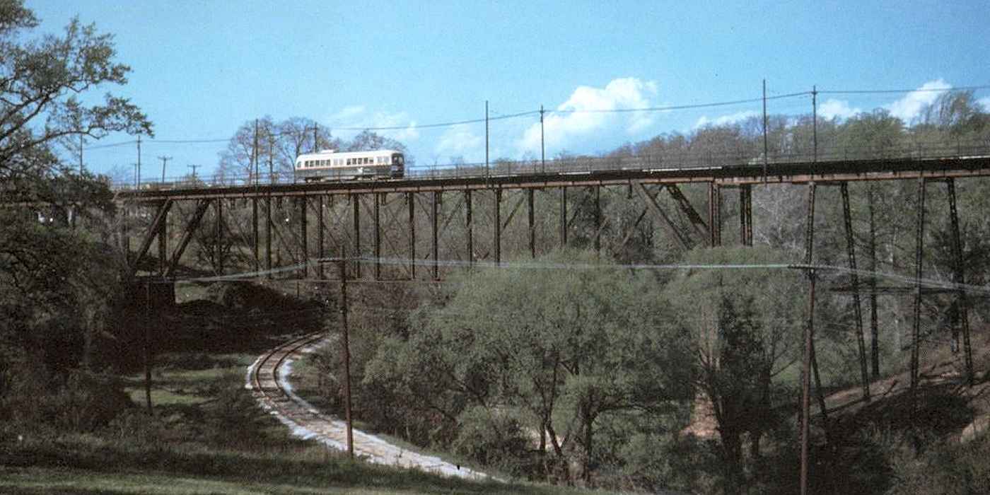
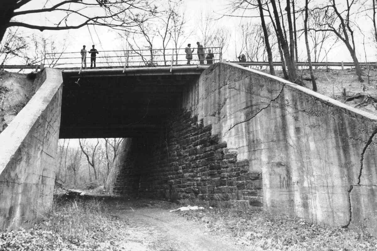
under streetcars of the Lake Roland Elevated Railway and United Railways &
Electric's Huntingdon Avenue Viaduct, each represented by a bold / diagonal.
Photos of both will be seen in panels below. Cedar Avenue is
now named Keswick Road.
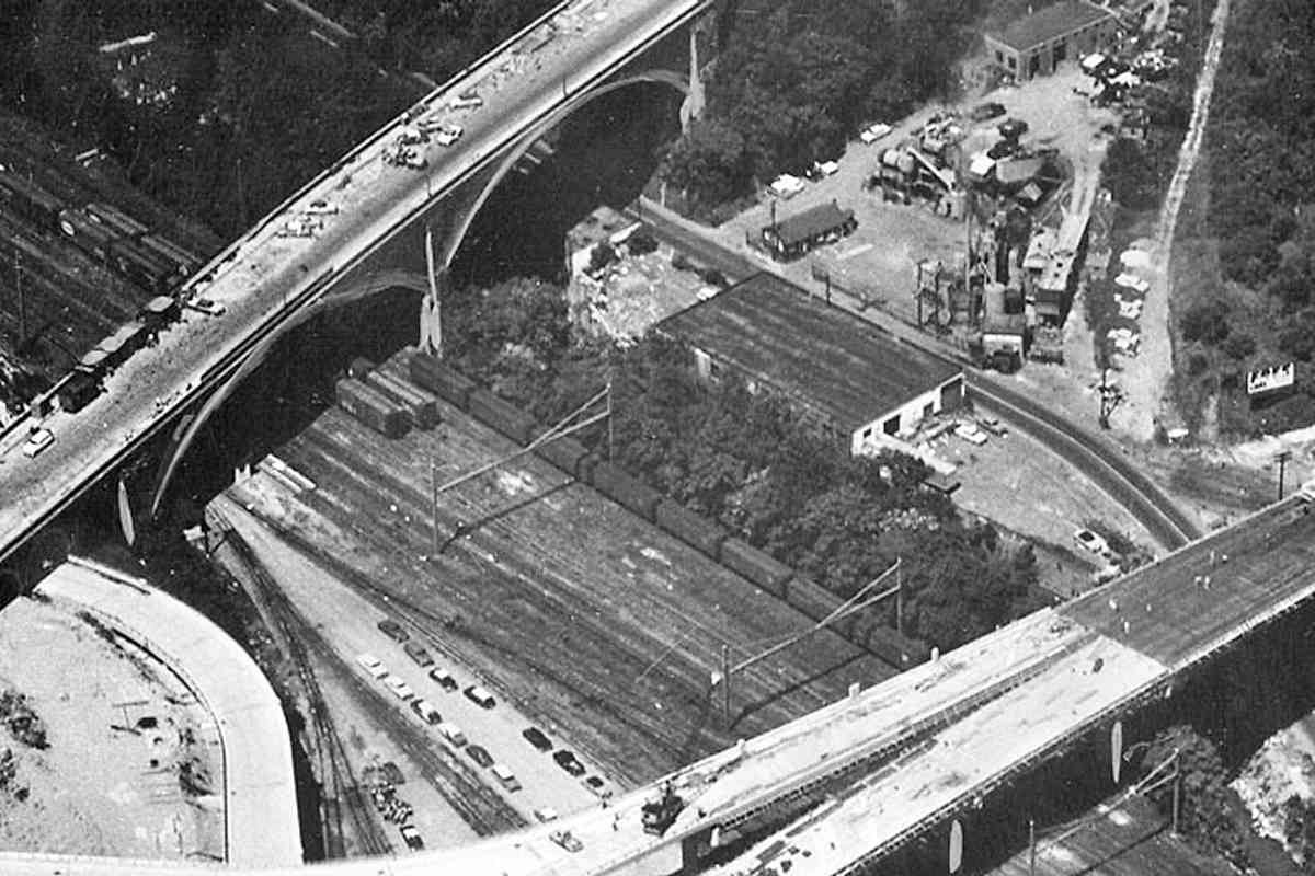
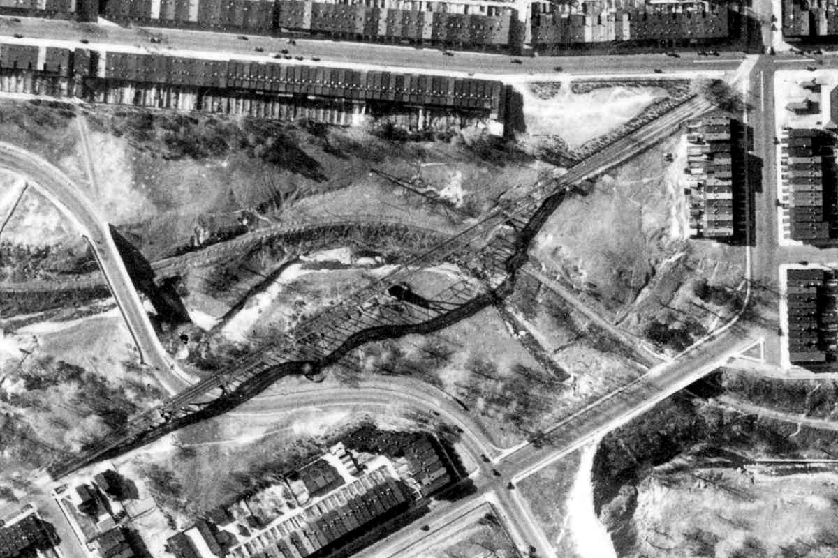
These 1894 city topographical survey maps appear impossibly detailed. Contour
lines drawn at 5-foot intervals imply an army of surveyors checked virtually
every square foot of the city. Despite the estimation that must have occurred,
these maps provide a wealth of useful data from an era prior to aerial photography.
|