Click a photo to see a larger view. Please send your comments and corrections to Steve.
Canton Railroad (CTN) - Brief Historical Background:
Seeking to protect its port monopoly, B&O declined to build to Canton prior to the US Civil War, and made efforts to block other railroads from doing so. That war exposed the rail service bottleneck that Baltimore had become, and provided Canton Company leverage to prompt the formation of Union Railroad (URR) to connect central and eastern Baltimore. Canton Company purchased control of URR during 1870, and extended a spur south into its property by 1873. URR's tunnel between central and east Baltimore proved so important, Pennsylvania Railroad (PRR) purchased URR via its Northern Central subsidiary. The tunnel is now part of Amtrak's Northeast Corridor.
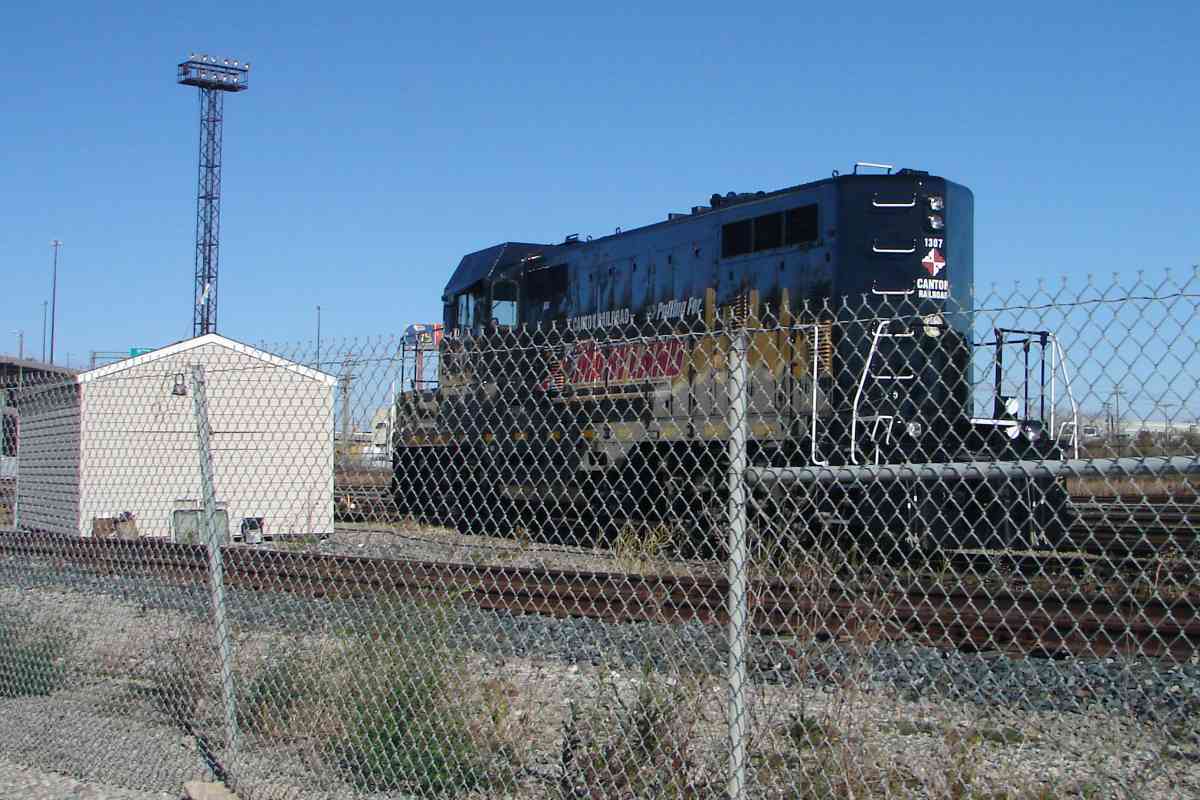
During 1906, the Canton Company chartered a second railroad to bring new businesses to areas of Canton yet to be developed, including part of the waterfront. The resulting Canton Railroad, reporting mark CTN, was purchased by the State of Maryland in 1987. Presently, CTN is a Class III switching and terminal railroad of five track miles with connections to both CSX and NS.
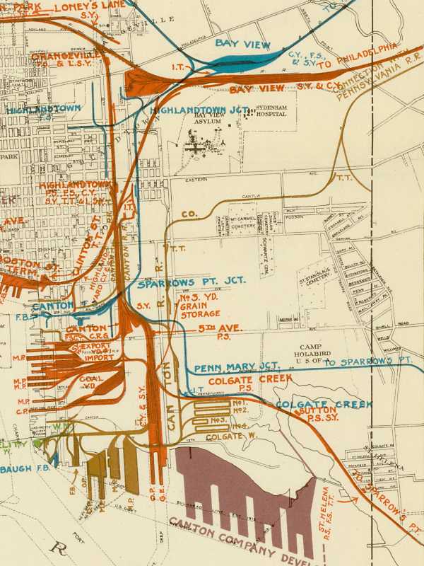
Image courtesy Johns Hopkins University |
| |||||||||||
| ||||||||||||
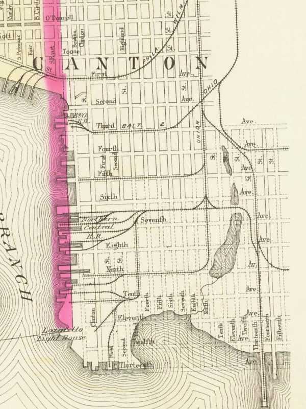
Image courtesy Johns Hopkins University |
| |||||||||||
| ||||||||||||
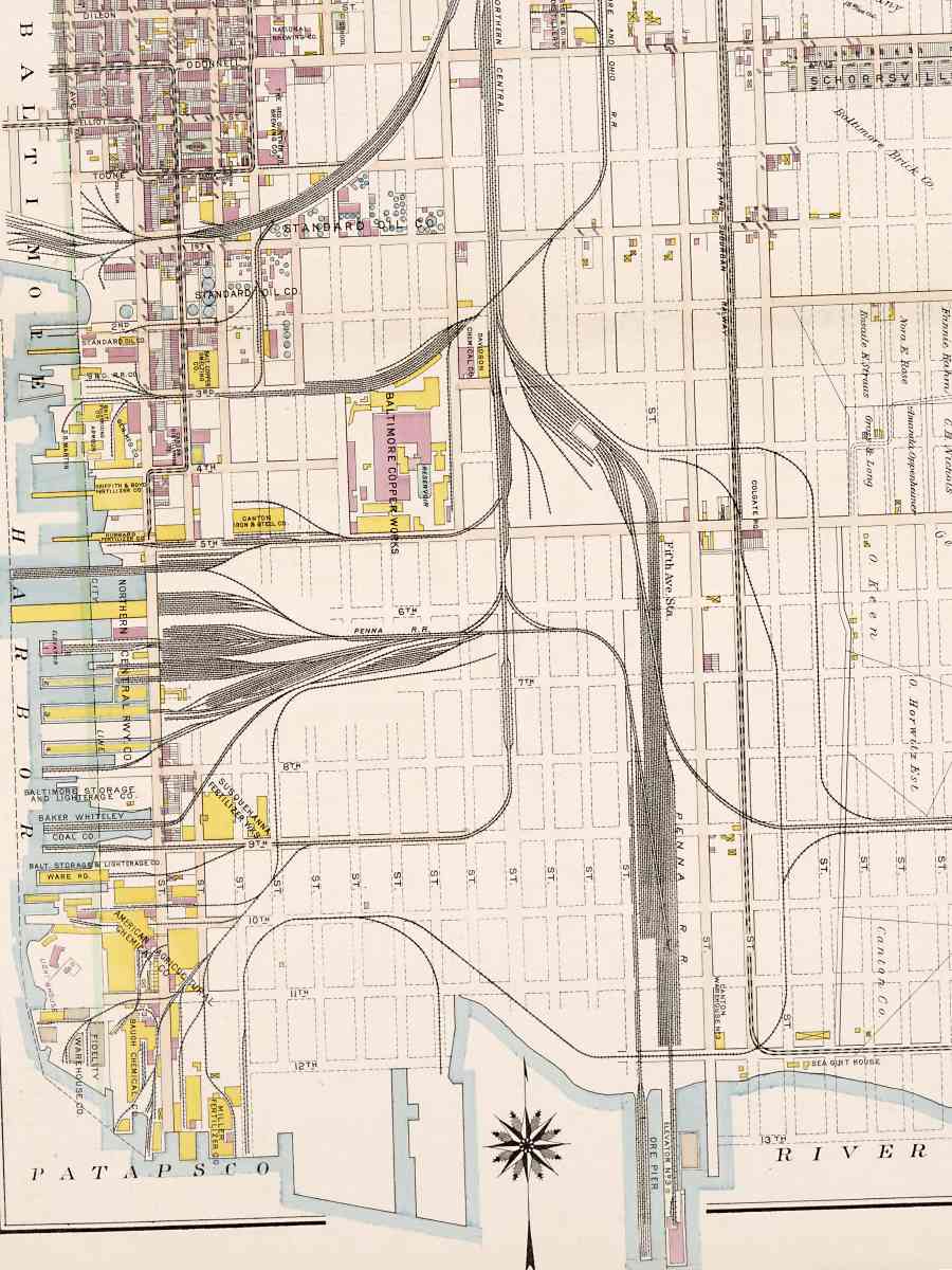
Image courtesy Johns Hopkins University |
| |||||||||||
| ||||||||||||
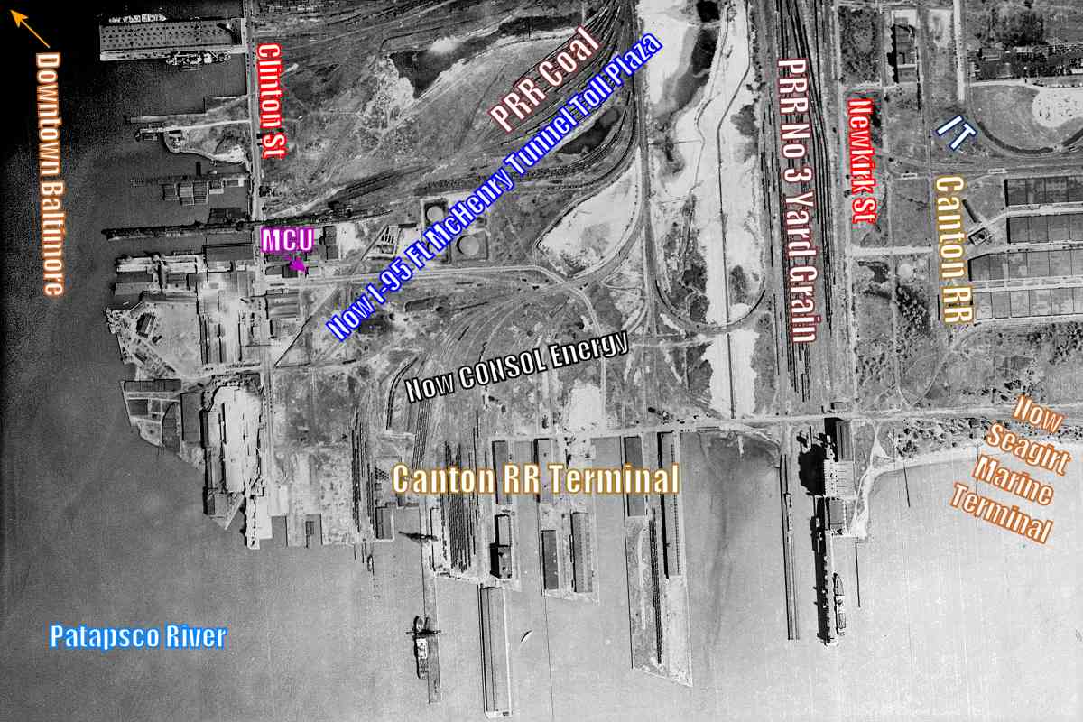
Photo courtesy Johns Hopkins University |
| |||||||||||
| ||||||||||||
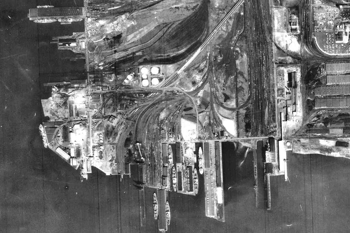
Photo courtesy Johns Hopkins University |
| |||||||||||
| ||||||||||||
Image courtesy Johns Hopkins University |
| |||||||||||
| ||||||||||||
Photo courtesy Google |
| |||||||||||
| ||||||||||||
Photo courtesy Johns Hopkins University |
| |||||||||||
| ||||||||||||
Photo courtesy Johns Hopkins University |
| |||||||||||
| ||||||||||||
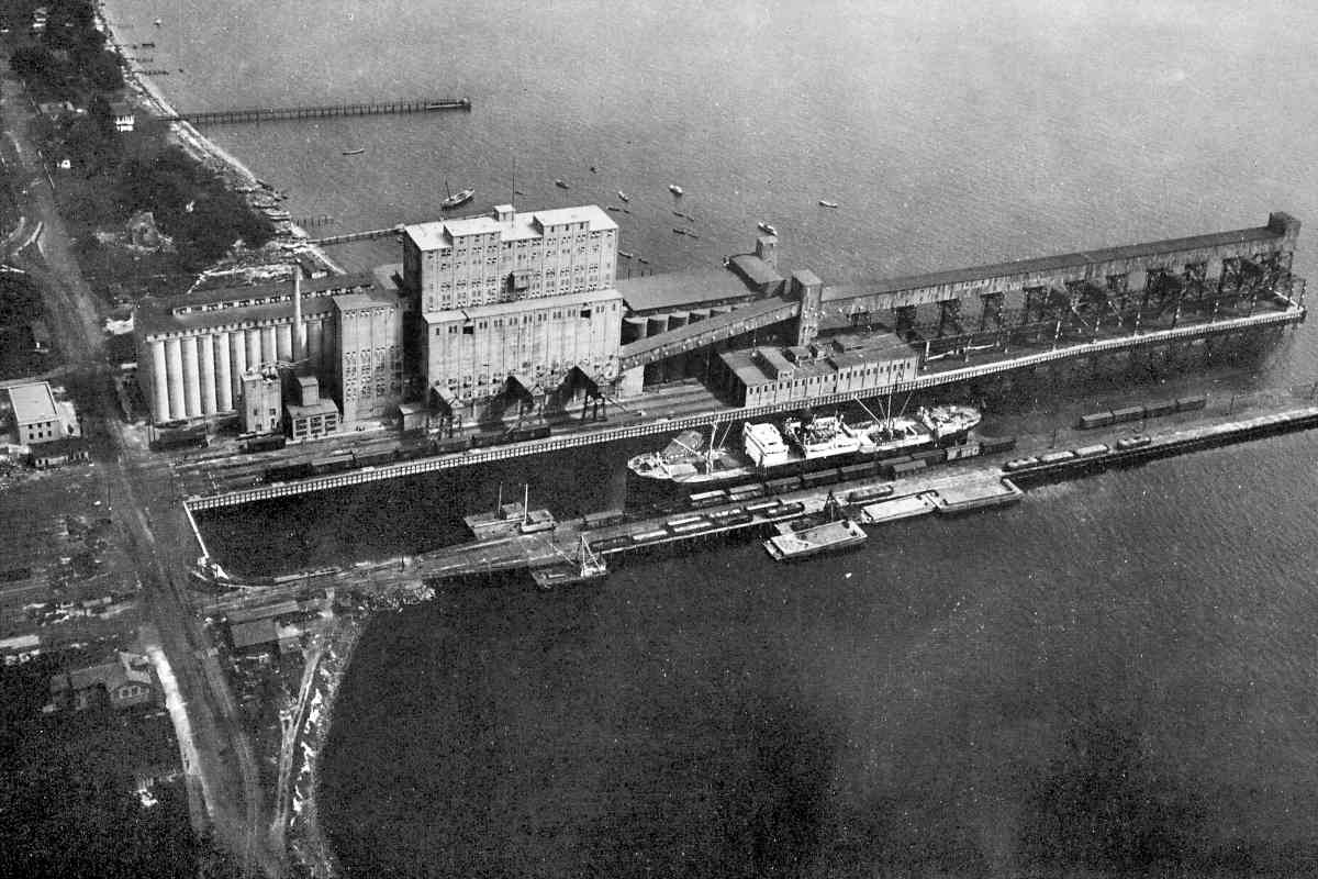
Photo courtesy Johns Hopkins University |
| |||||||||||
| ||||||||||||
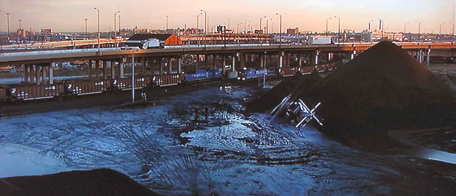
Screen capture (fair use) |
| |||||||||||
| ||||||||||||
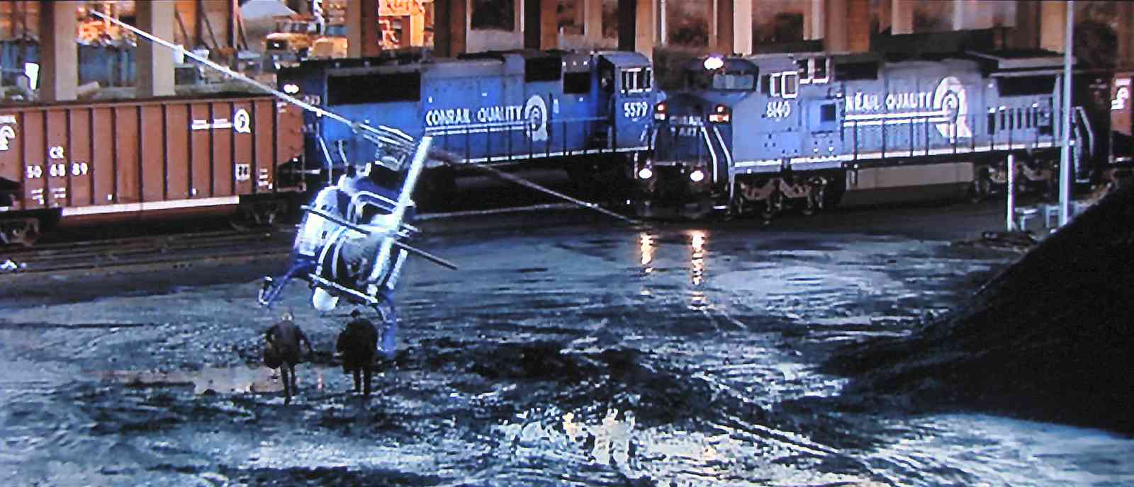
Screen capture (fair use) |
| |||||||||||
| ||||||||||||
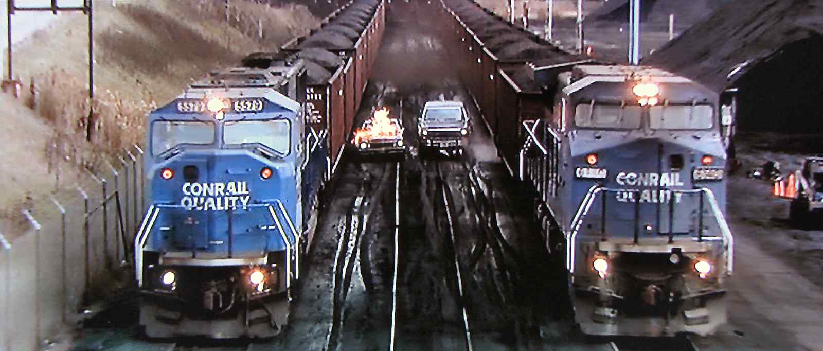
Screen capture (fair use) |
| |||||||||||
| ||||||||||||
|
| |||||||||||
| ||||||||||||
|
| |||||||||||
| ||||||||||||
|
| |||||||||||
| ||||||||||||
|
| |||||||||||
| ||||||||||||
Photo credit HH Harwood |
| |||||||||||
| ||||||||||||
|
| |||||||||||
| ||||||||||||
|
| |||||||||||
| ||||||||||||
|
| |||||||||||
| ||||||||||||
|
| |||||||||||
| ||||||||||||
|
| |||||||||||
| ||||||||||||
|
| |||||||||||
| ||||||||||||
|
| |||||||||||
| ||||||||||||
|
| |||||||||||
| ||||||||||||
|
| |||||||||||
| ||||||||||||
|
| |||||||||||
| ||||||||||||
Photo courtesy Dave Hiteshew |
| |||||||||||
| ||||||||||||