TrainWeb.org Facebook Page
Baltimore Light Rail Photo Tour


Baltimore Light Rail
Modern day photo tour

Accompanying each photo below are:

Click a photo to see a larger view. Please send your comments and corrections to Steve.


<< Previous (index) | THIS PAGE: Hunt Valley to Lutherville | Next (south) >>

Brief Historical Background: Baltimore Light RailLink

System Map

System Map
Mile: Date: Feb 2021
Ease: A- View: N (up)
Area: B BLR:
Map: AA 2 C 10 Topographic Maps

The northern half of the light rail system traces much of the route of the former Northern Central Railway (NC), a right-of-way with origins in the 1828 chartering of the Baltimore and Susquehanna Railroad Company (B&S).

This tour page covers from Hunt Valley, at map top, south through Lutherville. This system map photo comes from the BWI Business District near light rail's south end. The BWI Airport area is several tour pages away.

Change for: NC tour at this site


Hunt Valley Station Opening
Photo credit HH Harwood

Hunt Valley Station Opening
Mile: 17.0 Date: Aug 1997
Ease: A View: W
Area: B+ BLR:
Map: Ba 18 F 2 Topographic Maps

Light rail's present northern terminal in Hunt Valley (Cockeysville), Maryland dates to a 1997-opened extension of the original line to/from Timonium.

Here, workers rush to complete the final touches, such as painting the station name. Shawan Road is on the left.


MTA 5047

MTA 5047
Mile: 17.0 Date: Feb 2020
Ease: A- View: W
Area: B+ BLR:
Map: Ba 18 F 2 Topographic Maps

We just missed this train.

Light rail employs standard gauge track, that is, 4 feet 8 1/2 inches (1,435 mm) between the inside edges of the top of the rails.


Next Train

Next Train
Mile: 17.0 Date: Feb 2020
Ease: A- View: W
Area: B+ BLR:
Map: Ba 18 F 2 Topographic Maps

Some years after opening, the system was retrofitted with next-train signage. Depending on the hour and location, most trains run with a headway of between 15 and 30 minutes.


Ticket Center

Ticket Center
Mile: 17.0 Date: Feb 2020
Ease: A- View: NW
Area: B+ BLR:
Map: Ba 18 F 2 Topographic Maps

Self-serve ticket kiosks can be found at each station. As of 2021, the base one-way fare is $1.90.

There are no turnstiles or ticket takers. Instead, there are random checks of the onboard passengers, and woe is you if you don't have a ticket because then you'll be handed a very different type of ticket.


Shawan Road
Photo credit HH Harwood

Shawan Road
Mile: 16.8 Date: Jan 1998
Ease: B+ View: NW
Area: B+ BLR:
Map: Ba 18 F 2 Topographic Maps

All cars were painted in this blue and white livery at first. The cars are a product of ABB Traction, the U.S. division of Asea Brown Boveri. At the top of the hill is the Maryland Masonic Homes complex.


Double Tracked
Photo credit HH Harwood

Double Tracked
Mile: 16.7 Date: Sep 1997
Ease: B+ View: N
Area: B+ BLR:
Map: Ba 18 F 2 Topographic Maps

This part of the extension was double tracked from the get go. Hunt Valley Mall is in the background, since renamed Hunt Valley Towne Center.


McCormick Road

McCormick Road
Mile: 16.3 Date: Feb 2020
Ease: A View: S
Area: B+ BLR:
Map: Ba 18 F 3 Topographic Maps

Unlike much of the line to the south, the sharp turns reveal this section through Hunt Valley Business Park is not former freight trackage. The business park took shape during the 1960s a few years after nearby I-83 and the I-695 Baltimore Beltway had made this area more accessible from a distance. In stages, the McCormick spice company moved here from Baltimore City.


Schilling Circle
Photo credit HH Harwood

Schilling Circle
Mile: 16.2 Date: Aug 1997
Ease: A View: N
Area: B+ BLR:
Map: Ba 18 F 3 Topographic Maps

Before it reaches Schilling Circle, the line has necked down to single track because it needed to be shoehorned into the already-established business park.


McCormick Road Station

McCormick Road Station
Mile: 16.2 Date: Feb 2020
Ease: A View: W
Area: B+ BLR:
Map: Ba 18 F 3 Topographic Maps

Stations like McCormick Road are squeezed between the streets and offices. McCormick & Co. spices has been headquartered in Baltimore since 1864. McCormick's largest distribution facility in the world can be found at Tradepoint Atlantic, former grounds of Bethlehem Steel at Sparrows Point. Tip: try Old Bay seasoning on potato chips.

Change for: B&SP tour at this site


Gilroy Road

Gilroy Road
Mile: 16.0 Date: Feb 2020
Ease: A View: S
Area: B+ BLR:
Map: Ba 18 E 4 Topographic Maps

Along Gilroy Road, trains and autos contend for space. Specialized overhead signs warn drivers of approaching trains.


Beaver Dam Road

Beaver Dam Road
Mile: 15.6 Date: Feb 2020
Ease: A View: S
Area: B+ BLR:
Map: Ba 18 E 5 Topographic Maps

Light rail complicates intersections, but they are manageable. At photo time, a malfunction in the nearest overhead sign made it flicker erratically enough to dim its arrow.


Lots of Dots

Lots of Dots
Mile: 15.6 Date: Feb 2020
Ease: A View: N
Area: B+ BLR:
Map: Ba 18 E 5 Topographic Maps

Digital brightening of the malfunctioning sign improves the visiblilty of the sign's dots, which reveals the sign also can display at right-pointing arrow. Its screen resolution is roughly 56 x 80 dots, some 4 kilopixels.


Warren Road Station
Photo credit HH Harwood

Warren Road Station
Mile: 14.8 Date: Sep 1997
Ease: A- View: W
Area: B+ BLR:
Map: Ba 18 G 6 Topographic Maps

Warren Road Station gleams with a brightness only possible when new. Here at the southern end of the business park, light rail joins a 1960s-era Northern Central Railway (NC) / Pennsylvania Railroad (PRR) spur. By 1900, NC was effectively a division of the PRR, but people continued to refer to the line as "Northern Central" even after the name had vanished from rolling stock.


Converge

Converge
Mile: 14.3 Date: Feb 2020
Ease: A View: N
Area: B T6:
Map: Ba 18 H 6 Topographic Maps

The spur and main line had met where Warren Road (foreground) was extended during the 1990s. For the next 12 miles south (behind the camera), light rail follows the ex NC main line.


Warren Road

Warren Road
Mile: 14.3 Date: Feb 2020
Ease: A View: E
Area: B BLR:
Map: Ba 18 G 6 Topographic Maps

During NC heydays, there was no grade crossing here -- because Warren Road didn't exist here until the 1990s. The flat area of darker pavement in the foreground looks very much like a former grade crossing, except no old map or aerial shows rails there.


Ravens Wrap

Ravens Wrap
Mile: 14.3 Date: Feb 2020
Ease: B+ View: S
Area: B T6:
Map: Ba 18 H 6 Topographic Maps

The first repurposed NC stone bridge we encounter can be seen from Warren Road. Since light rail stops at the home stadium of the NFL Ravens, it's appropriate a car be wrapped for the team. There exist equivalent cars for the MLB Orioles.


Crossings

Crossings
Mile: 14.3 Date: Feb 2020
Ease: B+ View: S
Area: B BLR:
Map: Ba 18 H 6 Topographic Maps

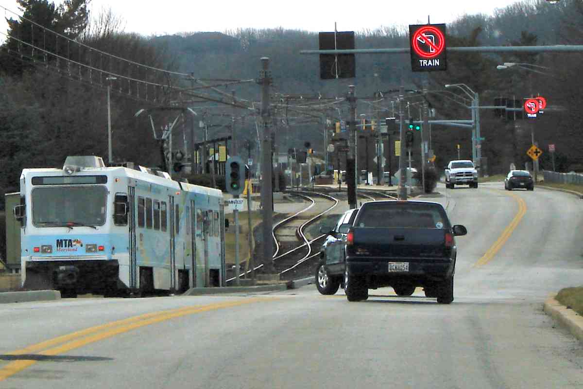
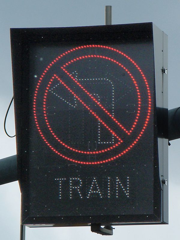
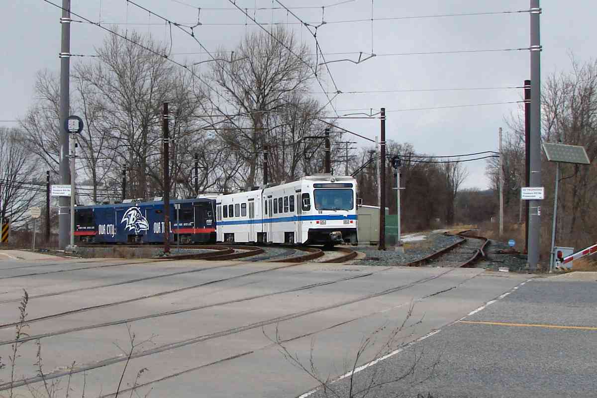
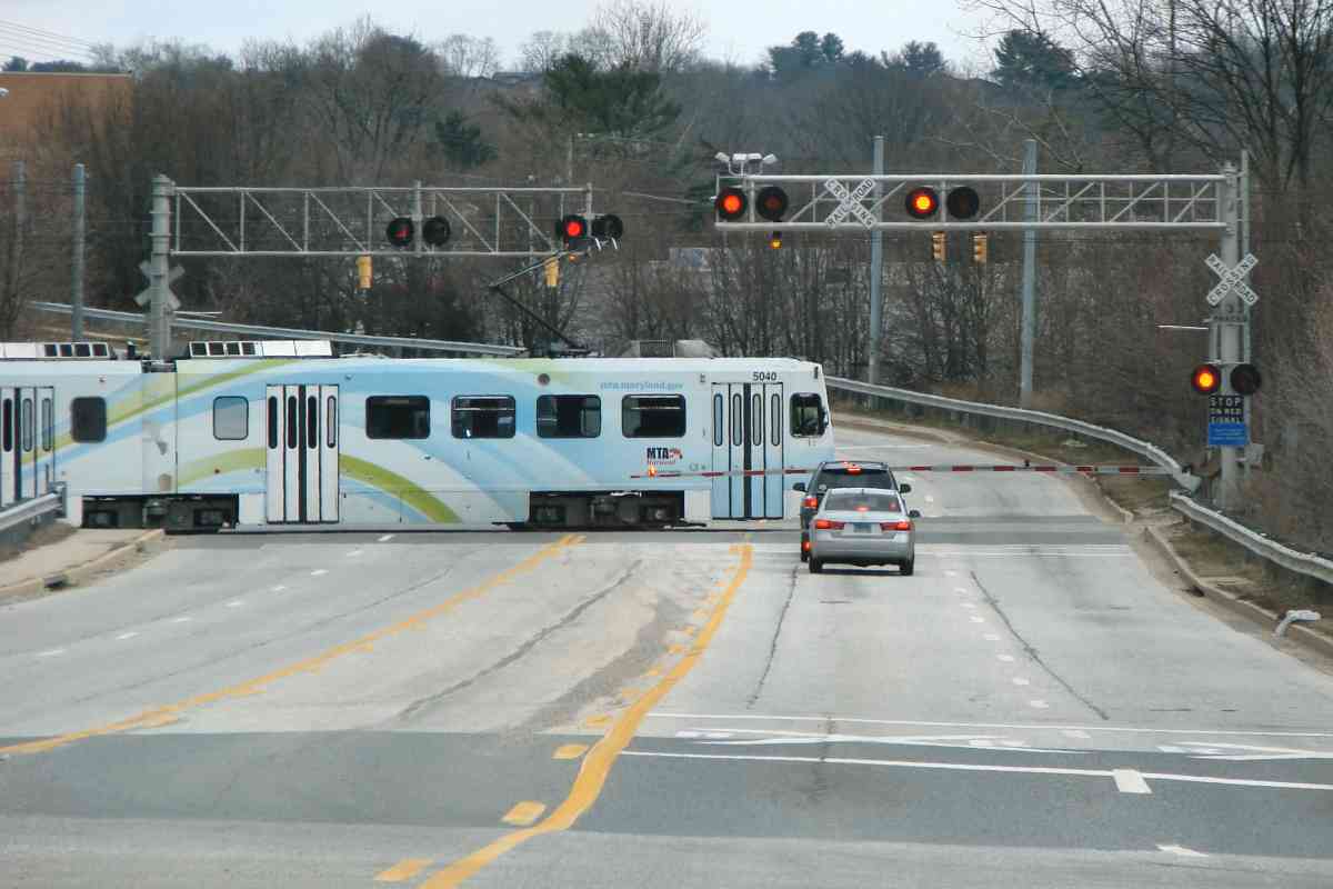
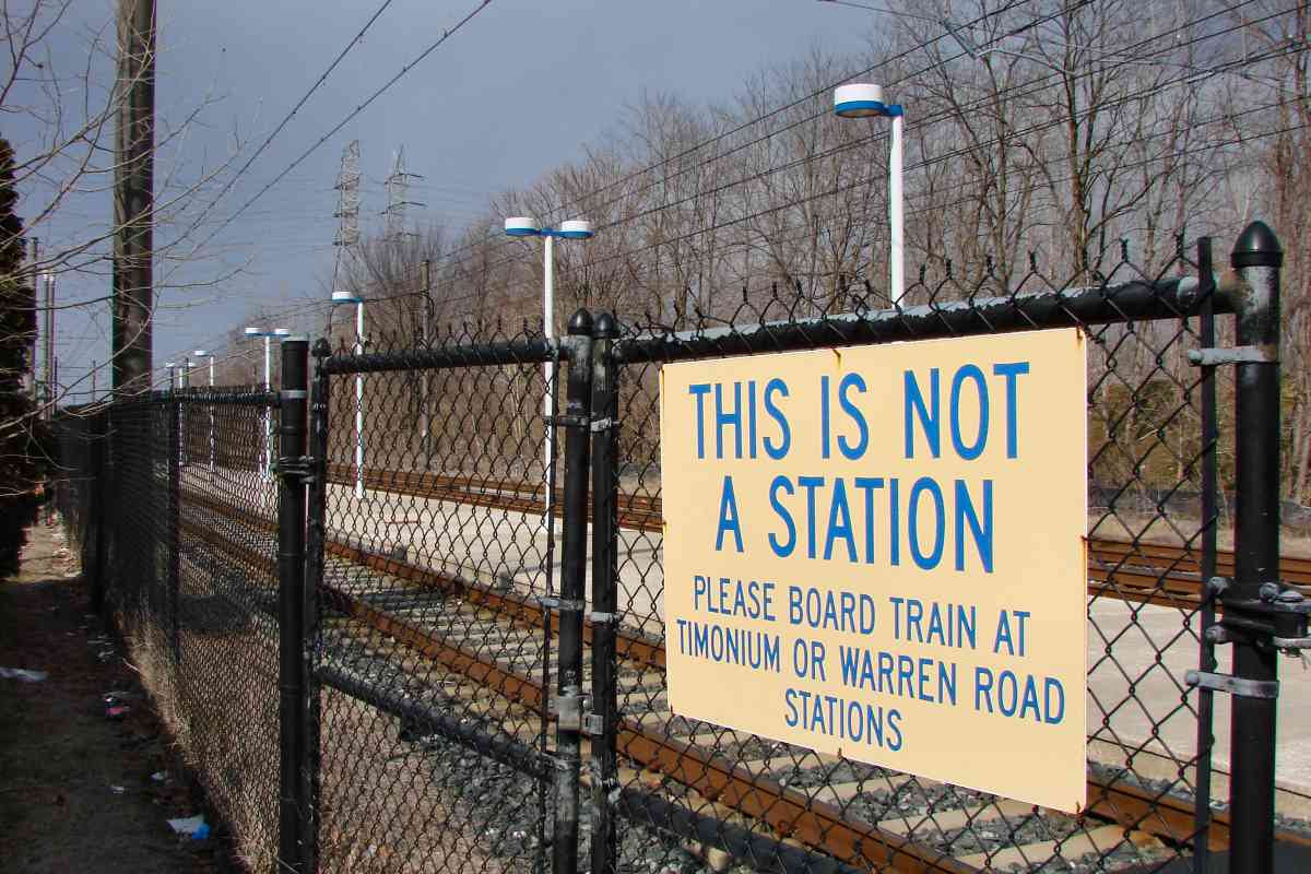
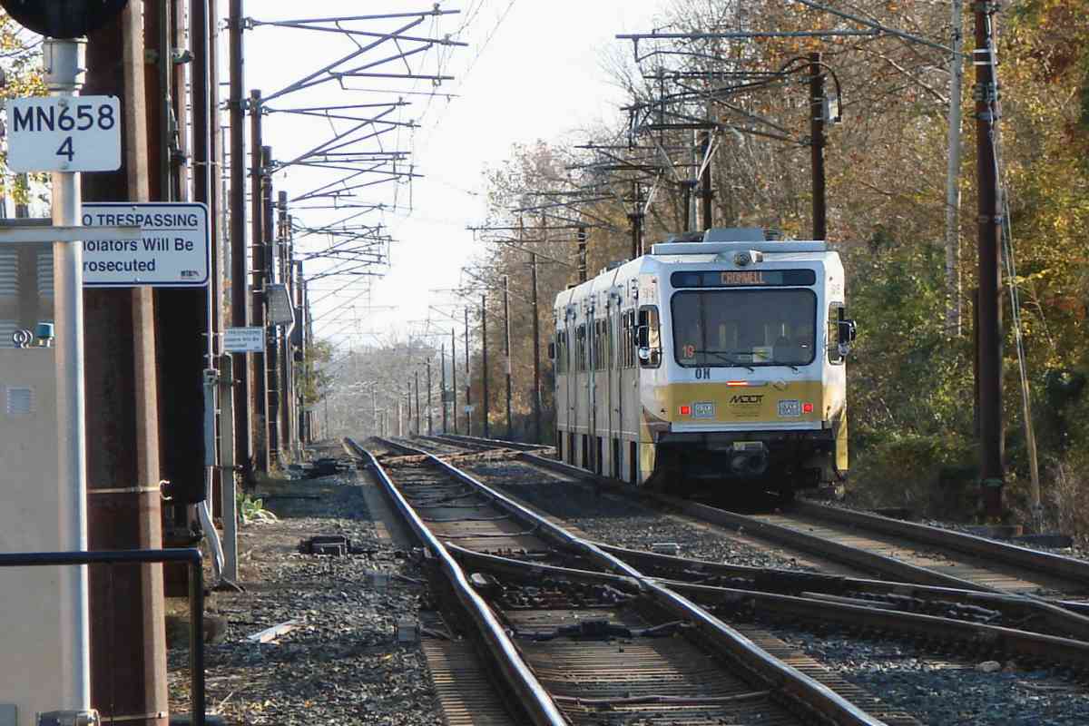
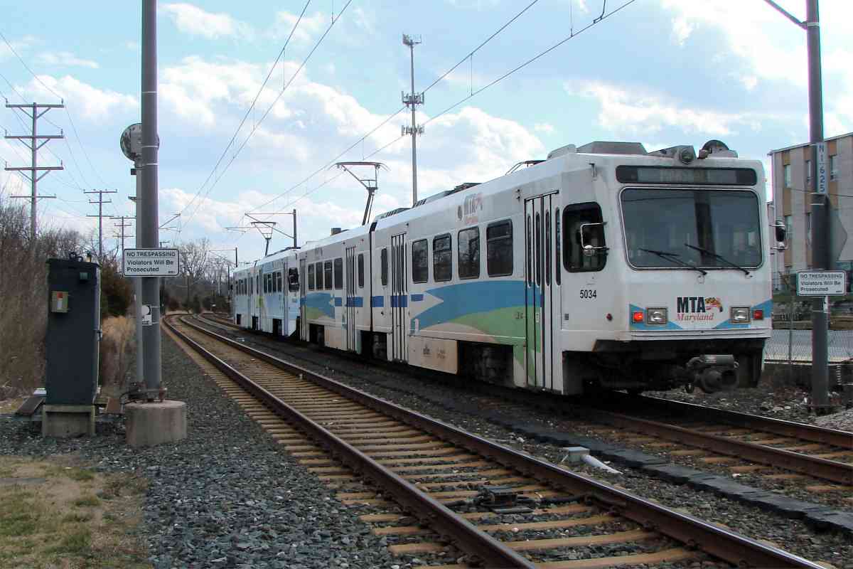
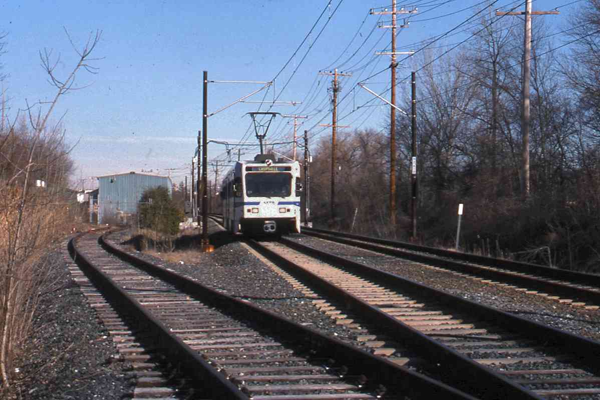
One consequence of reusing the NC line is NC's grade crossings are still grade crossings. As previously mentioned, before light rail began sharing the route, the NC had been assimilated into the PRR collective. The PRR's 1960s merger with New York Central to form Penn Central did not go well (to put it mildly), with Conrail then established to clean up. During the 1990s, Conrail was split apart, and this ex-NC line ended up with Norfolk Southern (NS). The last NS freight ran here during 2005.

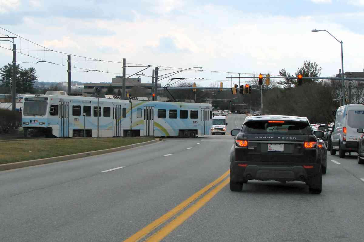
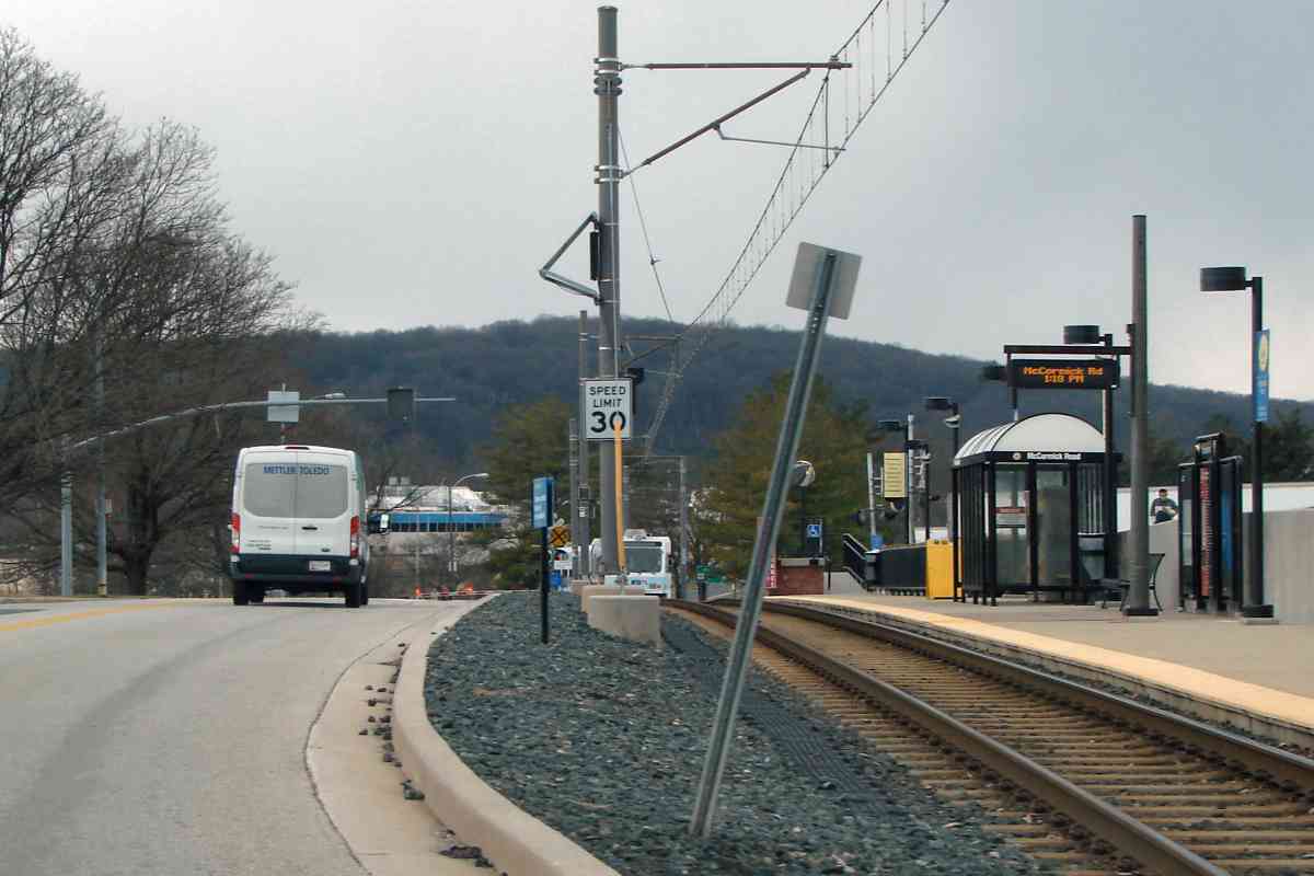
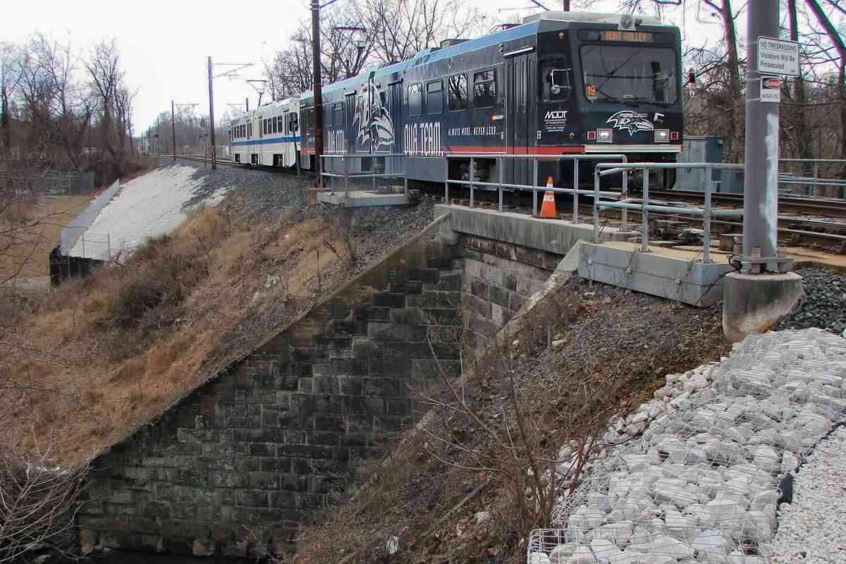
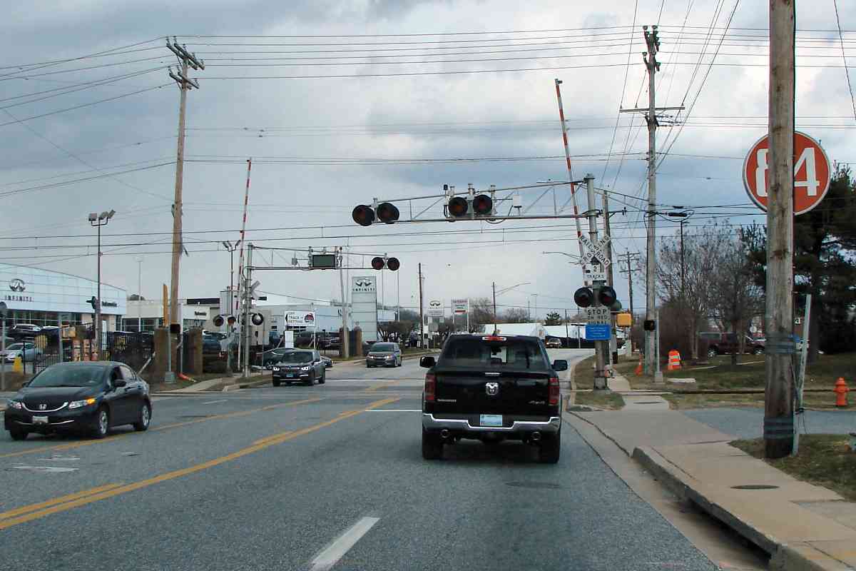
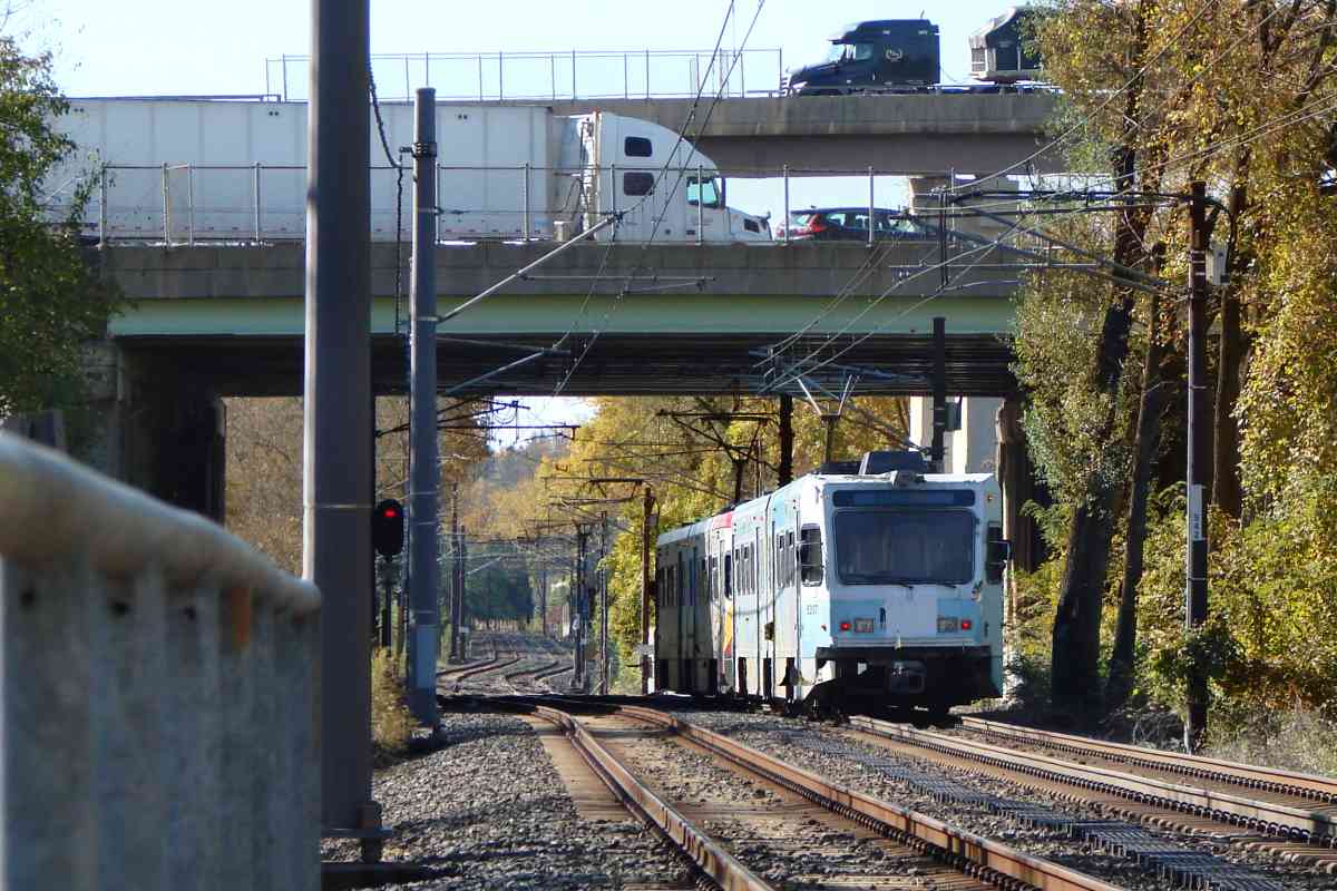
The truck is at Industry Lane's grade crossing.


Texas
Photo credit HH Harwood

Texas
Mile: 13.2 Date: Feb 1998
Ease: A- View: NW
Area: B BLR:
Map: Ba 18 H 7 Topographic Maps

Some sections of the second track, like the stub-ended one seen in this photo, were laid in advance of the rest.

For centuries, the area known as Texas, Maryland has supplied minerals of various types. Lime kilns convert limestone into calcium oxide, an important ingredient in masonry. Those are ruins of old kilns on the right.

Link: Texas history


Not a Station

Not a Station
Mile: 13.2 Date: Feb 2020
Ease: A- View: N
Area: B BLR:
Map: Ba 18 H 9 Topographic Maps

According to this sign, if it looks like a station, hosts trains like a station, and is lit like a station, then it probably is a duck.

This is not a station -- yet. For now, trains not heading to the Hunt Valley terminus will layover and turn around here.


Padonia
Photo credit HH Harwood

Padonia
Mile: 13.0 Date: Mar 1998
Ease: A- View: NW
Area: B BLR:
Map: Ba 18 H 9 Topographic Maps

Padonia Road, on which the photographer is standing, represents the only grade separation north of the I-695 Baltimore Beltway. It pre-dates light rail.


MTA 5007

MTA 5007
Mile: 12.5 Date: Nov 2020
Ease: A- View: N
Area: B BLR:
Map: Ba 18 J 11 Topographic Maps

Some stations with side platforms have a fence like this. Timonium's Maryland State Fairgrounds are behind the camera.


Timonium (Fairgrounds)

Timonium (Fairgrounds)
Mile: 12.5 Date: Nov 2020
Ease: A- View: N
Area: B BLR: 79
Map: Ba 18 J 11 Topographic Maps

This area's use as a fairgrounds dates to 1879. This was the northern extent of light rail when limited operation began between here and Camden Station, site of the Oriole's then-new baseball stadium, on April 2, 1992.

Link: 2005 Transpo


Overhauled

Overhauled
Mile: 12.5 Date: Nov 2020
Ease: A- View: S
Area: B BLR: 78
Map: Ba 18 J 11 Topographic Maps

Track crossovers like these are often found near stations.

All light rail cars running in 2021 were delivered and put into revenue service during the 1990s. Those that have been refurbished via an overhaul program can be identified by the letters OH on their front, as seen on this car.


Timonium Road

Timonium Road
Mile: 11.8 Date: Feb 2020
Ease: A View: E
Area: B BLR:
Map: Ba 18 K 12 Topographic Maps

Timonium Road represents one of the line's busiest grade crossings. Light 2nd Train Coming sign rail's warning flashers and gates are essentially the same as can be found at freight railroad grade crossings.

When a second train is on the way, specialized signage cautions drivers anxious to rush onto nearby I-83. These signs flicker at a rate that makes them difficult to photograph, so the image at left is an approximation rendered by combining multiple photos.


MTA 5034

MTA 5034
Mile: 11.8 Date: Feb 2020
Ease: A View: S
Area: B BLR:
Map: Ba 18 K 12 Topographic Maps

There's a light rail paint scheme for every season. This one was shared with Baltimore public transit buses.

The system's "Light RailLink" nomenclature should not be confused with Seattle's Link light rail. Nope, you can't get to Seattle from Baltimore via either city's light rail.


Freight Siding
Photo credit HH Harwood

Freight Siding
Mile: 11.4 Date: 1990s
Ease: A- View: N
Area: B BLR:
Map: Ba 18 K 13 Topographic Maps

For its first thirteen years, light rail shared the route with Conrail, then Norfolk Southern, as this enduring freight siding at Timonium Business Park attests. The NC / PRR had other similar sidings in this vicinity, but only a few remained active into the light-rail era.


MTA 5050

MTA 5050
Mile: 11.0 Date: Nov 2020
Ease: A- View: N
Area: B BLR:
Map: Ba 26 K 1 Topographic Maps

"Lutherville" Station, like all stations, has wheelchair ramps (left) that are called high blocks. This time the quotes indicate the location name is tenuous: South Timonium might be more accurate.

Link: 1992


MTA 5033

MTA 5033
Mile: 10.6 Date: Nov 2020
Ease: A- View: N
Area: A- BLR: 38
Map: Ba 26 K 2 Topographic Maps

And you thought I was joking about the seasonal paint schemes; I am, actually, but the car's yellow fits with autumn leaves.

The NC's Lutherville Station, now a private home, is off photo left and actually in Lutherville, some 0.4 miles south of light rail's "Lutherville" Station.

Change for: NC tour at this site


Bucolic

Bucolic
Mile: 10.6 Date: Nov 2020
Ease: A- View: S
Area: A- BLR:
Map: Ba 26 K 2 Topographic Maps

Lutherville's is a bucolic stretch. That's the Seminary Avenue grade crossing in the foreground. Light rail can thank NC for this run: by adding a bridge, NC straightened an original B&S alignment that had veered off to the east (left) before curving back.


MTA 5037

MTA 5037
Mile: 10.3 Date: Nov 2020
Ease: B+ View: SW
Area: A- BLR:
Map: Ba 26 J 3 Topographic Maps

But then the Baltimore Beltway barged in on the bucolic.

Light rail interrupted NC's straight run by adding a track swerve in the distance to avoid utility lines. That signal showing red is located under the Beltway.


Under Beltway

Under Beltway
Mile: 10.1 Date: Feb 2020
Ease: B View: E
Area: B BLR:
Map: Ba 26 J 3 Topographic Maps

Signals under a 15-lane-wide I-695 Beltway guard track crossovers. The other poles hold buttons that permit train operators to manually adjust a switch position if needed. Crews regularly make the rounds to paint over graffiti. The system is nicely maintained.


Snow Melter

Snow Melter
Mile: 10.1 Date: Feb 2020
Ease: B View: NE
Area: B BLR:
Map: Ba 26 J 3 Topographic Maps

Before resistance heaters can think of melting the Wicked Switch of the West, they first must clear snow and ice.


Looking South
Photo credit HH Harwood

Looking South
Mile: 10.1 Date: Jun 1998
Ease: B View: SW
Area: B BLR: 3
Map: Ba 26 J 3 Topographic Maps

There's lots more light rail to come...


<< Previous (index) | THIS PAGE: Hunt Valley to Lutherville | Next (south) >>

Or, return to main page

Copyright Notice