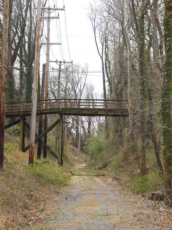
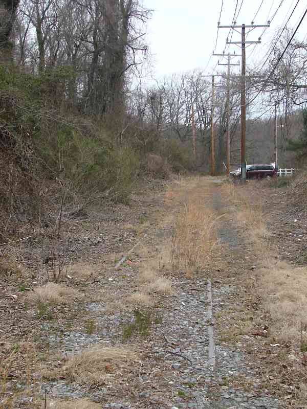
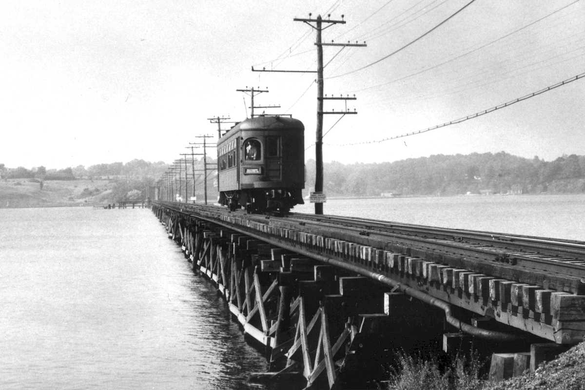
TrainWeb.org Facebook Page
ASL Photo Tour


Annapolis Short Line
Modern day photo tour

Accompanying each photo below are:

Click a photo to see a larger view. Please send your comments and corrections to Steve.


<< Previous (index) | THIS PAGE: Annapolis to Winchester | Next (north) >>

Brief Historical Background: ASL

Map 1937

Map 1937
Mile: Date: 1937
Ease: View: N (up)
Area: EH:
Map: Topographic Maps

In many places, electric interurban railways were the first to string power-carrying wires outside the big cities. With electricity so close, it was inevitable that towns along the line would request, and purchase, power from the railways.

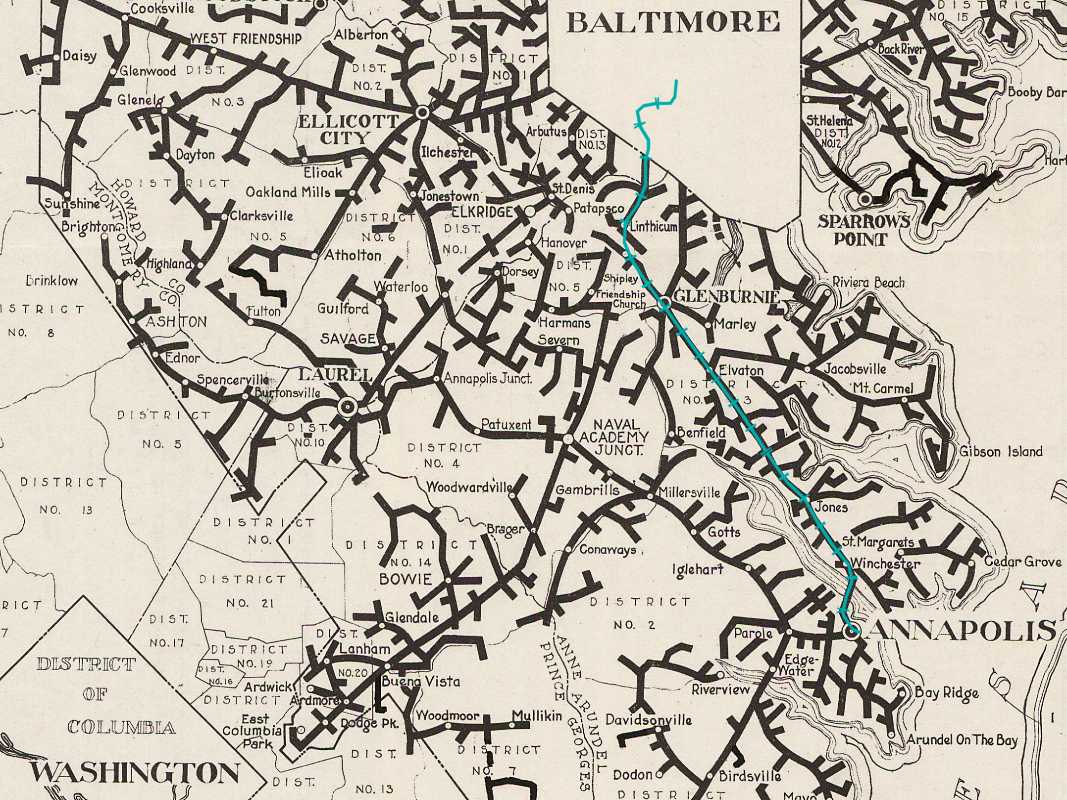
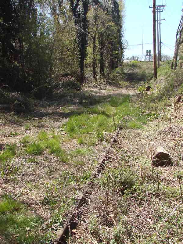
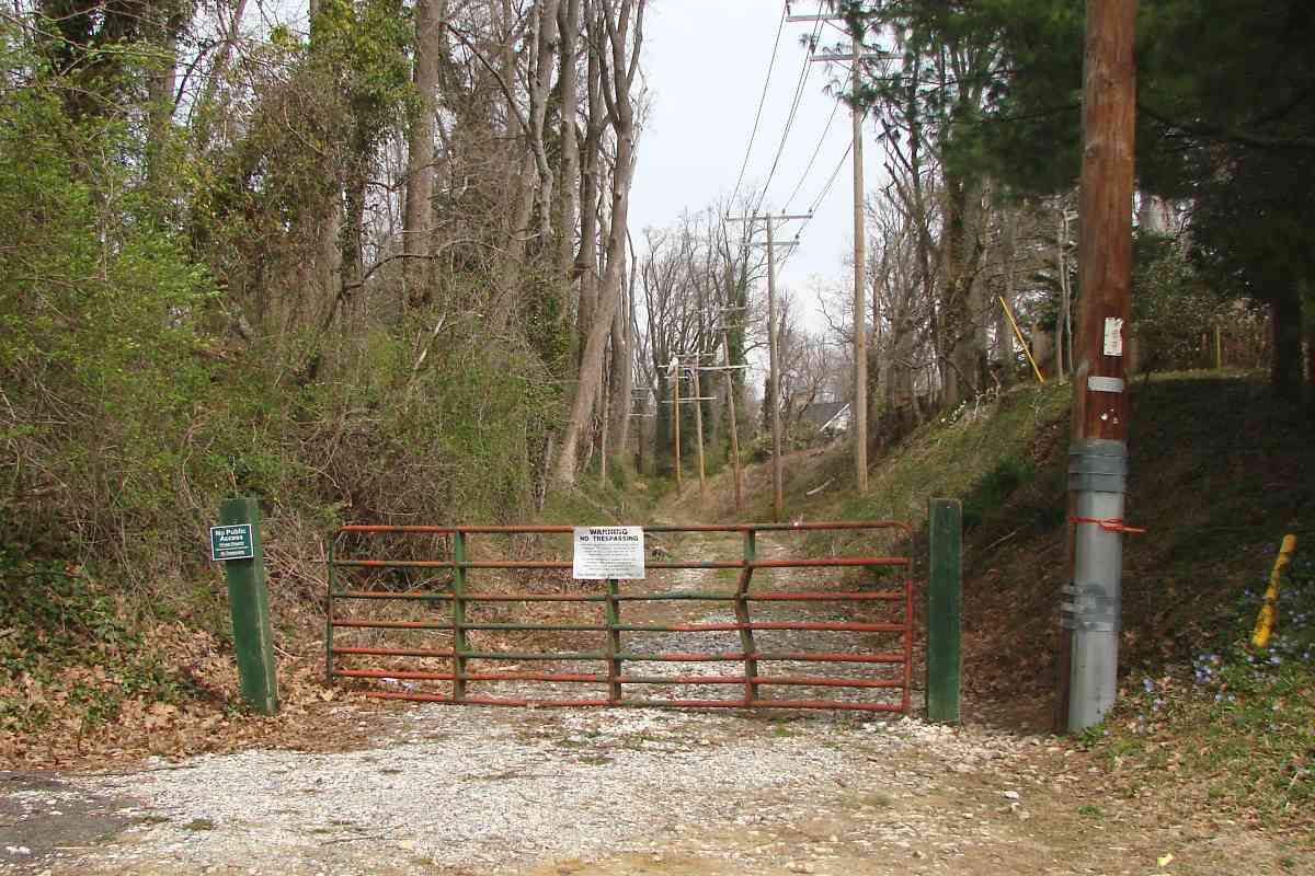
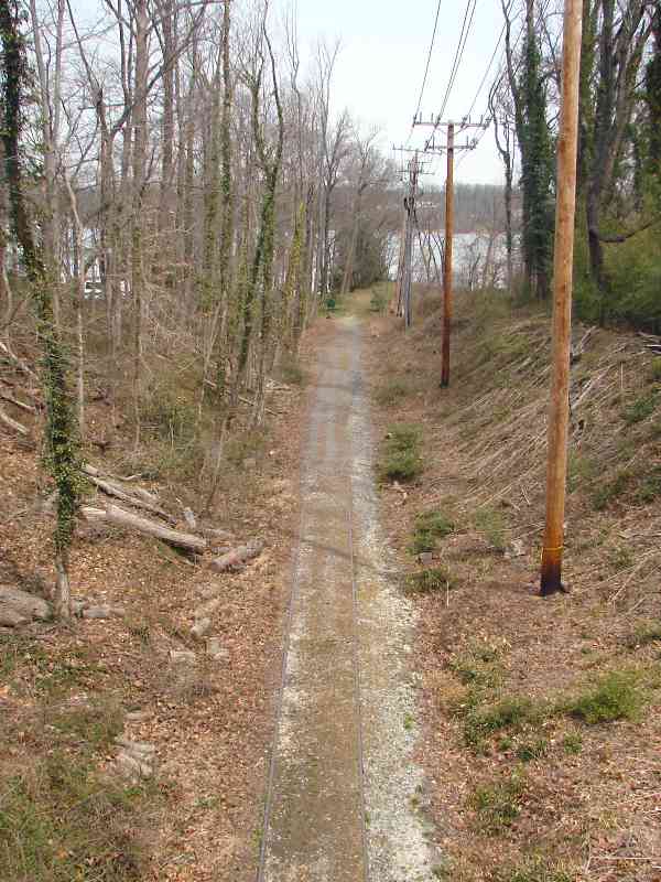
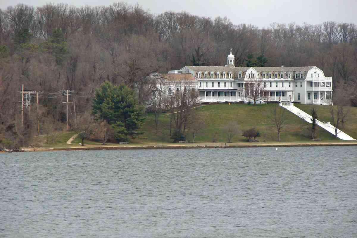
As this electricity distribution map from 1937 shows, the service grid is perhaps the primary legacy of the interurbans. Even today power lines follow many of the long-disused railways, then branch off along spurs or state roads.

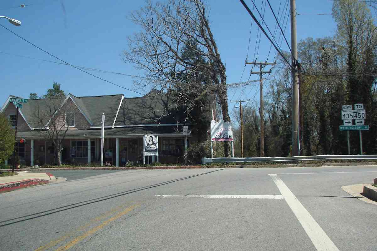
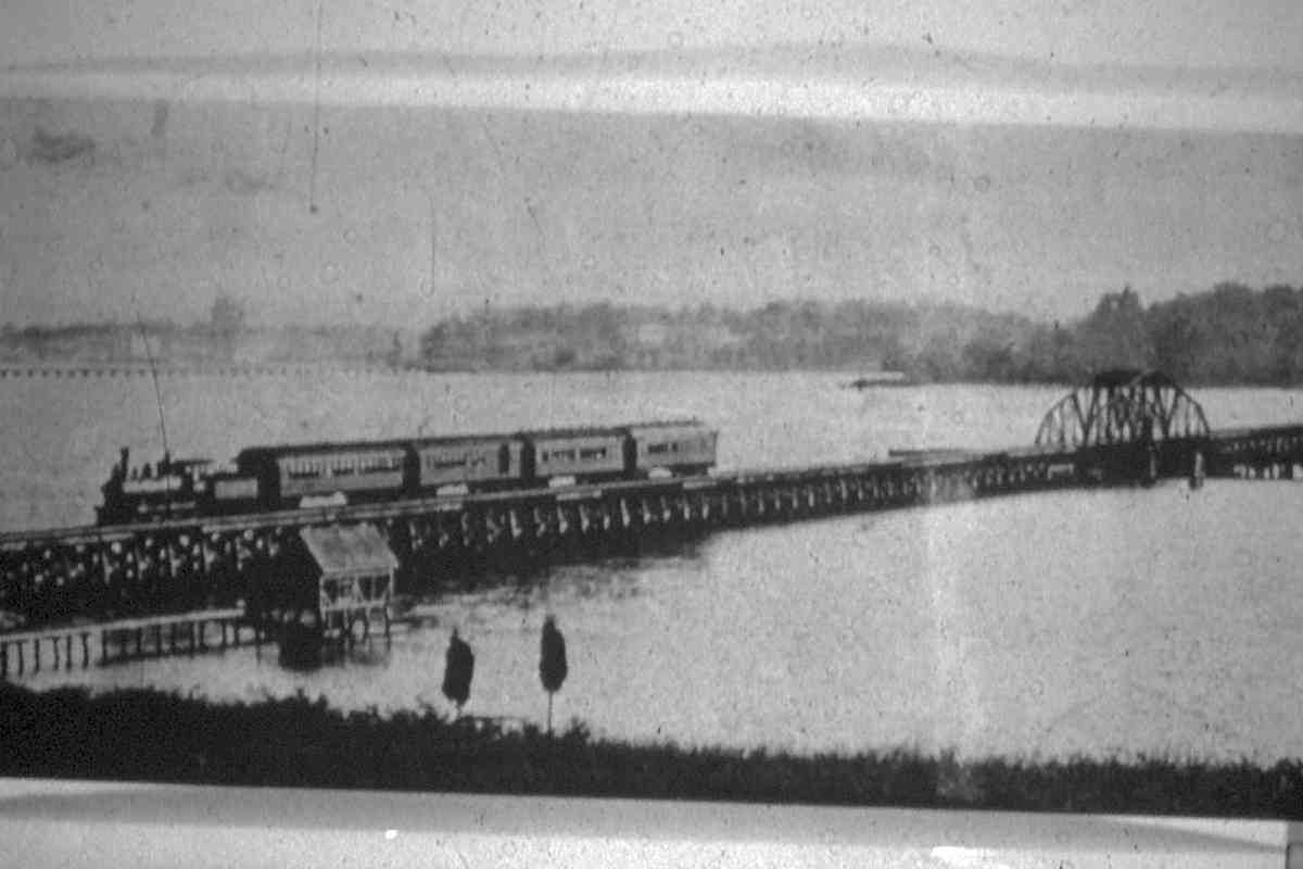
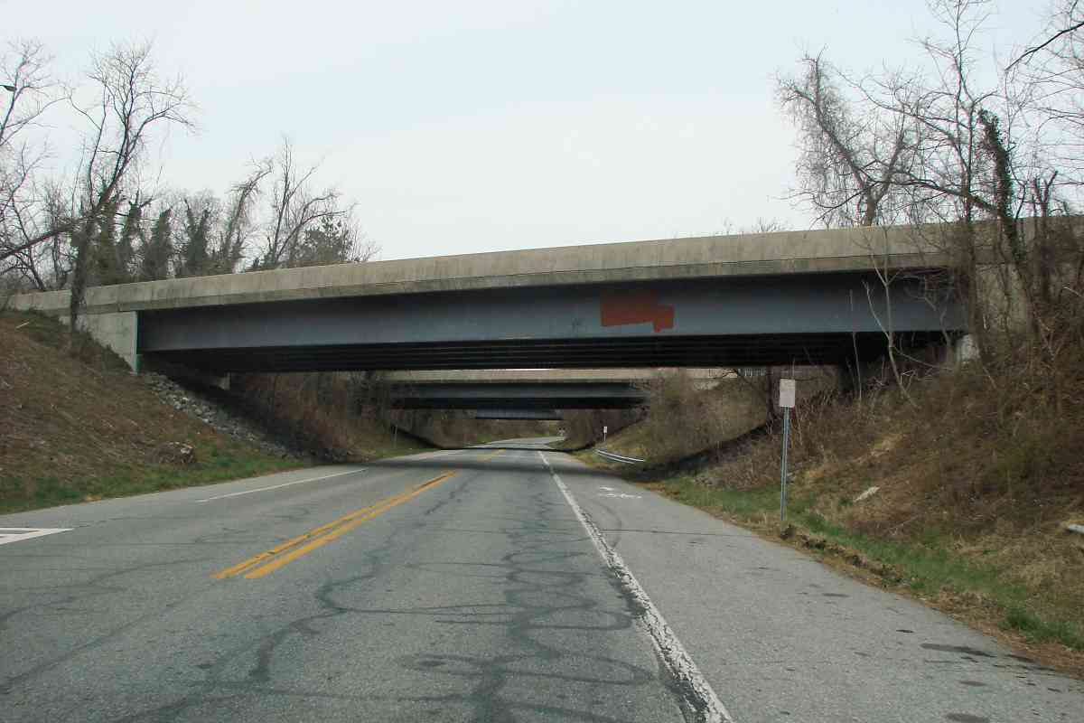
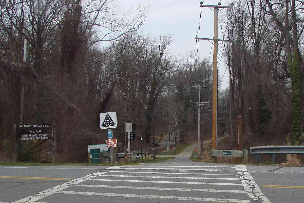
Regardless of which company had operated it at various times, this tour follows the route from the Maryland city of Annapolis (bottom) generally north to Baltimore (top) as traced by the blue green line.


Bladen Street Station
Photo credit HH Harwood

Bladen Street Station
Mile: 0.0 Date: Jan 1950
Ease: A View: NW
Area: A EH:
Map: AA 20 K 9 Topographic Maps

ASL built the first rail station at this location, about 1000 feet northwest of Annapolis, Maryland's state capitol building, shortly after rail service commenced March 9, 1887.

At photo time the Bladen Street Station belonged to the B&A who by then was shifting rail passengers to buses.


ASL Era
Photo courtesy Maryland State Archives

ASL Era
Mile: 0.0 Date: ~1900
Ease: A View: S
Area: A EH: 145
Map: AA 20 J 9 Topographic Maps

This is an opposite view of the same station prior to the 1908 electrification of the line. During 1921 ASL was purchased by WB&A which itself endured only 14 more years until B&A took up operation.

Towering in the background is the Maryland State House, which per Maryland.gov is "the oldest state capitol (1772) in continuous legislative use and is the only state house ever to have served as the nation's capitol." The lightning rod at the peak was designed by Benjamin Franklin.


Electrification
Photo courtesy HH Harwood collection

Electrification
Mile: 0.0 Date: ~1908
Ease: View: ?
Area: EH:
Map: AA 20 J 9 Topographic Maps

This photo of ASL 30 at Annapolis yard was taken shortly after the line was electrified. "The Maryland Electric Railways" is lettered in all upper case on the unit's side. ASL 34 follows behind. Herb Harwood writes:

    "Note the train includes two former steam coaches. As you may know, these original cars had a quirky history. They became surplus when the ASL converted to direct current in, I think, 1913, but were kept around. They then migrated to the WB&A during WWI as unpowered trailers to help handle Camp Meade traffic. The WB&A then rebuilt them as freight motors (one remaining as a freight/express trailer). After the WB&A's abandonment, two went to Capital Transit to handle Benning power plant coal shipments, and one of those then went to the Hagerstown & Frederick, where it operated until after WWII. The B&A inherited the freight trailer, which also survived WWII."


Growth
Photo credit James P. Shuman

Growth
Mile: 0.0 Date: May 1936
Ease: A View: SE
Area: A EH: 87
Map: AA 20 J 9 Topographic Maps

While under WB&A control during the Roaring '20s more tracks were added around the station. During this period the WB&A developed a plan to connect this ex-ASL route, its North Shore Division, with the ex-A&ER, the South Shore Division. The respective Annapolis Stations were little more than 1000 feet apart via the downtown streets, but then the Great Depression hit and scuttled that plan.


Bladen Street Now

Bladen Street Now
Mile: 0.0 Date: Apr 2018
Ease: A View: SE
Area: A EH:
Map: AA 20 J 9 Topographic Maps

The equivalent modern view from the same spot shows nothing left of the railroad, though the State House endures.


College Creek
Photo courtesy HH Harwood collection

College Creek
Mile: 0.1 Date: Sep 1949
Ease: B View: NW
Area: A EH: 104
Map: AA 20 J 8 Topographic Maps

To depart Annapolis trains spanned College Creek via this trestle. The swing bridge at center allowed boats to pass. Some maps name this Dorseys Creek.


Rowe Boulevard

Rowe Boulevard
Mile: 0.1 Date: Apr 2018
Ease: A View: NW
Area: A EH:
Map: AA 20 J 9 Topographic Maps

poles What's left is a protrusion of land into water at the location of the former trestle, as seen from where parallel Bladen Street becomes Rowe Boulevard. cable The zoom view shows wooden supports still poking above the water line.

No longer seen ahead is the grade crossing of a separate route leading to Bay Ridge Junction, where the B&A finally did connect the old WB&A North and South Shore Divisions. The grade crossing was visible into the 1970s.

Along College Creek's Annapolis-side bank a forgotten Cable Crossing sign, found adjacent many old rail bridges, is too faded to alert anyone but boaters who are already sufficiently alert to notice.


Taylor Avenue

Taylor Avenue
Mile: 0.6 Date: Apr 2018
Ease: A View: NE
Area: A EH:
Map: AA 20 J 8 Topographic Maps

After College Creek the rails turned north to cross Annapolis Road at Taylor Avenue, as utility poles attest. One of the line's many small stations had been off photo right, that spot now occupied by a fire station.


North Annapolis Then
Photo credit James P. Shuman

North Annapolis Then
Mile: 0.7? Date: May 1936
Ease: A View: SW?
Area: A EH:
Map: AA 20 J 8? Topographic Maps

This photo identified as "North Annapolis" might have been made from a no-longer-extant overpass for Tucker Street. If correct this view looks back to Annapolis Road before Taylor Avenue was added.


North Annapolis Now

North Annapolis Now
Mile: 0.7 Date: Apr 2018
Ease: A- View: SW
Area: A EH:
Map: AA 20 J 8 Topographic Maps

King George Street As of 2018 rails could still be found at Tucker Street, as well as a switch for a 1930 Navy-built spur directly to the Naval Academy's power house; there remains a hint of an opening of the trees on the left where that spur ran.

The spur crossed College Creek adjacent and parallel to the King George Street bridge; no artifacts of it remain though pipes now trace its route.


Old Crossing Lane

Old Crossing Lane
Mile: 1.0 Date: Apr 2018
Ease: A View: NE
Area: A EH:
Map: AA 20 J 7 Topographic Maps

Given its name, Old Crossing Lane probably was an at-grade intersection. The cut for the tracks remains obvious.


Wardour

Wardour
Mile: 1.2 Date: Apr 2018
Ease: A View: N
Area: A EH:
Map: AA 20 J 7 Topographic Maps

At Wardour we get close enough to see the Severn River, the ASL's longest water crossing. Those rails below have not carried a train since 1968, which means they have gone unused longer than they had been used by the WB&A and B&A combined.


Kent Road

Kent Road
Mile: 1.3 Date: Apr 2018
Ease: B+ View: S
Area: A EH:
Map: AA 20 J 6 Topographic Maps

The previous photo was snapped from the Kent Road bridge.


Special
Photo credit JJ Bowman

Special
Mile: 1.3 Date: Aug 1935
Ease: B+ View: S
Area: A EH:
Map: AA 20 J 6 Topographic Maps

During a WB&A Farewell trip some 80-plus years earlier, the Kent Road bridge looked remarkably similar. The signal plaque reads C13. To my knowledge the WB&A considered the trip from Baltimore to Annapolis to be westbound, hence this signal's number ends with an odd digit.


Wardour Station

Wardour Station
Mile: 1.3 Date: Apr 2018
Ease: B+ View: N
Area: A EH: 77
Map: AA 20 J 6 Topographic Maps

Wardour's small, green-painted, waterfront station is gone but concete stairs to the platform remain intact. Wardour is a community along the south bank of the Severn River. The station, basically a waiting shack, had been on the west side of the tracks (left), along with a stub siding found at many B&A stops.

Link: West Annapolis history


Severn River Then
Photo courtesy HH Harwood collection

Severn River Then
Mile: 1.3 Date: Nov 1941
Ease: A- View: N
Area: A EH: 81
Map: AA 20 J 6 Topographic Maps

photo credit HH Harwood Jan 1950 photo credit James P. Shuman May 1936 The railroad spanned the Severn River via this nearly half-mile long trestle. Slow deterioration of the timbers led to the bridge's closure during 1968 at which time freight train service ceased. B&A passenger service had ended during 1950. Additional photo credits to HH Harwood and James P. Shuman, left to right respectively.


Severn River Now

Severn River Now
Mile: 1.3 Date: Apr 2018
Ease: B+ View: N
Area: A EH:
Map: AA 20 J 6 Topographic Maps

Manresa The north end of the bridge delivered trains back to land immediately left of the large white building. That end of the bridge was removed during 1981 while the portion south of the swing bridge endured a few years longer.

From the WB&A the Jesuits religious group during the 1920s purchased land adjacent to the railroad's Severnside Station then constructed the large building, now the Manresa Assisted Living facility (photo right). Manresa is the name of the Spanish city near Barcelona at which St. Ignatius of Loyola experienced an inspiration to establish the Catholic sect known as the Society of Jesus. The utility poles to the left of Manresa mark the ex-railroad right of way, where the tour continues below.

Link: Manresa history


Sream
Public domain photo

Steam
Mile: 1.9 Date: ~1900
Ease: View: SE
Area: EH: 65
Map: AA 20 K 5 Topographic Maps

Prior to the line's 1908 electrification, ASL employed steam power, such as for this Baltimore-bound train. The mid-river swing bridge permitted boat traffic to pass.

Link: many old photos


Spit

Spit
Mile: 1.9 Date: Apr 2018
Ease: B View: SW
Area: A EH:
Map: AA 20 K 5 Topographic Maps

dangling ASL came ashore the north bank at this spit of land. The concrete wall (bottom right) dates to the 1920s as erosion control for Manresa.

As seen with magnification from the south bank (left), a V of rusty B&A rails still dangles off the end of the eroding spit. Aerial photos show wooden posts, remnants of the trestle, in the nearby water.


Artifacts

Artifacts
Mile: 1.9 Date: Apr 2018
Ease: B View: S
Area: A EH:
Map: AA 20 K 5 Topographic Maps

The overgrown spit itself is home to numerous railroad artifacts including these rail segments. That's the Severn River at upper left and right corners.


Severnside Station

Severnside Station
Mile: 1.9 Date: Apr 2018
Ease: B View: W
Area: A EH:
Map: AA 20 K 5 Topographic Maps

One can still find concrete steps leading to the former rail stop adjacent Manresa.

A small company named Historic Railroads proposed during 1970 to operate a steam-powered tourist railroad from Severna Park to this spot but the Public Service Commission denied the request. Motive power would have been ex-Mobile & Gulf #97, a 2-6-0 with a long history.

Links: M&G 97 history, pics


Ballast

Ballast
Mile: 2.0 Date: Apr 2018
Ease: B+ View: N
Area: A EH:
Map: AA 20 K 5 Topographic Maps

Rail and ballast, not to mention utility poles, lead the way from the river.


Boulters Way

Boulters Way
Mile: 2.4 Date: Apr 2018
Ease: A View: NW
Area: A EH:
Map: AA 20 K 4 Topographic Maps

Boulters Way now occupies about 1/3 of a mile of ASL's route north of Manresa, running under US 50 here in the Winchester neighborhood. Limited access US 50 arrived here during the 1950s with the opening of the Chesapeake Bay Bridge. US 50 stretches some 3000 miles between Sacramento, California and Ocean City, Maryland.

I strive to minimize the quantity of photos that show the absence of railroad artifacts, the exception being photos that illustrate a former right of way. Locations such as this one that are now easily accessed and recognizable help readers, especially local residents, relate to the tour route.


Horse Route

Horse Route
Mile: 2.7 Date: Apr 2018
Ease: A- View: SE
Area: A EH:
Map: AA 20 J 3 Topographic Maps

If you've been walking, biking, or horse riding south from Baltimore, the B&A trail ends where Boulters Way meets Winchester Road...


B&A Trail

B&A Trail
Mile: 2.7 Date: Apr 2018
Ease: A View: NW
Area: A EH:
Map: AA 20 J 3 Topographic Maps

... however from the point of view of this tour we're just getting warmed up! The B&A trail, named for the last railroad to operate along the route, occupies much of ASL's original right of way. keep electricity safe

By the way, I'm sure you will be happy to learn from this trailside sign that the local utility is protecting the safety of electricity, after all, no one wants to see electricity get injured.

More than 20 miles of ex-ASL lie ahead...

Link: B&A Trail info


<< Previous (index) | THIS PAGE: Annapolis to Winchester | Next (north) >>

Or, return to main page

Copyright Notice