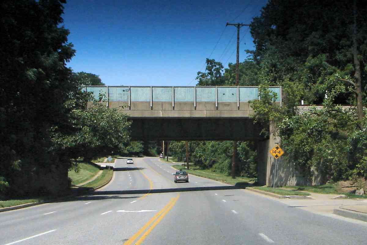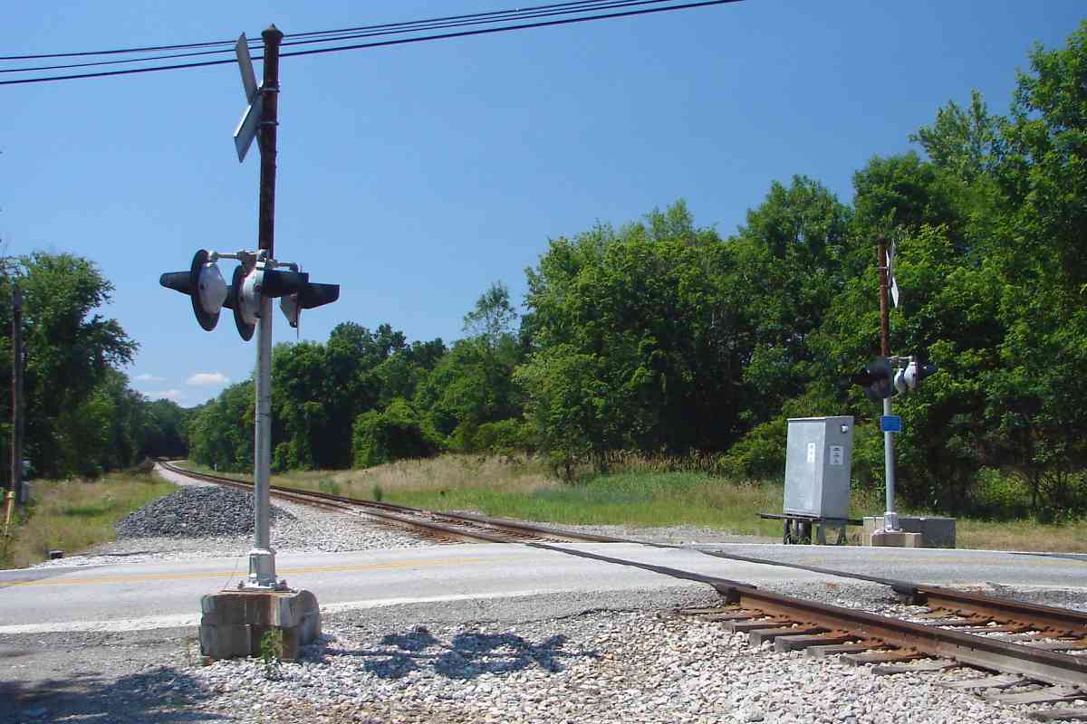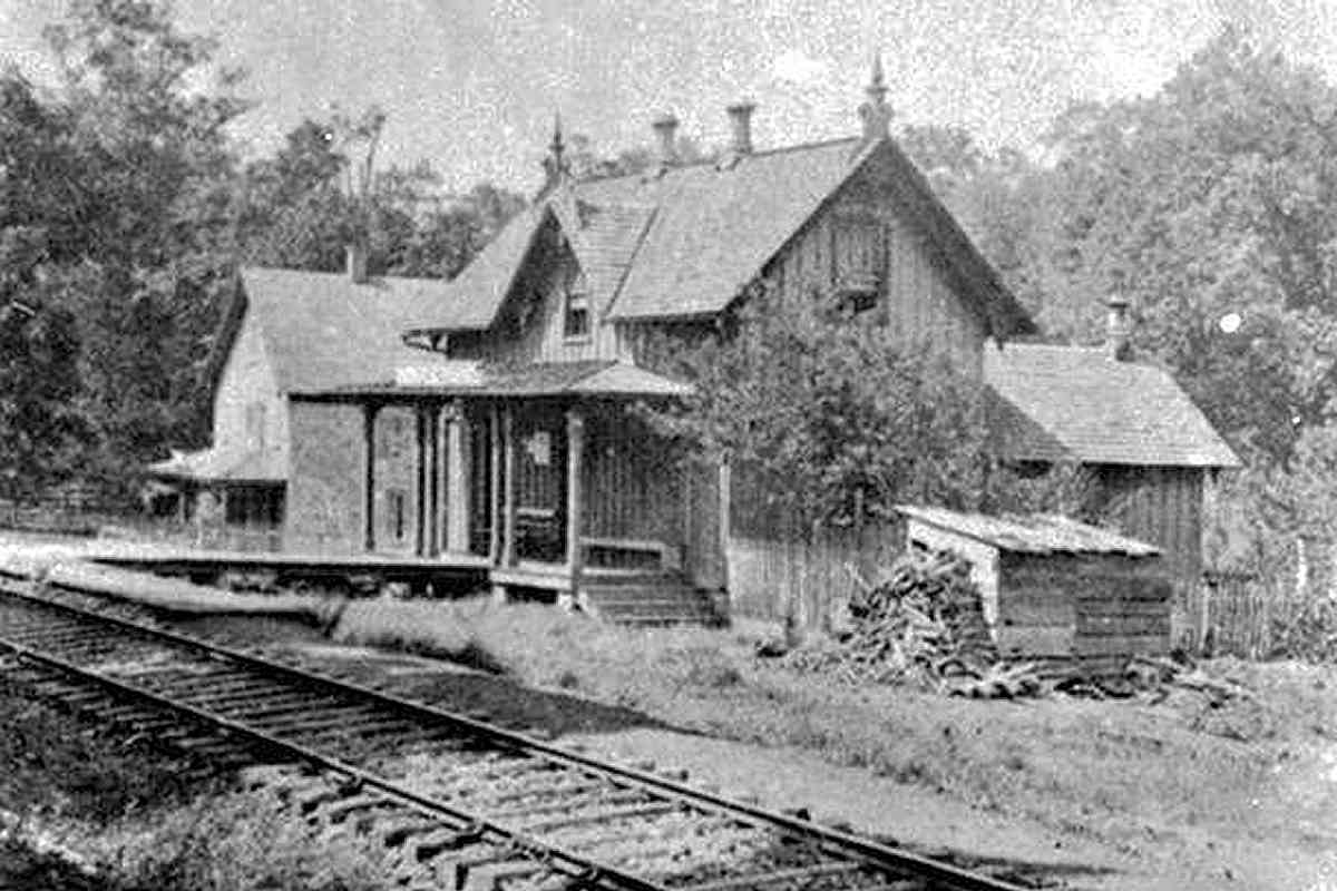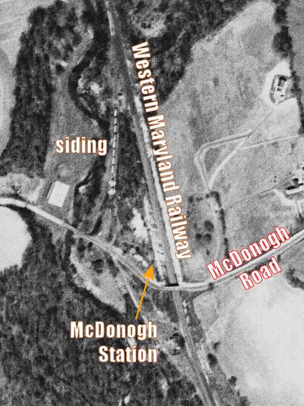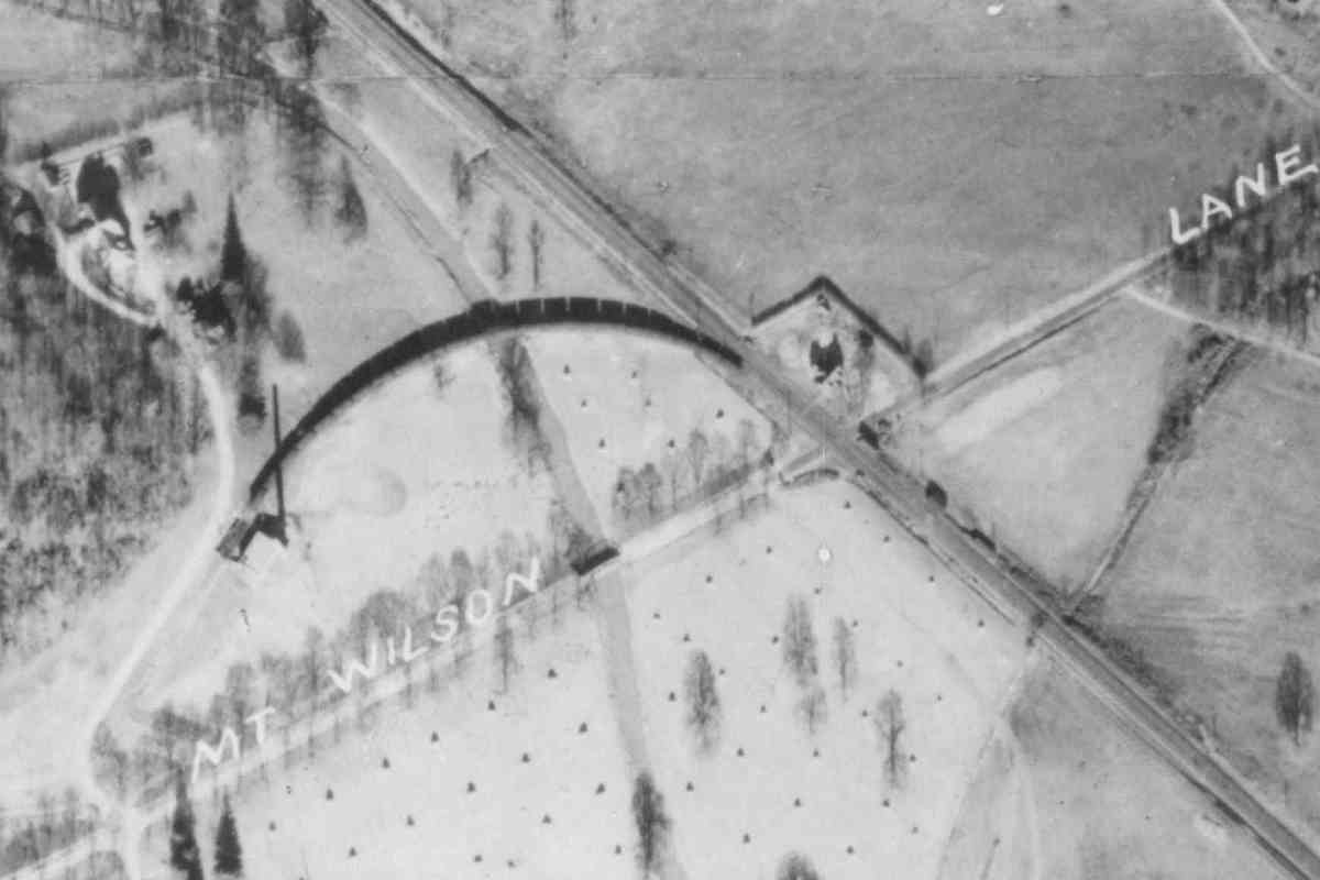
Same grade crossing, opposite view. WM's Mt. Wilson Station
had been across the road, on the right.
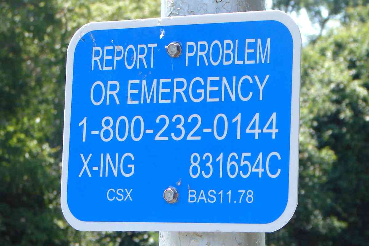
The blue sign tells us, among other facts, the CSX identifier
for this route is BAS.
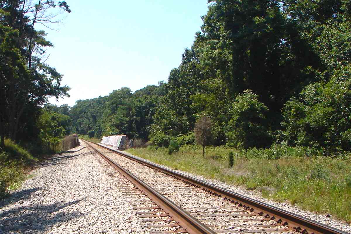
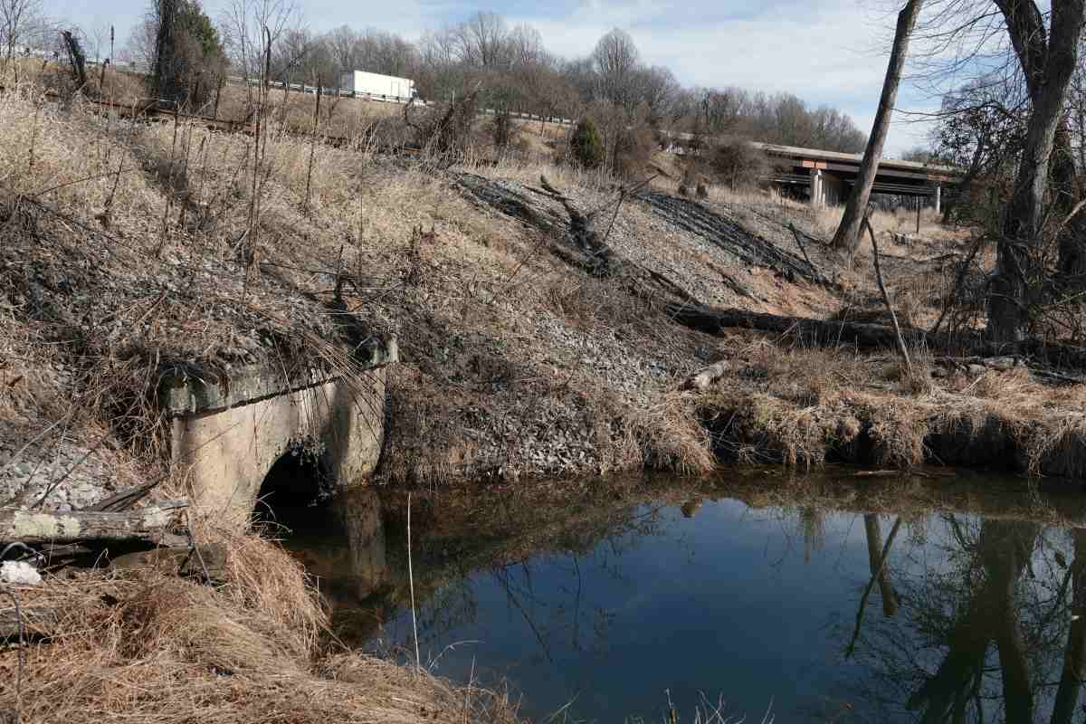
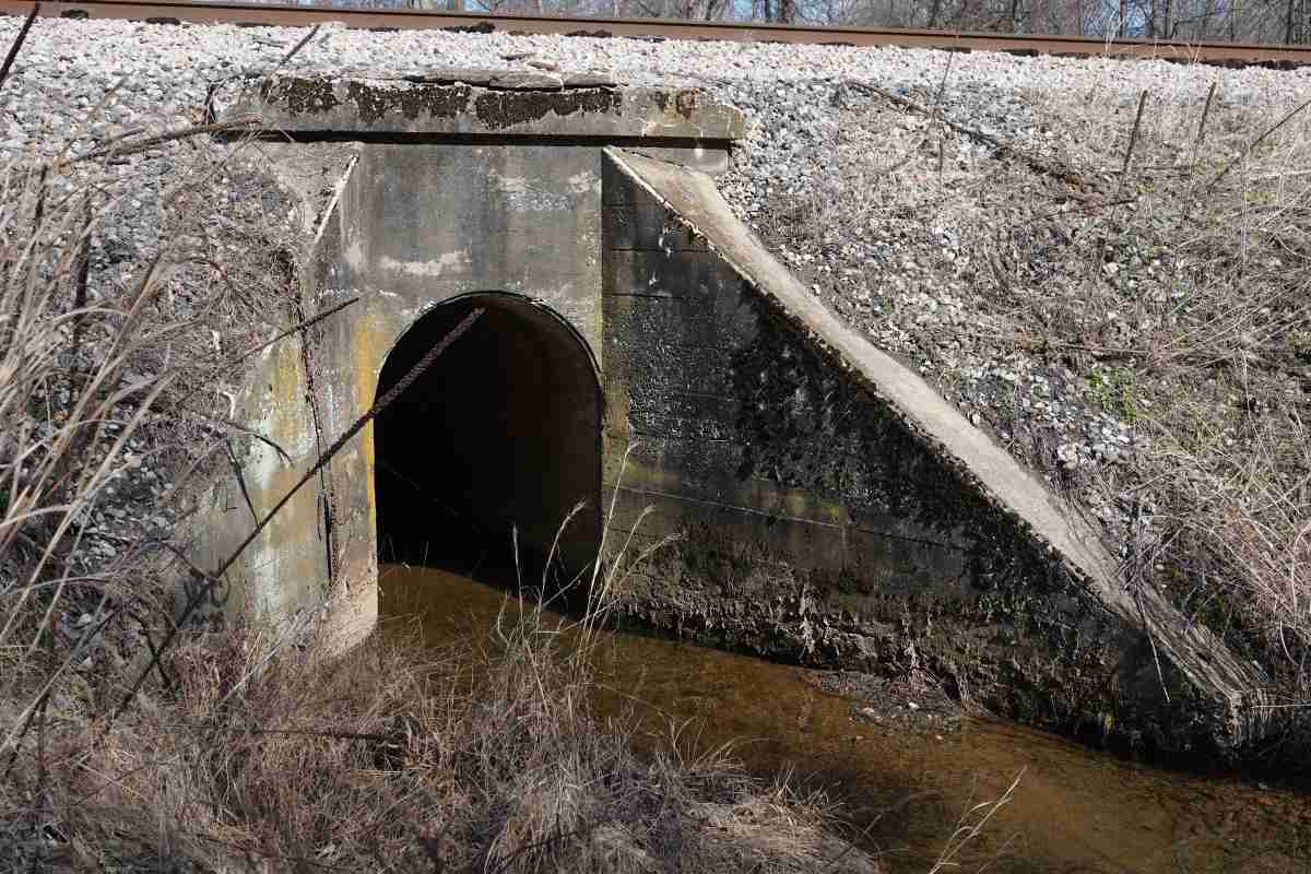
Immediately beyond this grade crossing, a short spur/siding arced
left and crossed Gwynns Falls to serve the Thomas Wilson Sanitarium
for Children.
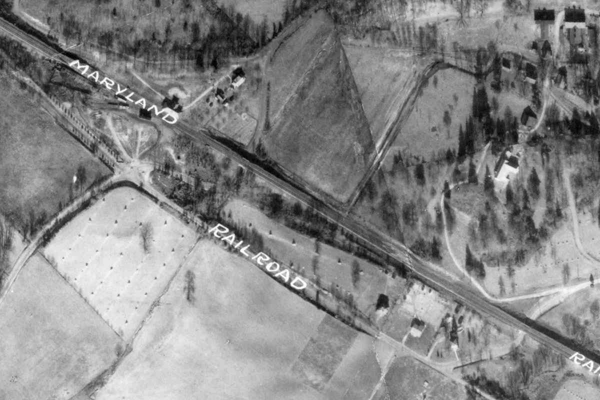
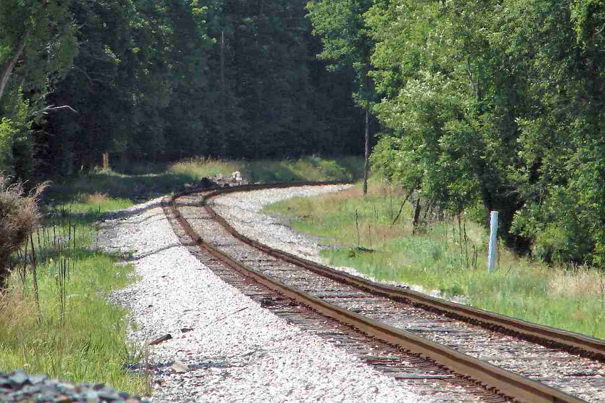
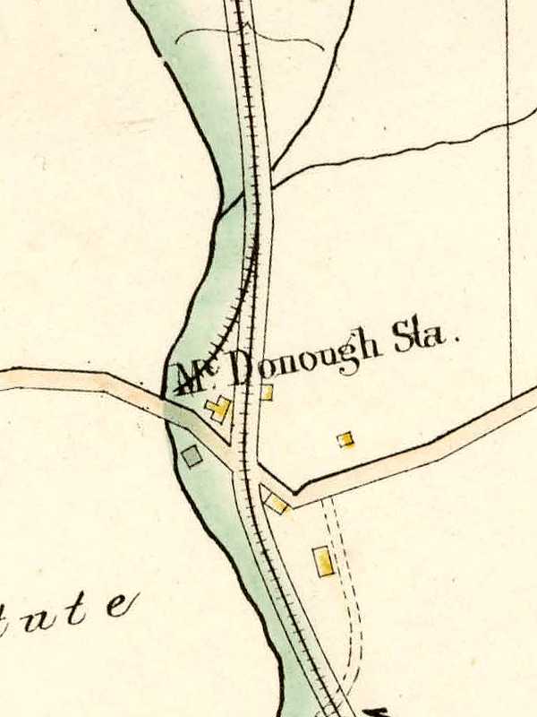
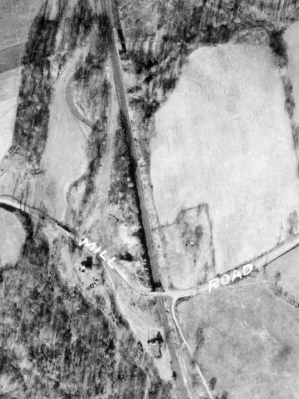
 Thar arc of track is readily visible in this 1927 aerial
(photo courtesy Johns Hopkins University). Shadows
suggest coal hoppers are waiting on the spur.
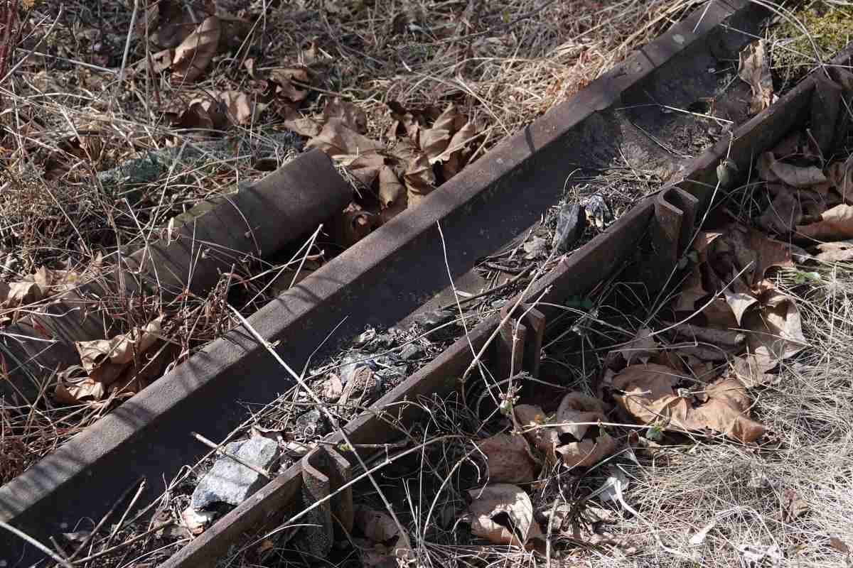
Stephen Miller reports:
Thar arc of track is readily visible in this 1927 aerial
(photo courtesy Johns Hopkins University). Shadows
suggest coal hoppers are waiting on the spur.
Stephen Miller reports:
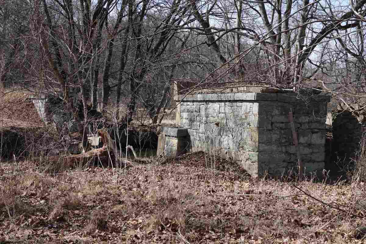
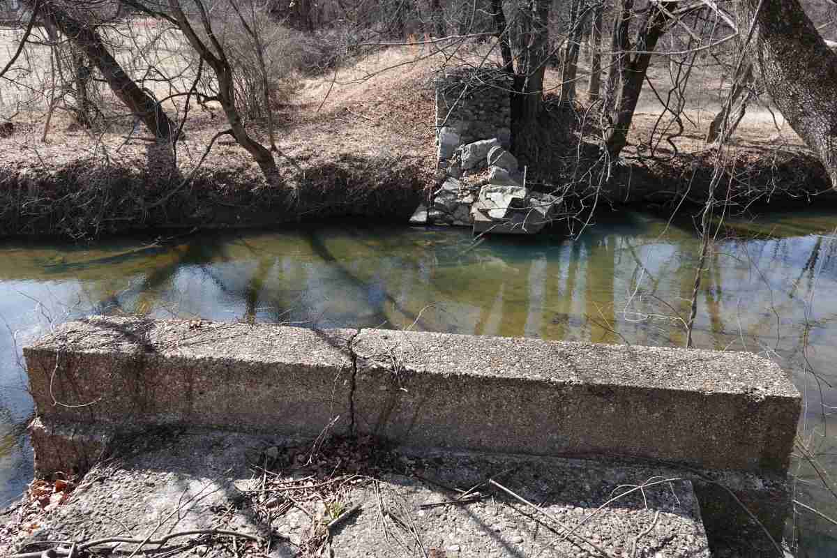
"At Mount Wilson Lane was a siding that crossed the Gwynns Falls
to access the heating plant for the Mount Wilson hospital that was on the
Hill above. I remember playing on it and exploring the remains of the
building when I was a kid."
The coal was for the Thomas Wilson Sanitarium for Children.
As of this writing, the Thomas Wilson Foundation continues to support the health
and welfare of children in Baltimore City.
Link:
Thomas Wilson Foundation
|