TrainWeb.org Facebook Page
WM Photo Tour


Western Maryland Railway
Modern day photo tour

Accompanying each photo below are:

Click a photo to see a larger view. Please send your comments and corrections to Steve. Aerial photos courtesy Johns Hopkins University.


<< Previous (east) | THIS PAGE: Lucille Park to Mount Hope | Next (west) >>

Cold Spring Lane

Cold Spring Lane
Mile: 6.0 Date: Apr 2016
Ease: B View: NW
Area: F IC2:
Map: Ba 34 D 5 Topographic Maps

As we approach Cold Spring Lane the ex-WM line and Metro will be close friends for another mile.


Grade Crossing

Grade Crossing
Mile: 6.1 Date: Jan 2016
Ease: A View: NE
Area: F IC2:
Map: Ba 34 C 5 Topographic Maps

Metro casts a shadow upon the Cold Spring Lane grade crossing, the first since mile 0.5. This road was previously named Kate Avenue.


Tank

Tank
Mile: 6.1 Date: Apr 2016
Ease: A View: W
Area: F IC2:
Map: Ba 34 C 5 Topographic Maps

This trackside cylinder appears to be a tank for railroad purposes. There's a similar one about 4 miles west. Anyone know its use?


CSX 516

CSX 516
Mile: 6.4 Date: Apr 2016
Ease: A- View: SE
Area: F IC2:
Map: Ba 34 C 4 Topographic Maps

What do you do when a train unexpectedly arrives seconds after you? You power up your camera and snap pics no matter the angle or lighting.

The location is Lewin Avenue's former grade crossing. For fans of The Wire this is just two blocks from the filming location of the shooting of Avon Barksdale. The trackside drinking scenes in The Wire were filmed at the B&O Museum's yard near Monroe Street.


Poles

Poles
Mile: 6.4 Date: Apr 2016
Ease: B View: NW
Area: F IC2:
Map: Ba 34 C 4 Topographic Maps

CSX has yet to remove this section of utility poles, letting us capture the appearance of this area during WM's glory years. What about the elevated Metro line? That's left for the viewer with Photoshop to solve.

During the early 1900s, WM had maintained assorted sidings in this area, most of which gave way to Wabash Avenue.


Wabash Avenue

Wabash Avenue
Mile: 6.6 Date: Apr 2016
Ease: A View: NW
Area: D- IC2:
Map: Ba 34 B 4 Topographic Maps

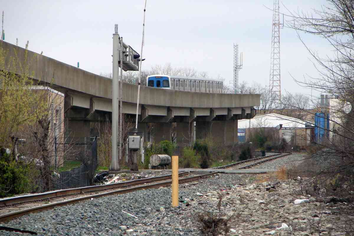
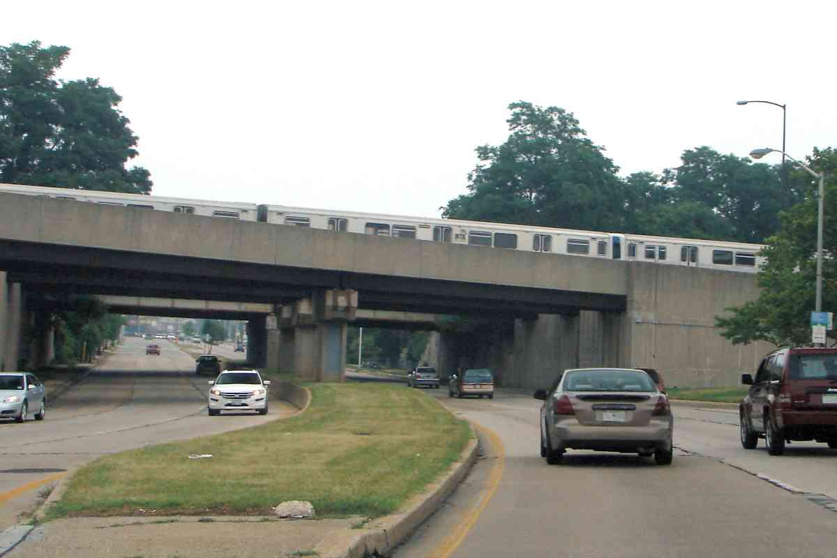
Parallel on the other side of Metro, Wabash Avenue was to connect to I-795, and perhaps 
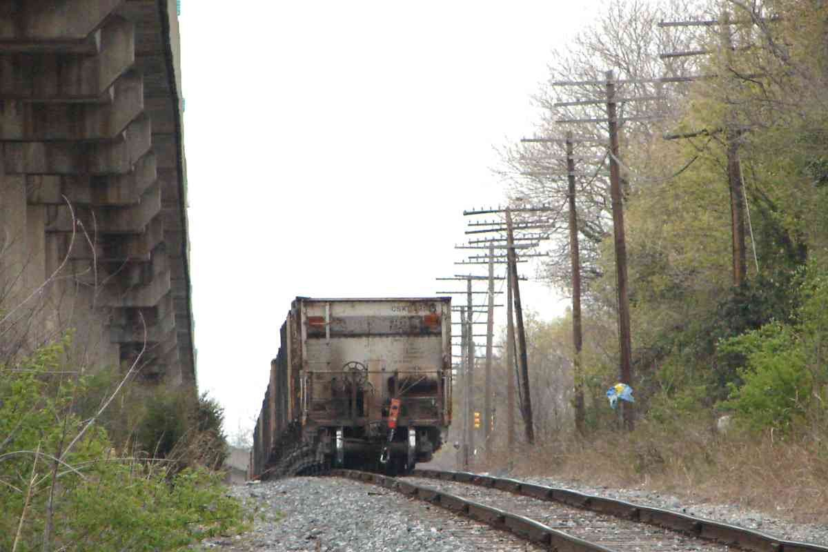
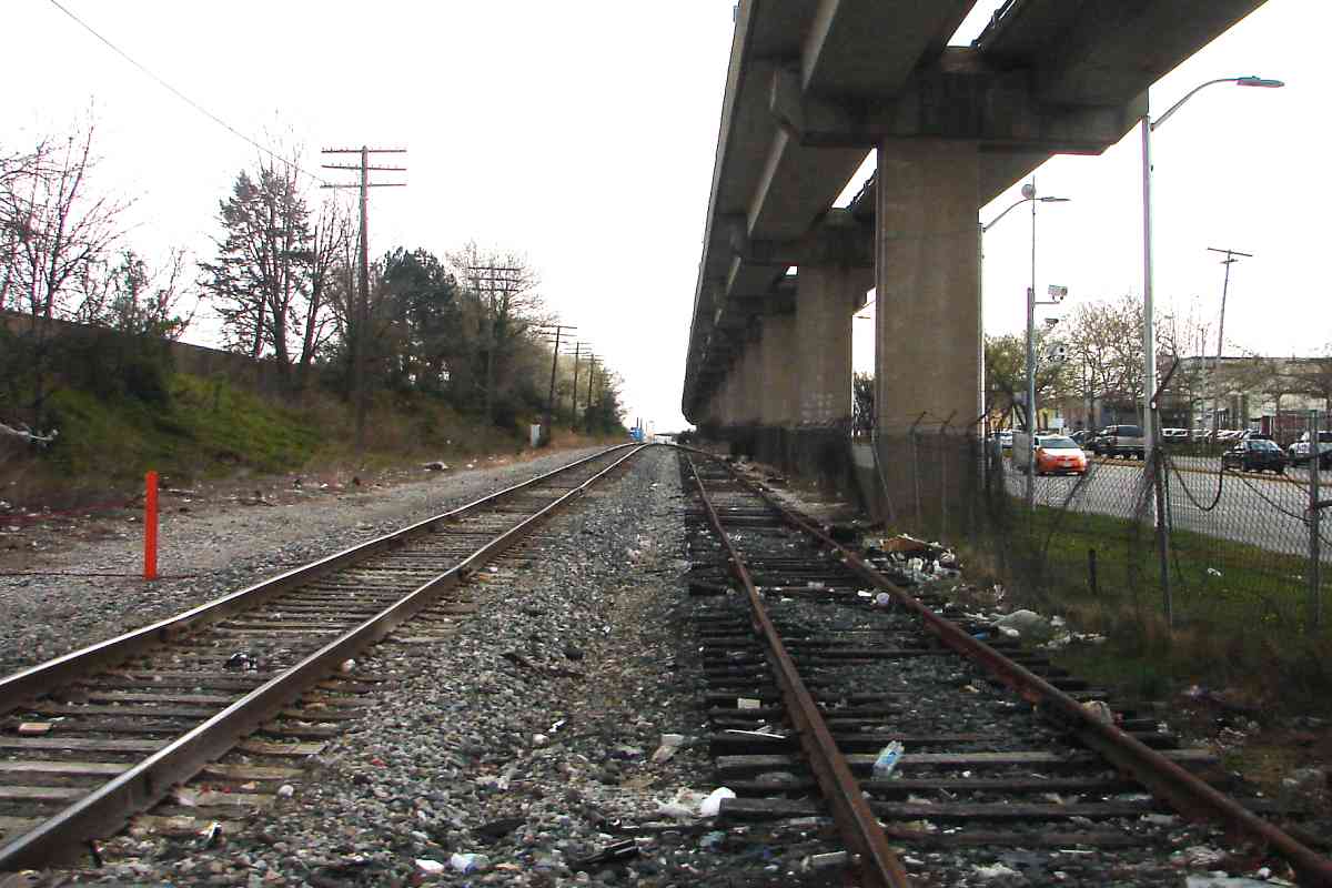
will someday. Why the name Wabash? The Wabash Railroad was a main component of a transcontinental rail system nearly completed by George Gould, son of rail baron Jay Gould, after his ouster from the presidency of the Erie Railroad. George bought majority interest in the Western Maryland from Baltimore City so the network would connect to an Atlantic Ocean port (Baltimore).

Some other Gould railroads in this network were Missouri Pacific, Texas & Pacific, Missouri Kansas & Texas ("Katy"), Denver & Rio Grande, and Western Pacific. Kingdon Gould III, the great-great-grandson of Jay Gould, is behind the Konterra development project along I-95 in Anne Arundel County.

Link: more about Wabash Avenue


Turn Warning Signal

Turn Warning Signal
Mile: 6.7 Date: Apr 2016
Ease: A View: NW
Area: D- IC2:
Map: Ba 34 B 4 Topographic Maps

signal Along Wabash Avenue at both the Garrison and Belvedere Avenue grade crossings a railroad-style signal warns right-turning drivers of an approaching train.

Because trains (and I) are infrequent here, I have yet to see this signal illuminated, and therefore do not know if the bottom lamp displays an icon, text, or merely a plain flashing light.

Link: perhaps like this


Double Track

Double Track
Mile: 6.7 Date: Apr 2016
Ease: A View: E
Area: D- IC2:
Map: Ba 34 B 4 Topographic Maps

Looking back from Belvedere to Garrison finds a switch and disused extra track not only remaining from double-track days but also reflective of an original WM alignment abandoned long ago.


Another
Updated Jan 2017

Another
Mile: 6.8 Date: Apr 2016
Ease: A View: W
Area: D IC2:
Map: Ba 34 B 4 Topographic Maps

signal

At the next intersection, that of Wabash and Belvedere Avenues, a similar signal for drivers is mounted.

Such special warning signals are almost certainly required by tranportation regulations regarding grade crossings. Those regulations span hundreds of pages, if not thousands -- I did not count -- and can be seen at the link below.

David Earp reports:

    "Where the track crosses Belvedere Ave., the #15 streetcar tracks used to cross the WM at a set of diamonds. Belvedere Ave. wasn't put through until later - it ended east and west of the WM tracks."

Link: DOT grade crossing regs


Arlington Station
Photo courtesy WM WestSub

Arlington Station
Mile: 6.8 Date: 1917
Ease: A View: W
Area: D IC2:
Map: Ba 34 B 4 Topographic Maps

Look, a photo without Metro towering overhead!

WM's Arlington Station had been located at the southwest corner of the Belvedere Avenue grade crossing. Just west of the station a new, straighter, mile-long alignment was built around 1920.


Station Site Later

Station Site Later
Mile: 6.8 Date: Apr 2016
Ease: A View: W
Area: D IC2:
Map: Ba 34 B 4 Topographic Maps

This is roughly the same view almost 100 years later.

Bulk goods and construction materials were delivered by train to Arlington Station, and though the station is long gone, as you can see on the left materials are still staged here, albeit via truck delivery. Grade-crossing asphalt completely covers the disused track. As of 1915, another siding curved to the right, adjacent the Zimmerman Ice Company.

Ahead where WM and Metro now curve to the right, previously WM had continued straight.


Original Alignment

Original Alignment
Mile: 7 to 8 Date: 1927
Ease: View: N (up)
Area: IC2:
Map: Ba 34 A 3 Topographic Maps

This overhead view from 1927 compares the two alignments before subsequent development erased the original. The grade separation at Rogers Avenue, at the time a major road to Pimlico Racetrack, might have been impetus for the realignment. Northern Parkway would not reach the railroad until about 40 years later. A Metro yard now occupies part of the area between the two alignments.


Milepost 7

Milepost 7
Mile: 7.0 Date: Apr 2016
Ease: A View: E
Area: D+ IC2:
Map: Ba 34 A 3 Topographic Maps

This view back to Belvedere Avenue from milepost 7 shows WM curves more than the Metro. The Metro runs closer to WM's original alignment.


Hayward Avenue

Hayward Avenue
Mile: 7.1 Date: Aug 2010
Ease: A View: NW
Area: D+ IC2:
Map: Ba 34 A 3 Topographic Maps

Cracks in the pavement at Hayward Avenue suggest old sidings or perhaps remains of the original alignment lurk below.

During the 1800s a WM spur ran northeast along Hayward Avenue to Pimlico Racetrack.


Bolted

Bolted
Mile: 7.2 Date: Apr 2016
Ease: A- View: SE
Area: C- IC2:
Map: Ba 34 A 3 Topographic Maps

radio Looking back from a short distance west, milepost 7's digit appears above the roof of the car crossing the tracks at Hayward Avenue.

On the left various equipment boxes sprout antennas, one of which is topped by this Sputnik, space-age-looking element. These are probably radio transmitters / receivers for train communication; some look old enough to have been inherited from WM.

Upon arrival here the roughest neighborhoods are behind. Ahead (northwest) the housing is generally newer and conditions less crowded.


Signal Box

Signal Box
Mile: 7.3 Date: Apr 2016
Ease: B View: N
Area: C- IC2:
Map: Ba 34 A 3 Topographic Maps

More disused WM signal boxes remain trackside near Rogers Avenue.


Rogers Avenue

Rogers Avenue
Mile: 7.3 Date: Apr 2016
Ease: A View: NE
Area: C- IC2:
Map: Ba 34 A 3 Topographic Maps

Rogers Avenue has been supplanted by Northern Parkway as the primary road to the other side of the tracks in this vicinity. The Metro line is casting the foreground shadow.


Northern Parkway 1964

Northern Parkway 1964
Mile: 7.4 Date: 1964
Ease: View: N (up)
Area: IC2:
Map: Ba 33 K 3 Topographic Maps

Baltimore City's Northern Parkway began during the 1950s as an east-west arc of concrete. The original plans called for it to connect to main arteries in Baltimore County, but the road doesn't quite make it out of the city.

In 1964 Northern Parkway had reached as far west as Reisterstown Road, as seen at the of upper right of this aerial photo. The bridge for WM to span the roadway was in place by this date.

Remnants of WM's disused original right-of-way appear here as an arc cutting through the trees from photo left edge to bottom edge.


Northern Parkway 1972

Northern Parkway 1972
Mile: 7.4 Date: 1972
Ease: View: N (up)
Area: IC2:
Map: Ba 33 K 3 Topographic Maps

Some eight years later Northern Parkway had found its way under WM to an intersection with the concurrently-built Wabash Avenue at lower left. At upper left is an active WM yard this tour will soon reach.


Northern Parkway 2011

Northern Parkway 2011
Mile: 7.4 Date: Jun 2011
Ease: A View: E
Area: C- IC2:
Map: Ba 33 K 3 Topographic Maps

This photo was snapped where WM's original alignment had run left to right. The nearest bridges belong to the Baltimore Metro, while that of WM is behind.


Yards

Yards
Mile: 7.4 Date: Apr 2016
Ease: B- View: W
Area: C- IC2:
Map: Ba 33 K 3 Topographic Maps

Trackside at the Northern Parkway bridge one can view the aforementioned Metro yard with repair shops (left), plus a now-rarely-used ex Western Maryland yard (right). WM called this area Leahigh.


MoW

MoW
Mile: 7.4 Date: Apr 2016
Ease: A- View: W
Area: C- IC2:
Map: Ba 33 K 3 Topographic Maps

CSX MoW units roll through the WM yard, past disconnected sets of tracks.


Milepost 8

Milepost 8
Mile: 8.0 Date: Apr 2016
Ease: B- View: W
Area: C- IC2:
Map: Ba 33 J 2 Topographic Maps

A whistle post and milepost 8 keep each other company at the west end of the forlorn yard.

Unseen on the right a siding dips into the trees.


Yard West End

Yard West End
Mile: 8.1 Date: Apr 2016
Ease: B View: SE
Area: C IC2:
Map: Ba 33 J 2 Topographic Maps

a reverse view of the yard...


Siding

Siding
Mile: 8.1 Date: Apr 2016
Ease: A View: SE
Area: C- IC2:
Map: Ba 33 J 2 Topographic Maps

Here's what's left of the siding mentioned a moment ago. Its elevation has always been much lower than the main line's.


Reisterstown Plaza Station

Reisterstown Plaza Station
Mile: 8.1 Date: Apr 2016
Ease: B+ View: NW
Area: C IC2:
Map: Ba 33 J 2 Topographic Maps

On the left the Metro's Reisterstown Plaza Station has erased artifacts of the WM's original alignment, which the current rejoins here.

From system opening in 1983 until 1987, this station had been the northwestern terminus of the line.

Link: Metro development history


Arched Bridge

Arched Bridge
Mile: 8.1 Date: Apr 2016
Ease: A View: SW
Area: C- IC2:
Map: Ba 33 J 2 Topographic Maps

arch filled The oldest grade separation along the WM line within Baltimore City is found here in the form of a stone arched bridge. It dates to the original construction of the line during the 1800s. Metro's arrival prompted closure of the passageway, which is now dirt-filled.

Though now pitch black dark under the arch, a camera flash can illuminate a bit of the interior.


Leaning

Leaning
Mile: 8.1 Date: Apr 2016
Ease: B View: NW
Area: C IC2:
Map: Ba 33 J 2 Topographic Maps

Yes, it's another signal and battery box, but this pair is slowly sliding down the hill.

Now a message for the unknown person whose keys were returned via the handy key return service tag attached to their ring: this is where you lost them.


Patterson Avenue

Patterson Avenue
Mile: 8.2 Date: Apr 2016
Ease: B View: NW
Area: C+ IC2:
Map: Ba 33 J 2 Topographic Maps

Not far beyond another signal box survives, this one with its pole. WM's station on the left was called Mount Hope, the name of the nearby retreat facilities housing about 600 insane patients during 1887. In 1946 the retreat was renamed Seton Institute, and operated until 1973 when its aging buildings became too costly to maintain.

The car is at the Patterson Avenue grade crossing, which is where this tour continues next.

Links: 1887 Report of the Maryland Lunacy Commission (PDF file), Mount Hope Retreat Image Gallery


<< Previous (east) | THIS PAGE: Lucille Park to Mount Hope | Next (west) >>

Or, return to main page for other tours

Copyright Notice