TrainWeb.org Facebook Page
B&O Washington Branch Photo Tour


B&O Washington Branch
Modern day photo tour

Accompanying each photo below are:

Click a photo to see a larger view. Please send your comments and corrections to Steve.


Brief Historical Background: Waste Management at Annapolis Junction / Jessup

Map 1907
Image courtesy USGS

Map 1907
Mile: 15.7 to 18.0 Date: 1907
Ease: View: N (right)
Area: IC2:
Map: AA 5 F 7, Ho 20 H 7 Topographic Maps

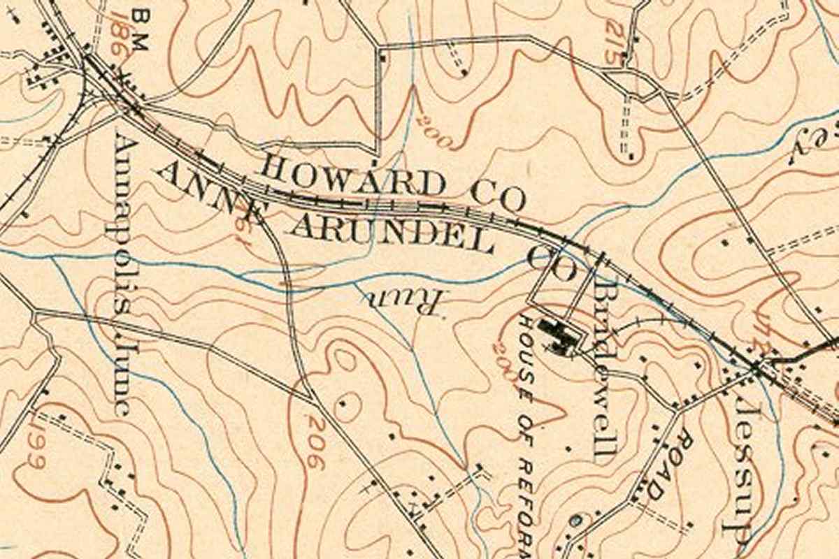
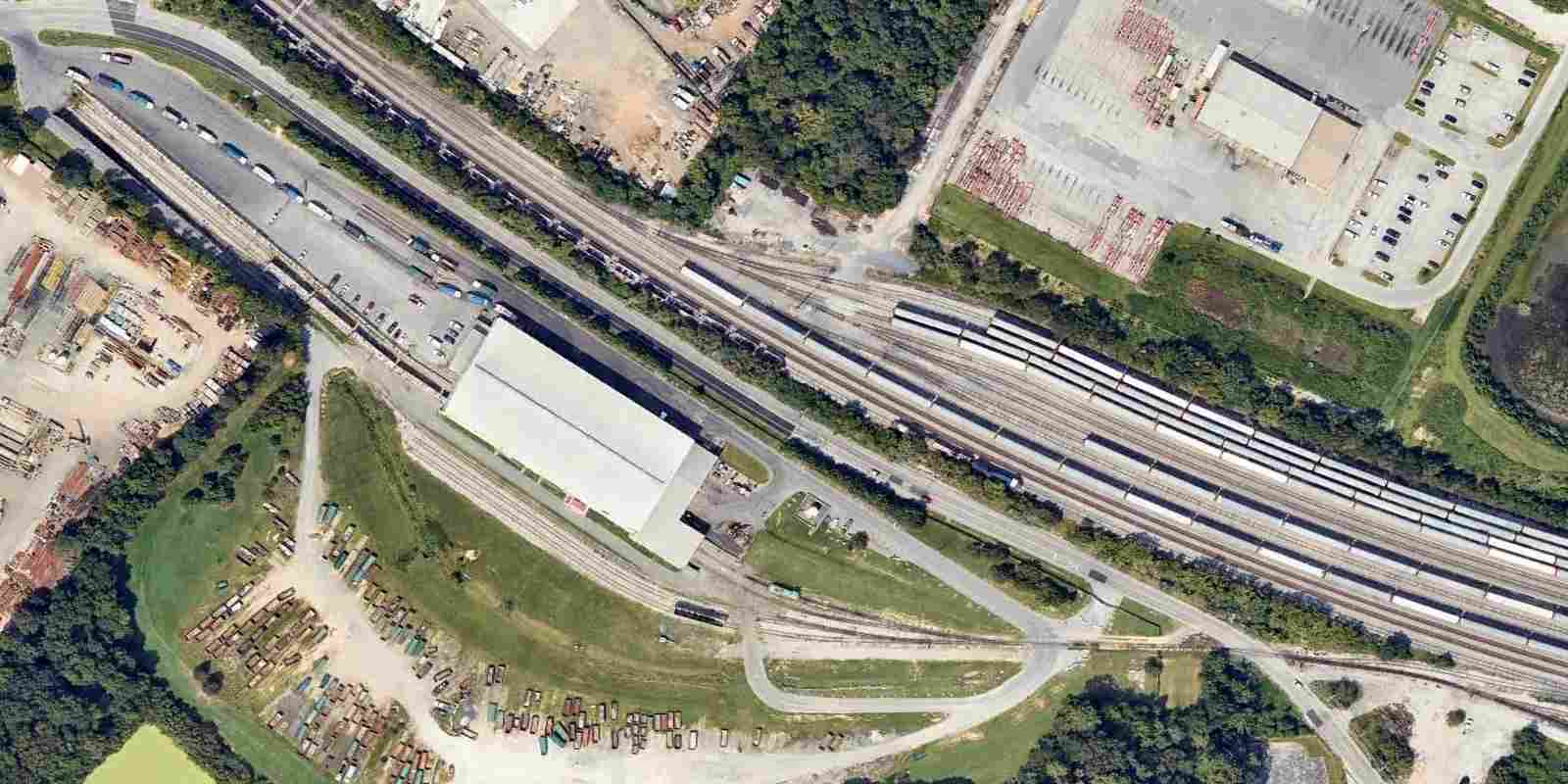
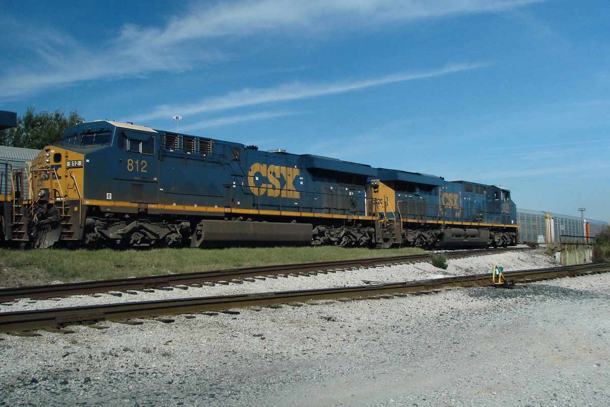
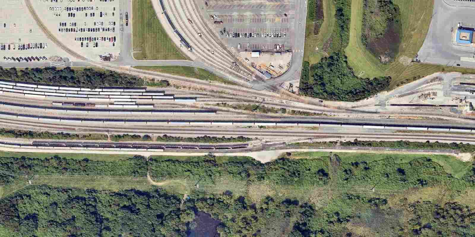
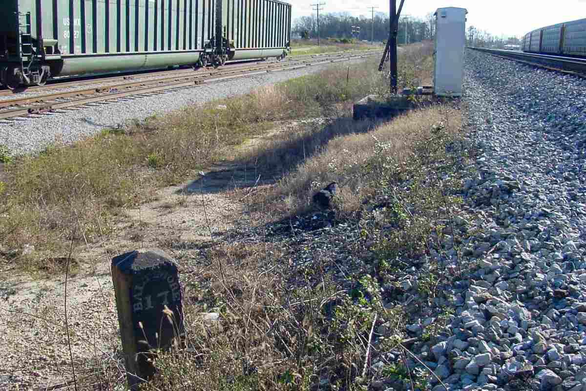
B&O's Washington Branch, now CSX's Capital Subdivision, serves as the boundary of Anne Arundel and Howard Counties between Jessup (right) and Annapolis Junction (left). Note that north (railroad east) is to the right in this and the aerial photos on this page.

Farms were joined in 1879 by the Bridewell House of Reformation. The Bridewell name was applied to many correctional institutions that modeled themselves after the first Bridewell in London, England, named for St. Bride's Church. A House of Reformation was itself a Apr 2026 product of the Protestant Reformation that viewed labor as the solution to vagrancy.

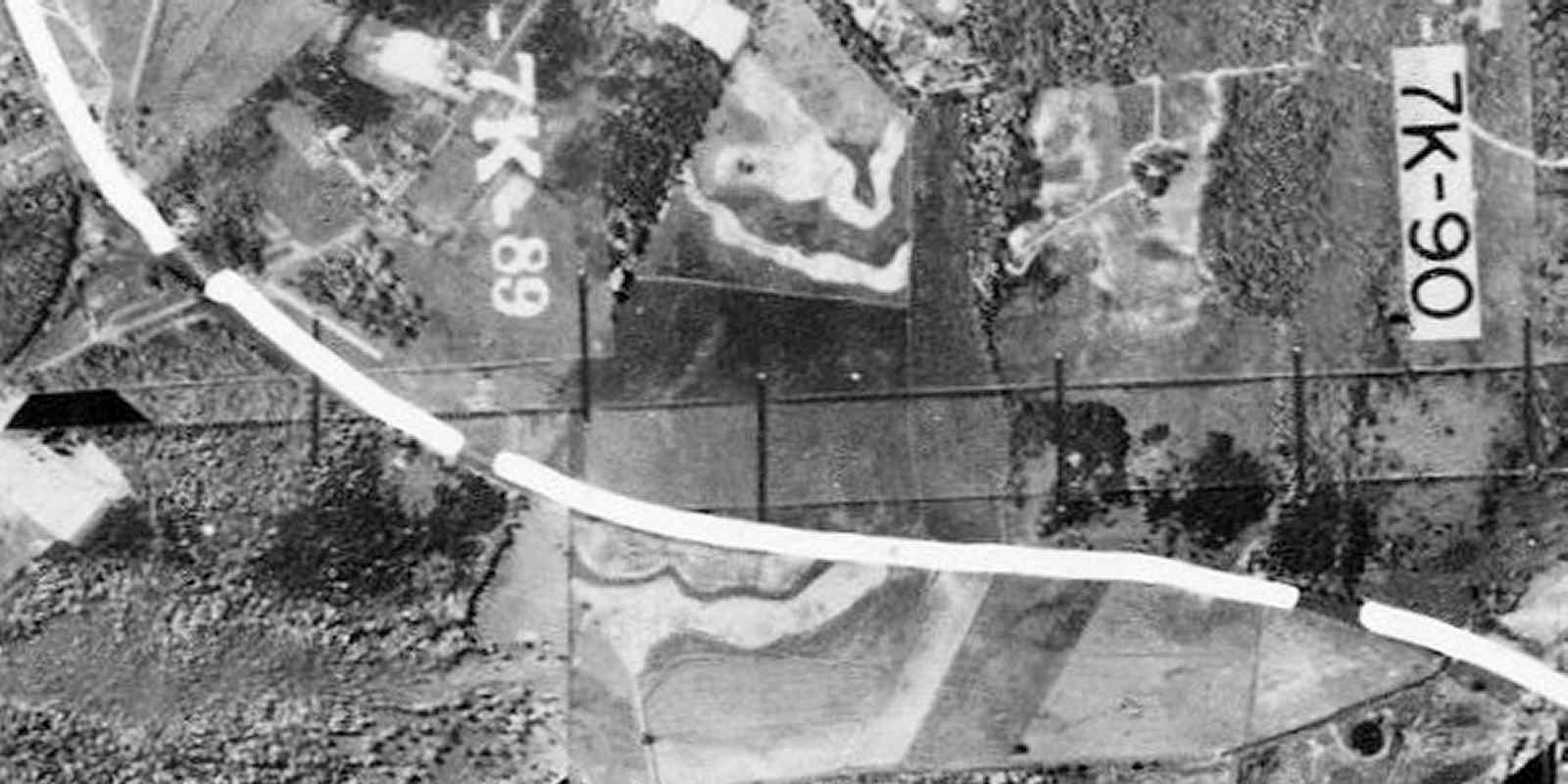
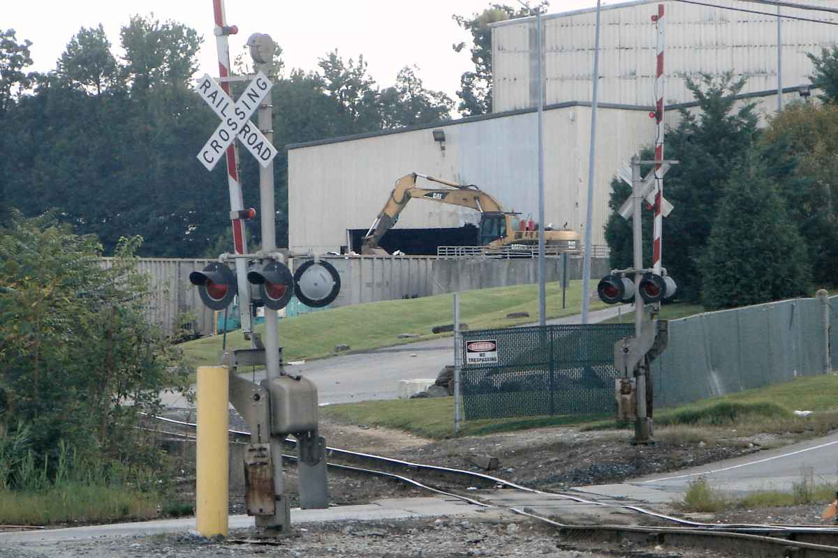
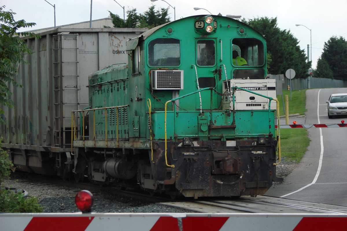
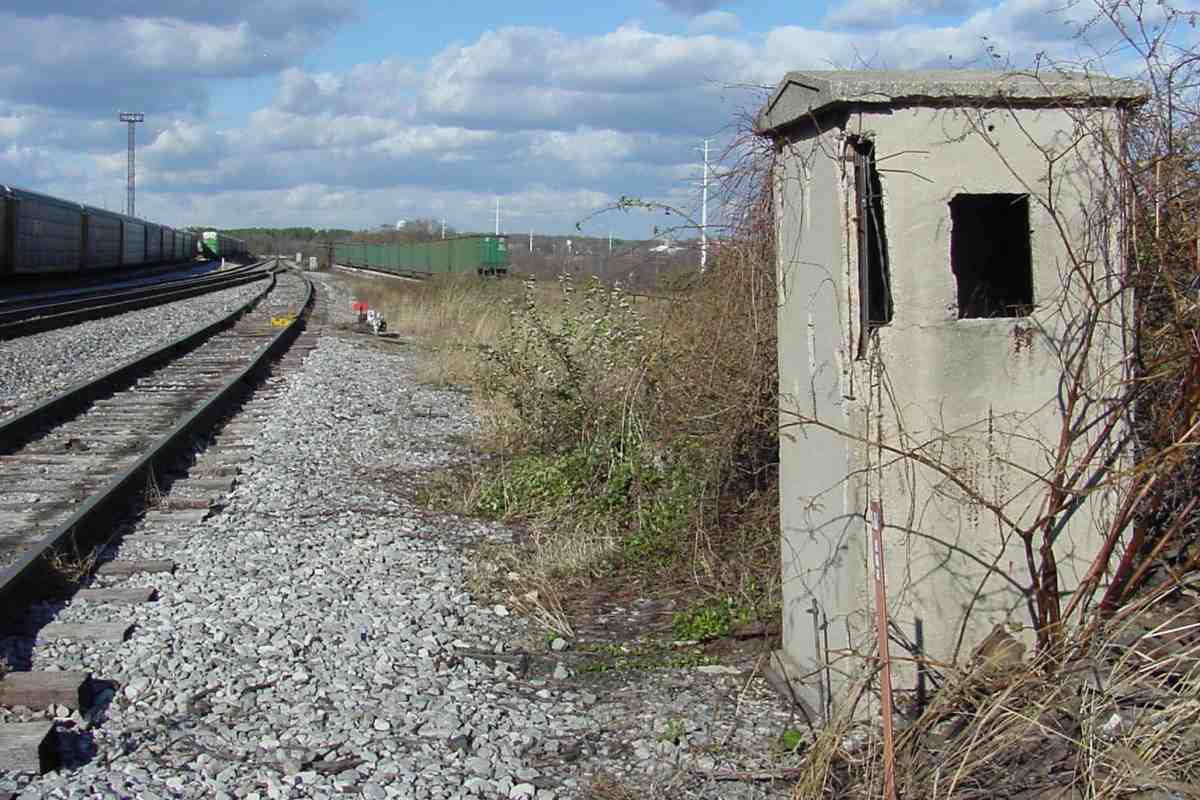
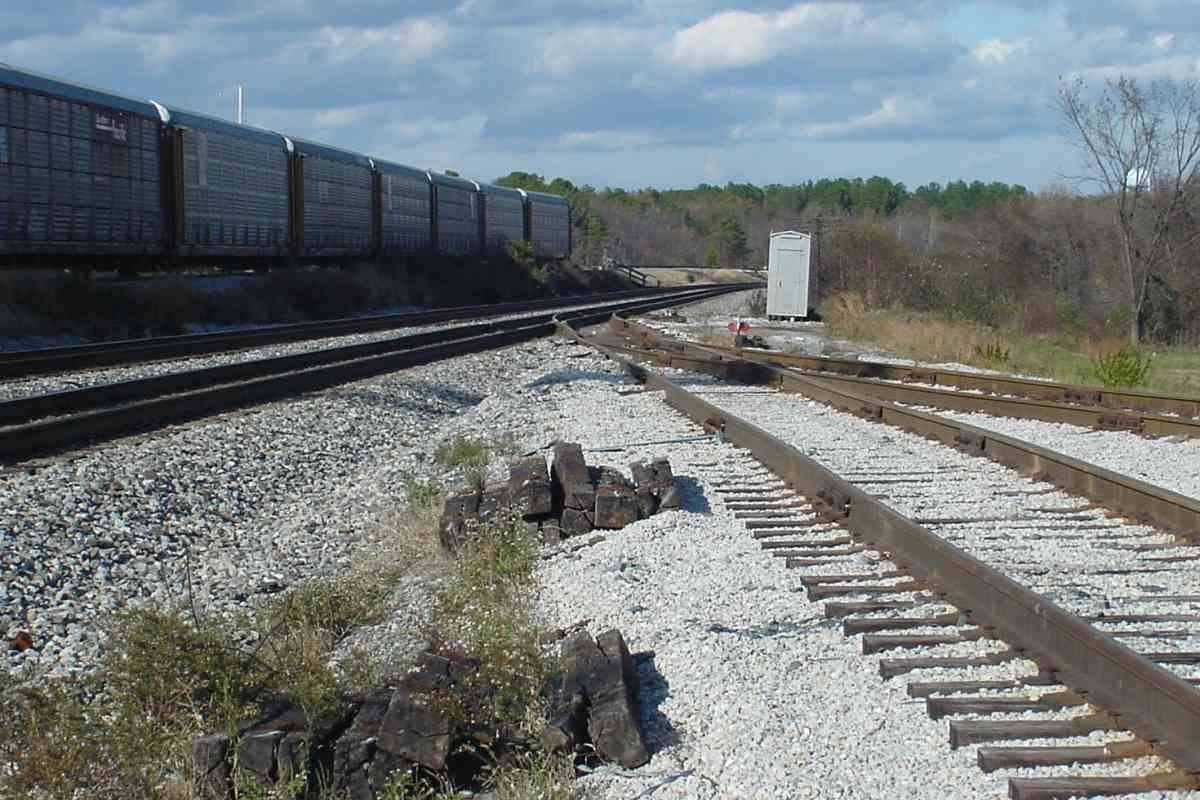
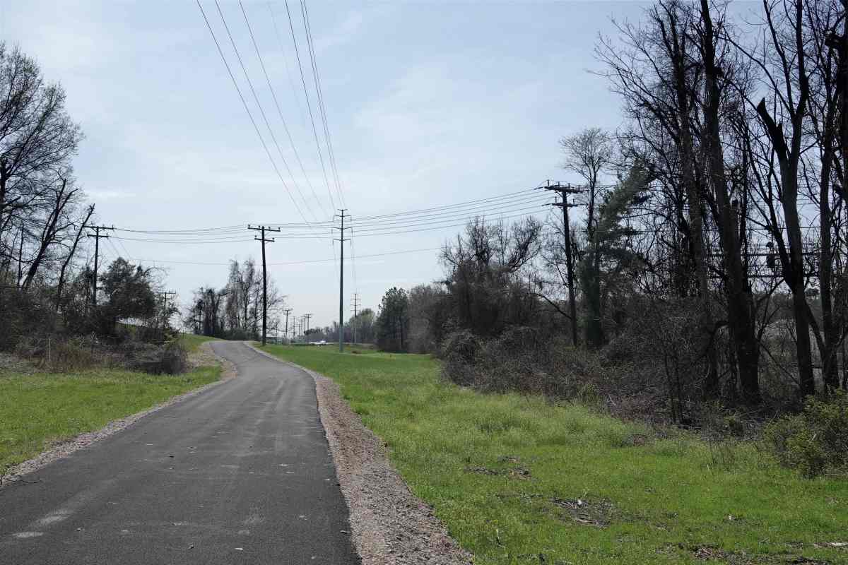
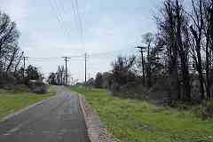
S-shaped track snaked uphill from the B&O main to supply coal to the facility. It is recalled by this utility pole line (photo at right) that runs from the CSX main (signals barely visible through trees on the right) up to the prison. The fresh blacktop is a utility access road. 
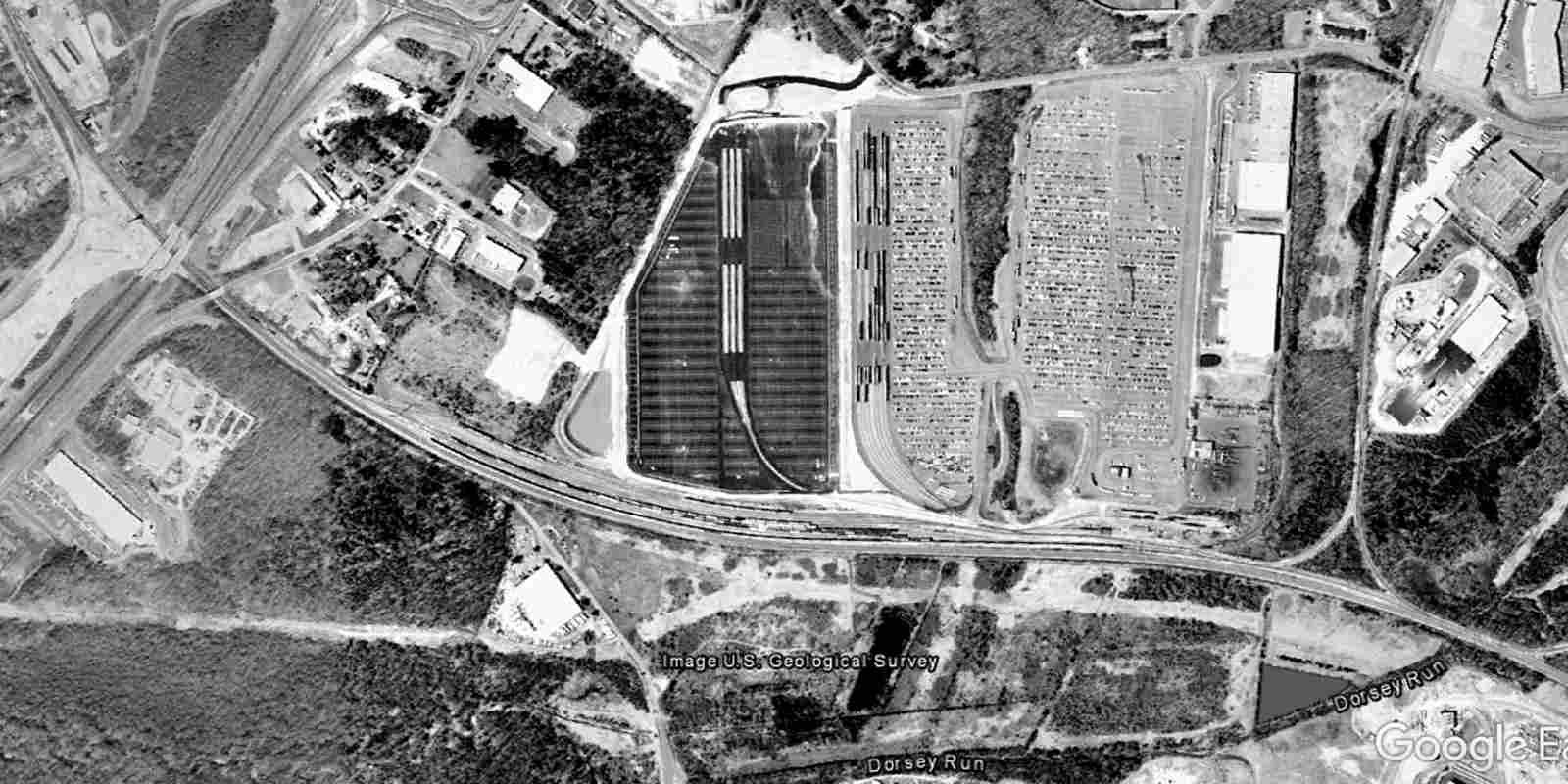
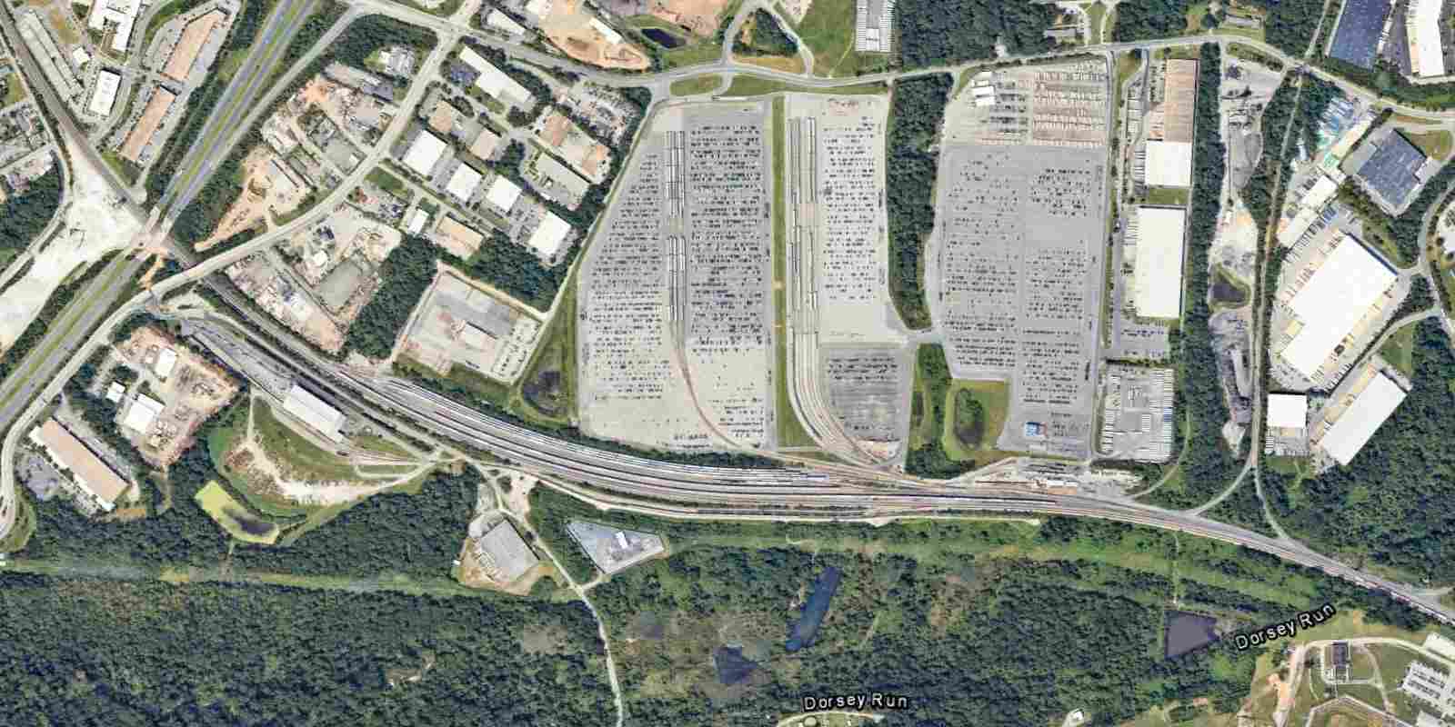
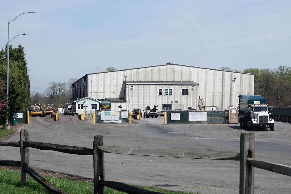
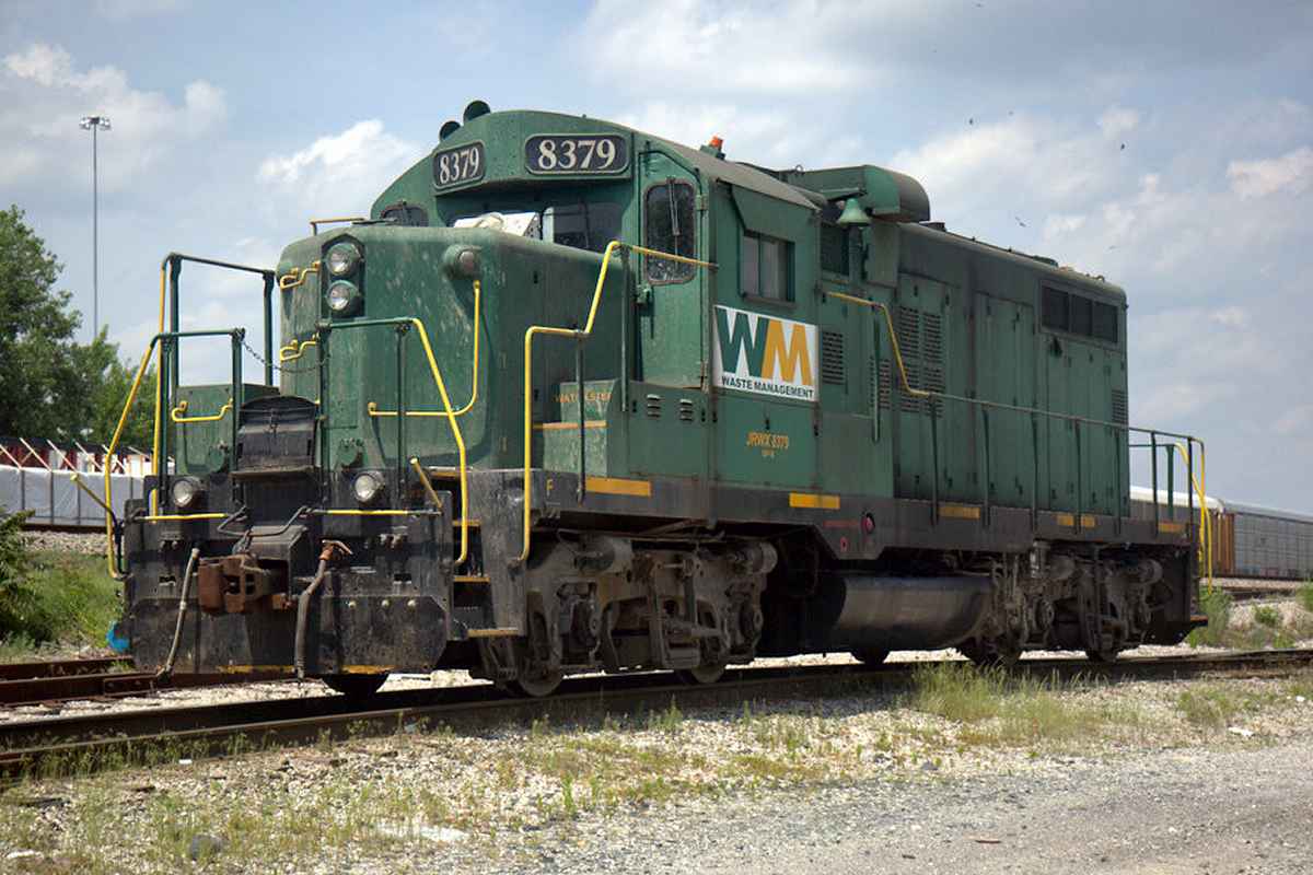
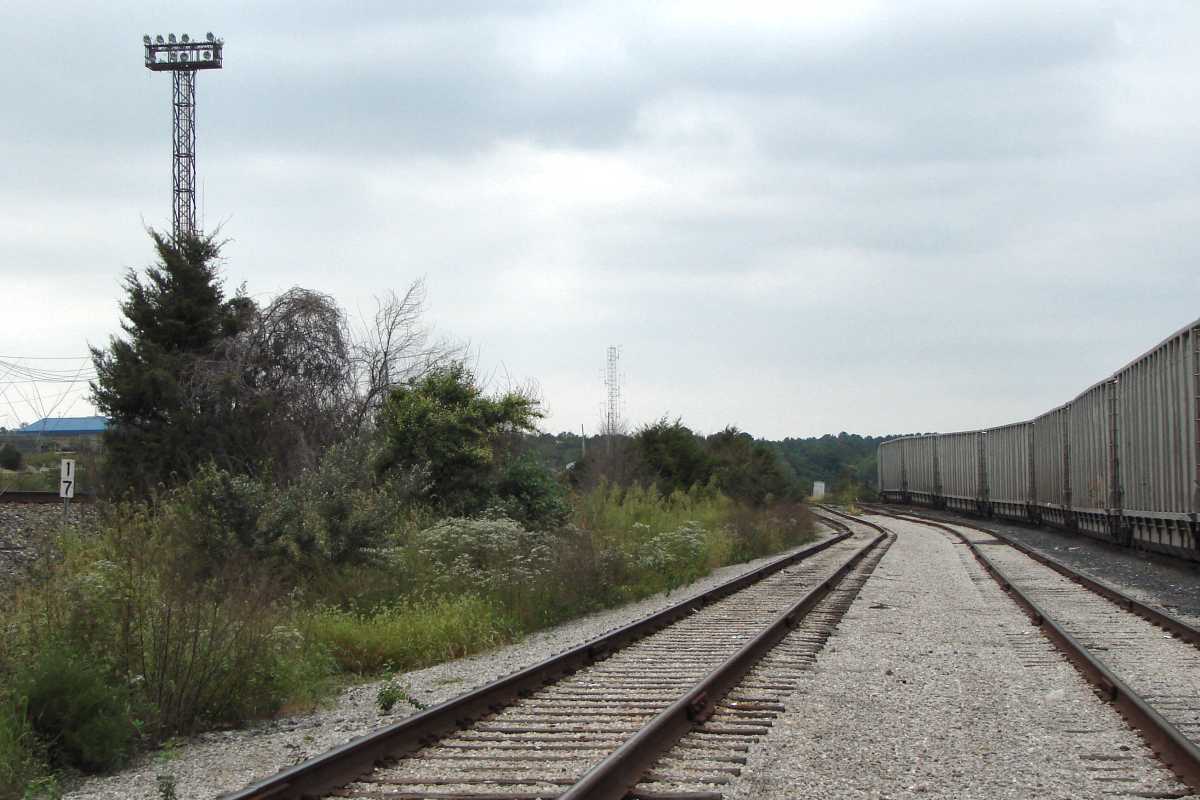
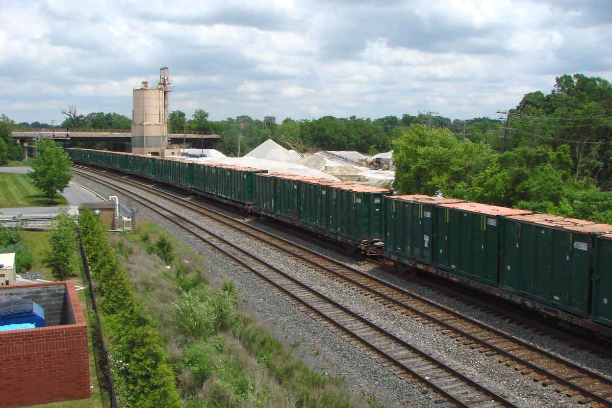
This tour will soon reach Waste Management's facility that lies about a mile south.


Aerial 1952
Photo courtesy Johns Hopkins University

Aerial 1952
Mile: 16.2 to 18.0 Date: Oct 1952
Ease: View: N (right)
Area: IC2:
Map: AA 5 F 7, Ho 20 H 7 Topographic Maps

This view zooms a bit toward the upper left of the 1907 map. The railroad (white line) defines the Howard-Anne Arundel boundary. Trackside development had not yet begun in earnest in 1952. B&O's wye with the former Annapolis and Elkridge Railroad is at upper left. The dark vertical lines are staples binding multiple photos.


Aerial 1993
Photo courtesy Google

Aerial 1993
Mile: 16.2 to 18.0 Date: Apr 1993
Ease: View: N (right)
Area: IC2:
Map: AA 5 F 7, Ho 20 H 7 Topographic Maps

This is the same view as prior, but 41 years later. B&O established an automobile terminal here during the 1960s. CSX's version has expanded to over 100 acres between the railroad and Dorsey Run Road. The track wye at right is that of the Columbia Branch, also a product of the 1960s.

Waste Management would soon join the fray within the darkest trees in the lower-left quadrant. It's the ideal location because 1) trash haulers can arrive via MD 32 (diagonal in upper left corner), 2) this is adjacent to the only freight railroad around and 3) there are no NIMBYs. A prison is at lower right and, fair or not, prisoners don't have much say about what gets put in their backyard.


Aerial 2023
Photo courtesy Google

Aerial 2023
Mile: 16.2 to 18.0 Date: Aug 2023
Ease: View: N (right)
Area: IC2:
Map: AA 5 F 7, Ho 20 H 7 Topographic Maps

A bit of Jessup Correctional Institution is at the lower right corner. This version operated from 1981 to 2026.


Zoom 2023
Photo courtesy Google

Zoom 2023
Mile: 17.2 to 17.6 Date: Aug 2023
Ease: View: N (right)
Area: IC2:
Map: AA 5 F 7, Ho 20 H 7 Topographic Maps

This view zooms into the south (left) side of the prior aerial. At the white-roofed building, trucks dump trash into gondolas waiting at a lower level. WM lugs sets of filled gondolas north (right) to sidings opposite the automobile terminal.

More than a dozen trash trucks wait their turn at upper left.


Trucks

Trucks
Mile: 17.5 Date: Jan 2023
Ease: A View: SE
Area: B+ IC2:
Map: AA 5 F 9 Topographic Maps

Here are a few of the waiting trucks.


WMAJRTF

WMAJRTF
Mile: 17.6 Date: Apr 2026
Ease: A View: NE
Area: B+ IC2:
Map: AA 5 F 9 Topographic Maps

According to signage, this is the Waste Management Annapolis Junction Recycling and Transfer Facility in Jessup. If WMAJRTF were an actual word, it would score well in Scrabble.

Trash goes in from the left and emerges in railroad gondolas or containers at the far end.


Final Check

Final Check
Mile: 17.3 Date: Sep 2017
Ease: A View: S
Area: B IC2:
Map: AA 5 F 8, Ho 20 H 8 Topographic Maps

Mar 2026 After full gondolas are pulled out of the building, workers check for and compact trash sticking up over the tops of those cars. WM maintains about a mile of track around this building.

Yes, there's some of that stinky trash smell in the air here, but not enough to stop anyone with siderodromomania.


Circuit Box

Circuit Box
Mile: 17.3 Date: Sep 2020
Ease: A View: SW
Area: B IC2:
Map: AA 5 F 8, Ho 20 H 8 Topographic Maps

Grade crossing circuitry is housed in this trackside box. The lamp confirms power is being applied to operate the gates.


Trackmobile

Trackmobile
Mile: 17.3 Date: Mar 2002
Ease: A View: S
Area: B IC2:
Map: AA 5 F 8, Ho 20 H 8 Topographic Maps

Waste Management also has (had?) a more diminutive machine for moving gondolas: a Trackmobile, seen here in action. This unit may normally operate elsewhere on the grounds, but it may also serve as a spare mover.


It's Green

It's Green
Mile: 17.3 Date: Dec 2024
Ease: A View: S
Area: B IC2:
Map: AA 5 F 8, Ho 20 H 8 Topographic Maps

Another in a series of green-painted locomotives hauls gondolas across Brock Bridge Road.


Brock Bridge Road

Brock Bridge Road
Mile: 17.3 Date: Mar 2003
Ease: A View: SW
Area: B IC2:
Map: AA 5 F 8, Ho 20 H 8 Topographic Maps

An earlier WM switcher, this an EMD SW8, crosses Brock Bridge Road. The road was likely named for the bridge across Little Patuxent River about two miles west of here. Richard Snowden, Jr. opened Maryland's first iron works there in 1736.

Link: North Tract history


Keep Cool

Keep Cool
Mile: 17.3 Date: Sep 2020
Ease: A View: S
Area: B IC2:
Map: AA 5 F 8, Ho 20 H 8 Topographic Maps

Not many locomotives have been retrofitted with a window air conditioner. The other exterior box is a Whisperwatt 7000 diesel-fueled AC generator that ostensibly powers the air conditioner.


Born 1951

Born 1951
Mile: 17.3 Date: Sep 2020
Ease: A View: S
Area: B IC2:
Map: AA 5 F 8, Ho 20 H 8 Topographic Maps

The unit was still going strong on its 69th birthday, a testament to the reliability of EMD switchers of its era. The digits 910937 appear over the cab's entrance door.


USWX 2

USWX 2
Mile: 17.3 Date: Sep 2020
Ease: A View: NW
Area: B IC2:
Map: AA 5 F 8, Ho 20 H 8 Topographic Maps

ITI represents a former owner, Intermodal Technologies, reporting mark ITIX. Despite its retained ITI 2 lettering, officially this unit was USWX 2.

Links: ~2004, ITIX pics, ITI corp


USWX 7522

USWX 7522
Mile: 17.4 Date: Mar 2001
Ease: A View: NE
Area: B IC2:
Map: AA 5 F 8, Ho 20 H 8 Topographic Maps

Waste Management does its own bit of recycling, breathing new life into old locomotives, at least green ones. This EMD GP9 model began life in 1956 as Pennsylvania Railroad 7079. Later, Conrail converted it to a model GP10. It was one of the first units WM put to use here.


Green Is Good

Green Is Good
Mile: 17.3 Date: Mar 2001
Ease: A View: N
Area: B IC2:
Map: AA 5 F 8, Ho 20 H 8 Topographic Maps

uswx 7522 Gordon Gekko is known for saying something like that.

USWX 7522 has just finished pushing out several gondolas of trash onto a siding to await CSX escort to Some Other Place. That's the prison in the background, right.

When done setting out gondolas, it rolls back to the transfer facility, as seen at left.

Link: 7522 video


Different Day

Different Day
Mile: 17.3 Date: Sep 2020
Ease: A View: N
Area: B IC2:
Map: AA 5 F 8, Ho 20 H 8 Topographic Maps

USWX 2 copies its predecessor. Trash cars of a given color, often green, silver or blue, tend to flock together on their way from a particular city to a particular landfill.


Three Tracks

Three Tracks
Mile: 17.2 Date: Sep 2020
Ease: A- View: N
Area: B IC2:
Map: AA 5 F 8, Ho 20 H 8 Topographic Maps

Each of the three storage tracks is about 2000 feet long. The tracks are shared by gondolas waiting for a refill and ones waiting to depart.


SSRX 715

SSRX 715
Mile: 17.3 Date: Mar 2026
Ease: A View: W
Area: B IC2:
Map: AA 5 F 8, Ho 20 H 8 Topographic Maps

Waste Management got this GP-38 machine, a green one of course, during 2024. SSRX stands for S&S Shortline Leasing LLC.


JRWX 8379
Photo credit Marlowe Barnes

JRWX 8379
Mile: 17.3 Date: May 2016
Ease: A- View: NW
Area: B IC2:
Map: AA 5 F 8, Ho 20 H 8 Topographic Maps

Another green engine showed up briefly at WM, perhaps on rental from Johnson Rail Services. Built in 1958, this model GP10 spent time with Illinois Central and Carolina Piedmont.

Link: JRWX 8379


CSX 812

CSX 812
Mile: 17.3 Date: Oct 2018
Ease: A View: NW
Area: B IC2:
Map: AA 5 F 8, Ho 20 H 8 Topographic Maps

Both ends of WM's sidings connect with CSX. This sloped connection is found at the southwest end. Even though CSX engines are not painted green, WM lets them enter periodically -- provided they do not stay long, of course.


Connection
Photo courtesy Google

Connection
Mile: 16.7 to 17.1 Date: Aug 2023
Ease: View: N (right)
Area: IC2:
Map: AA 5 F 7, Ho 20 H 7 Topographic Maps

The northeast ends of the sidings neck down to directly connect to CSX across from Jessup Yard's automobile terminal.


Permacrete

Permacrete
Mile: 17.1 Date: Nov 2003
Ease: B View: N
Area: B+ IC2:
Map: AA 5 F 7, Ho 20 H 7 Topographic Maps

Permacrete booths housed crew telephones before on-board radio became ubiquitous. Few of these remained extant into the 21st century, and this example succumbed soon after this photo.

Brush began to fill in the strip between CSX and WM.


Milepost 17

Milepost 17
Mile: 17.0 Date: Sep 2020
Ease: B View: N
Area: B+ IC2:
Map: AA 5 F 7, Ho 20 H 7 Topographic Maps

Some of the brush has grown into trees.


Milestone 17

Milestone 17
Mile: 17.0 Date: Nov 2003
Ease: B View: S
Area: B+ IC2:
Map: AA 5 F 7, Ho 20 H 7 Topographic Maps

Milestone 17 (counting from Baltimore) was still in place in 2003. Metal signs now substitute for it.


Northeast End

Northeast End
Mile: 16.9 Date: Nov 2003
Ease: B View: N
Area: B+ IC2:
Map: AA 5 F 7, Ho 20 H 7 Topographic Maps

CSX (left) and WM (right) meet at the northeast end of the siding.


The Birds

The Birds
Mile: 16.8 Date: Dec 2024
Ease: A- View: SE
Area: B IC2:
Map: Ho 20 H 7 Topographic Maps

Crows sometimes gather to pick over the trash scraps. Crows are smart so, of course, they, too, like trains. CSX 8245 has seen the Hitchcock movie, so it wisely keeps a safe distance from this many avian railfans.


DSWU

DSWU
Mile: 17.9 Date: Jun 2020
Ease: A- View: E
Area: B IC2:
Map: Ho 20 G 9, AA 5 E 9 Topographic Maps

These green DSWU containers are also labeled WMNY. They spend their life getting tagged in New York then heading to points south. Before that, New York City landfilled at Fresh Kills on Staten Island, in the process making it one of the highest-elevation points along the US East Coast.


RSGU

RSGU
Mile: 17.9 Date: Jul 2020
Ease: A- View: SW
Area: B IC2:
Map: Ho 20 G 9, AA 5 E 9 Topographic Maps

These 20-foot blue containers are made by Wastequip Accurate. RS stands for Republic Services who compacts the trash. Some go to landfills near Waverly, VA and others Bishopville, SC.


New Containers

New Containers
Mile: 17.9 Date: Jun 2026
Ease: A- View: SW
Area: B IC2:
Map: Ho 20 G 9, AA 5 E 9 Topographic Maps

No reporting marks have yet been applied to these clean containers, which suggests they are on their maiden voyage from the factory.


Thanks for looking.

Consider continuing west from WM.

Or, return to main page


Copyright Notice