TrainWeb.org Facebook Page
B&O Washington Branch Photo Tour


B&O Washington Branch
Modern day photo tour

Accompanying each photo below are:

Click a photo to see a larger view. Please send your comments and corrections to Steve.


<< Previous (Waterloo Branch) | THIS PAGE: Columbia Branch | Next (west) >>

Brief Historical Background: Columbia Branch

Proximity
NEW! mid-Jan 2022

Proximity
Mile: 16.3, spur -0.1 Date: Sep 2002
Ease: B View: S
Area: A IC2:
Map: Ho 20 J 6 Topographic Maps

The Waterloo Branch switch (lower left) and that for the Columbia Branch (ahead) are only about 500 feet apart. Dorsey Run flows between the two, marked by a slab of bridge concrete at right.

Summer haze partially obscures Jessup Yard's office in the distance. As the yard became busier during the 2000s, this single yard lead track, one shared with the two branches, became a bottleneck.


Redesign
NEW! mid-Jan 2022

Redesign
Mile: 16.2, spur -0.2 Date: Dec 2021
Ease: B View: S
Area: A IC2:
Map: Ho 20 J 6 Topographic Maps

During 2021 CSX added a second track into Jessup Yard. To make room for it, the bridge across Dorsey Run was extended a bit west (to the right) to the location of the fence and two concrete blocks.

CSX 7259 is rolling across the Waterloo Branch switch, while the Columbia Branch switch sits near the dwarf signal numbered 3. Numbered dwarfs control trains accessing the yard.


Derail

Derail
Mile: 16.4, spur 0.0 Date: Apr 2001
Ease: B View: SW
Area: B IC2:
Map: Ho 20 J 6 Topographic Maps

The Columbia Branch splits off here and bends to the right (west) in this photo.

No, that's not a connection to a future monorail system, it's called a derail. Jerry Jordak describes it as follows:

    What you see is called a derail. Its purpose is to prevent a car from rolling out of a spur and onto the main line. A derail is put on the spur track far enough away from the main so that if a car were to roll over it and derail, it wouldn't foul the main track. The derail in your photo is closed, so a car can roll over it. When the derail is opened, the inside rail by the switch stand moves inward, so if a car were to roll over it, the wheels on the right would roll down the short piece of rail, the wheels on the left would roll onto the ties, and the car would derail and stop.

During the track redesign of 2021 CSX installed a different style of derail.


Wye

Wye
Mile: 16.4, spur 0.1 Date: Apr 2018
Ease: A- View: W
Area: B IC2:
Map: Ho 20 H 6 Topographic Maps

Most of the spur's limited use happens via the north leg of the wye rather than the overgrown south leg on the left. The most common rail forging date here is 1969. Around 2015 CSX removed a stem that had curled off to the left and crossed Sandy Court.


Bridge 6

Bridge 6
Mile: 16.4, spur 0.6 Date: Apr 2001
Ease: A View: S
Area: B IC2:
Map: Ho 20 G 6 Topographic Maps

The first bridge on the branch is this one over Dorsey Run Road. Like the entire branch, it dates to the late-1960s. Its masonry has room to support double track. The bridges on this modern branch appear to be numbered in tenths of miles. The digit "6" is is clearly painted on the side of this one, located 0.6 miles from the main line. (Numbering info courtesy former CSX employee Craig Hinners.)


Dover Harbor
Updated mid-Jan 2022

Dover Harbor
Mile: 16.4, spur 1.2 Date: Sep 2000
Ease: B View: NW
Area: B IC2:
Map: Ho 20 F 5 Topographic Maps

Dover Park Sep 2001 Tucked away on a now-fenced siding of the branch sits the Dover Habor, the "only heavy weight Pullman revenue passenger car still operating in unrestricted train service on the main lines of America" (a quote from the owner's web site).

This 1923-built car (and its sisters) are owned and operated by the Washington, D.C. Chapter of the National Railway Historical Society. The car can be chartered for special events and trips to any location served by Amtrak. Sounds like fun!

Link: Dover Harbor Web site


US Route 1

US Route 1
Mile: 16.4, spur 1.3 Date: Sep 2001
Ease: B+ View: NW
Area: B IC2:
Map: Ho 20 E 5 Topographic Maps

US Route 1 is carried across via this utilitarian 1969-constructed bridge. The rusty rails are evidence that few trains have passed this way recently.


Mud

Mud
Mile: 16.4, spur 1.6 Date: Apr 2018
Ease: B View: NE
Area: B IC2:
Map: Ho 20 E 4 Topographic Maps

big Cats Between US 1 and Mission Road (left in this view) during 2018 Howard County began construction of a new school complex. A truck departing the adjacent quarry is being checked for road weight-limit compliance prior to exiting that facility. The pink color pole is a survey marker.

Equipment crossing the branch has buried it in mud of a damp spring.


Mission Road

Mission Road
Mile: 16.4, spur 2.2 Date: Jun 1999
Ease: A View: NE
Area: A IC2:
Map: Ho 20 E 3 Topographic Maps

This bridge was built in 1969 by the Indiana Bridge Company to carry the branch over Mission Road. Hand written on the side is "Bridge 22" which represents its 2.2 mile distance into the branch. Note the safety platform at the center even though the bridge is not very long.


Mission Road

Mission Road
Mile: 16.4, spur 2.2 Date: Sep 2001
Ease: B View: NW
Area: A IC2:
Map: Ho 20 E 3 Topographic Maps

Here's a view from the top. Optimistic provisions were made for double track. To my knowledge, this route has always been single tracked.

Reader Jake M. wrote:

    "Yes at one point the spur was double tracked. it switched just north of where it went under I-95 and went across mission road and was double tracked for who knows how long according to a map i have of columbia from 1989. Also, there was bridge that carried a spur that served the former GE building on snowden river parkway behind the United Artists theater but i recently discoverd its no longer there and found a trail of ballast leading to the warehouse."


Storage
Photo courtesy Evan Yakas

Storage
Mile: 16.4, spur 2.2 Date: May 2009
Ease: A View: W
Area: A IC2:
Map: Ho 20 E 3 Topographic Maps

To the surprise of many, including contributor Evan Yakas, this moribund portion of the Columbia Branch sprang back to life, sort of, in May 2009 to host a train of cars in need of repair, such as coil car CSXT 495056. Coil cars are often used to transport coils of metals such as steel.


NYC 492266
NEW! mid-Jan 2022

NYC 492266
Mile: 16.4, spur 2.2 Date: Aug 2010
Ease: B View: S
Area: A IC2:
Map: Ho 20 E 3 Topographic Maps

The line was still being used for storage during 2010, but the consist was split so that it was not visible from Mission Road. Via Conrail, CSX inherited many open hoppers like this from New York Central. CSX was painted on the side of the hopper, but the NYC reporting mark was retained. This, and the consist behind the photographer, might be the last rolling stock to have ventured two-plus miles into the branch.


I-95

I-95
Mile: 16.4, spur 2.5 Date: Sep 2001
Ease: B View: NW
Area: A IC2:
Map: Ho 20 E 2 Topographic Maps

For a change, I-95 does not tower high above like it does most other places it crosses B&O/CSX tracks. This bridge dates to 1967 and was reconstructed during 2001. For the record, the number 25 is displayed on one of the support posts. Like the branch, I-95 in this vicinity was built circa 1970.


Shifting

Shifting
Mile: 16.4, spur 2.6 Date: Aug 2005
Ease: B View: SE
Area: A IC2:
Map: Ho 20 D 2 Topographic Maps

Weather and a lack of maintenance have contrived to realign the tracks as they see fit.


Kinkier
NEW! mid-Jan 2022

Kinkier
Mile: 16.4, spur 2.6 Date: Jul 2021
Ease: B View: SE
Area: A IC2:
Map: Ho 20 D 2 Topographic Maps

The track kinks more with time as entropy increases. In a general sense, the higher the entropy of a system, the greater its disorder. More specifically in physics, entropy is a measure of the degree of the spreading and sharing of thermal energy within a system.


Drain

Drain
Mile: 16.4, spur 2.9 Date: Aug 2005
Ease: B View: SW
Area: A IC2:
Map: Ho 20 D 1 Topographic Maps

"It's a culvert." ... "It's a drain." ... "Wait, you're both right."

Actually, I'm not sure what this is other than unusual. My guess: a drainage system designed to transport water from the higher land on one side of the tracks to the lower land on the other side so that the water does not accumulate adjacent to the tracks.


To Gateway

To Gateway
Mile: 16.4, spur 3.1 Date: Aug 2005
Ease: B+ View: NW
Area: A IC2:
Map: Ho 20 C 1 Topographic Maps

The branch sprouted many stems along the way. This severed one originally led to a General Electric industrial plant in the area that is now the Snowden Square Shopping Center and the Gateway Commerce Center.


Overgrown
NEW! mid-Jan 2022

Overgrown
Mile: 16.4, spur 3.1 Date: Jul 2021
Ease: B+ View: NW
Area: A IC2:
Map: Ho 20 C 1 Topographic Maps

switch tag A revisit to the switch 16 years later found this. Before much longer you'll need a machete to trace the overgrown portion.

Rail forging dates and tags like this one agree on 1969 as the branch's assembly era.


At Gateway
Photo courtesy Evan Yakas

At Gateway
Mile: 16.4, spur 3.8 Date: Aug 2005
Ease: A View: N
Area: A IC2:
Map: Ho 16 D 2 Topographic Maps

Reader Evan Yakas found the other end of this stem, and wrote:

    "Hey Steve, a while ago I told you about some leftover tracks on Robert Fulton Drive near the movie theater. I had some free time today so I went to go take some pictures of them. When you pull into the driveway from the main road, these 4 tracks are on your right. They are cut off right at that fence. It's funny though, how they never got rid of these small sections."
In 2008 Even sent an update:
    "Those tracks I sent you pictures of a few years back are gone. The driveway has been repaved and it looks like they removed those tracks and planted trees."


Oakland Mills Road

Oakland Mills Road
Mile: 16.4, spur 3.8 Date: Aug 2001
Ease: A View: W
Area: A IC2:
Map: Ho 16 B 13 Topographic Maps

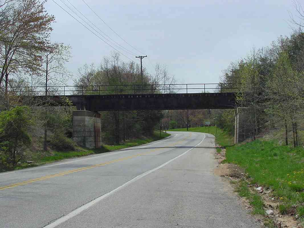
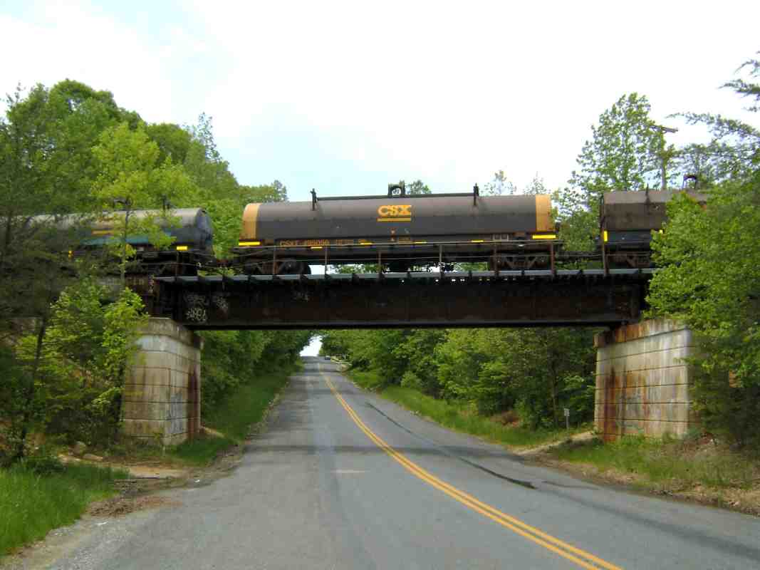
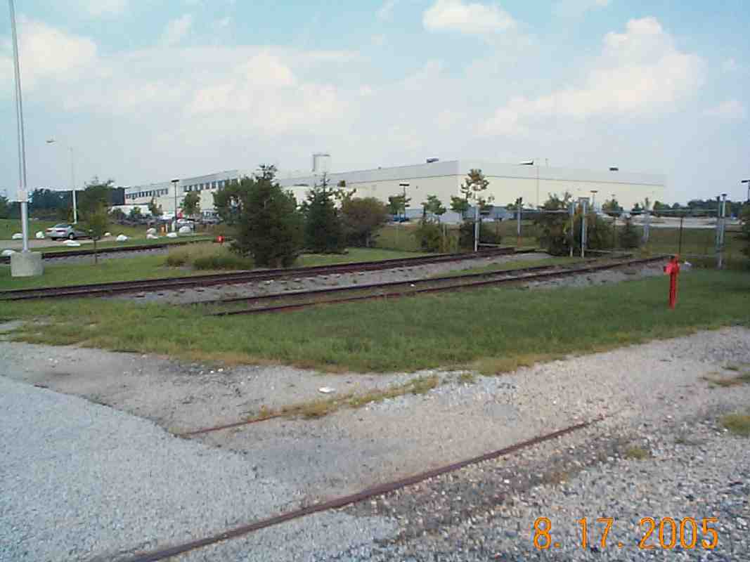
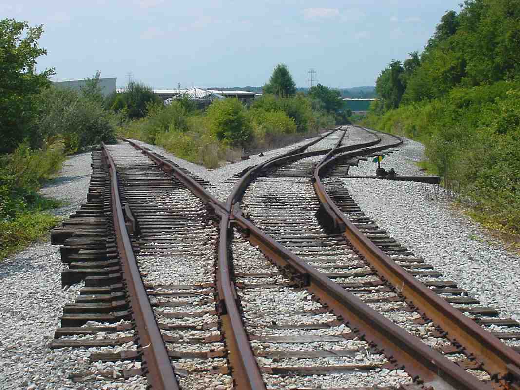
Here another stem of the branch crosses Oakland Mills Road, one of the few surviving area roads that predates the town of Columbia.

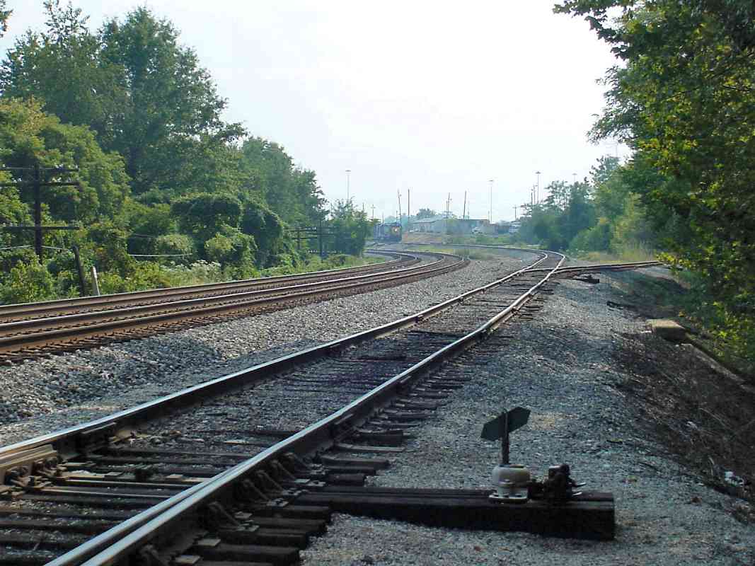
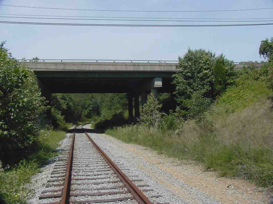
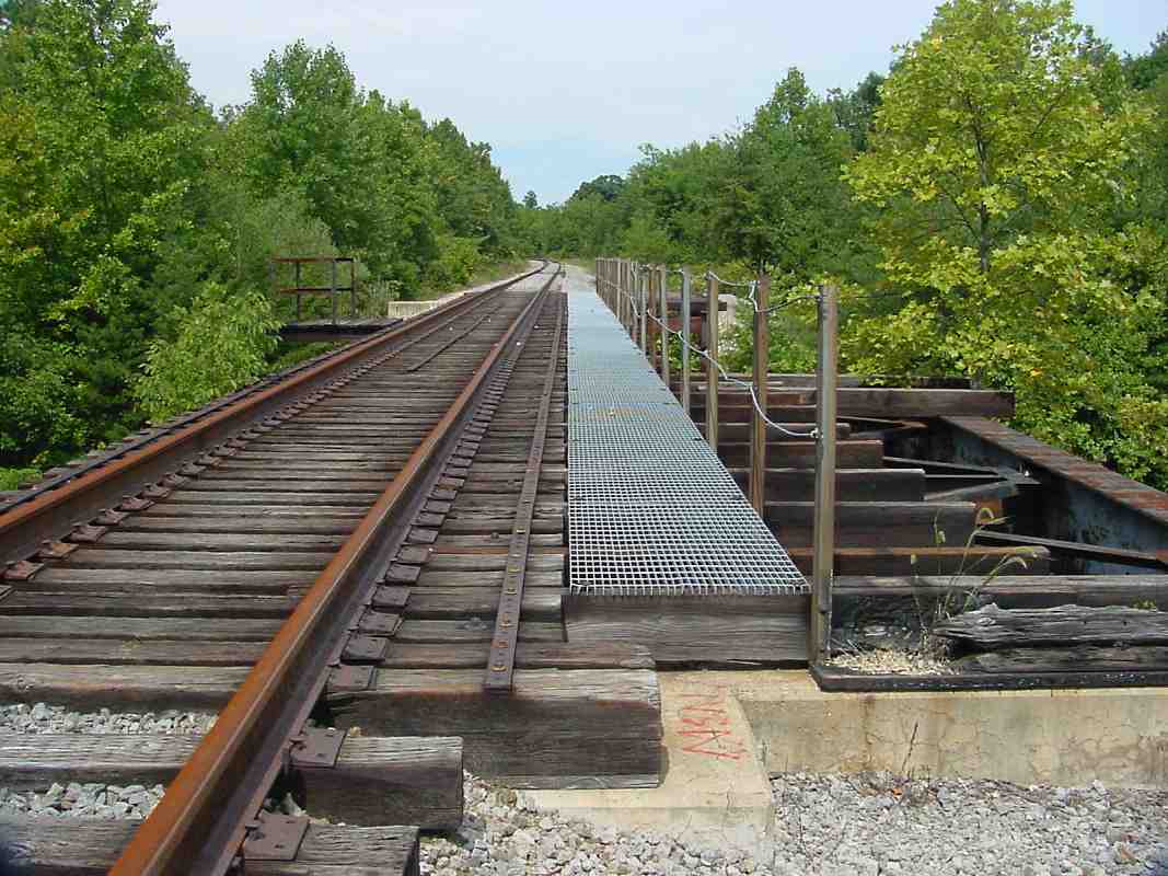
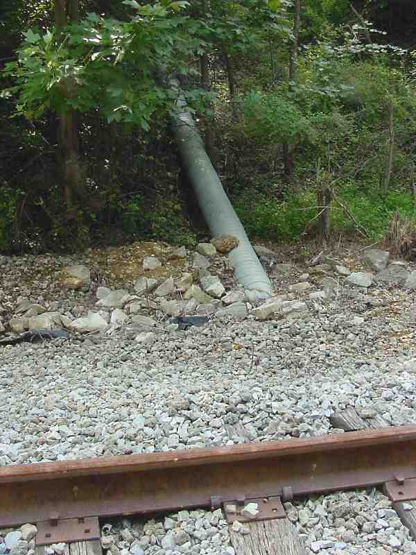
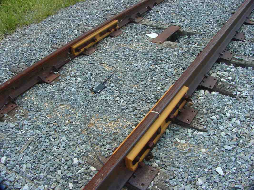
The tracks at the bottom right were for a siding that served warehouses. There must be a kennel here as well because my visit caused quite a noisy ruckus among the group of 10 dogs caged nearby.

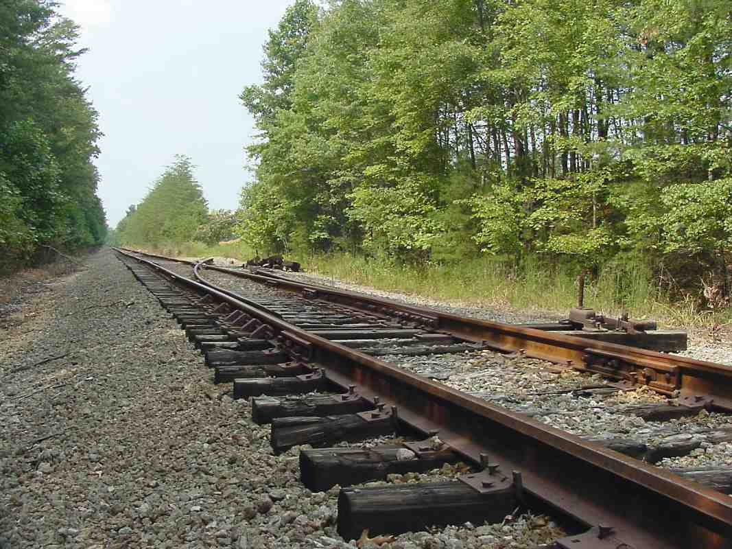
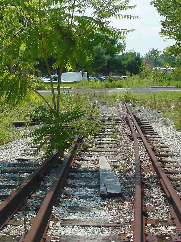
In 2001, one reader wrote to say he still saw trains visit this location but very infrequently, and not past Oakland Mills Road. Google Earth maps from that time do show freight cars parked in this area.

Link to older picture: 2003


Insulator

Insulator
Mile: 16.4, spur 3.9 Date: Aug 2001
Ease: A View: SW
Area: A IC2:
Map: Ho 16 B 13 Topographic Maps

The yellow blocks are special insulators that electrically isolate the remainder (abandoned section) of the branch. Bill Erlenbach writes:

    "Yes they are insulated joints. They are used all over signalized territory and around grade crossings for isolating signalling blocks. I have also seen them used to provide isolation from spurs that handle combustable fuels - the ground protection required interferes with the signal systems and some times for electrical protection.
    "The devices between the rails (in the middle in the foreground and under the steel plate between the tracks) could be one of a few things - its been a few years since I worked for BC Rail's C&S department. In the old type 'C' crossings these would be diodes while more contemporary crossings often use HXP predictors and the like which use tones and filters. Depending on the the signalling system used for train control, the devices between the rails could be a number of things used for block detection or grade crossings. Usually the devices are protected by steel plates like the one you see in the background. Note also the wires attached to the soft metal pins driven into holes drilled in the rail, these are usually stapled to the ties ore other wise protected. One would hope that the one in the foreground was a temporary fix or the signals maintainer is coming back."


Pipe Bridge

Pipe Bridge
Mile: 16.4, spur 4.4 Date: Aug 2001
Ease: C+ View: NW
Area: A IC2:
Map: Ho 20 A 1 Topographic Maps

There are no attractive arched stone bridges to be found on this branch. By the 1960s, the railroad settled for quickly and cheaply constructed "bridges" that were little more than a pipe overlaid with fill. The tracks can be glimpsed in the bright spot high up on the left.


Sidings

Sidings
Mile: 16.4, spur 4.5 Date: Aug 2001
Ease: B+ View: SW
Area: A IC2:
Map: Ho 20 A 1 Topographic Maps

This is just one of many sub-spurs and sidings hiding in the brush. We'll follow the one on the left.


Gerwig Lane

Gerwig Lane
Mile: 16.4, spur 4.8 Date: Aug 2001
Ease: A View: SW
Area: A IC2:
Map: Ho 20 A 1 Topographic Maps

Something tells me there haven't been any trains crossing Gerwig Lane for some time. Just a guess.


South Shore RR
Photo courtesy Evan Yakas

South Shore RR
Mile: 16.4, spur 4.9 Date: May 2009
Ease: A View: NW
Area: A IC2:
Map: Ho 20 A 1 Topographic Maps

Anything here make you think a railfan could be nearby? The South Shore is a line that connects Chicago, Illinois with South Bend, Indiana. In the past it was part of the Chicago, South Shore & South Bend Railroad, and now it continues operation as part of the Northern Indiana Commuter Transportation District (NICTD).

Link: Dave's Rail Pix of South Shore


End of the Branch

End of the Branch
Mile: 16.4, spur 5.0 Date: Aug 2001
Ease: B+ View: NW
Area: B+ IC2:
Map: Ho 19 K 1 Topographic Maps

One of the Columbia Branch's stems finally peters out behind this Gerwig Lane warehouse. A warehouse door that provided access to boxcars is now closed by cinder blocks, but its tattered weather awning still swings in the breeze. At photo time, air conditioners had recently been fenced in over the ties, but were later removed.

The tracks end at the corner of the warehouse in the distance. This location is on top of the hill where granite was mined until the 1920s. It's also the where the Patuxent Branch built in the 1800s ended. That branch is the subject of a page found later in this tour.


<< Previous (Waterloo Branch) | THIS PAGE: Columbia Branch | Next (west) >>

Or, return to main page

Copyright Notice