


 Below is a list of photos at mileposts along the former Pennsylvania RR lines now
part of Amtrak's Northeast Corridor (NEC) within Maryland. The mileposts mark the
track distance from ZOO Junction in Philadelphia, Pennsylvania. Many of these photos
do not appear in the PRR tour because they show nothing
of particular historical note.
Below is a list of photos at mileposts along the former Pennsylvania RR lines now
part of Amtrak's Northeast Corridor (NEC) within Maryland. The mileposts mark the
track distance from ZOO Junction in Philadelphia, Pennsylvania. Many of these photos
do not appear in the PRR tour because they show nothing
of particular historical note.
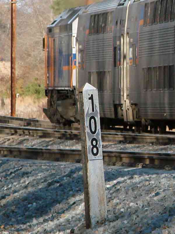
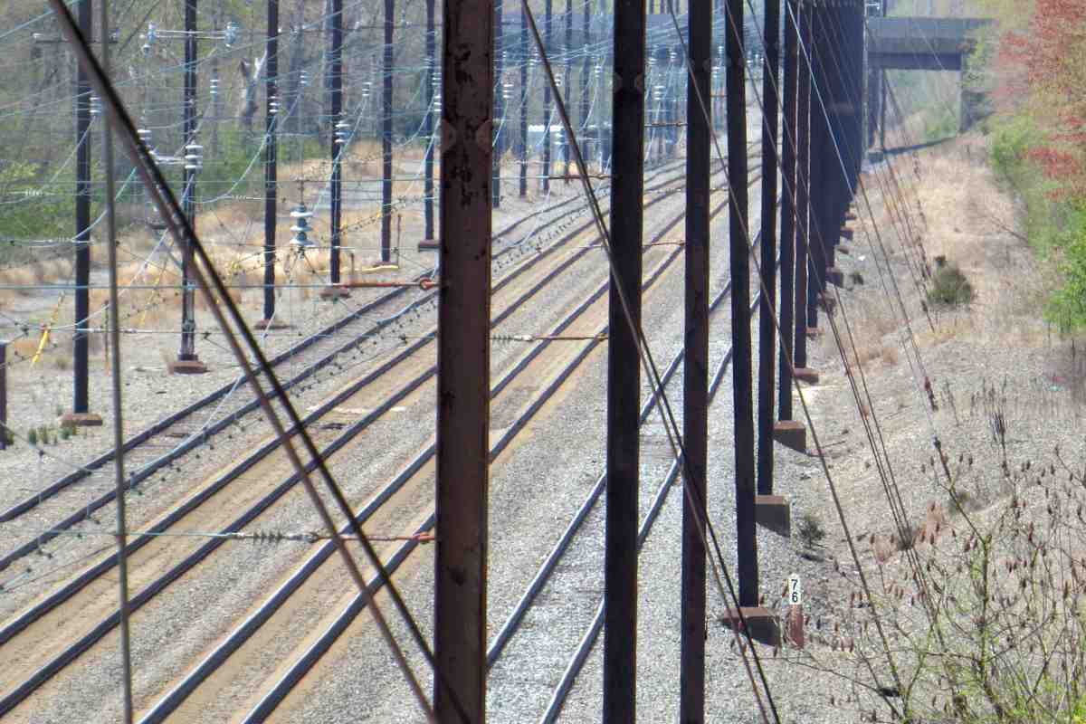
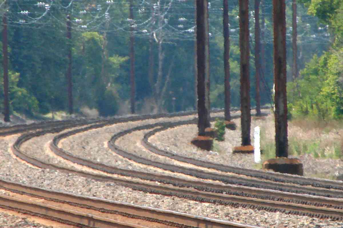
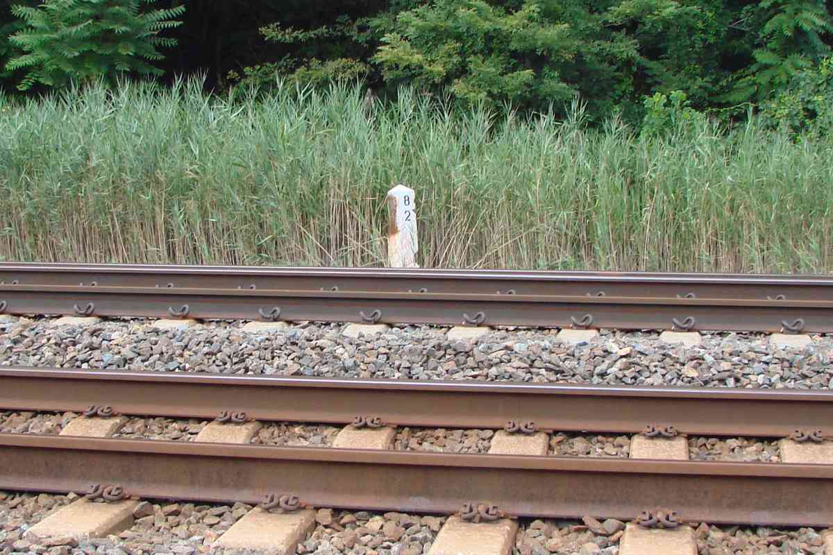
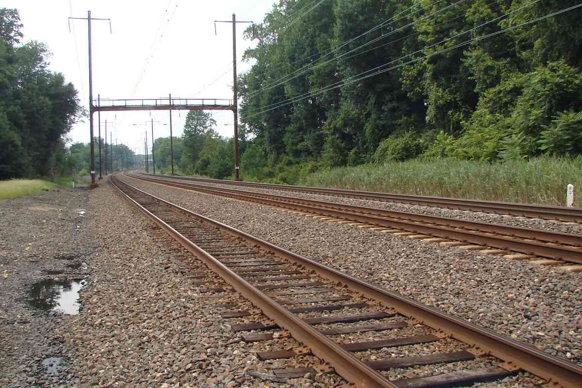
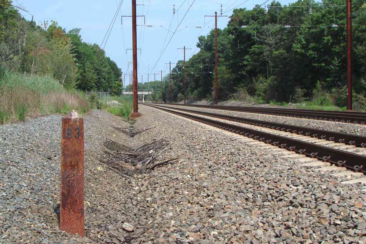
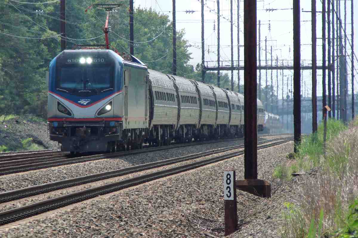
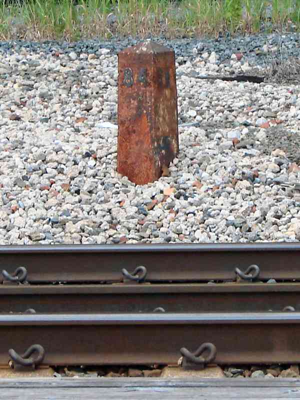
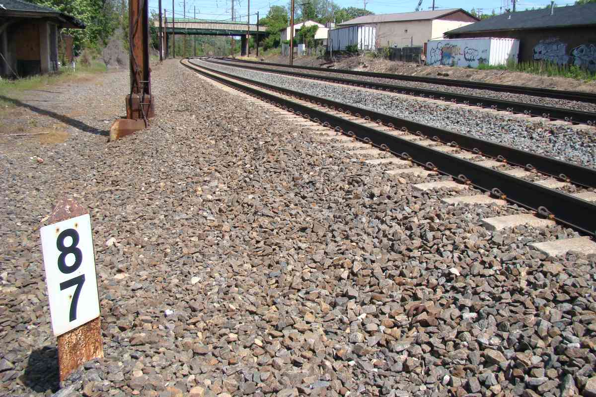
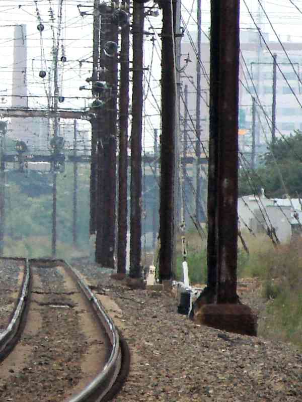
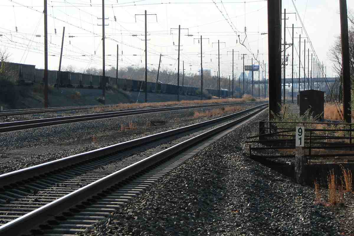
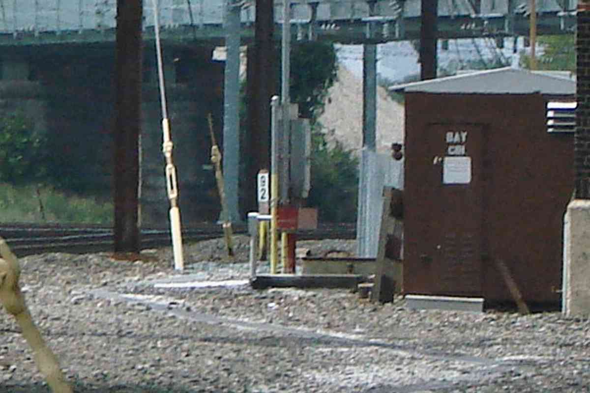
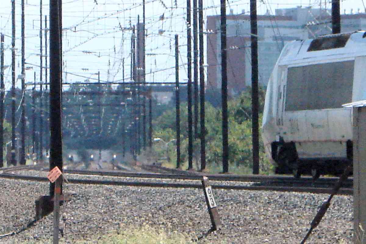
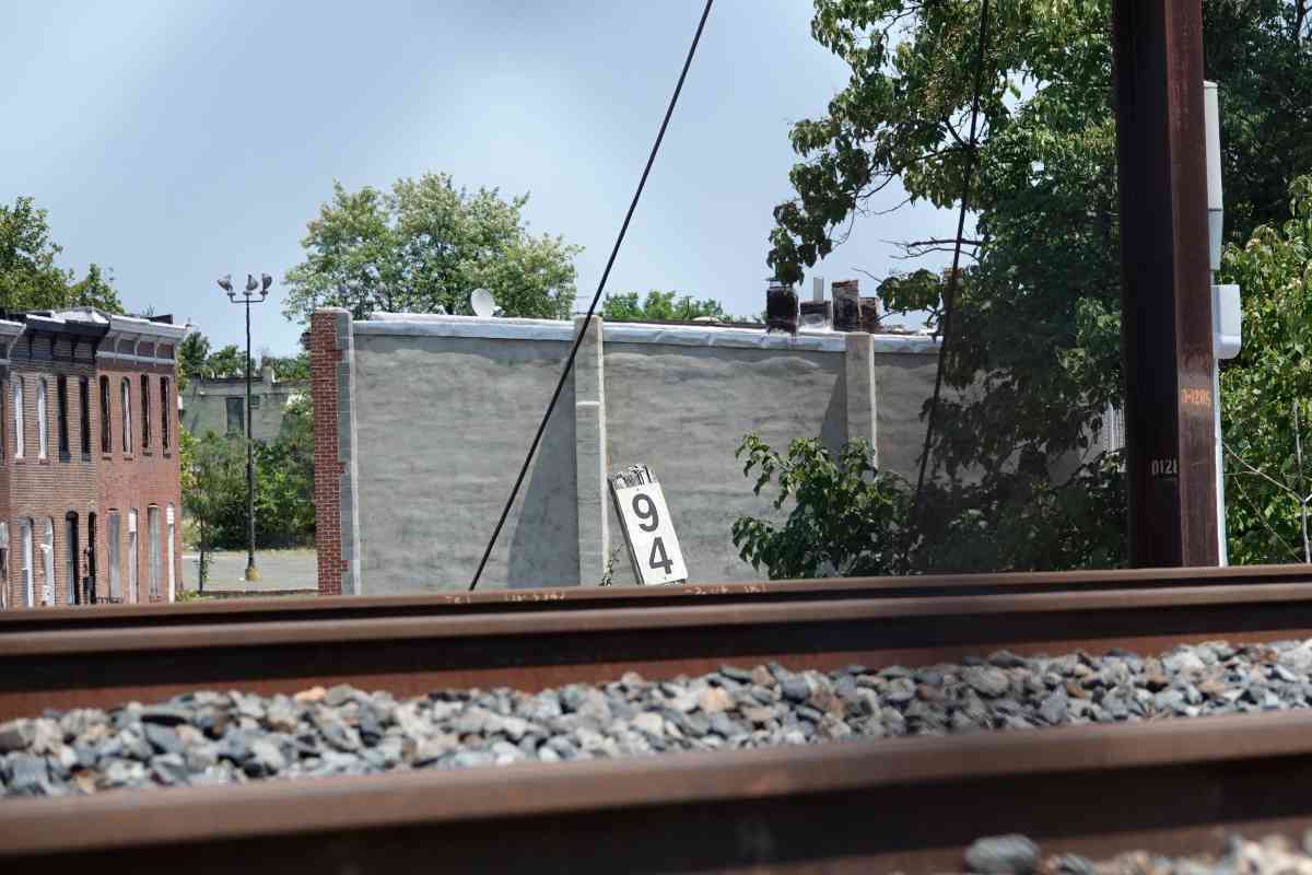
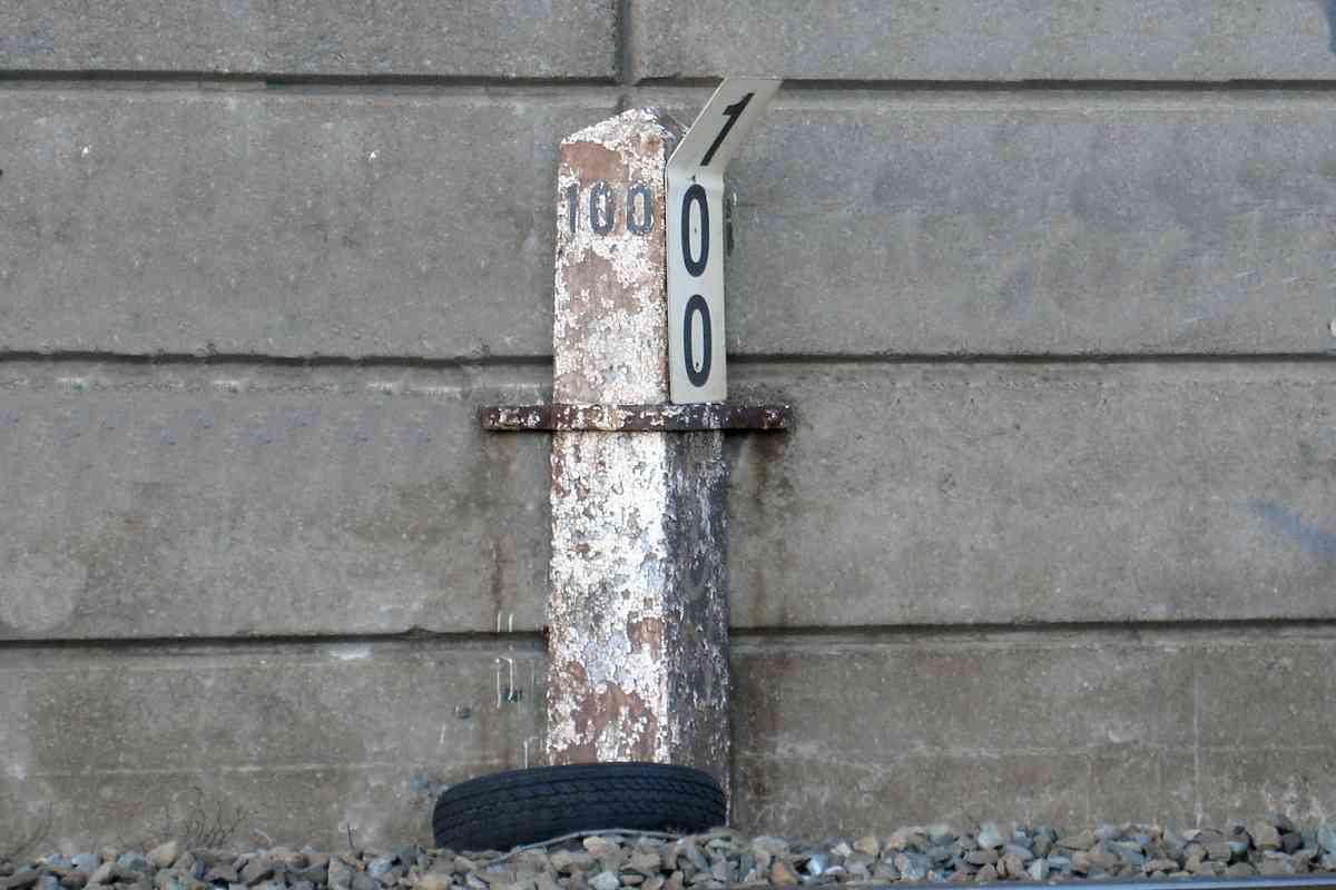
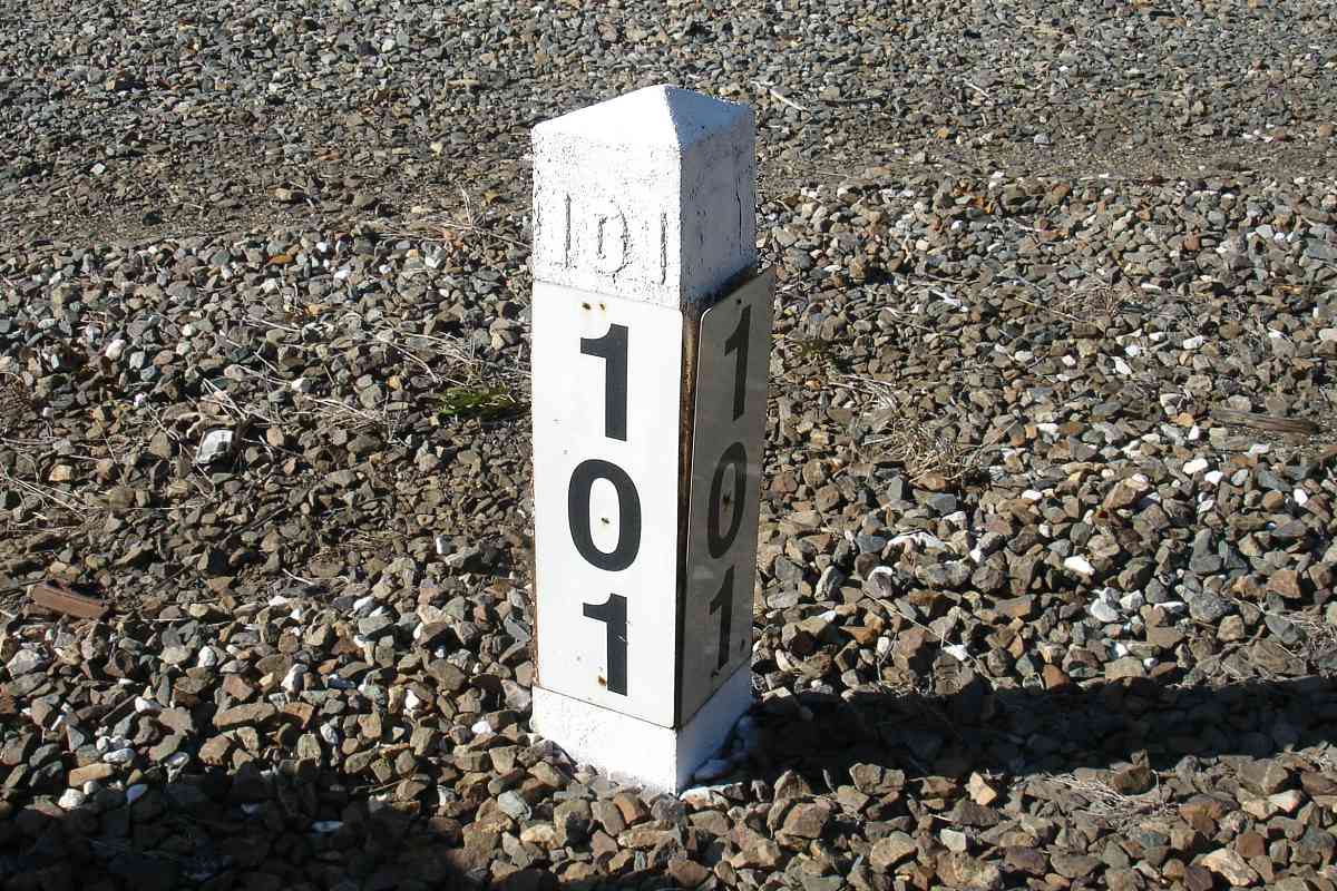
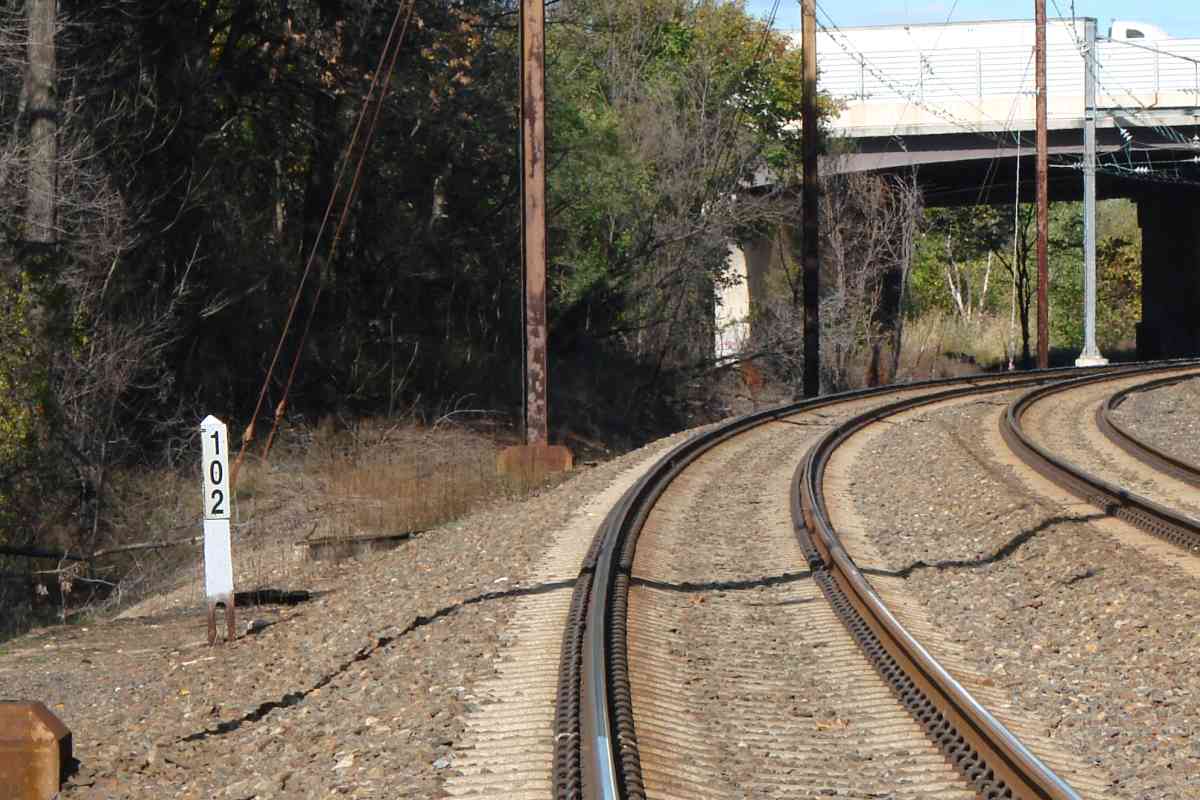
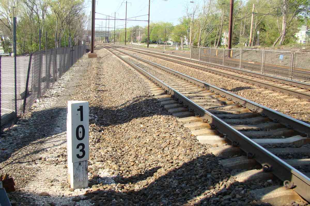
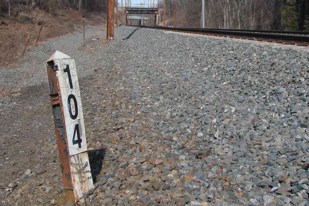
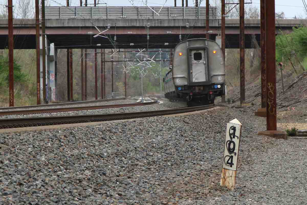
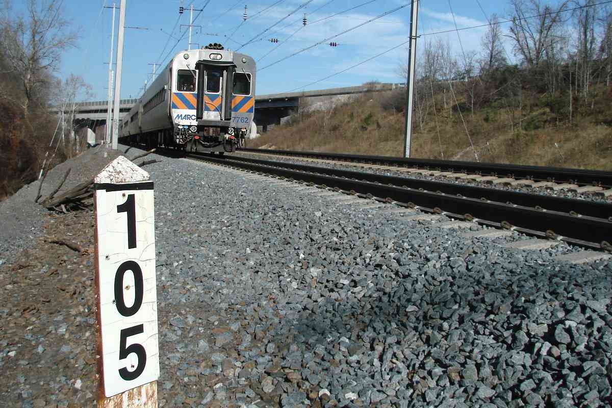
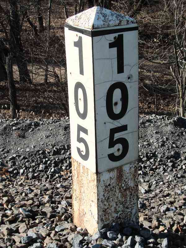
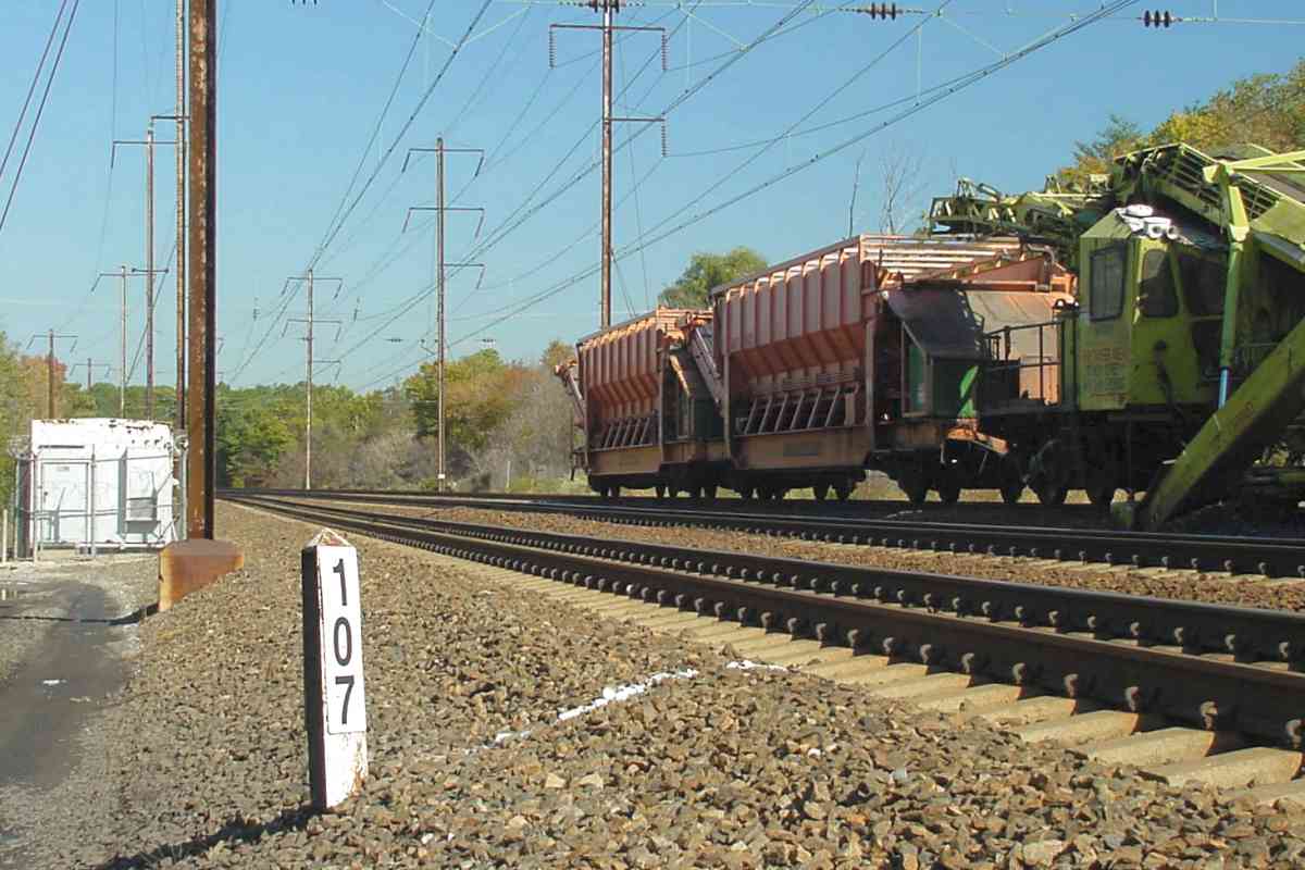
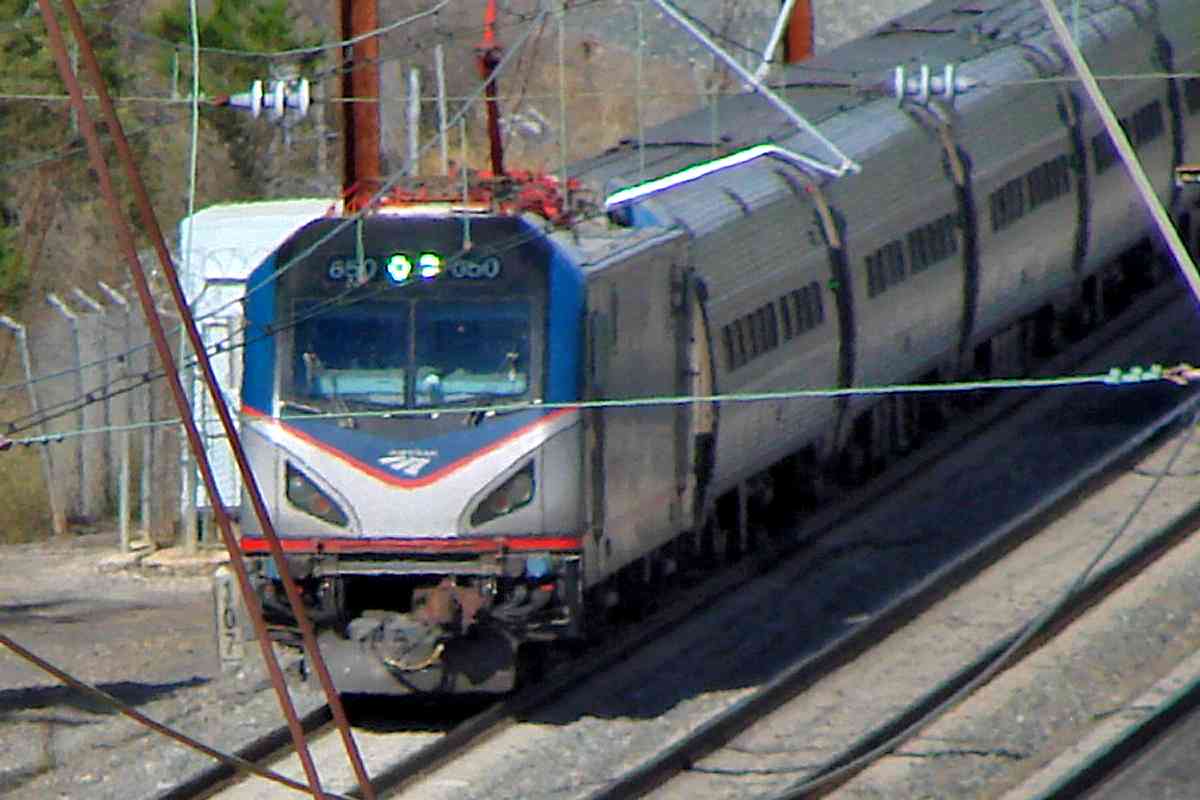
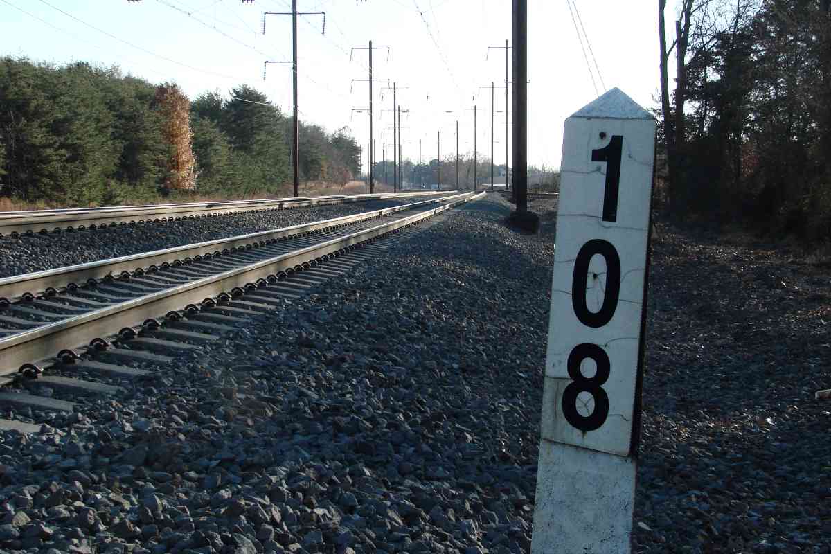
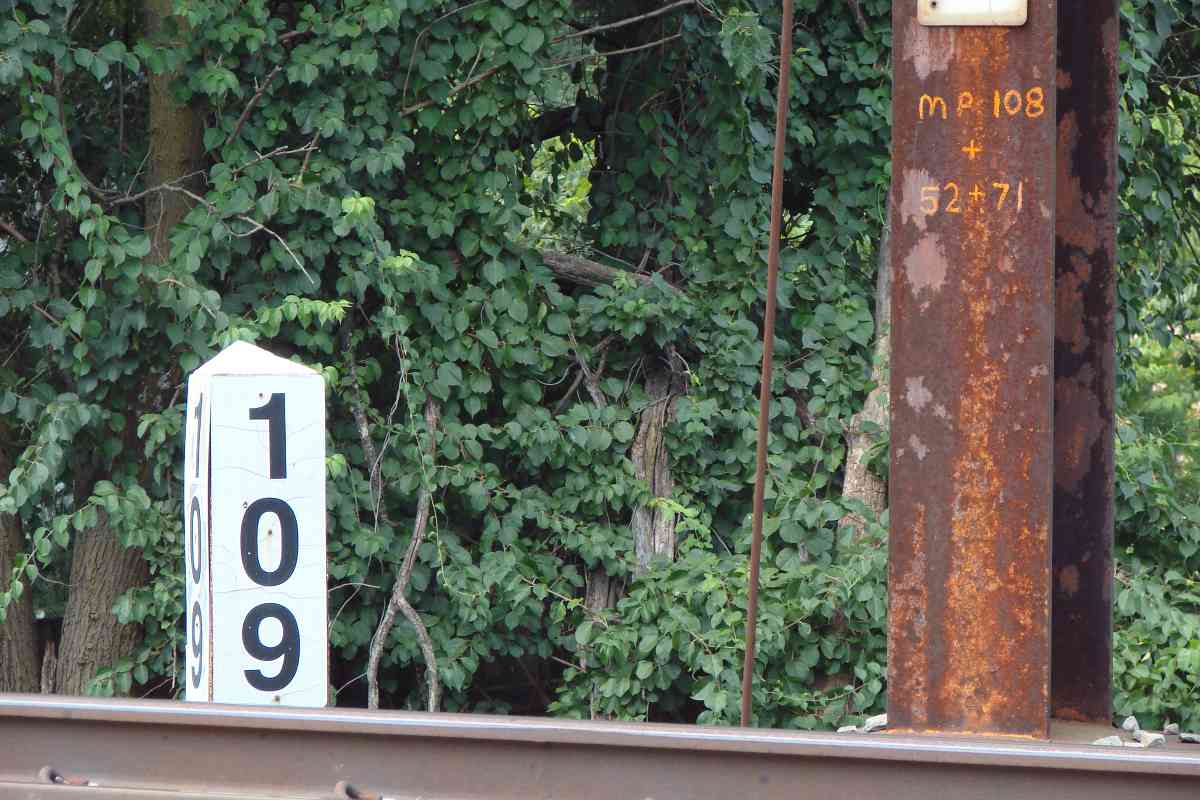
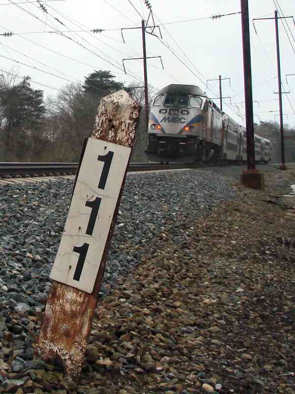
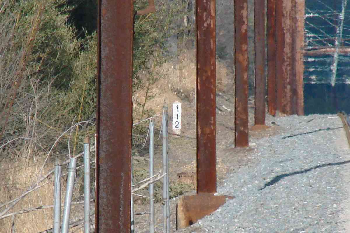
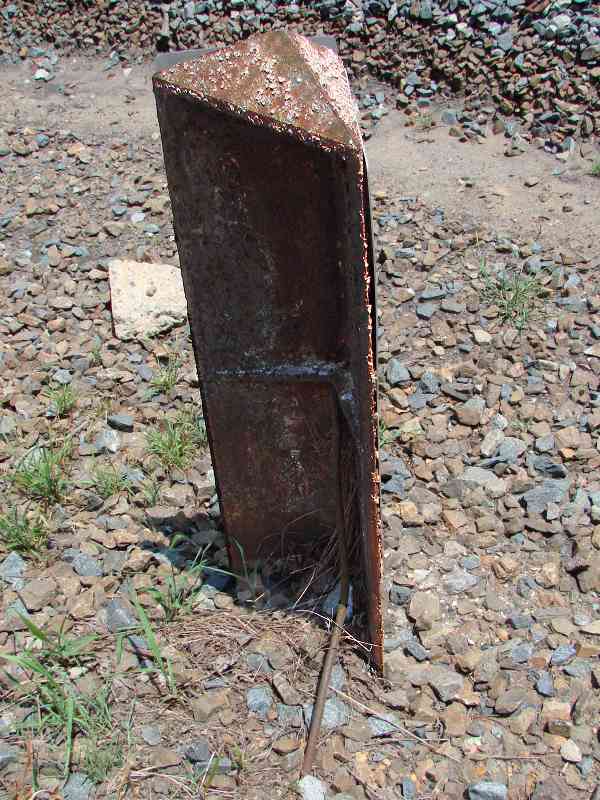
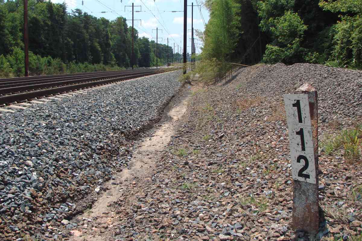
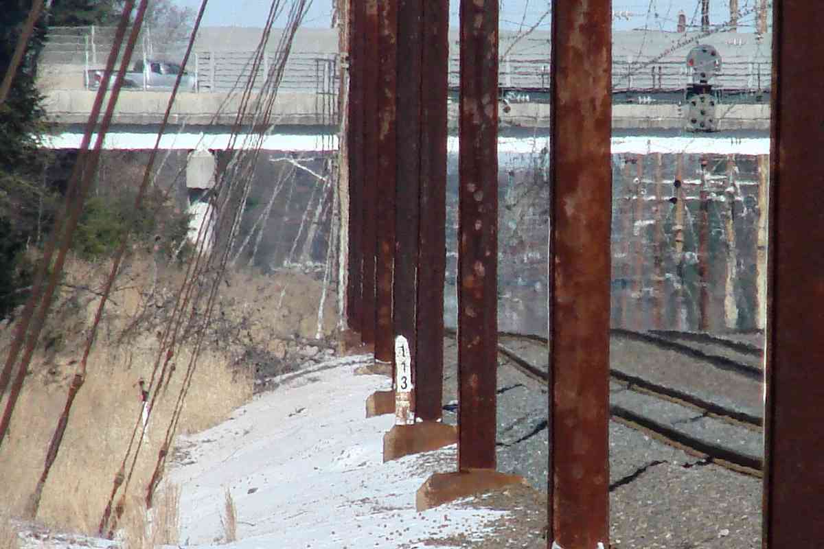
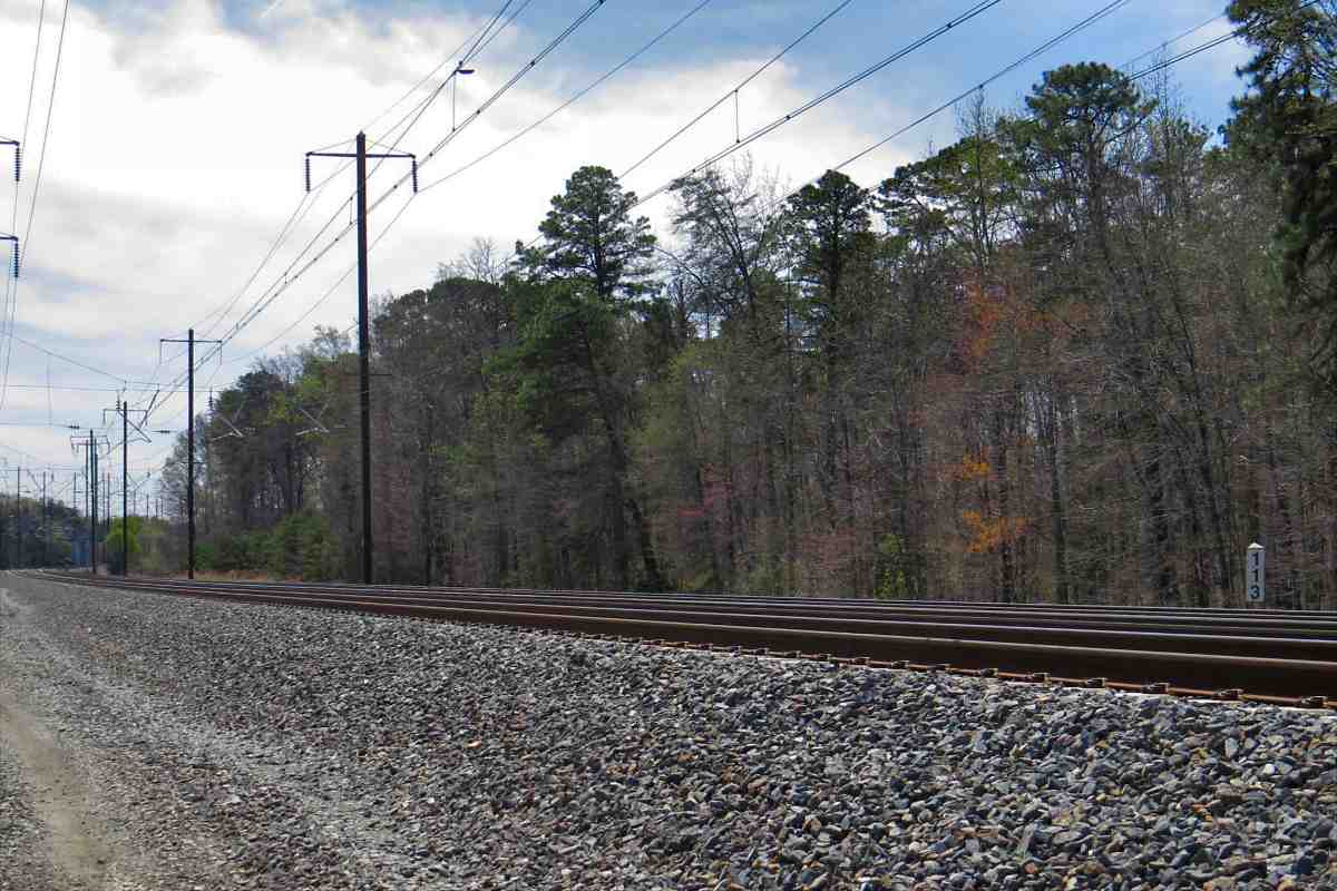
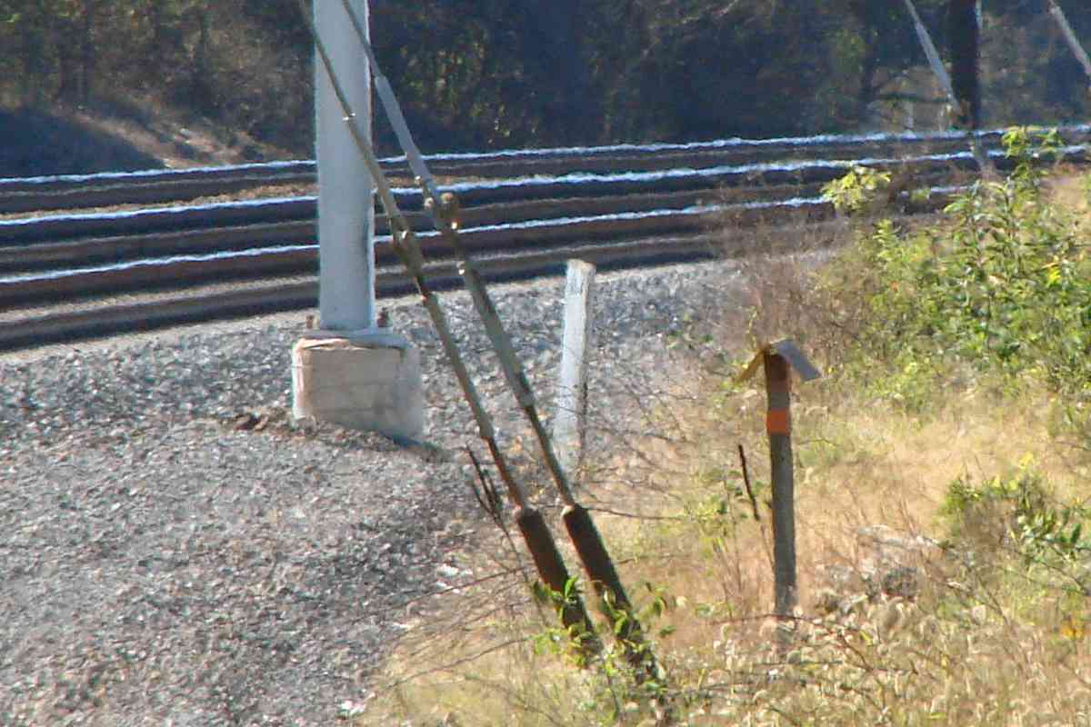
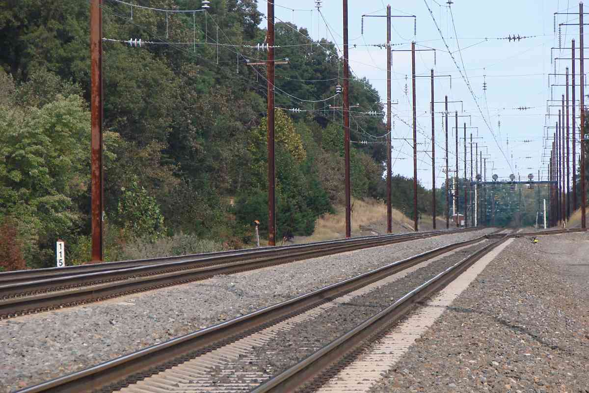
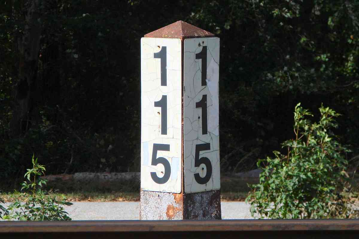
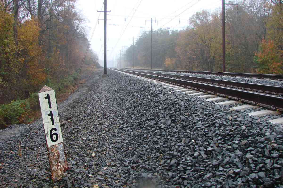
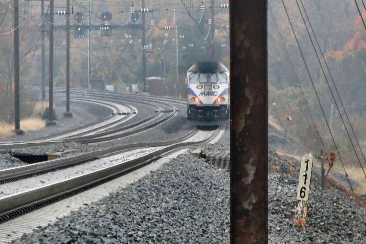
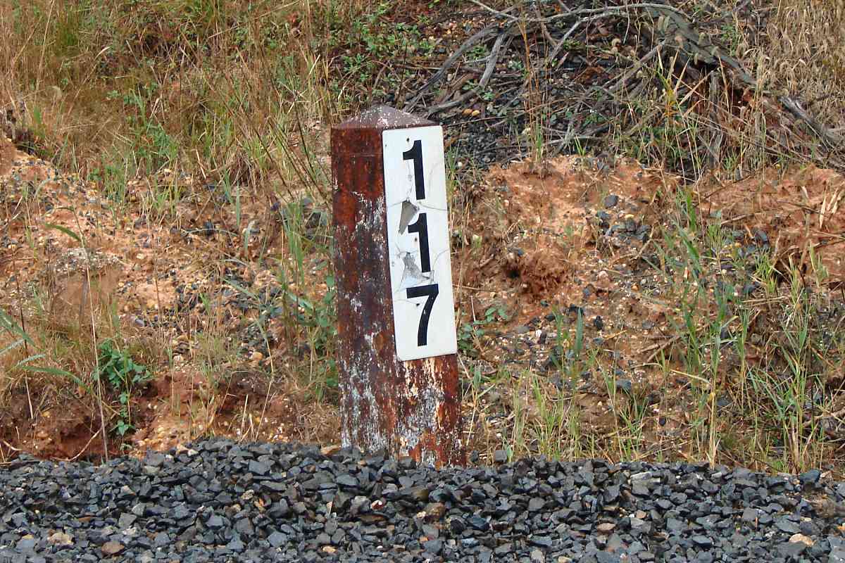
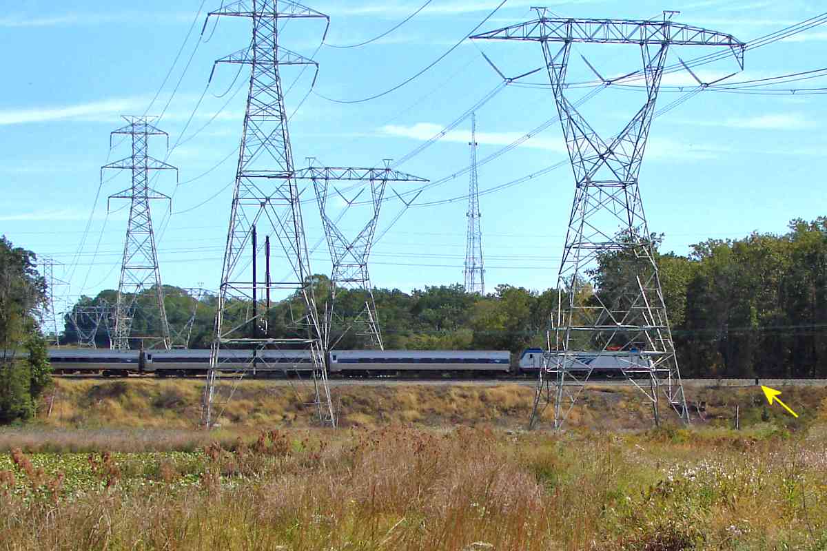
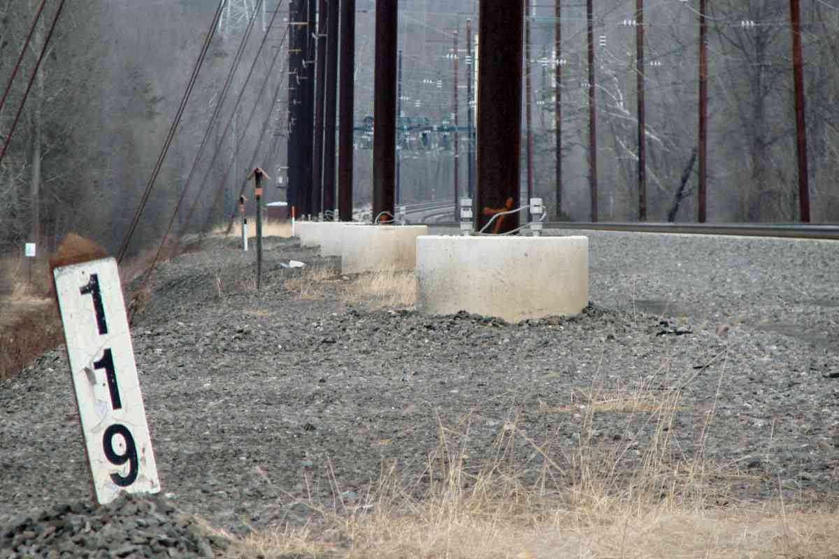
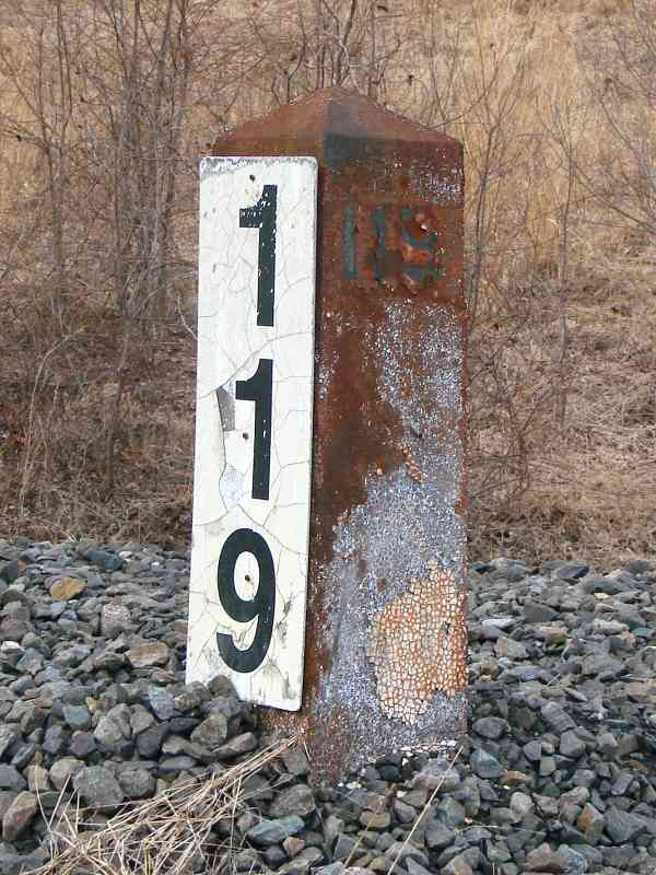
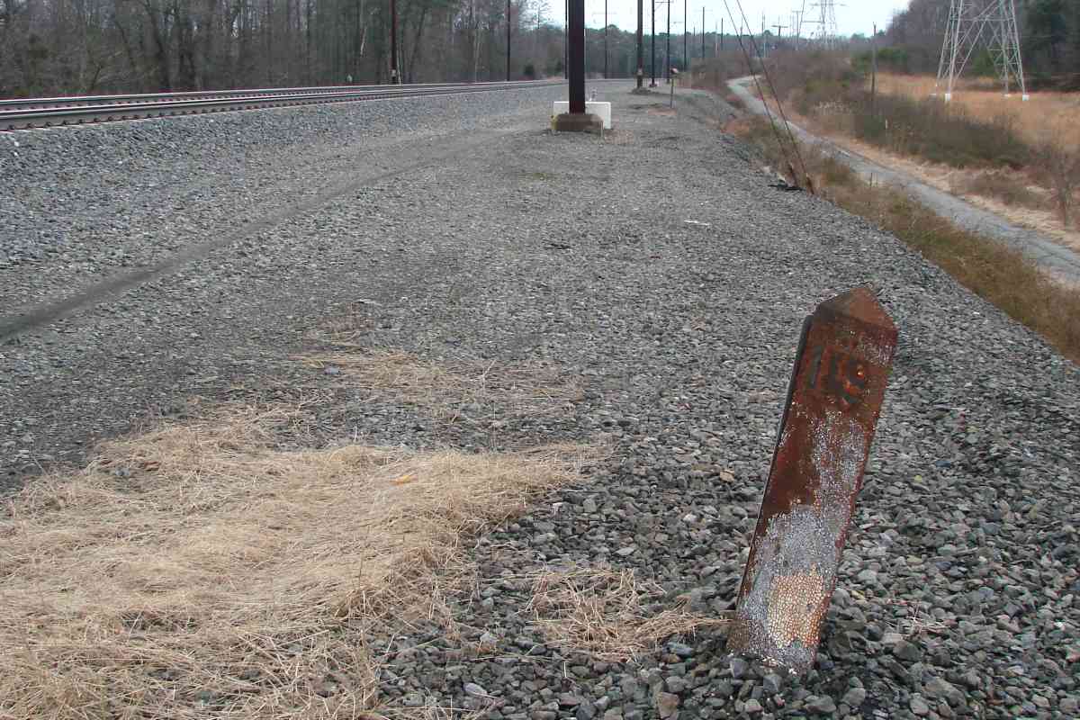
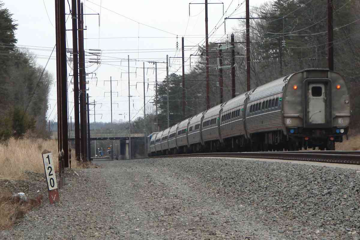
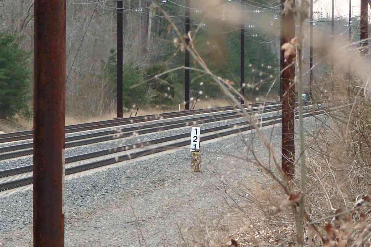
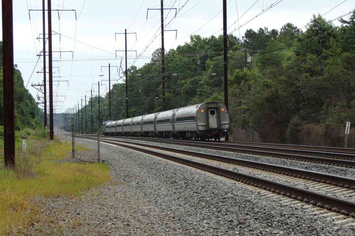
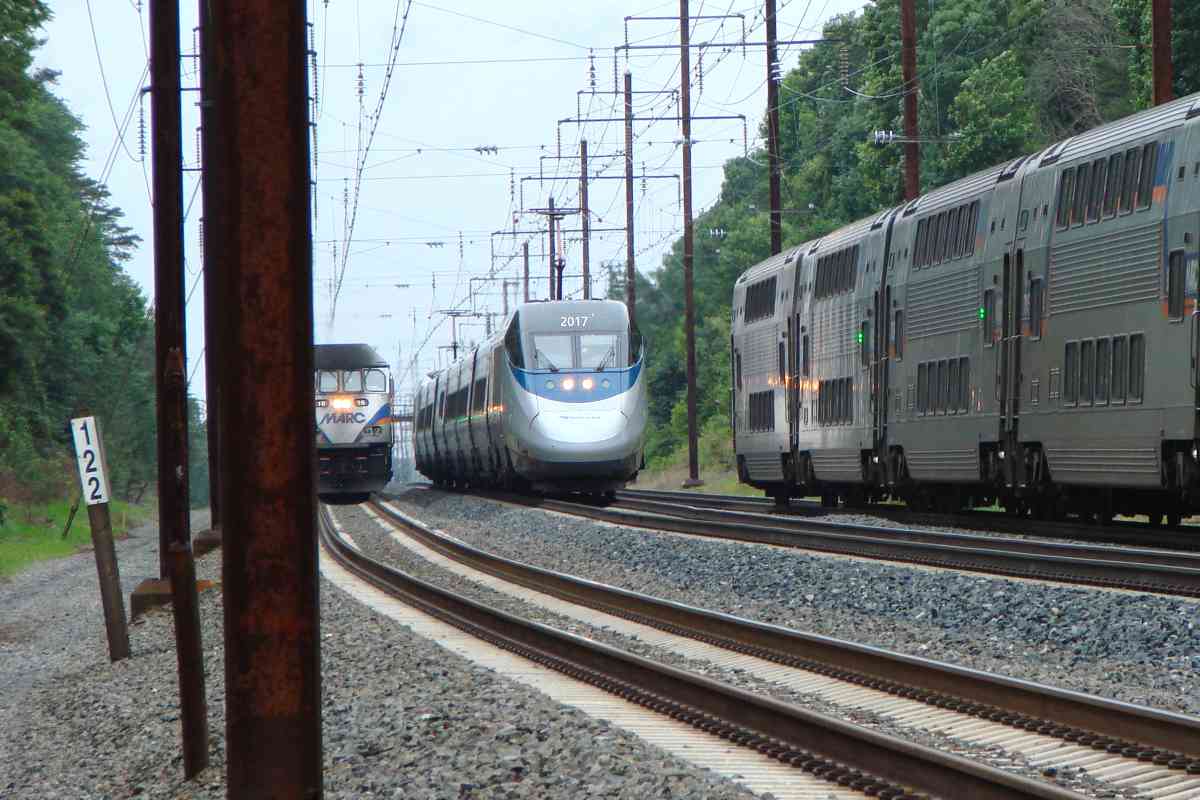
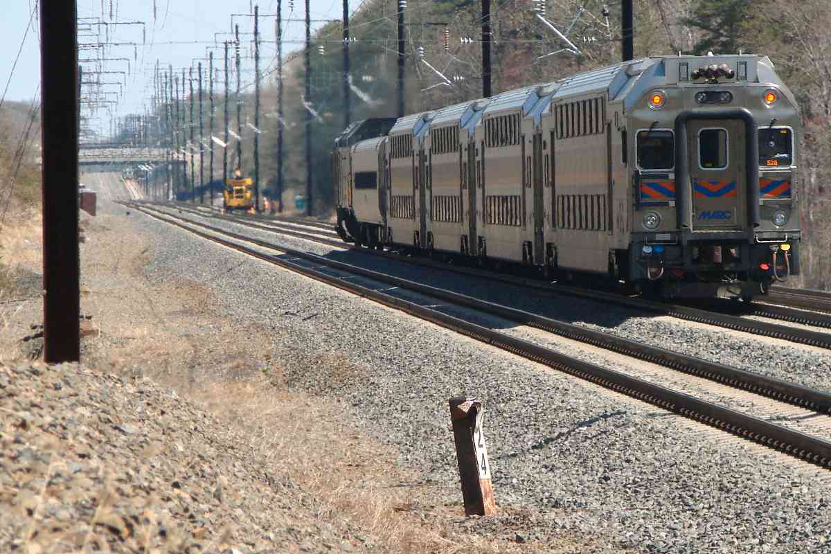
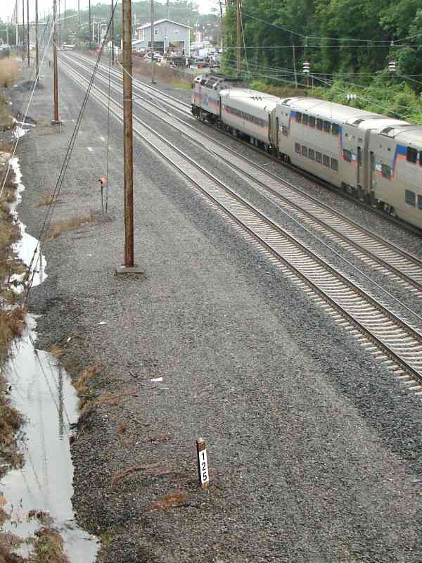
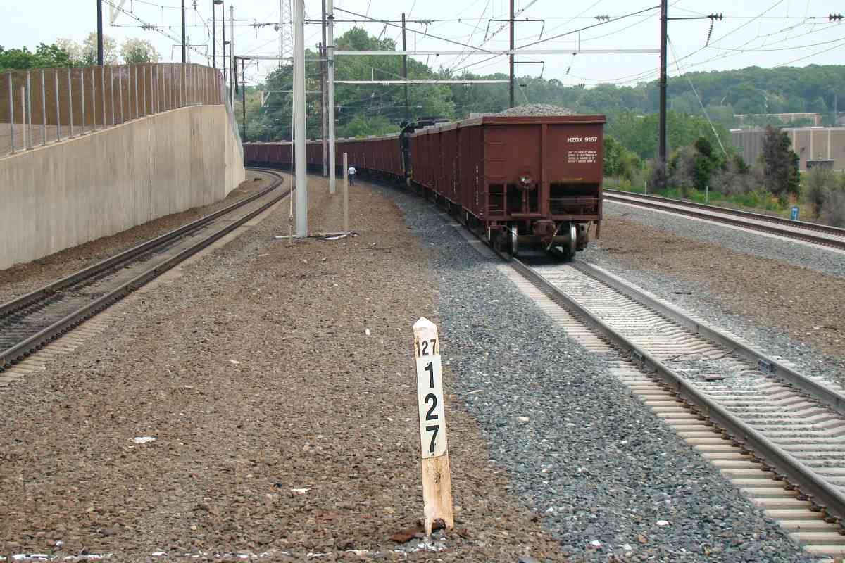
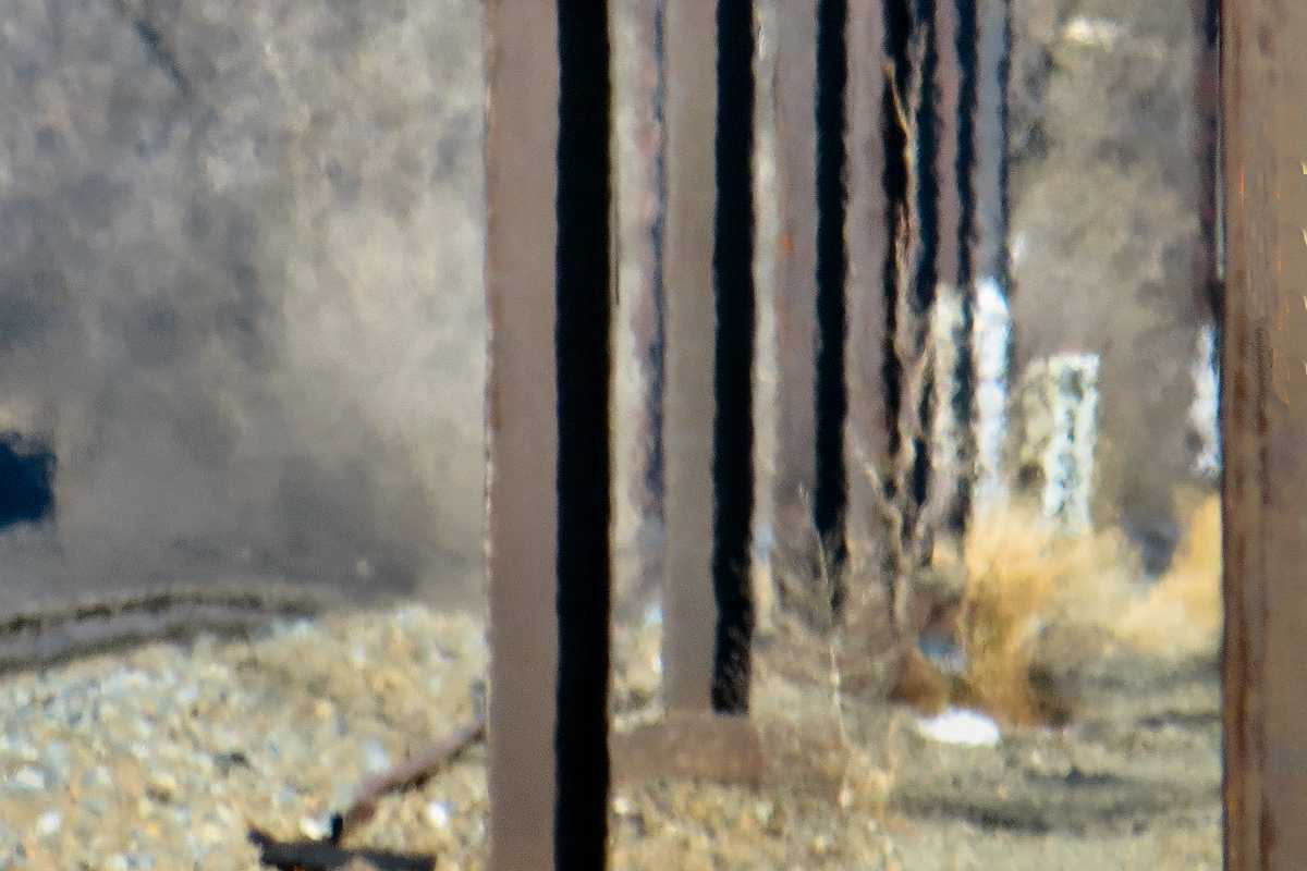
Many extant mile markers date to the 1902 merger of the Philadelphia, Wilmington and Baltimore Railroad (PW&B) and the Baltimore and Potomac Railroad (B&P) to form the Philadelphia, Baltimore and Washington Railroad (PB&W). These originals are prism-shaped and metallic, probably iron, with raised black digits on a white-painted background, though many have become quite rusty. The mileposts stand about 3 feet above the ground. To many posts Amtrak has affixed placards with larger digits arranged vertically; these larger digits express the same number as the originals under the placards. Almost all the markers are located on the north/west side of the tracks.
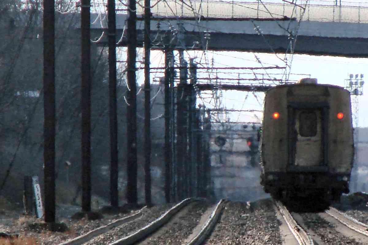
The photo links are named by approximate compass direction of their view. Unless otherwise noted, the trackside mile marker sign or post can be seen within the photo. The letter Y in the table's "Orig?" column means at last check the original PB&W marker was extant.
Over time I hope to fill in those missing from the table. Any comments? EMail me.
+ = newest addition(s) to list
| MILE | VIEW DIRECTION | ORIG? | COMMENTS |
|---|---|---|---|
| 66 | east | n | near Aberdeen, MD |
| 67 | west | Y | |
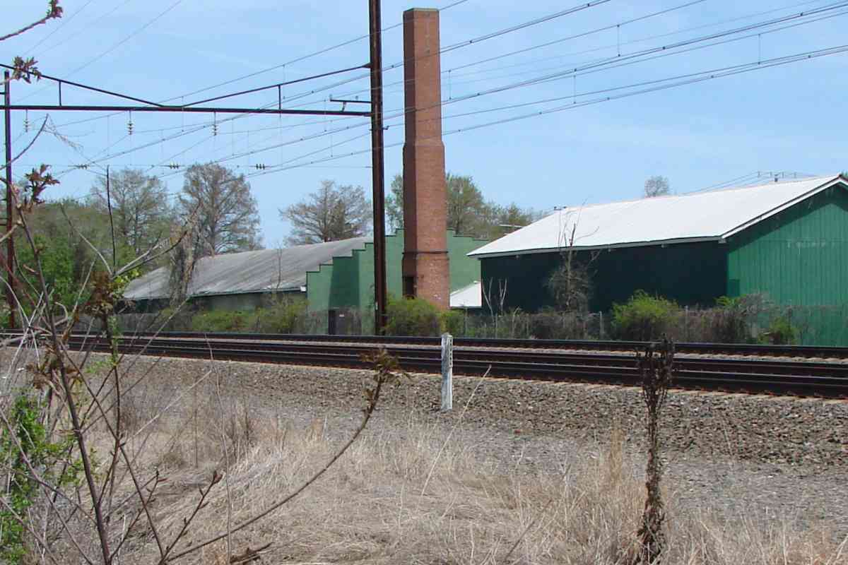
| 69 | north | Y | |
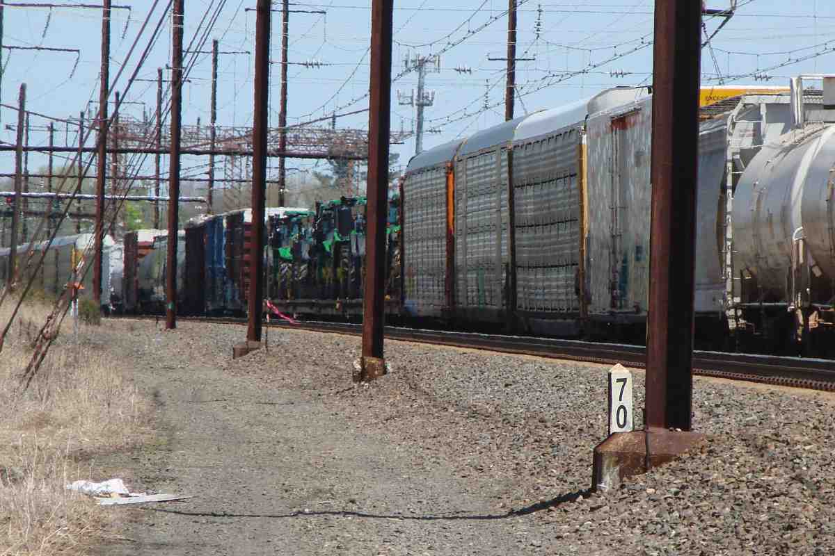
| 70 | east, west | Y | |
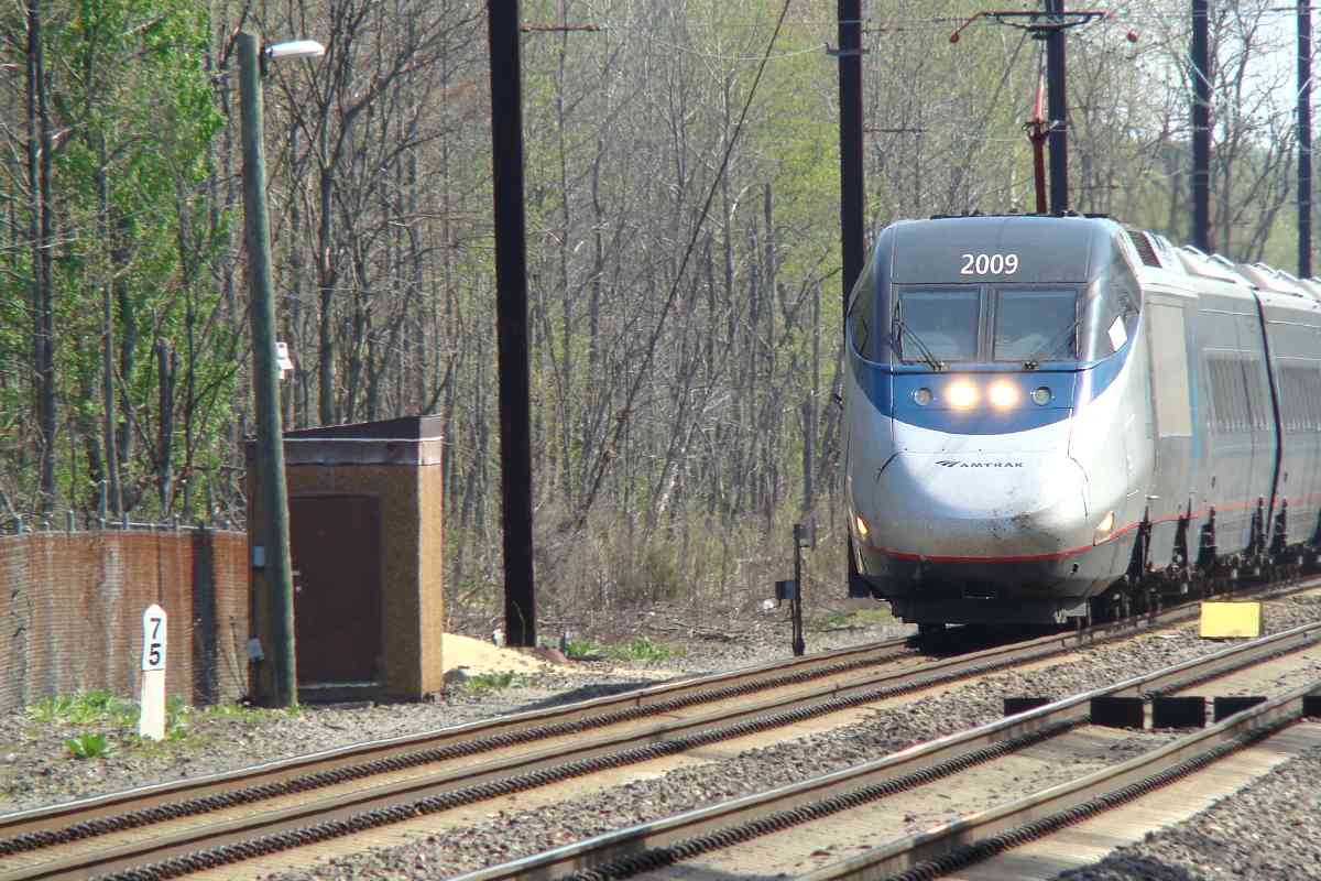
| 75 | east (DH) | Y | AMTK 2009 |
| 76 | west | Y | |
| 81 | west | Y | |
| 82 | north, west | Y | |
| 83 | east, west | Y | AMTK 610 |
| 84 | north | Y | Martin State Airport Station |
| 87 | east (DH), west (DH) | Y | |
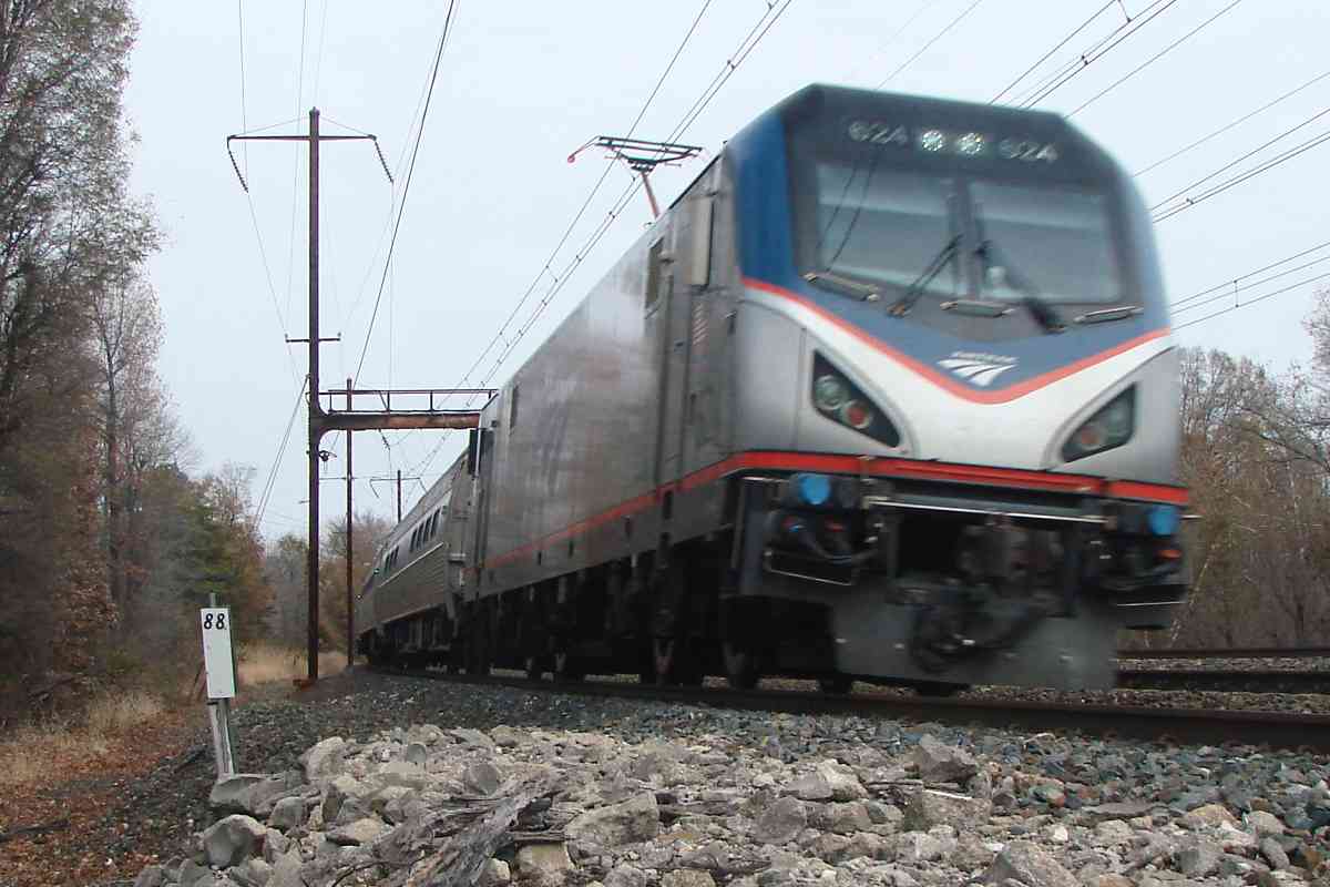
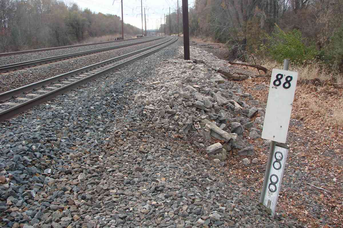
| 88 | east, south | n | homemade milepost |
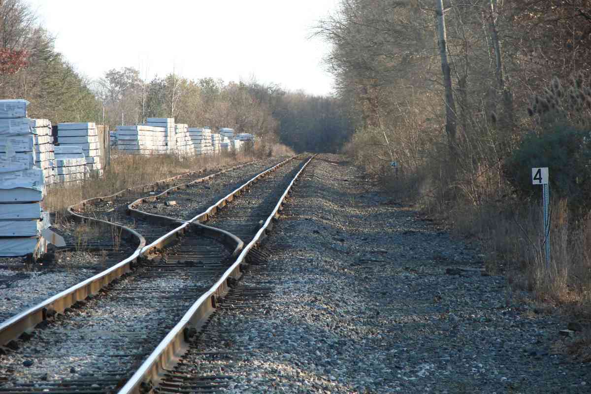
| br 4 | south | n | To Sparrows Point |
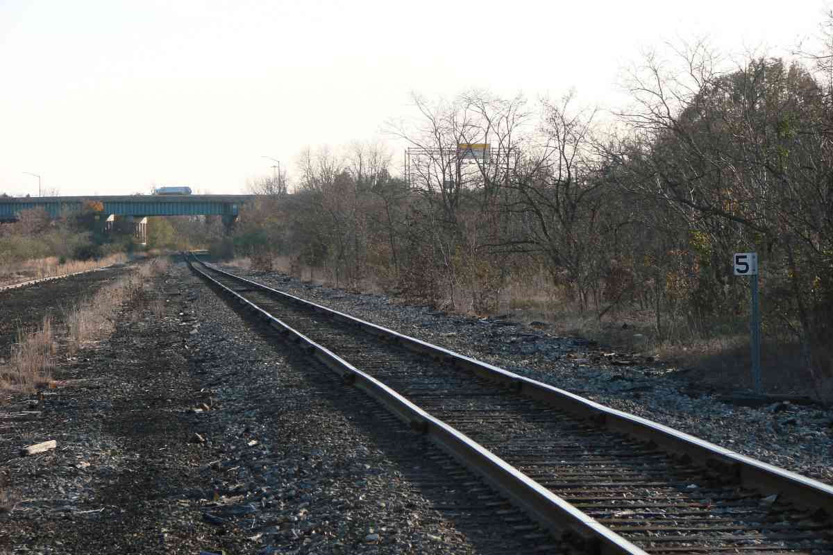
| br 5 | south | n | To Sparrows Point |
| 90 | west | Y? | |
| 91 | west | Y | near North Point Boulevard |
| 92 | west | Y | |
| 93 | east | Y | AMTK 2014 |
| 94 | north+ | n | awkward to reach |
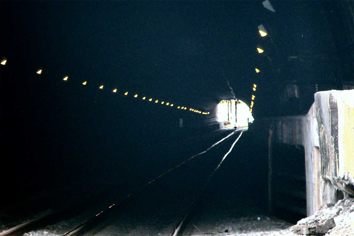
| 95 | west | n? | inside Union Tunnel, below Ensor Street |
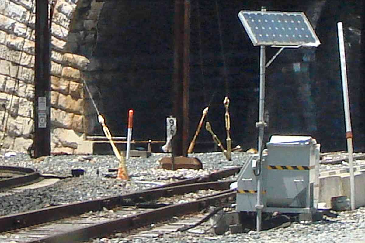
| 96 | west | n | outside John Street tunnel north portal, damaged, only 9 digit visible |
| 97 | east (HHH) | n | AMTK 968 during 1977 |
| 98 | east | n | site photo (milepost not present) |
| 99 | north, west | Y | |
| 100 | north (DH) | Y | |
| 101 | east, north (DH) | Y | AMTK 2013 |
| 102 | north (DH) | Y | |
| 103 | north (DH), north (DH) | n | Halethorpe Station; AMTK 662; wood is substituting |
| 104 | north, south | Y | |
| 105 | north, west | Y | MARC 7762 |
| 106 | north | Y | from BWI Rail Station |
| 107 | north, north | Y | AMTK 650 |
| 108 | north, south | Y | with plane |
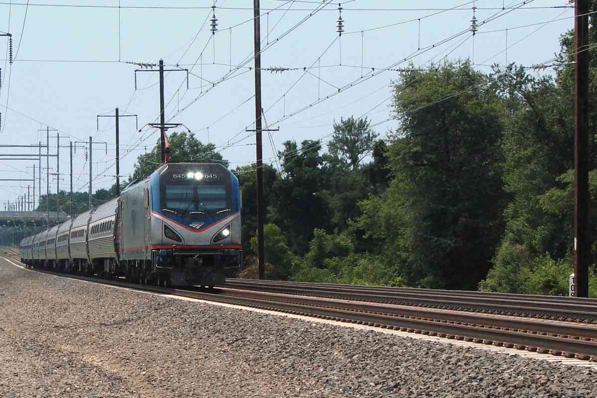
| 109 | west, south | Y | mp 108 + 52 + 71 (5271 feet); AMTK 645 |
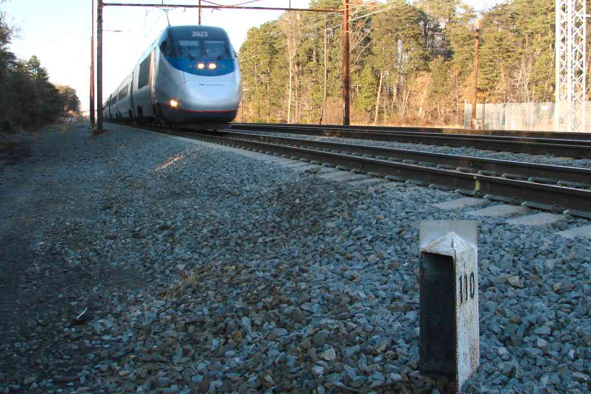
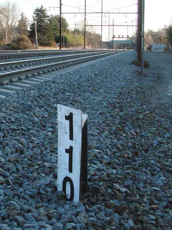
| 110 | north, west, south | Y | AMTK 2023 |
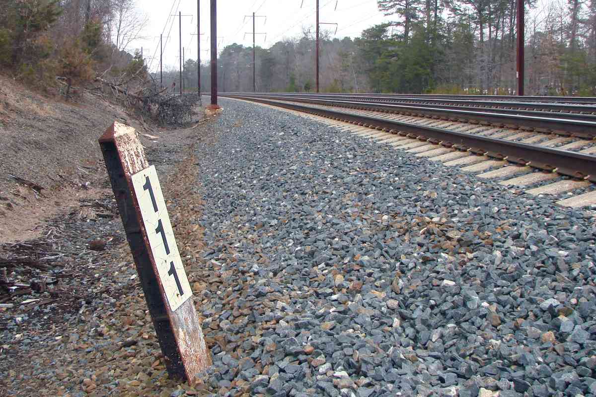
| 111 | north, north, south | Y | closeup, MARC 29 |
| 112 | north, east, south | Y | back view |
| 113 | north, south | Y | |
| 114 | west, south | n | wooden substitute |
| 115 | north, west | Y | |
| 116 | north, south | Y | MARC 25 |
| 117 | west, south | Y | |
| 118 | south, east | Y | near Patuxent River |
| 119 | north, west, south | Y | |
| 120 | north, south | Y | Bowie State MARC station in distance |
| 121 | west | Y | |
| 122 | east, north, west | Y | both tracksides have mileposts; AMTK 651; MARC 16 + AMTK 2017 + MARC 10 |
| 123 | east | Y | Maryland 193 bridges in background |
| 124 | east | Y | damaged |
| 125 | east | Y | |
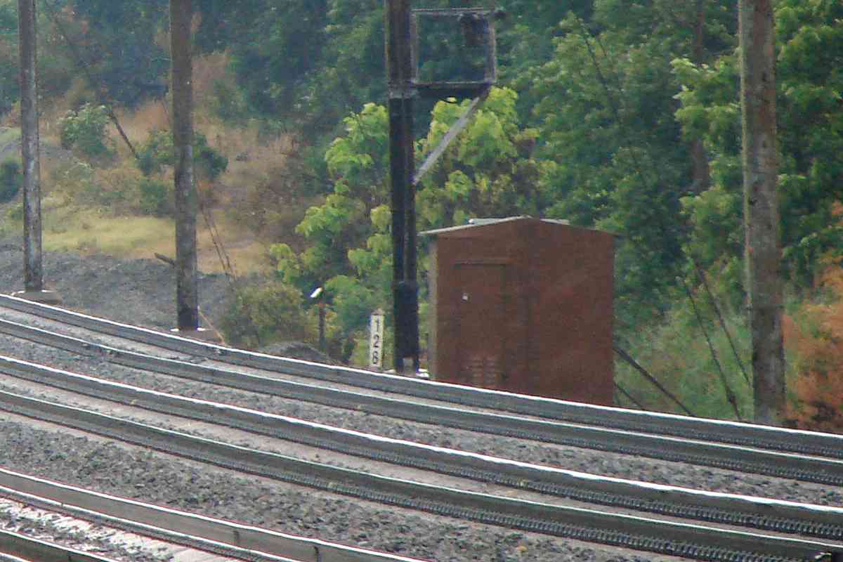
| 126 | east, south | Y | |
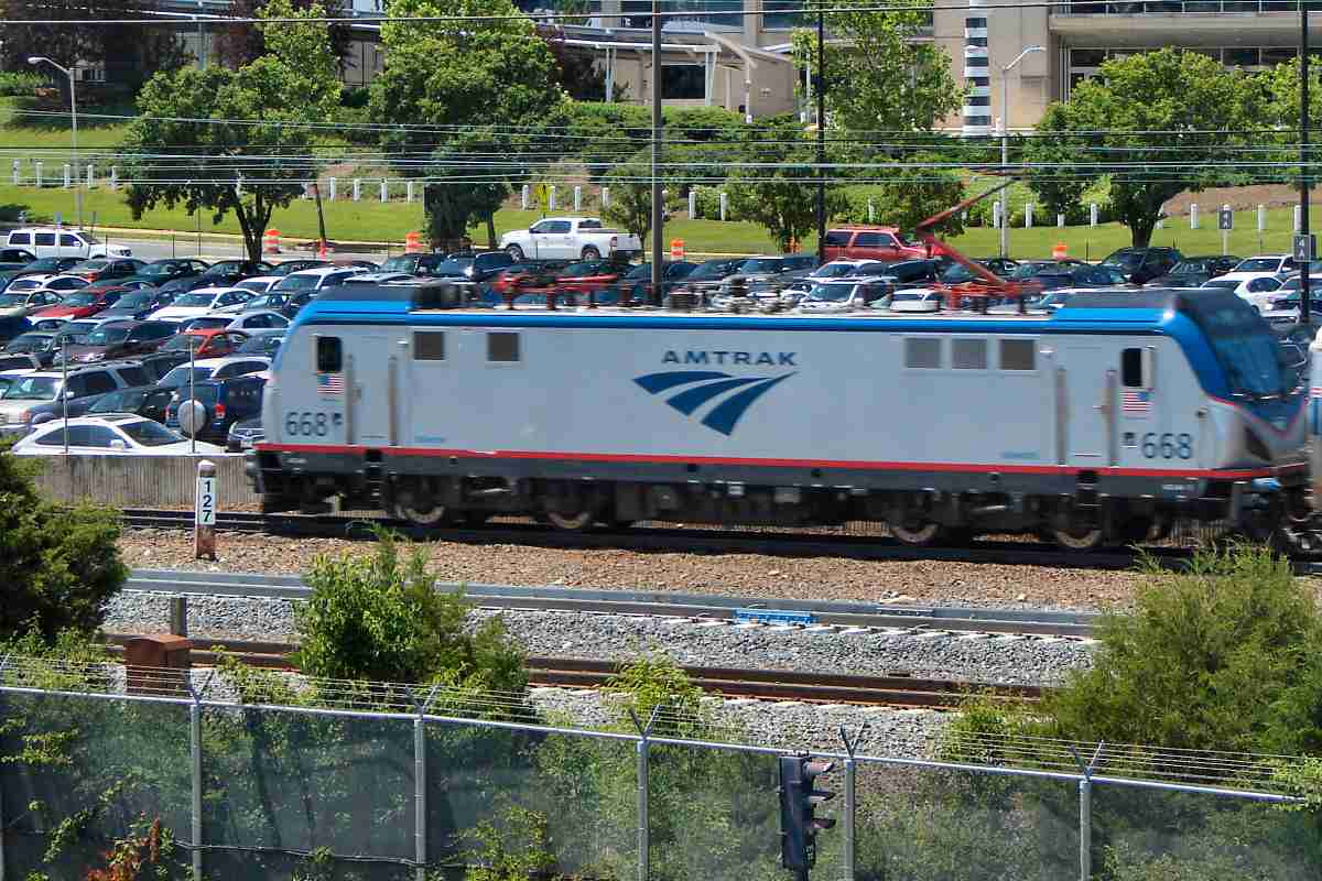
| 127 | east (DH), north | Y | New Carrollton Station, ballast train; AMTK 668 |
| 128 | west | Y? | |
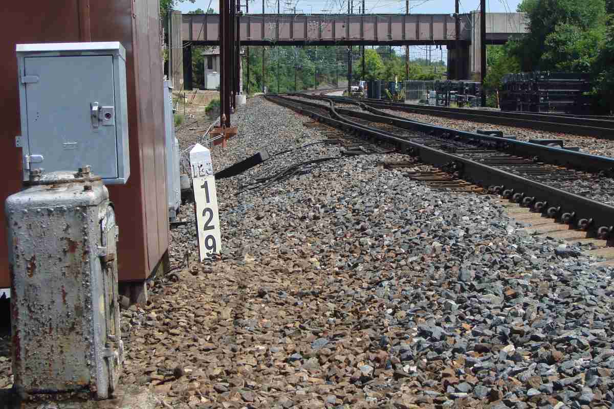
| 129 | north, south | Y | with signal bridge |
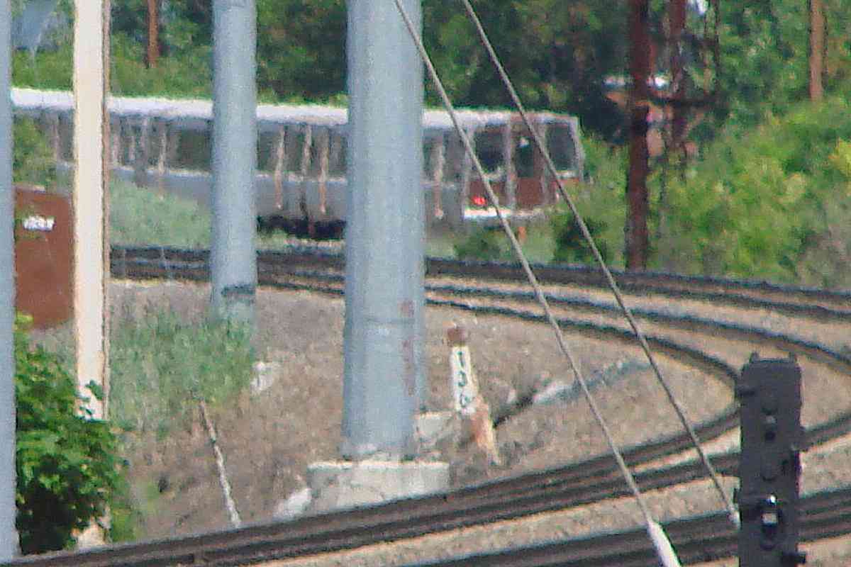
| 130 | east | Y | magnified view from Cheverly Metro |
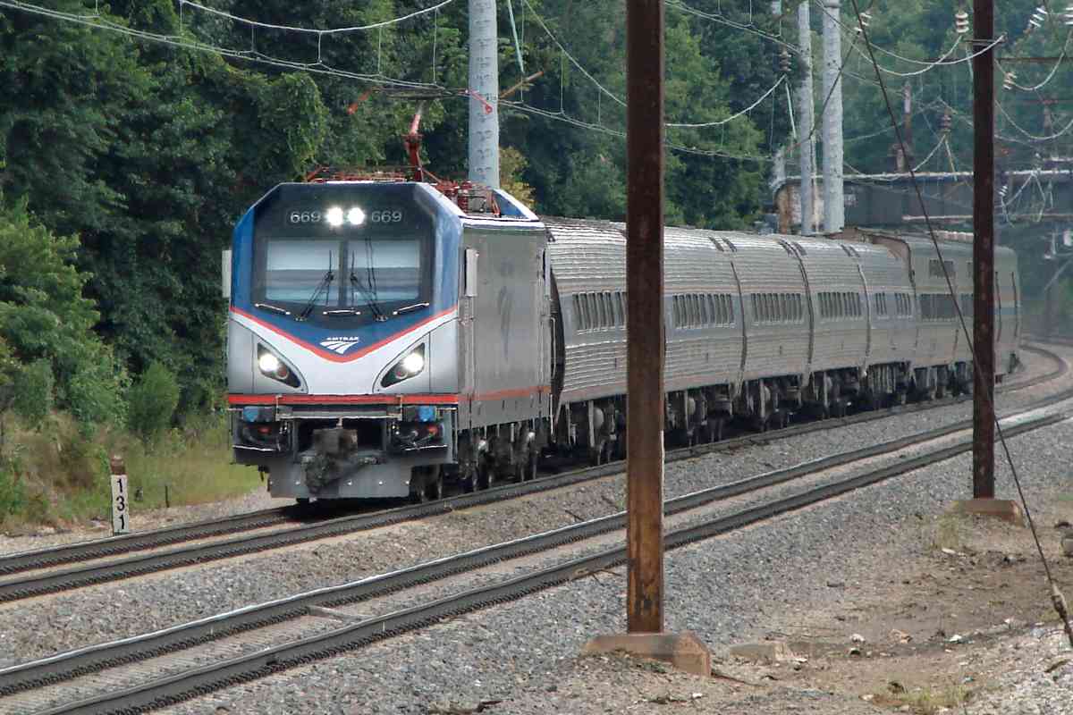
| 131 | east | Y | AMTK 669 |
| 132 | east | Y | AMTK 2014 |
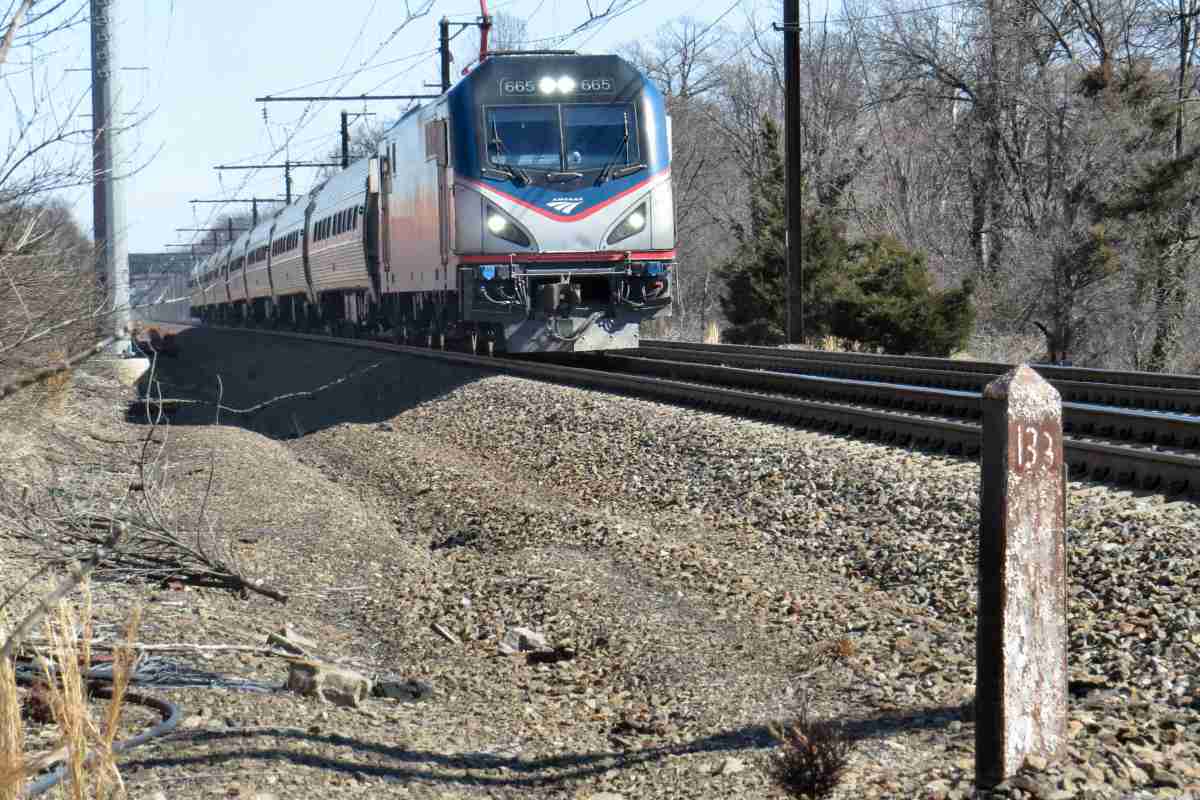
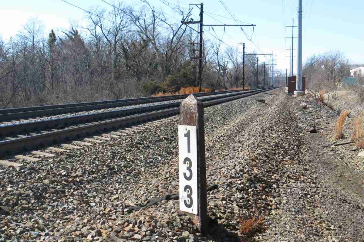
| 133 | east, west | Y | AMTK 665 |
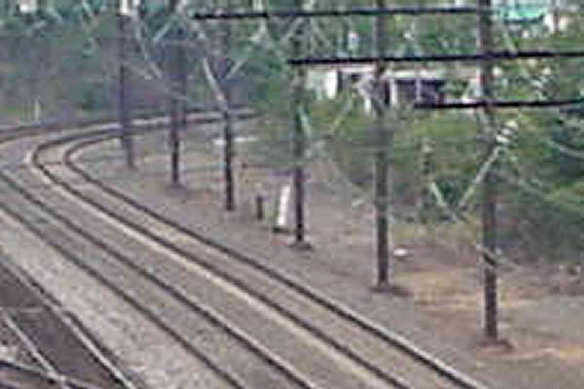
| 134 | east, east, west | Y | deep zoom, highly magnified |
| 135 | east (DH) | Y | as seen from New York Avenue |


