TrainWeb.org Facebook Page
Old Main Line Photo Tour


B&O Old Main Line
Modern day photo tour

Accompanying each photo below are:

Click a photo to see a larger view. Please send your comments and corrections to Steve.


Gaither Water Tanks - Brief Historical Background:

East Tank Water Supply

Pipes

Pipes
Mile: 29.9 up 0.3 Date: Jan 2015
Ease: A View: E
Area: A IC2:
Map: Ca 34 G 4 Topographic Maps

Without reference photos of other B&O water tank supply systems, I was reduced to imagining what one might look like. The logical place to explore was uphill (north) of the tank. Indeed, about a quarter mile north of the east tank, while driving on Gaither Road south of Schneider Drive one can gaze east and find this length of apparently disused, elevated piping.

I am convinced this piping was not part of B&O's supply, at least not in its original location, because a man-made retaining pond at an ideal spot sits at a lower-elevation. Said pond is at distant left in this photo.


Estelle Court

Estelle Court
Mile: 29.9 up 0.3 Date: Jan 2015
Ease: A View: W
Area: A IC2:
Map: Ca 34 G 4 Topographic Maps

The same pond can be seen from the opposite direction, i.e. looking west, from the west end of Estelle Court. A man-made embankment at left encloses the water on the downhill side. For reference, note not the white structure in the foreground but rather the more distant one on its left beyond the evergreen tree.


Pond

Pond
Mile: 29.9 up 0.3 Date: Jan 2015
Ease: B+ View: W
Area: A IC2:
Map: Ca 34 G 4 Topographic Maps

That white structure is at pond-edge in the distance in this closer view. Swimmers find the wooden walkway helpful, though none posed for this wintry photo as the pond surface crinkled with a thin, icy cover.


Spring

Spring
Mile: 29.9 up 0.3 Date: Jan 2015
Ease: B+ View: NW
Area: A IC2:
Map: Ca 34 G 4 Topographic Maps

The retaining pond is not large, but has a greater storage capacity than the water tanks. It appears to be sourced by a spring covered by a spring house.


Posts

Posts
Mile: 29.9 up 0.2 Date: Jan 2015
Ease: B+ View: NW
Area: A IC2:
Map: Ca 34 G 4 Topographic Maps

Unseen at photo center because from this view it is at a higher elevation is the wooden walkway of the prior photo. Closer than the pond embankment note the wooden poles that enclose a low, brushy area. I believe this brushy area is where water pipes emerged from beneath the pond on their way to the tank. As long as the water kept flowing, it was unlikely to freeze.


Tie

Tie
Mile: 29.9 up 0.2 Date: Jan 2015
Ease: A View: W
Area: A IC2:
Map: Ca 34 G 4 Topographic Maps

Closer examination of the brushy area reveals a moss-covered wooden RR tie as well as rusty pipe and barbed wire. I can envision the B&O would fence off the water supply system so as to discourage damage. I did not check but it is possible the soggy land within still belongs to CSX railroad.


Metal

Metal
Mile: 29.9 up 0.2 Date: Jan 2015
Ease: A View: W
Area: A IC2:
Map: Ca 34 G 4 Topographic Maps

More pipe segments lie in the brush, plus corregated metal that could have served as some sort of structure reinforcement. Locals tell me the piping system had remained mostly intact until the flooding rains of 1972's Tropical Storm Agnes overwhelmed and washed away portions.

Residents with memories of the system describe it as above-ground pipe supported by a wooden structure. I never saw it, but envision it as similar to -- but much smaller and simpler than -- the trans-Alaska pipeline.


East Tank

East Tank
Mile: 29.9 up 0.0 Date: Oct 2013
Ease: A View: W
Area: A IC2:
Map: Ca 34 H 4 Topographic Maps

Closer to the tank I did not find other piping system remants, so here is a picture of the now-empty tank. In this view, the arriving water would have flowed in from the right, while the Old Main Line tracks are unseen on the left. The tank is roughly 20 feet in diameter and 20 feet deep, large enough to hold about 50,000 gallons of water.

If this tank was like its cousin on the west side of Gaither Road, it wore a wooden roof as a hat. Either that roof was blown off by storm winds, or has been extracted since no remnants of it are visible here.


Hidden

Hidden
Mile: 29.9 Date: Oct 2013
Ease: B View: N
Area: A IC2:
Map: Ca 34 H 4 Topographic Maps

Though not far from the rails, both the east and west tanks are shrouded by leaves during summer.

Typical 20th century B&O steam locomotives consumed about 6000 gallons of water per hour of full-speed operation. Those equipped with water tenders carried 10,000 to 20,000 gallons. This tank could completely refill several thirsty locomotives before it itself ran low.

Next, we'll jump uphill to the west tank's water source.


West Tank Water Supply

Dam

Dam
Mile: 30.1 Date: Jan 2015
Ease: B View: N
Area: A IC2:
Map: Ca 34 Topographic Maps

Each water tank at Gaither, and elsewhere, required a supply customized to suit the location. Desert-region tanks would be refilled from special water supply trains, but such steps were not necessary in the lush Patapsco Valley. For the west tank's supply, B&O decided to dam up the Patapsco River tributary known as Pool Branch. The century-old concrete remants survive as seen here.

Since this is on private land, as a condition of displaying these photos the landowner requested I not give directions to the location. Please respect the intent and do not explore the area without permission.


Breach

Breach
Mile: 30.1 Date: Jan 2015
Ease: B View: E
Area: A IC2:
Map: Ca 34 Topographic Maps

I am told after disuse the dam gradually silted up and was finally breached in 1972 by the floods of storm Agnes. As of that year, no regular service steam locomotives had chuffed along the OML for two decades, so B&O saw no reason to effect repair.


Debris

Debris
Mile: 30.1 Date: Jan 2015
Ease: B View: S
Area: A IC2:
Map: Ca 34 Topographic Maps

A short distance downstream of the dam, concrete pieces that may have been part of the piping system now serve as erosion control.


Various

Various
Mile: 30.1 Date: Jan 2015
Ease: B View: SW
Area: A IC2:
Map: Ca 34 Topographic Maps

The stream flows in a narrow valley which suggests the water piping system paralleled. Scattered further downstream more concrete slabs and rusty pipes can be found. The green corregated material reminds me old corrigated material also lurks along the east tank's water path, as had been shown in a photo above.


Block

Block
Mile: 30.1 Date: Jan 2015
Ease: B View: W
Area: A IC2:
Map: Ca 34 Topographic Maps

Where the narrow valley widens this zoom photo across to the opposite bank shows a rust-stained concrete block where there is otherwise no reason for one. Residents say the pipes had been underground for most of their run but at some point they emerged, perhaps at this block, and then continued upon a timber structure.


Slope

Slope
Mile: 30.1 Date: Jan 2015
Ease: B View: S
Area: A IC2:
Map: Ca 34 Topographic Maps

This clear, gently sloping stretch is in the right location to support a gravity-based water system.


Route

Route
Mile: 30.1 Date: Jan 2015
Ease: B View: W
Area: A IC2:
Map: Ca 34 Topographic Maps

Assuming the piping system continued downhill, topographic maps suggest this is the route it took (blue line) so as to curve around a hill. With a stream nearby that could serve as water source, it is puzzling B&O did not place the dam here, where it would be significantly closer to the west tank. Perhaps the property owner at the time declined to permit a dam.


Approach

Approach
Mile: 30.1 Date: Jan 2015
Ease: B+ View: NW
Area: A IC2:
Map: Ca 34 Topographic Maps

With the west tank not far on the left, a shelf of land suggests the water flowed here, right to left. Utility poles, commonly found paralleling railroad property, support this contention.

I am told there was a pump house in this vicinity. Given this was a gravity-driven system, I do not see B&O had need for pumped water here, so surmise a Gaither pump house provided water to nearby homes.


Hidden

Hidden
Mile: 30.1 Date: Jan 2015
Ease: B+ View: W
Area: A IC2:
Map: Ca 34 G 4 Topographic Maps

Though the west tank is closer to the tracks than is the east, it is even more camouflaged by brush. I had walked past several times during leaf season and could not find the tank. Even during winter it is not obvious.


West Tank

West Tank
Mile: 30.1 Date: Jan 2015
Ease: B View: E
Area: A IC2:
Map: Ca 34 G 4 Topographic Maps

The interior of the west tank contains more artifacts than the east, including the collapsed remains of its wooden roof, and a rusty center support column. Note the access door within the roof, and for size reference, the discarded whitewall automobile tire. The east tank lacks this one's concrete lining, suggesting the two tanks were not constructed contemporaneously.


Trackside

Trackside
Mile: 30.1 Date: Jan 2015
Ease: B View: NW
Area: A IC2:
Map: Ca 34 G 4 Topographic Maps

From the right spot with the right lighting the tank can be seen from trackside along Railroad Avenue. That spout at the top may have allowed overflows to escape in a controlled fashion.

B&O employed far more tanks than track pans. With track pans, water between the rails can be scooped up as a train rolls along. There were no track pans along the OML; the closest B&O ones were in New Jersey.


Penstocks
Photo courtesy John Teichmoeller collection

Penstocks
Mile: 11.5 Date: ~1950
Ease: C+ View: W
Area: A IC2:
Map: Ho 12 K 11 Topographic Maps

Underground pipes carried water from the tanks to trackside water supply towers called penstocks. This photo shows two penstocks in the foreground, the columns with spouts, that had been at Lees, Maryland about 20 track miles east of Gaither. A train crew member pulled a cord to rotate the spout over a tender's water inlet, then started the flow. The tall structure at distant center refilled locomotives with coal; Gaither did not have such a coaling station.


Penstock Pad

Penstock Pad
Mile: 30.2 Date: Oct 2013
Ease: A- View: NE
Area: B+ IC2: 280
Map: Ca 34 G 5, Ho 4 G 6 Topographic Maps

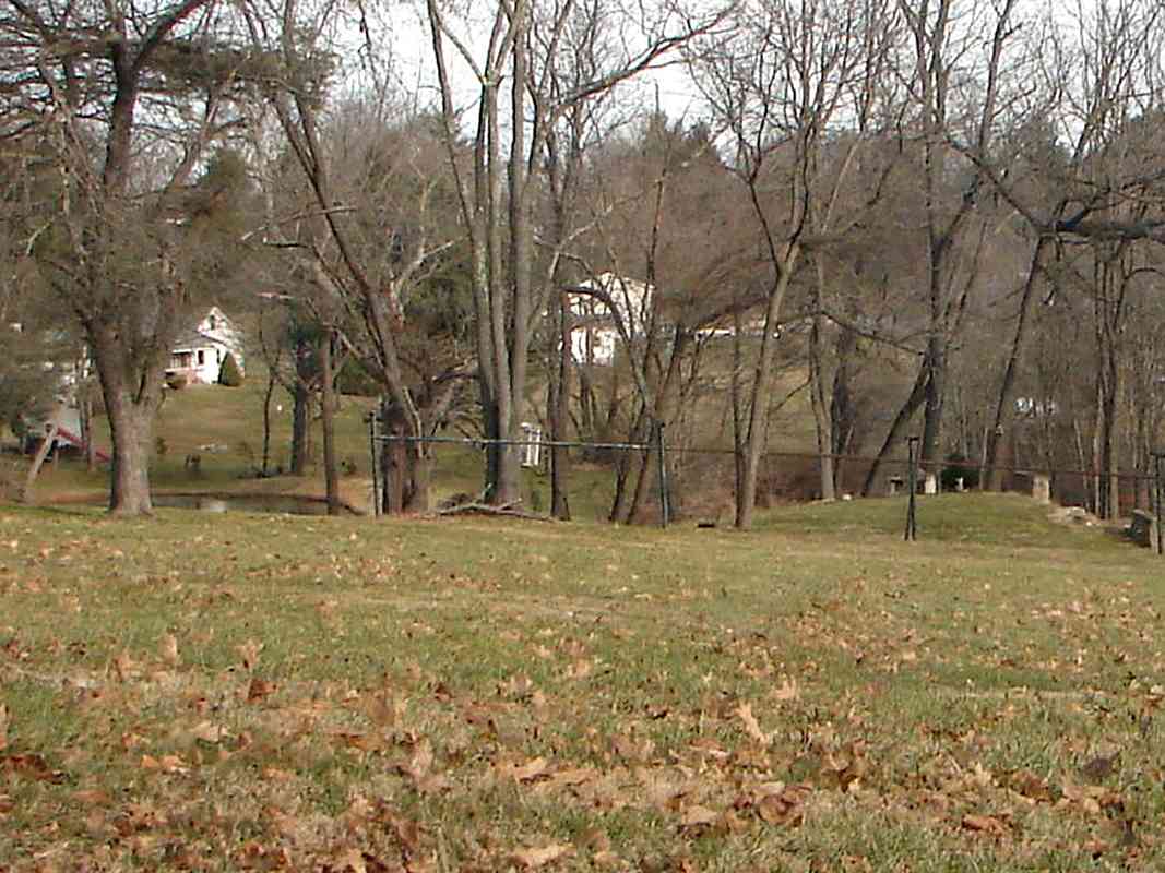
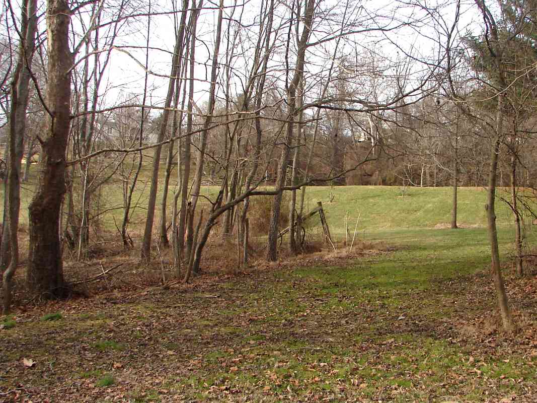
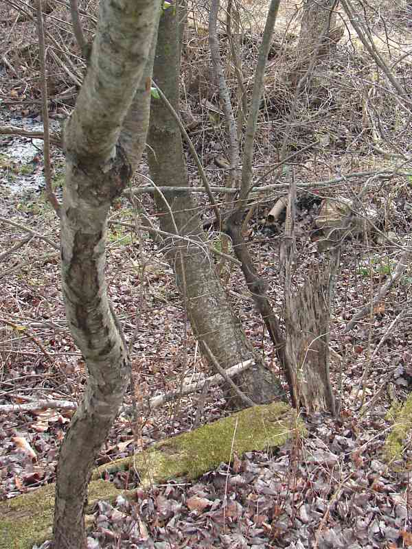
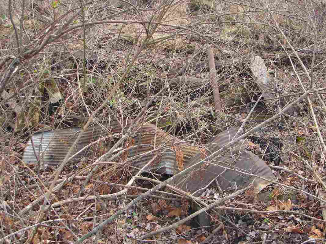
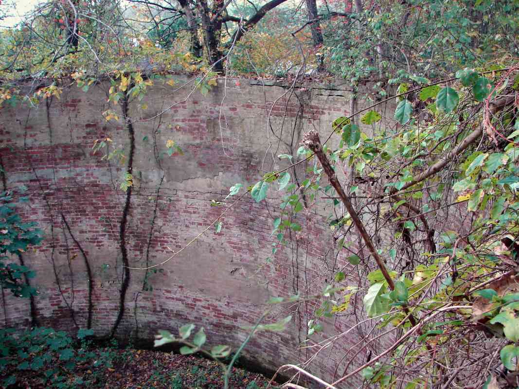
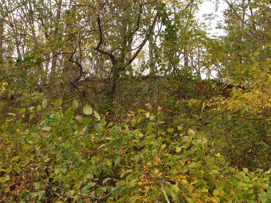
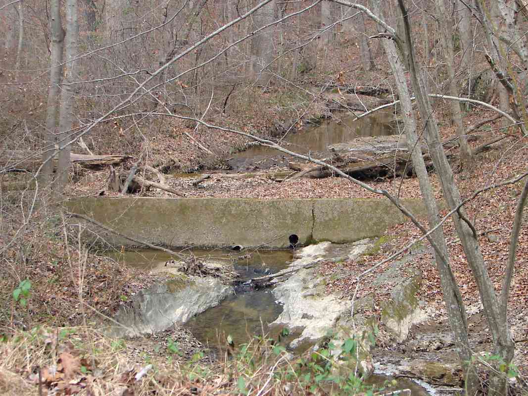
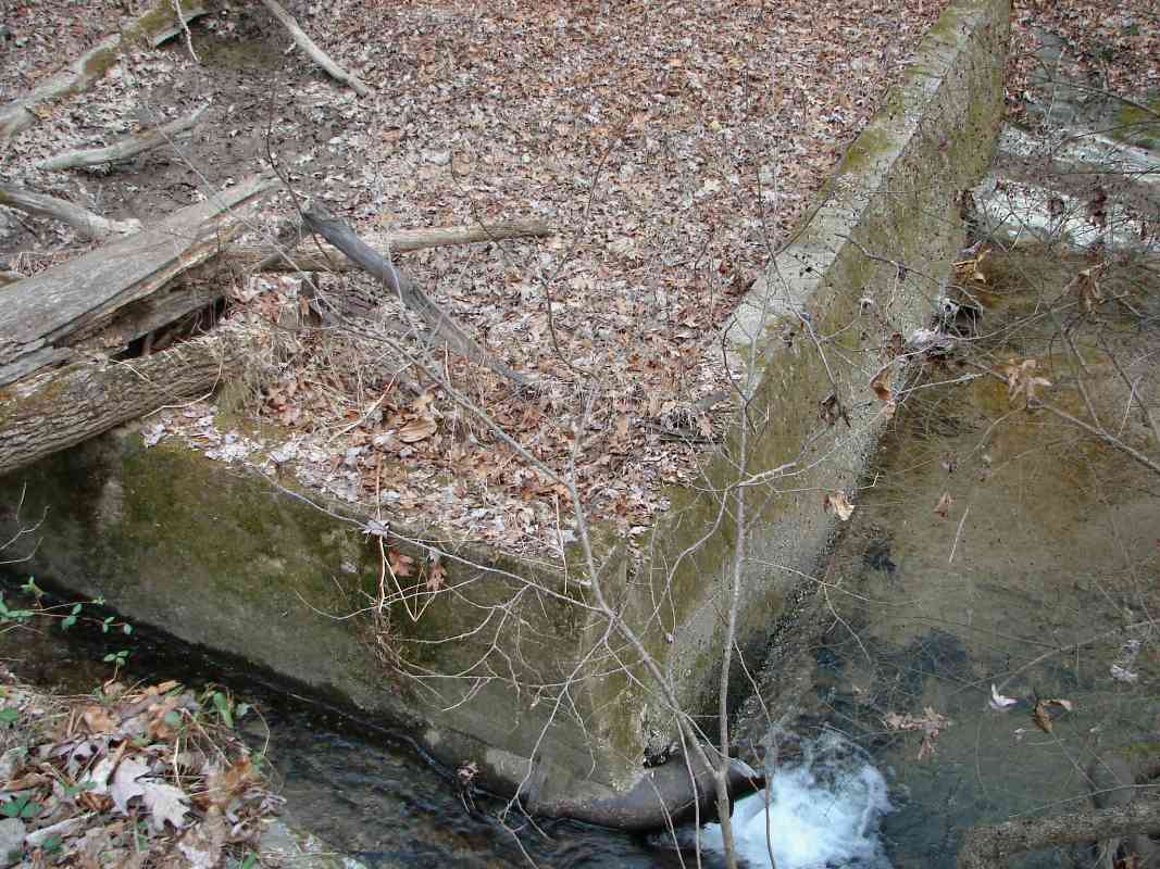
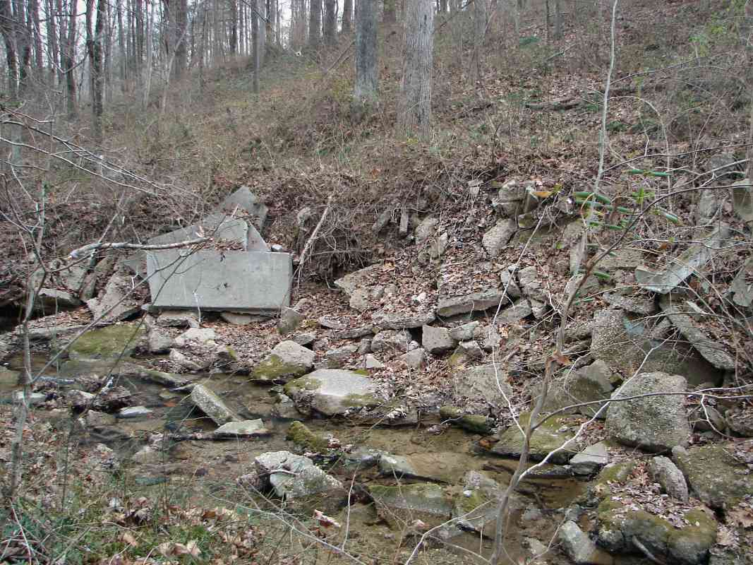
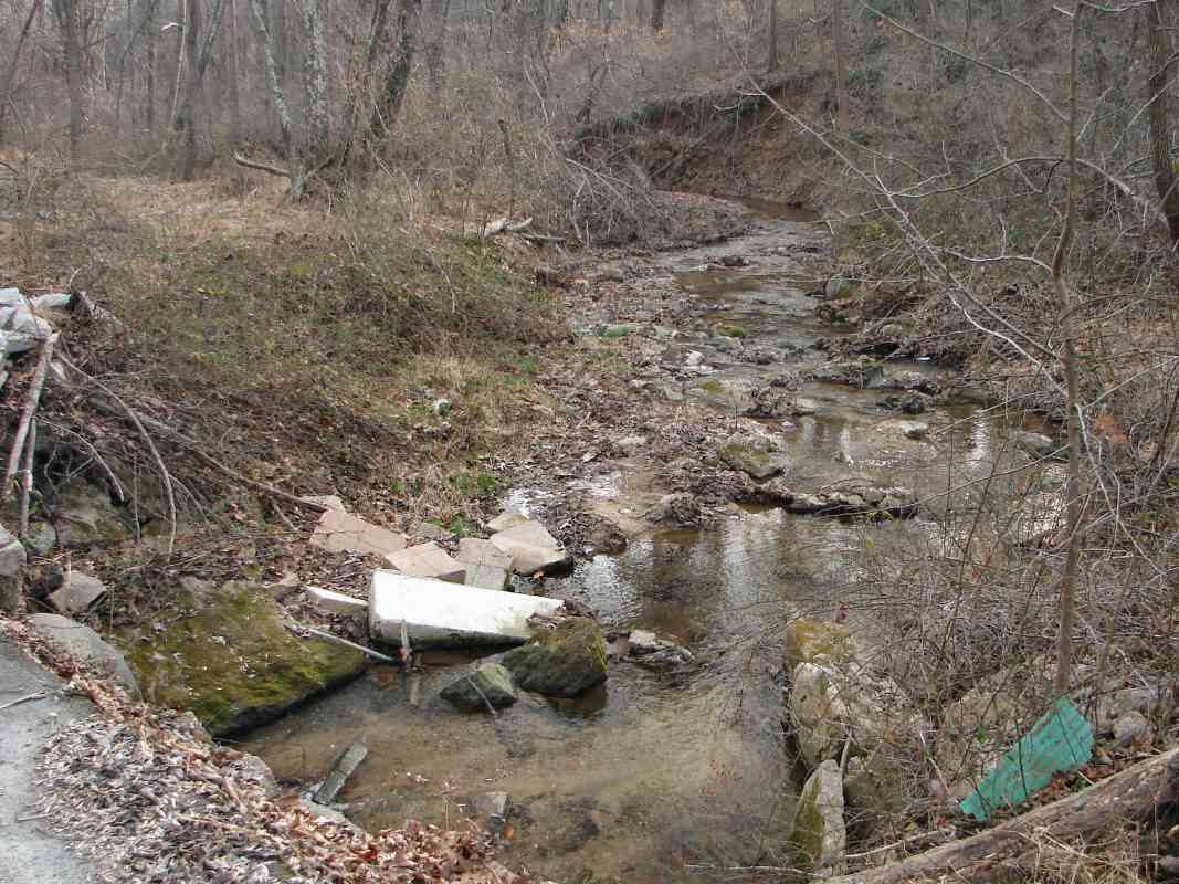
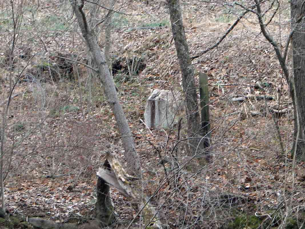
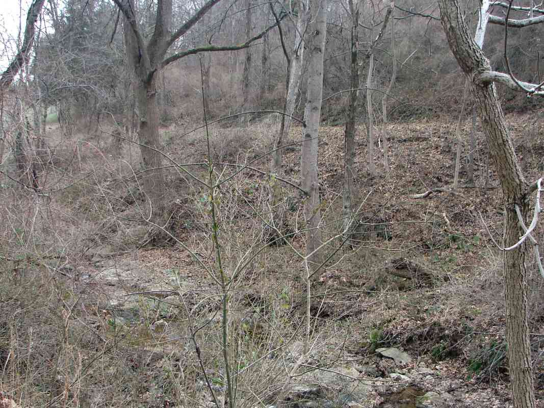
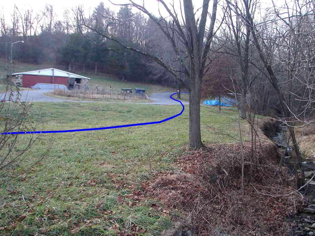
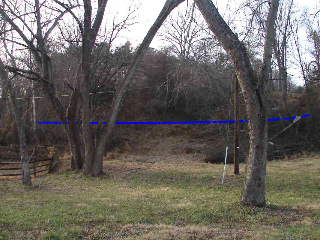
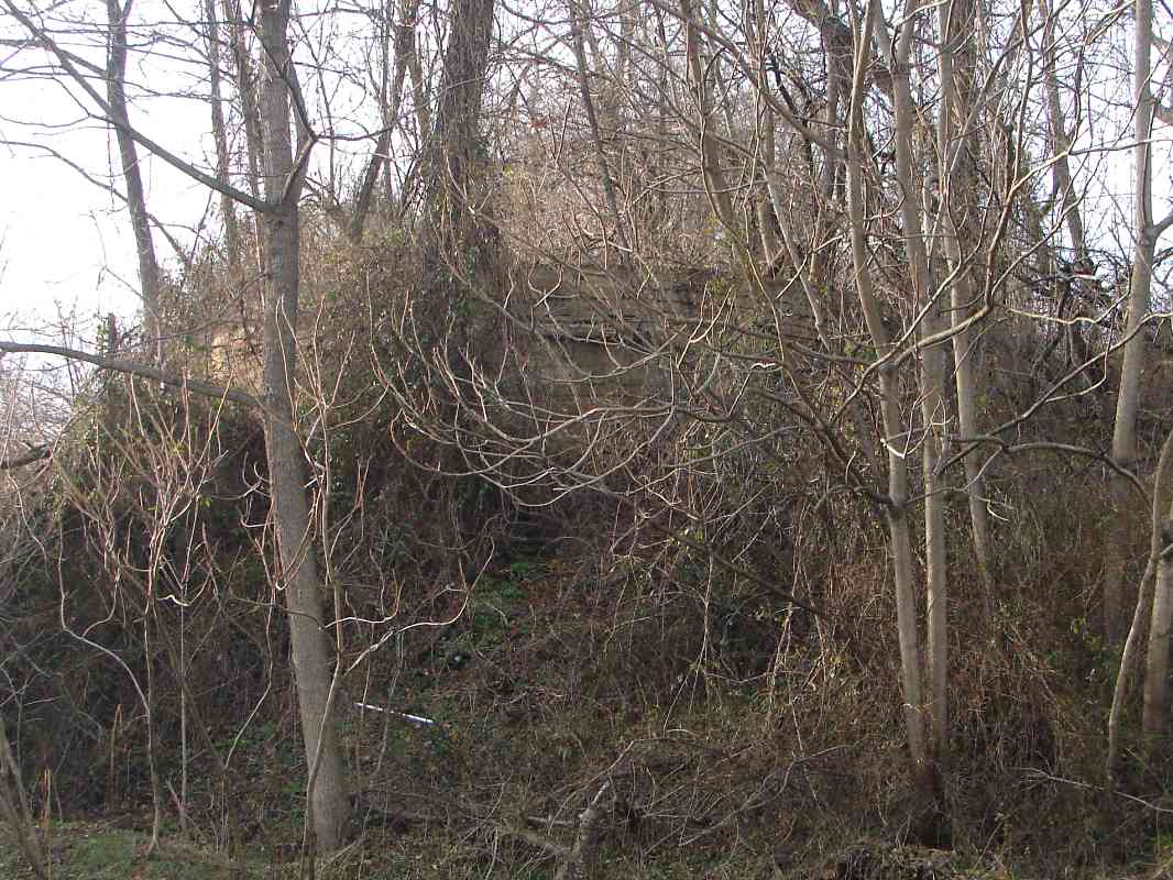
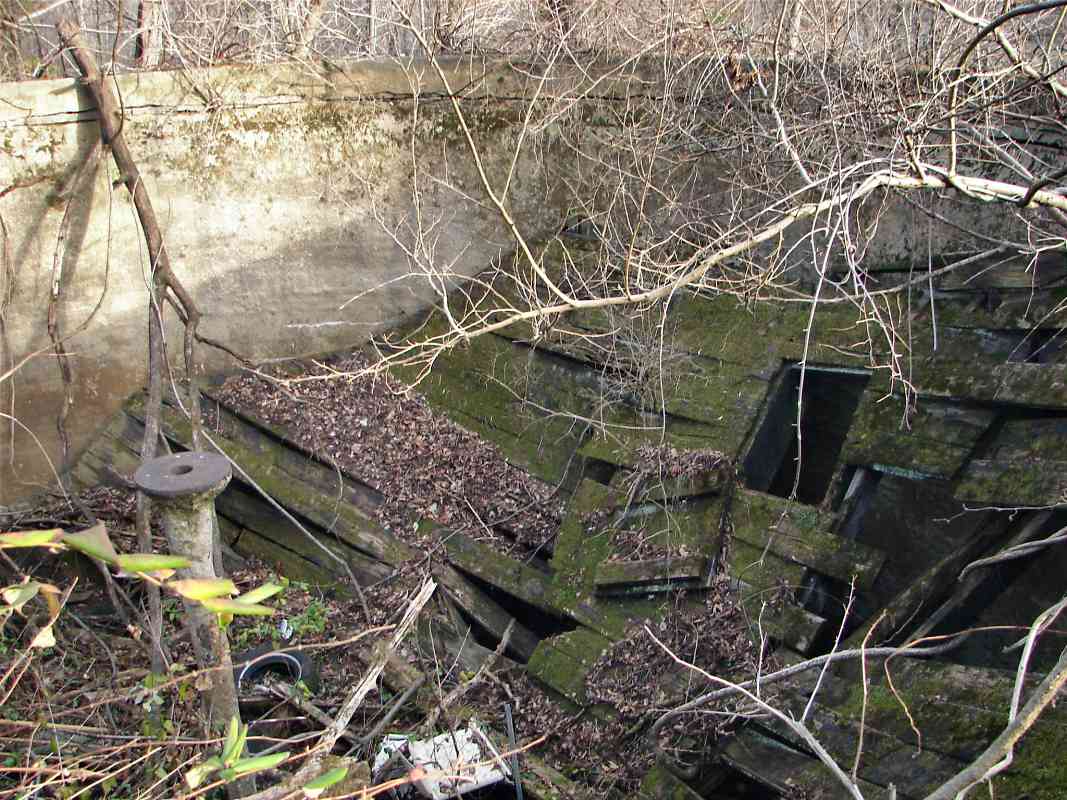
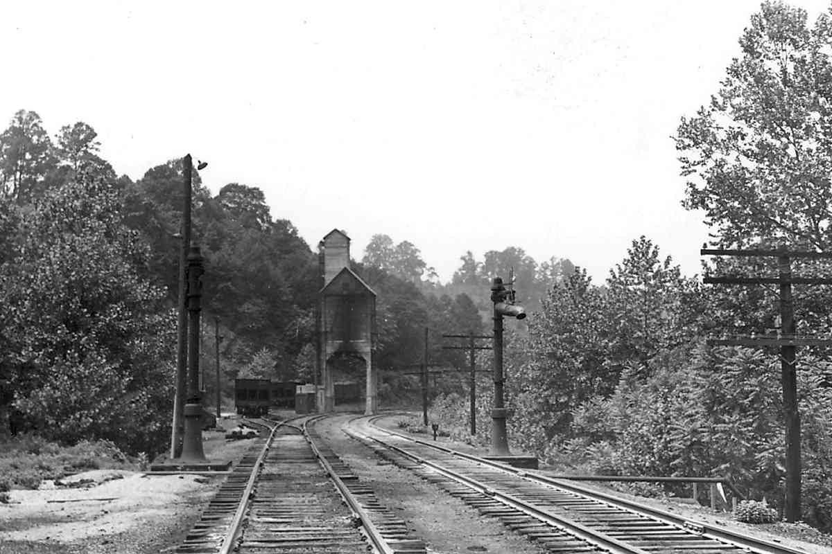
The penstocks at Gaither are long gone, but the concrete foundation on which one had perched is still present. The west tank is adjacent on the east side of what had previously been Gaither's general store, the white house at left.

Gaither's penstocks are visible in the nearly identical view from 1948 on page 280 of the Impossible Challenge II book.

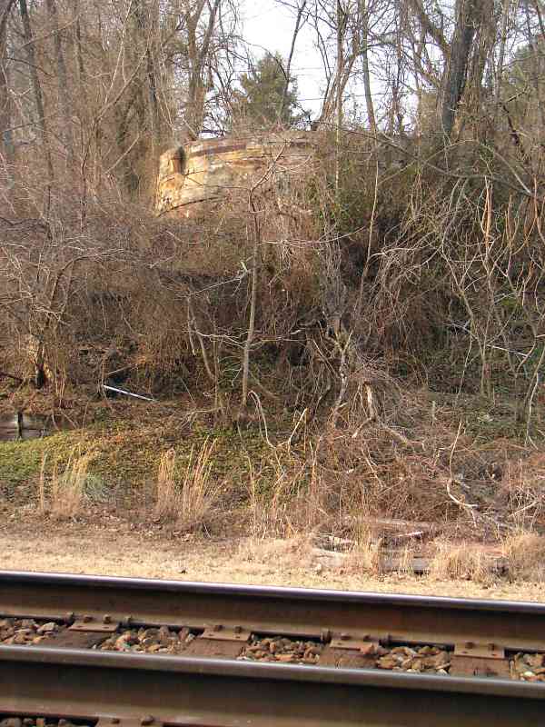
B&O offered water at the following OML locations in 1917: Relay, Lees, Grays, Marriottsville, Gaither, Mount Airy Junction, Reel's Mill, Frederick Junction, and Point of Rocks. In addition to Gaither, tanks survive at Lees, Gray, and Mount Airy Junction, and perhaps elsewhere but I have not (yet) explored them all.


Thanks for viewing this bit of railroad infrastructure history.

Resume the Old Main Line tour west of Gaither.

Or, return to main page


Copyright Notice