


Click a photo to see a larger view. Please send your comments and corrections to Steve.
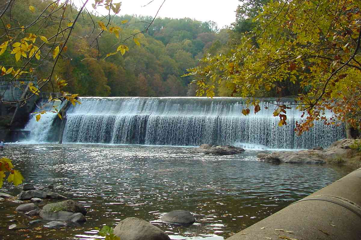
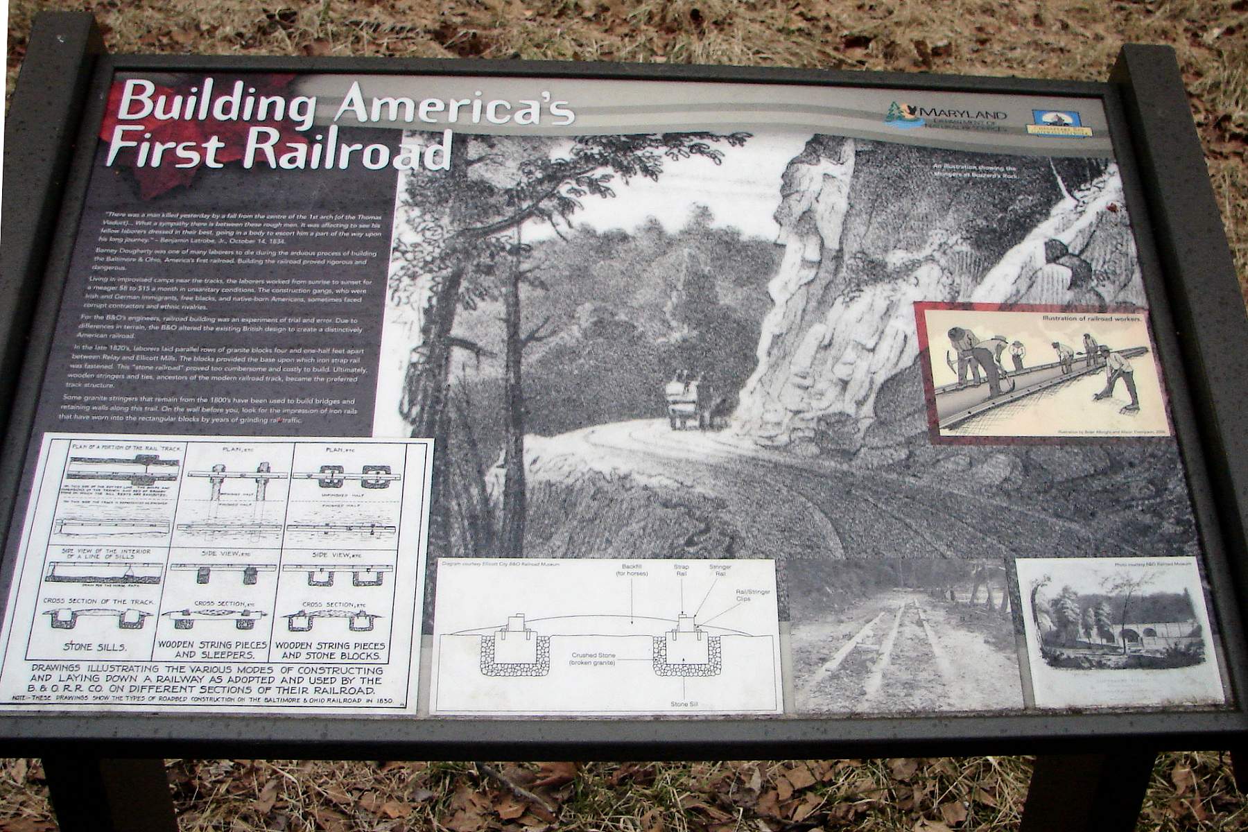
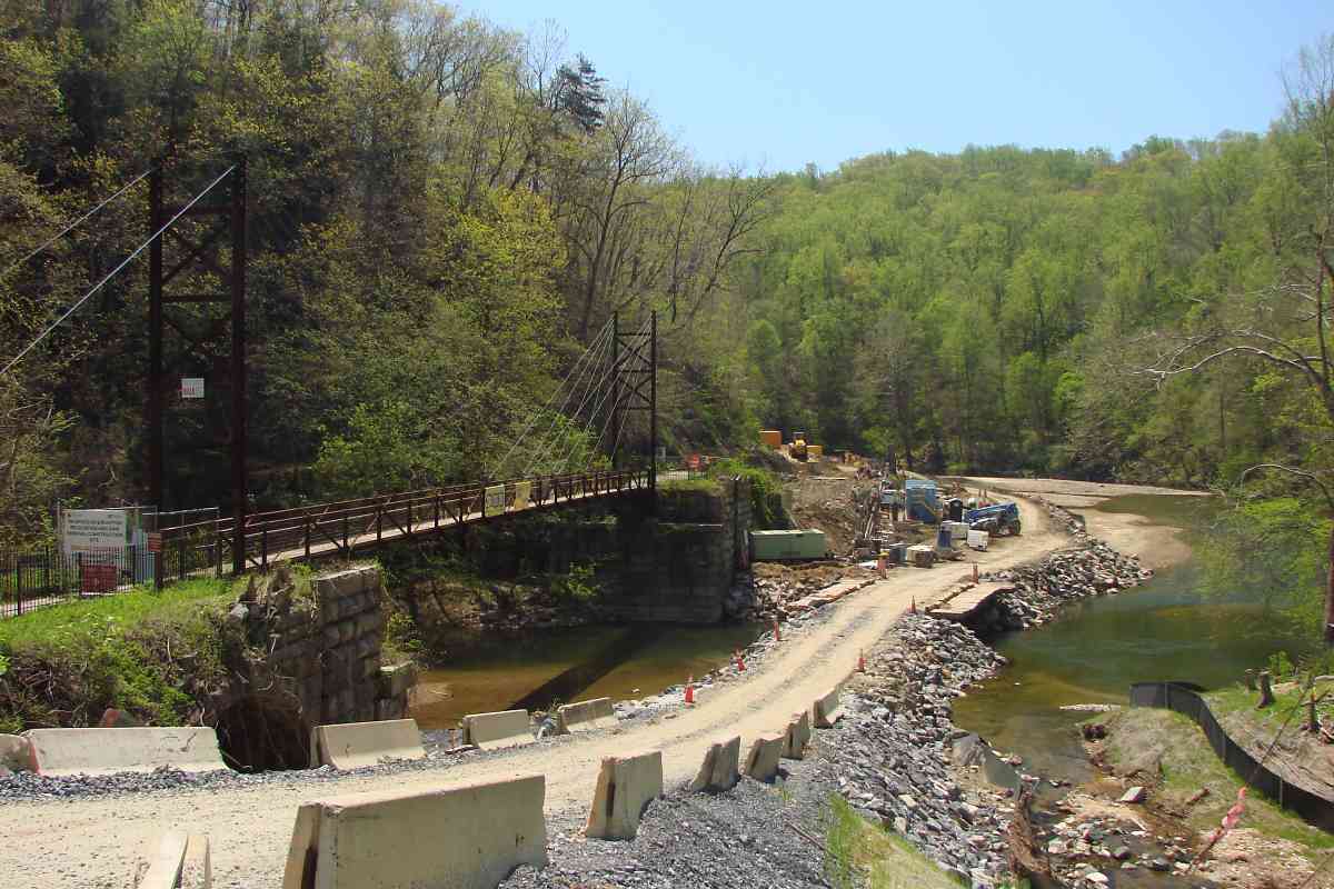
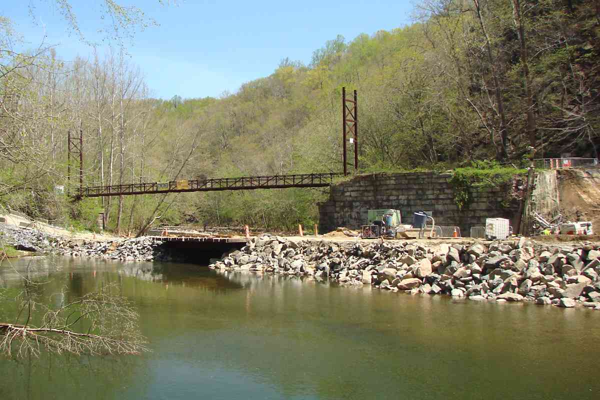
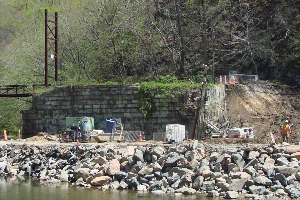
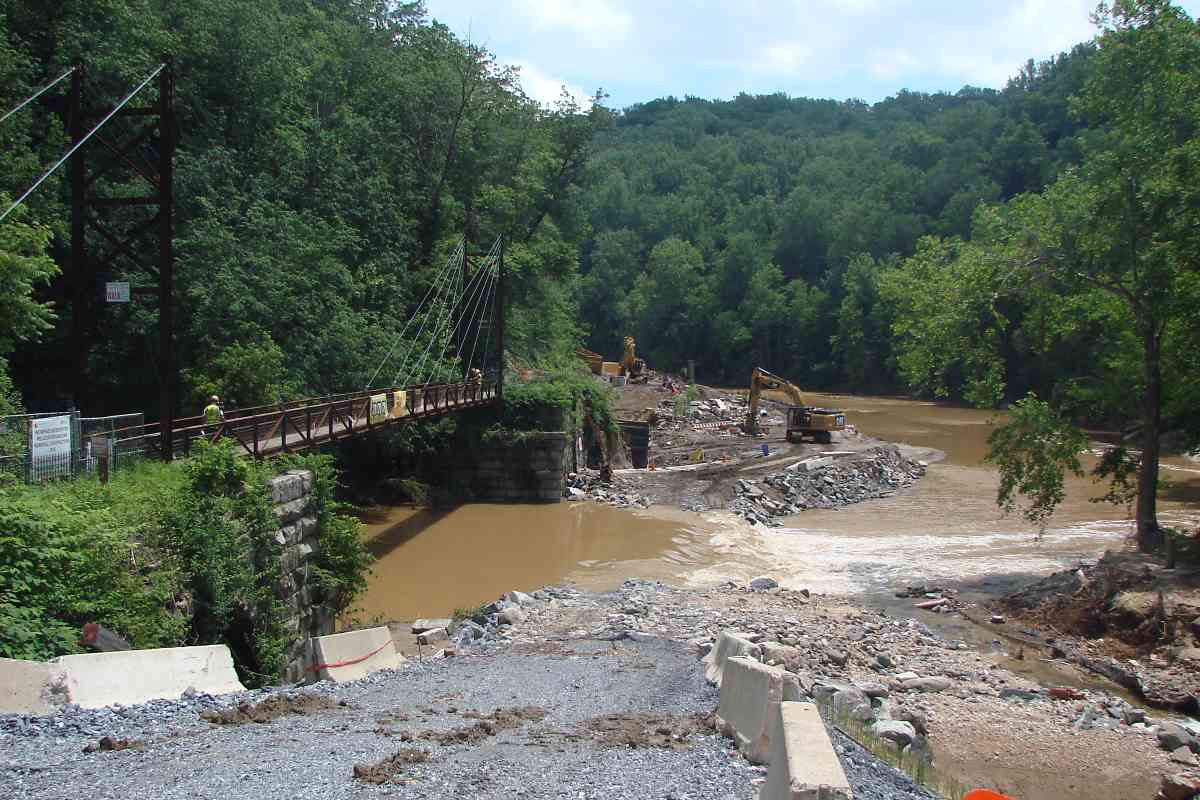
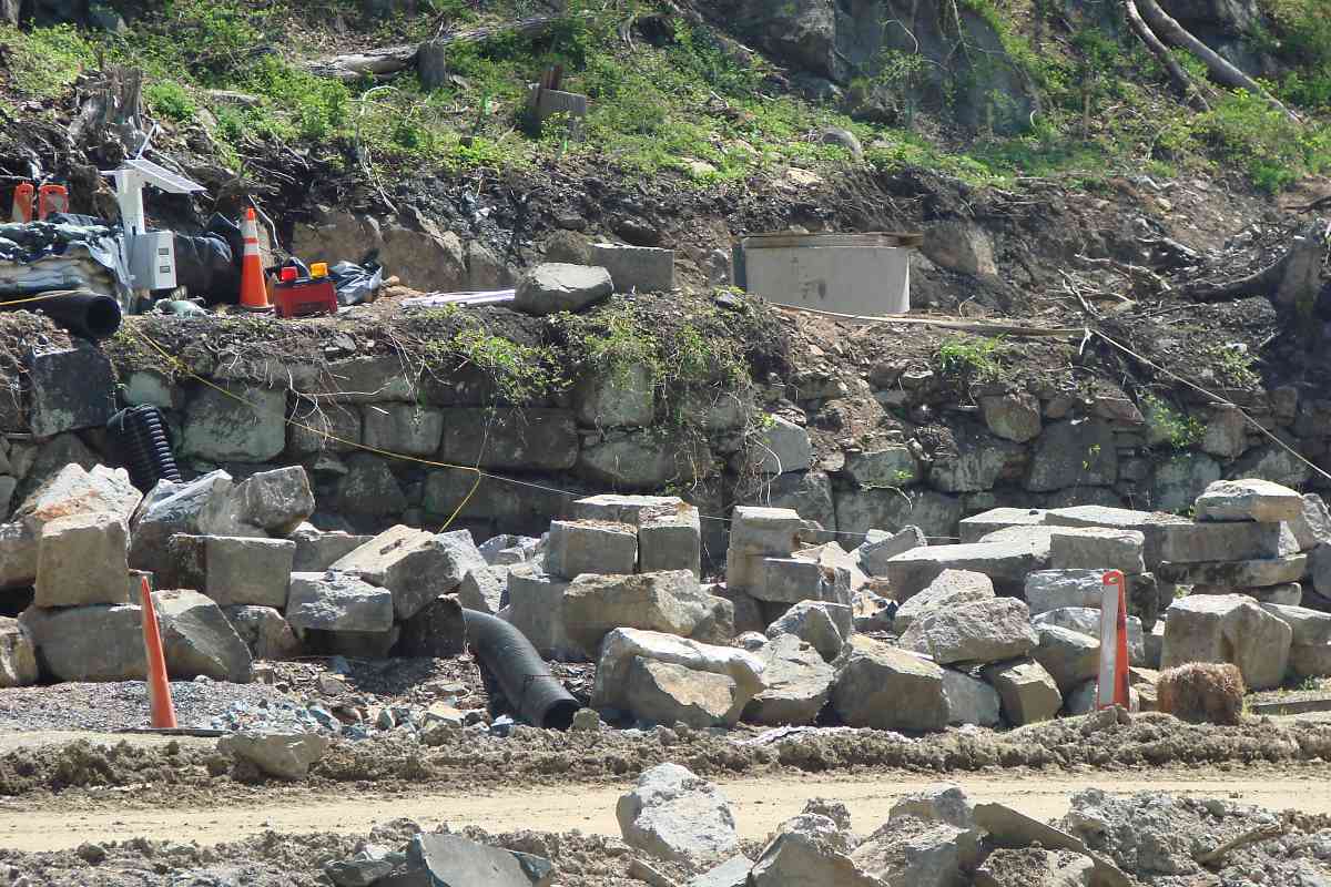
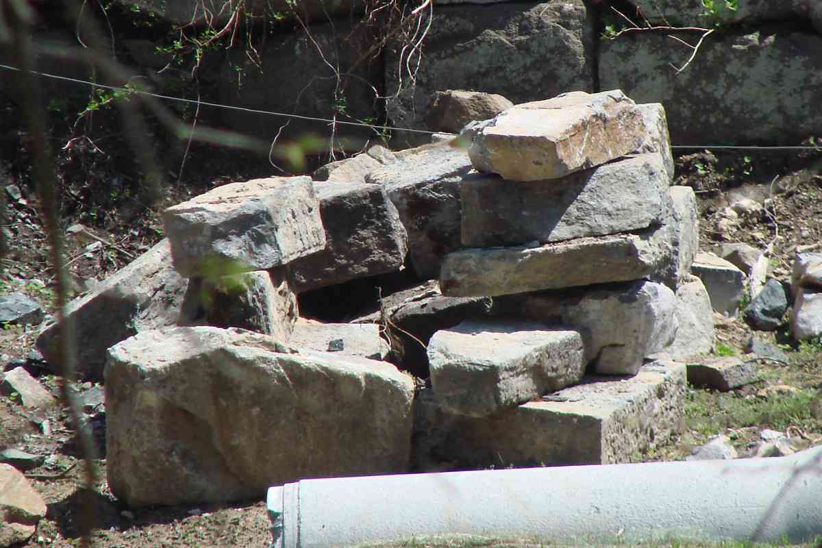
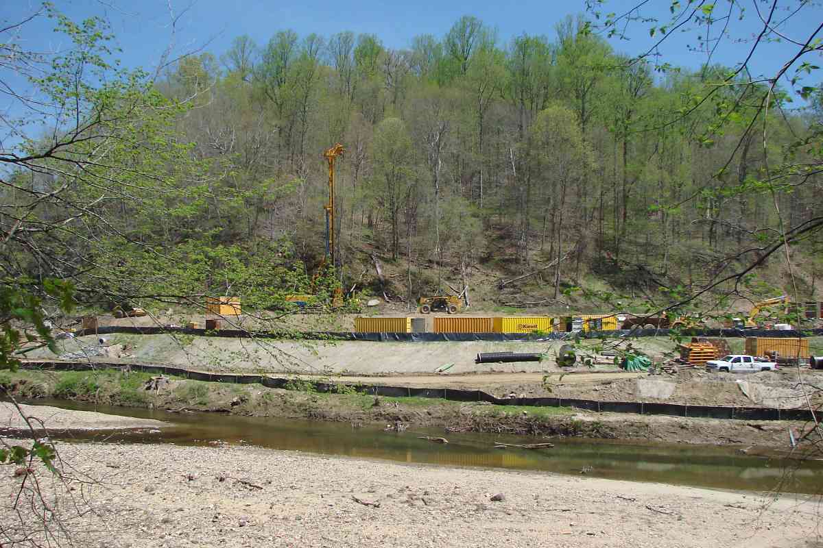
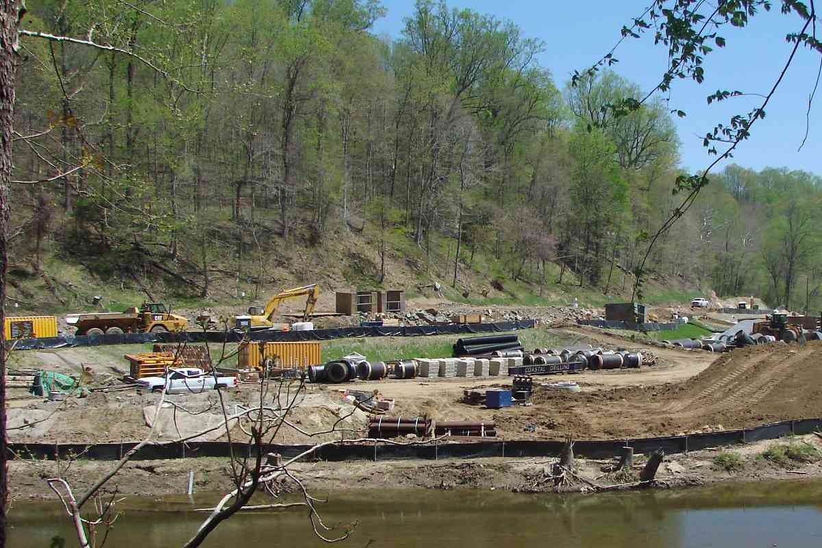
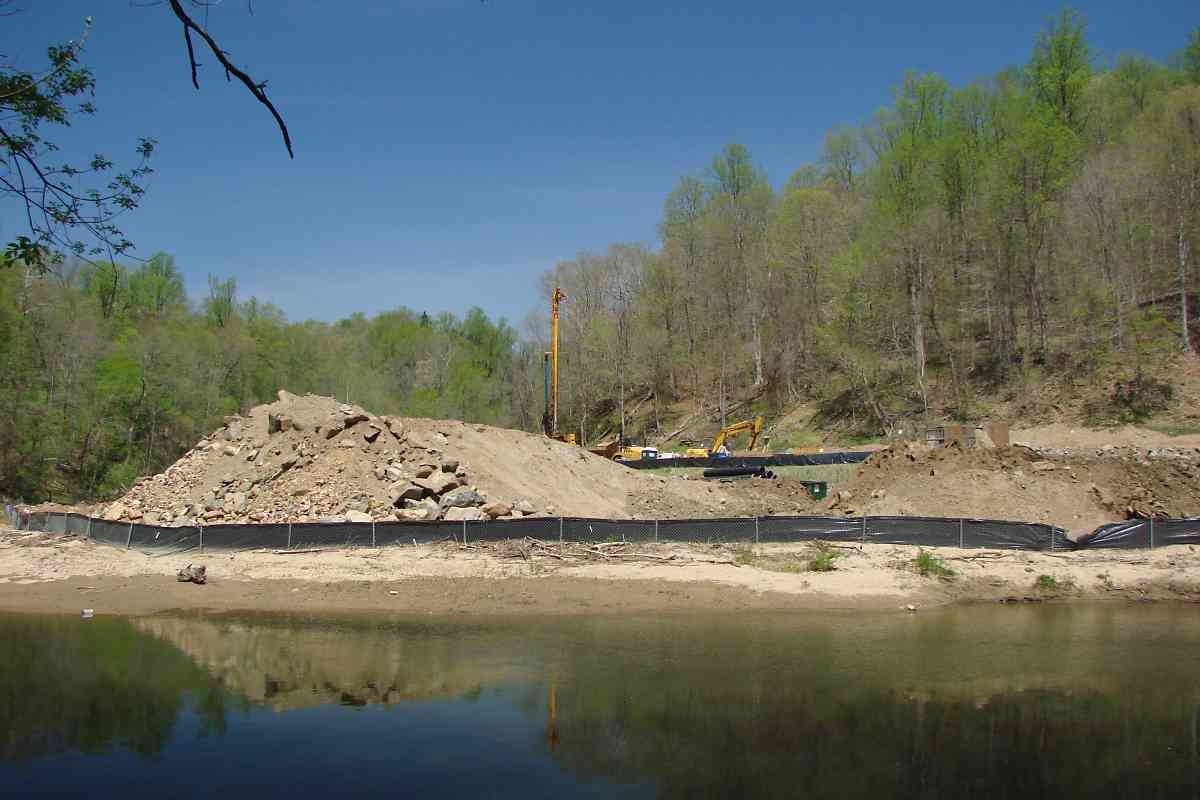
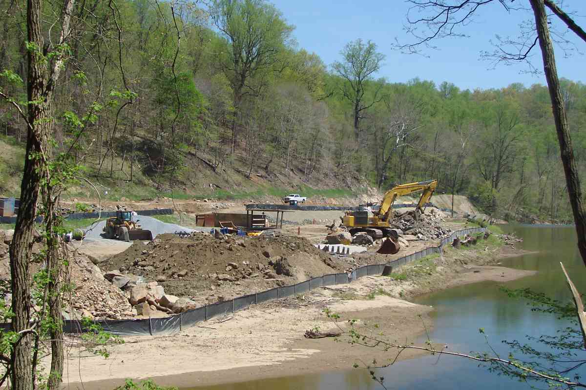
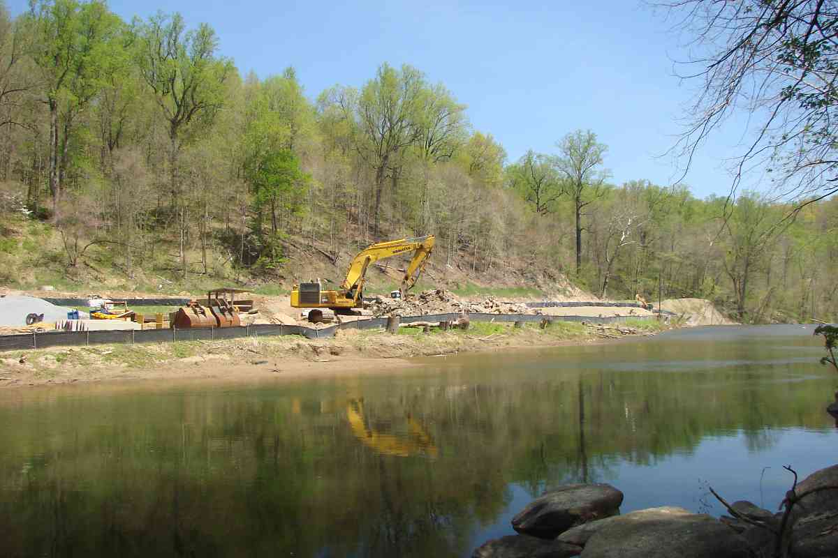
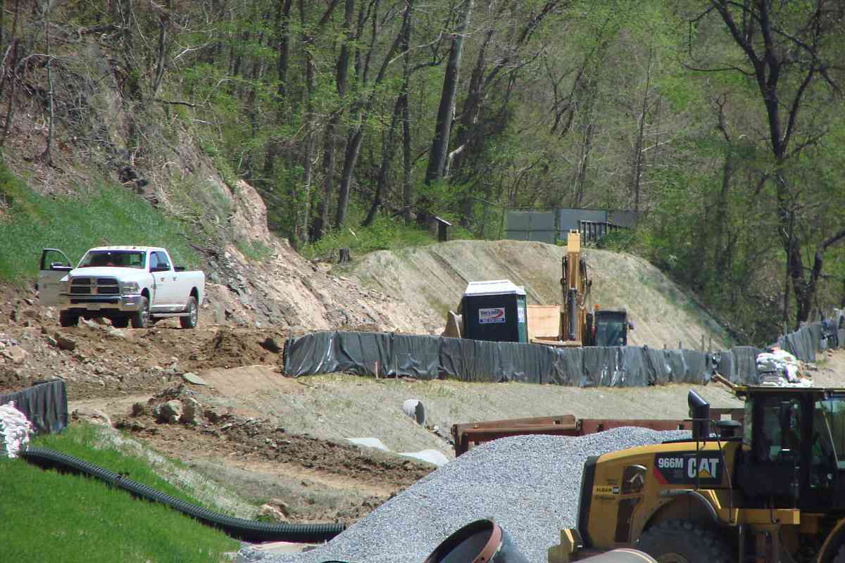
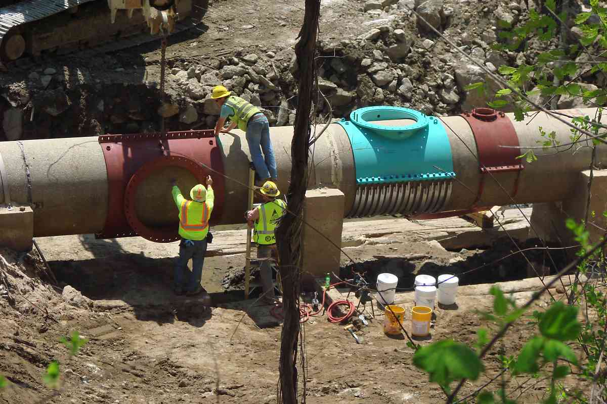
The removal of the Patapsco River's Bloede Dam downstream of Ilchester, Maryland had long been planned. The photos below capture the process while an adjacent sewer line was relocated on the Baltimore County side of the river. A one-quarter-mile stretch of the B&O's historic early railroad engineering work in two forms of 19th century stone track has been destroyed by these efforts and lost. The opportunity to generate eco-friendly hydroelectric power has been lost.
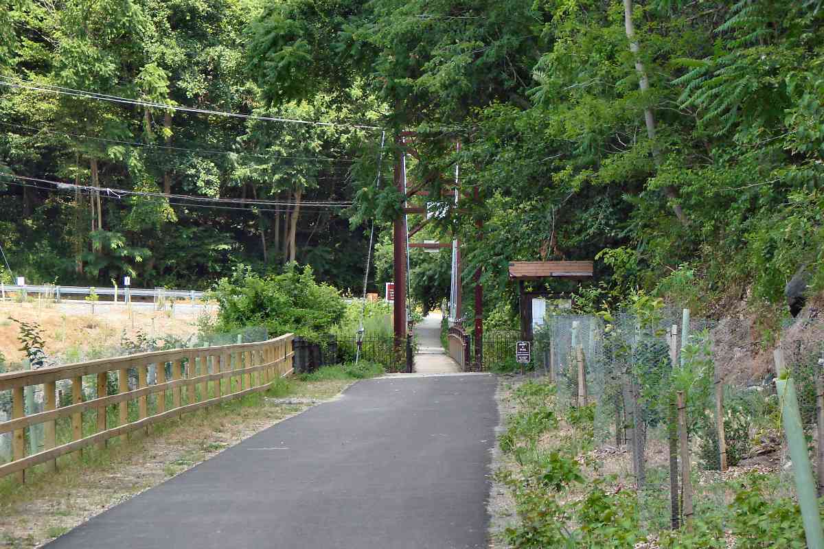
Paving the way for this project was the building of the Grist Mill Trail atop the B&O's original Old Main Line alignment. In legal action, owner CSX ceded the disused B&O route to the state of Maryland ostensibly for the trail. Once the state owned the route it soon began the process of relocating the sewer line there. The Grist Mill Trail was reopened during 2019.
Many readers emailed seeking info and photos of the project.
Pre-demolition (aerial photo courtesy Maryland DNR)
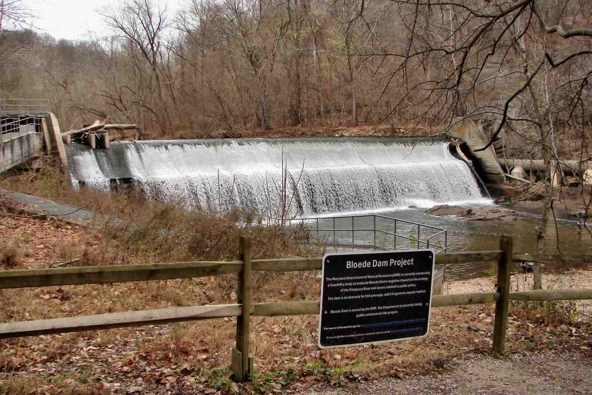

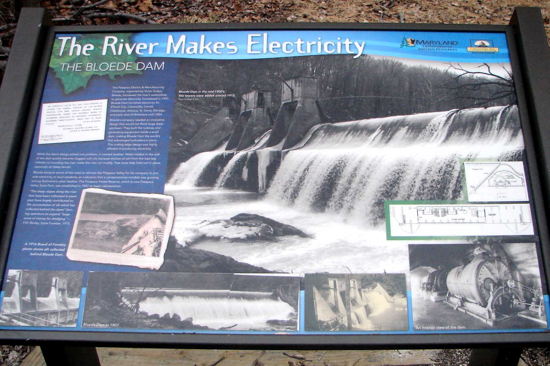

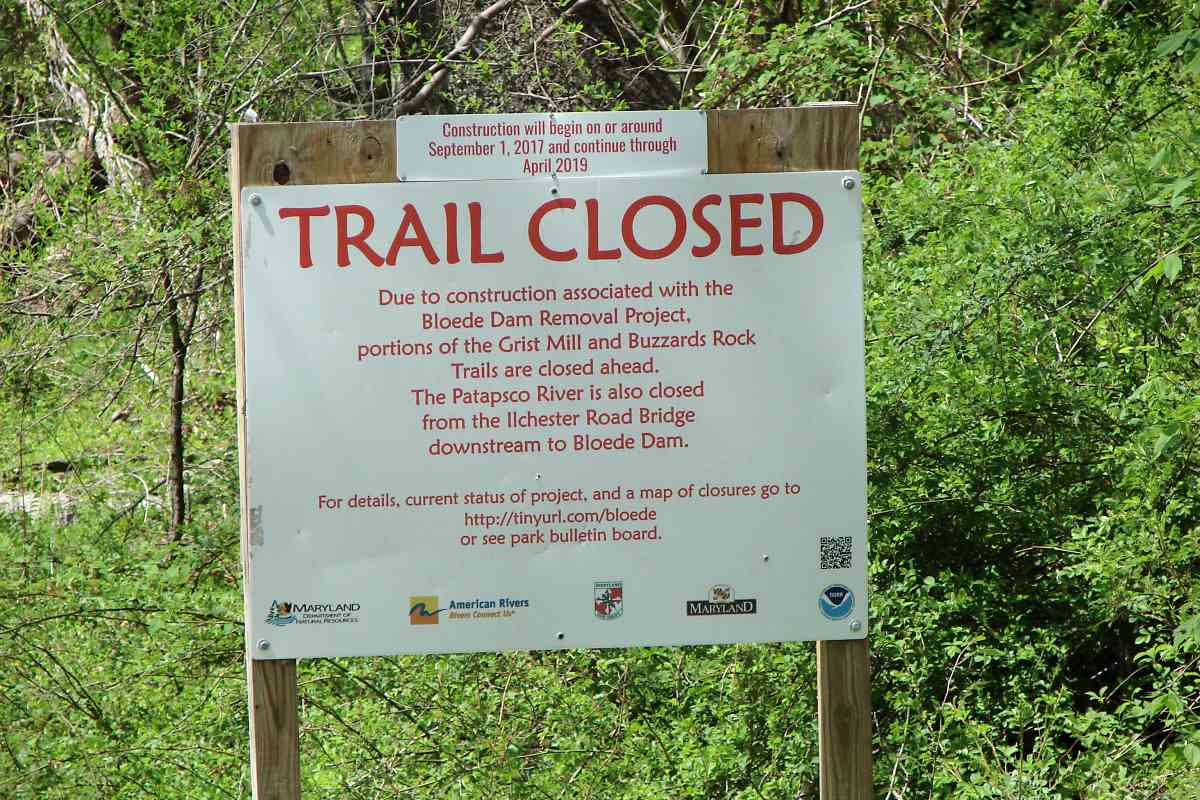
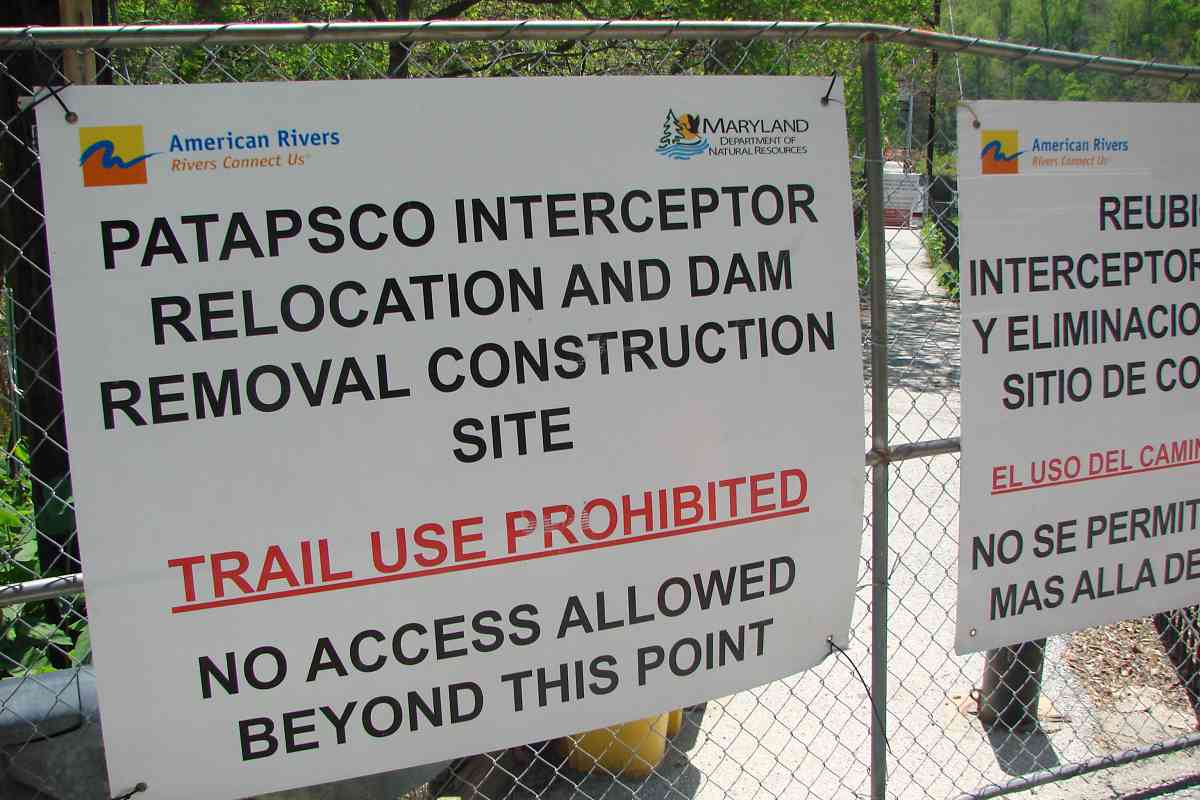
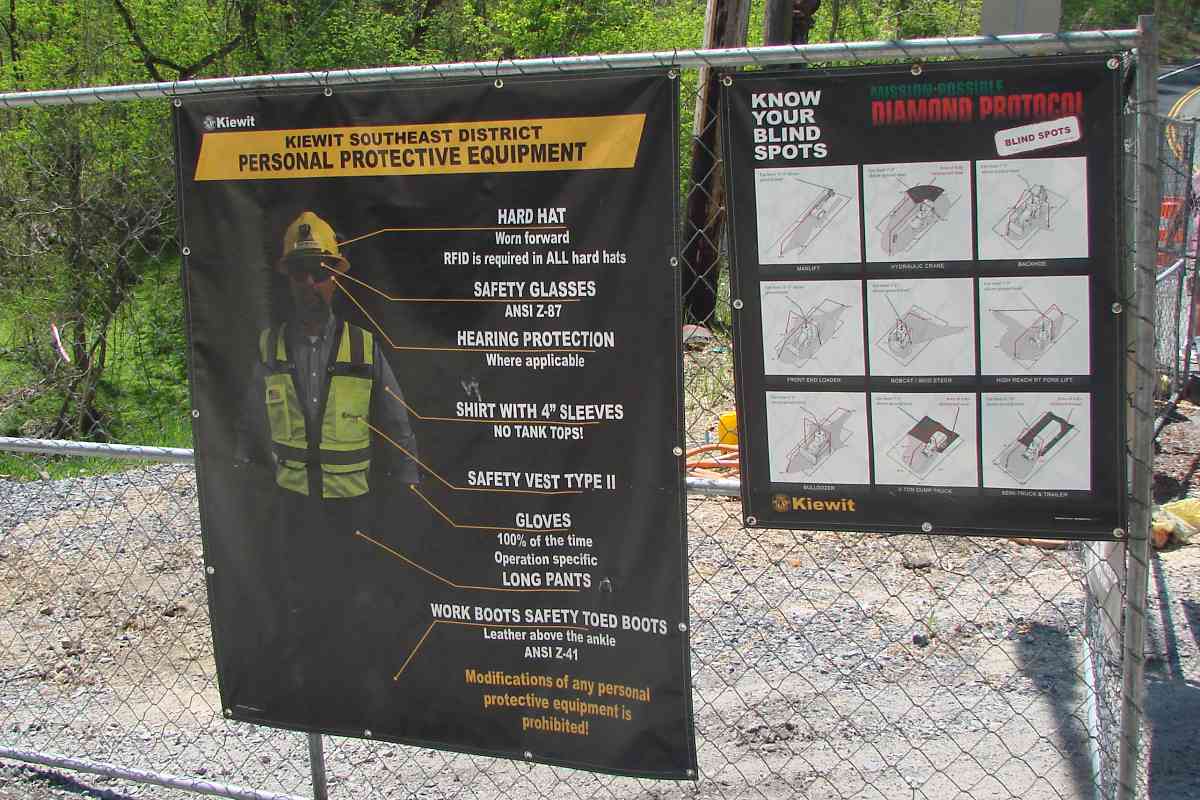
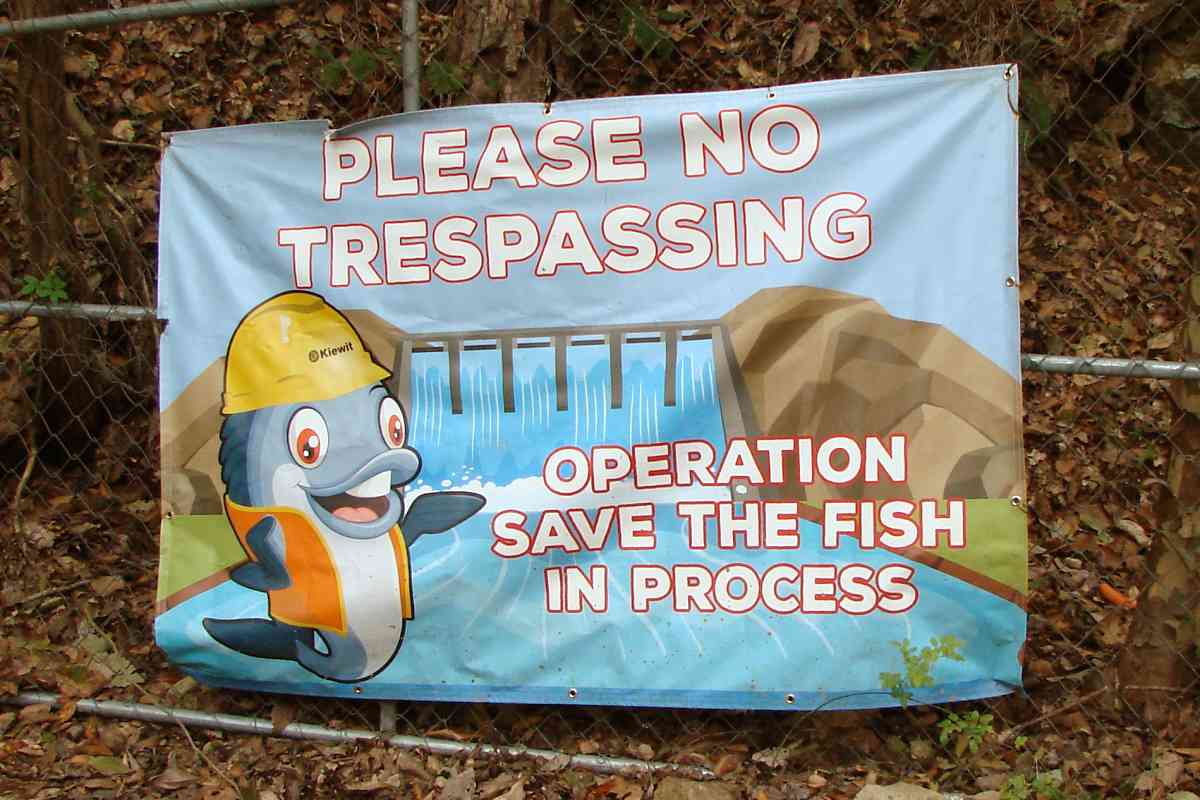
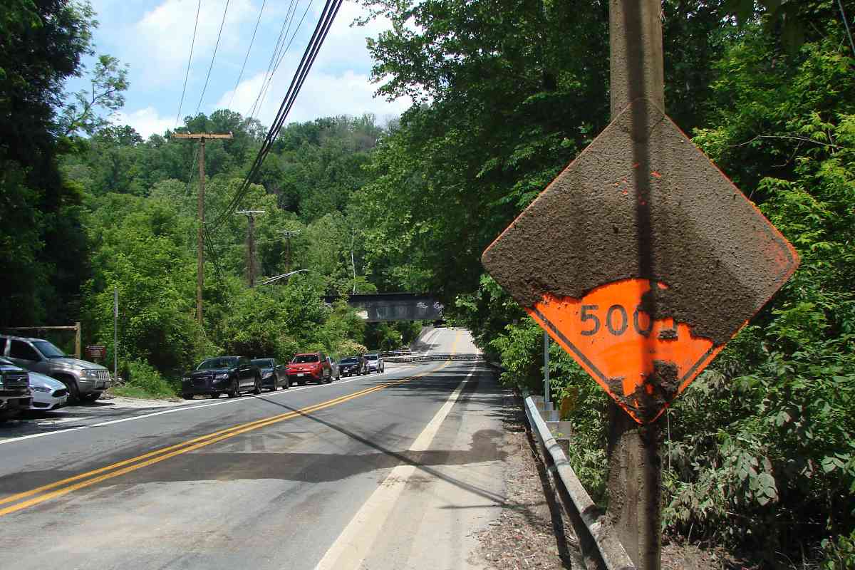
Signage
Patterson Viaduct (upstream limit of work) May 2018


Cleanup of May 27, 2018 flood of Ellicott City and Patapsco River basin
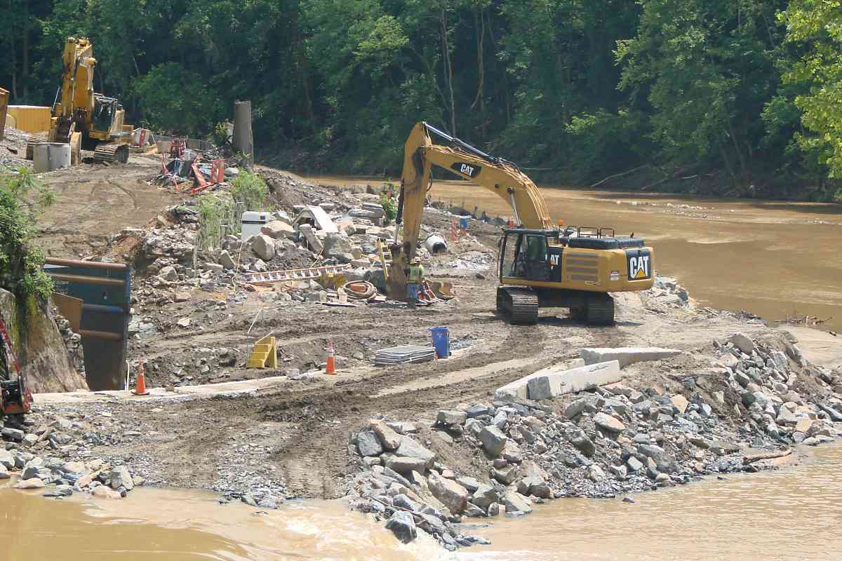

Various stones, some B&O stringers, some circa 1830 track blocks, May 2018


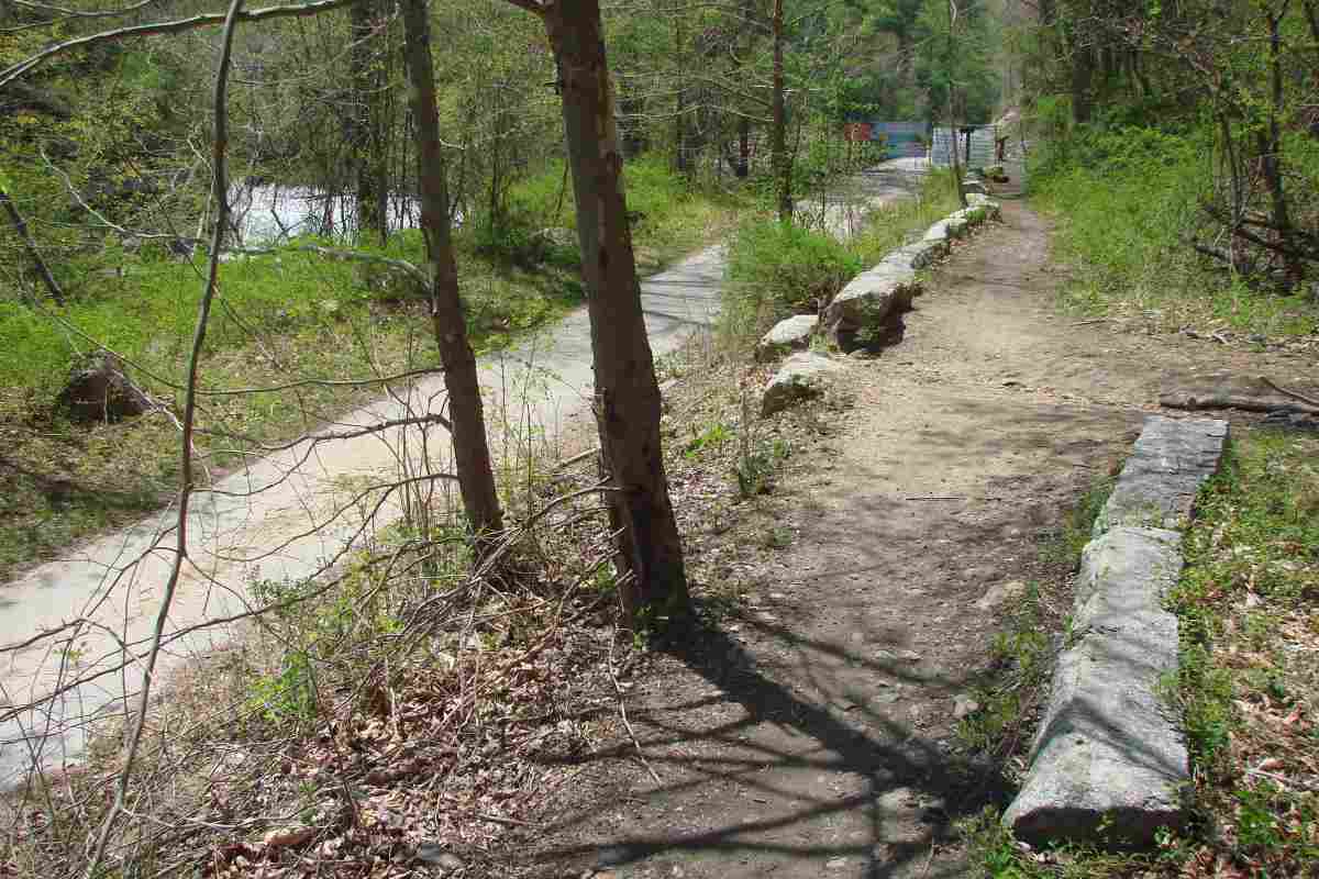
Then (2008) / Now (2018), excavations are deeper than original B&O track and Grist Mill Trail
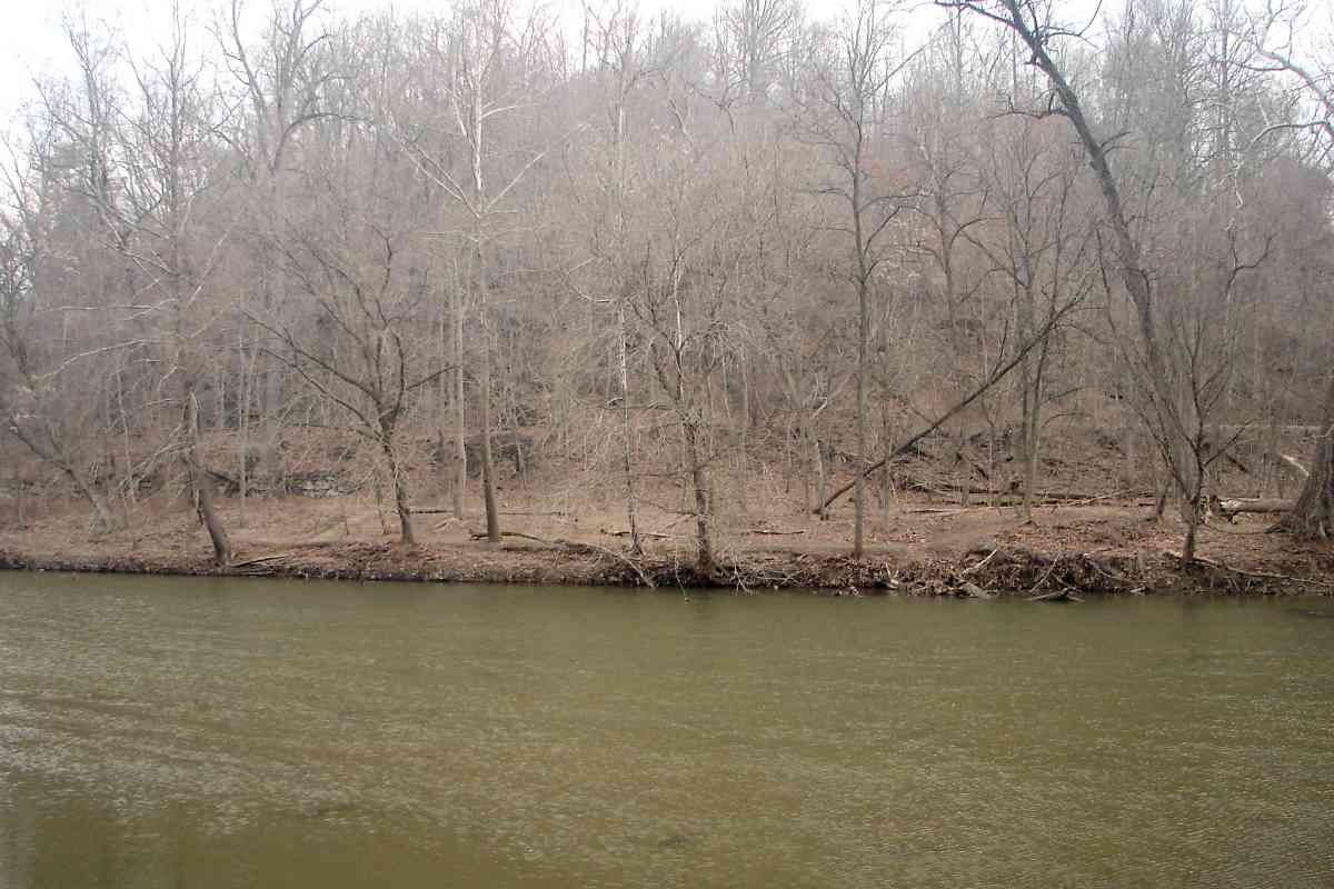
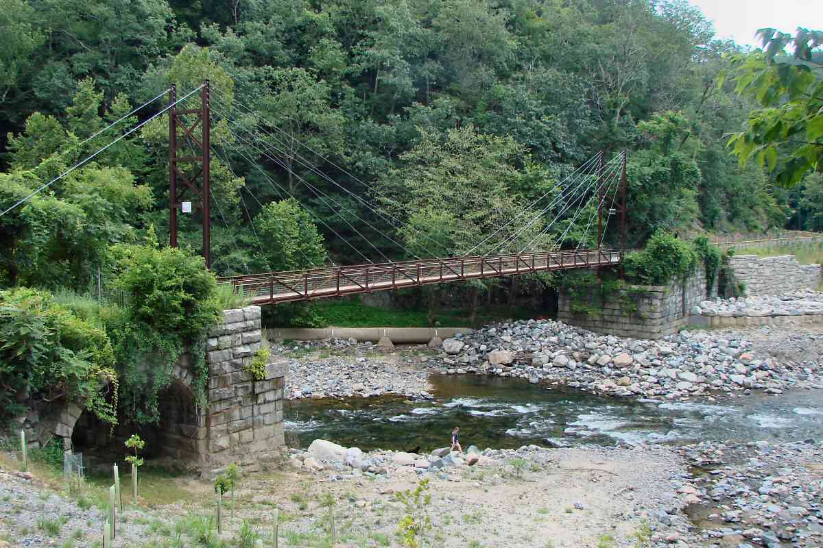
Nearing dam from upstream, dam not yet removed, May 2018

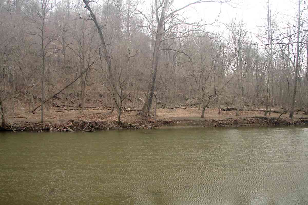
Downstream of dam, looking upstream, May 2018


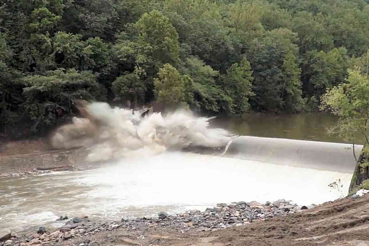
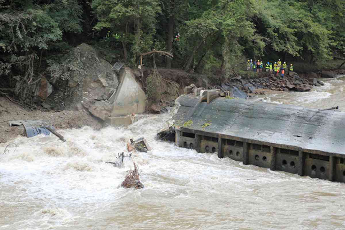
Dam demolition began September 11, 2018 (photos courtesy NOAA)
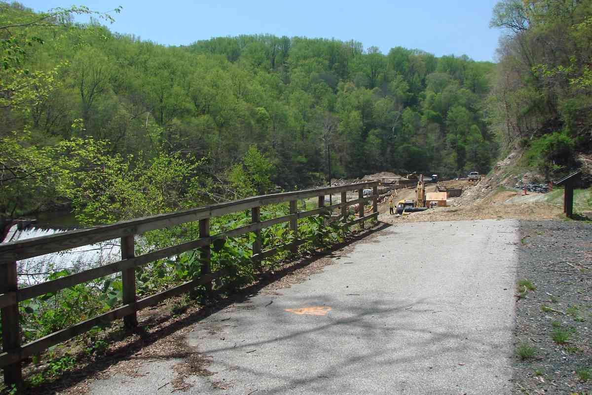
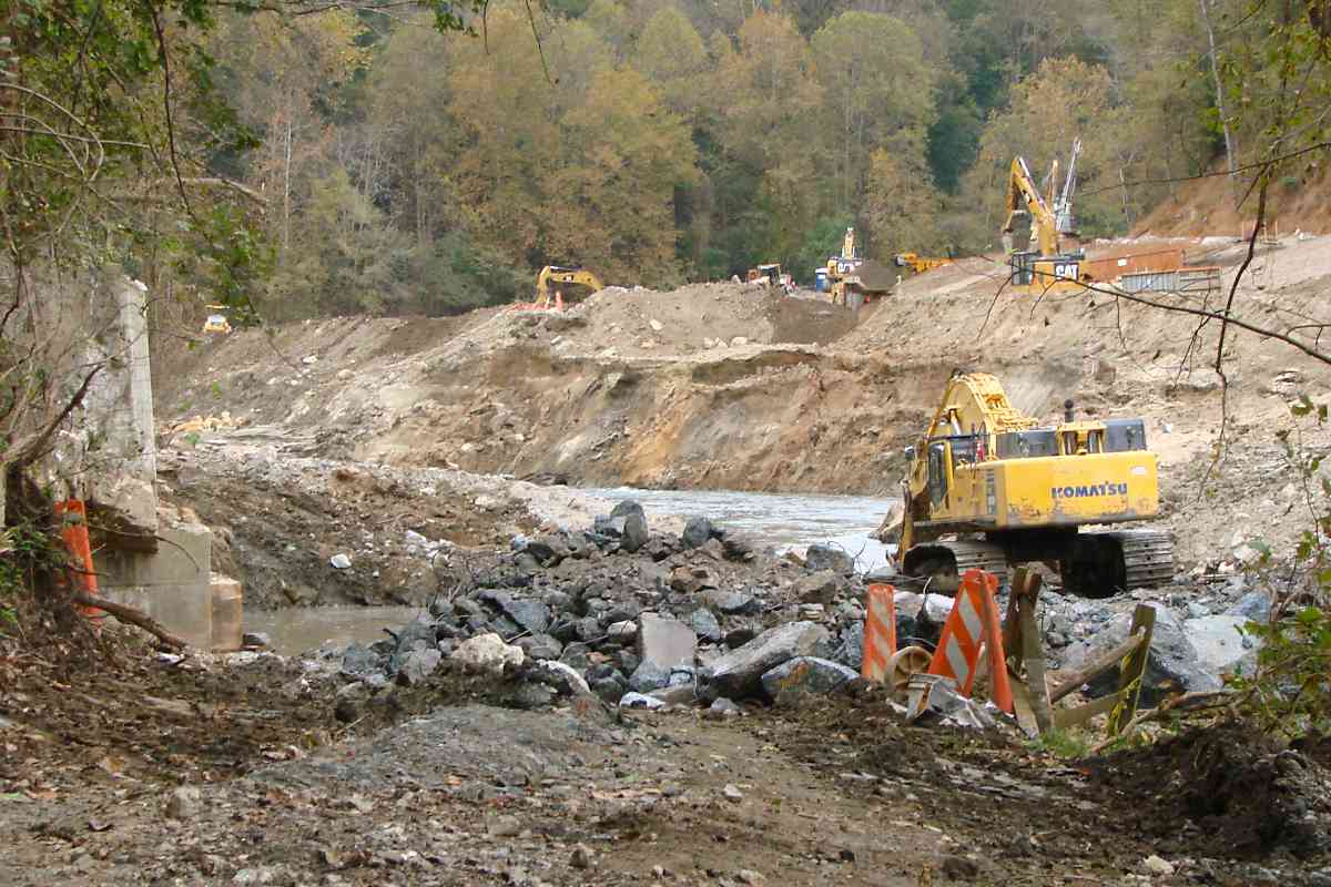
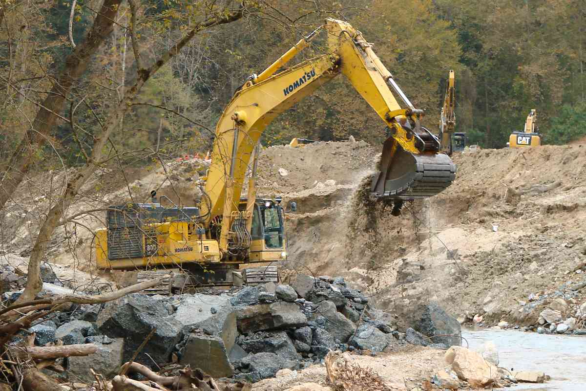
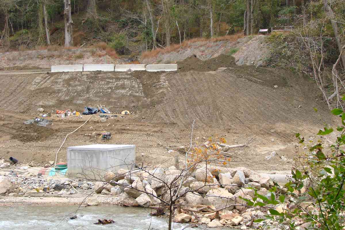
Demolition completed October 25, 2018, cleanup begins as seen from Howard County side


Trail reopened, photos from July 2019


<< Previous (east) | THIS PAGE: Bloede Dam Removal | Next (west) >>
For other tours here now, select from the map:

Or, return to main page
Copyright Notice


