TrainWeb.org Facebook Page
B&O Metropolitan Branch Photo Tour


B&O Metropolitan Branch
Modern day photo tour

Accompanying each photo below are:

Click a photo to see a larger view. Please send your comments and corrections to Steve.


<< Previous (east) | THIS PAGE: Sellman to Dickerson | Next (west) >>

Arched Culvert
Photo courtesy Dave Hiteshew

Arched Culvert
Mile: 31.3 Date: Sep 2008
Ease: B View: SW
Area: A IC2:
Map: Mo 8 C 11 Topographic Maps

This is one of several arched culverts found only along the first-built section of Met track, the portion that dates to the 1860s.


Interior
Photo courtesy Dave Hiteshew

Interior
Mile: 31.3 Date: Sep 2008
Ease: C View: S
Area: A IC2:
Map: Mo 8 C 11 Topographic Maps

As with other structures, an extension was added to the south side to support double track above. Even to this day, the south side track is referred to as Track 2.


Apple Orchard CPL
Updated early-Apr 2023

Apple Orchard CPL
Mile: 31.7 Date: Apr 2017
Ease: B View: NW
Area: A IC2:
Map: Mo 8 B 11 Topographic Maps

battery form ground rods wasps

The CPL signals B&O had named Apple Orchard may be gone, but their bases, boxes, and backup batteries remain.

Batteries have to be checked regularly, and logged; B&O-C&O Form N-163 from 1969 was still the one used during the 1990s. Some of the logging was informal, bee careful such as scribbles inside box doors: "Ground rods triangled and salted on 9-30-63". Ground rods arranged in a triangle protected equipment from lightning, and salt assisted conductivity. It appears resalting was performed at 10 year intervals.

Trust me, you don't want to be carelessly peeking in disused utility boxes since many have become homes for critters and insects. Don't come crying to me when bees and wasps make you their pincushion.


CSX 7691

CSX 7691
Mile: 32.0 Date: Apr 2017
Ease: B View: E
Area: A IC2:
Map: Mo 8 A 10 Topographic Maps

CSX 7691 looks too clean to be on Dickerson trash duty. CSX 289 follows.


CSX 221

CSX 221
Mile: 32.1 Date: Apr 2017
Ease: B View: W
Area: A IC2:
Map: Mo 8 A 10 Topographic Maps

Once double stacks are commonplace, someone will insist on triple stacks.


Box
Photo courtesy Dave Hiteshew

Box
Mile: 32.1 Date: Aug 2008
Ease: B View: W
Area: A IC2:
Map: Mo 8 A 10 Topographic Maps

As you may have noticed, Germantown marked the last spot of significant suburban DC development, and that means fewer interesting railroad elements to highlight per tour mile, and more stretches of nothing but gently curving rails. We're reduced to noting things like this concrete post. Concrete posts of this design are common, but ones with boxes still attached are not.


Beallsville Road
Photo courtesy Dave Hiteshew

Beallsville Road
Mile: 33.3 Date: Jul 2008
Ease: B+ View: W
Area: A IC2:
Map: Mo 7 H 9 Topographic Maps

Atypical stone abutments support the bridge over Beallsville Road (MD 109). Recesses, similar to those found at Ilchester on the Old Main Line, suggest a different steel bridge had carried trains in the past.

Link: 1988


Barnesville 1958
Photo courtesy B&O History Collection
NEW! early-Apr 2023

Barnesville 1958
Mile: 33.3 Date: Apr 1958
Ease: A- View: W
Area: A IC2:
Map: Mo 7 H 9 Topographic Maps

Barnesville had a real B&O railroad station, originally known as Sellman's Depot. This is the only color photo of it I have seen.

Link: 1912


Barnesville
Photo courtesy HH Harwood

Barnesville
Mile: 33.3 Date: 1979
Ease: A- View: W
Area: A IC2: 346
Map: Mo 7 H 9 Topographic Maps

It looks like a B&O station, swims like a B&O station, and quacks like a B&O station, but it is a 1933 building for gas monitoring. It was hauled here from Rockville in 1977 for preservation.

Link: 1993


CSX 5497
Photo courtesy Dave Hiteshew

CSX 5497
Mile: 33.3 Date: Jul 2008
Ease: A View: W
Area: A IC2:
Map: Mo 7 H 9 Topographic Maps

Thirty years of tree growth surrounds Barnesville "station" at which MARC trains stop for commuters. Following 5497 are units 8520, 253x, and 2518.


Useless Culvert
Photo courtesy Dave Hiteshew

Useless Culvert
Mile: 33.6 Date: Jul 2008
Ease: B View: NW
Area: A IC2:
Map: Mo 7 G 9 Topographic Maps

The outlet end of this Most Useless Culvert award winner is even more obstructed.


Bridge 34B
Photo courtesy Dave Hiteshew

Bridge 34B
Mile: 33.9 Date: Jul 2008
Ease: C View: N
Area: A IC2:
Map: Mo 7 F 9 Topographic Maps

This fine stone arched bridge is anything but useless. Differing stones in its interior suggest the bridge was extended from its original form.


CSX 4536
Photo courtesy Dave Hiteshew

CSX 4536
Mile: 34.1 Date: Jul 2008
Ease: C+ View: W
Area: A IC2:
Map: Mo 7 F 9 Topographic Maps

Coal is an uphill battle for CSX 4536 and CSX 247.


CSX 6295
Photo courtesy Dave Hiteshew

CSX 6295
Mile: 34.1 Date: Jul 2008
Ease: C+ View: W
Area: A IC2:
Map: Mo 7 F 9 Topographic Maps

Assisting with a push are aging CSX 6295 (built 1980) and CSX 8525 (built 1984). Note the side-mounted bell on the latter, a characteristic feature of model SD50 locomotives ordered by Chessie System railroads. Since the date of this photo, both units have been repainted into the dark future scheme.


Truckin'
Photo courtesy Dave Hiteshew

Truckin'
Mile: 34.1 Date: Jul 2008
Ease: C+ View: W
Area: A IC2:
Map: Mo 7 F 9 Topographic Maps

Better than a tricked-out '64 Impala, this is one way to beat I-270 traffic.

Link: 1987


Prentice 124
Photo courtesy Dave Hiteshew

Prentice 124
Mile: 34.1 Date: Jul 2008
Ease: C+ View: E
Area: A IC2:
Map: Mo 7 F 9 Topographic Maps

And you thought riding in a locomotive would be cool. Railfans, eat your heart out.

This unit is a railroad loader. Per Mynatt Truck and Equipment, "The Prentice 124 features a 3200 PSI hydraulic system to maximize lift capacity while maintaining controllability during multi-function operations. The machine's formed A-frame is based on a clean, simple pedestal fabricated from high strength steel that is lightweight yet strong."

Links: Prentice 124 for sale w/pictures, location 1986


Little Monocacy Viaduct
Photo courtesy Dave Hiteshew

Little Monocacy Viaduct
Mile: 35.2 Date: Nov 2007
Ease: C View: W
Area: A IC2:
Map: Mo 7 C 7 Topographic Maps

Like its cousin at Great Seneca, the Little Monocacy Viaduct was built in 1906 to endure longer than the typical steel bridges of that era. It appears to have succeeded.

Link: 1986


Viaduct 1979
Photo courtesy HH Harwood

Viaduct 1979
Mile: 35.3 Date: ~1979
Ease: A View: N
Area: A IC2: 347
Map: Mo 7 C 7 Topographic Maps

BAR was the reporting mark of Bangor & Aroostook Railroad that ceased operation in 2003 and was incorporated into the Montreal, Maine & Atlantic Railway.

It was the valley more than the river that necessitated the viaduct.


Viaduct 2007
Photo courtesy Dave Hiteshew

Viaduct 2007
Mile: 35.3 Date: Nov 2007
Ease: A View: NE
Area: A IC2: 347
Map: Mo 7 C 7 Topographic Maps

Thirty years later it looks about the same, though the world is now in color.


Erosion
Photo courtesy Dave Hiteshew

Erosion
Mile: 35.3 Date: Nov 2007
Ease: B View: E
Area: A IC2:
Map: Mo 7 C 7 Topographic Maps

Some of the (ashlar?) stones are eroding faster than the mortar. This is not a good sign for multi-century longevity.


Dickerson Station
Photo credit Thom Underwood
B&O History Collection
NEW! early-Apr 2023

Dickerson Station
Mile: 35.7 Date: Mar 1962
Ease: A View: NW
Area: A IC2:
Map: Mo 7 B 8 Topographic Maps

The B&O station at Dickerson dates to 1891. This view includes the adjacent freight shed.


Dickerson Restored
Photo courtesy HH Harwood

Dickerson Restored
Mile: 35.7 Date: 1990
Ease: A View: NW
Area: A IC2: 346
Map: Mo 7 B 8 Topographic Maps

Increasing demand for passenger train service prompted in 1986 the restoration of the B&O's station at Dickerson. The freight shed was not retained.

Link: 1986


Dedication
Photo courtesy HH Harwood

Dedication
Mile: 35.7 Date: May 1986
Ease: View:
Area: IC2:
Map: Topographic Maps

The restored station was dedicated during National Historic Presevation Week in 1986. Speakers included Harry Meem, the son of the B&O station agent who began work when the station first opened in 1891.


Replica Schedule
Courtesy HH Harwood

Replica Schedule
Mile: Date: May 1986 (1887)
Ease: View:
Area: IC2:
Map: Topographic Maps

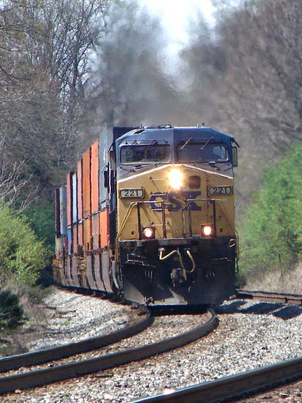
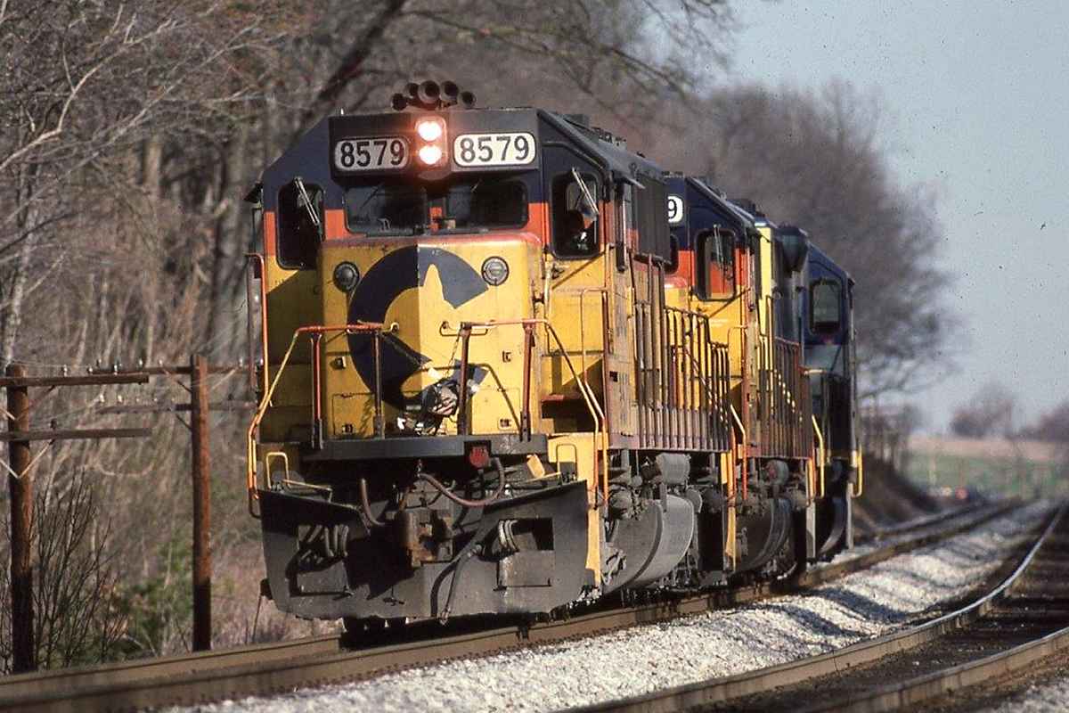
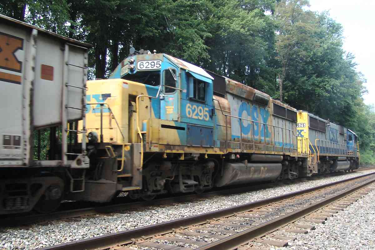
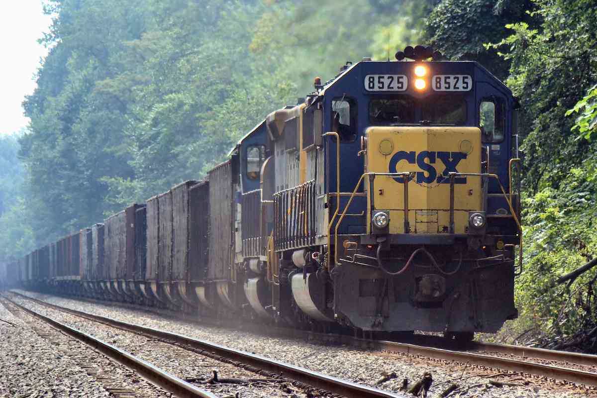
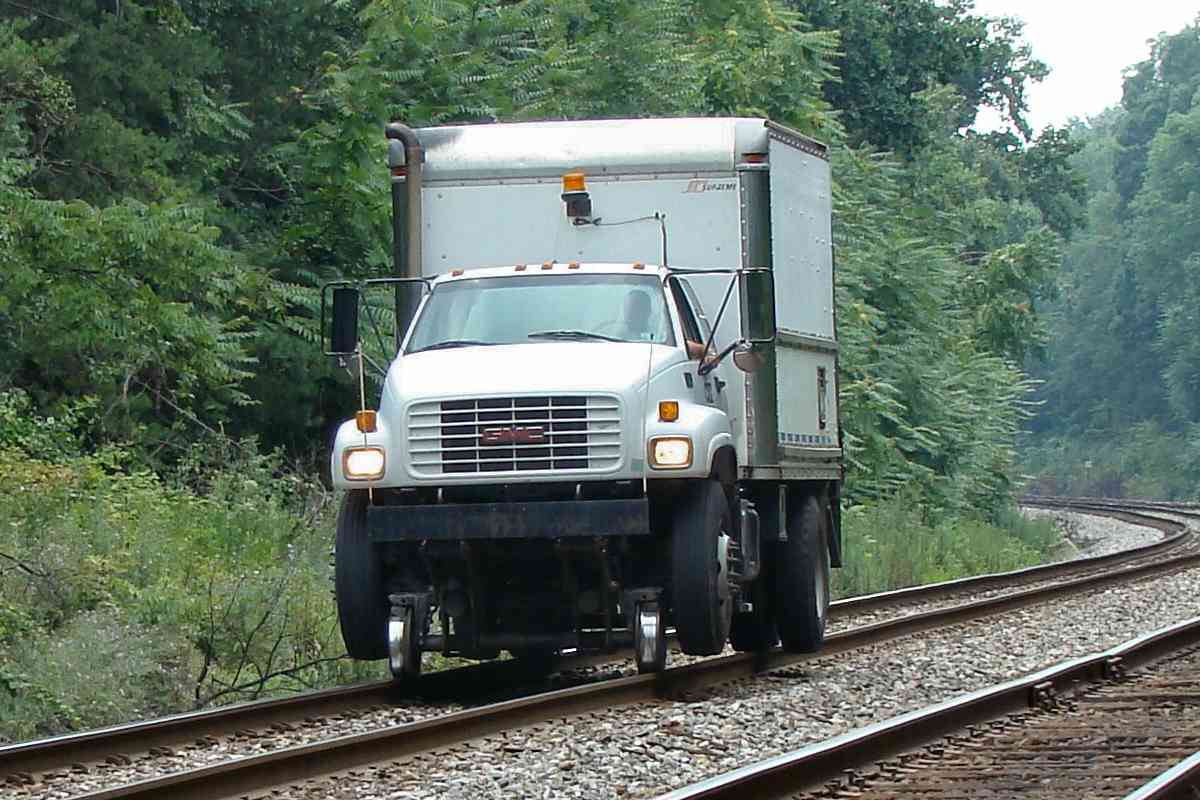
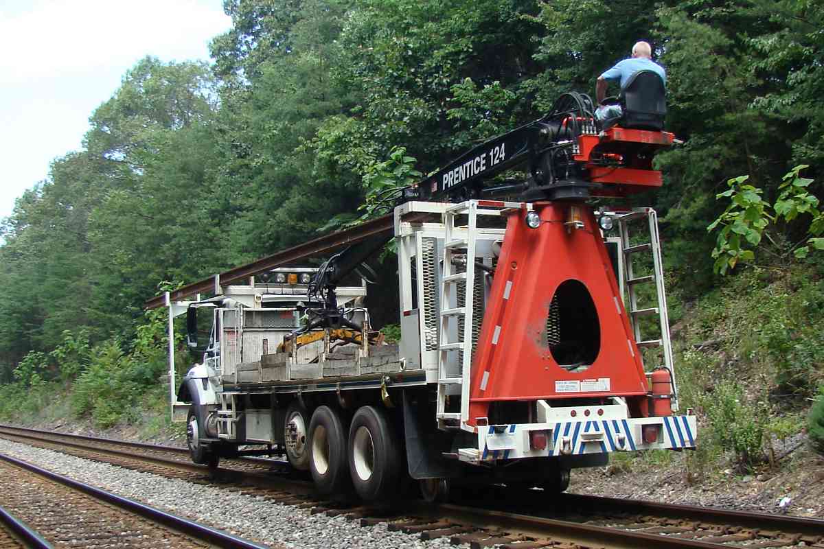
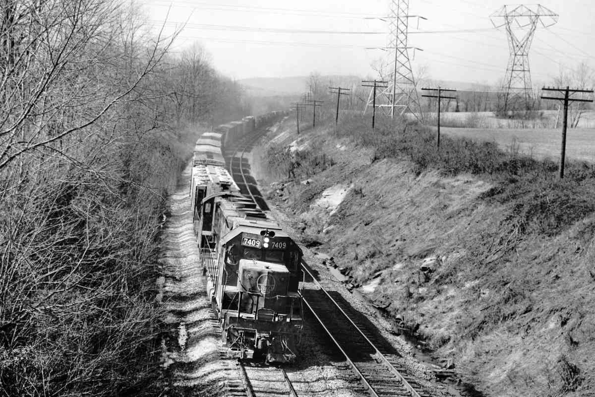
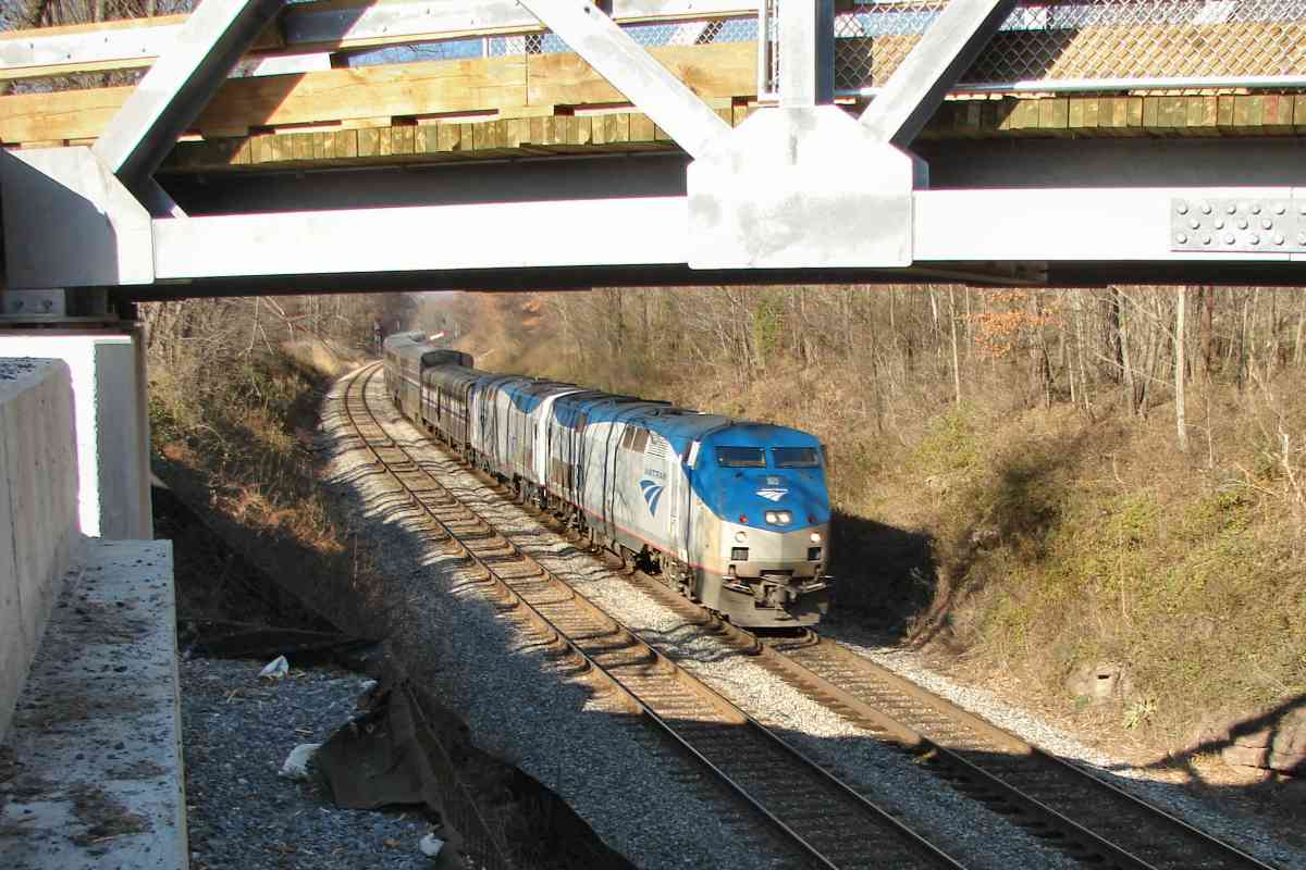
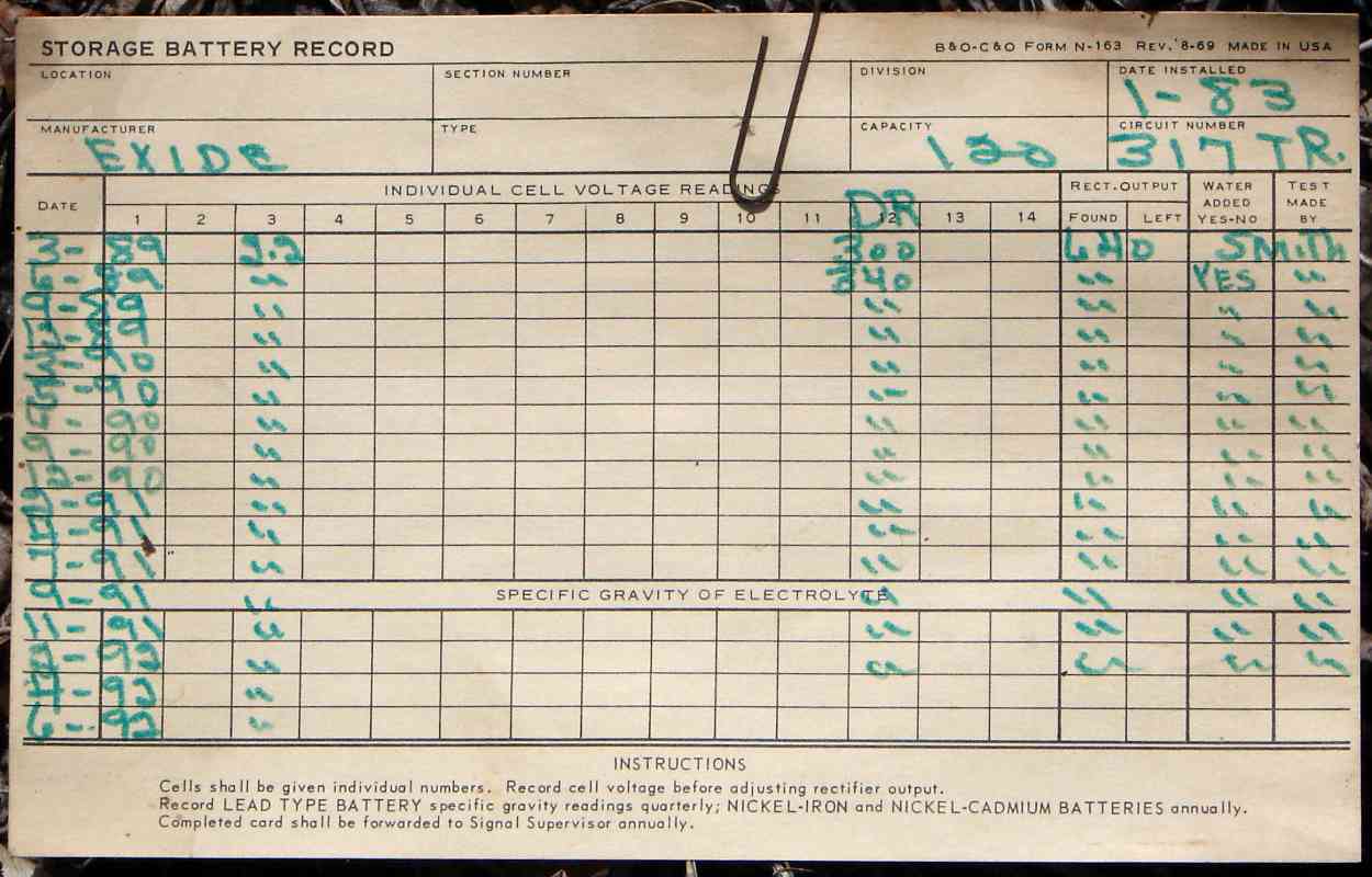
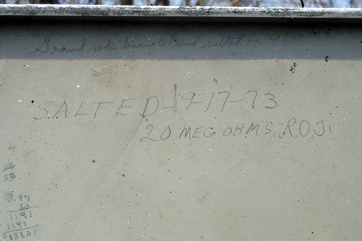
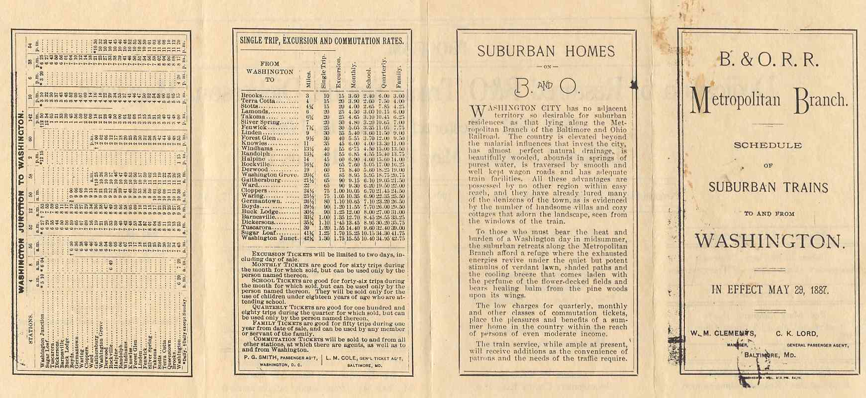
The dedication program included on the reverse this replica train schedule from 1887. Looking to increase passenger revenue during an era before air conditioning, B&O described the region in these glowing terms:

"Suburban Homes On B. & O. - Washington City has no adjacent territory so desirable for suburban residences as that lying along the Metropolitan Branch of the Baltimore and Ohio Railroad. The country is elevated beyond the malarial influences that invest [sic] the city, has almost perfect natural drainage, is beautifully wooded, abounds in springs of purest water, is traversed by smooth and well kept wagon roads and has adequate train facilities. All these advantages are possessed by no other region within easy reach, and they have already lured many denizens of the town, as is evidenced by the number of handsome villas and cozy cottages that adorn the landscape, seen from the windows of the train.

"To those who must bear the heat and burden of a Washington day in midsummer, the suburban retreats along the Metropolitan Branch afford a refuge where the exhausted energies revive under the quiet but potent stimulus of verdant lawn, shaded paths and cooling breeze that comes laden with the perfume of the flower-decked fields and bears healing balm from the pine woods upon its wings.

"The low charges for quarterly, monthly and other classes of commutation tickets, place the pleasures and benefits of a summer home in the country within reach of persons of even moderate income.

"The train service, while ample at present, will receive additions as the convenience of patrons and the needs of the traffic require."


Dickerson MARC
Photo courtesy Dave Hiteshew

Dickerson MARC
Mile: 35.7 Date: Nov 2007
Ease: B+ View: NE
Area: A IC2:
Map: Mo 7 B 8 Topographic Maps

Twenty years of MARC passengers have worn on Dickerson Station.

Link: 1980


Dickerson Road
Photo courtesy Dave Hiteshew

Dickerson Road
Mile: 35.8 Date: Jun 2008
Ease: A View: S
Area: A IC2:
Map: Mo 7 B 7 Topographic Maps

B&O ceased using stone for construction around 1910, so that means this bridge over Dickerson Road (MD 28) dates to earlier.


Sinkhole
Photo courtesy Dave Hiteshew

Sinkhole
Mile: 36.2 Date: Jul 2008
Ease: B View: W
Area: A IC2:
Map: Mo 7 A 7 Topographic Maps

This may be one reason the ties over bridges are whitewashed: if the stone ballast starts sinking, there's a hint as to why. In this case, the ceiling of the culvert below had given way.


Bridge 37A
Photo courtesy Dave Hiteshew

Bridge 37A
Mile: 36.4 Date: Jul 2008
Ease: B- View: N
Area: A IC2:
Map: Mo 6 K 7 Topographic Maps

Like bridge 34B, this one has been extended, but the arch style was not preserved.


Chessie 6603
Photo courtesy HH Harwood

Chessie 6603
Mile: 36.7 Date: 1979
Ease: A View: E
Area: A IC2: 168
Map: Mo 6 J 7, Fr 44 D 13 Topographic Maps

Parrs Ridge, the nemesis of the Old Main Line, also presents enough of an uphill obstacle for the Met that pushers are sometimes needed even by mixed freights.

A 1908 USGS map shows an old B&O spur that, at the curve, heads straight into the distance to what might have been a quarry. Satellite views appear to confirm, but I have not visited the site to check.


B&O 7409
Photo courtesy HH Harwood

B&O 7409
Mile: 36.7 Date: 1979
Ease: A View: NW
Area: A IC2: 168
Map: Mo 6 J 7, Fr 44 D 13 Topographic Maps

From the other side of Mouth of Monocacy Road, Harwood captured B&O 7409 working uphill in 1979. The power lines emerge from a Pepco power generating plant about 1.5 miles away on the left. In 1957, B&O built a spur to bring rail service to the plant.


Amtrak 80
Photo courtesy Dave Hiteshew

Amtrak 80
Mile: 36.7 Date: Nov 2007
Ease: B+ View: NW
Area: A IC2: 168
Map: Mo 6 J 7, Fr 44 D 13 Topographic Maps

Mouth of Monocacy Road is getting a new bridge as Amtrak 80 approaches. The hills are not as much trouble for the relatively light weight passenger trains.

During the 19th century, Spinks Ferry had been a popular Potomac River crossing for Virginia farmers sending crops to the port of Baltimore. Their route can still be followed east as follows: Mouth of Monocacy Road, Mt Ephraim Road, Barnesville Road, W Old Baltimore Road (which crosses Ten Mill Creek via Montgomery County's last river ford open to automobiles), N Frederick Road, Brink Road, Sundown Road, New Hampshire Avenue, Greenbridge Road (now ends at Triadelphia Dam waters), Green Bridge Road in Howard County, Ten Oaks Road, Pfefferkorn Road, and Frederick Road.

Note the signals in the distance. The spur that is the subject of the next tour page begins there.


<< Previous (east) | THIS PAGE: Sellman to Dickerson | Next (west) >>

Or, return to main page for other tours.

Copyright Notice