TrainWeb.org Facebook Page
B&O Metropolitan Branch Photo Tour


B&O Metropolitan Branch
Modern day photo tour

Accompanying each photo below are:

Click a photo to see a larger view. Please send your comments and corrections to Steve.


<< Previous (east) | THIS PAGE: Catoctin to Brunswick | Next (west) >>

Canal Arch
Photo courtesy Dave Hiteshew

Canal Arch
Mile: 72.3 Date: Jul 2007
Ease: B View: SE
Area: A IC2:
Map: Fr 36 B 12 Topographic Maps

Both C&O Canal and B&O Railroad began respective construction with ceremonies on July 4, 1828, and both chose multiple stone arches to span Catoctin Creek, the most substantial waterway crossing challenge in this area. One semi-intact canal aqueduct arch survives; the others collapsed in 1973.

The masonry was coming apart well before the 1970s, as the 1959 HABS/HAER photos linked below illustrate.

Link: 1959


Pedestrian Bridge
Photo courtesy Dave Hiteshew

Pedestrian Bridge
Mile: 72.3 Date: Jul 2007
Ease: B View: E
Area: A IC2:
Map: Fr 36 B 12 Topographic Maps

For canal towpath hikers and bikers, the US National Park Service subsequently built this surplus military pedestrian bridge.

Link: Biking the canal in 2006


Stonework
Photo courtesy Dave Hiteshew

Stonework
Mile: 72.3 Date: Jul 2007
Ease: B View: S
Area: A IC2:
Map: Fr 36 B 12 Topographic Maps

C&O was not as picky about its stonework, instead opting for more irregular pieces than B&O selected. That may partially explain the demise of the canal's arches here while those of the railroad still stand. The primary reason may be that the middle of the original three arches was elliptical in shape, and thus not as strong.

The top middle section of this wing wall exhibits distinctly different masonry, suggesting it was replaced after the initial construction, perhaps after another collapse. Does anyone know the purpose of the unusually shaped, leaning boxed area at right?

Links: info from National Park Service, Catoctin Aqueduct restoration project, Crusade Along a Canal


Upstream
Photo courtesy Dave Hiteshew

Upstream
Mile: 72.3 Date: Jul 2007
Ease: B View: NW
Area: A IC2:
Map: Fr 36 B 12 Topographic Maps

The railroad spans Catoctin Creek a short distance upstream (right center).


CSX 6244
Photo courtesy Dave Hiteshew

CSX 6244
Mile: 72.3 Date: Jul 2007
Ease: B View: NW
Area: A IC2: 43
Map: Fr 36 B 12 Topographic Maps

Westbound CSX 6244 and CSX 53 rumble across the dual arches. Heading west from Baltimore, this is the first surviving multiple arch stone bridge encountered since the Twin Arch bridge at Mt. Airy.


arches
Photo courtesy Dave Hiteshew

Arches
Mile: 72.3 Date: Jul 2007
Ease: B View: NW
Area: A IC2:
Map: Fr 36 B 12 Topographic Maps

Perhaps the greater weight of locomotives, compared to boats, justified building a large structure with precise stonework, but I can't help but think B&O was showing off a bit to its downstream competitor.


widened
Photo courtesy Dave Hiteshew

Widened
Mile: 72.3 Date: Sep 2007
Ease: B View: SE
Area: A IC2:
Map: Fr 36 B 12 Topographic Maps

Reflected sunlight helps reveal the bridge was widened (in 1902). Note the arch stones closer to the camera, the upstream half, exhibit more pitting and erosion since it dates to 1833.


culvert
Photo courtesy Dave Hiteshew

Culvert
Mile: 72.6 Date: Sep 2007
Ease: B View: S
Area: A IC2:
Map: Fr 36 A 12 Topographic Maps

This culvert may lack the grand, sweeping arches of its much more substantial sibling to the east, but it has the always-helpful embossed date of (re)construction. The resemblance to OML bridge Bridge 32 1/4 suggests that in 1910 this bridge/culvert lost its arch.

Another, boxier culvert to the west does not rate a tour photo, but gives the appearance of also being rebuilt in 1910.


signals
Photo courtesy Dave Hiteshew

Signals
Mile: 72.7 Date: Sep 2007
Ease: B View: W
Area: A IC2:
Map: Fr 36 A 12 Topographic Maps

Less common than standard six-lamp CPL (color-position light) signals are these eight-lampers guarding the crossovers near the eastern end of Brunswick Yard. These red lights mean Stop; if they included a lit marker light and a number plate, they would mean Stop then proceed at Restricted speed. The variations of CPL lights, blinking, markers and number plates combine to create a fairly complex signalling system.

Link: Signal Rules of the Chessie System, CSX Signal Rules (PDF)


8-lamp cpl
Photo courtesy Dave Hiteshew

8-Lamp CPL
Mile: 72.8 Date: Sep 2007
Ease: B View: W
Area: A IC2:
Map: Fr 36 A 12 Topographic Maps

lunar cpl Eight-lamp CPLs are often found near rail yards because they have the upper-left and lower-right lights necessary to display a "Restricting" aspect. A Restricting aspect advises the train's operator to proceed without stopping, but do so at a speed slow enough to stop before any track obstruction he may observe on his own.

When lit, the Restricting speed indicators are a slightly blue-tinted white color like that of the Moon, hence they are sometimes called a "lunar" aspect. The example photo at right comes courtesy David Malohn. The lunar aspect is also used to alert the operator that he is entering unsignalled territory and thus must proceed cautiously and employ his own judgment.

Few 8-lamp CPLs were found within the area covered by these tour pages. Other locations were on the Capital Sub (Washington Branch) near Jessup and Savage stations.


amtrak 80
Photo courtesy Dave Hiteshew

Amtrak 80
Mile: 73.0 Date: Sep 2007
Ease: C+ View: W
Area: A IC2:
Map: Fr 35 K 12 Topographic Maps

At the east end of Brunswick Yard, Amtrak 80 speeds double-decked passengers closer to Washington, DC.

The "Brake Stick Use Is Mandatory" sign reminds crews of trains stopping and tying down at Brunswick that the handbrakes of individual cars should not be applied by directly by hand, but rather via a pole. Brake sticks apparently reduce the risk of injury, but some workers report that engaging and disengaging the brakes via a stick is tougher to do and therefore less reliable.


little catoctin creek
Photo courtesy Dave Hiteshew

Little Catoctin Creek
Mile: 73.2 Date: Sep 2007
Ease: C View: SW
Area: A IC2:
Map: Fr 35 K 12 Topographic Maps

Without a known object to compare for size, one might guess this bridge is "little", just like the name of the creek it spans... however, looks can be deceiving.


not little
Photo courtesy Dave Hiteshew

Not Little
Mile: 73.2 Date: Sep 2007
Ease: C View: S
Area: A IC2:
Map: Fr 35 K 12 Topographic Maps

With perspective, it suddenly appears a wee bit bigger... the peak of the arch is about 20 feet above the water.

This bridge, like the others in this vicinity, has been widened/lengthened to support trackage near the railyards at Brunswick. The original, oldest portion is the stone and brick segment in the distance. Beyond that is masonry for the adjacent C&O canal.


outlet
Photo courtesy Dave Hiteshew

Outlet
Mile: 73.2 Date: Sep 2007
Ease: C View: NW
Area: A IC2:
Map: Fr 35 K 12 Topographic Maps

The canal-facing side of the bridge boasts the accuracy of unmortared cut stone. The outlet side of such bridges is never smaller than the inlet side lest debris get jammed and block the water flow.


csx 6361
Photo courtesy Dave Hiteshew

CSX 6361
Mile: 73.3 Date: Sep 2007
Ease: C+ View: NE
Area: A IC2:
Map: Fr 35 K 12 Topographic Maps

CSX 6361 along with 6453 and 2205 lead coal empties west into Brunswick Yard.

The CPL at right is displaying one of several approach signals, but I am unsure exactly which since I've read differing claims.

Link: 2010 snow


csx 2205
Photo courtesy Dave Hiteshew

CSX 2205
Mile: 73.3 Date: Sep 2007
Ease: C+ View: W
Area: A IC2:
Map: Fr 35 K 12 Topographic Maps

Road slug 2205 doesn't generate its own electricity but rather is cabled some from the other locomotives so as to power more wheels and provide extra traction. Since switching to the "Dark Future" paint scheme, CSX stopped painting road slugs gray.


Location C
Photo courtesy Dave Hiteshew

Location C
Mile: 73.x Date: Sep 2007
Ease: C View: W
Area: B IC2:
Map: Fr 35 H 13 Topographic Maps

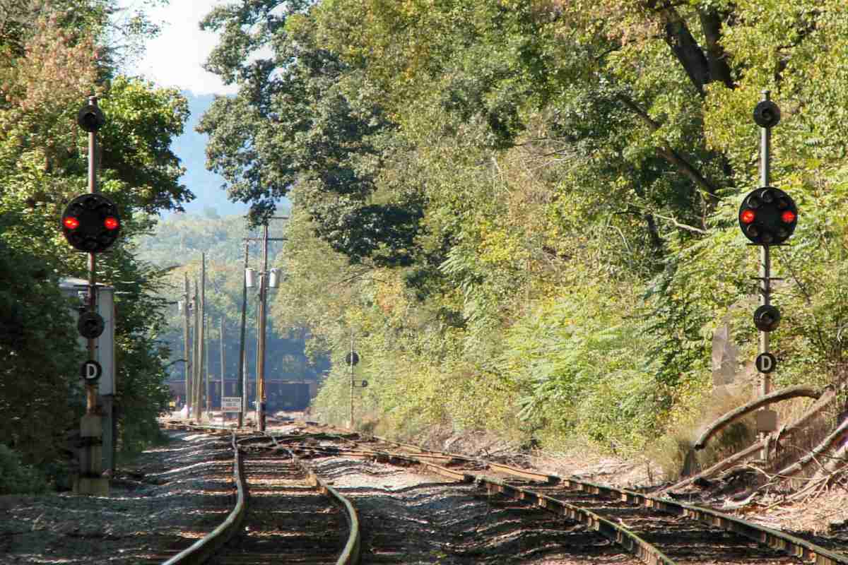
Brunswick Yard gets going in earnest here. A settlement about 2 miles ahead was established in 1717 as a trading post of the Susquehanna River Trading Company. The site was chosen in part because it is a good location to cross the Potomac River; frequent use by German immigrants led to the intitial name of German Crossing. More names followed: German Crossing changed to Berlin, then Barry, then Brunswick. The first boat along the C&O Canal arrived in 1834.

B&O was unhappy with crowding at its Martinsburg, West Virginia facilities during the 1880s, so decided to build new ones closer to Washington, DC and Baltimore, MD. They chose Brunswick as the new location, and by 1891 had constructed rail yards and facilities that extended parallel to the river for several miles.

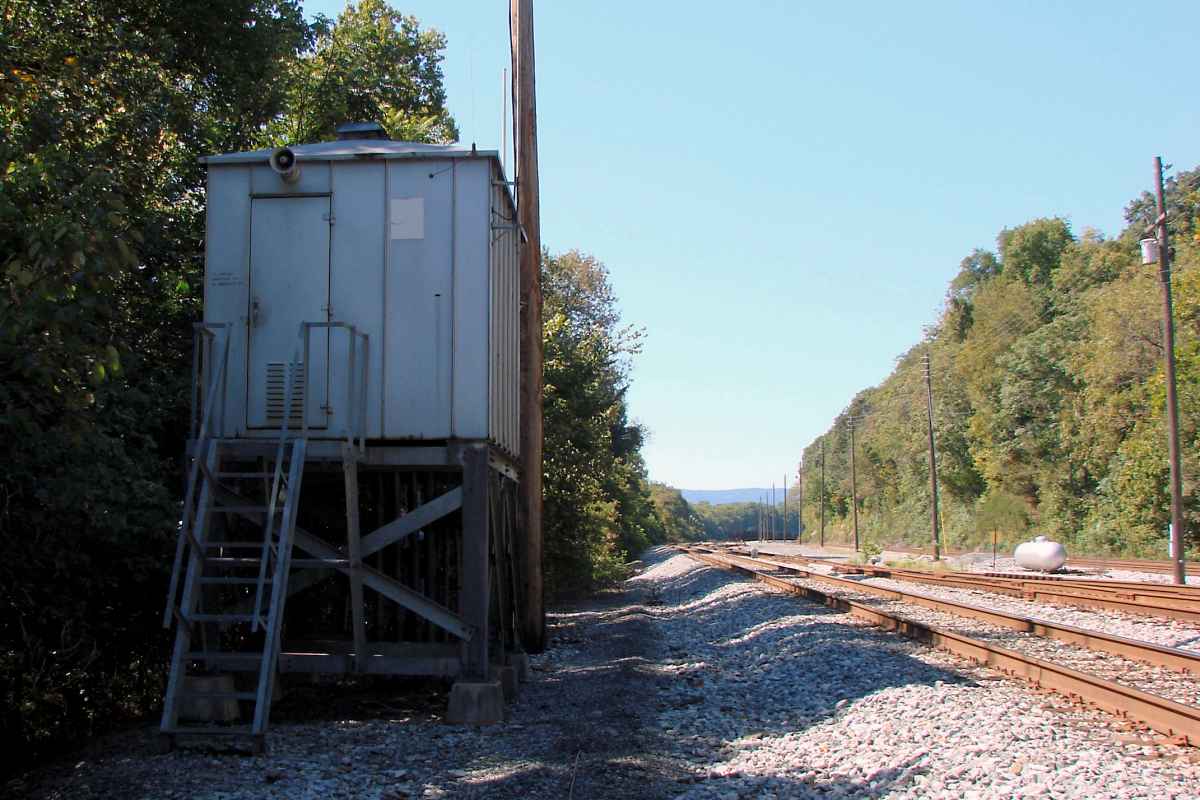
According to Google Earth, the east side of Brunswick Yard is about 25 feet above the normal level of the Potomac River, which is hidden on the left. Since the Potomac experiences major floods about every 10 years, the Location C electrical box qualifies for a perch with some breathing room.


Unknown Car
Photo courtesy Dave Hiteshew

Unknown Car
Mile: 73.8 Date: Sep 2007
Ease: C+ View: W
Area: B IC2:
Map: Fr 35 H 13 Topographic Maps

I've not seen another car like this one with the slatted high sides... anyone know what it's called?

Reader Greg Hager reports this type of car hauls railroad ties.


Trio
Photo courtesy Dave Hiteshew

Trio
Mile: 74.2 Date: Sep 2007
Ease: C+ View: NE
Area: B IC2: 188
Map: Fr 35 G 13 Topographic Maps

Several paint schemes and engine designs are represented by CSX 5012, CSX 97, and CSX 6155. You won't find this much equipment anywhere but a yard.

Brunswick had two classification yards. The one on the east side, the older of the two and shown here, handled west bound traffic and survives today albeit with far less activity than during the age of steam.


Chessie
Photo courtesy Dave Hiteshew

Chessie
Mile: 74.2 Date: Sep 2007
Ease: C+ View: NW
Area: B IC2:
Map: Fr 35 G 12 Topographic Maps

Some of the oldest paint schemes survive on rolling stock. That goes for old reporting marks too, like NYC (New York Central).

I contend that the Chessie logo not only looks like the Chessie cat, but was inspired by the shape of the Chesapeake Bay. Chessie remains CSX's mascot, but hasn't been seen for awhile.

Link: Wikipedia's entry on Chessie cat


Zoom
Photo courtesy Dave Hiteshew

Zoom
Mile: 74.4 Date: Sep 2007
Ease: B View: NW
Area: B IC2:
Map: Fr 35 F 12 Topographic Maps

Brunswick is the first broad, level area east of the rocky hills near Harpers Ferry, West Virginia. Hikers follow the Appalachian Trail along the hill seen though about 4 miles of haze.


<< Previous (east) | THIS PAGE: Catoctin to Brunswick | Next (west) >>

Or, return to main page for other tours.

Copyright Notice