Don and I planned this trip for about a
year. We wanted to return to the Izaak Walton Inn, at Essex, Montana,
on the Empire Builder Route between West and East Glacier, for our
fourth time. We enjoy this Inn so much because it is on the mainline
and you can watch trains from your lodge window day and night!
Amtrak Coast Starlight trip from Fullerton, California, to Seattle Washington
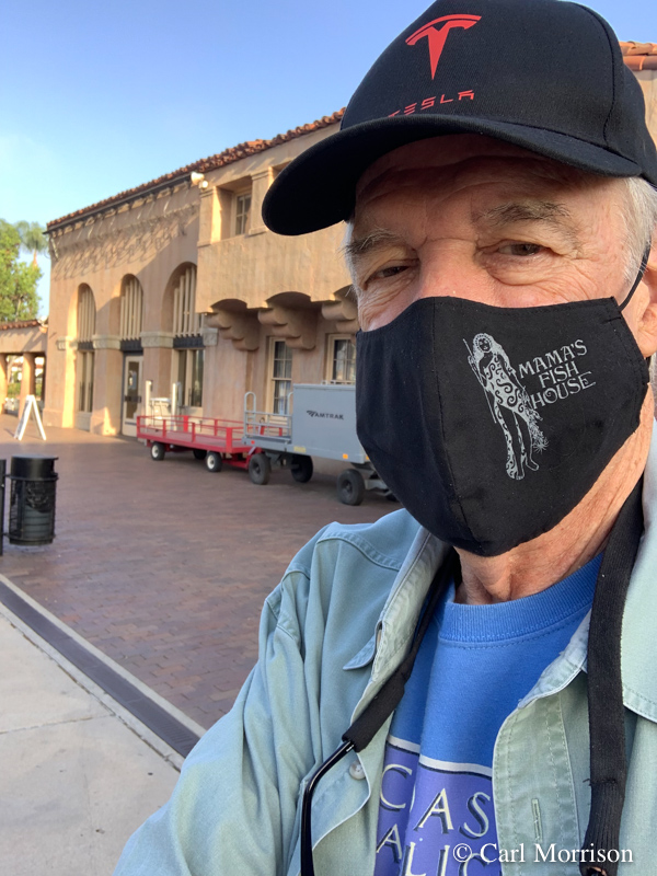
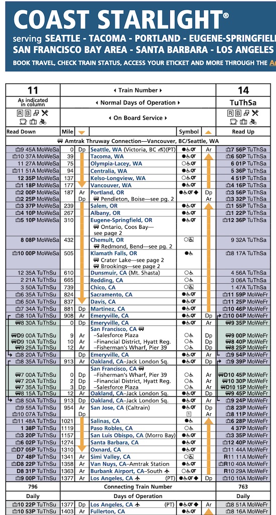 We started at Fullerton on the Surfliner (bottom right and read up the right side). From Los Angeles we boarded the Coast Starlight for Seattle.
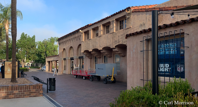
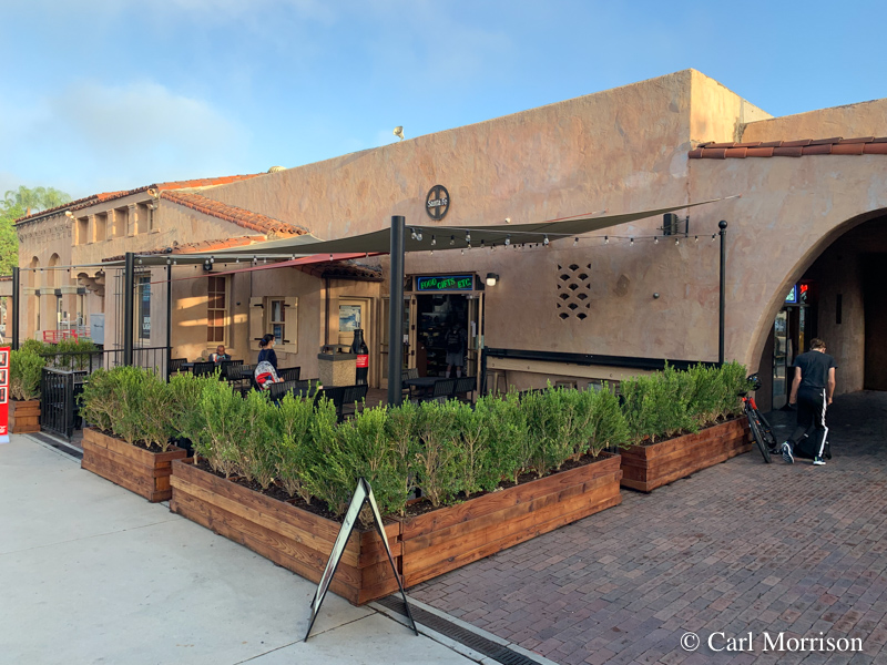
We always leave from the the Fullerton
Train Station because of the Santa Fe Cafe in the same building and the
operators Anna and Jose.
Since the first meal on the Coast Starlight is lunch at noon or after,
the Santa Fe Cafe is a good place for coffee and breakfast.
Since a Coast Starlight ticket includes a ticket on the Surfliner No.
763 from San Diego and points north, Fullerton Station is the best link
for us.
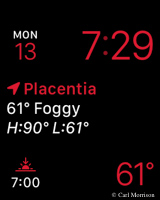
 I like to take a screen shot of my watch to remember the weather.
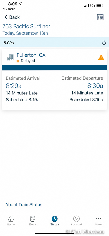
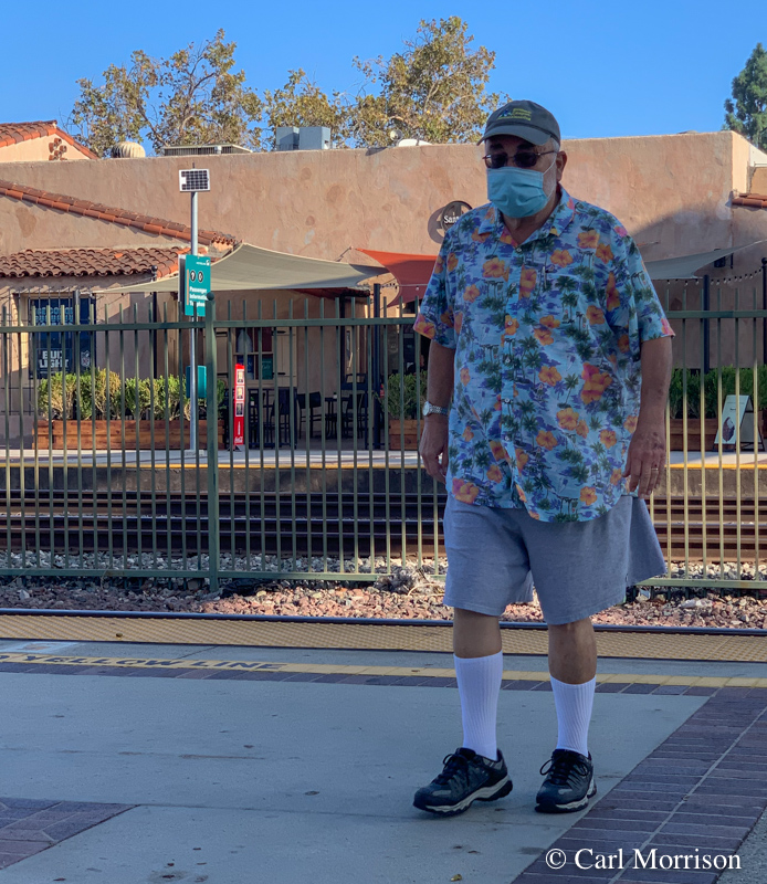 We were on the platform for track 3 by the announced arrival time, but
I checked (Amtrak app and Train Status) and found that the train was 14
minutes late.
Still in time to meet the Coast Starlight in LA.
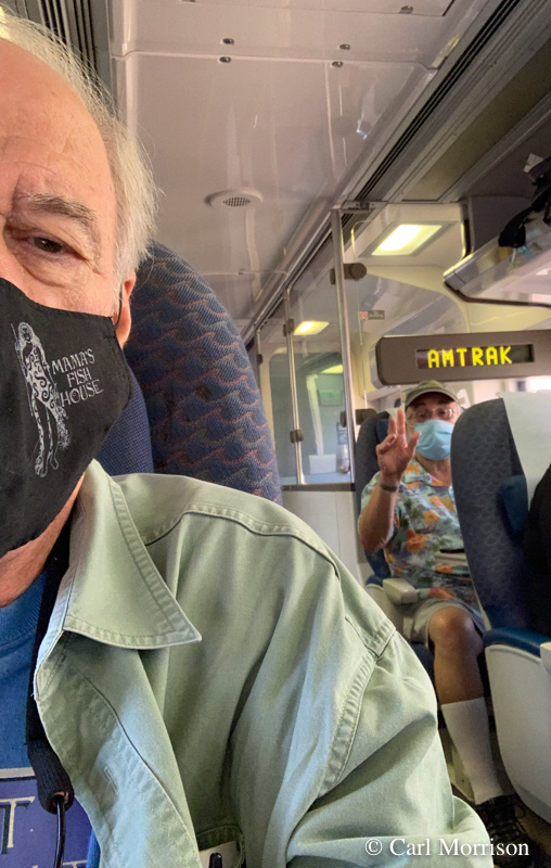
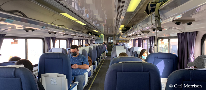 A Coast Starlight ticket includes a ticket on the Surfliner No.
763 from San Diego and points north (above).
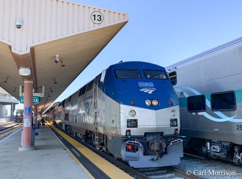 Since we were a bit late arriving on the Surfliner portion, I just
stayed on the platform since the Coast Starlight (above) would arrive
on the adjacent track in a few minutes.
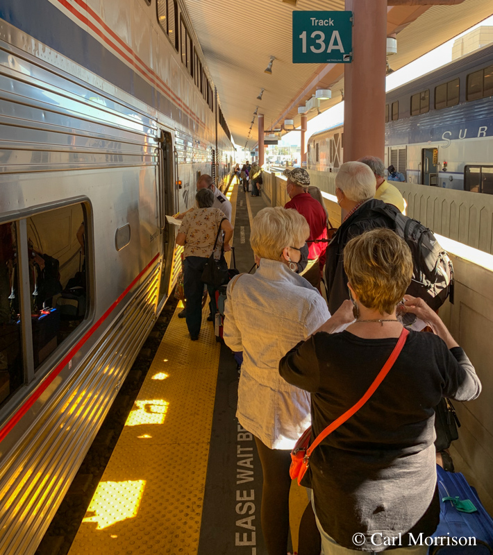
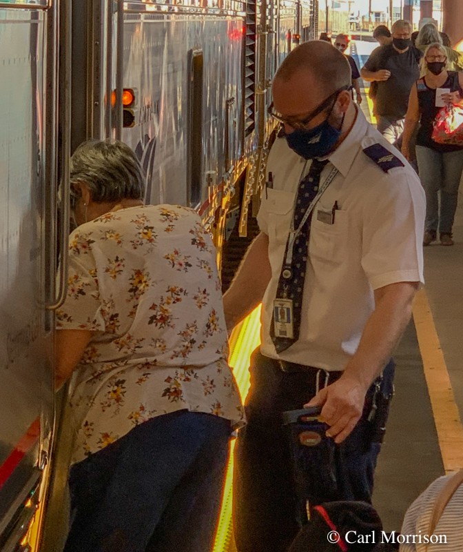 I watched for car 1430 as the train backed in from the yard. Sleepers are close to the locomotives.
Luke, Car Attendant of the 1430, helped passengers and their carryon luggage aboard.
 To capture an image of the small Roomette, on the upper level, I
took a panoramic photo on my iPhone showing the hallway (left) and the
two facing seats, table, and window for day travel.
At night, those 2 seats make into a lower berth and an upper berth
tilts down for bunk beds at night. Restroom is down the
hall. Shower and more restrooms are downstairs.
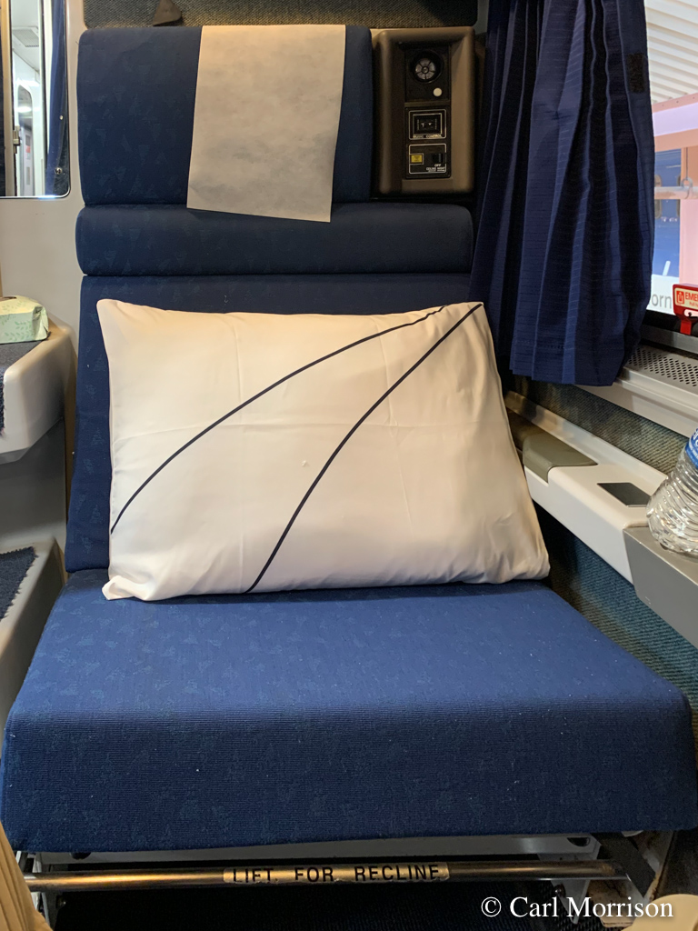
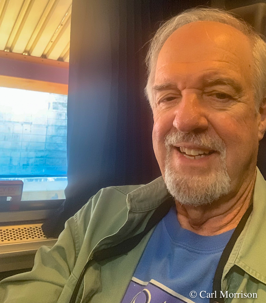 "Wide Body" seats during the day.
 Click the above image for a larger copy; Click BACK in your browser to return to this point in the report.
Rooms with letters A - E are upstairs and 3/4 the width of the rail car with a shower/toilet.
Room F is for "Family" with 2 short bunks and 2 regular-length bunks. It is the full width of the rail car.
Room H is Accessible with commode and 2 bunk beds and full width of the car.
Roomettes 1 - 10 are upstairs and 11 - 14 are downstairs.
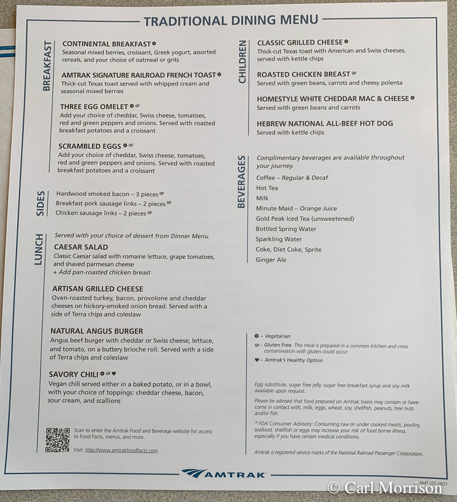 Our first meal was lunch at
noon, so the menu above was the first one we saw. Don had the
Angus Burger and I had the Chicken (half) breast. Both very good
with carrot cake dessert.

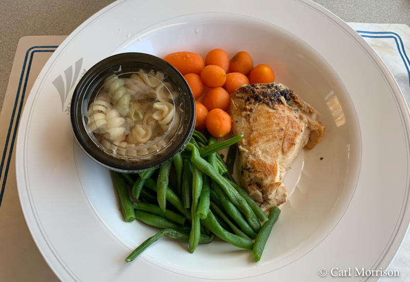 "San Andreas Fault" Burger for Don, "Somebody ate half by entree" Chicken Breast for Carl. Actually quite good.
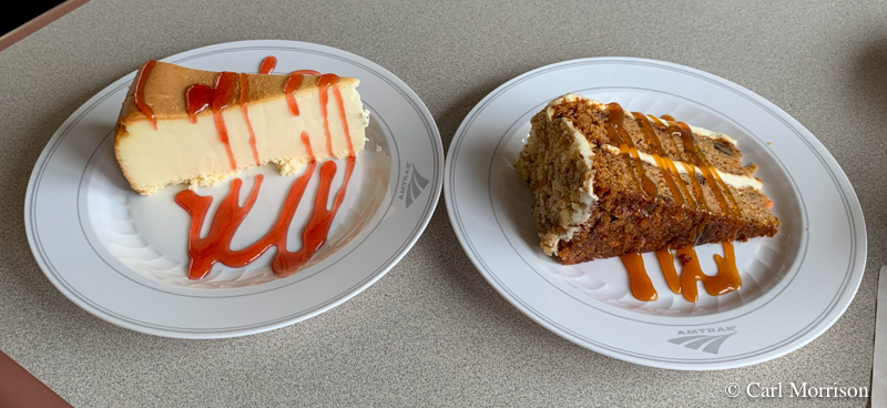 Cheese cake and carrot cake.
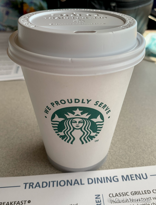
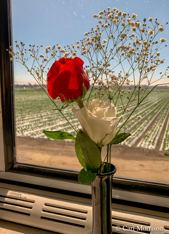 Real flowers on the table and brewed Starbucks in the cup.
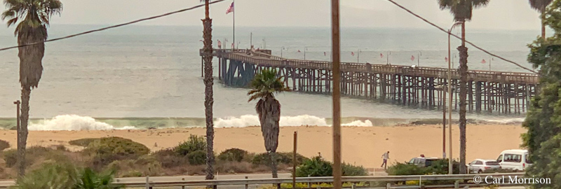 Ventura Pier from the train.
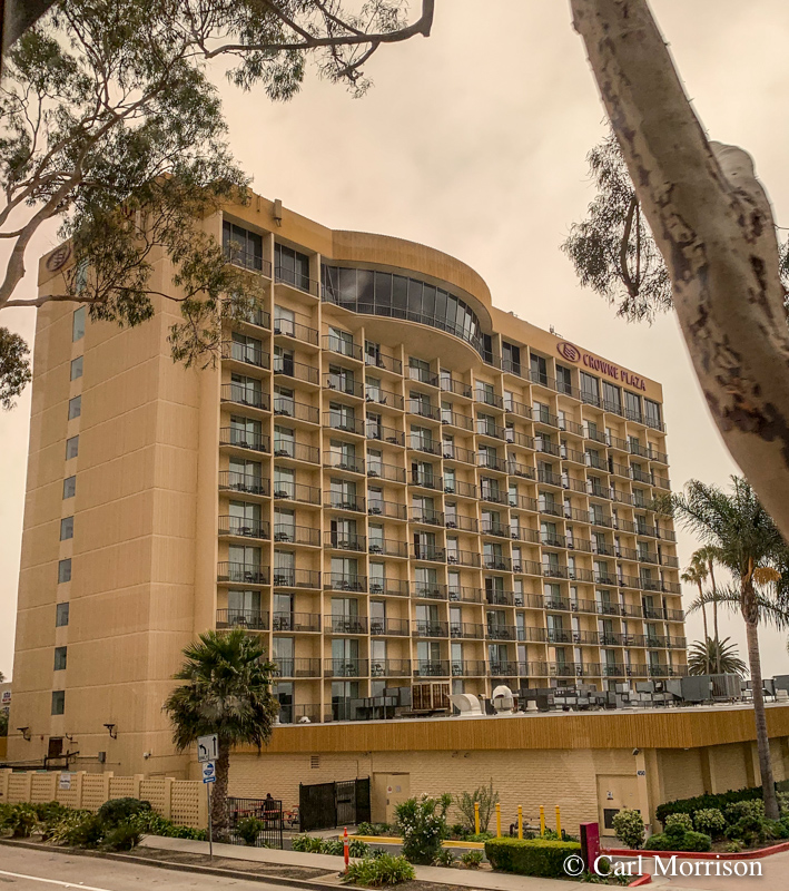 Ventura beach side Crowne Plaza hotel.
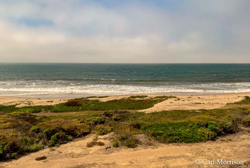 First sight of the blue Pacific at Ventura, the beginning of the
"Longest ocean-view train ride in America" up to San Luis Obispo.
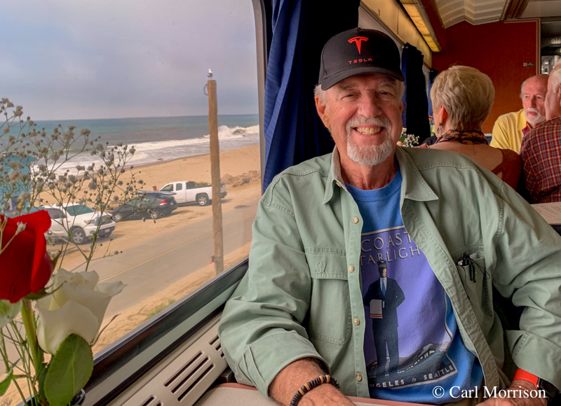
Waiting for lunch delivery by waiter,
James, and LSA, Vichaa, both great hosts. Across from us were Evy
and Jim, from Downey, CA, world travelers now seeing the USA by
land. They looked about my age, so I asked if they were newlyweds
on their honeymoon on this train ride. They were headed to
Seattle also, so we might see more of them on the train.
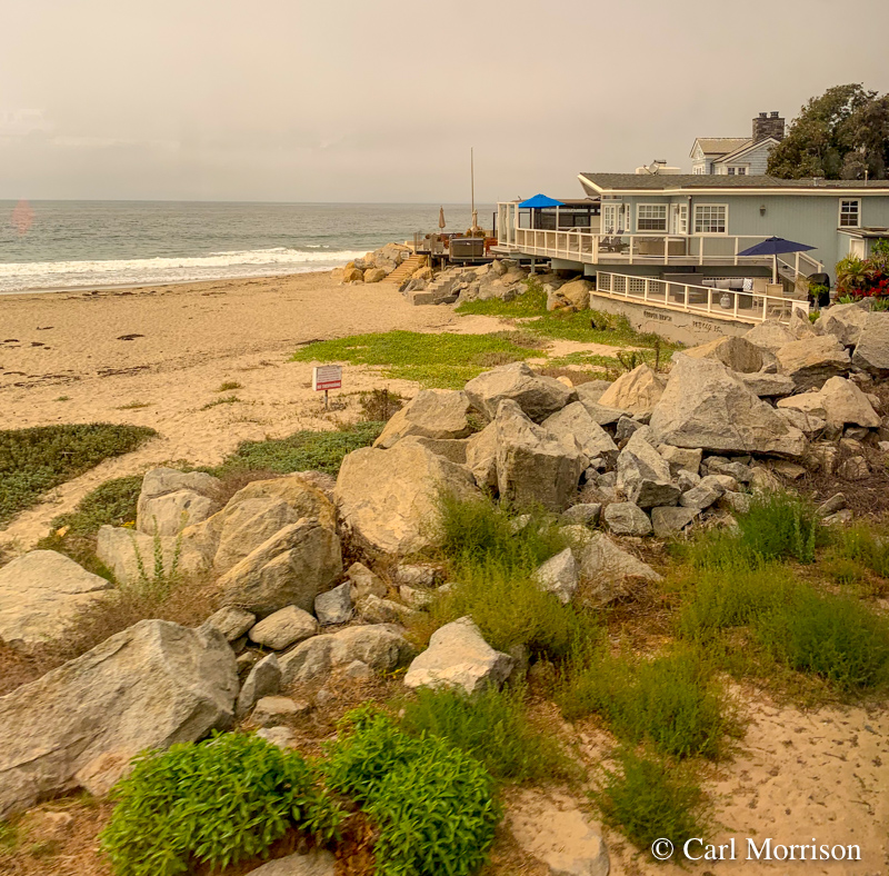
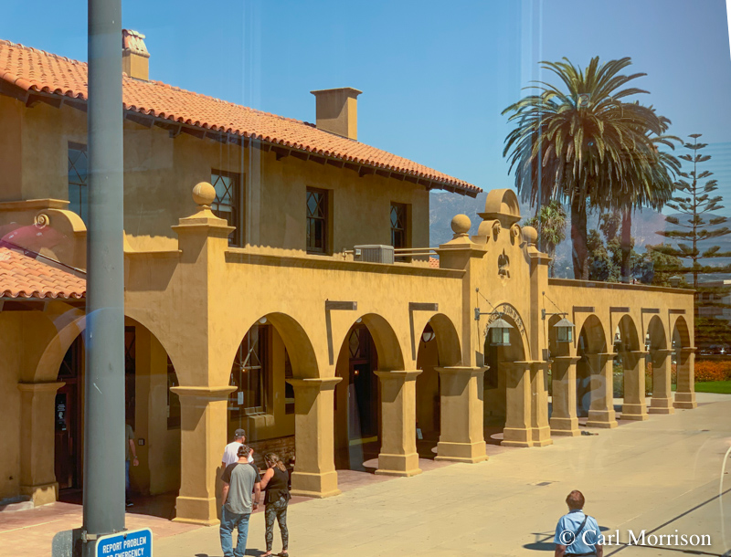 Beach front homes south of Santa Barbara (left), Santa Barbara Station.
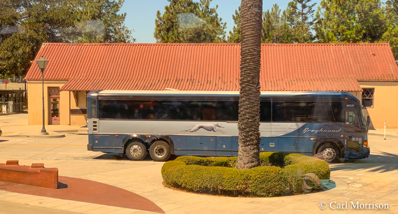
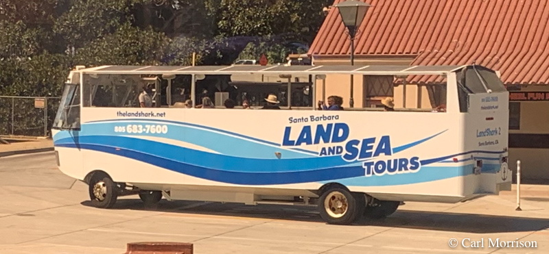 Greyhound to Solvang and tour in Santa Barbara.
 SP 142 "Santa Barbara" has been at the station several years.
According to Railfan.net: "Pullman
built class 70-C in 1914 for EP&SW as #675 with 81 seats, later
numbered SP #1052 in 1924. Rebuilt to the Santa Barbara in 1929
The SP142 is now owned by the City of
Santa Barbara Redevelopment Agency, has been refurbished by Fillmore
& Western Railway Company and is now on static display at the
railroad depot downtown (209 State Street, Santa Barbara, CA). "
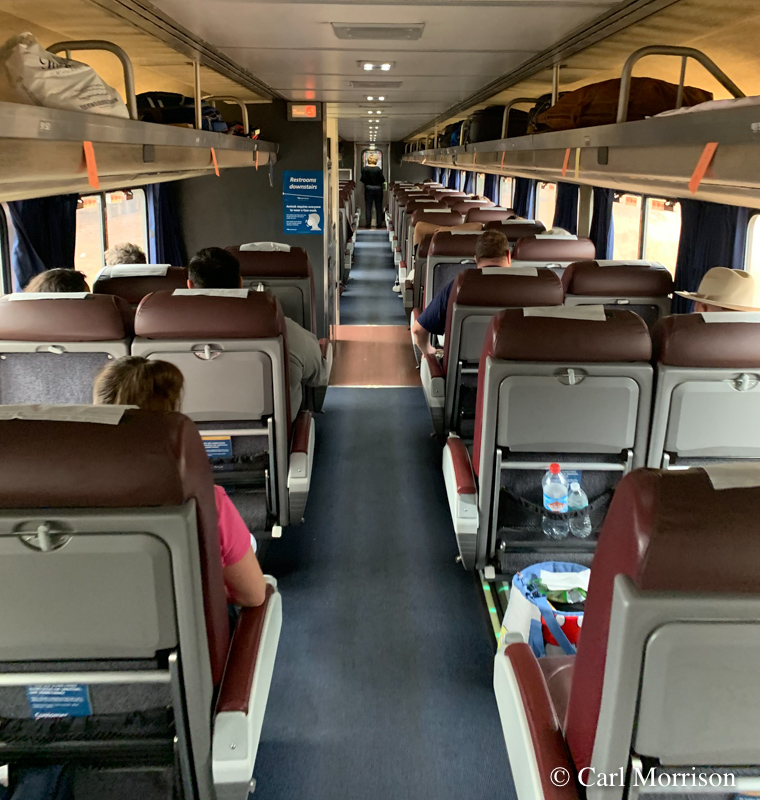
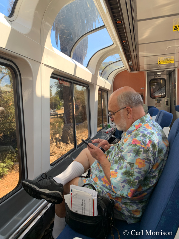 Above, Business Class car between the Lounge Car (with Don above) and Diner.
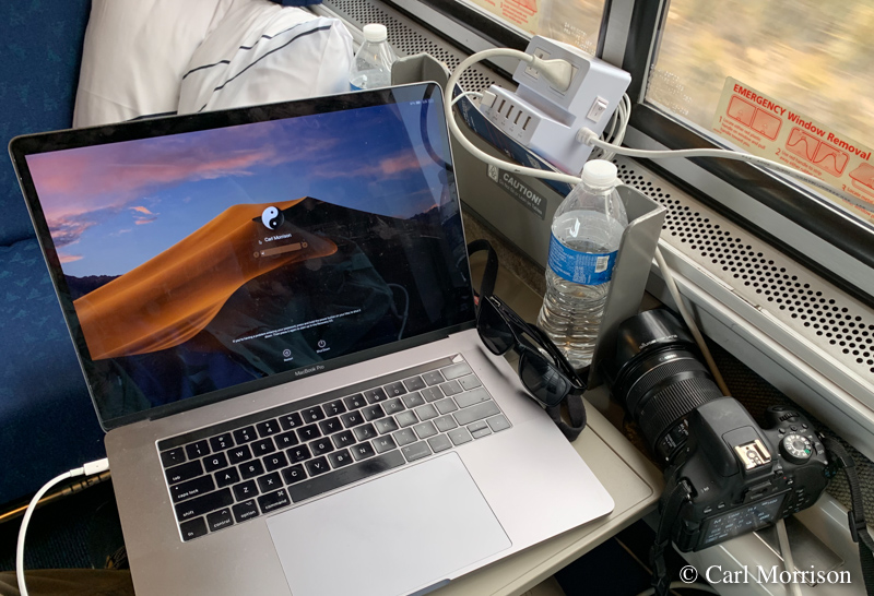 North of Santa Barbara, I set up command central to work on photos
uploaded from my iPhone, and to integrate the photos into my
report. With one plug in the room, I use the white box for 110
and USB.
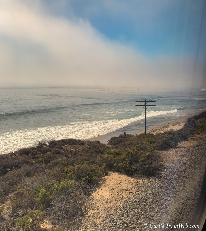
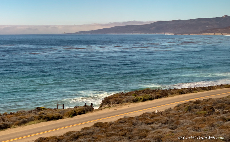 Left, during a stop for a red signal, a photo of Santa Barbara Channel
as the sun breaks through the "Onshore 'Flo', or 'Coastal Eddy'" as
local weathermen call it.
Right, the view from Vandenberg AFB of a road on the base and the Pacific Ocean.
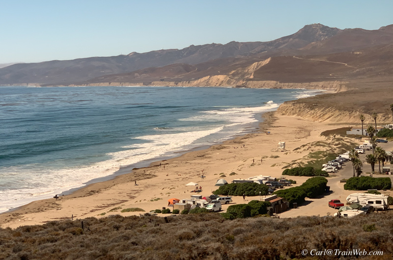
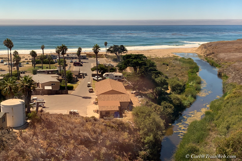 Jalama Beach County Park
Land near Jalama Creek was once a Chumash Indian settlement named
"Halama". In 1943, 23.5 acres of privately owned land was donated to
the County of Santa Barbara from the Atlantic Richfield Oil Company,
and thus, our park was formed. Jalama Beach is a respite from typically
bustling seaside parks, yet offers many conveniences. Groceries,
personal care sundries, firewood, fishing bait and tackle, ice, beer
and wine may be purchased at the Jalama Store. Other services include
mailing, facsimile, and video rentals. The store and its popular Grill
are open daily from 10:00 am.
Jalama Beach is approximately an hour drive from Santa Barbara and a
45-minute drive from Lompoc. A sign 4.5 miles south of Lompoc off
Highway 1 will direct you onto Jalama Road. Follow this scenic 14.5
mile road to the coast. The park entrance will be at the end of the
road. Jalama is subject to high winds and rough surf. Lifeguards are on
duty during the summer months, however visitors swim at their own risk.
Day-use picnic areas provide tables and raised fire boxes. Additional
activities include surfing, whale-watching, birdwatching, nature
photography, and fishing the surf or rock outcroppings for perch,
cabezon, kelp, bass, or halibut. Many protected California native
plants like sand verbena, saltbush, and sea rocket, grow within park
boundaries.
While you're here, visit the Jalama Beach Store and Grill and
have a "World Famous Jalama Burger." They also have an extended
menu that includes homemade clam chowder, chile verde and "Aunt Ruth's
Raw Apple Cake."
Source: https://www.countyofsb.org/parks/jalama.sbc
All
SOURCE links have been put in LINKS at the end of this report.
You may want to continue reading and check those links at the end of
the report.
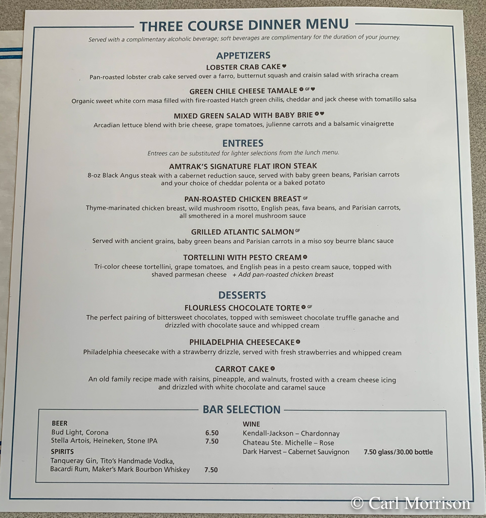 LSA came through requesting our dinner time preference and we selected 5:30. The menu above.
I selected Lobster Crab Cakes,(below), Amtrak's Signature Flat
Iron Steak, with Carrot Cake and coffee and water to drink. I
dove into the steak before photographing it, but it was just fine.
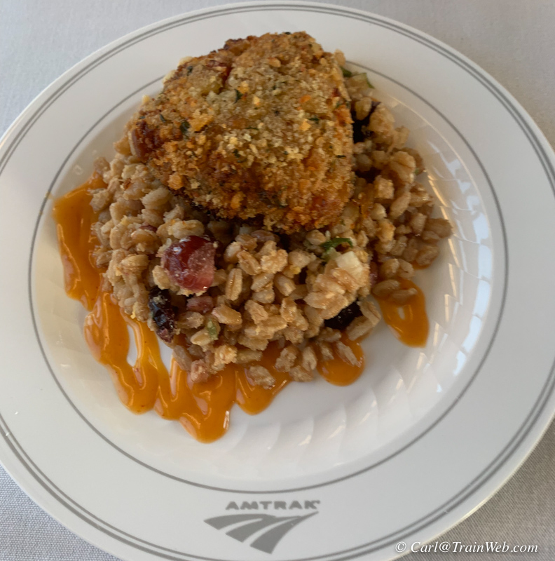 Lobster Crab Cake (Is it lobster or crab? It was delicious.)
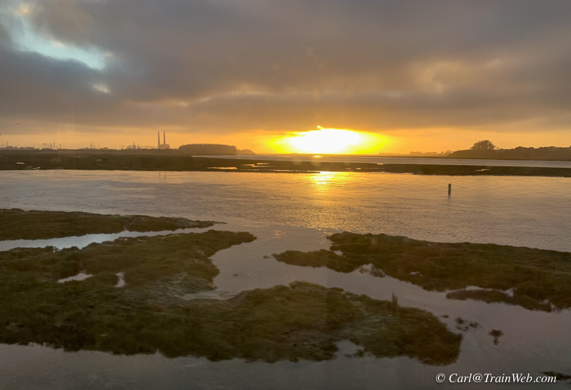 Near sunset we were passing Elkhorn Slough, inland from Moss Landing.
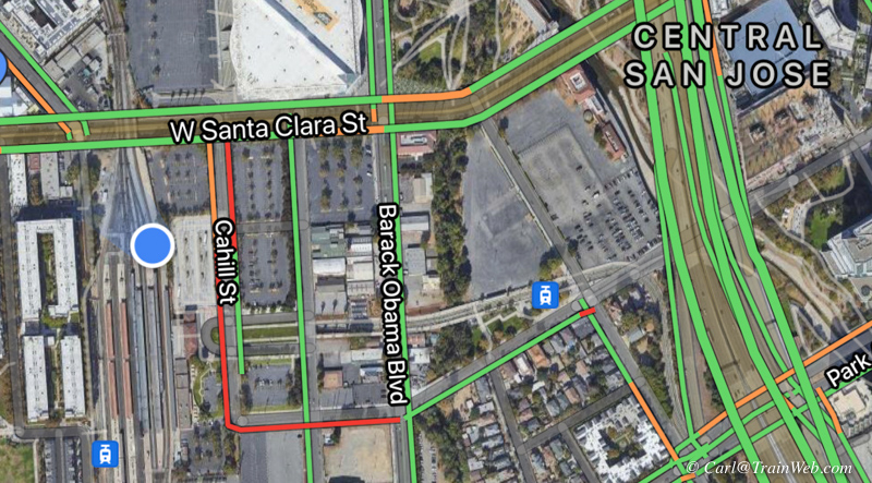 Sometimes when we stop in the night, I am not sure at which station we
have stopped. I use GOOGLE MAPS (above) to find our blue-dot
location.
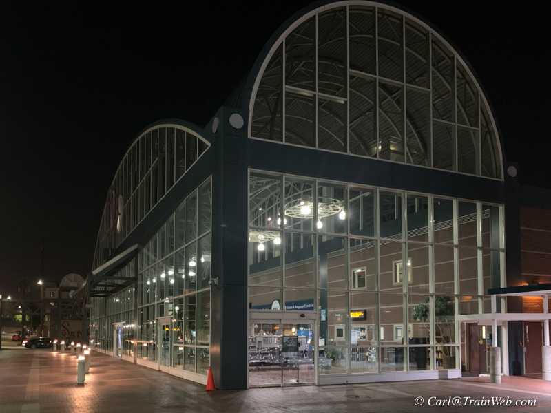
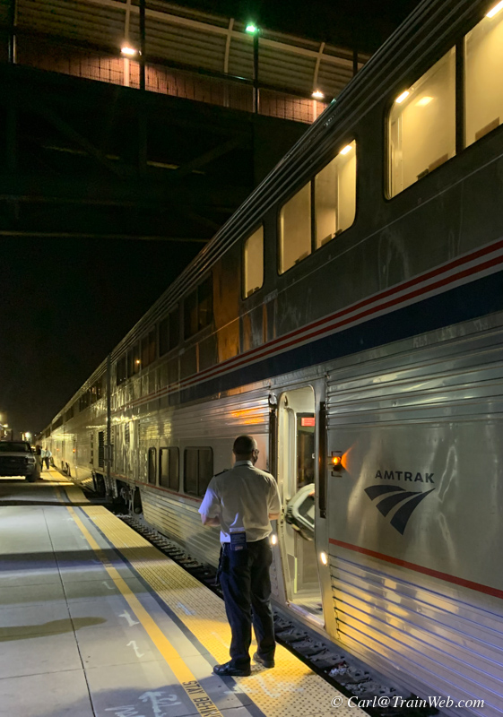 We stopped in Oakland long enough to step off for fresh air (smoking
for some). Luke, our Car Attendant, stands near the door to help
passengers stepping on or off his car.
If you ever venture down the side of the train and you hear the
double-toot of the engineer, quickly step into the nearest door, go
upstairs and through the train back to your car.
 I awoke about 7 a.m. on Tuesday, September 14. I took the photo
above of a single track and small lift bridge, but did not know where
we were.
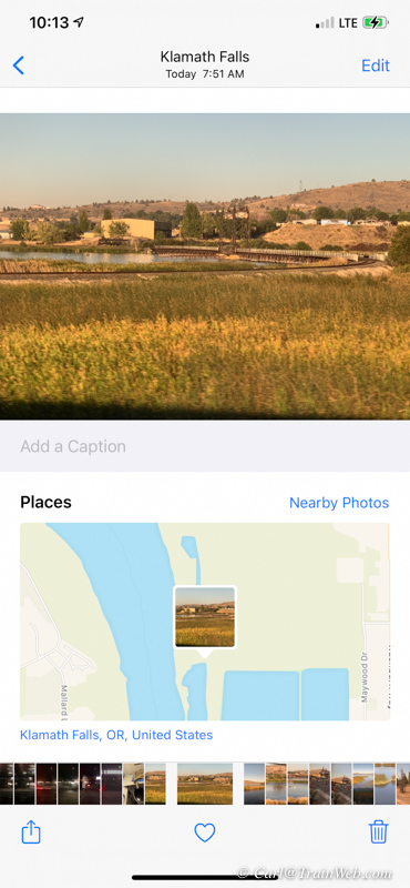 Fortunately, my iPhone keeps track of the GPS location of all photos on
a map, so I could later see that the photo was taken at Klamath Falls,
Oregon, at 7:31 a.m.
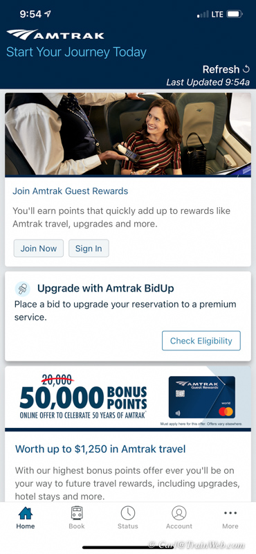

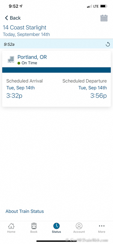
An App I like to use on train trips is AMTRAK. I use the "Status"
section (bottom center of first photo above). I input either the
Station or Train No. to see if the train is on time (center photo) and
the result of "Check Status" is shown in the right photo.
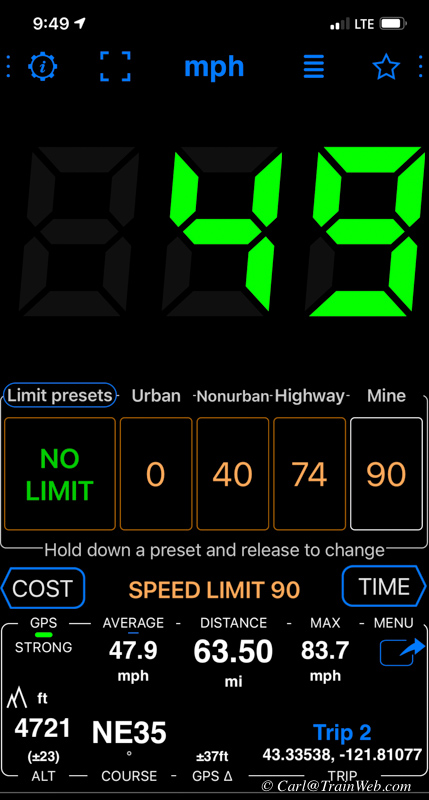
SPEEDOMETER is another App I like on train trips. Many
times you might wonder how fast the train is traveling and this app
will tell you. Also, I like to know the altitude when we are in a
mountainous area and the direction we are traveling bottom left.
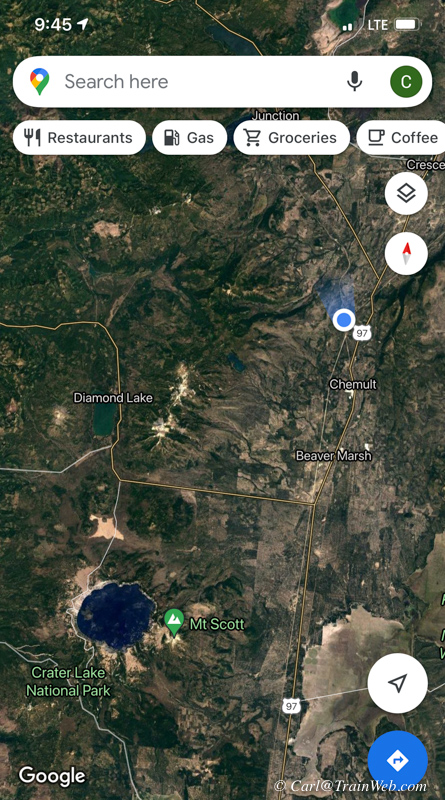 Another App I like while traveling on a train is GOOGLE MAPS. Our
location is the blue dot in the image above. We had left Chemult and I
did not realize we were northeast of Crater Lake.
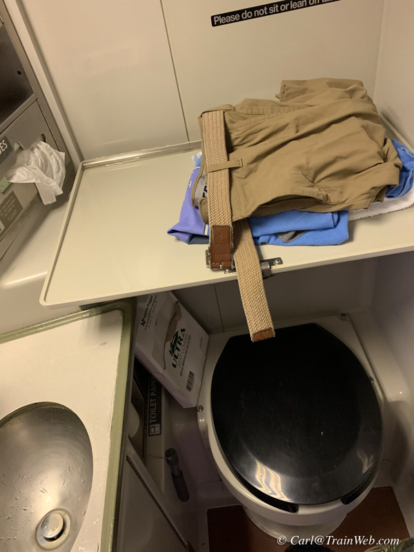 Some notes about restrooms in the Sleeping Cars.
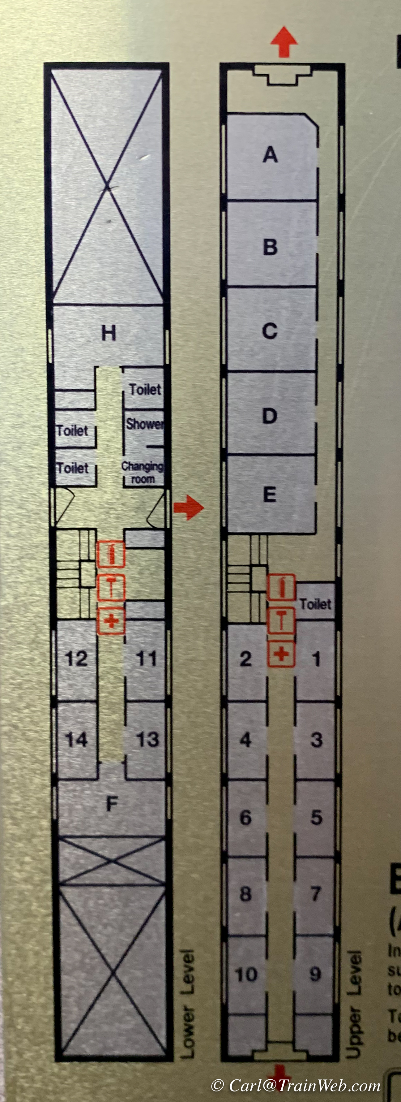 Click the image above for a larger copy
The least expensive (and smallest)
accommodations on Amtrak are "Roomettes" Shown above as 11 - 14. 1 - 10
on the upper level...perhaps better viewing and cleaner windows. They
do not include a
commode or shower so you have to go down the hall . On the upper
level there is one restroom shown above as next to Room 1 - the Car Attendant's room.
However, on the lower level there
are three restrooms (commode and sink) and a shower with dressing
room. The first restroom on the left downstairs, and the last
restroom on
the right both have a fold down baby changing table. I like to
use one of these restrooms when I am doing my morning chores because
there is no good place to set your stuff in the other restrooms.
Downstairs is also the only shower with an attached changing
room.
Take a towel with you from the luggage area upper shelf. Room H
is the
full width of the train with a commode, room to lock down a wheelchair,
and a lower and upper bunk beds. F is a Family Room also the full
width of the car with a large couch which makes into a lower bunk and 2
shorter bunks on one side and an adult sized upper bunk that folds
down. The two
"X"s are the wheels of the sleeping car. All getting on or off
the car
is on the lower level with an area for large pieces of luggage.
In the
roomette the only extra room beyond the beds is for hanging backpacks
on
hooks. Rooms A - E are 3/4 the width of the car with a large
couch
that makes into a lower bunk, an upper bunk that folds down, a chair, a
commode/shower unit with a sink on the outside of that unit.
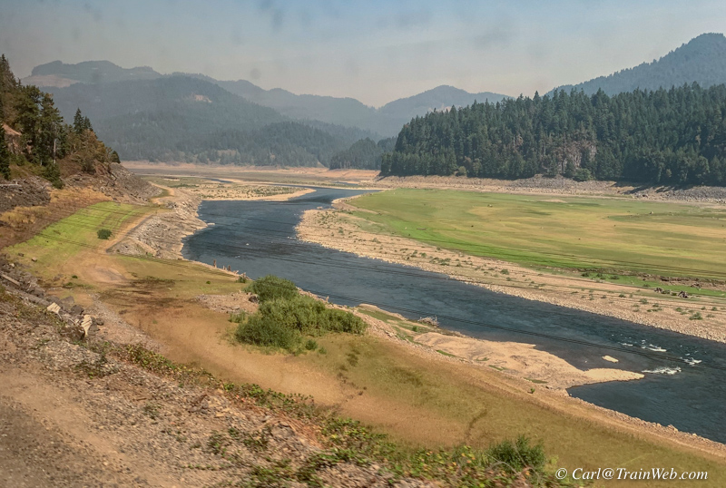
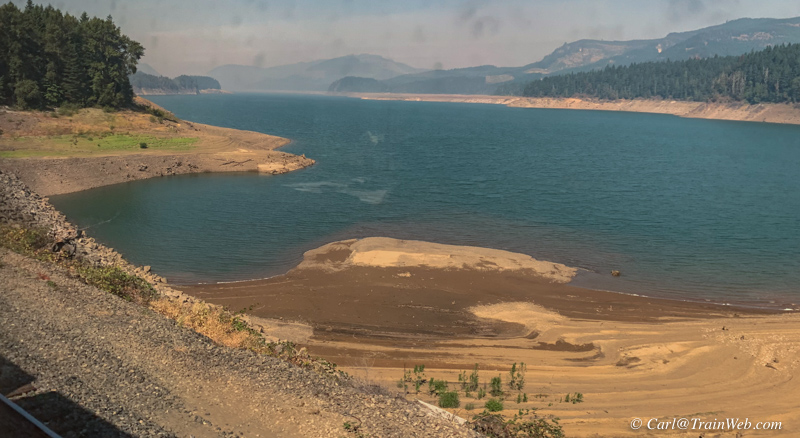
Evidence of drought in the West.
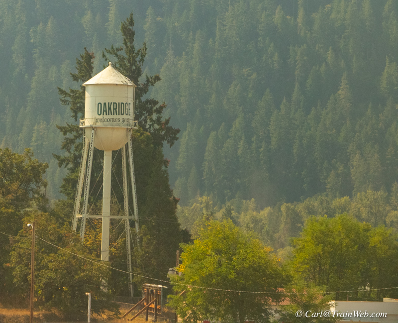
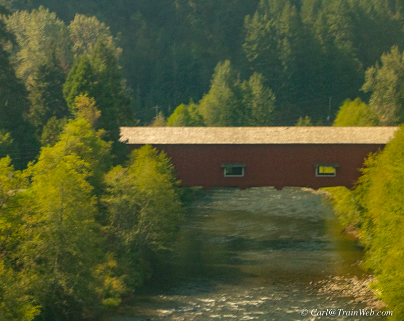
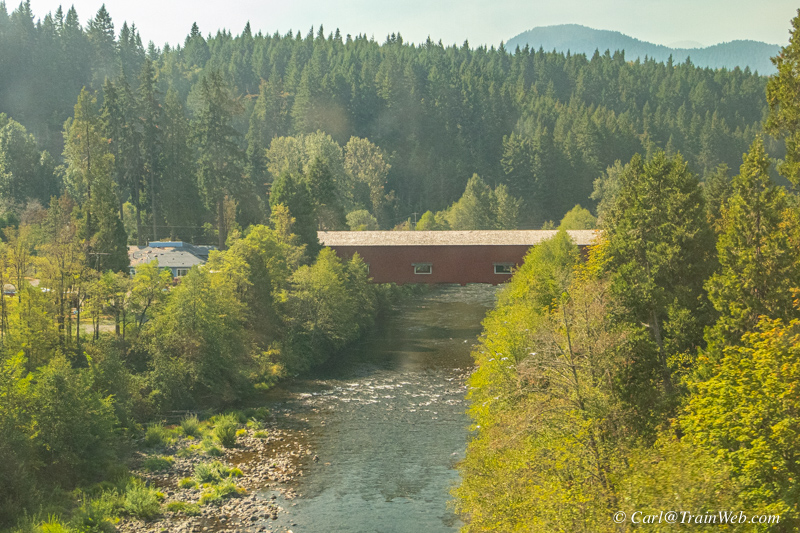
At Oakridge, I always look for this nice covered bridge. It is just past a short tunnel, on your left if northbound.
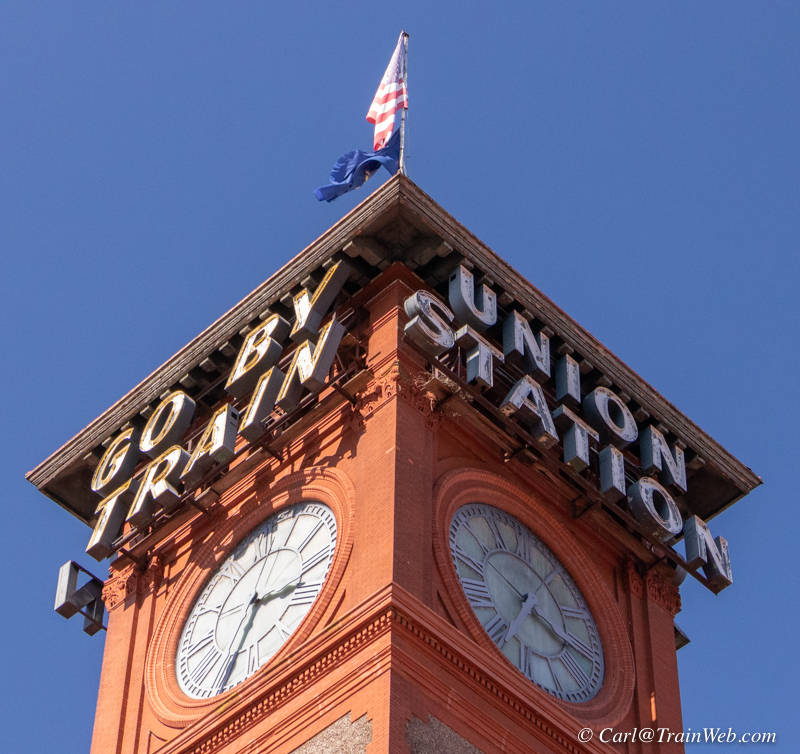
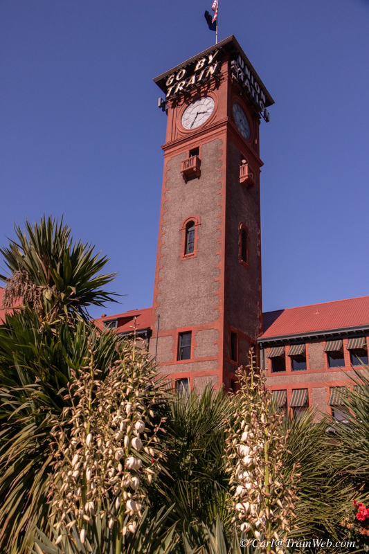
Portland Union Station
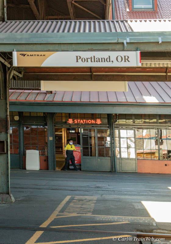
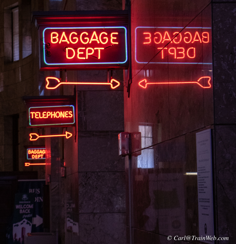
At Portland we could step off for a while. I like the neon signs in the station.
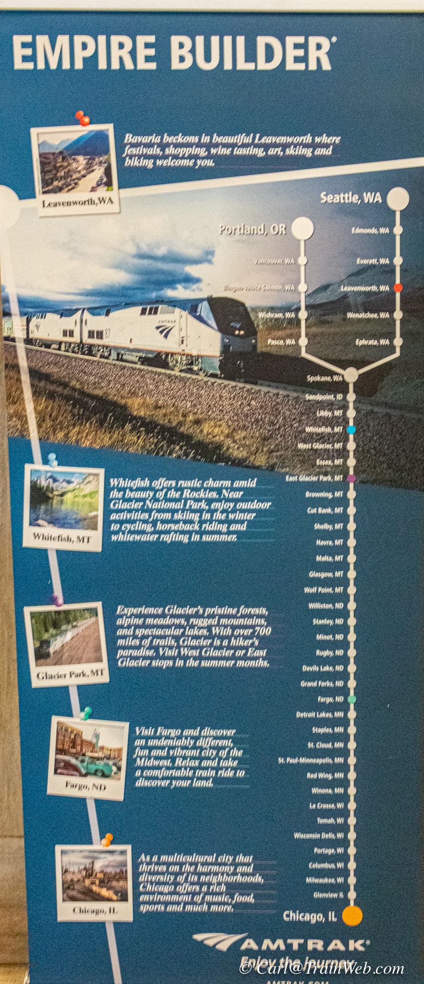

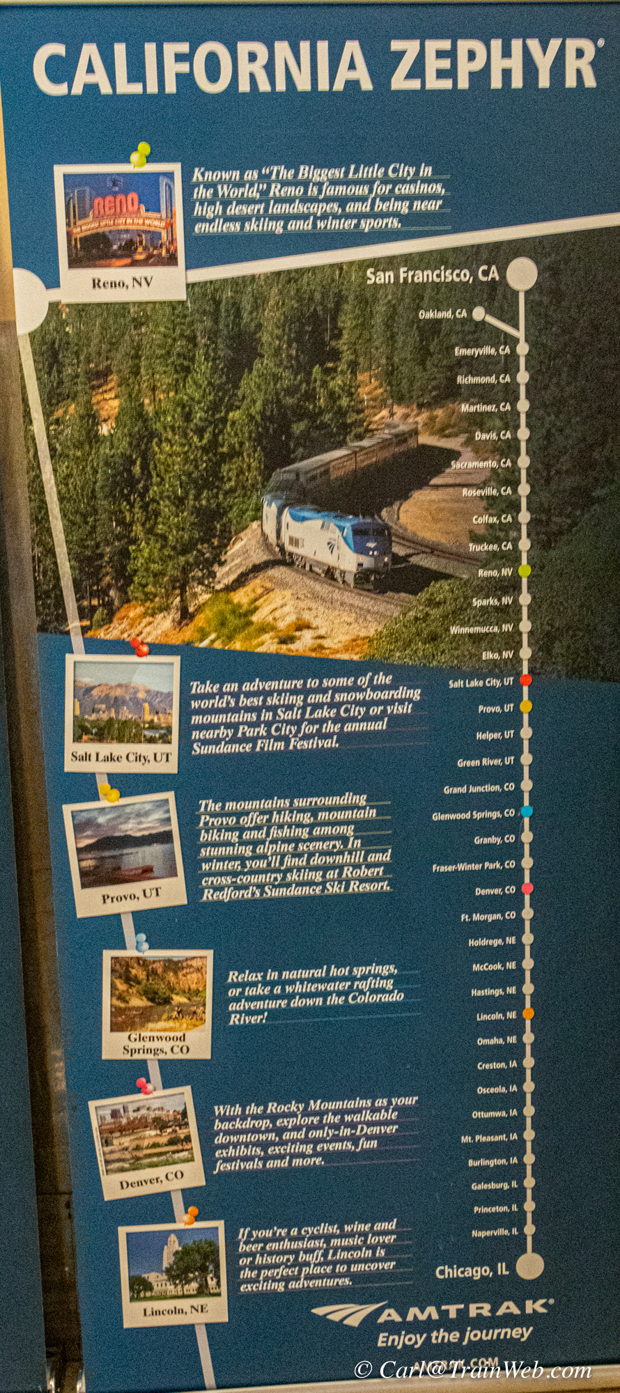
In the station I found these posters describing 3 Amtrak routes.
When there are more than one image per line, click the image for a larger copy.
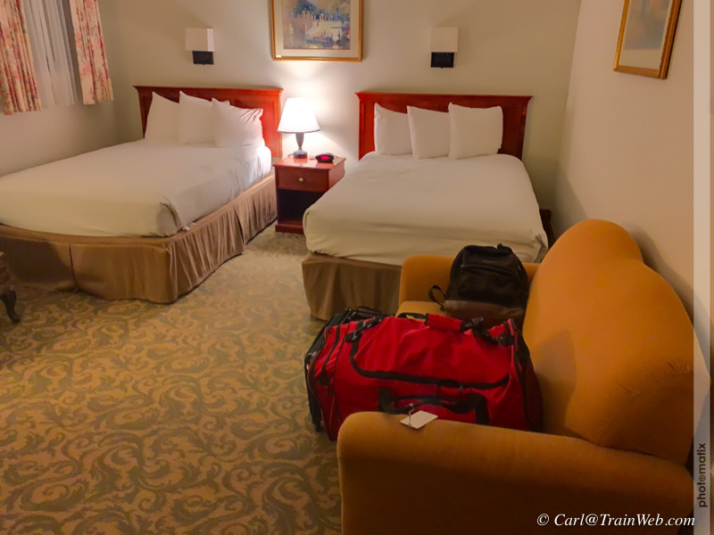
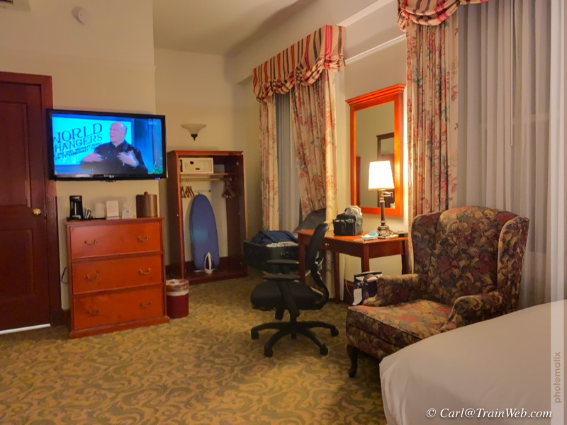
We arrived in Portland after dark and Uber delivered us to the Best
Western Plus Pioneer Square Downtown Hotel at 77 Yesler.

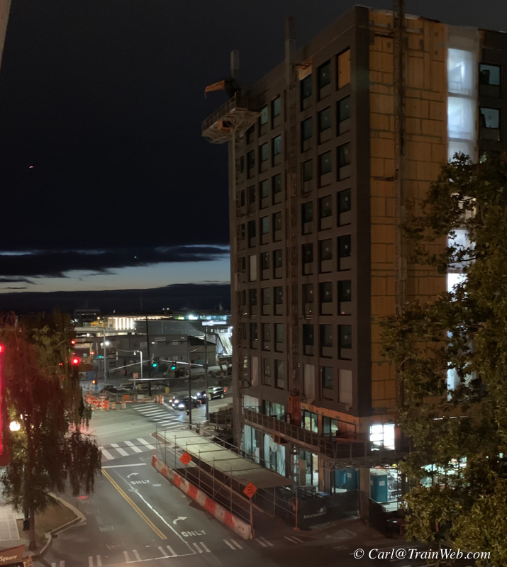
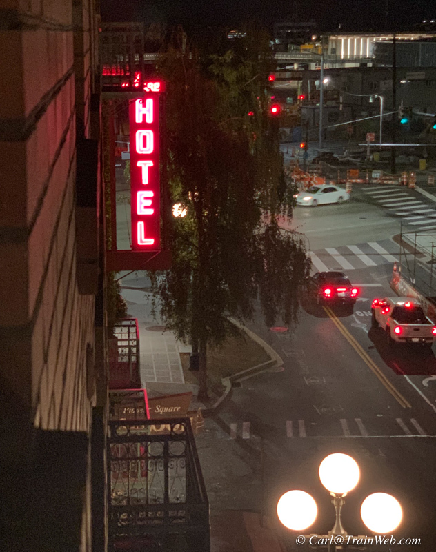
From our 412 room, left, across Yesler looking into town. On the
right is the view west from our 4th floor window with a bit of light
left in the west.
We would walk that directions to catch the Washington State Ferry round trip to Bainbridge Island tomorrow.

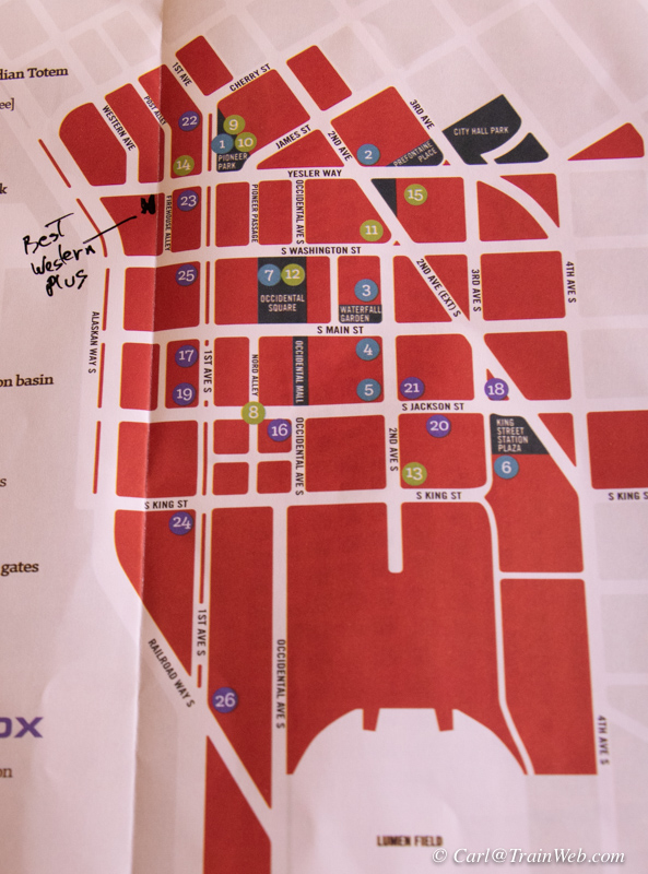
Best Western Plus Pioneer Square Downtown Hotel provides a nice breakfast including waffles!
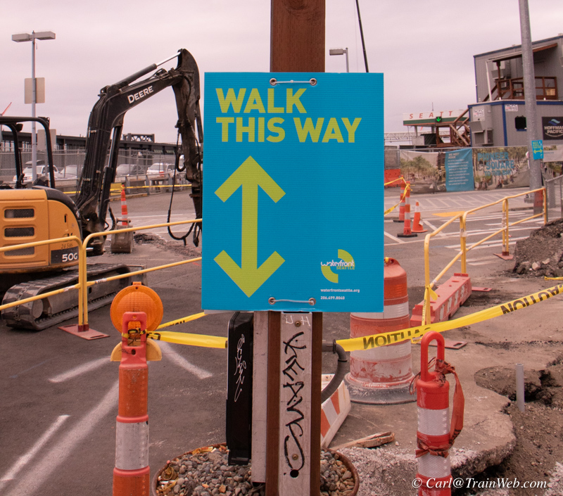
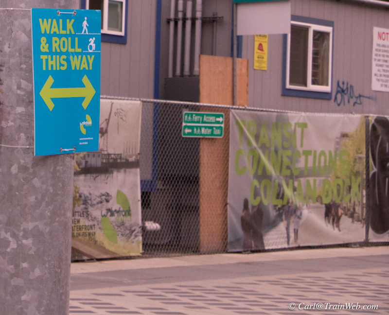
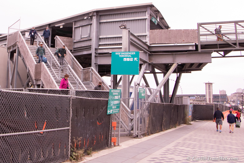 Online I had purchased Senior round trip tickets on the Washington
State Ferry to Bainbridge, only $4.50 per person round trip. Washington State Ferry Terminal is
only 1 block from the Pioneer Square Hotel through some construction,
so we were glad to see good signage for pedestrians boarding the ferry.
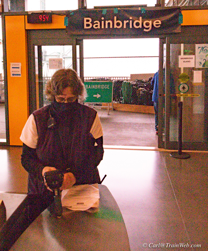
Locals ahead of us knew the routine
and boarded through the scanners quickly, but this young lady spotted
us two old tourists and came and scanned our tickets. Evidently
my printer at home was not good enough, so she had to enter the long,
long set of numbers on her scanner keyboard, but she did not accept my
apology by saying, "We do this all the time." and we boarded in plenty
of time for the 35 minute ride to Bainbridge Island.
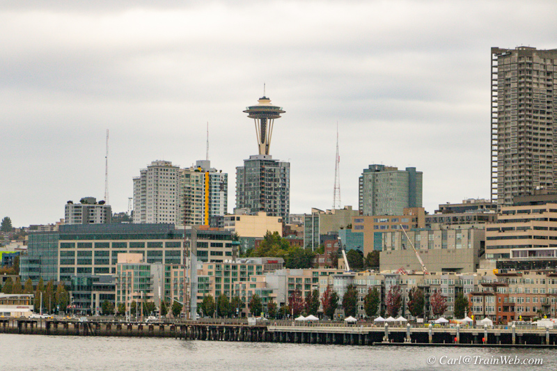
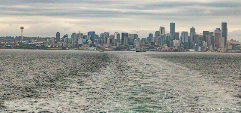
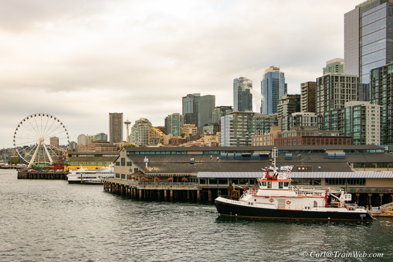 The Bainbridge ferry is a good photo platform for getting shots of Seattle's waterfront and downtown.
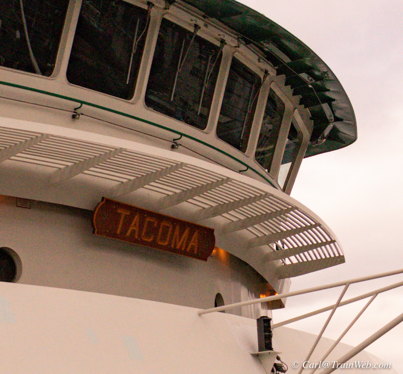
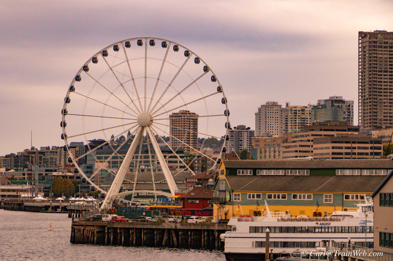 We rode the Tacoma round trip. There are two ferries that
make this run so you can board about every 40 minutes. This is
when I decided to ride the Great Wheel the next day.
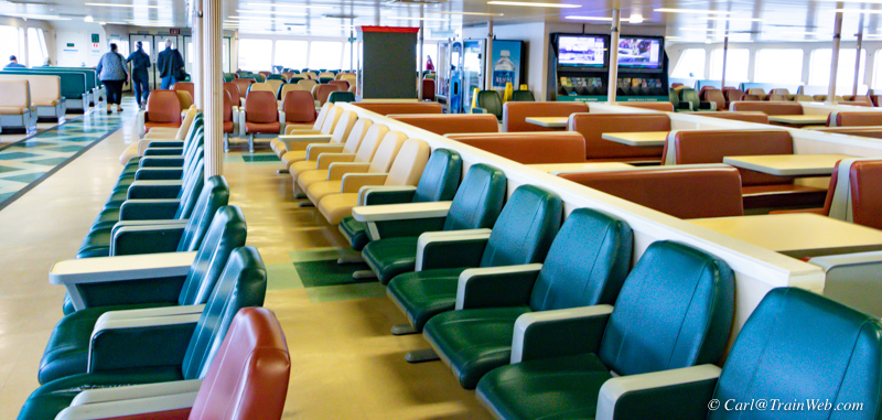
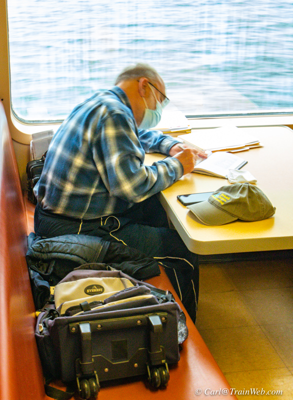
Occupancy was very low, but Don found a table for his project reading.
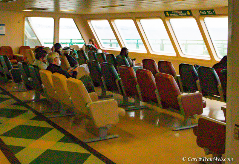
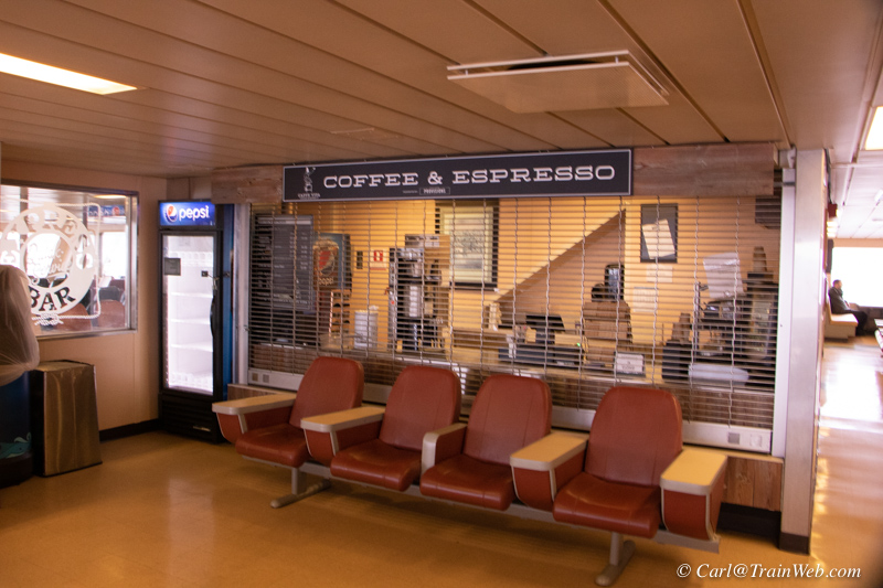
The coffee shop and cafe onboard were not open, so it was good that we had coffee and breakfast at the hotel.
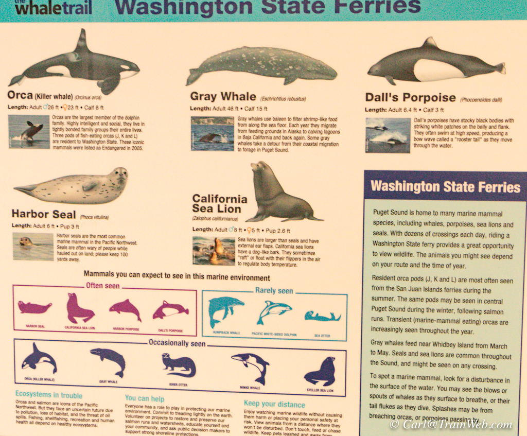
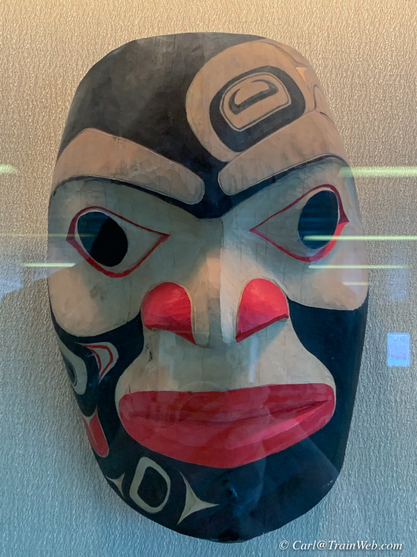
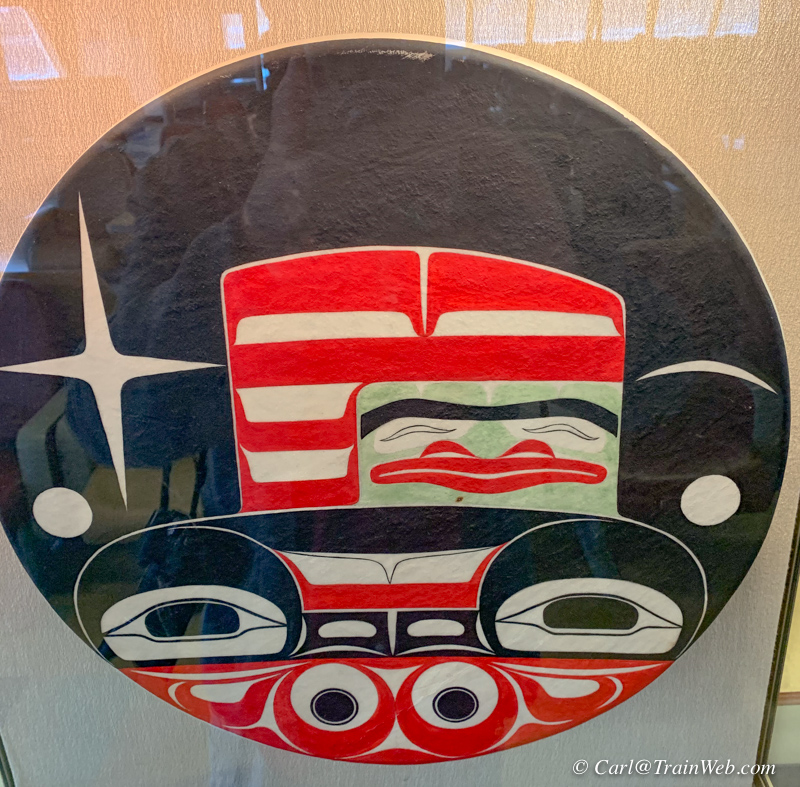
Always interesting displays on board.
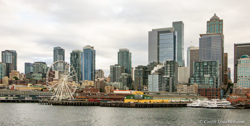
Plenty of scenery outside to photograph.
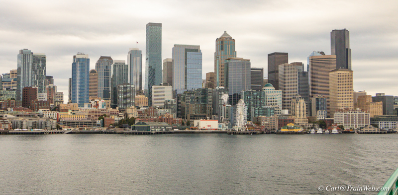
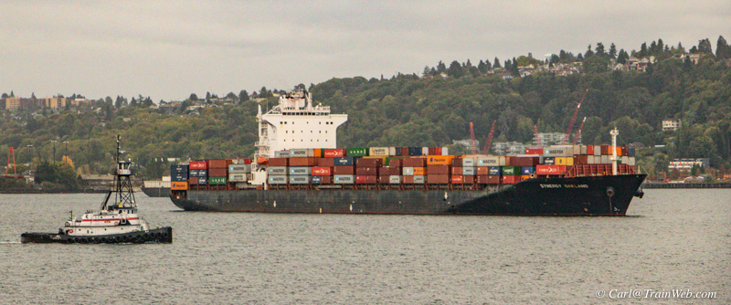

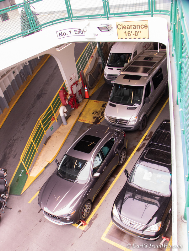
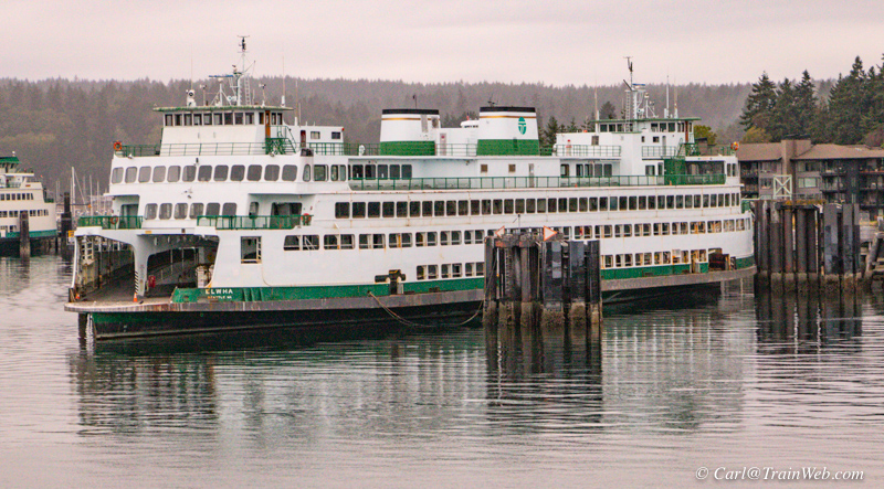
Approaching Bainbridge cars and passengers get ready to unload or
load. Even though we had a round trip ticket, we could have
walked into town, since everyone has to get off, we walked off and back
on giving us a little exercise.
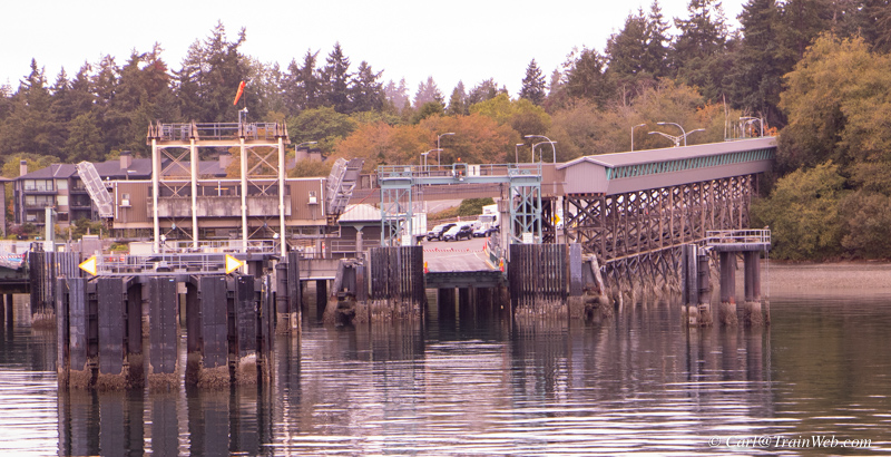
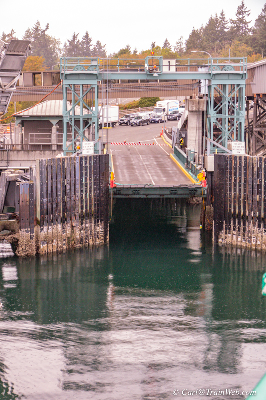
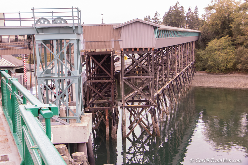
Pedestrians use the long elevated walkway on the right side of the photo above
left. Autos use a 2-lane ramp first to unload, then to load
vehicles.
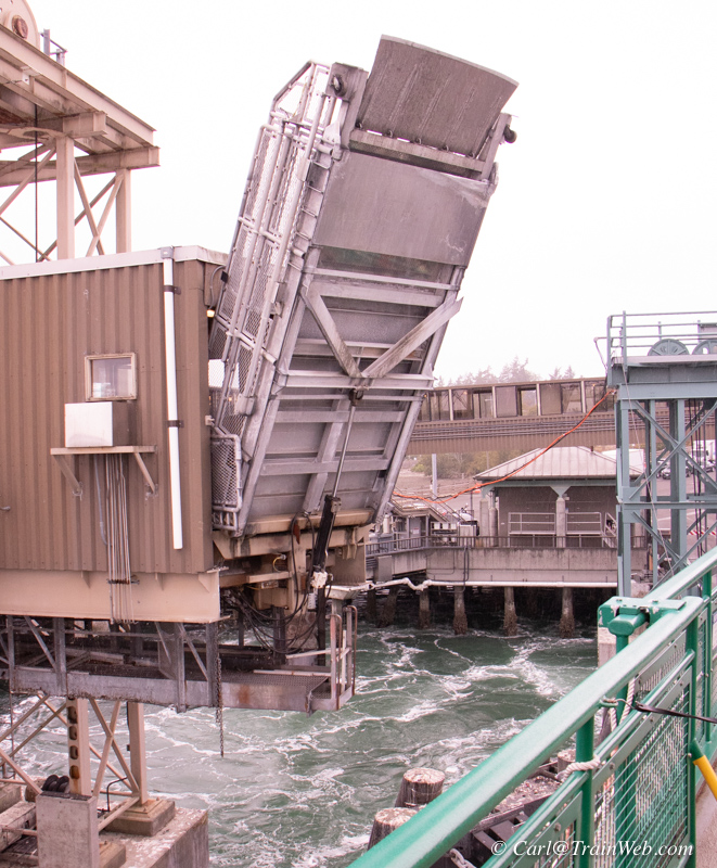
The ramp is let down on the top deck of the ferry for us to walk on to
get to the elevated pedestrian walkway so cars could move below us.
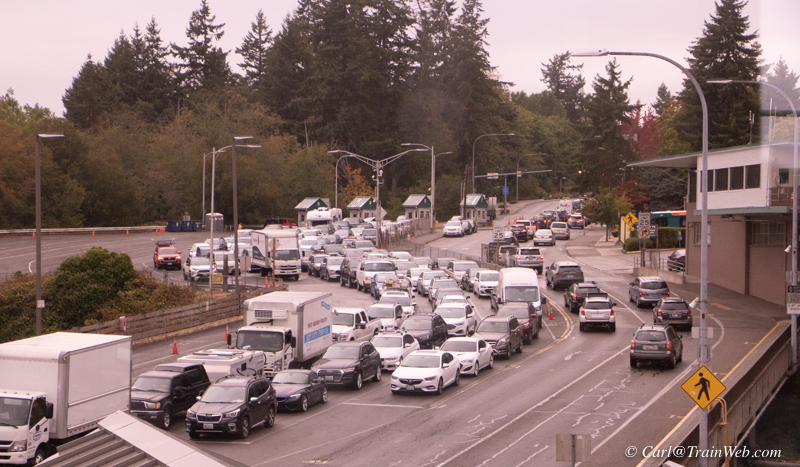
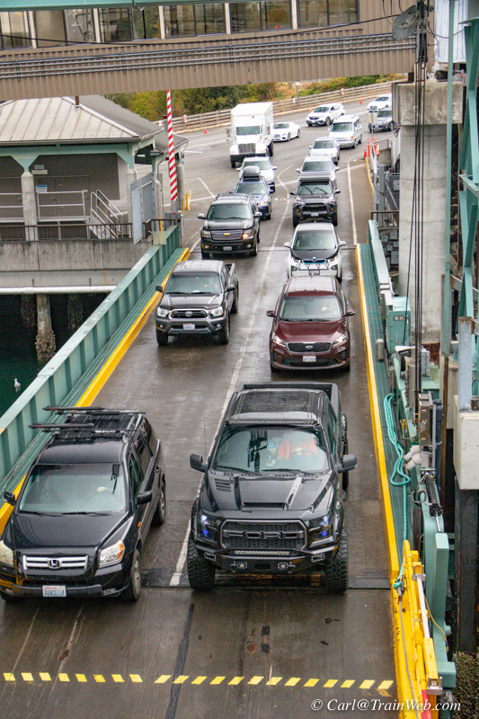
Above, cars leaving the ferry on the right, those to be loaded await on the left. Loading taking place on the right photo.
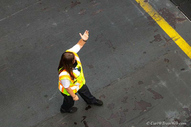
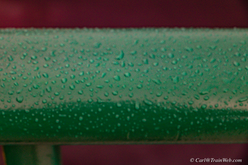
This lady put cars to the elevated side and trucks down the middle. The railing show how light the "rain" was.
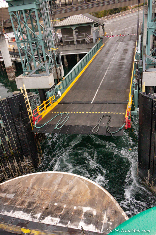
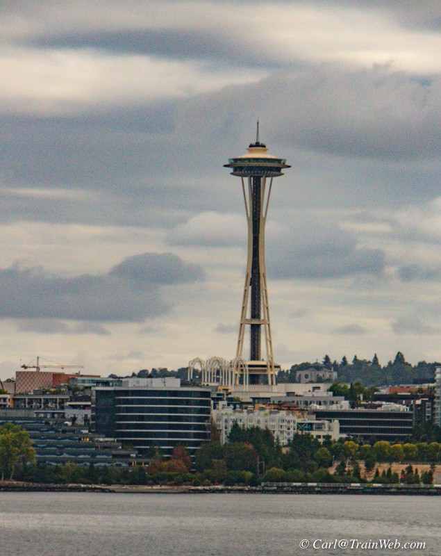
Soon we were off and after some time in the middle of the bay, we came within shooting distance of Seattle again.
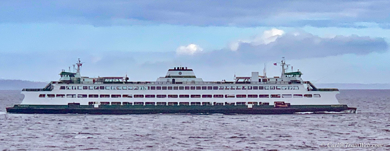
We passed our sister ferry at each crossing and this is what our ferry looked like.
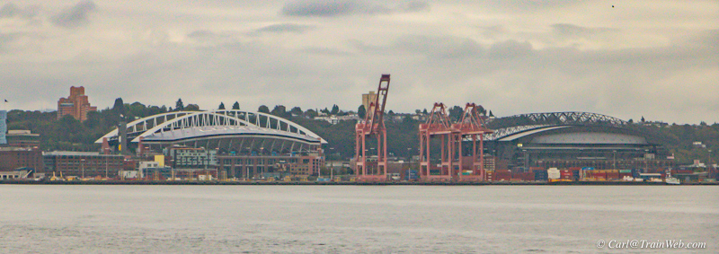
Having tickets to a Seattle Mariners game the next day, I asked a local
passenger which stadium they played in and they said the one on the
right, T Mobile Stadium.
The Seattle Seahawks play in the stadium
on the left. Both have movable roofs.
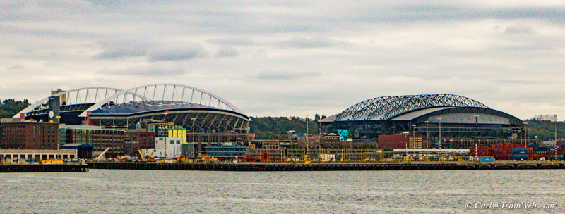
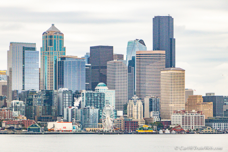
Plenty of photo opportunities as we near Seattle.
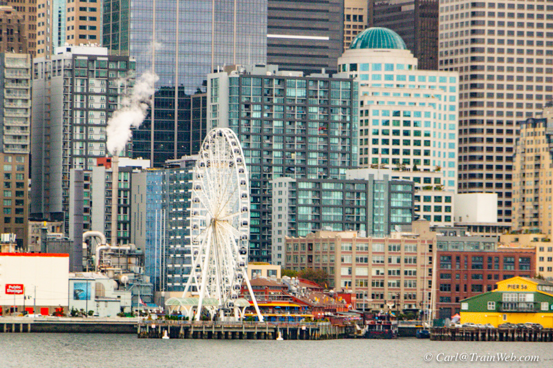
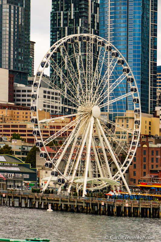
I planned to ride The Great Wheel the next day.
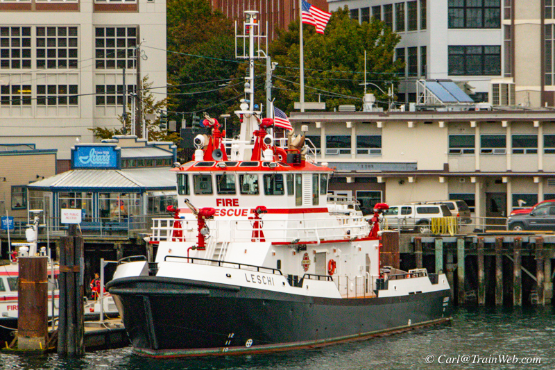
I like to photograph things of interest for my friends. Kathy
Ramsey likes bicycle photos. Gary Hess likes fire apparatus.
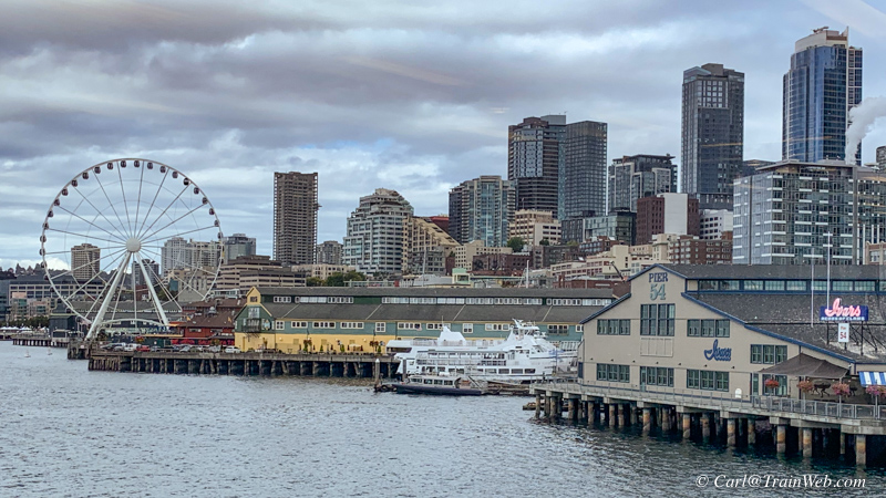
Returning is a second chance for a photo and the light might have changed.
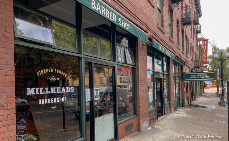
Our hotel at 77 Yesler and the adjoining barbershop where Uber wanted to pick us up for the Mariner's game.
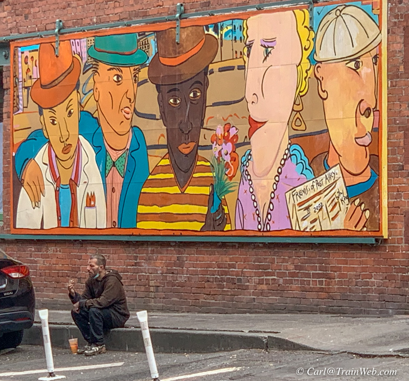
Across the street is this mural and a homeless man. If you want a tour of America's homeless accommodations, take a train.
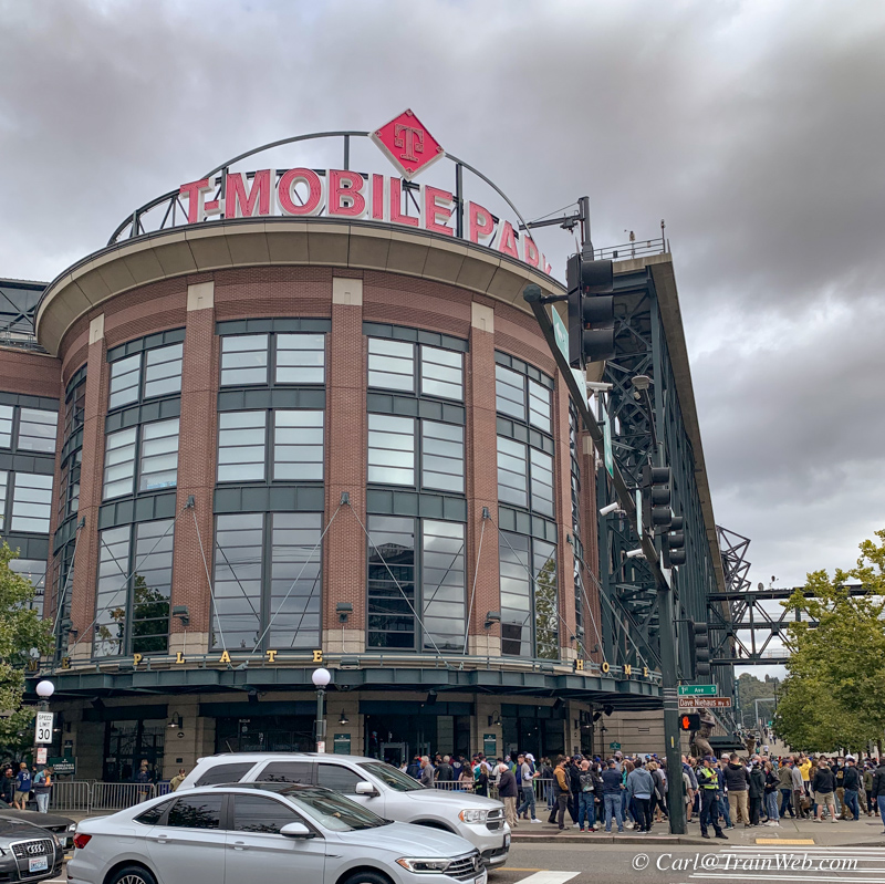
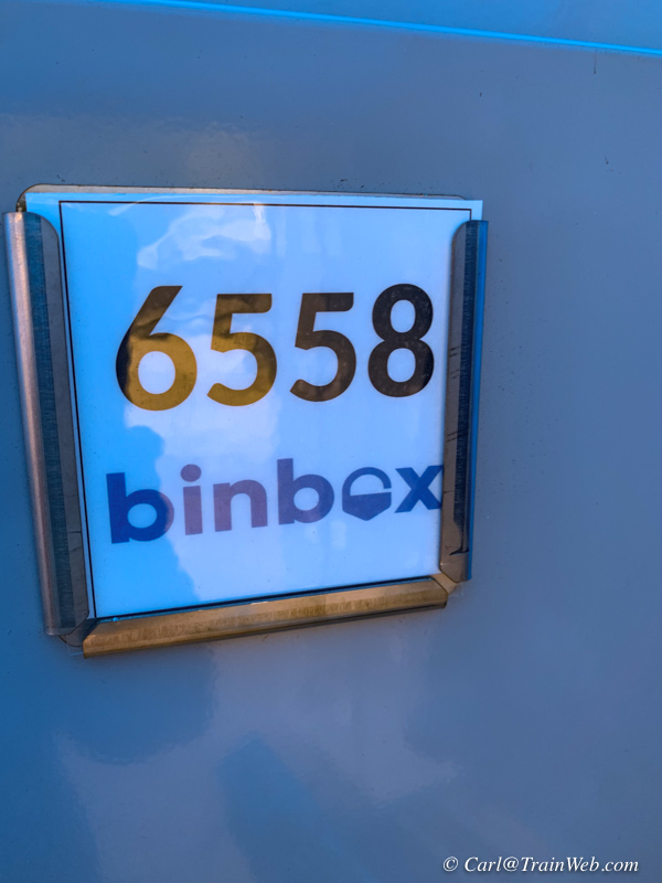
We had tickets to a Seattle/Boston
baseball game and left above is the main entrance to T-Mobile
Stadium. The binbox photo is here because Don and I both had
taken backpack or satchel to the game, but learned that neither was
allowed in the game. They directed us to a temporary locker set
up across the street. The finances for his system was handled
online. In case you find this situation at a game, you
might be ahead of the game by having the app already downloaded
to your phone. It cost $10 for a locker for both our bags.
 We had excellent, high seats behind home plate which we had obtained online from home.

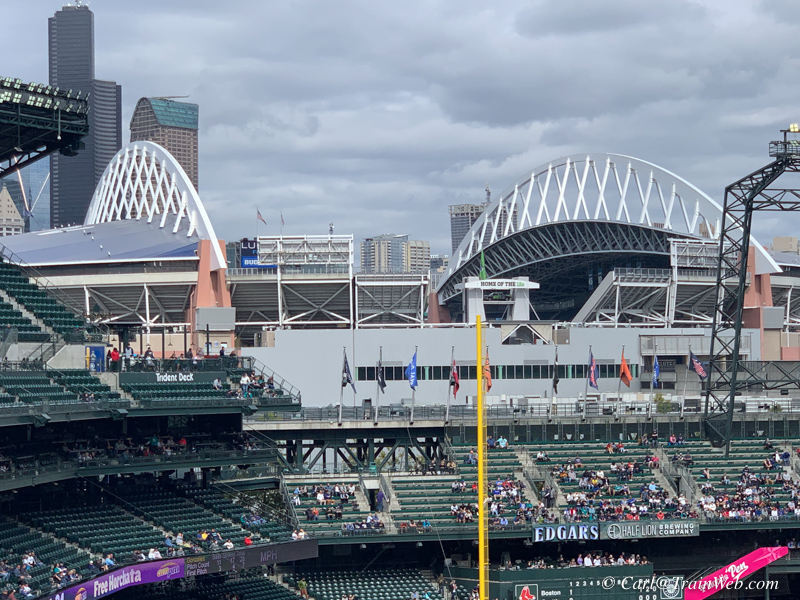 From the refreshment area on the top deck one could see the adjacent Seahawks stadium.
 The Mariners caught up in the 3rd inning and stayed tied for several innings.
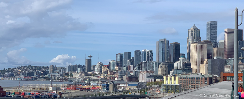
T-Mobile Stadium is a good place to photograph downtown to the north.
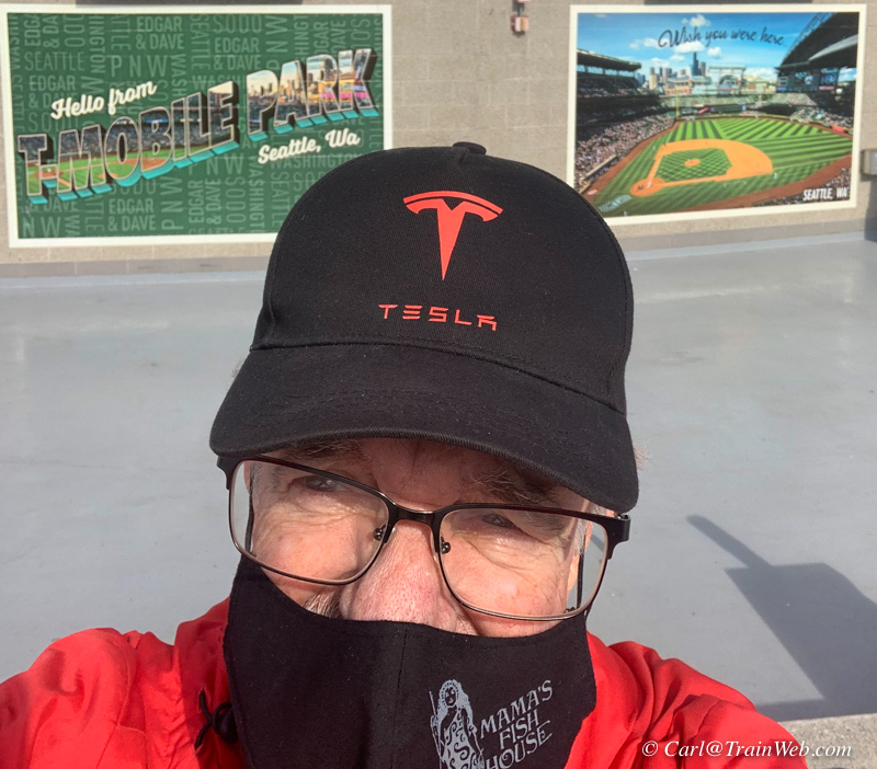
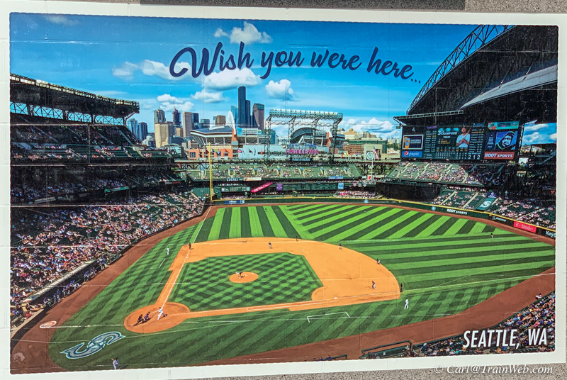
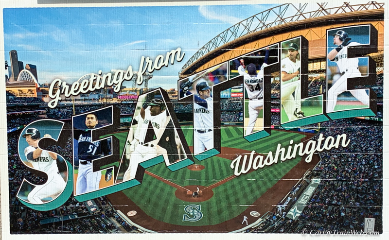
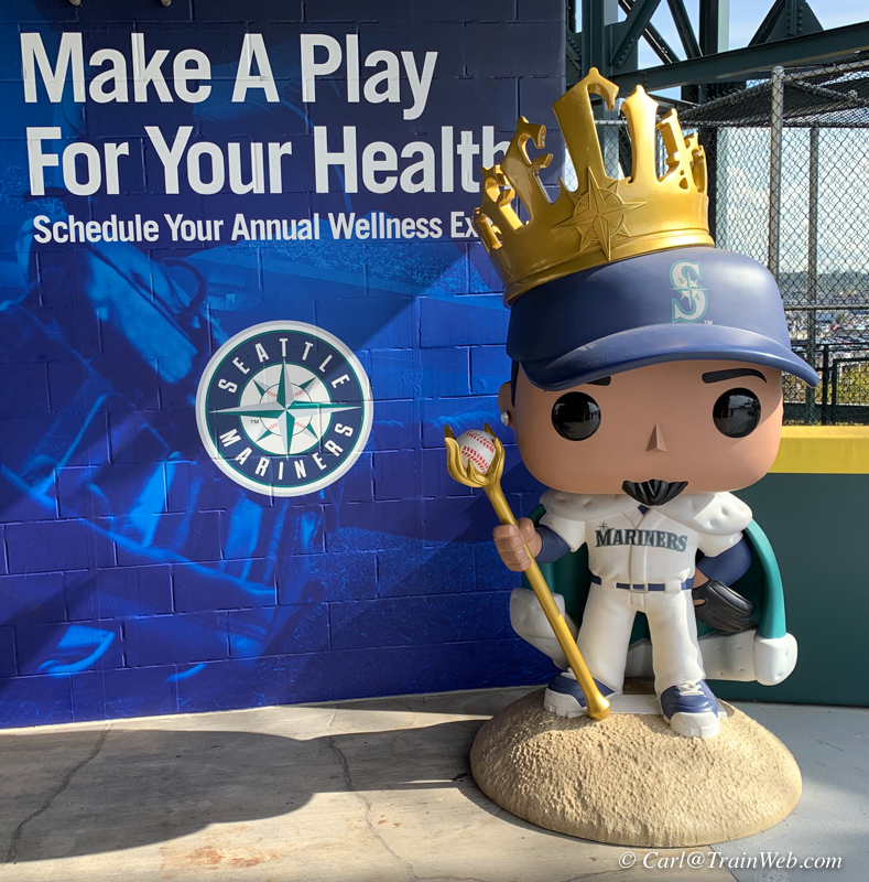
In the refreshment area on the top deck, they had some interesting displays.
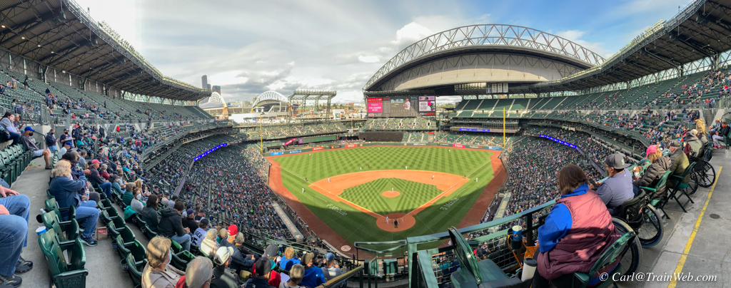
As we left, I took another shot including handicapped seating on this level.
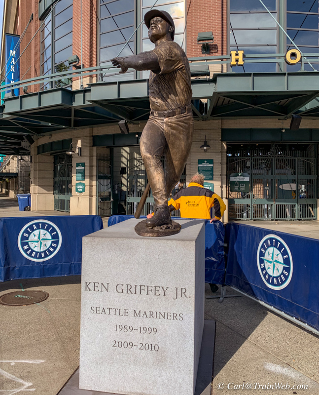
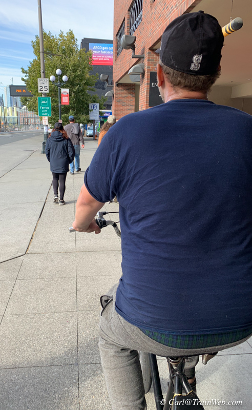
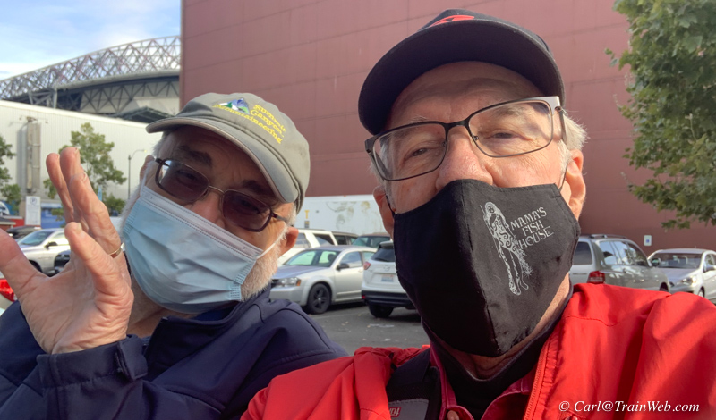
We started to walk to our dinner spot, 13 Coins near the station, but reasoned a mini-cab ride would be better.
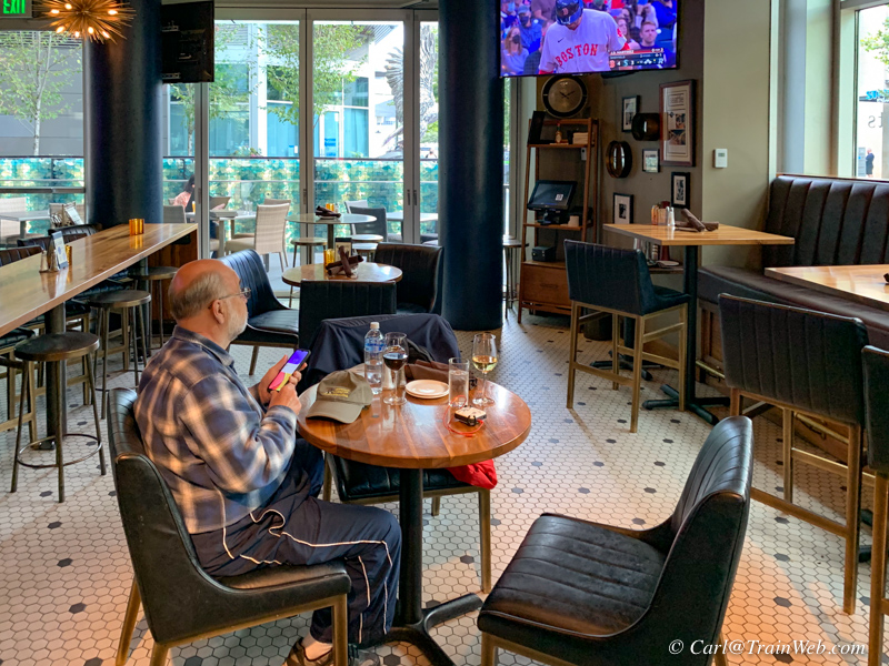
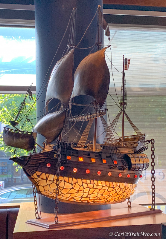
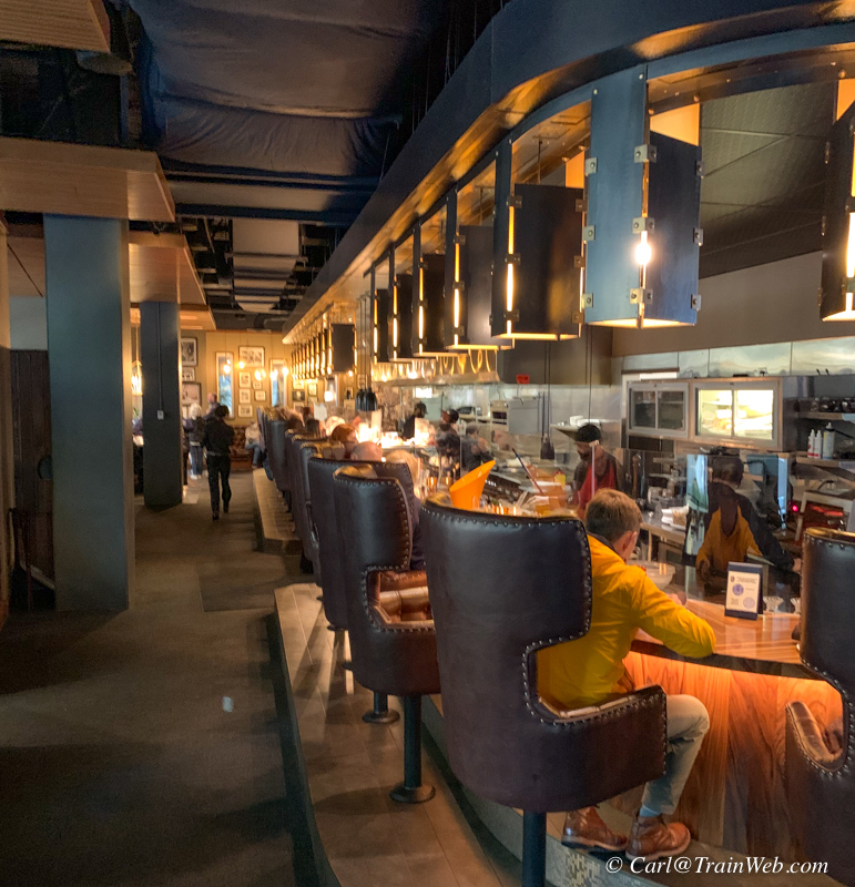
It was happy hour so we opted for
seating in the bar where we watched the finish of the game...Boston
won. 13 Coins is just steps from King Street Station, so we have
often stopped in here before or after Amtrak trips.
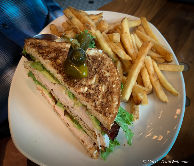
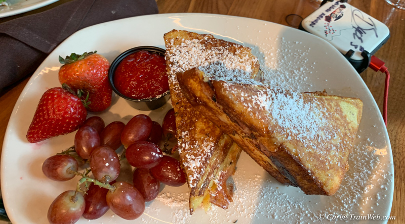
Our enrees at 13 Coins.
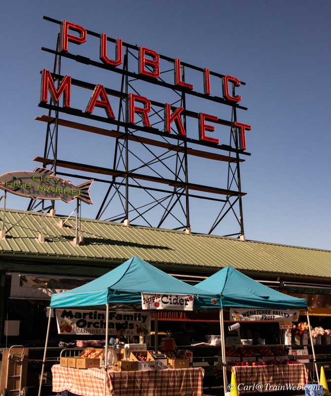
Our second day in Seattle, we had
until 4:40 when we would board the Empire Builder for Glacier, I took a
walk from Pioneer Square to Pike Place Market for some photos. It
was uphill following Western Avenue with a return past the Great
Wheel...a 5-mile walk that I would feel in my legs 2 days later.
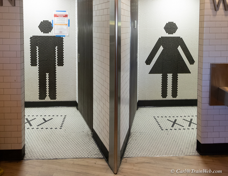
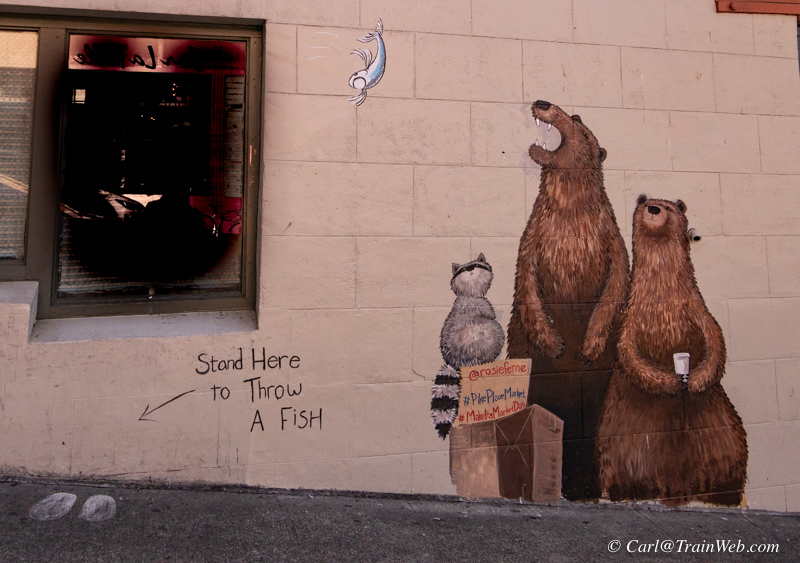
I
I entered from the bay side and found the restroom marked uniquely as well a drawing on the outside of a nearby building.
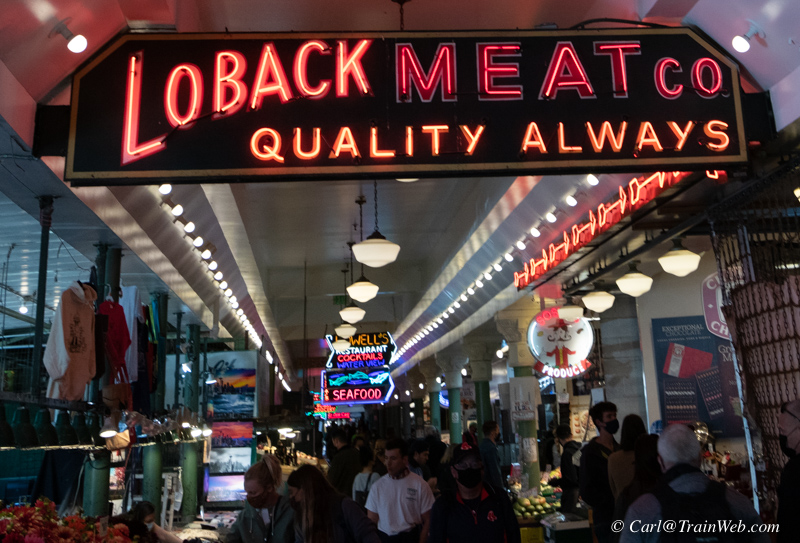
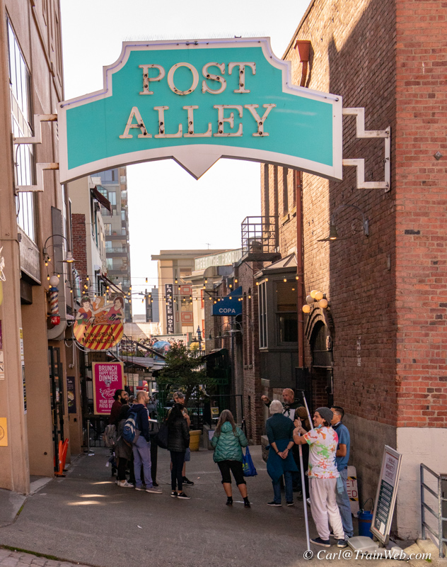
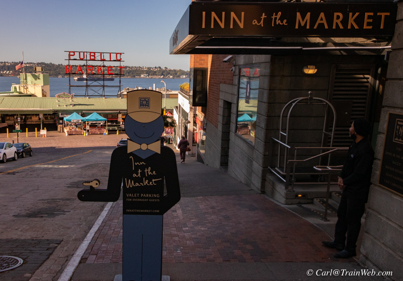
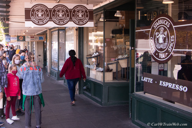

The
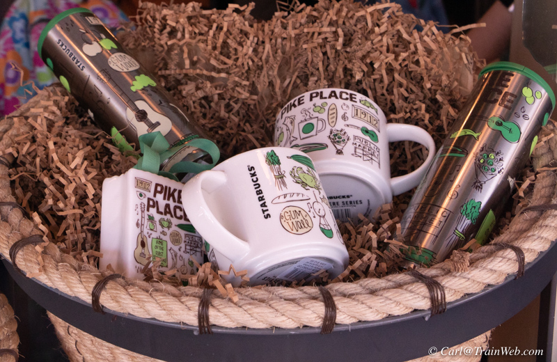
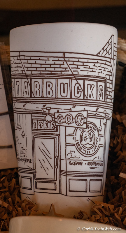
original Starbucks is here. Quite a line, so I took photos of the
display windows and moved on to the Starbucks a block away for my
purchases.
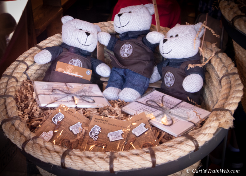
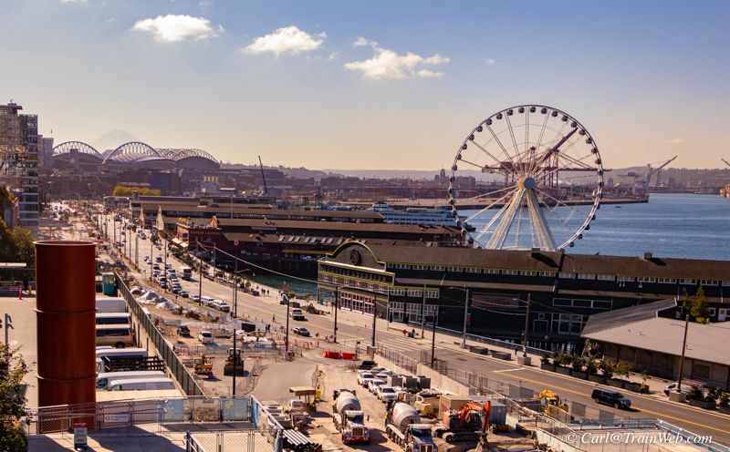
View of Seattle piers from Pike Place Market.
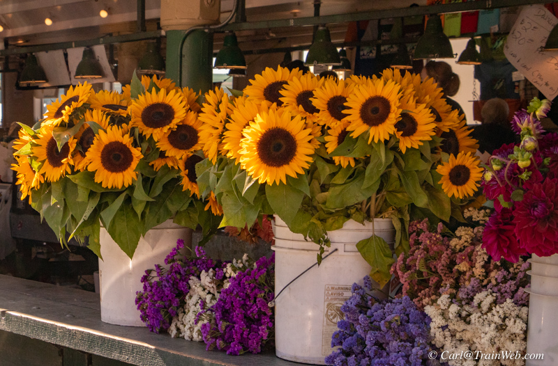
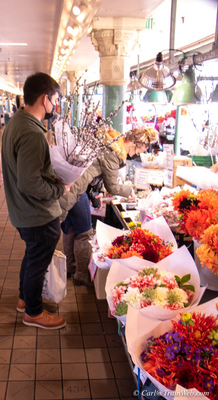
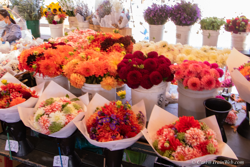
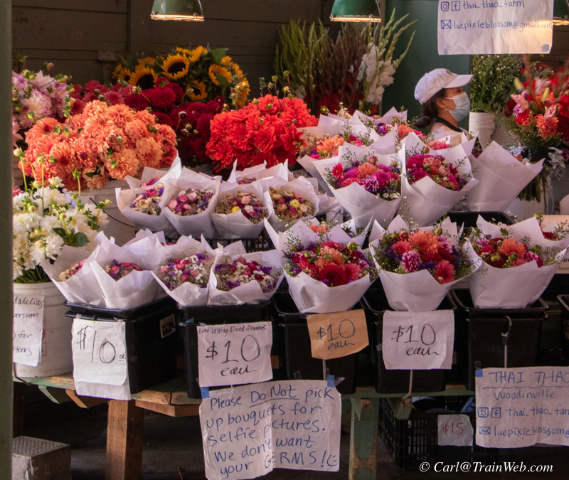
Newly wed couple shopping for flowers
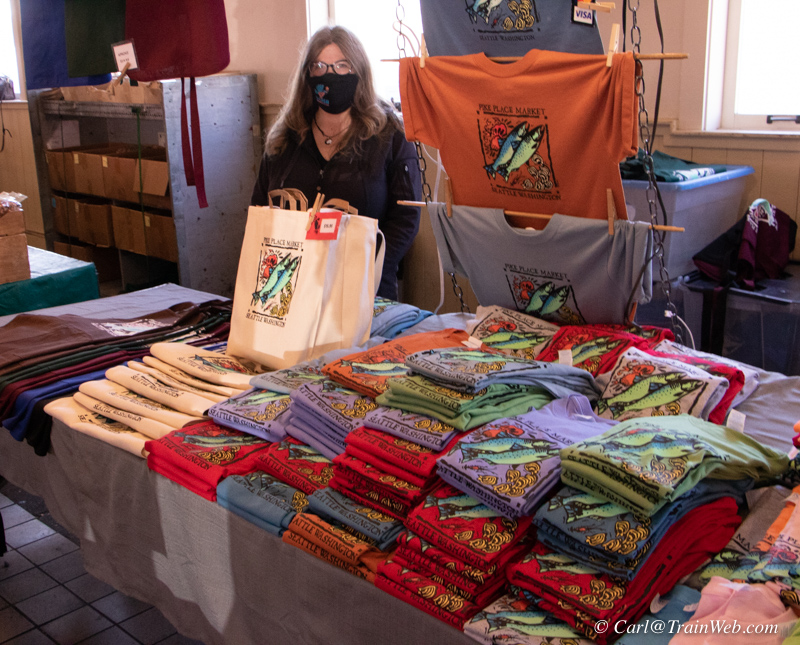
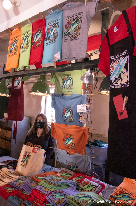
Jennifer runs this shop for her friend. I purchased something for Sue from here.

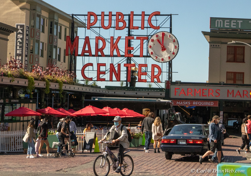
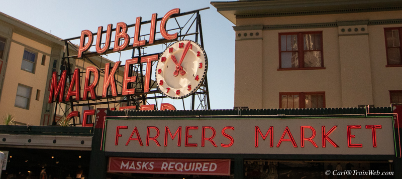
The southern entrance is probably the most photographed entrance.
Red umbrellas added since my last visit makes for a nice leading line photo of the clock sign.
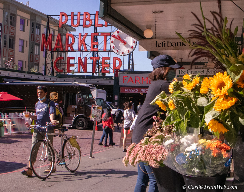
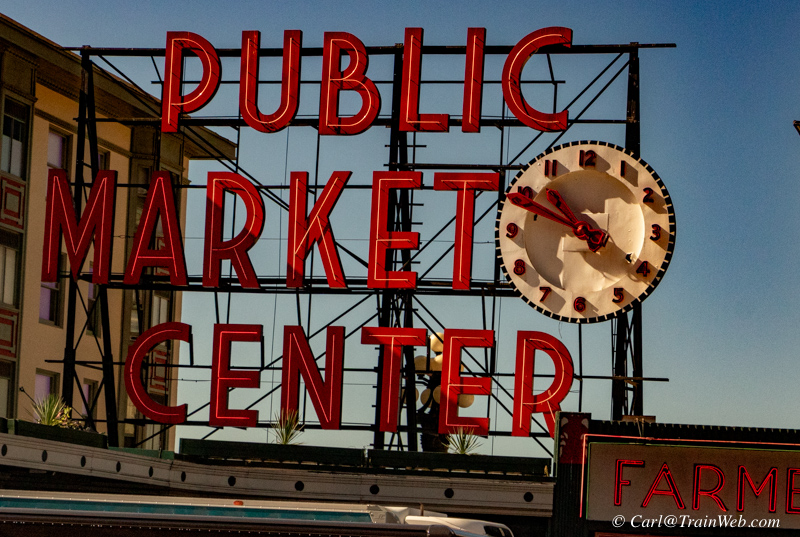
The image above with the flowers is probably the most iconic with a bike rider holding a Starbucks and wearing a COVID mask.
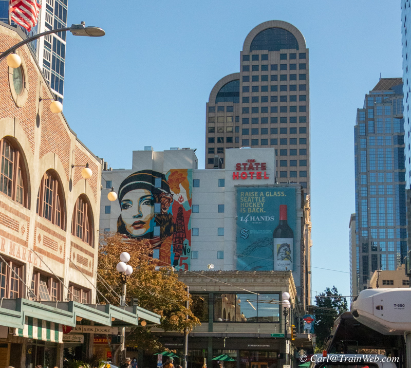
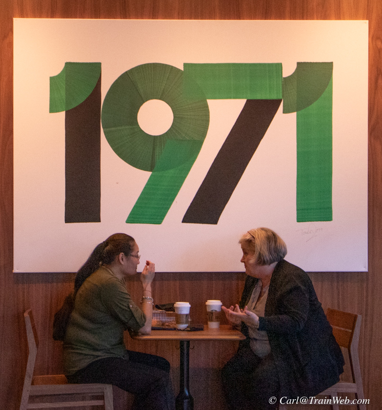
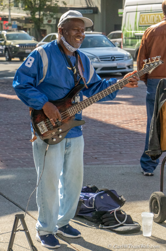
One block east is another Starbucks if you do not want to buck the
line. "Musician" outside - I considered tipping him NOT to play
for a while.
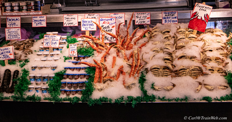
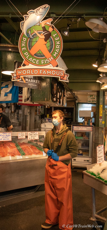
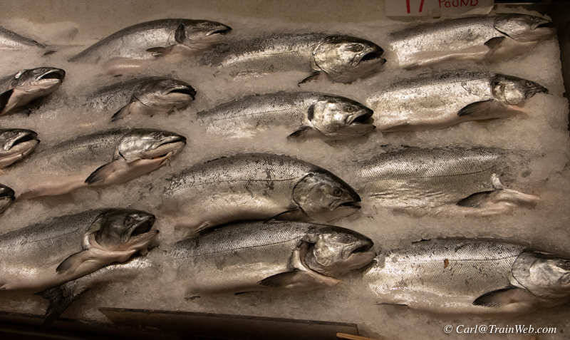
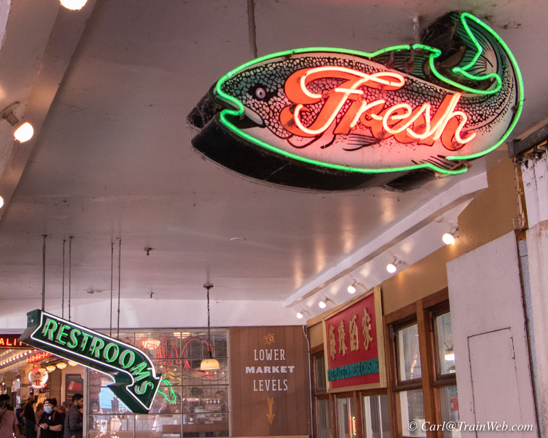
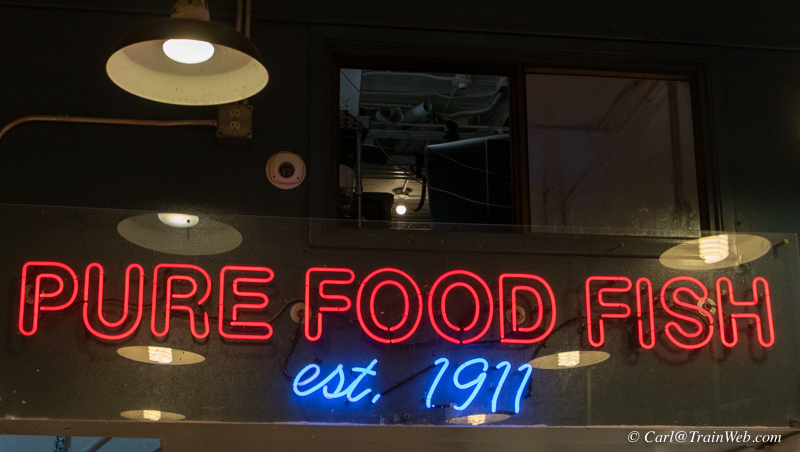
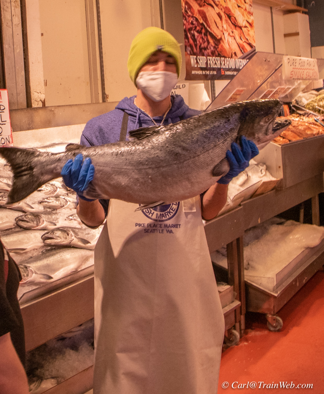
Under the clock is the famous fish market. Other fish markets in Pikes Place are more reasonably priced.
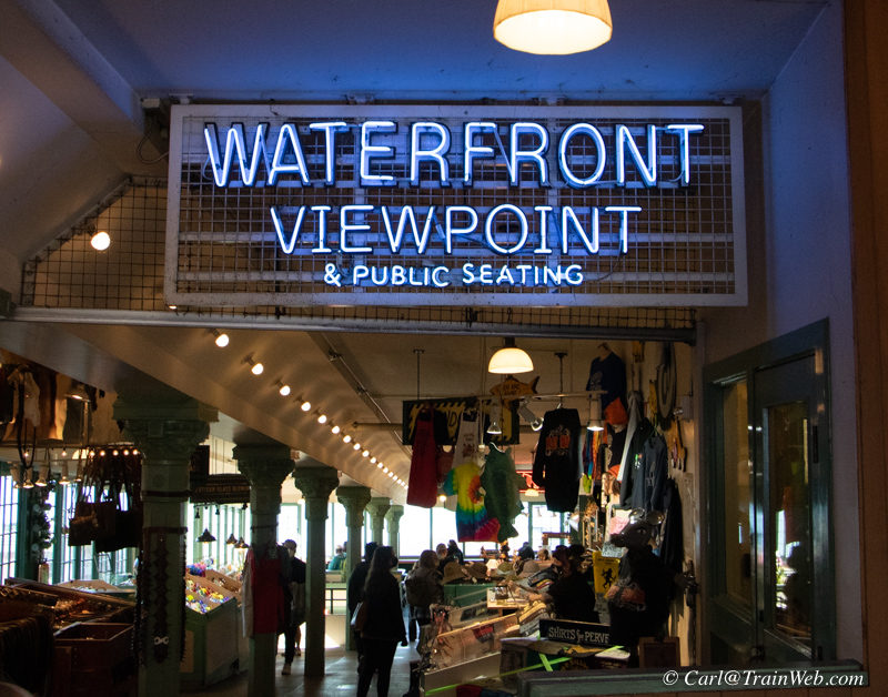
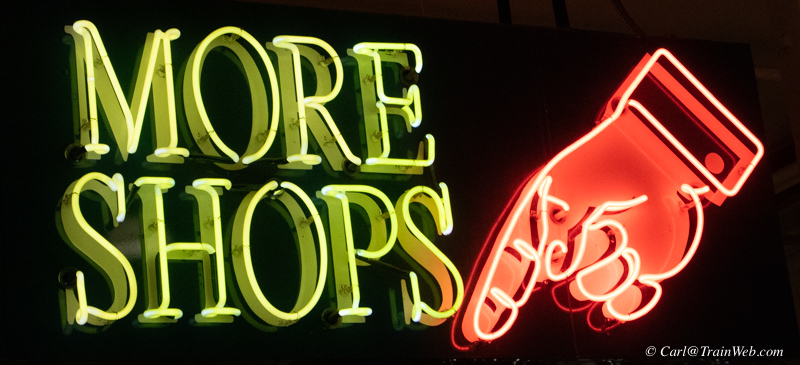
Back down through the market and out the west side headed for the Great Wheel.
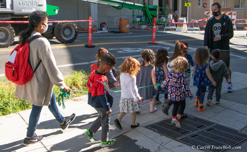
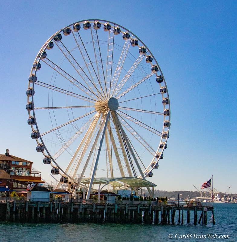
On the walk from Pike Place Market to the Great Wheel
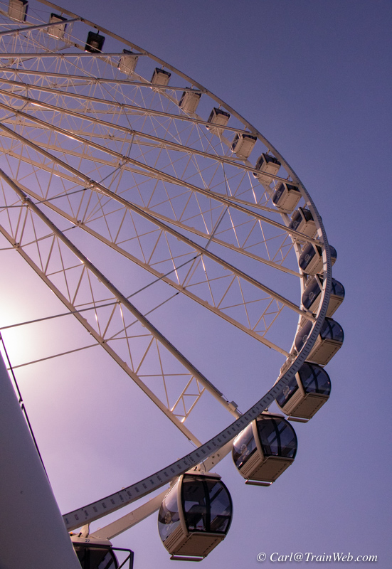
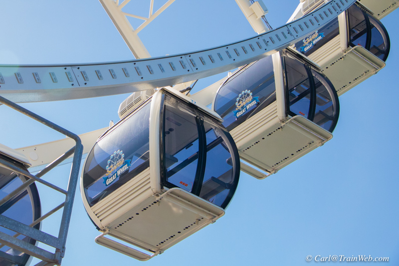
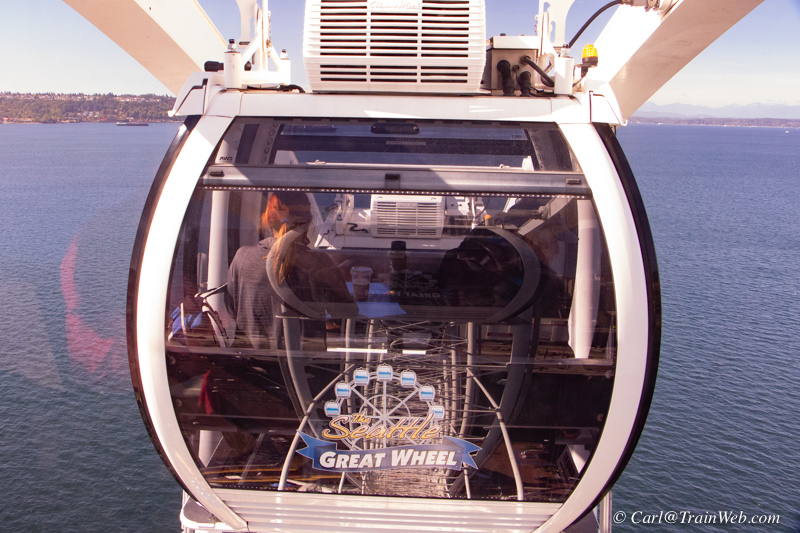
Waiting for my 12 - 20 minute ride. Price $16, Sr. $14.
Each gondola seats 8 people on 2 benches on each side of a table in the
middle. I had a gondola to myself.
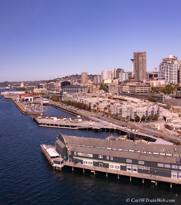
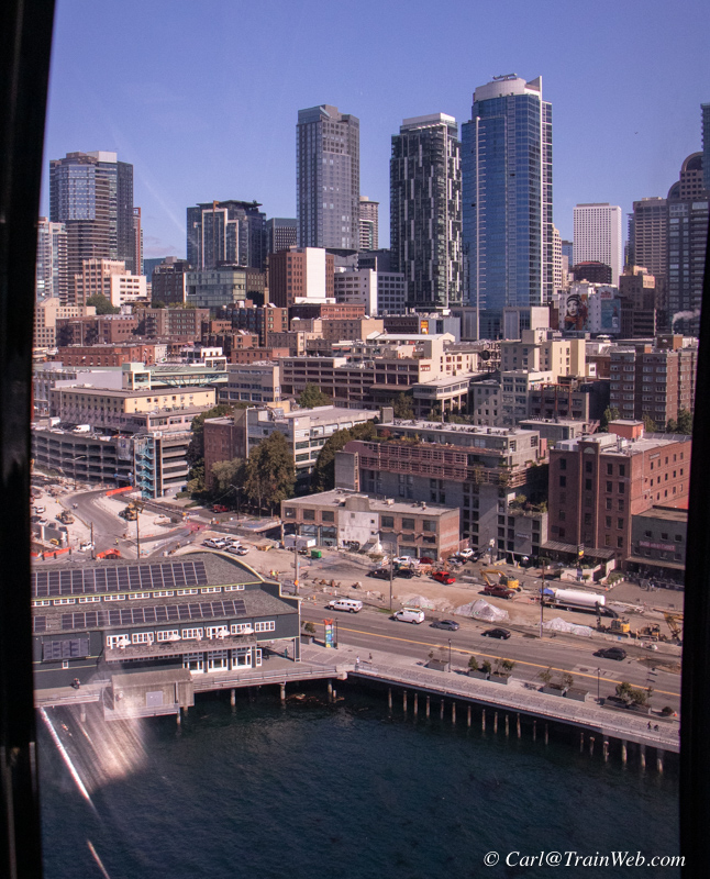
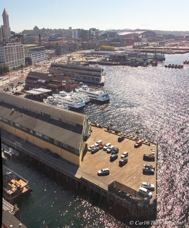
There are 3 complete revolutions in the ride, plenty of time for photos in all directions.
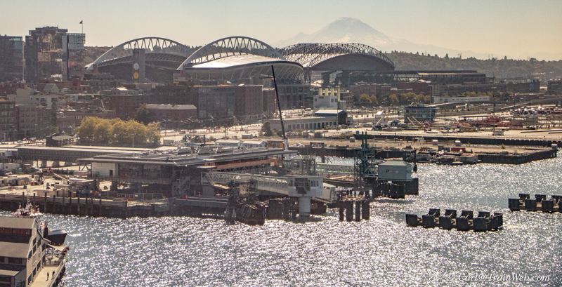
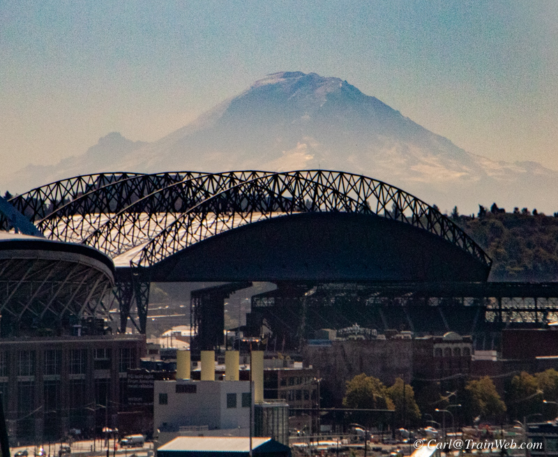
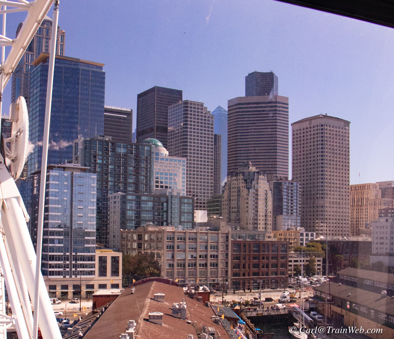
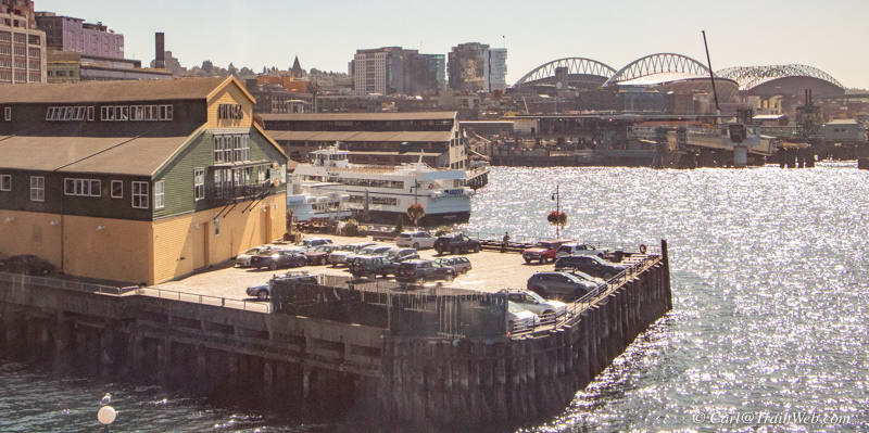
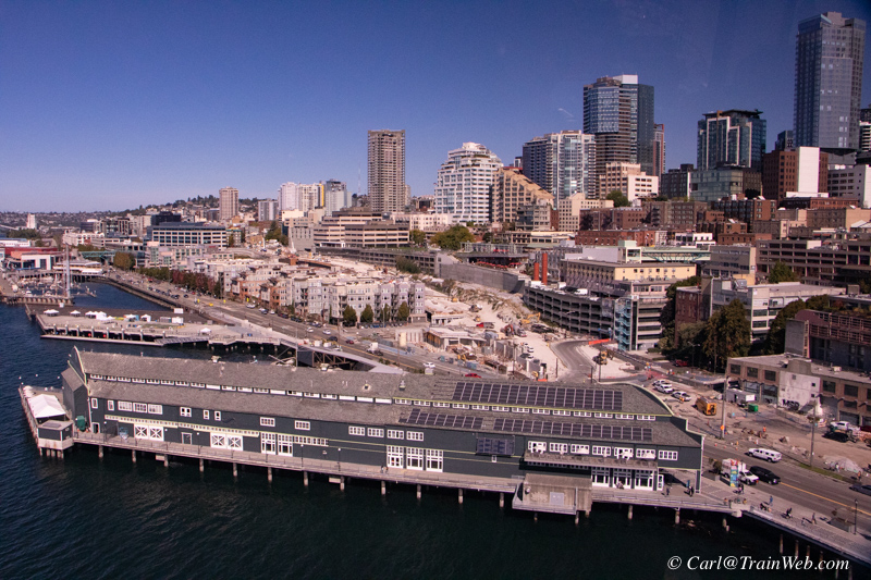
The aquarium is the next building north of the Great Wheel, right above.
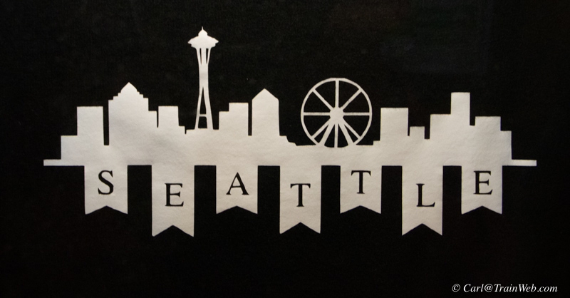
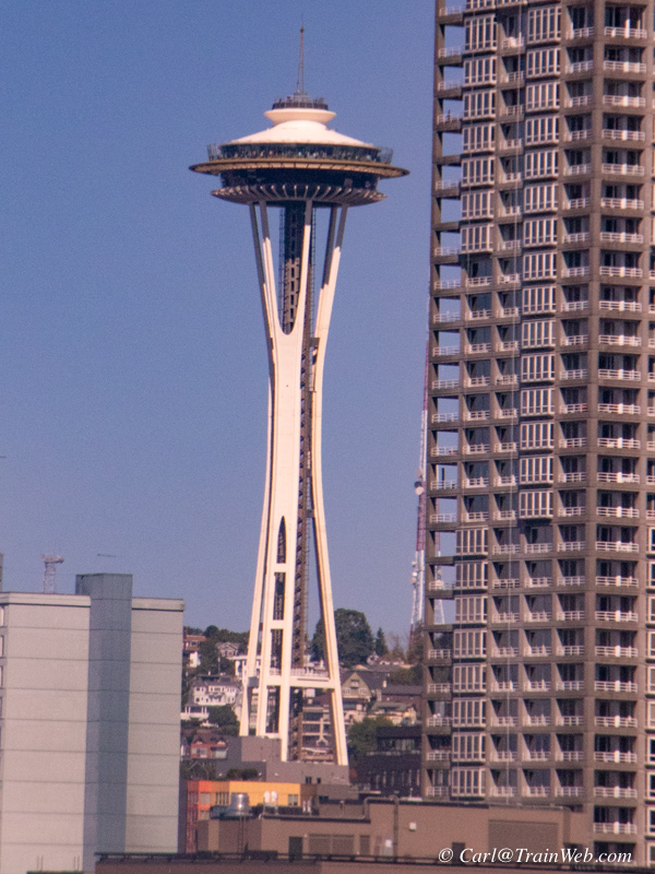
Left, tee shirt. Right Seattle Tower.

The view west is not as interesting to me as the city side.
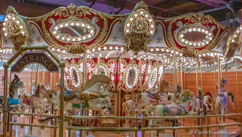
You walk back from the end of the pier and Great Wheel through many shops, restaurants and attractions.
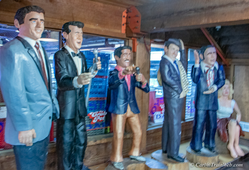
For some reason many life-sized simulated wood carvings were placed along the corridor.
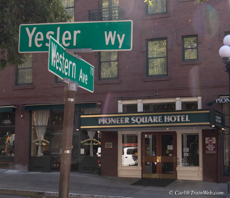
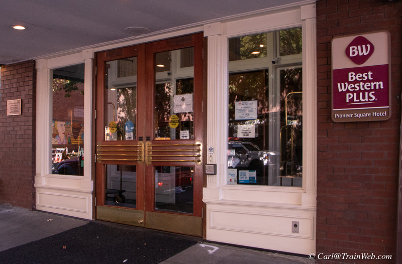
Best Western Plus Pioneer Square Downtown Hotel, 77 Yesler Way.
The next day we left in the afternoon on the Empire Builder for the
Izaak Walton Inn stop. We worked at the hotel until late checkout
then took an Uber to the King Street Station where we stored our
luggage at $10 a bag, until near our departure time. This gave us
another opportunity for a meal at 13 Coins.
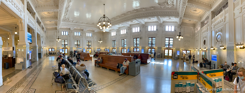
With some time before we left on the Empire Builder, I took some photos
of the restored King Street Station. Above, from first
floor.
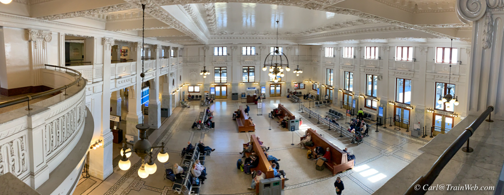
King Street Station from the second floor. Trains are out the far end two doors.
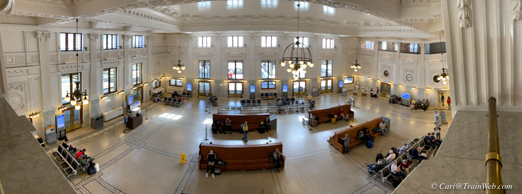
King Street Station interior from the north wall balcony.
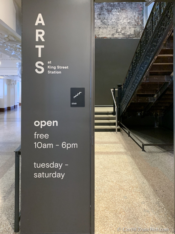
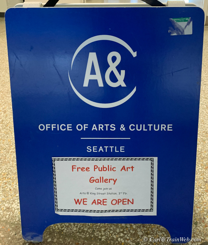
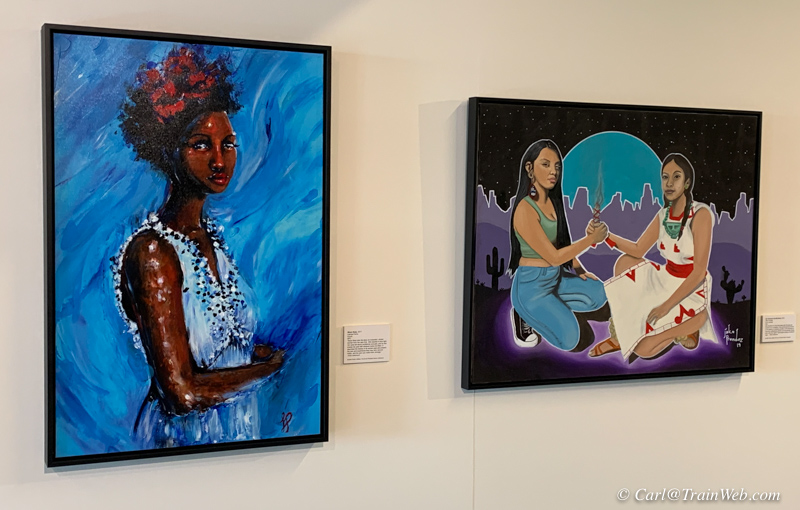
On this balcony level, I found an obscure sign pointing to a 3rd floor gallery of high school student art work.
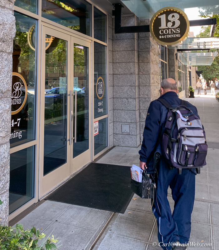
Our last meal in 13 Coins a few steps from the Amtrak King Street
Station where we stored our luggage until the Empire Builder left at
4:40 pm

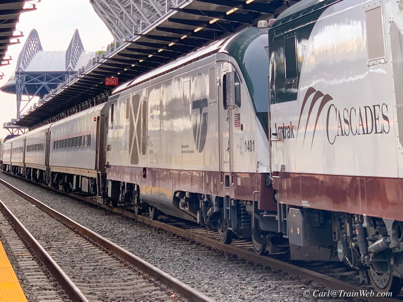
On adjacent track to our Empire Builder was a Cascades consist.
New Siemens locomotives and commuter cars have replaced the
Talgo train sets.
Amtrak Empire Builder from Seattle to Essex, Montana, including 3 nights at the Glacier Haven Resort and one night at the Izaak Walton Inn
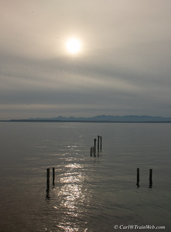
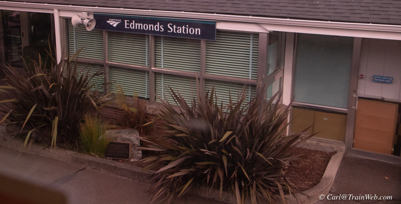 We did not have a bay side roomette, so only a few shots of our eastbound journey toward Essex. Edmonds, Washington train
station above.
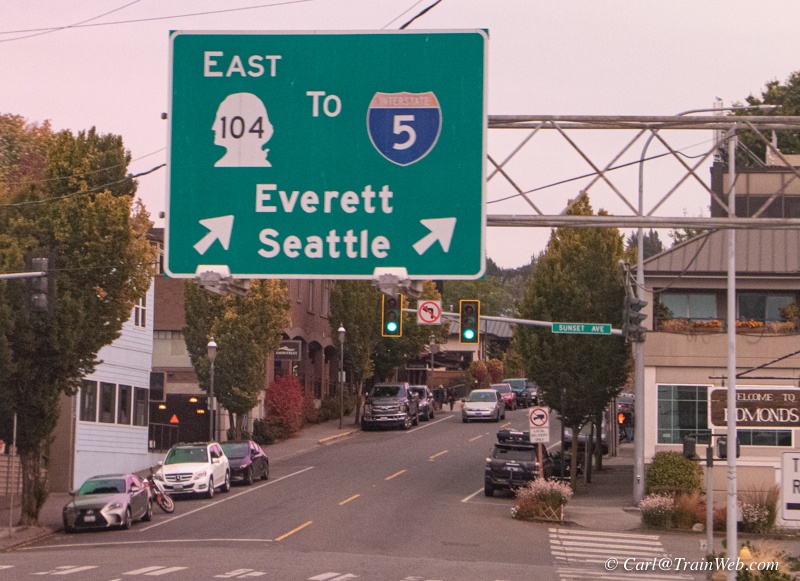
Sometimes highway signs can help you identify your location.
Above right, the over cast near sunset was not very photogenic.
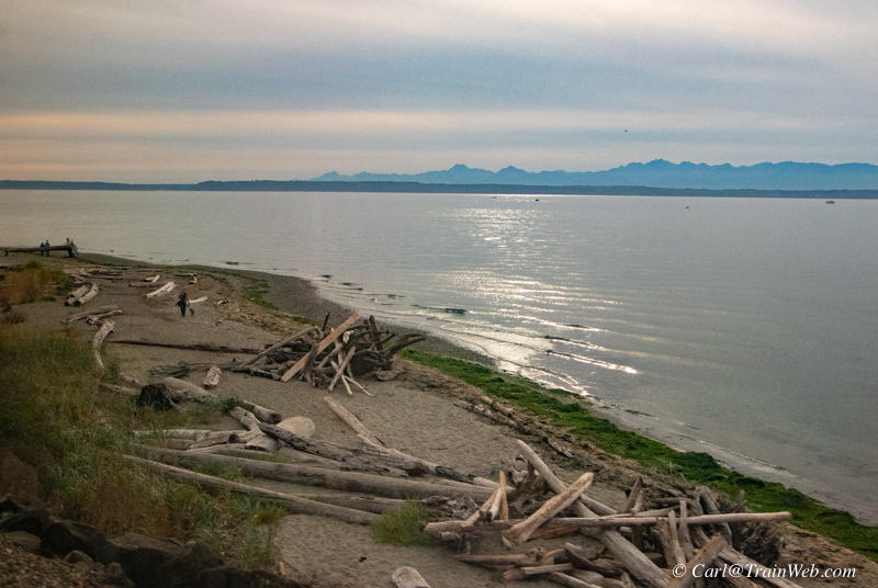
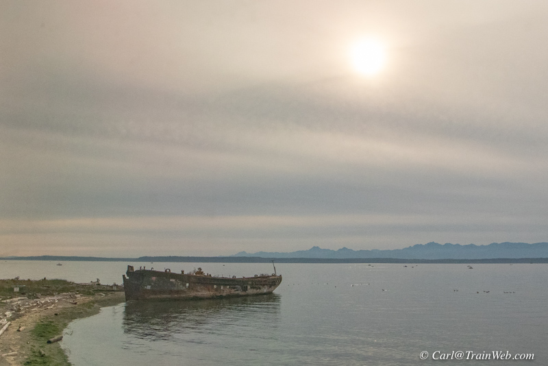
Some items near the tracks caught my photographic eye.
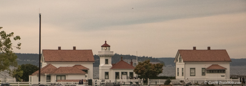
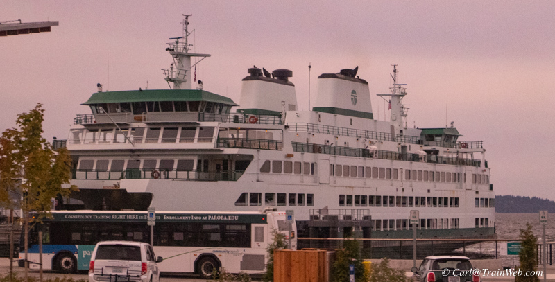
Mukilteo Light and Ferry Station.
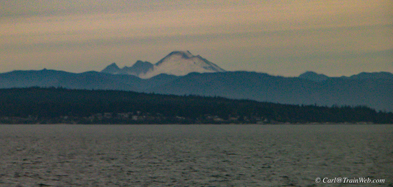
Glacier Peak, I believe, or Mt. Rainer.
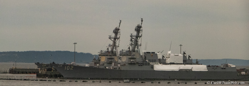
Some US Navy ships
USS Sampson (DDG-102) is an Arleigh
Burke-class destroyer in the United States Navy. Funding for the Flight
IIA ship was authorized in 2002 and her keel was laid on 20 March 2005.
She is the fourth US Navy ship named to honor Rear Admiral William T.
Sampson. She was built by Bath Iron Works in Bath, Maine. Wikipedia
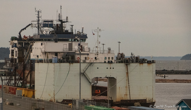
A very unusual ship in Everett Harbor.
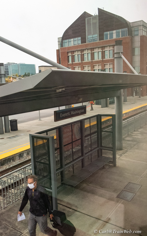
Everett, Washington, Amtrak platform
During the night, the Empire
Builder from Seattle, with the diner, joins the other half, with the
cafe/lounge car and proceeds eastward. We detrained at the
Izaak Walton Inn at Essex, Montana, to pick up a rental car. We
would stay at the Glacier Haven Inn seven miles west on Hwy. 2 because
the Izaak Walton Inn was fully booked for a wedding. We would
return here, turn in the rental car, and stay one night before boarding
the Empire Builder headed back to Portland in 4 days.
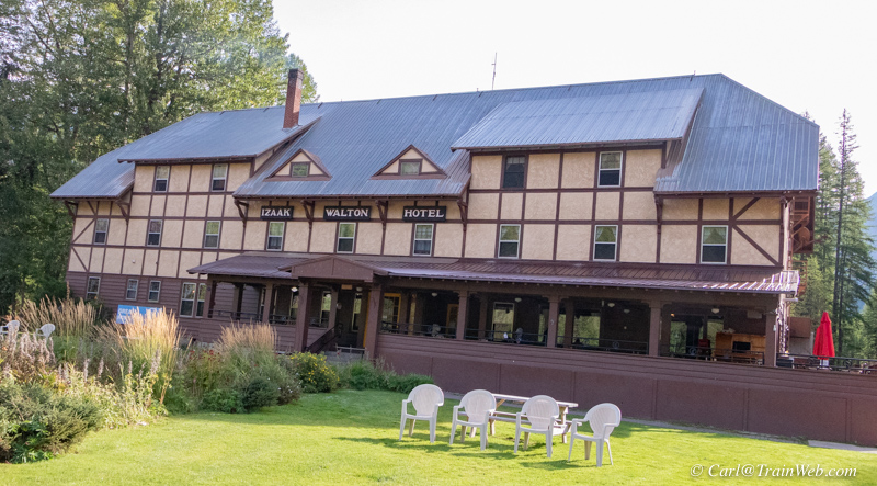 It was a sunny day, so I took some photos around the Inn.

The still-familiar front desk and lounge with hallway (center) to our Room 3 in a few days.

The Great Northern No. 441 still looked good outside as a luxury accommodation.
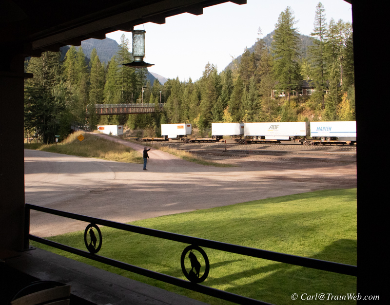
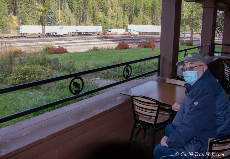
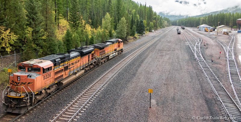
We were treated to some passing freights even in our short time before heading to the Glacier Haven.
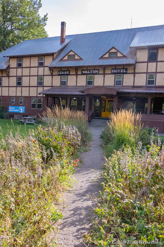
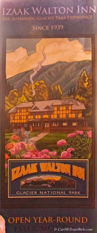
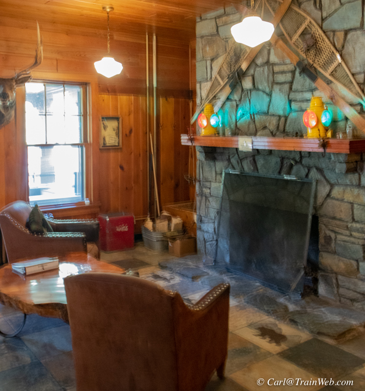
The sidewalk in front is lined with plants now, which was not the case
when we visited in 2012, nor on their brochure. The lounge still
looked inviting.
Next, we went to the Glacier Haven Inn to check in for our three-night stay.
Three nights at the Glacier Haven Resort
 Logo of the Glacier Haven Inn, Motel, RV Park & Cafe
14305 US-2, Essex, MT 59916
(406) 888-5720 vacation@glacierhavenresort.com
Photos and report on Glacier Haven Inn are from September 19, 2021
For the best viewing, make this report the maximum width of your screen.
Glacier Haven will soon become Railfan Haven with its accommodations and proximity to the BNSF tracks.
Why a rail fan would enjoy a stay at the Glacier Haven Resort & Inn:
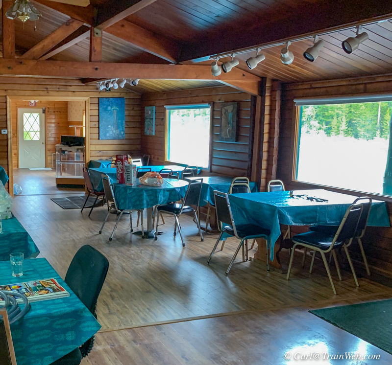
Darren and MaLi Olson, and their two boys, are renovating the
Glacier Haven Inn, Cafe, and RV Park to modern standards. The Inn
is finished after 7 months of work and its 8 units are available. You can
drive right off Hwy. 2 and park in front of your room using the large
paved area. We stayed in Room 3 and were able to see passing
trains from our back window. This would be true for Rooms 1 and 2
as well.
 In the photo above, The Glacier Haven Inn's 8 units are on the far (east) side, the
future Cafe and Coffee Shop are under the oval sign, the future
Registration Office will be in the section on the right in the photo
above. To register for one of the 8 rooms, go to the office to the right, and behind, the Cafe.
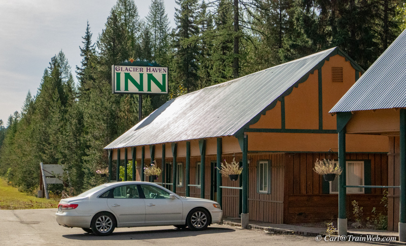
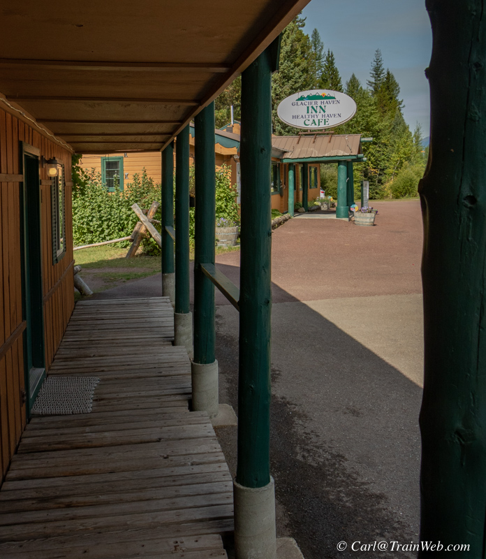
Left, Rooms 5, 6, 7, and 8. Right entrances to Rooms 4, 3, 2, and 1.
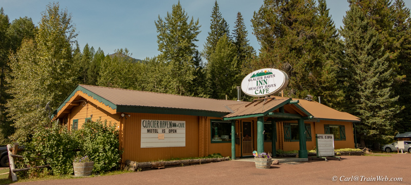
To register for one of the 8 rooms, go to the office to the right, and behind, the Cafe.
 Small sign on larger lighted sign in front of cafe/former office.
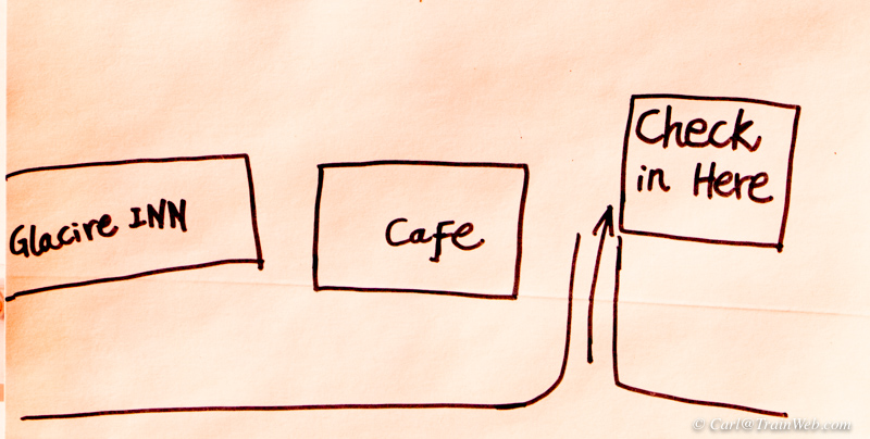
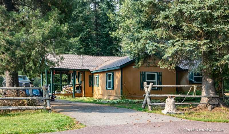 "Check in Here" on the map above, the Olson's residence/motel office.
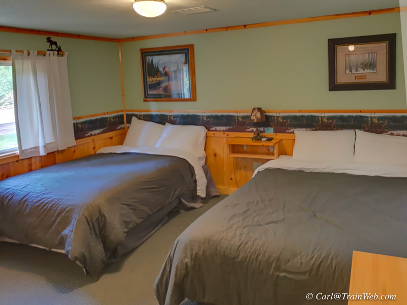
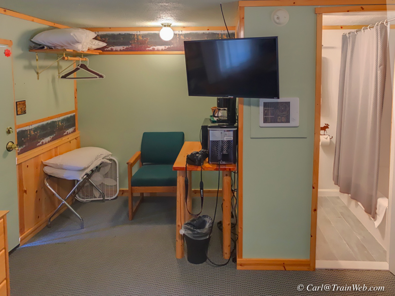
All 8 rooms look brand new in all respects. Two beds in all rooms, queen and full, or queen and twin beds.
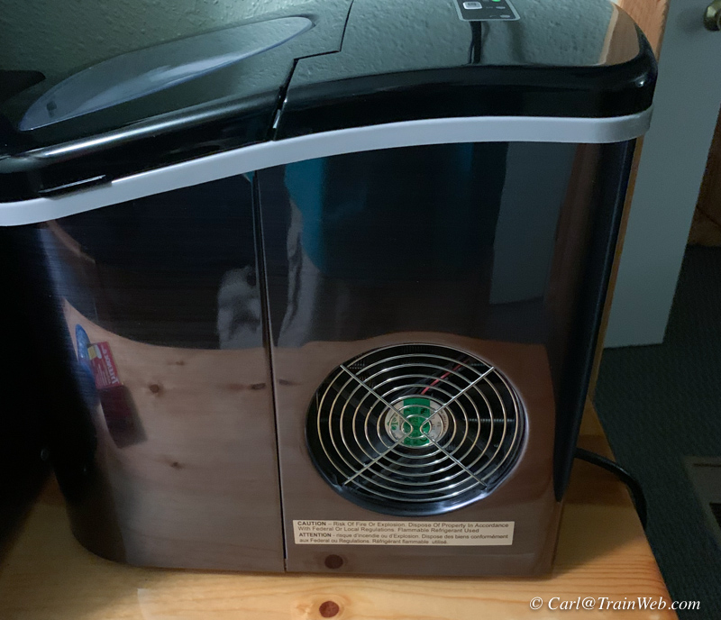
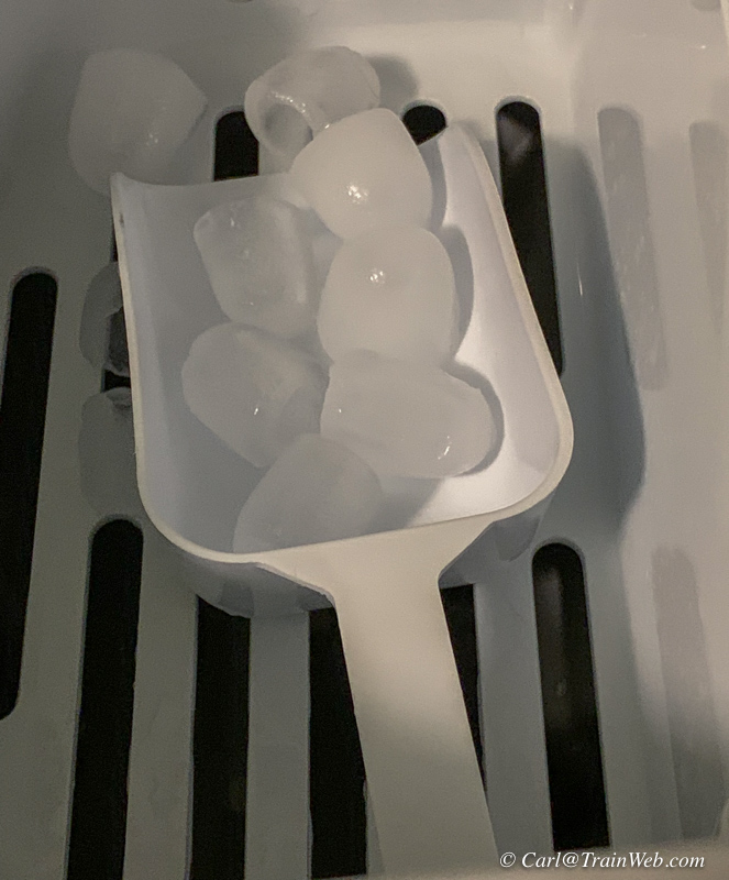
Each room has an ice maker! Fill the coffee pot with water,
lift the lid, pour in water, close the lid, turn on power button and
soon you will have cute little ice cubes!
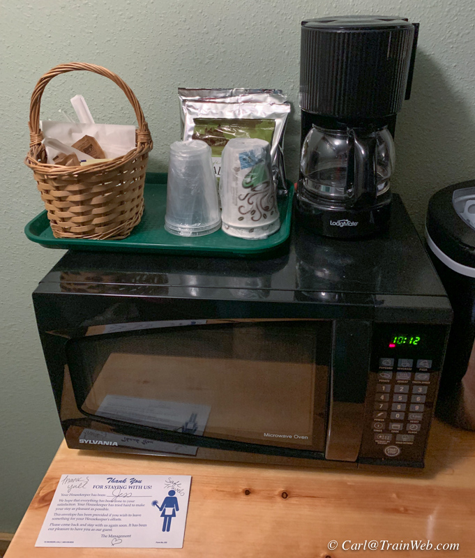 Microwave and coffee maker with both decaf and regular Montana Coffee Traders packets. Clear cups and insulated cups. Also, but unphotographed, a refrigerator.
Darren tasted Montana Coffee
Traders coffee and decided to purchase whole bean coffee from them and
in his Coffee Shop will grind each cup fresh from whole beans.
Daren said he wanted travelers in the corridor to think of his place
as, "You can get great coffee here." As to the flavor of his
coffee, "You know you are drinking a cup of coffee." His new
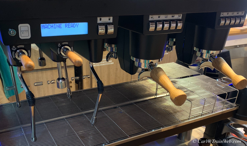
machine will make coffee drinks, expresso drinks, and can turn out
200-250 drinks a day. The cafe was originally known as Denny's
Underpass, but was only open 2 days a week for RV park to get
food. A cafe is needed for the locals, especially during the off
season.
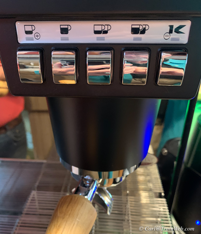
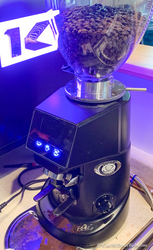
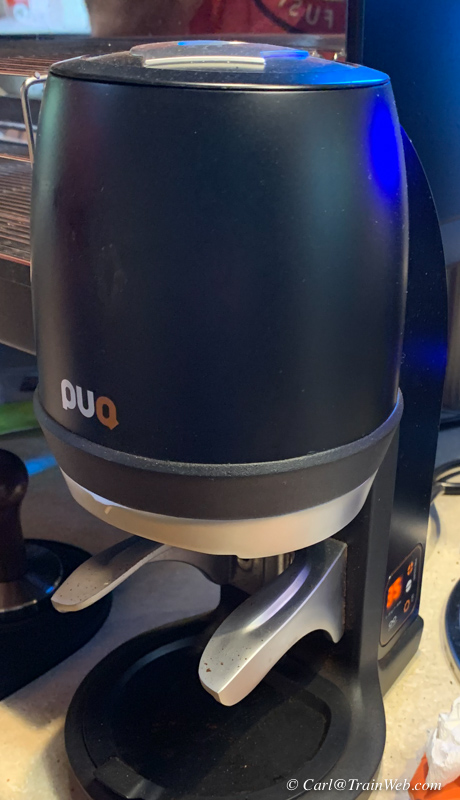
The Cafe and Coffee Shop has a new, top-of-the-line expresso machine for coffee drinks.

Resort owners, Darren and MaLi Olson

The art behind MaLi and Darren in their home above is by MaLi.
Close proximity of the BNSF tracks for the rail fans.
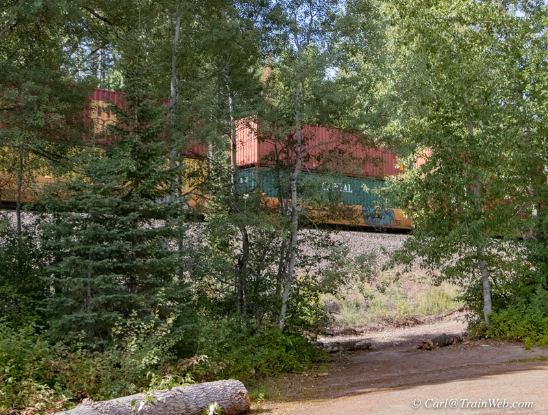
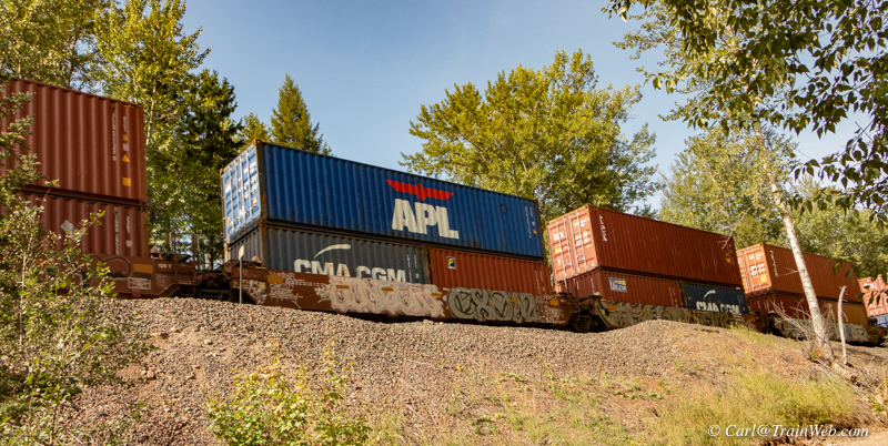
View from behind the motel rooms. View through the road opening in the photo on the left.
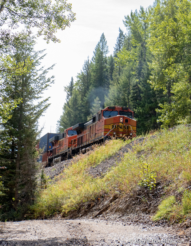
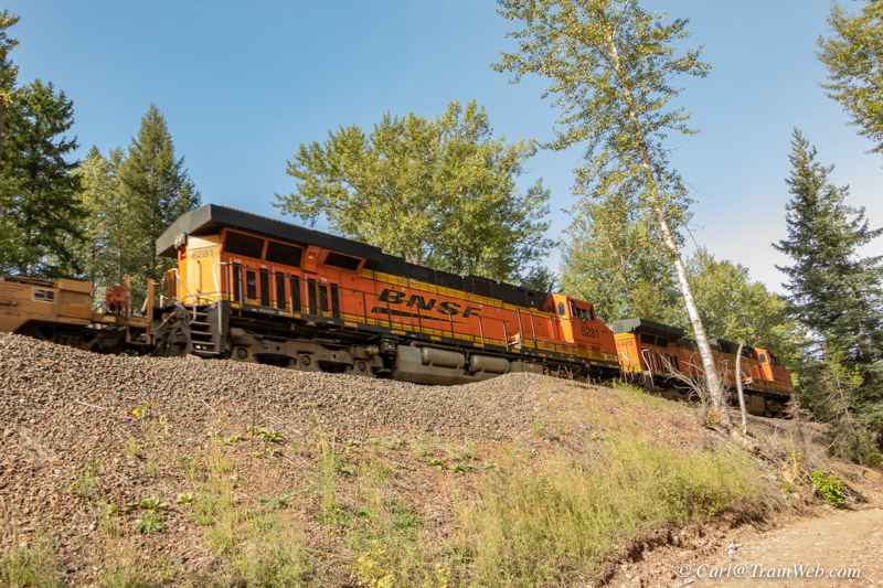
Left, looking east. Right, looking west from the road at the base of the railroad property.
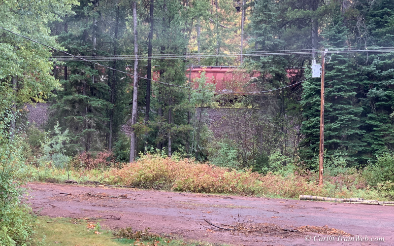
View from the motel room's back window.
Even with inclement weather, from Rooms 1, 2, and 3 you can view passing trains. You
can easily walk to the RV Park up the Resort's road which parallels the
RR access road and the tracks. At the RV Park, the tracks are
level with the campground and there is open space to watch trains
(shown in the next section of this report).
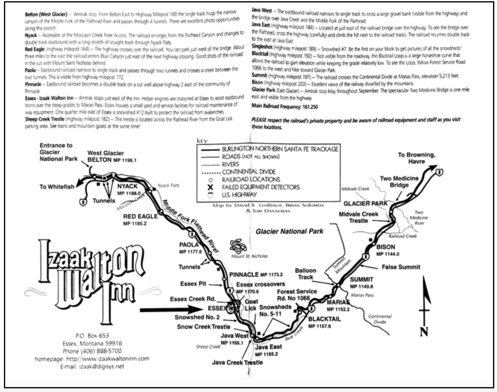
Click the image above to see a larger copy.
The image above is a Burlington
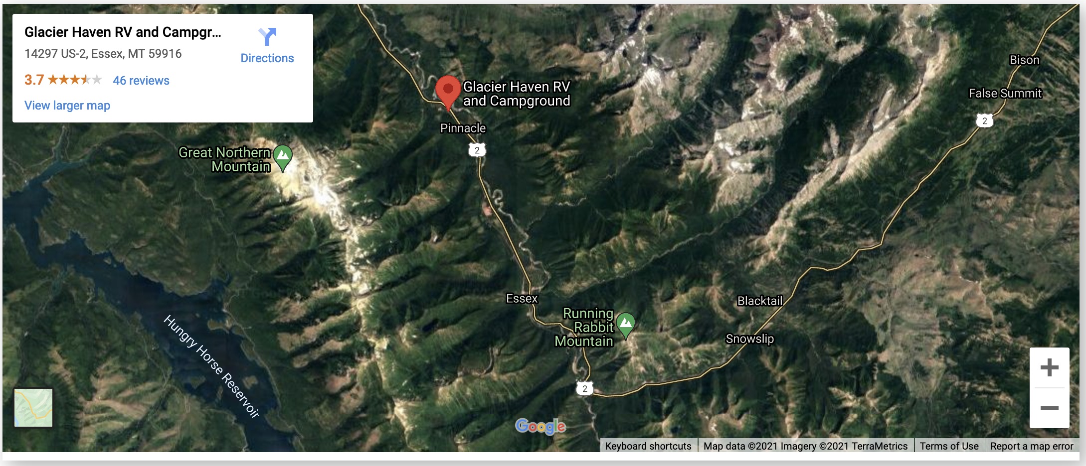
Northern Santa Fe Trackage map, but it also shows Hwy. 2. Glacier
Haven is at "Pinnacle", above Essex on the map, on the left side of the
road heading north. Print the larger version of this map (click
the image above) and if you have a scanner, you can hear approaching
trains as they pass the mileposts by number.
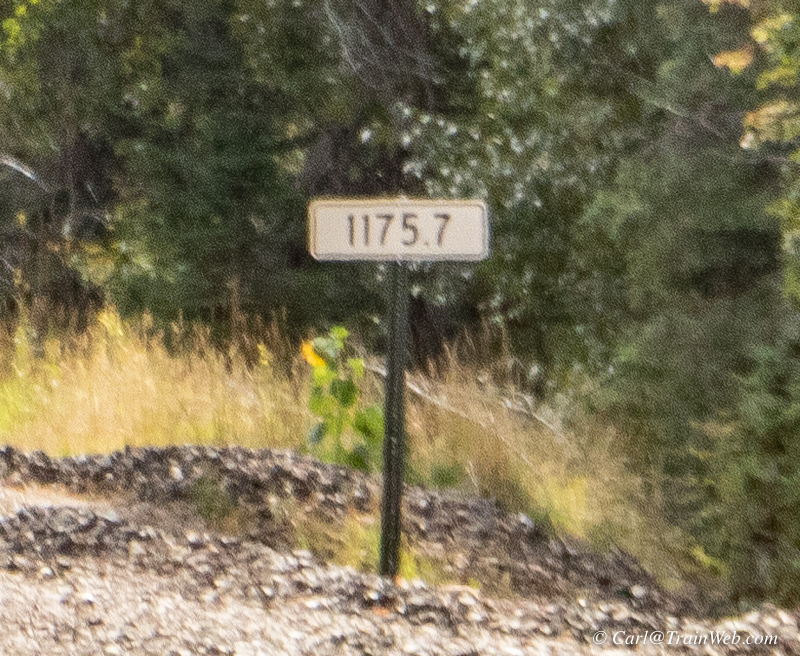
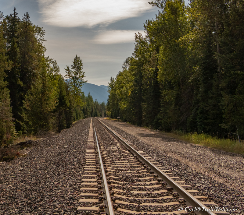
RR milepost closest to the Glacier Haven RV Park and Campsites
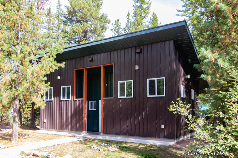
Glacier Haven RV Park
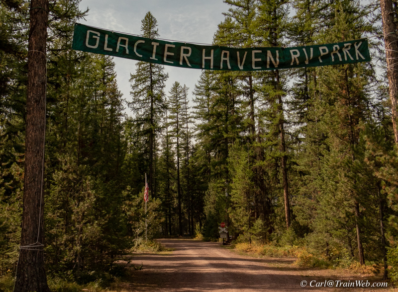
Entrance to Glacier Haven RV Park off Hwy. 2 just west of the INN.
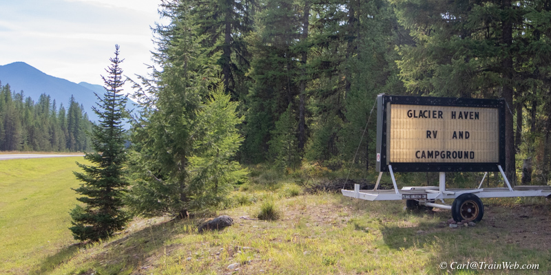
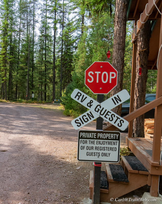
John Wade manages the RV Park.
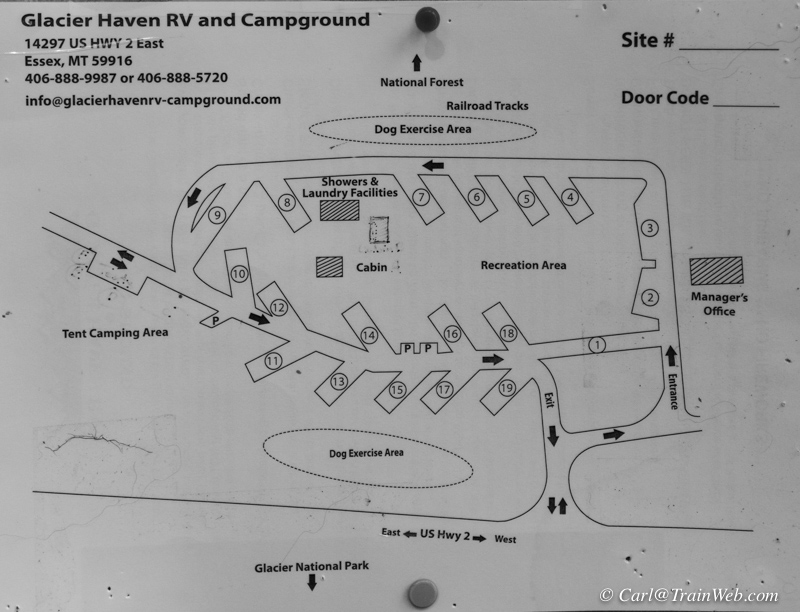
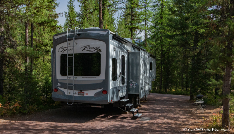
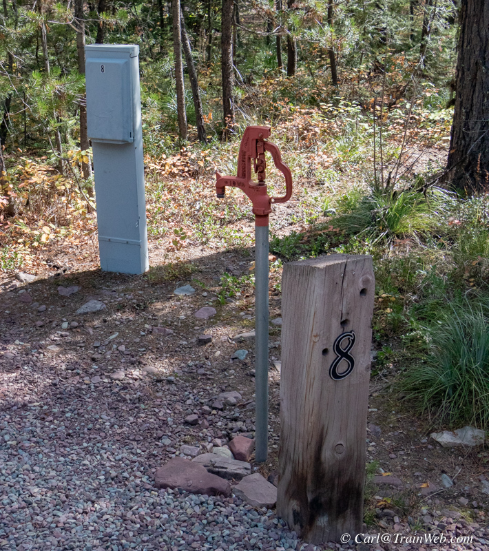
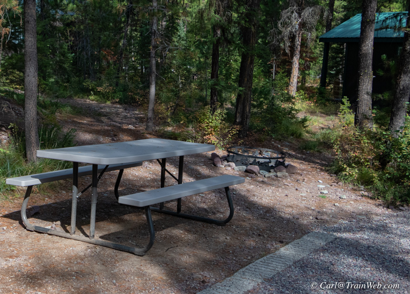
There are 19 campsites in the
Park. All pads have been extended to accommodate 45 ft.
vehicle. Some pads can accommodate 60 ft. vehicles. All
camper sites have full hookups - electrical plugs that RV travelers
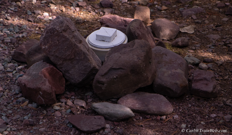
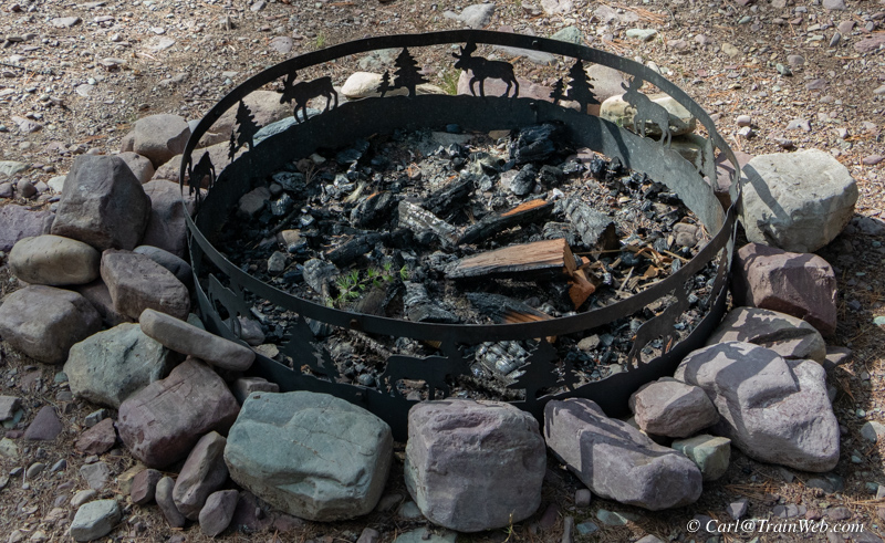
expect 30 and 50 amp, water, picnic table, chairs, fire ring and
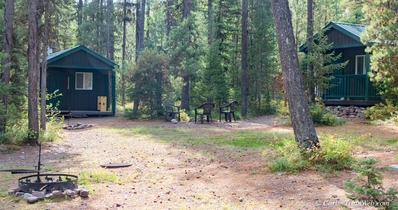
sewer. There are two dry cabins with electrical and beds
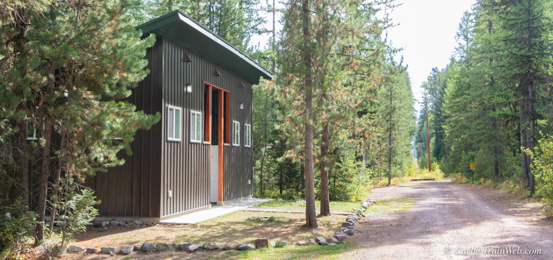
with showers and laundry a few steps away. I walked to the RV
Park from the motel and took some photos.
Click the image above to see a larger copy.
1. For the frugal rail fan,
I would suggest taking the Amtrak Empire Builder, room or coach, to
East Glacier Amtrak Station, renting a car from Dollar,
within walking
distance from the station, and driving to Glacier Haven Resort &
Inn between mile markers 174 and 175 on highway 2, the highway
that runs past the Station and on east or westward. (Make the Resort,
Amtrak, and Dollar rental car reservations ahead of time.)
2. A similar option is to take the Amtrak Empire Builder to West Glacier Amtrak Station and reserve a Hertz rental car (This is a seasonal location which is closed September 16 through June 14 each year.) and drive to Glacier Haven Resort &
Inn between mile markers 174 and 175 on highway 2, the highway that runs past the Station and on east or westward.
(Make the Resort, Amtrak, and rental car reservations ahead of time.)
3. A third Empire Builder option is to have your Amtrak made out to Essex, Montana. Arrange with the Izaak Walton
inn to rent one of their cars as you step off the train and receive a
lift in their van a few hundred yards to their Inn. Drive only 7
miles west to the Glacier Haven Inn and select the accommodations you
prefer. If the Glacier Haven Cafe is not yet open, return to the
Izaak Walton Inn for your meals.
4. Drive your passenger or recreational vehicle to
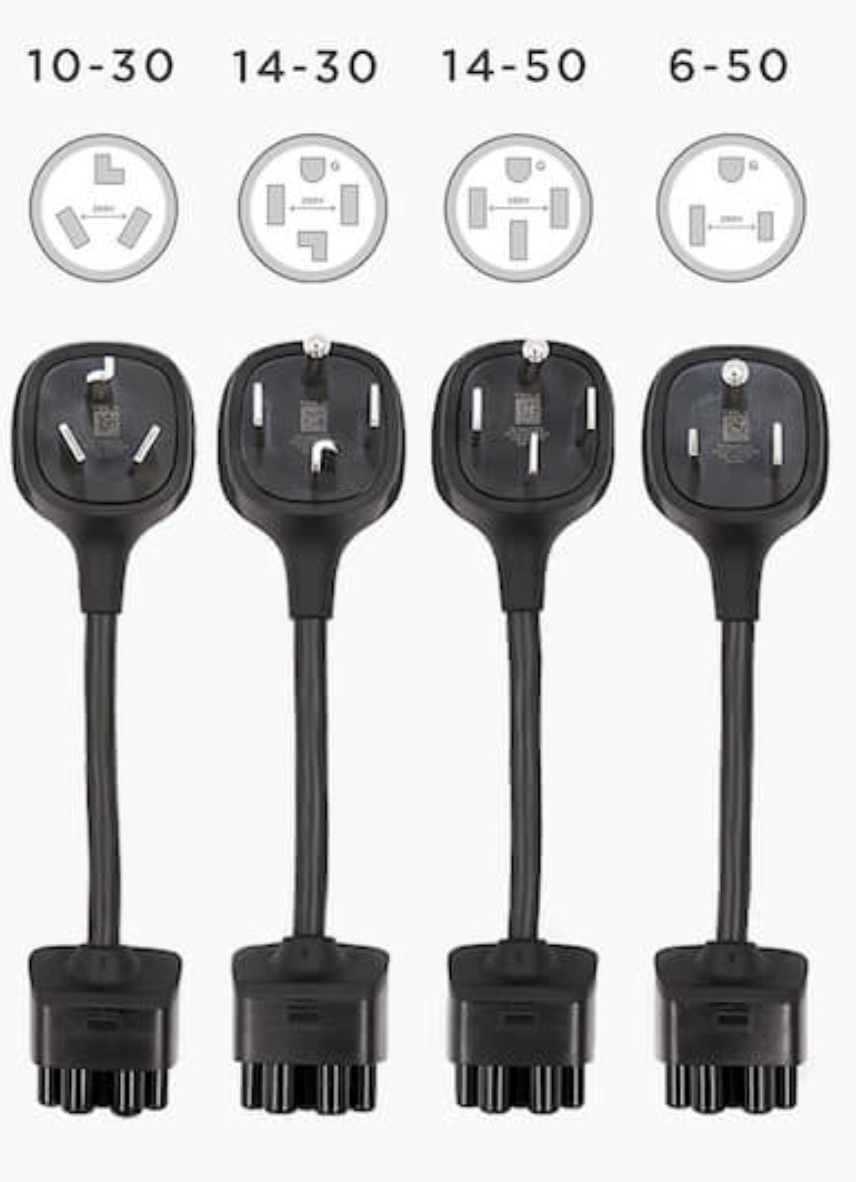
the Glacier Haven Inn and RV Park. If you have a Tesla, use the
campground Level 2 charger at the pads and either pitch a tent, use
their dry cabin, or get a room in the motel. During the day,
visit Glacier National Park or take water raft rides available at West
Glacier entrance. Rent a Tesla from skyecorentals.com in Columbia Falls.
5. Fly to Kalispell, commercially or your own plane, rent a car, and drive to Glacier Haven Inn and RV Park and select the accommodations that meet your needs.
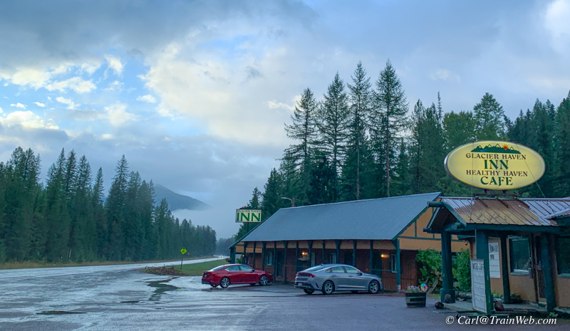
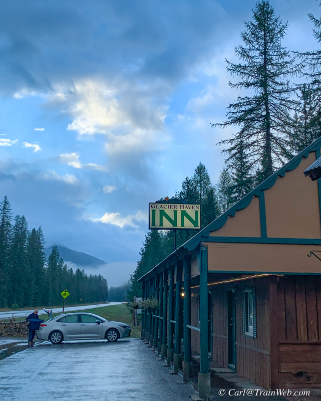
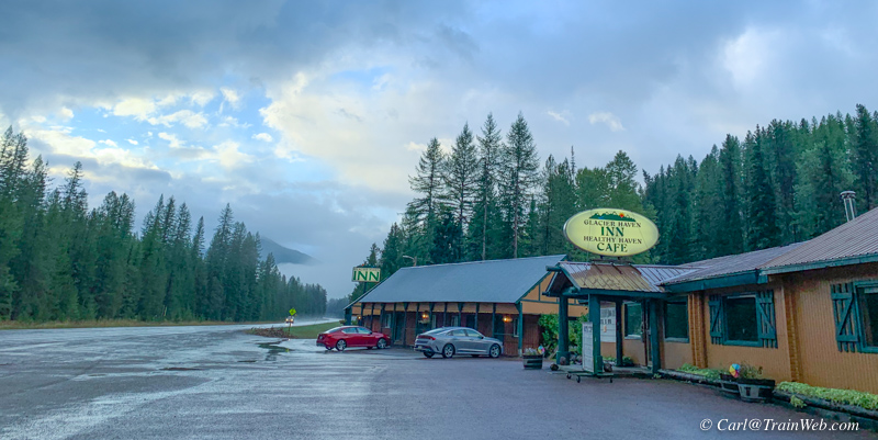 As we checked out of Glacier Haven early on a September morning, after
a rain during the previous night, I thought the resort looked
particularly photogenic in the morning light.
Future Developments at Glacier Haven Inn, Motel, RV Park and campground, and Cafe
Starlink for the motel, cafe/office, and RV park and campsite.
As of this writing, Darren is using the Beta version. He has purchased the dish and modem.
Hwy. 2 runs north and south in this area, so his disk faces
northeast. He has found support people very good. Starlink
is proving to be 4 to 10 times the speed of the previous provider,
Hughes, with 50 MB to 200 MB download speed which is comparable to
Comcast back in Seattle.
Replace the motel with a 25-room lodge.
Things to do from Glacier Haven Inn & Resort
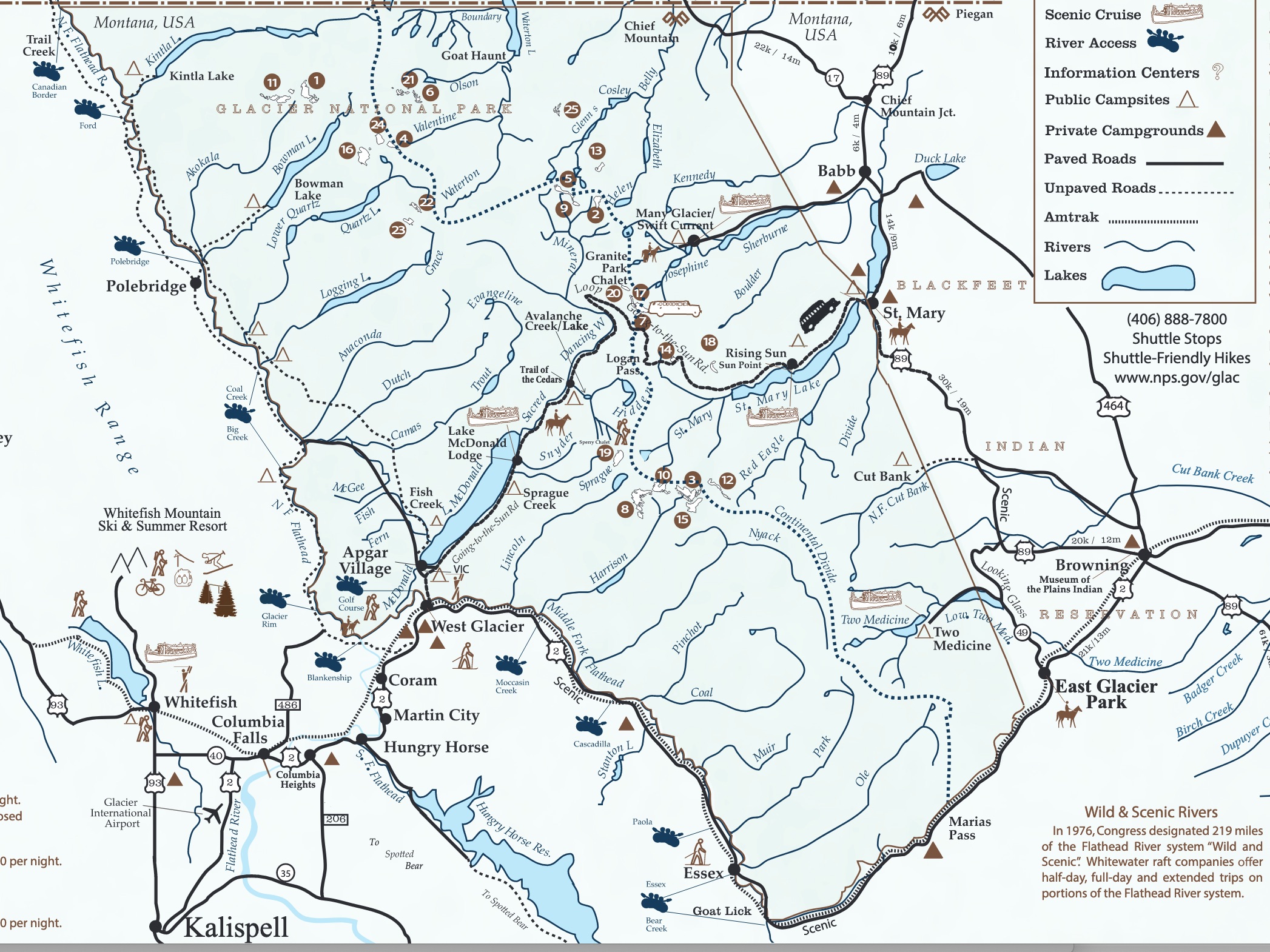 Click the map above for a larger copy.
Waterton-Glacier Peace Park (Includes Glacier National Park plus some Canadian area)
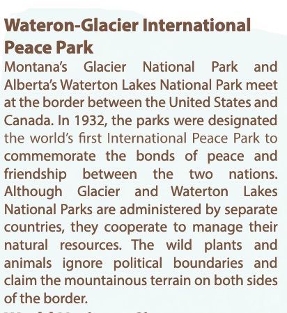
Take your passport if
you plan to cross the border into Canada for that portion of the Peace
Park. You do not need a passport to drive the
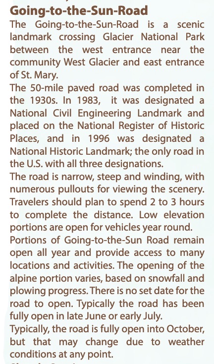
Going-to-the-Sun-Road, which is in the Glacier National Park section of
the Peace Park.
The map above lists many, many activities in and around Glacier
National Park. You can obtain your own map from the source
below. Some of the activities listed include: Boating and
Fishing, Hiking, Horseback Riding, Wildlife Viewing, Cross-country
skiing, Snowshoeing, Bicycle Riding and camping, Golf, Cultural Tours,
Scenic Tours (Red Bus), Scenic Cruise, River Access, Public Campsites,
Private Campgrounds (Glacier Haven).
We drove to the West Glacier area before the entrance to GNP for cell
service, and food. We drove the Going-to-the-Sun-Road from West
Glacier to St. Mary. We had lunch at the East Glacier Lodge.
What we saw while staying at the Glacier Haven Inn & RV Park.
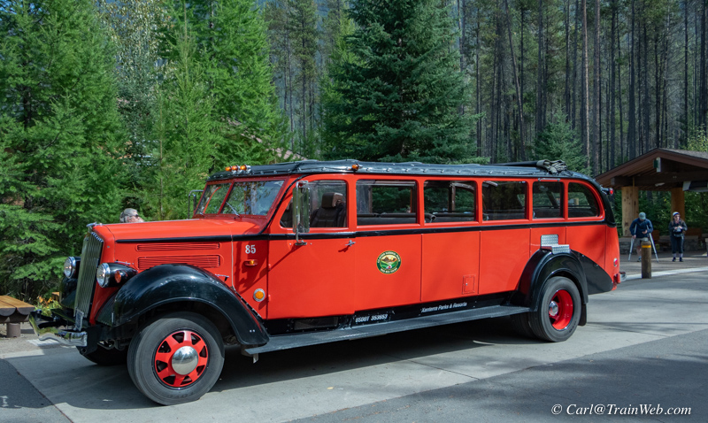
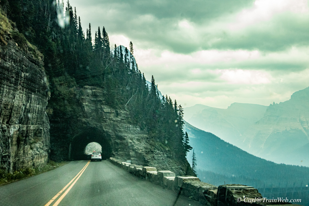 Red Bus in Glacier National Park. Right, Going-to-the-Sun Road.
Red Bus History: https://www.glaciernationalparklodges.com/red-bus-tours/history/
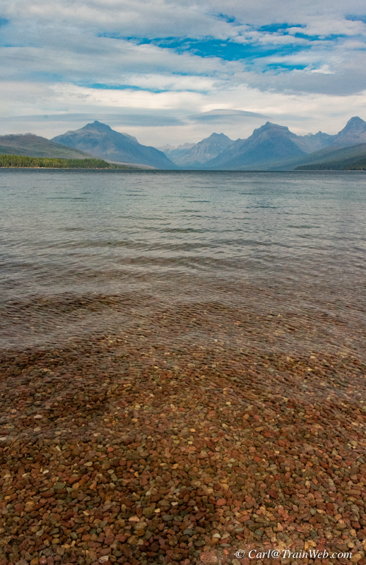
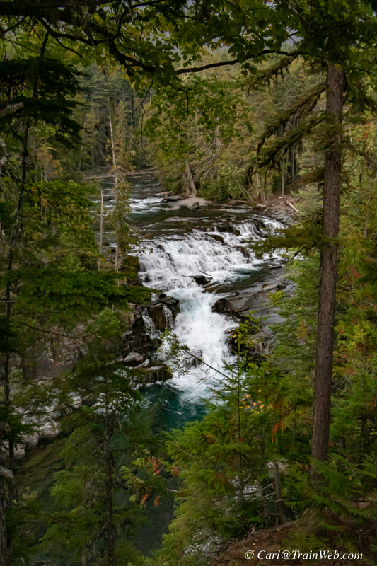 MacDonald Lake at Apgar Village and MacDonald Falls at the north end of the Lake.
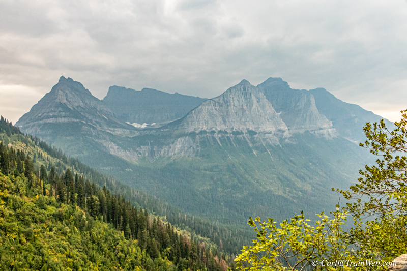
 Left, Glacier view along Going-to-the-Sun-Road. Right,
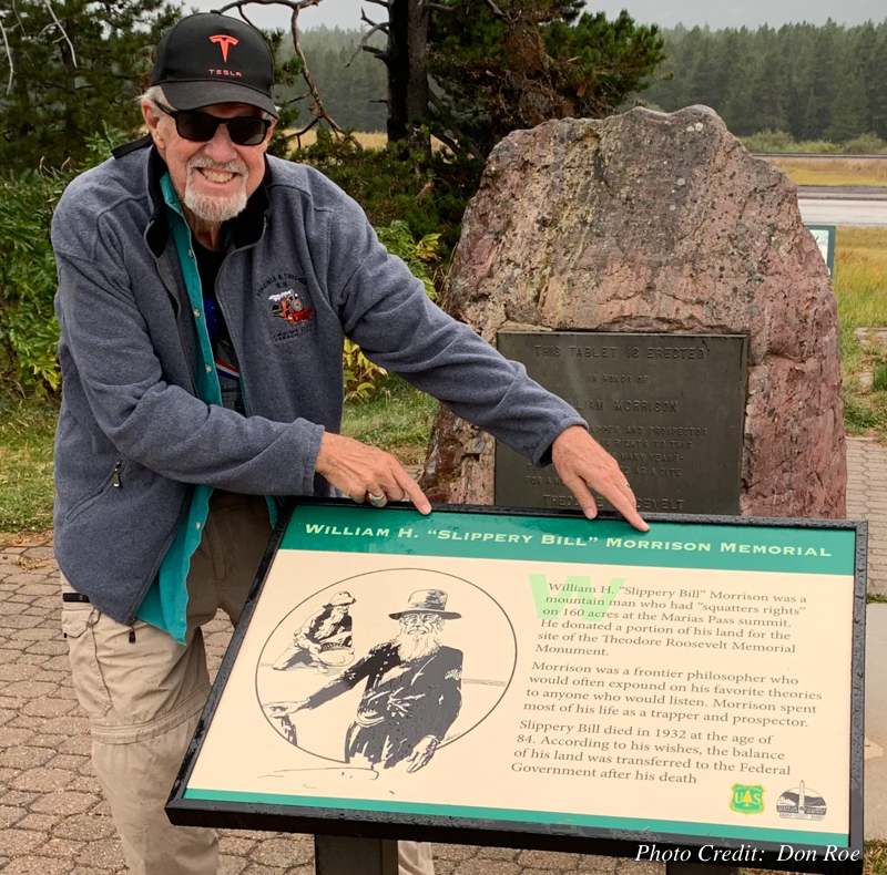
Continental Divide and "Slippery Bill" Morrison plaque (no relations).

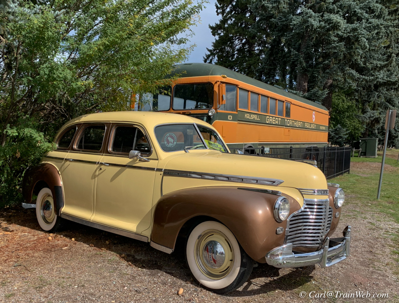 Whitefish Amtrak Station and static displays outside. Whitefish also has many places to eat downtown near the station.
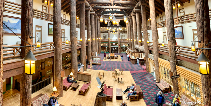 East Glacier Big Timber Lodge with several eating choices.
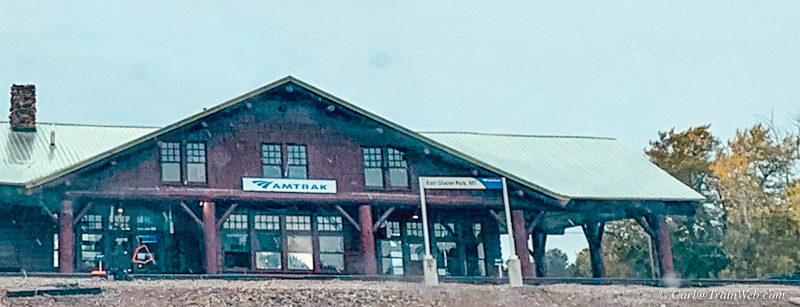 East Glacier Amtrak Station
 Train watching from Izaak Walton Inn's pedestrian bridge and porch and many other spots between East and West Glacier.
The Glacier Haven Inn website lists even more local activities at: https://glacierhavenresort.com/area-attractions/
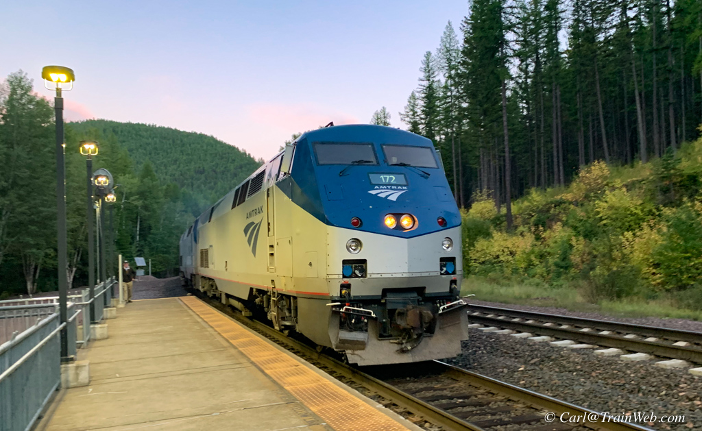 Amtrak Empire Builder arriving September 21, 2021, 7:40 pm in Essex, Montana, stop to take us to Portland, Oregon, to board the Coast Starlight back to home in Orange County, California.
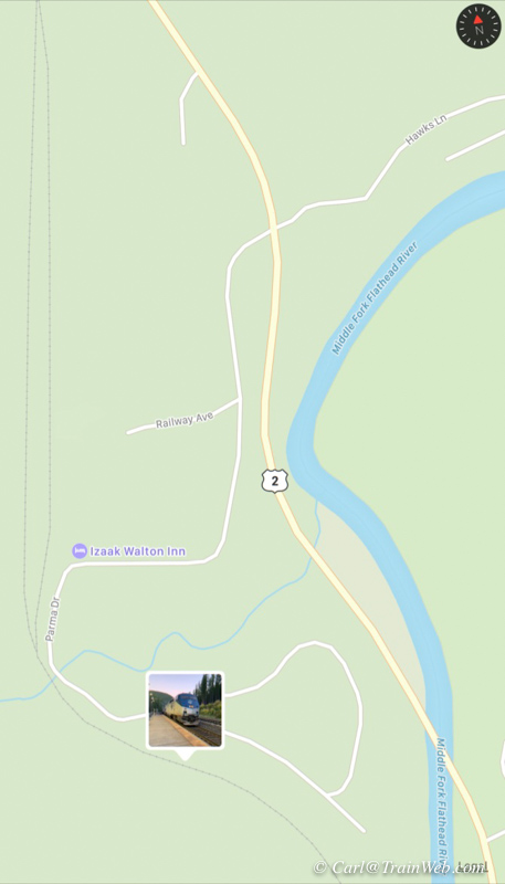
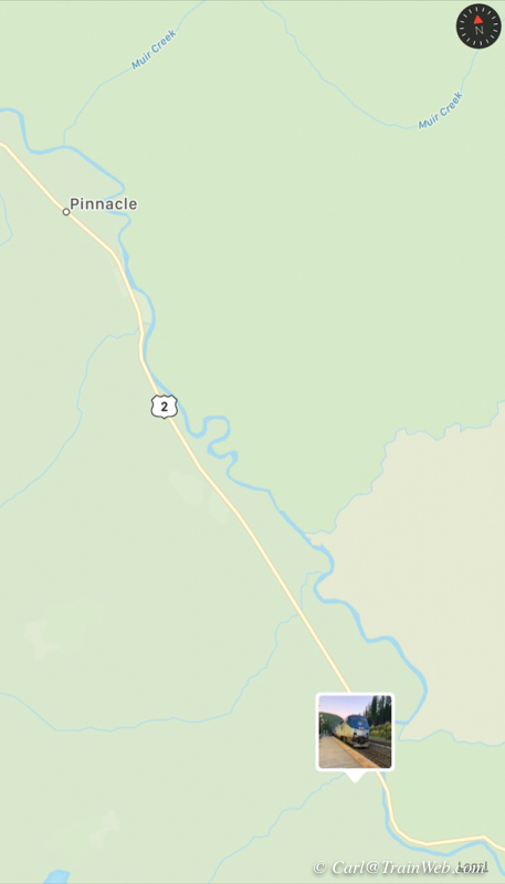
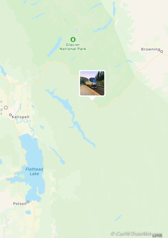 Click any map above for a larger copy.
Left, Closest to Essex Amtrak stop. Center shows Pinnacle and Glacier
Haven Inn 7 miles northwest. Right, Proximity to Glacier National Park.
Not shown in the maps above are West Glacier Amtrak stop and East
Glacier Amtrak stop, each about 30-some miles on each side of Essex.
Glacier Haven Inn and RV Park is at Pinnacle, just 7 miles northwest on Hwy. 2 from this Amtrak stop.
Thank you to Darren and MaLi Olson. Staying in the Glacier Haven Inn was like walking into a new home.
Sightseeing in and around Glacier National Park from the Glacier Haven Resort and the Izaak Walton Inn
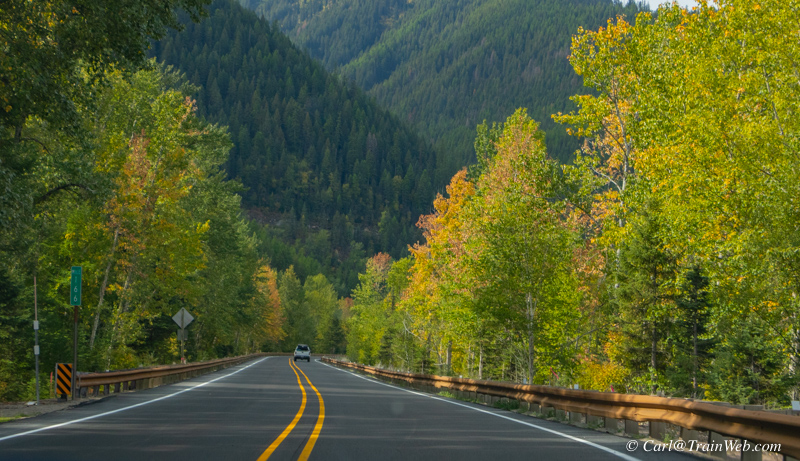 Since we arrived in the morning at Essex, and picked up our rental
car. After checking in at the Glacier Haven Inn we decided to
drive to West Glacier, the closest entrance to Glacier National Park.
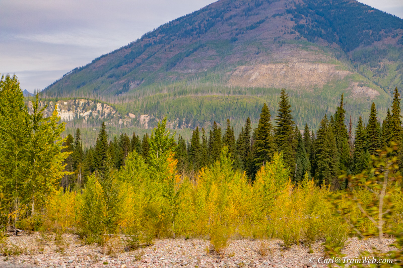 The tracks and Hwy. 2 are laid out next to the Middle Fork of the Flathead River.
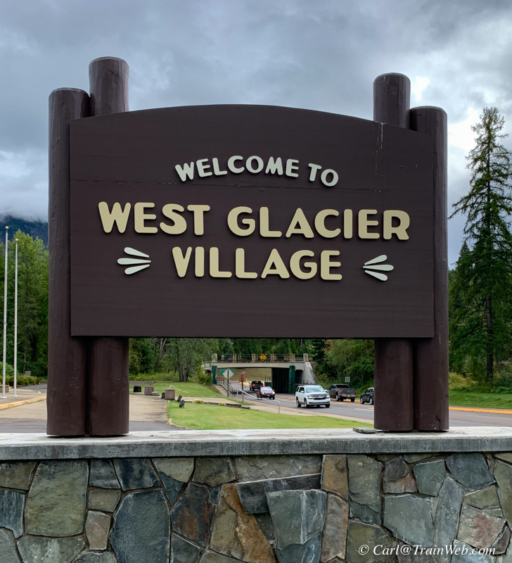
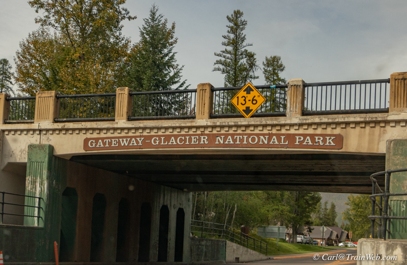 Entry under the tracks to West Glacier Village.
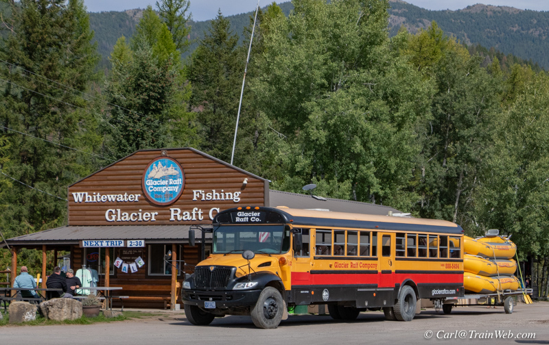 There are touristy businesses before the official entrance to the Glacier National Park.
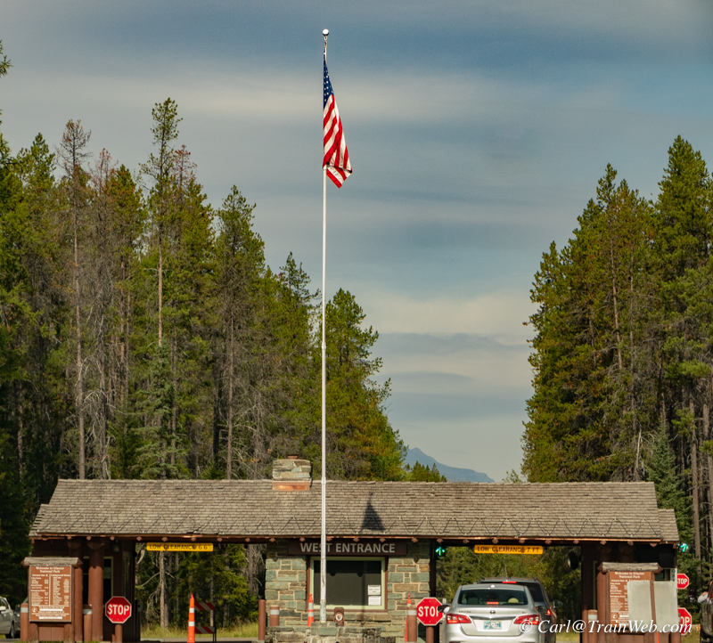
We drove into the park using my lifetime Senior Pass.
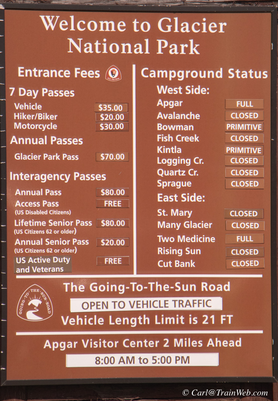
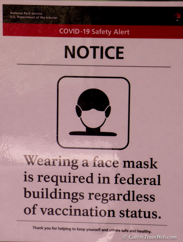
Click any photo when there is more than one per line to get a larger image.
Don was driving so I snapped a shot of the prices and later the notice about wearing a mask on federal property.
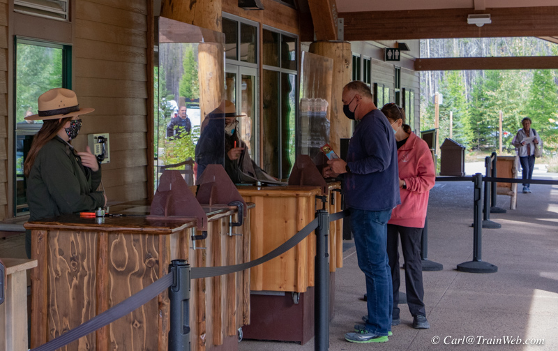
National Park personnel practiced social distancing while handing out maps and talking with guests.
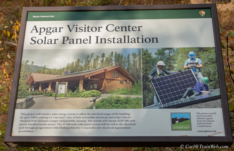

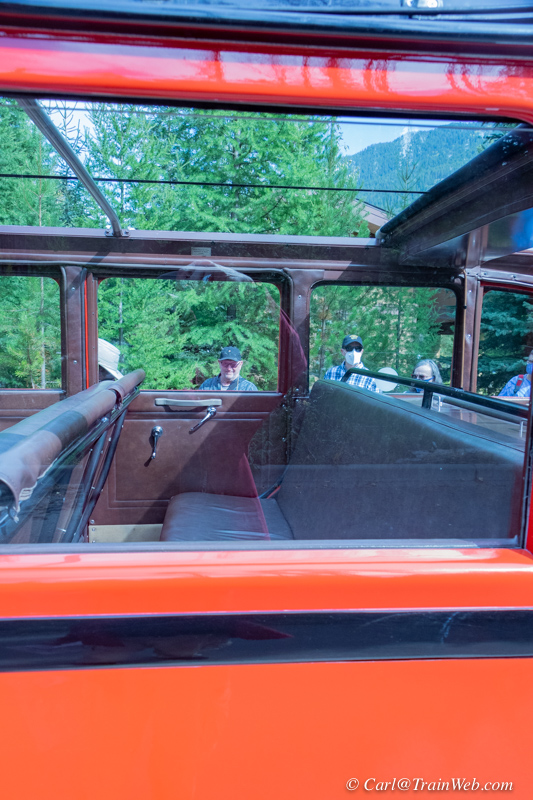
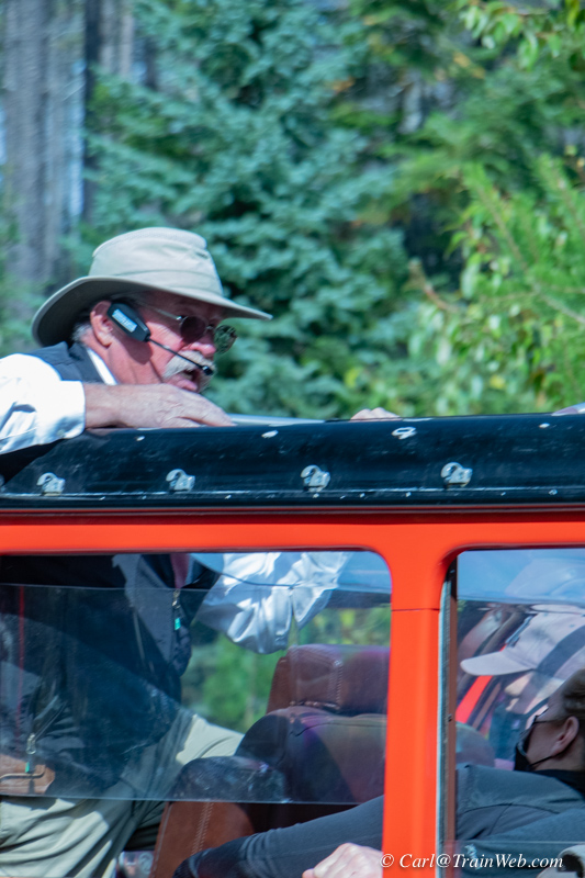
At the Apgar Visitor Center, on the west side, I was very glad to see some Red Buses and their "Jammer" drivers.

Red Bus History: https://www.glaciernationalparklodges.com/red-bus-tours/history/
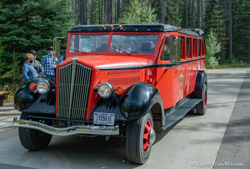
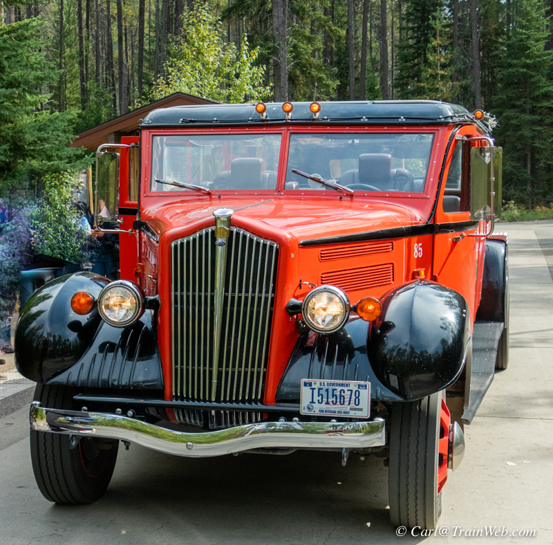
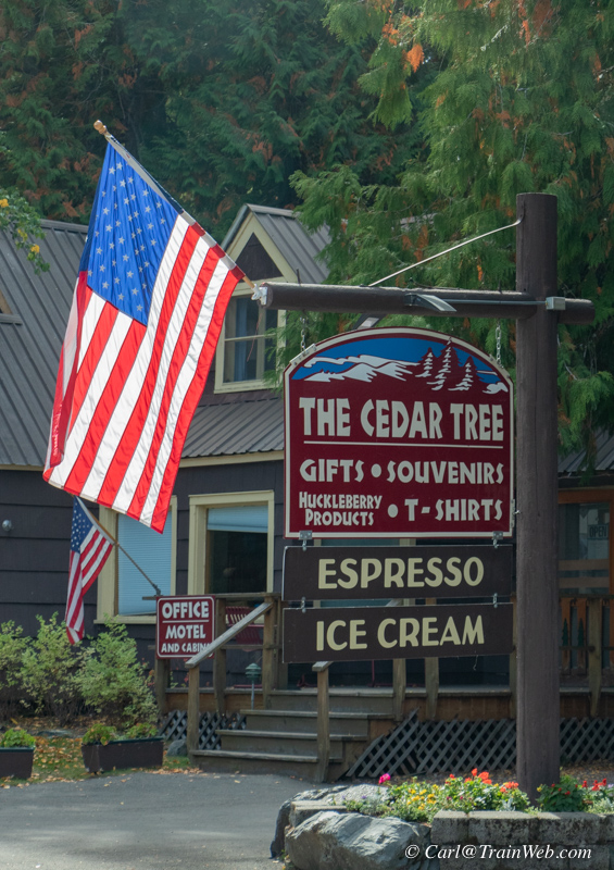
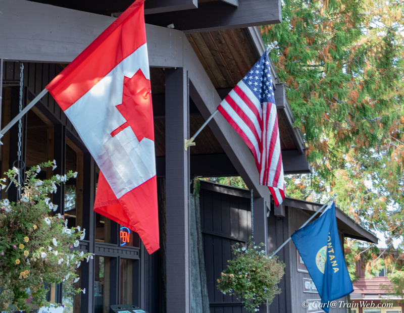
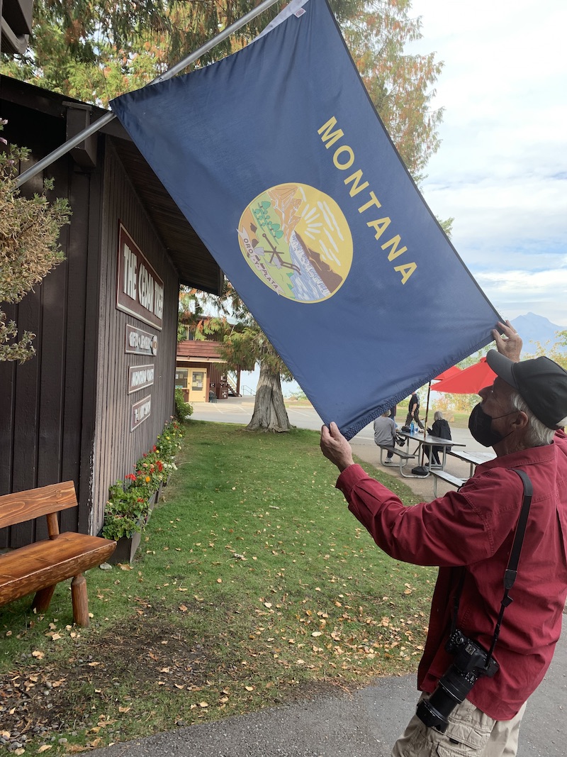
Apgar Village at Lake MacDonald's south edge. I liked the light
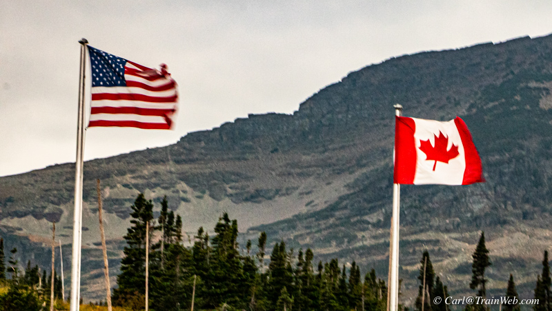
behind the US flag at the Cedar Tree. Canada, US, and Montana
flag, right.
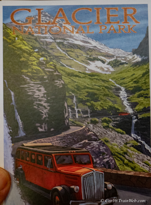
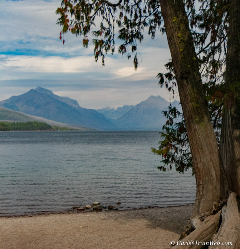
Souvenir shop vintage post card (Red bus, glacier and bird woman
falls. Right, view from south McDonald Lake to north end of lake.

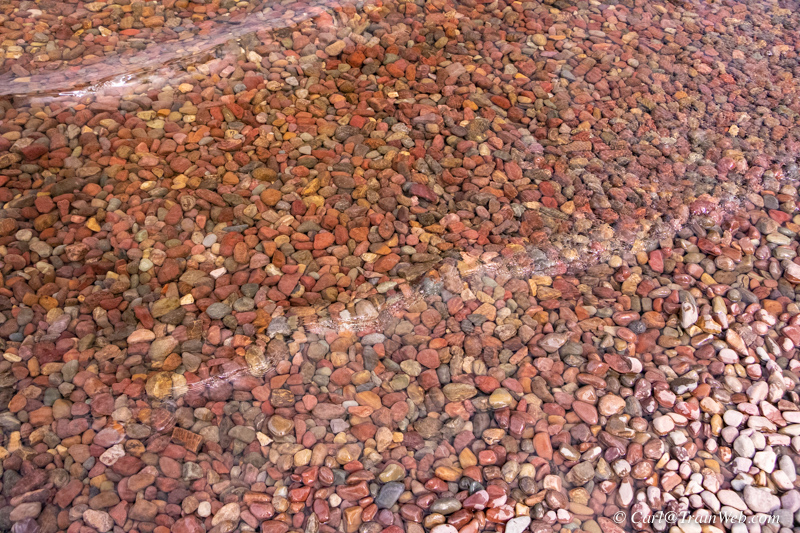
Clear water in lake McDonald with colorful pebbles below the rippled surface.
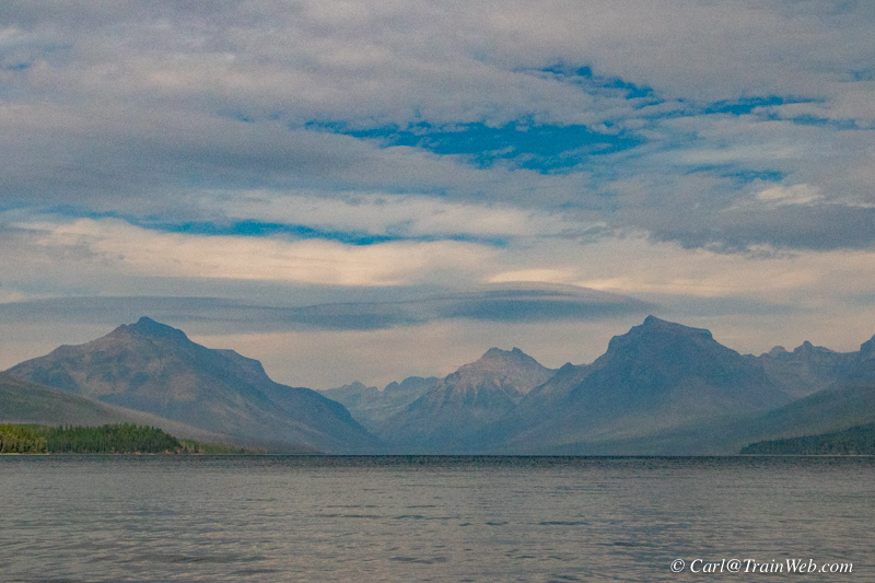
Beyond the north end of Lake McDonald
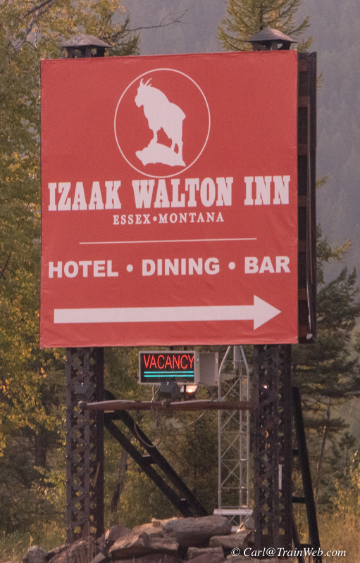
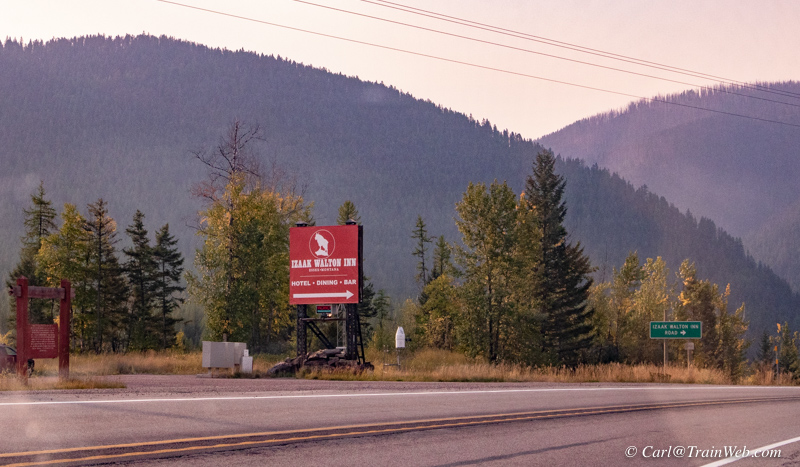
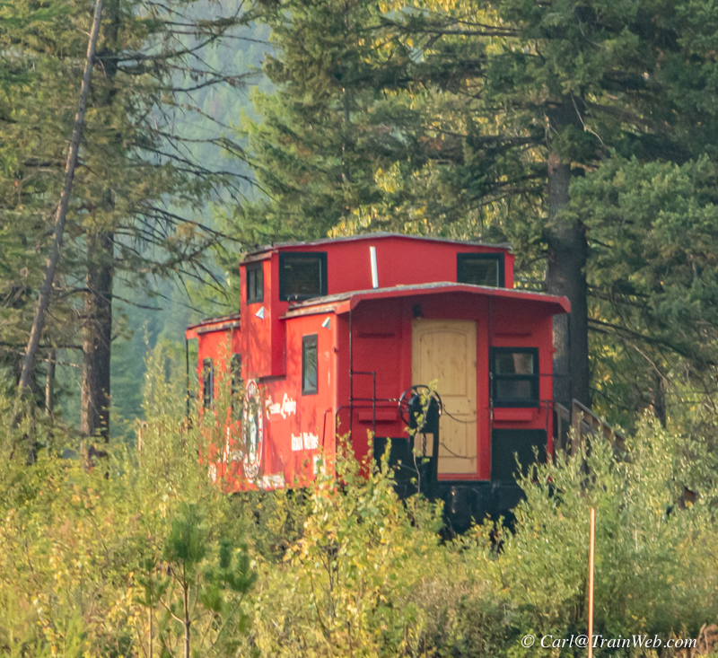
With Glacier Haven's Cafe not yet open, we went 7 miles east to the
Izaak Walton Inn for meals. As you turn in, a red caboose is on
the left.
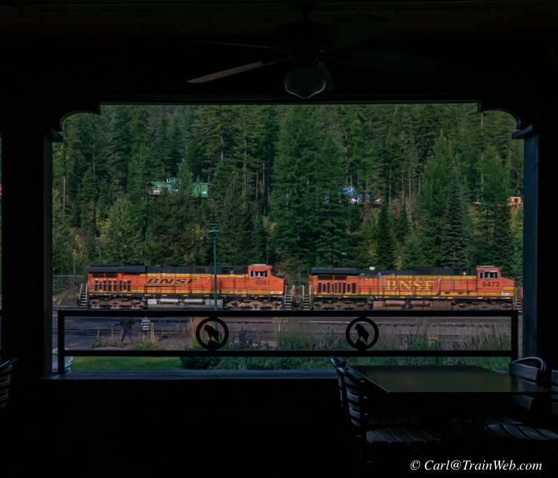
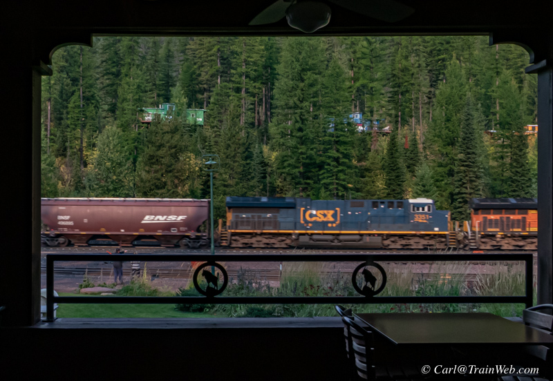
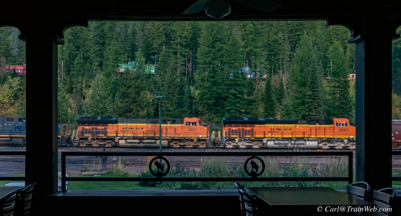
From the Izaak Walton Dining Room, through the outdoor seating, of the
same train - left, helper locomotives (kept at local yard), middle,
borrowed CSX power, right, lead power.
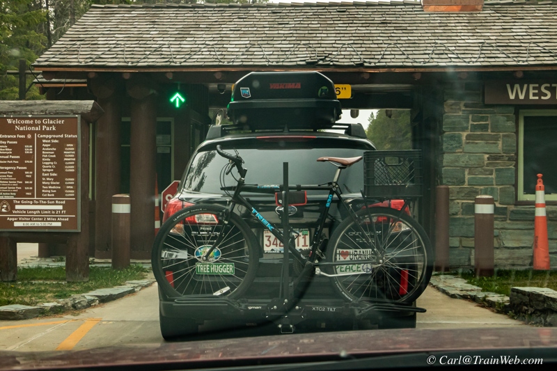
The second day, we decided to take the Going-to-the-Sun-Road. We followed this car through the admissions gate.
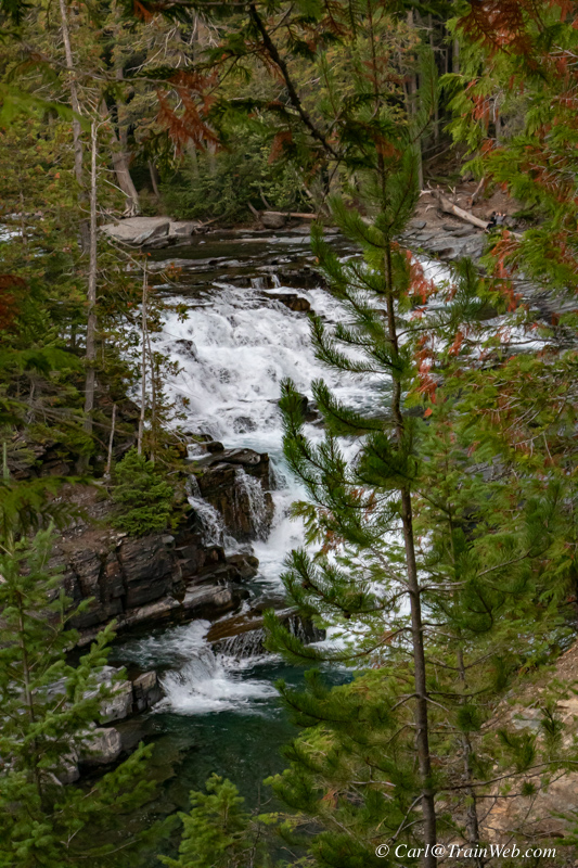
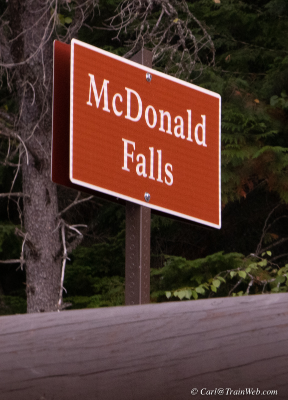

McDonald Falls at the north end of Lake McDonald.
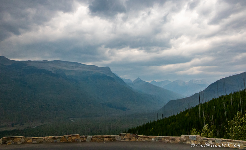
Loop Overlook on Going-to-the-Sun-Road.
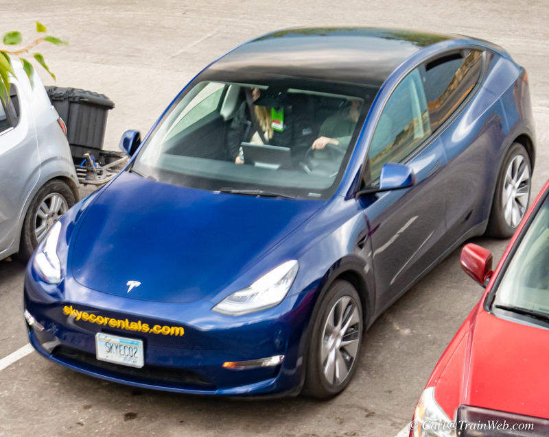
I saw a rented Tesla from skyecorentals.com in Columbia Falls.
They have 2 Tesla Model Ys Long Range AWD from$149.00 (That is less expensive that the Nissan I rented from Izaak Walton Inn.
I mention the Tesla because Glacier Haven RV park is a close place to charge an EV.
They have Level II chargers at their campsites so you could stay in the
campground or rent a motel room and get fully charged overnight.
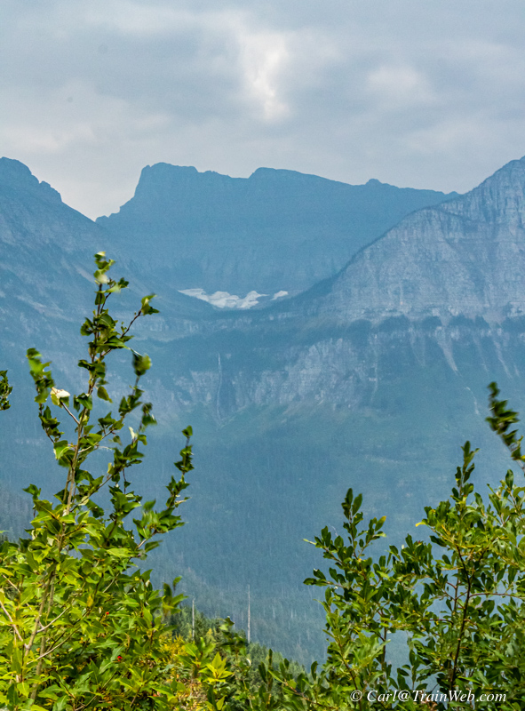
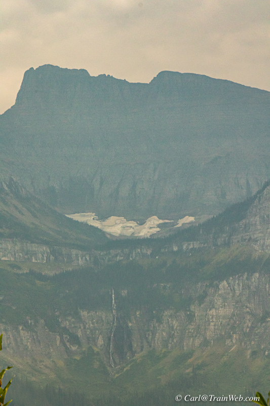
On the Going-to-the-Sun-Road there are several pullovers where you can see a glacier and Bird Woman Falls below it.

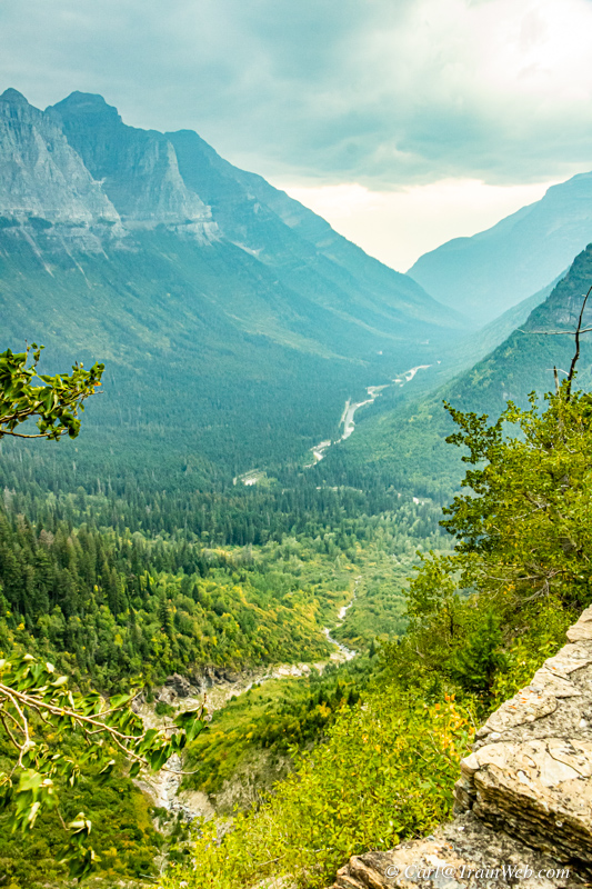
Waterfalls eventually enter rivers that leave the park.
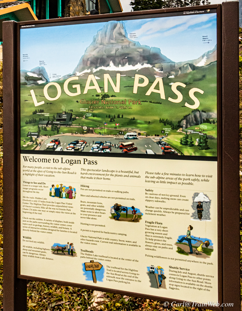
Logan Pass Continental Divide, Elevation 6646 ft.
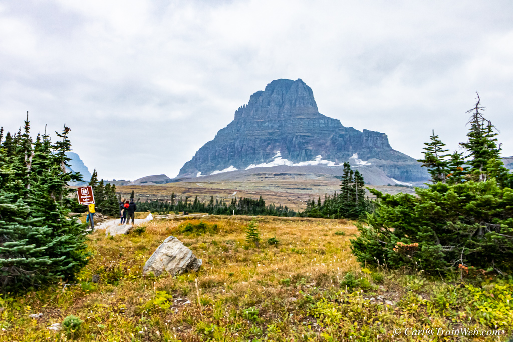
Clements Mountain Elevation: 8,760′
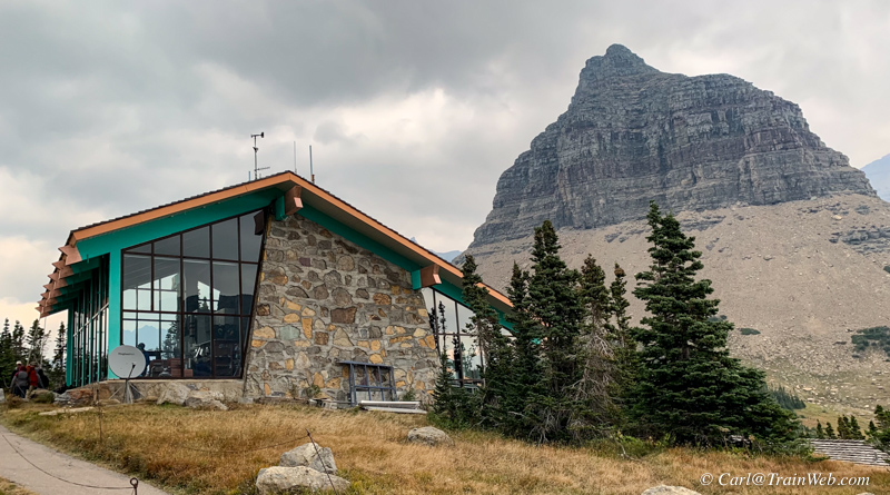
The Ranger Info. Center was not open, but the Conservancy shop was, with social distancing line outside the building.
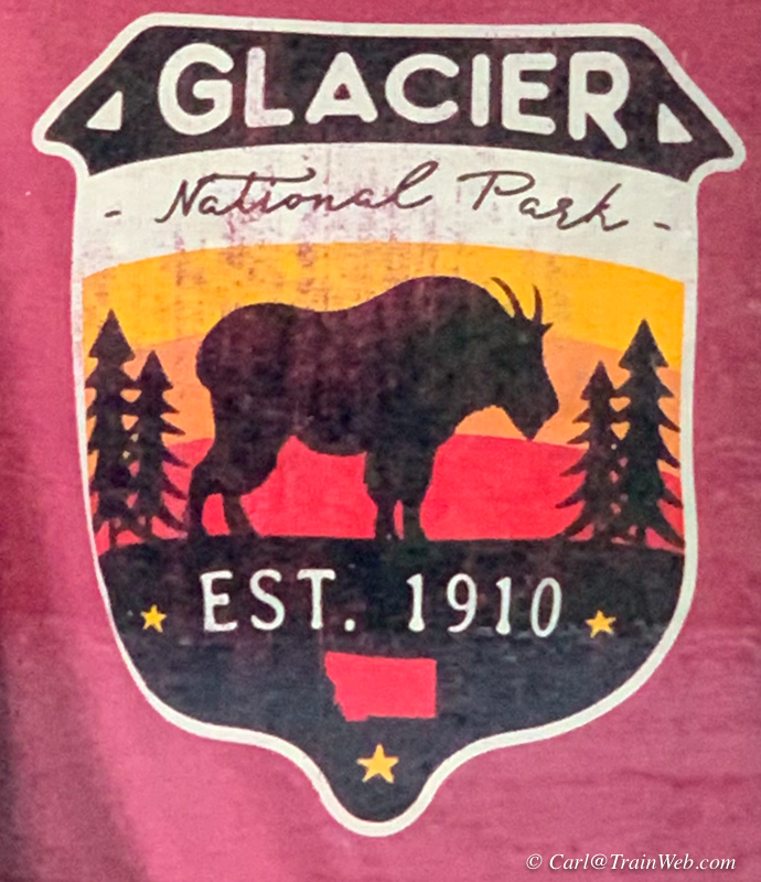
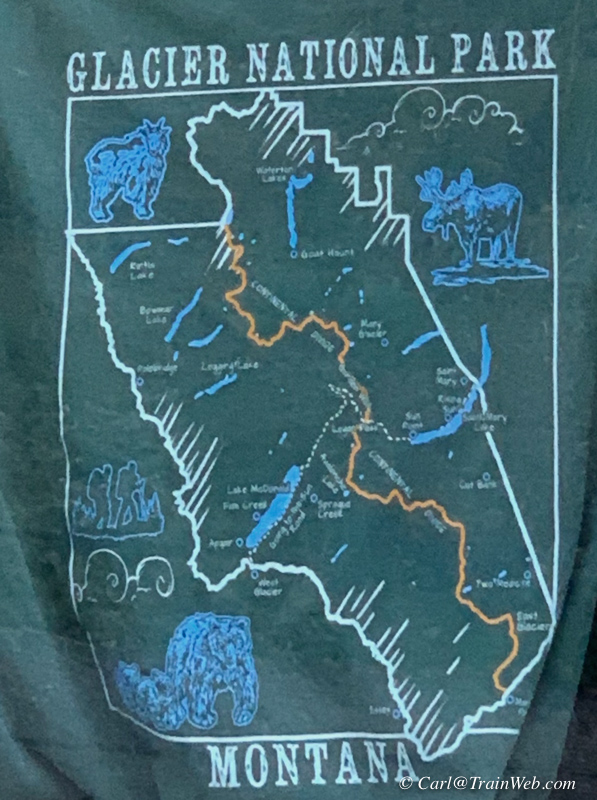
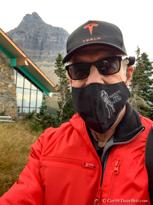
Some of their sweatshirts were in their window.
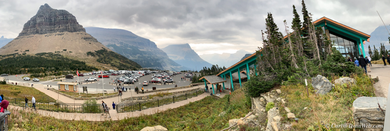
View from the Visitor's Center including a Red Bus in the parking lot.
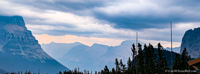
Telephoto shot of the above panorama scene.

Going-to-the-Sun-Road eastbound toward St Mary.
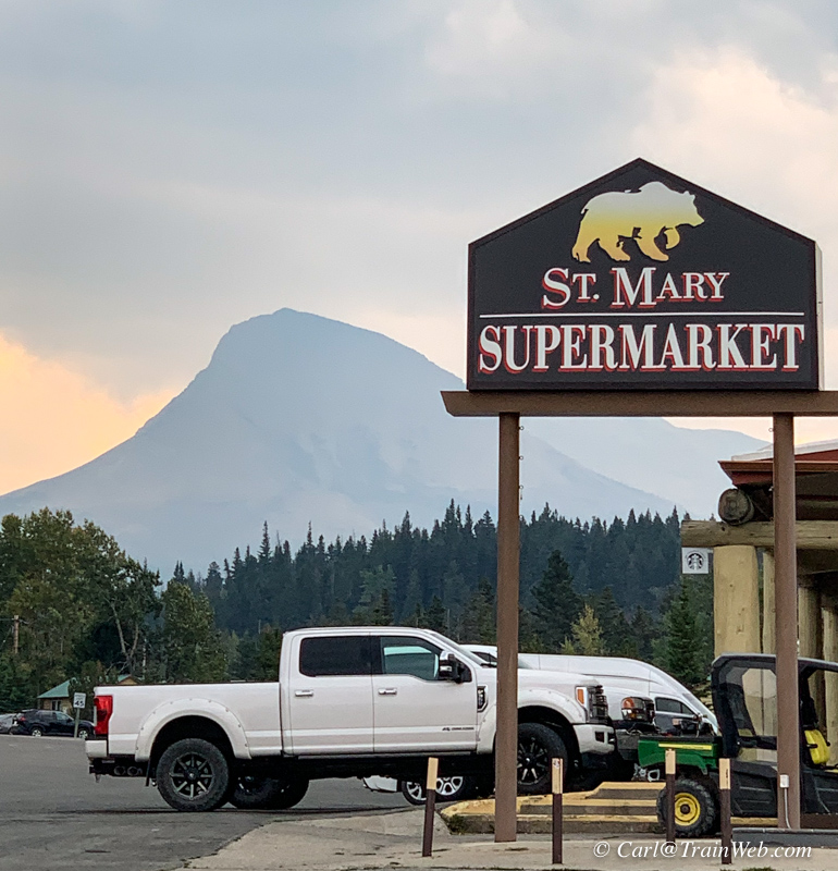
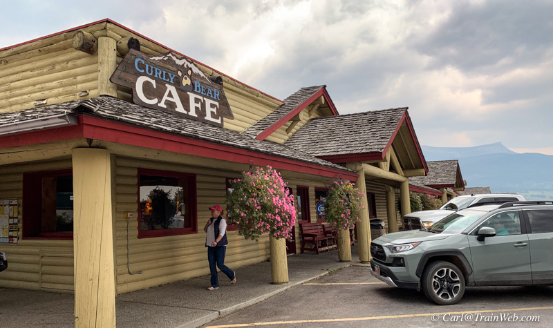
The Cafe was closed and no other place in town was open.
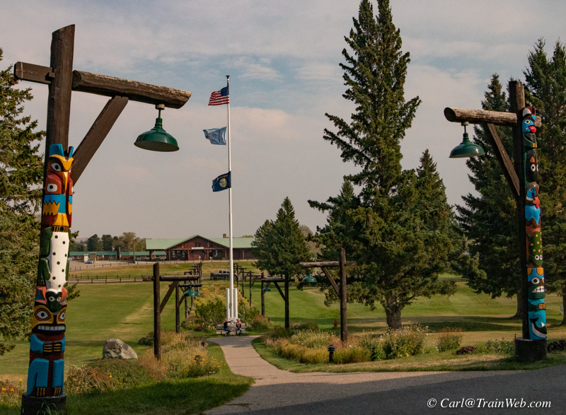
With no food in St. Mary, we proceed to East Glacier Lodge.
Above, View from front porch of East Glacier Big Tree Lodge of the
Amtrak Station.
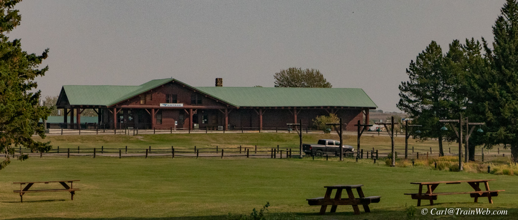
East Glacier Amtrak Station from Lodge side.
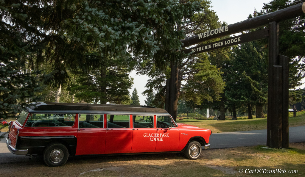
Checker Aerobus - a newer Red Bus wannabe.
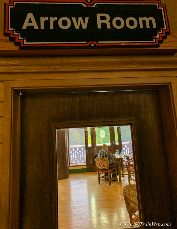
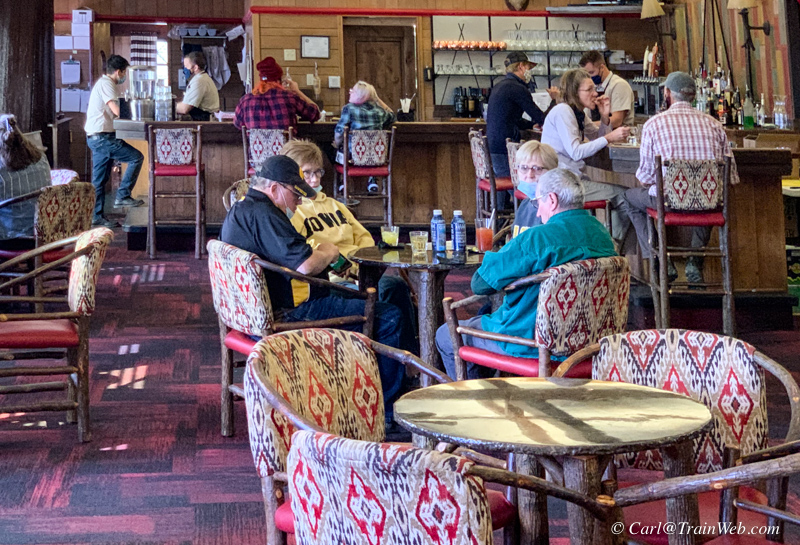
We found the Arrow Room open and serving in the Big Tree Lodge.
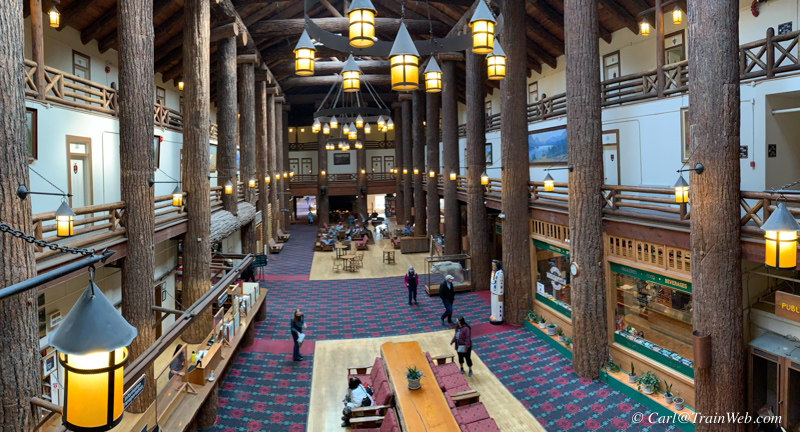
Some shots of the lobby of the Big Tree Lodge.

Opposite end of the lobby.
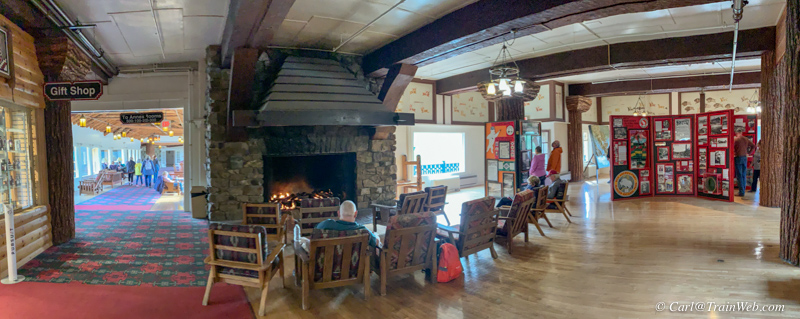
A gift shop and an art display in the fireplace end of the lobby.
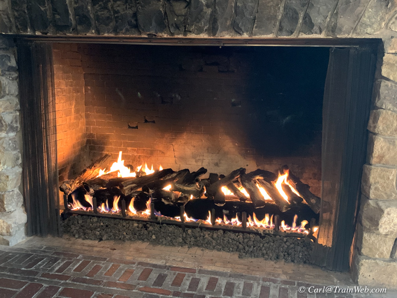
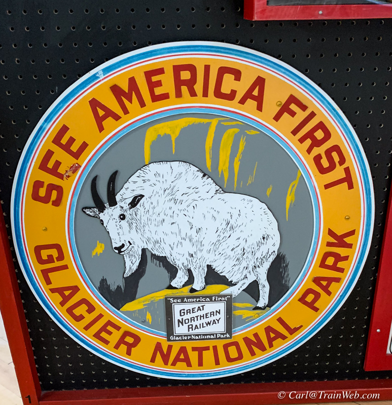
 .
.
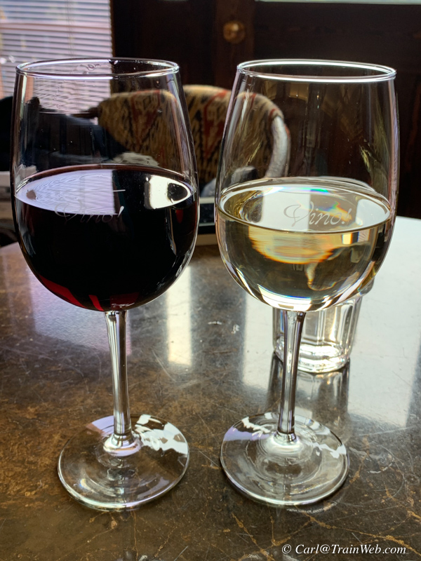
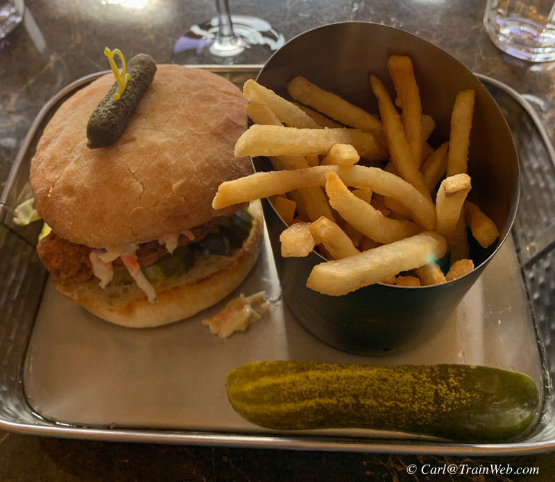
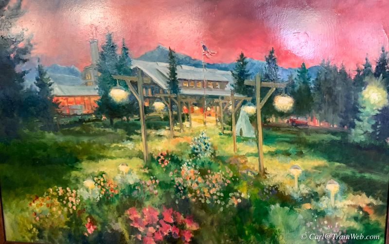
Left, Don and I have different tastes. Center, my lunch in the Arrow Room. Right, A painting in the Arrow Room.
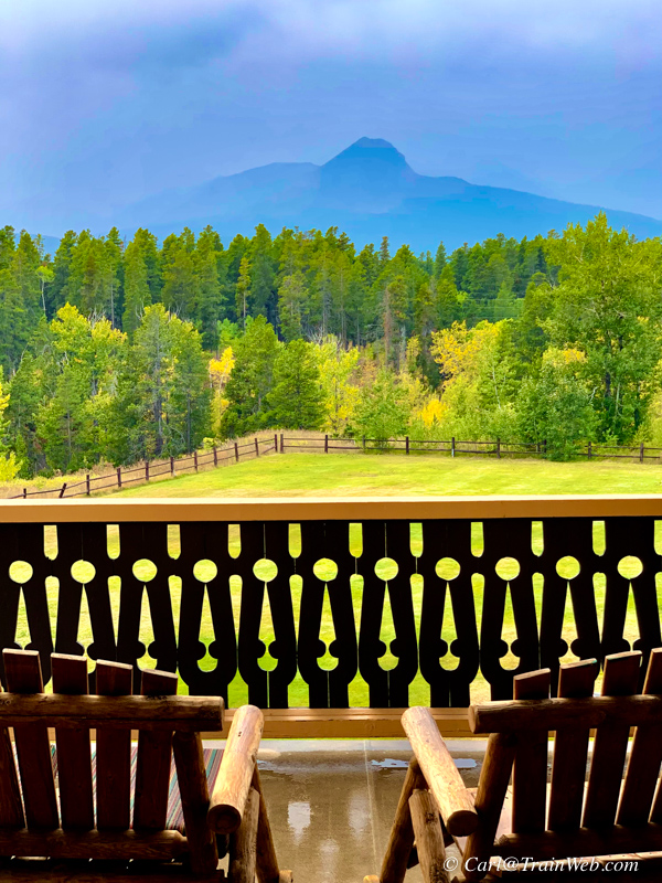
View from the porch of the Timber Lodge. Mountain was hard to distinguish in the overcast.
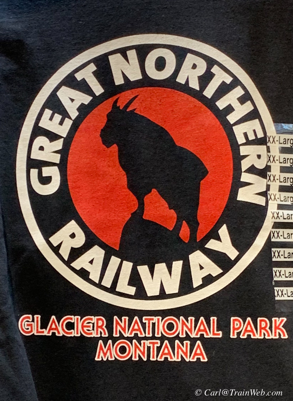
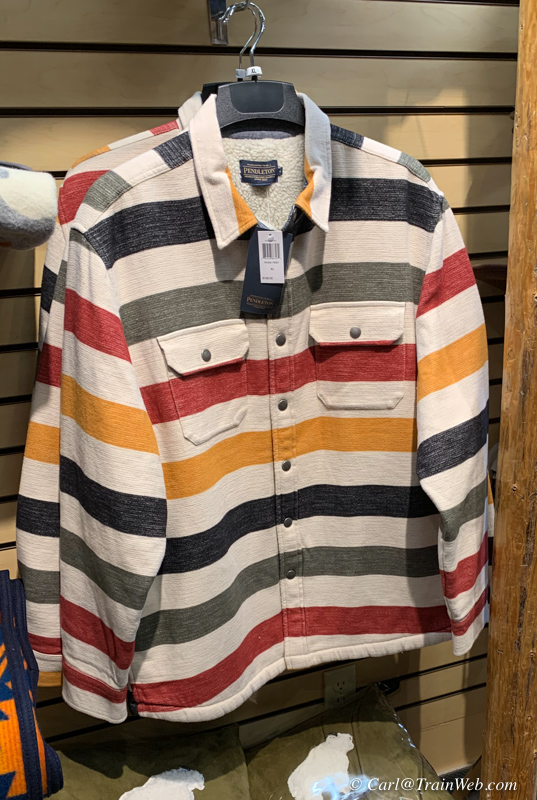
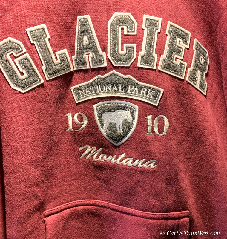
Some items in the gift shop. The center Pendleton jacket was $200.

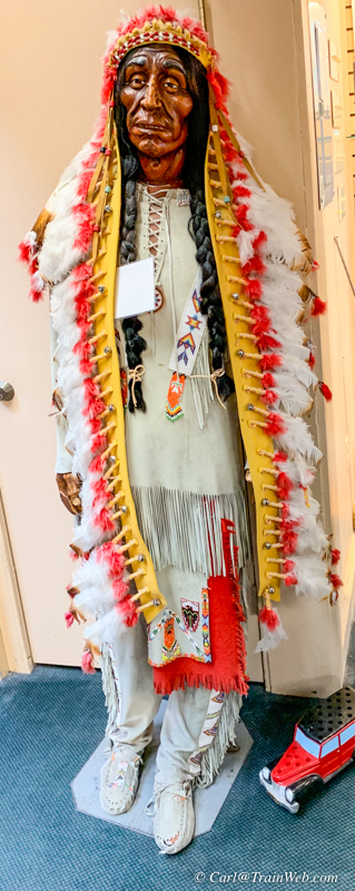
Not sure indigenous Americans would appreciate these "art pieces".
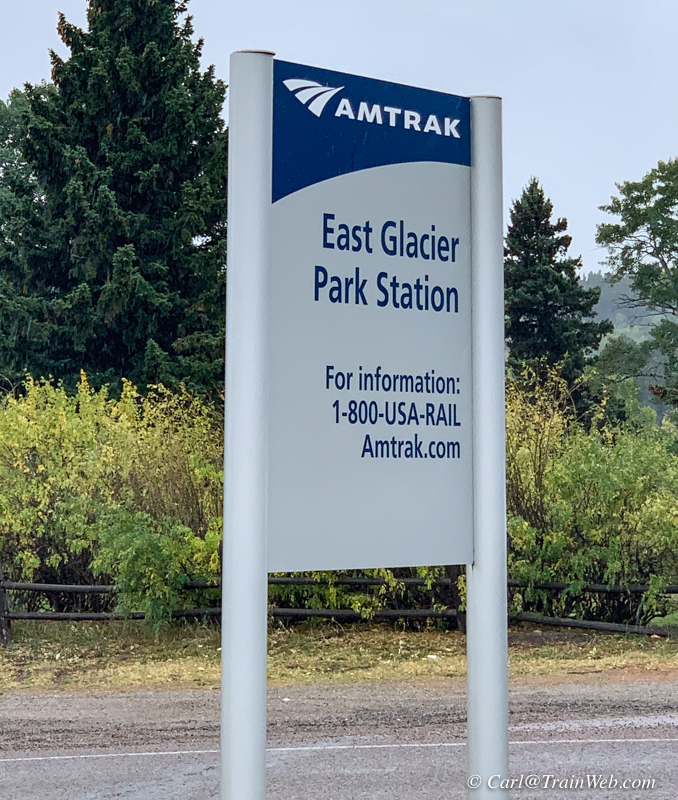

Amtrak East Glacier Park Station from the track side.
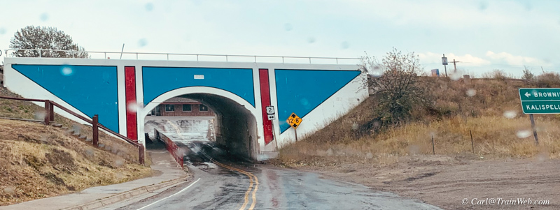
Why is it that the entrance to both East Glacier (above) and West Glacier is a road through a railroad overpass.
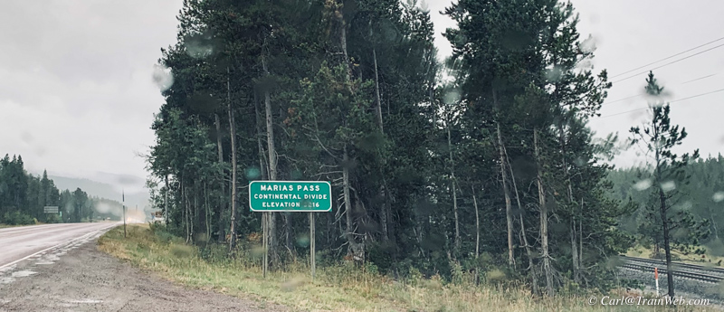
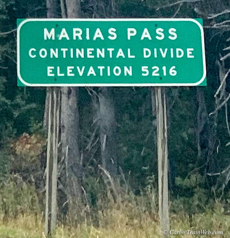
Marias Pass is where Hwy. 2 and the railroad cross the continental divide. Several monuments have been placed here.

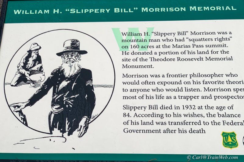
This plaque caught my attention, we're both Morrisons. It was raining, but I still got a sense of place.
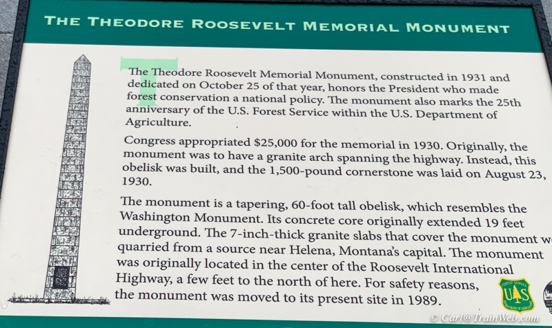
This monument was at Marias Pass, but too tall to photograph in the rain.
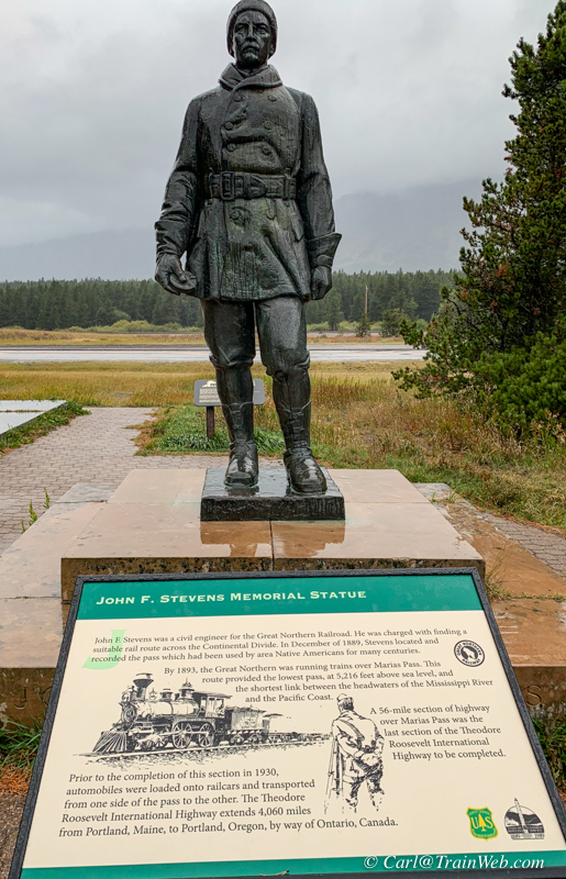

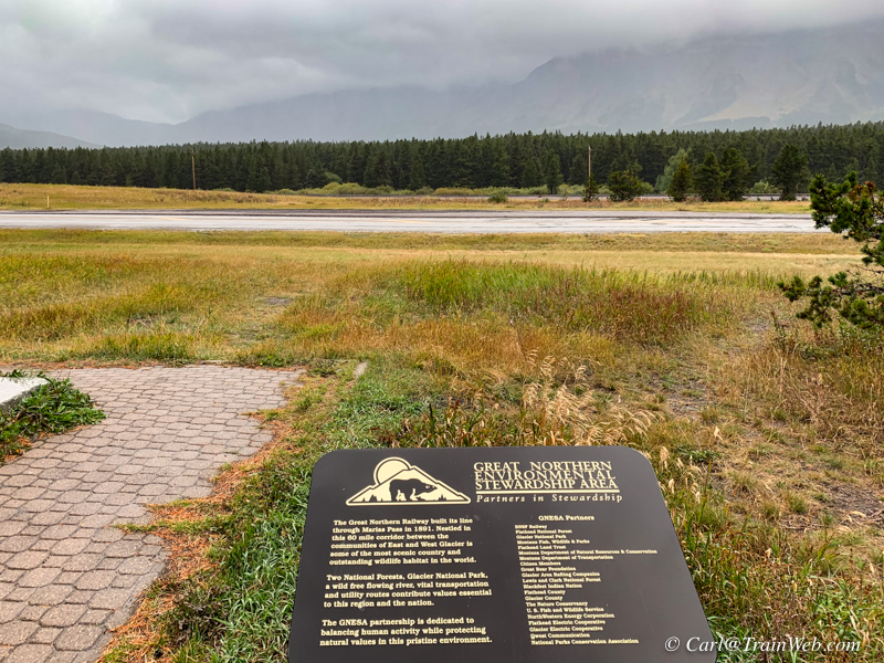
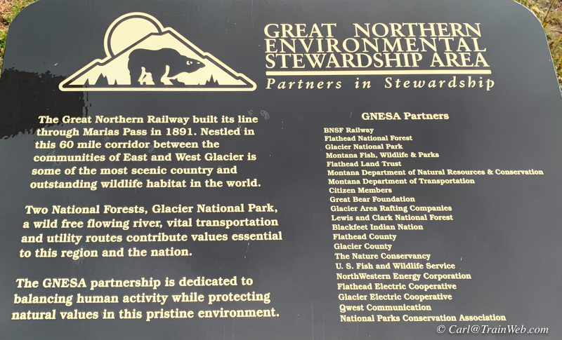
Click on any to-to-a-line photos for larger images.
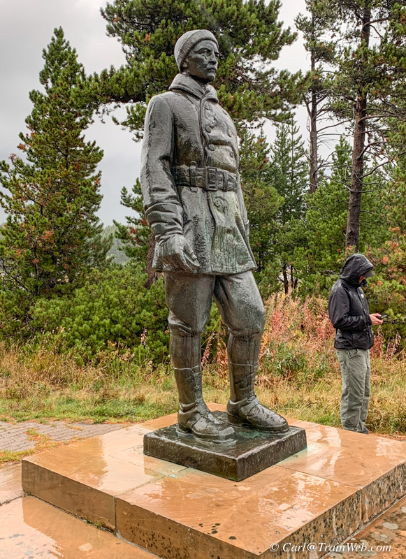
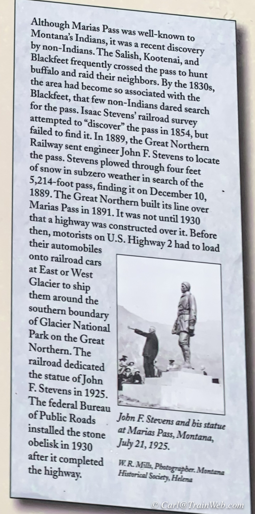
Note the creepy fellow standing around in the rain. He did not ask for help, but did not seem to have a vehicle.
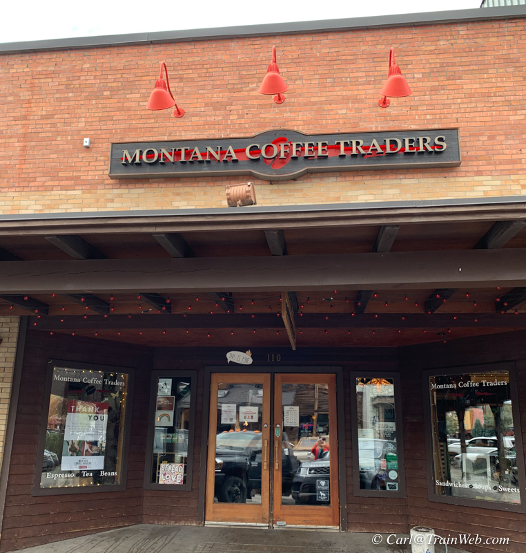
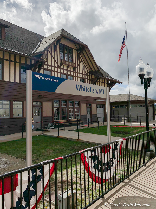
We took one day to drive to White Fish. Since Glacier Haven had
decided on Montana Coffee Traders with home office in Whitefish, I
thought I'd try some...they were closed so we went to the Amtrak
station.
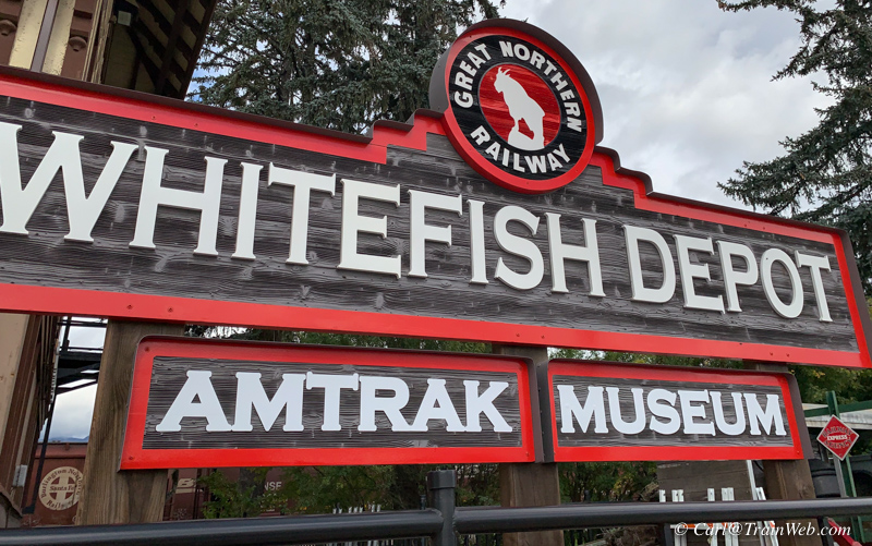

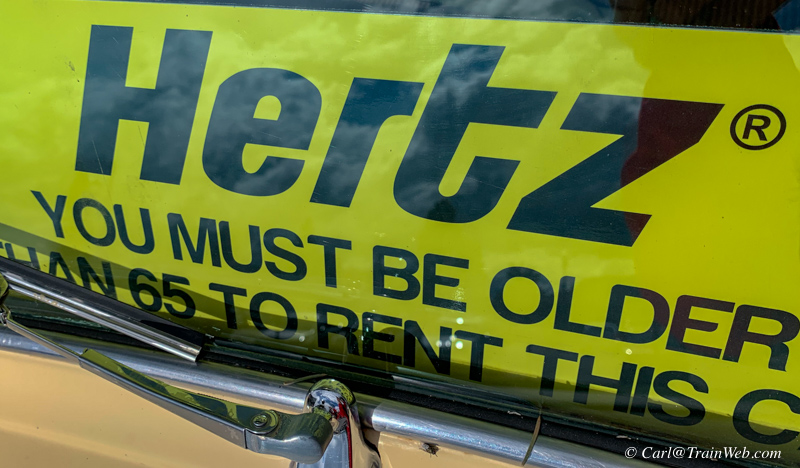
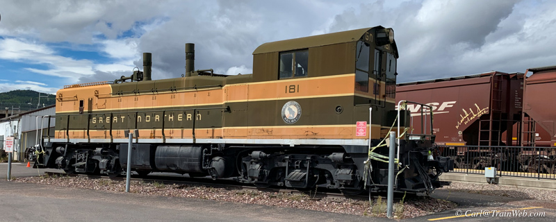
On the street side of the Whitefish Amtrak Station are some interesting and timely displays.
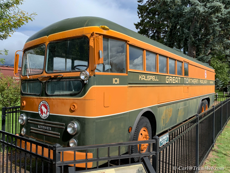
 .
.
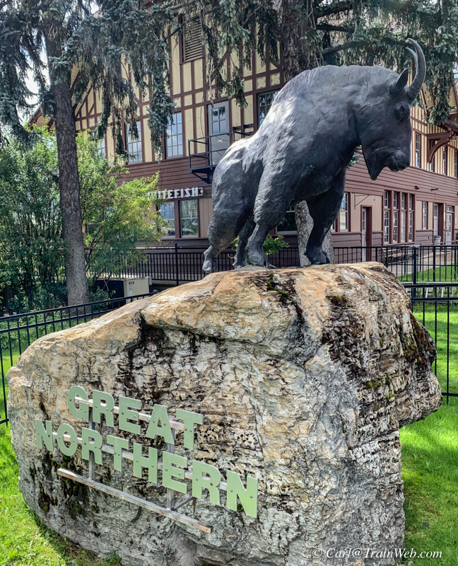
We had seen the track side of the station from the train when we
arrived. Locals seem to like to climb onto the Great Northern
mountain goat for a photo.
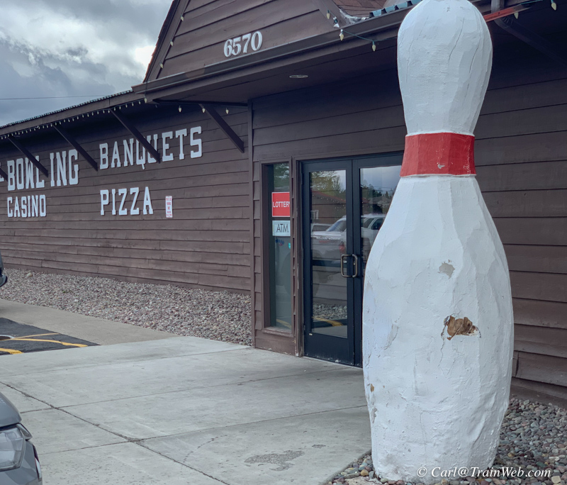
We checked several places downtown for lunch, but Sunday meant locals
filled the sports bars so we proceeded to the cafe associated with the
Pin and Cue Bowling Alley for lunch.
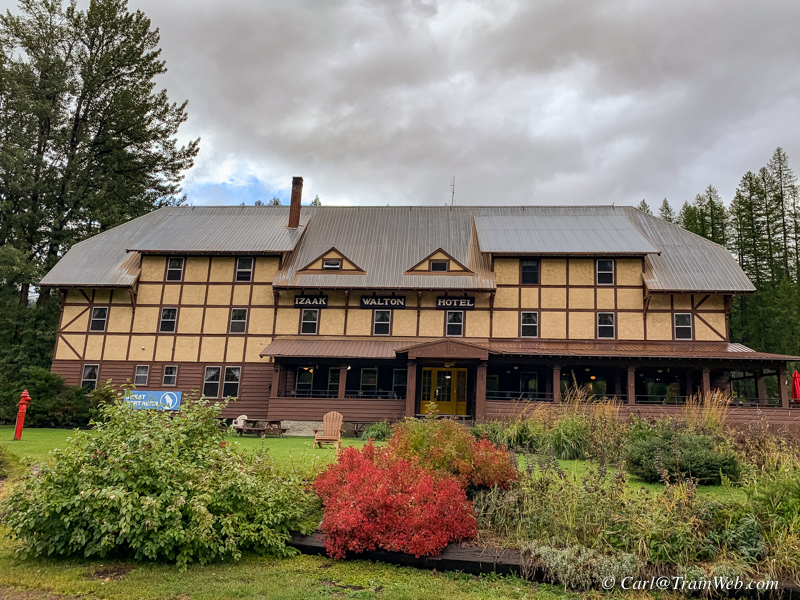
After our 3rd night at the Glacier Haven Inn and RV Park, we went
to the Izaak Walton Inn, turned in our rental car, and checked into
Room 3, left of the porch on the first floor.
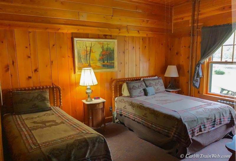
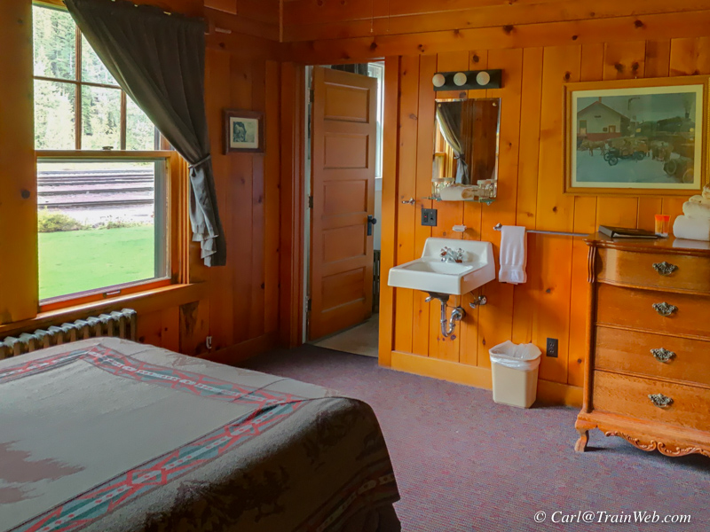
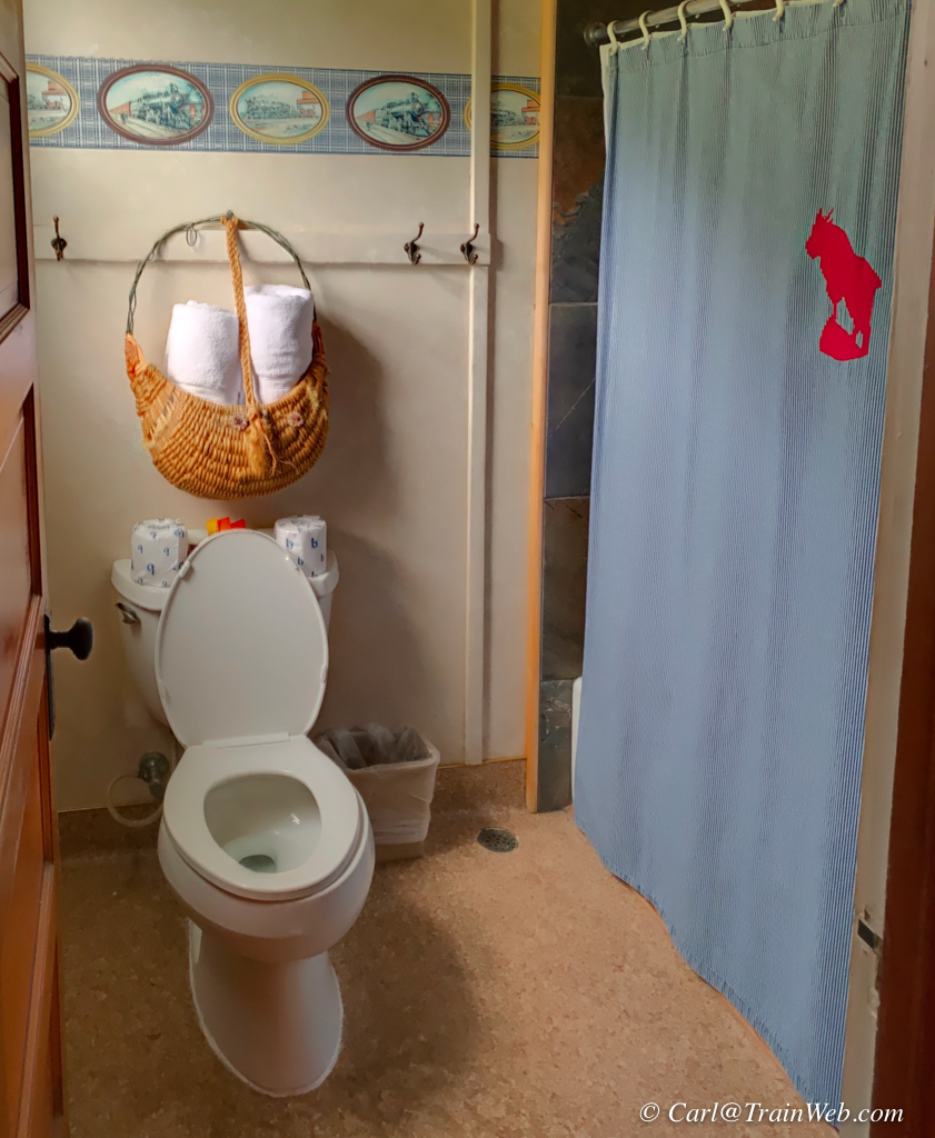
We like first floor Room 3 because of the track view and short walk to
the dining room! No stairs involved except coming up the stairs
to the lobby. We had stayed here in 2012.
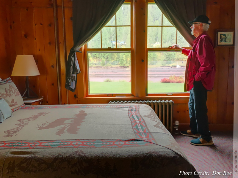
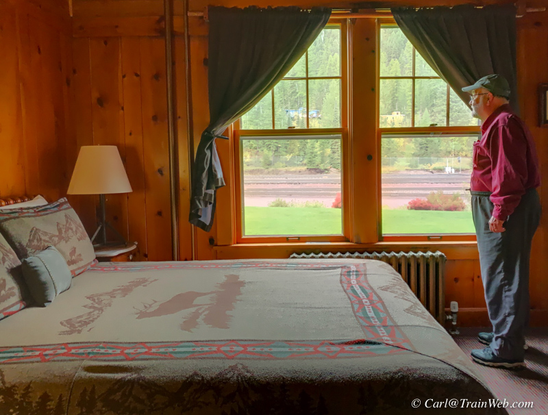
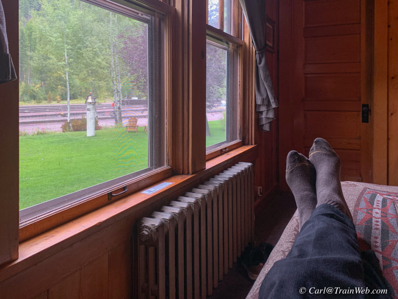
Left, Yours Truly waiting for a train, right, Don doing the same.
There is a chair you can pull up here if you get tired of standing or
sitting on the bed. The steam radiator is your heat, but when it
is on, complete with the sound of banging just like I remember from
grade school, that thicker pipe of the two left of the window gets very
hot and nearly melted my computer's charge cord. Not in the photo
is a single bed, and behind us is the commode and shower. Sink is
in the room.
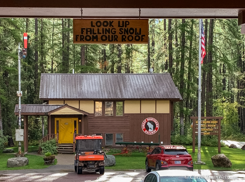
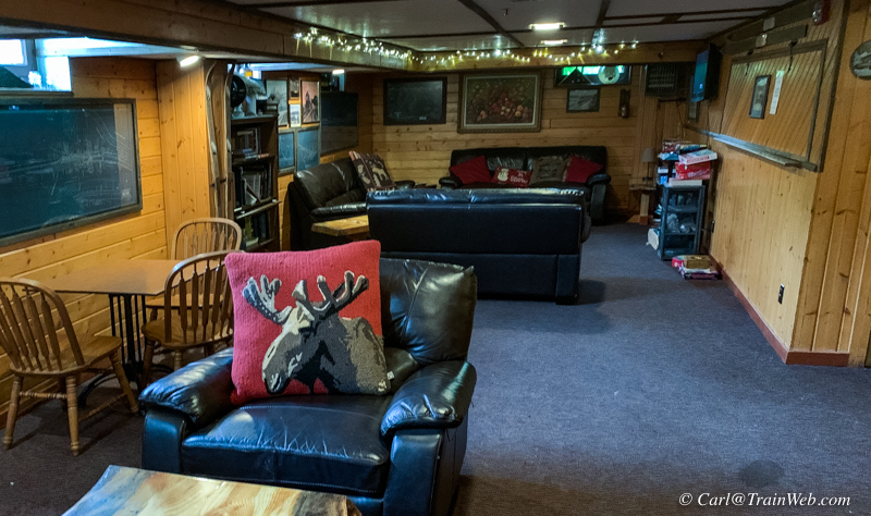
I liked the sign above the door guests enter. In the basement is
a bar with pool table and this room with TV, DVD player, some DVDs and
game table. Restrooms are downstairs as well.

Even though the weather looked threatening, I decided to take
another look at the property around the Izaak Walton Inn since we would
be here only today, tonight, and tomorrow until about 8 pm.
This is looking south with the Inn, No. 441, the uphill walk to the
pedestrian bridge over the tracks and to the cabins, cabooses, and
employee bunk house.
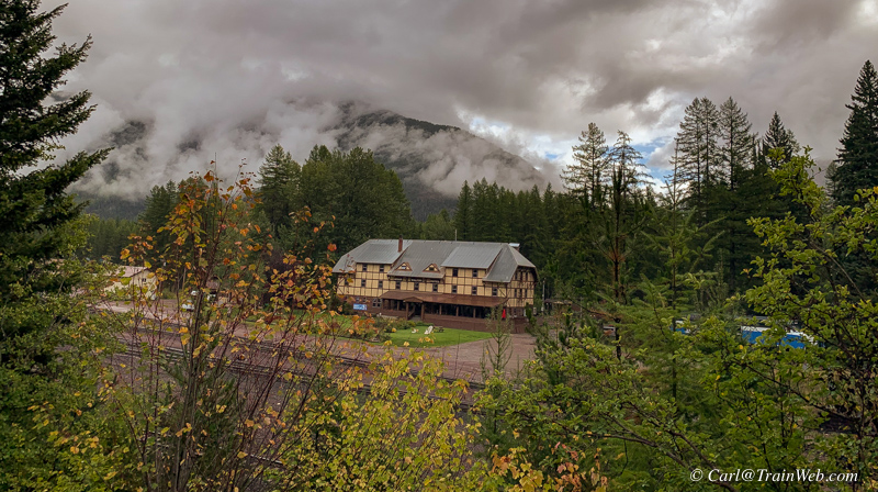
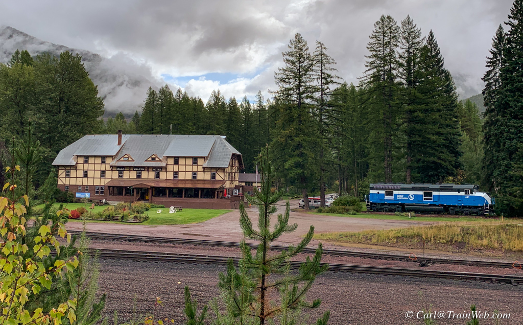
It is a challenge, but you can find a photo spot, with tracks in the foreground, sometimes with an Amtrak, across the tracks.
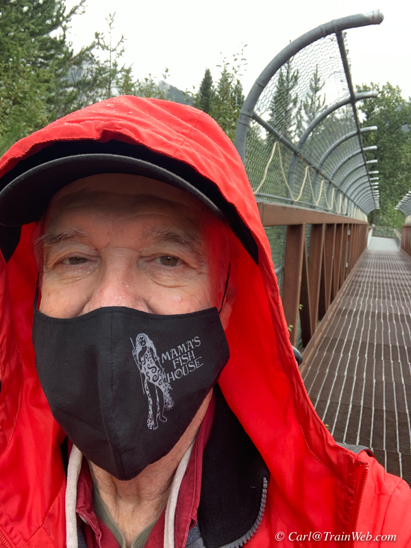
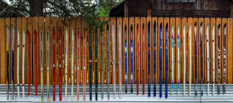
I mentioned it was drizzling on and off. I found a fence of skis, which reminded me of surfboard fences on Maui.
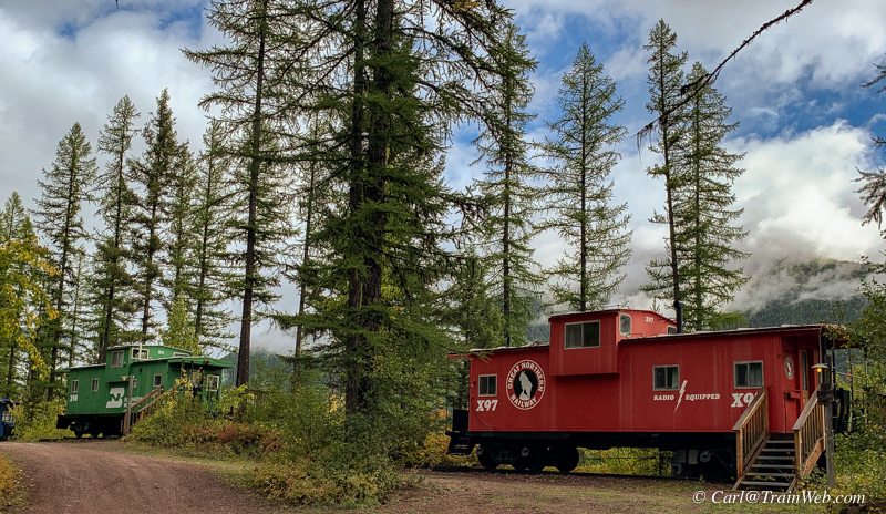
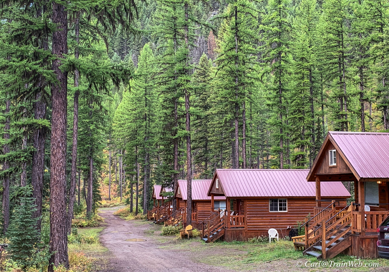
On this side of the pedestrian bridge are the cabooses you can see from the lodge, and about 5 cabins with road access.
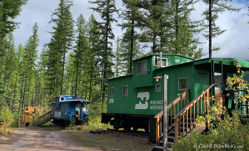
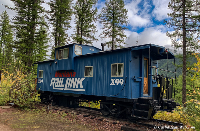
Each caboose has a porch on the track side with a view down onto the tracks and across to the lodge.
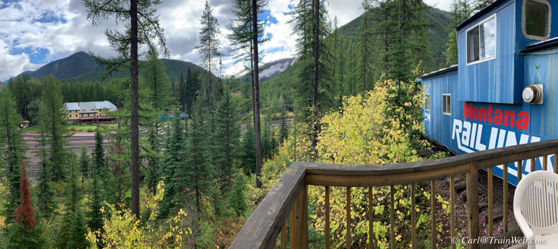
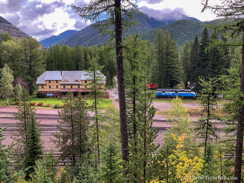
The blue caboose has the best view of the tracks and lodge.
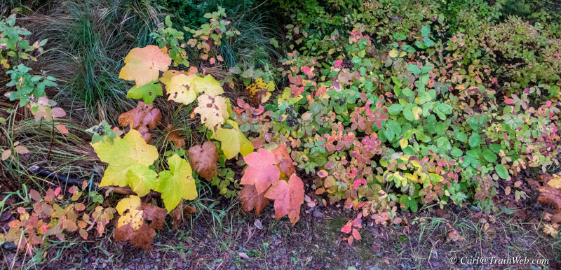
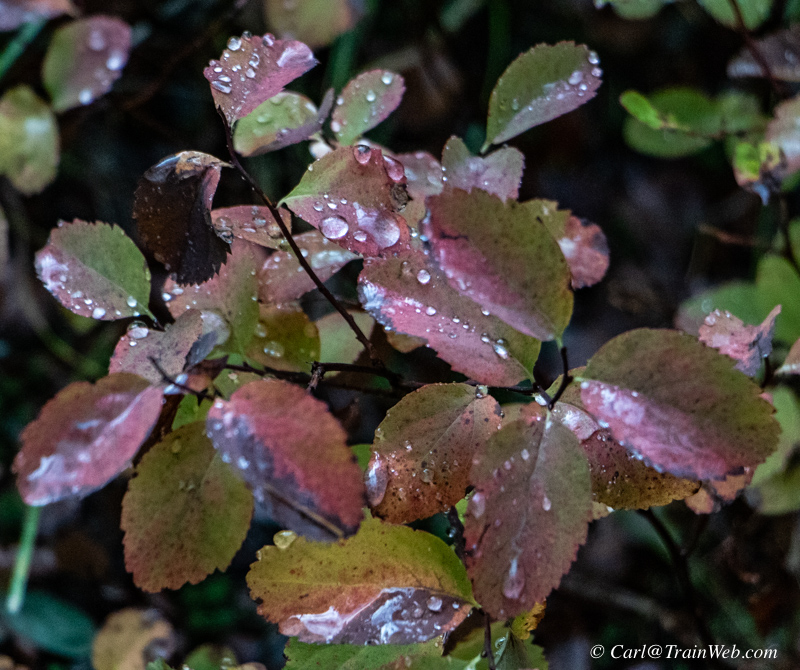
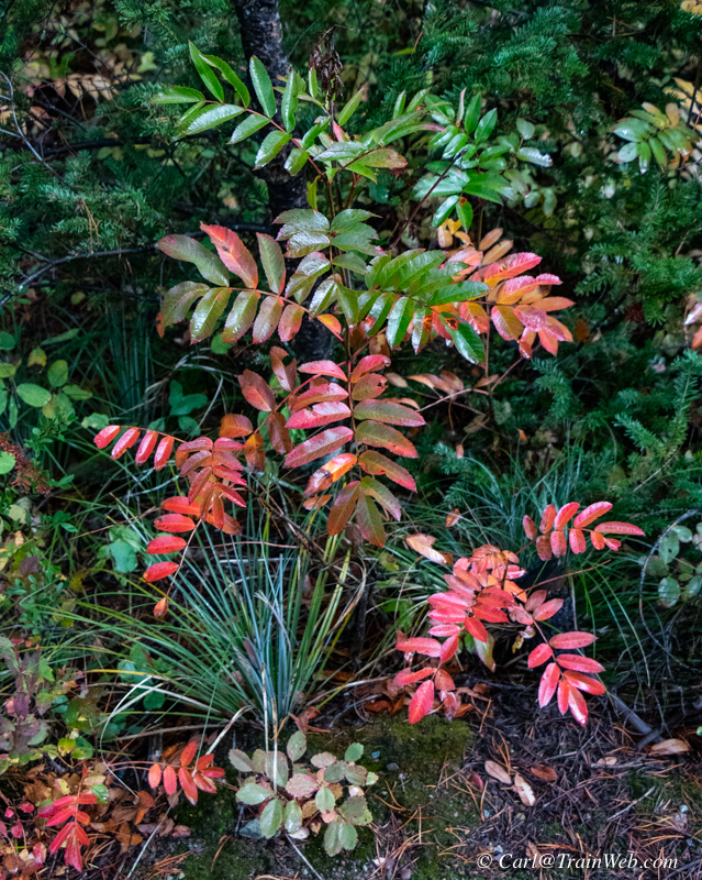
Fall was beginning to show its colors on this September 20th day in Montana.
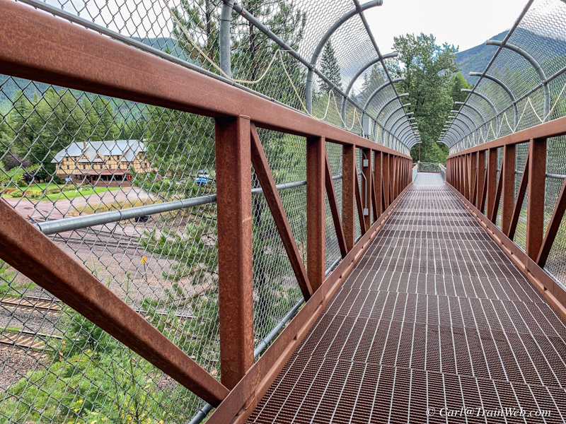
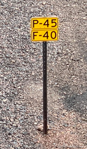
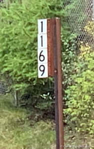
From the bridge you can see the lodge, passenger and freight speed limits, and the mile marker.
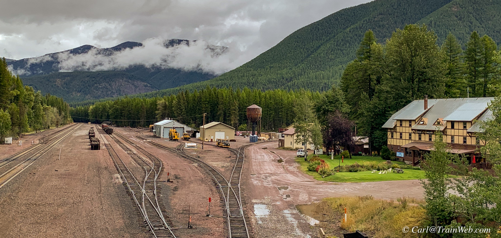
Looking north from the pedestrian bridge.
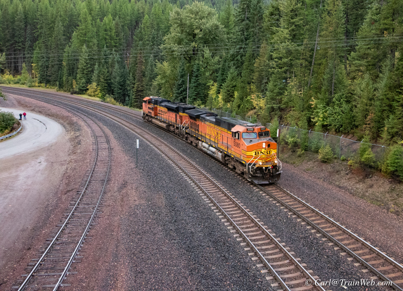
Looking south from the pedestrian bridge. Amtrak platform around the bend to the left a few yards.
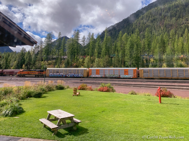
Since we decided to turn in the car, and save a day's rental, we
enjoyed time around the lodge. Don found a table where he could
read and I worked on my report with views like these above.
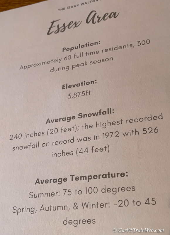
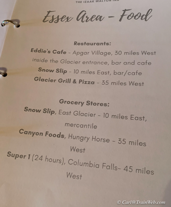
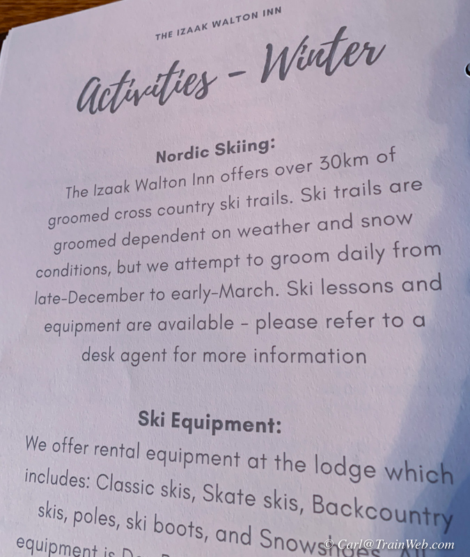
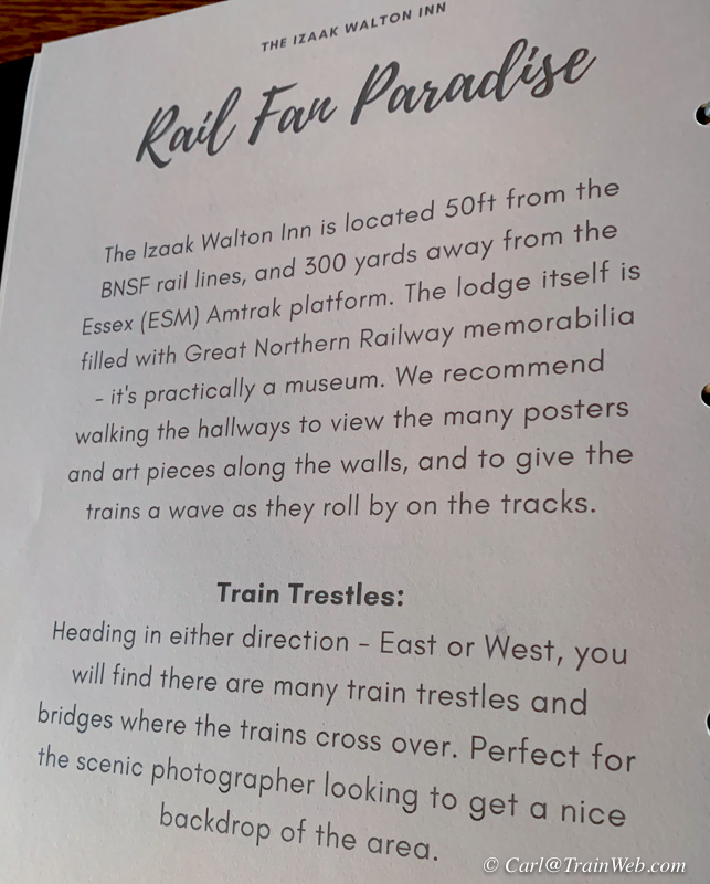
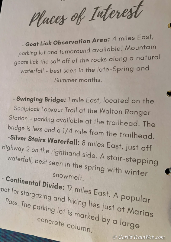
In the Inn's notebook in each room are these informative pages.
As I said earlier, Any time there is more than one photo per page, click it for a larger image.
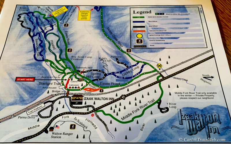
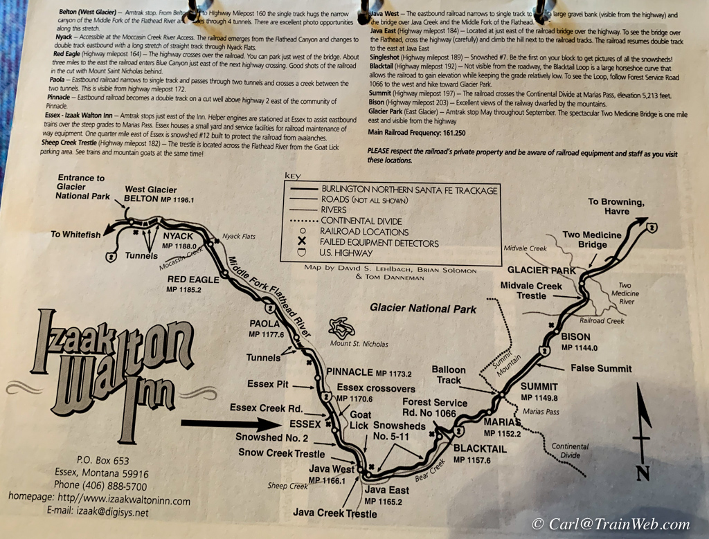
I first saw this map of train watching spots on our first trip here in
'08, and you should ask for it, they still have them at the desk.
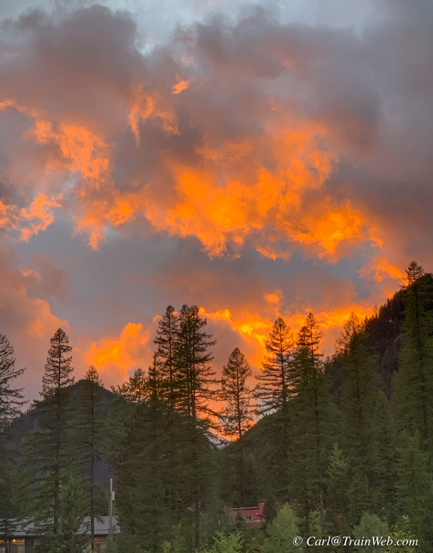
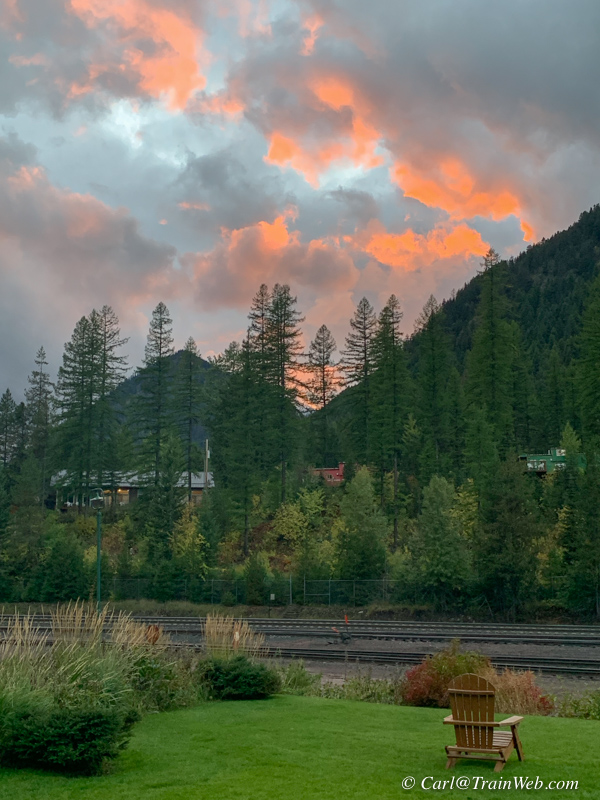
At dinner, I saw this sunset developing so stepped outside for a few
photos. The second one above shows the location with the tracks
and cabooses.
Don
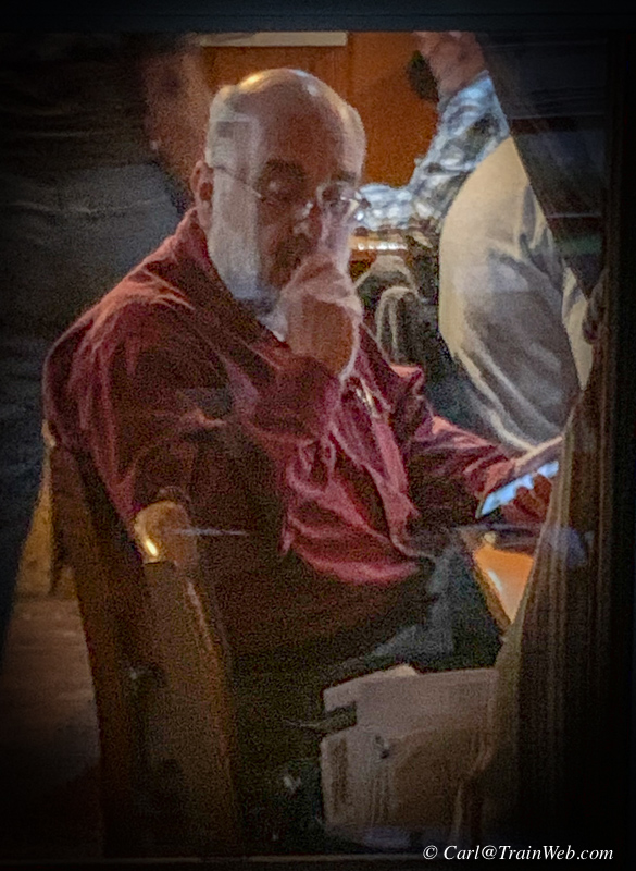
at our favorite table No. 2 or 4 with full window on the tracks.
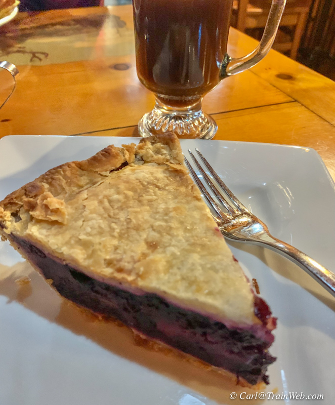
Huckleberry and peach pie and coffee became my regular supper and
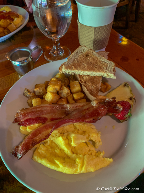
bacon/eggs/toast and coffee my breakfast at the Izaak Walton Inn.
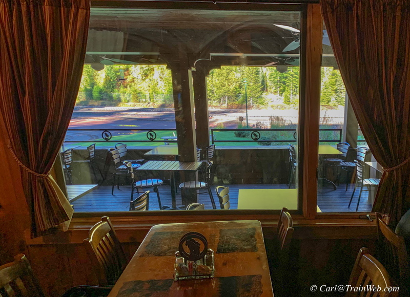
We like tables 2 or 4 with full view of the tracks through the patio.
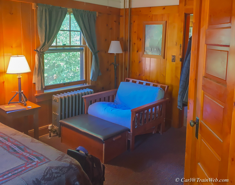
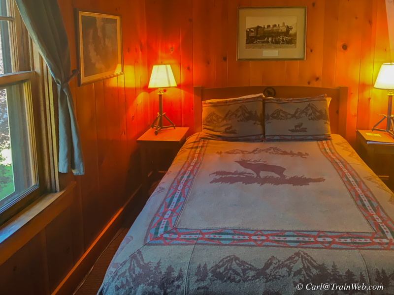
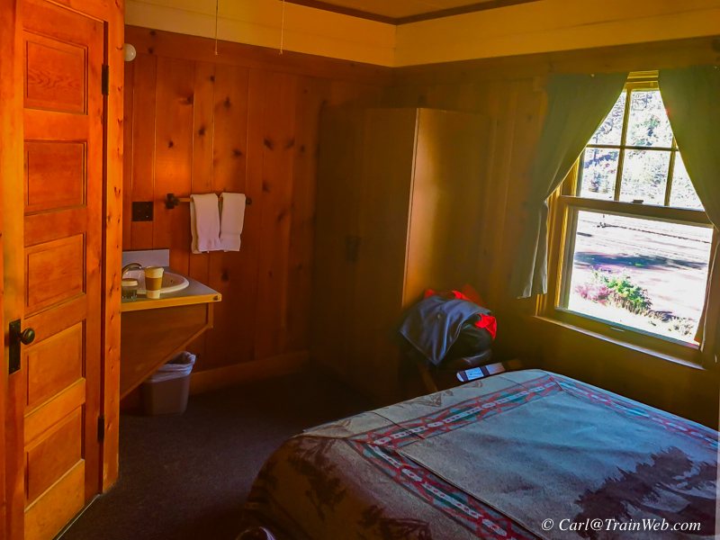
Because the Empire Builder did not pick us up until about 8 pm, we
rented Room 10, second floor, northwest corner, for the day as a place
to work and relax. We wouldn't reserve this room for overnight
because the second bed (left photo) was not as comfortable as the twin
in room 3.
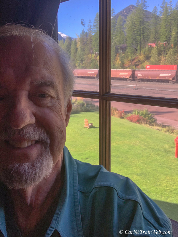
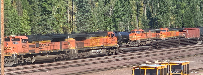
There were several train meets at the Izaak Walton Inn and we caught one from the north window of Room 10.
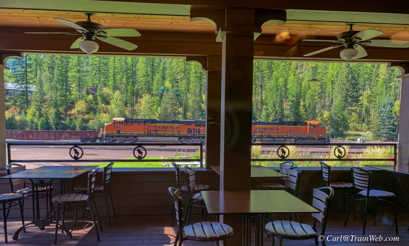
We had a late lunch in the Izaak Walton Dining Room as the local work train returned for work in the yard.
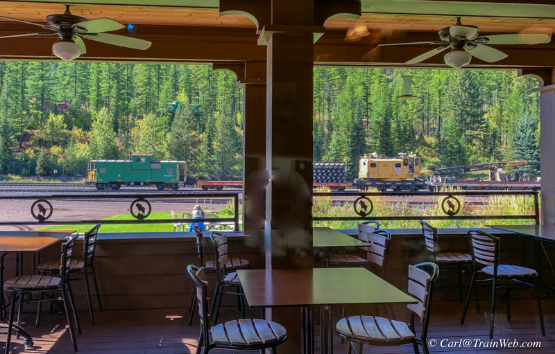
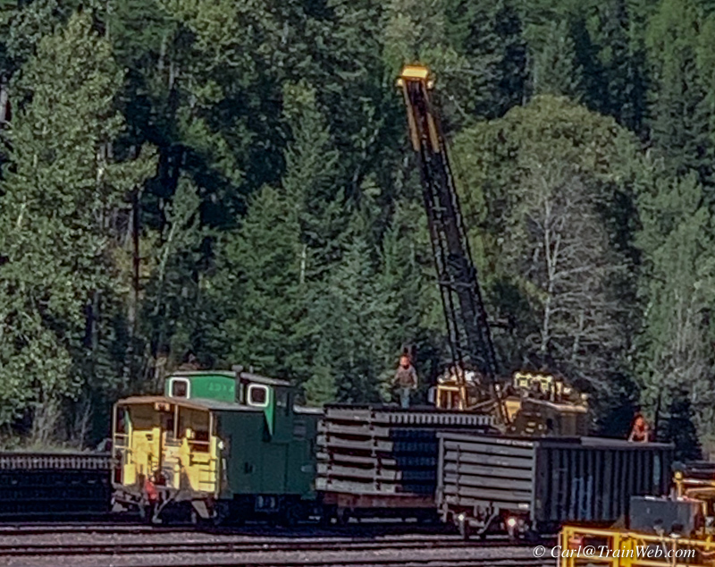
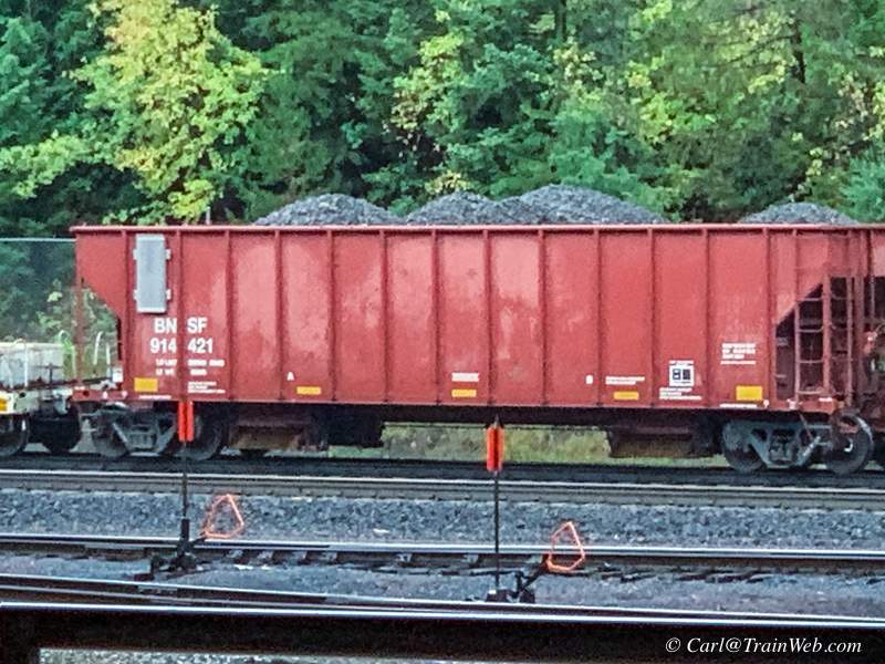
From Room 10's north facing window I watch the crane of the work train
load complete sections of track into their open car for use the next
day. The work train had a hopper car of ballast and an
office/caboose in the regular consist. They left each day to do
work either north or south of the nearby yard.

Also stationed in the Essex Yard were these 2 helpers that we would see
often during the day either by themselves of on freights heading to or
from the Marias Pass Summit between Essex and East Glacier over the
Continental Divide.
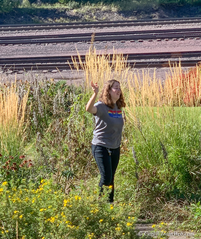
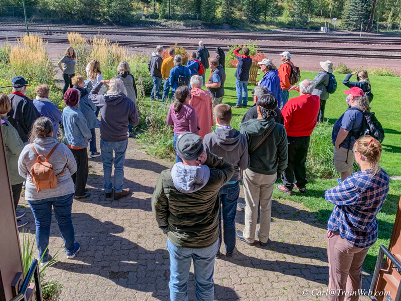
At one point during our full day at the Izaak Walton Inn a great many
folks assembled on the track side lawn. Val was multitasking as
tour guide giving history of the Inn.
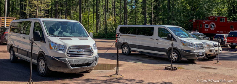
As it turned out, 3 white vans had arrived with members of the Alpine
Rail Travel Club of Saint Louis, MO, originally formed as a ski club back east.

The Empire Builder arrived at 7:40 pm to take us into the night as we had dinner in the diner.
Amtrak Empire Builder from Essex, Montana, to Portland, Oregon.
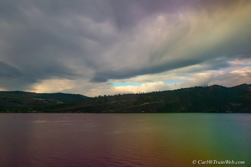
We returned from Essex on he Empire Builder to Portland, for a purpose,
to run through the Columbia River Gorge in morning light. Above, my
first view from my bunk on the Empire Builder.
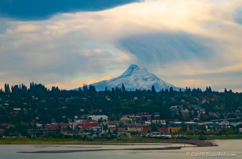
Mt. Hood past Mt. Hood City.
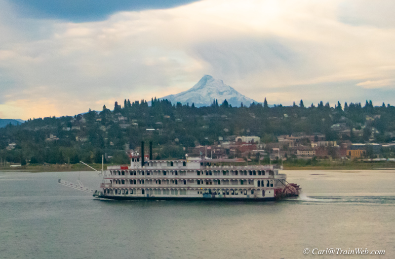
A Columbia River paddle wheeler, similar to the one Sue and I took some
years ago, lines up with Mt. Hood for a photo from the Empire Builder.
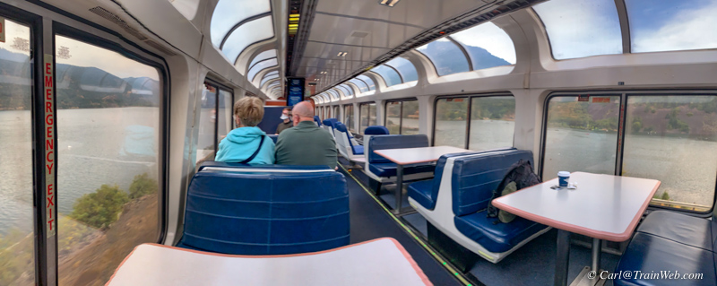
There is a spot along this route where there is water on both sides of the train.
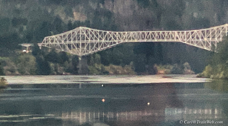
The Bridge of the Gods is a steel truss cantilever bridge that spans
the Columbia River between Cascade Locks, Oregon, and Washington state
near North Bonneville. It is approximately 40 miles (64 km) east of
Portland, Oregon, and 4 miles (6.4 km) upriver from Bonneville Dam. It
is a toll bridge operated by the Port of Cascade Locks.
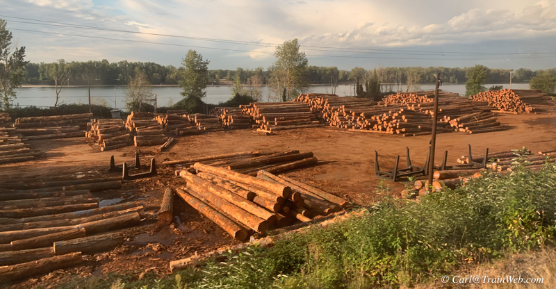
A variety of businesses along the Columbia, this one uniquely northwest.
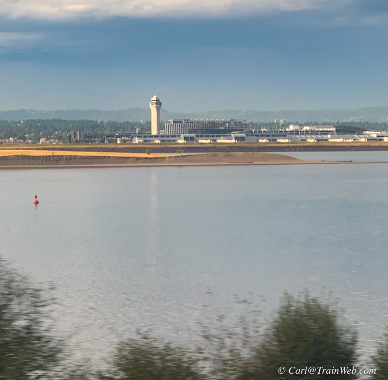
Portland Airport across the Columbia River.
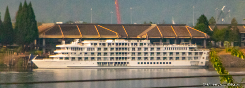
Closer to Portland, I spotted another passenger ship docked on the Oregon side.
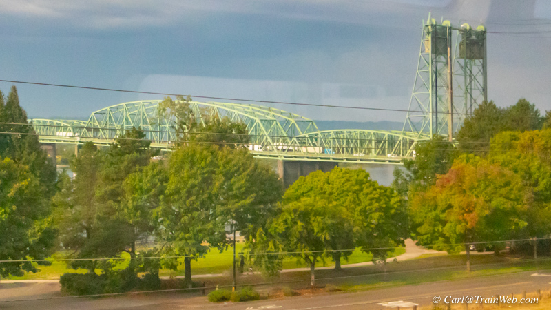
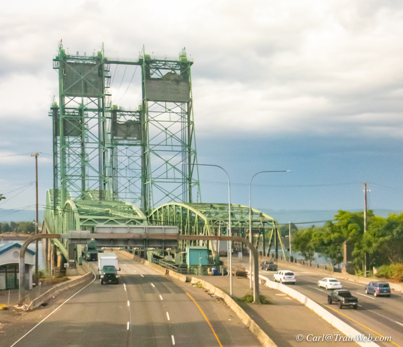
I-5 heading north passes over the Columbia River and under the Empire Builder.
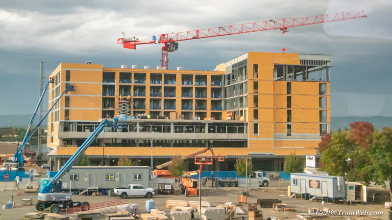
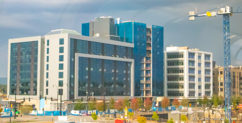
Several new, large buildings going up in Vancouver, Washington along the Columbia River.
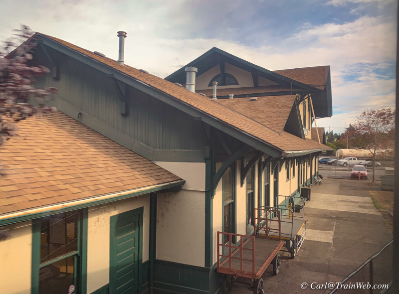
Vancouver, Washington, Amtrak Station.
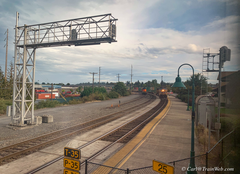
As we pass the Vancouver Amtrak Station (right) we join the track across the river and into Portland.
At this point we have made a complete circle - Coast Starlight up that track to Seattle, Empire Builder to Essex, Montana, Empire Builder back to Portland.
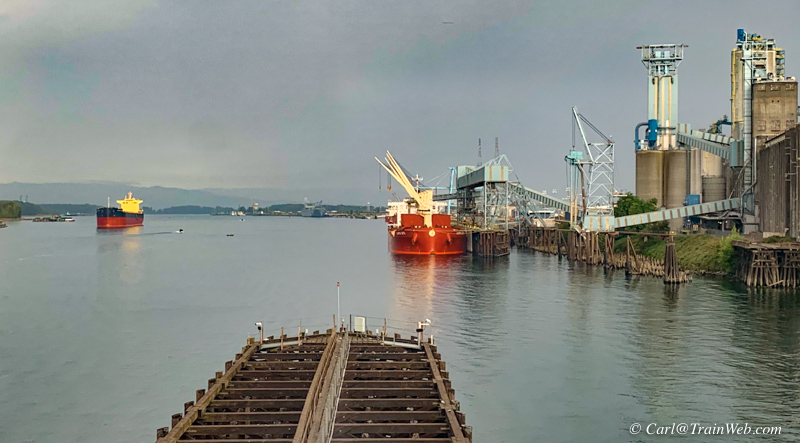
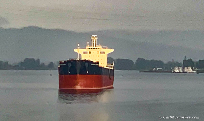
Crossing the Columbia, we see ocean-going ships loading US produce for export overseas.
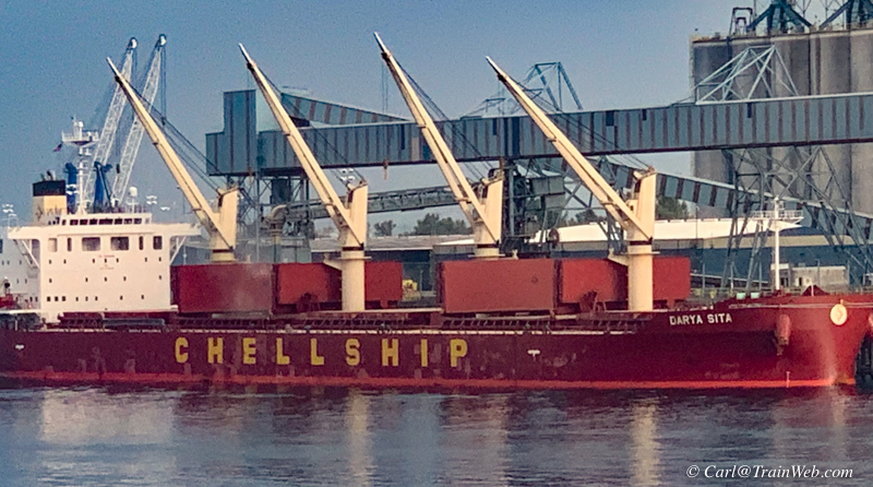
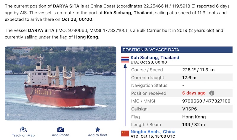
The Darya Sita eventually went to Thailand.
I found this site for tracking ships when you know the ship's name: https://www.vesselfinder.com/vessels/DARYA-SITA-IMO-9790660-MMSI-477327100
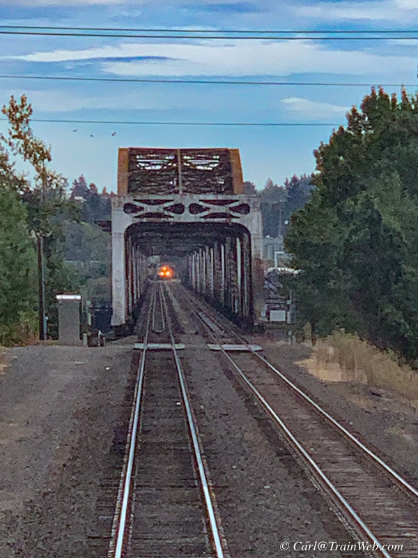
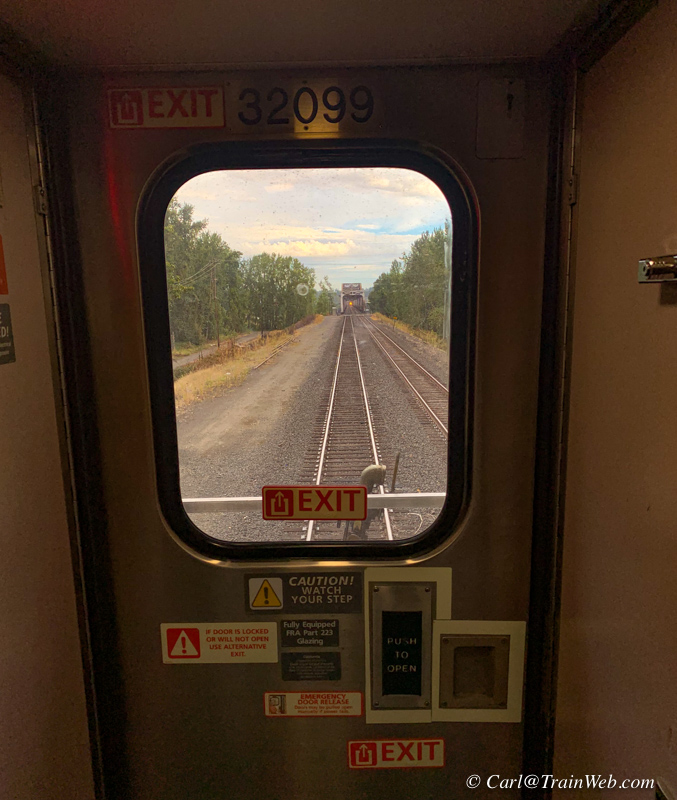
After crossing the river, we stopped and I looked out the nearby rear
"railfan" window to see a freight approaching on the adjacent track.
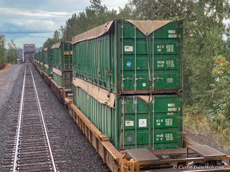
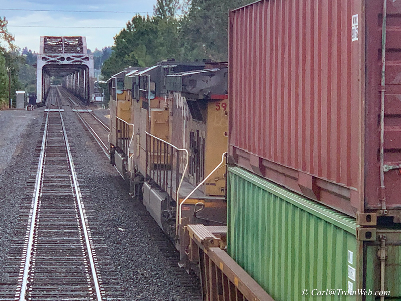
I noticed the freight that passed us in the same direction seemed to be loaded with trash in
ocean-going containers with UP 5944 and 7345 locomotives at the end of
the train.
Do we ship trash over-seas? If so where does it go? Please let me know to be added to this story - Carl@TrainWeb.com
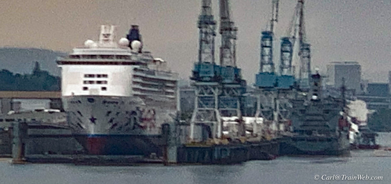
This cruise ship was still having work done. We saw this same ship in this dry dock 8 days earlier.
I believe this is the Pride of America.
As of June 2021 she is dry docked at Vigor Shipyards in Portland,
Oregon with about 200 crew members. As of August, 2021, Norwegian
Cruise Lines says that the ship will resume service in January,
2022.
Since Pride of America is registered in the U.S., she is subject to
U.S. labor laws and is staffed by a mostly U.S. crew. This is in
contrast to most other cruise ships, which are registered in flag of
convenience countries and have mainly foreign crews. In addition, Pride
of America has no casino onboard, because she never leaves U.S. waters.
The U.S. registry allows the ship to travel solely between U.S. ports,
unlike all other foreign flagged cruise ships that must abide by the
Passenger Vessel Services Act of 1886. Source.
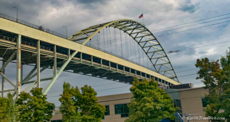
Perhaps I-5 high above the docks.
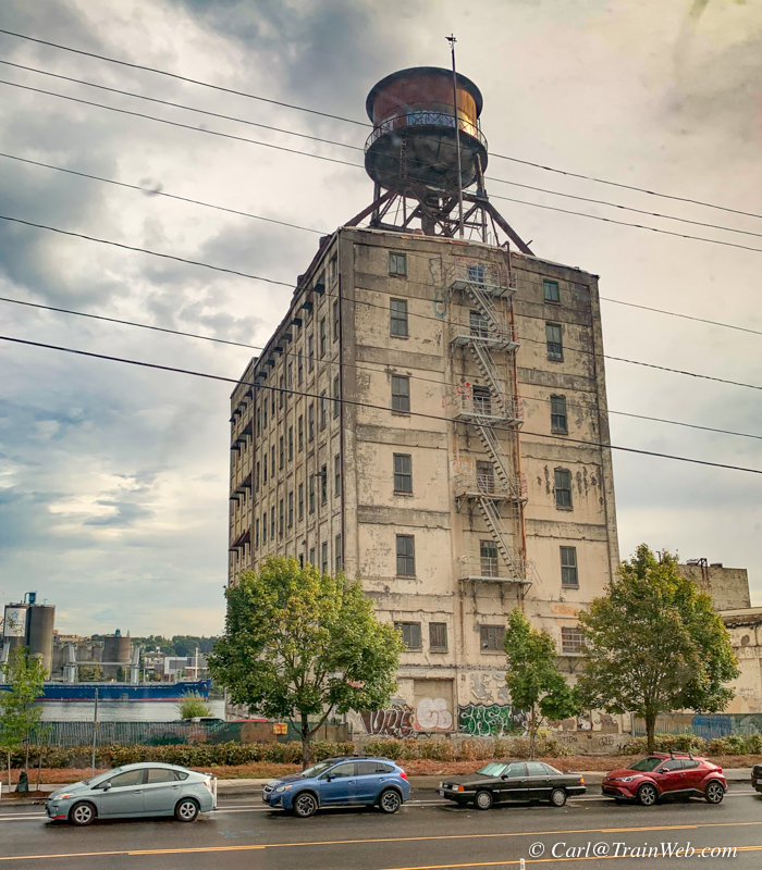
A classic dockside structure similar to model buildings found on model railroad layouts.
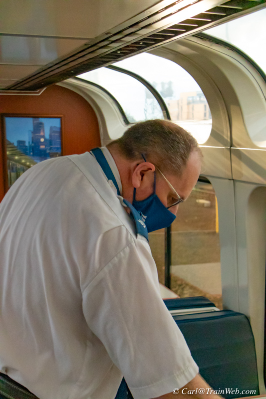
As with seemingly all Amtrak long-distance trains as they approach the
final station, all employees start closing down services, remaking
beds, and this cafe attendant chasing travelers out of the lounge with
nary a thank you for spending thousands of dollars to travel in the
sleepers.
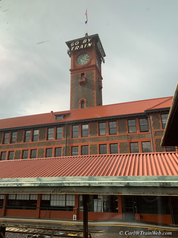
Portland was the end of our Empire Builder trip from Essex,
Montana. The Metropolitan Lounge is behind those windows on the
left.
We had several hours before boarding the Coast Starlight for our trip back to Orange County.
That would have been enough time to go into downtown, but have chosen
not to have a cafe breakfast with many things sold out on the train, we
opted to stay at the station. We first took our bags into the Metropolitan
Lounge and stored them FREE (compared to $10 a piece in Seattle).
We were also offered a free coffee drink at the shop in the station
which I turned into a latte. Also bought a breakfast item and
NyQuill in the same shop. .

Portland Amtrak Station Metropolitan Lounge for sleeping car passengers.
Don found a table for reading and I used that large black chair at the
far end of the lounge and set up my computer for processing more of
this report and photo editing.
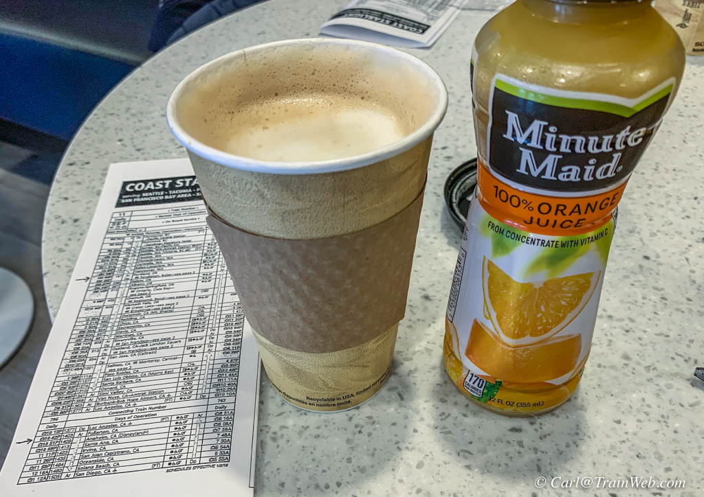
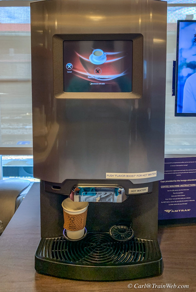
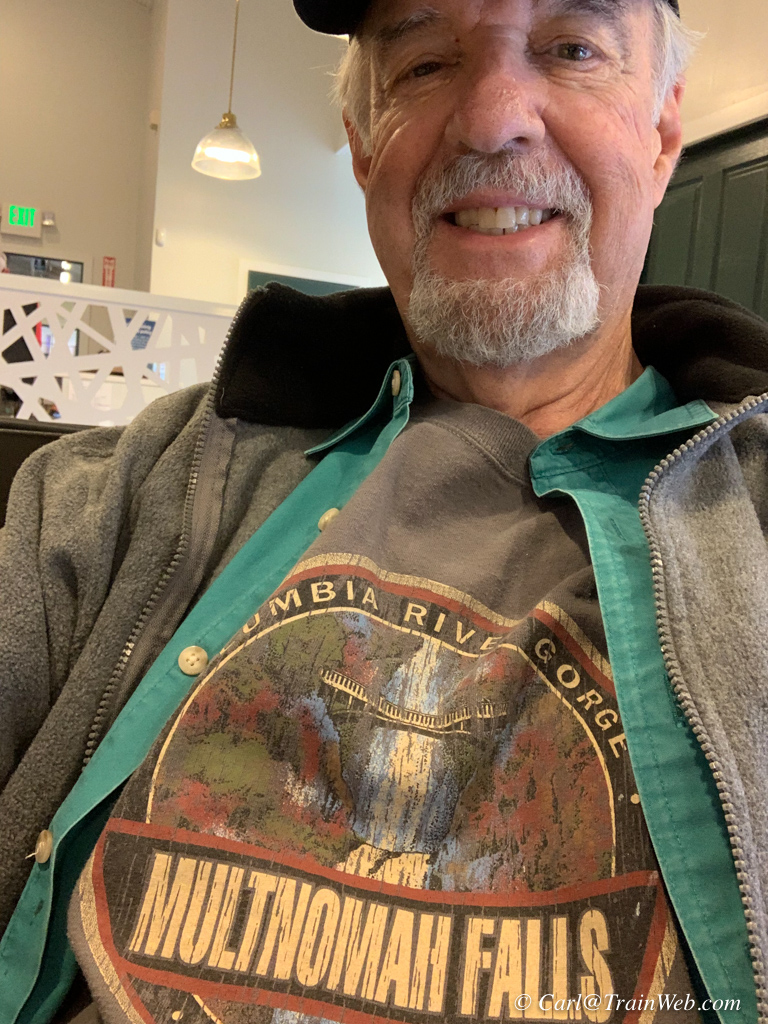
As it turned out, the Portland Station's Metropolitan Lounge also had a coffee machine and other drinks, and a Coast Starlight schedule for the rest of the trip.

After a few hours computer work in the Metropolitan Lounge at the Portland Station, our Amtrak Coast Starlight pulled in.
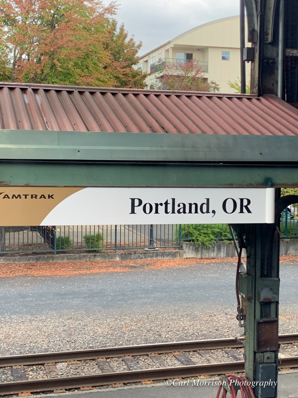
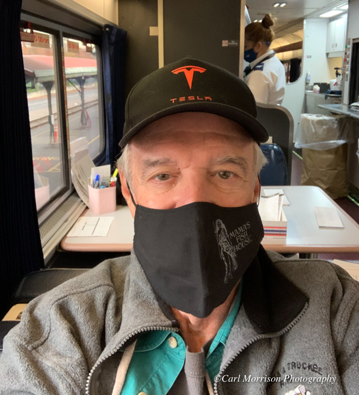
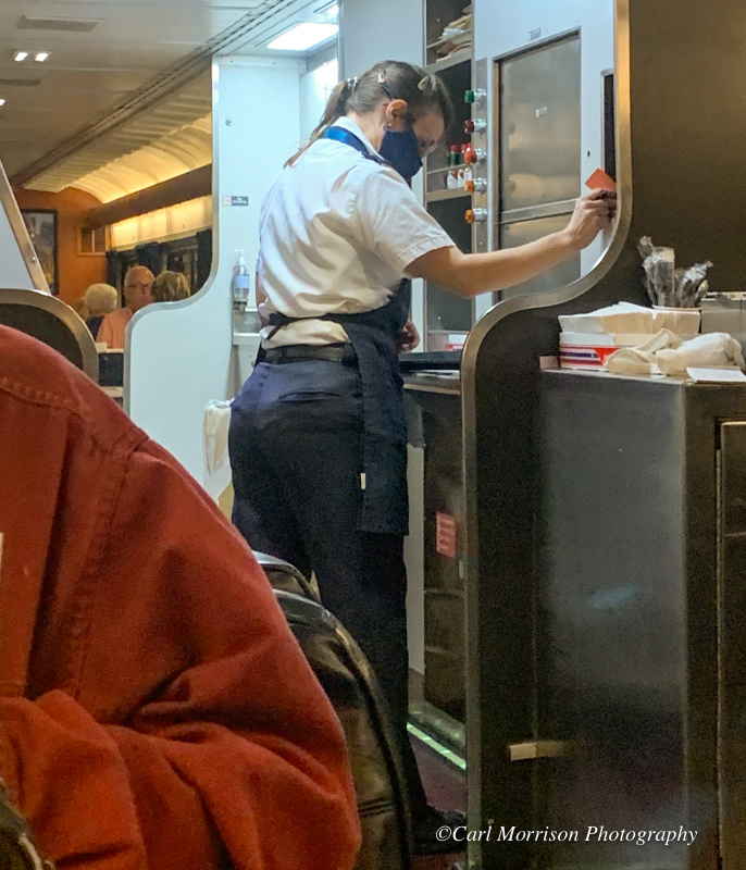
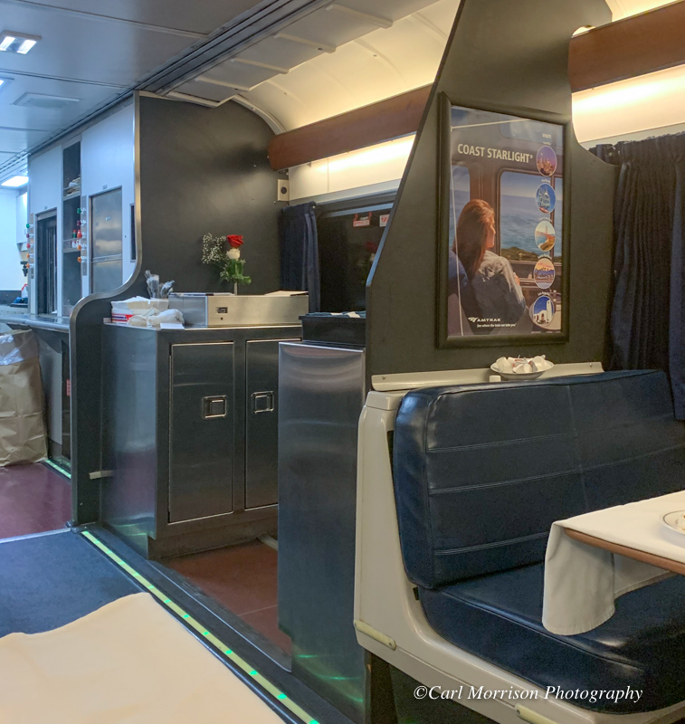
We learned upon boarding the Coast Starlight in
Portland for Los Angeles, that the diner was still open for lunch, so
we proceeded to the diner. 3rd photo above shows Andrea in the process of
"dropping their orders" from passengers down to the kitchen on the lower
level. Directly in front of the waitress is the dumb waiter for
food coming up from the kitchen below and for dirty dishes on their way
down. 4th photo is a new-to-me service area which usually takes
up a booth on pre-remodeled diners.
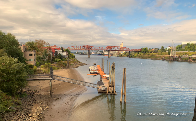
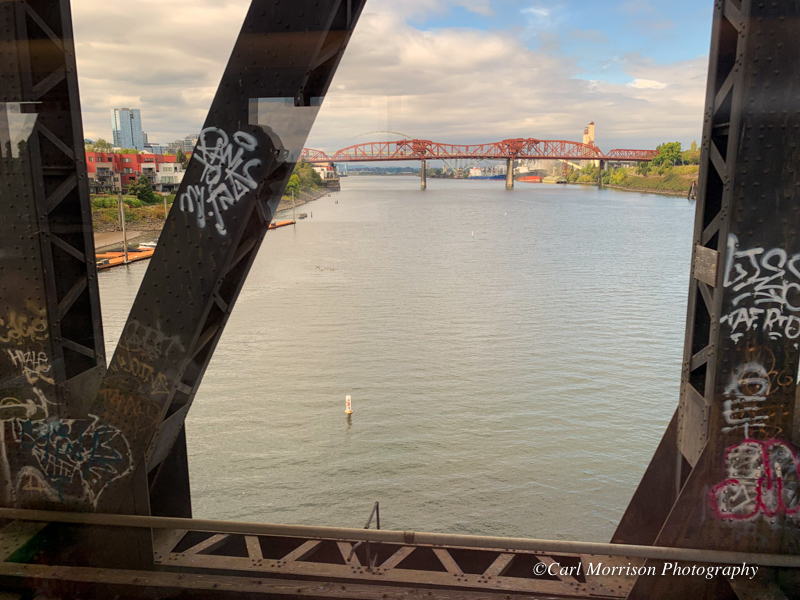
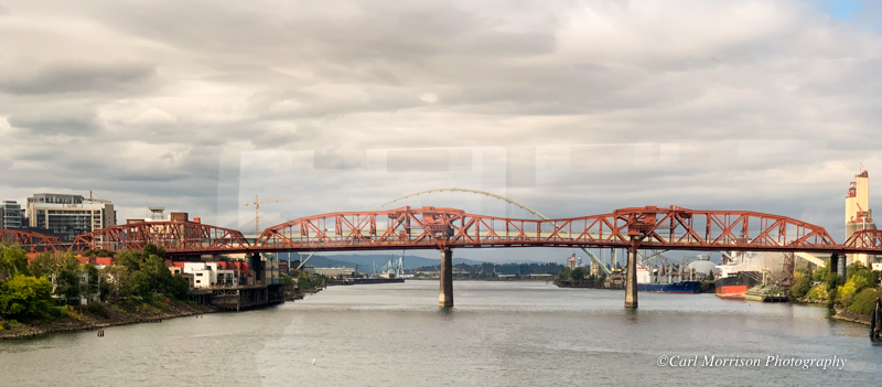
We crossed the Willamette River on the N Street Bridge and could see north the NW Broadway Bridge (above and below).
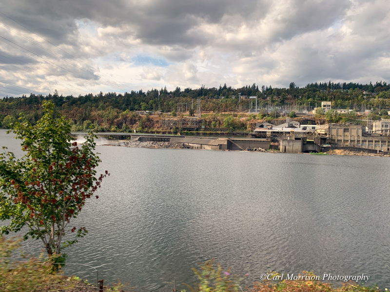
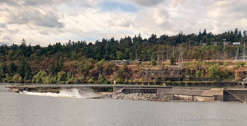
Willamette Falls Dam near Oregon City, Oregon
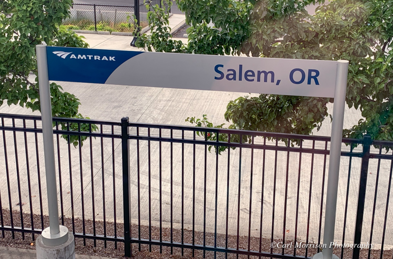
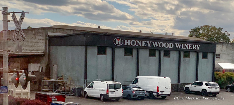
My previous history with Salem was to visit quilt shops downtown with my wife and buy sweet fruit wines online from Honeywood Winery - 1350 Hines St SE, Salem, OR 97302.
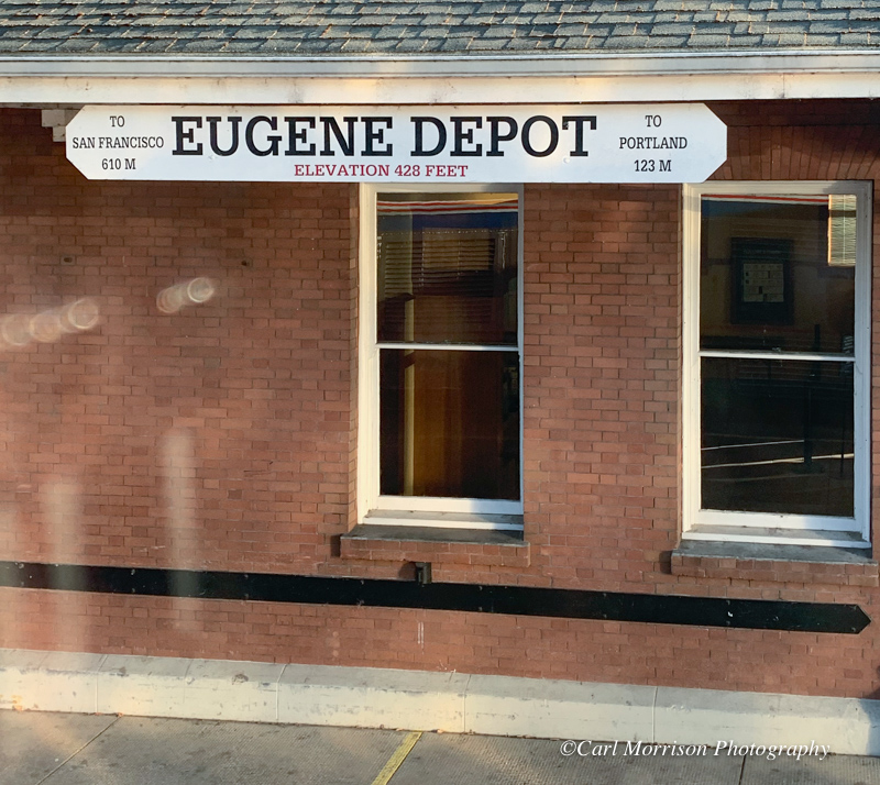
Eugene, Oregon Depot with signage: To San Francisco 610 miles and To Portland 123 miles.

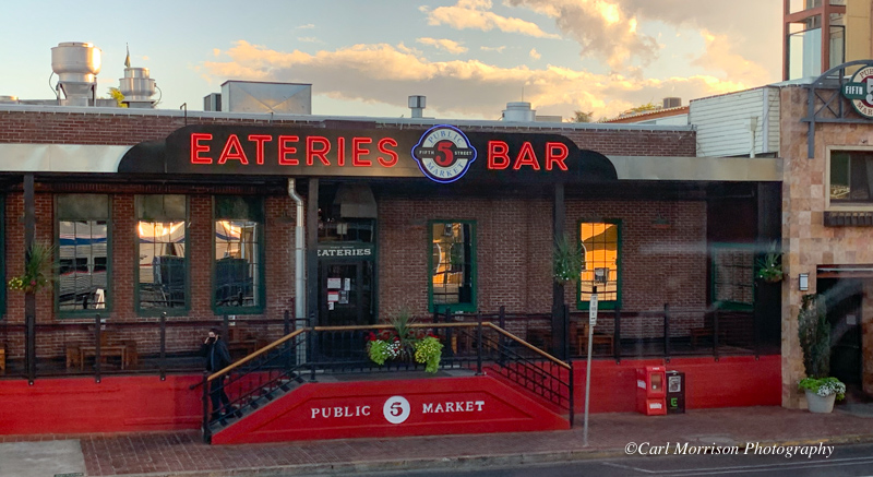
Some interesting businesses along the tracks and cross streets south of the station.
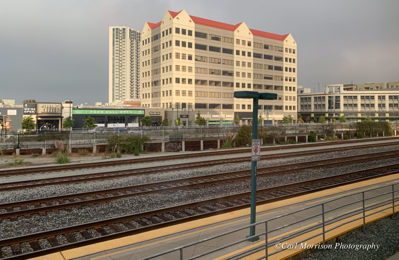
Emeryville, California, from the station.
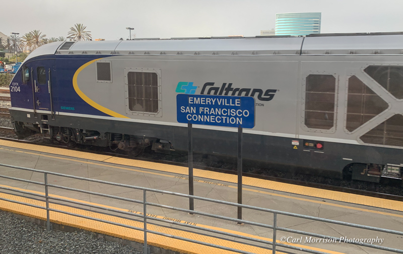
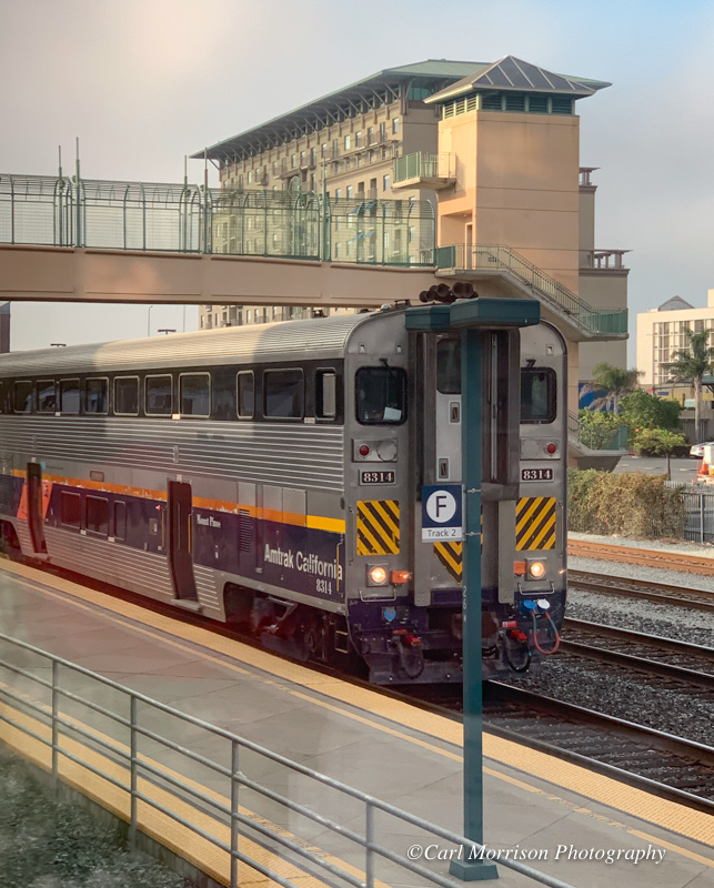
With many travelers leaving or changing trains in Emeryville, good signage helps them locate the correct track.
Don and I were left standing by the door of our sleeper car that never opened for us to board in past years.
Click Here for California Rail Routes.
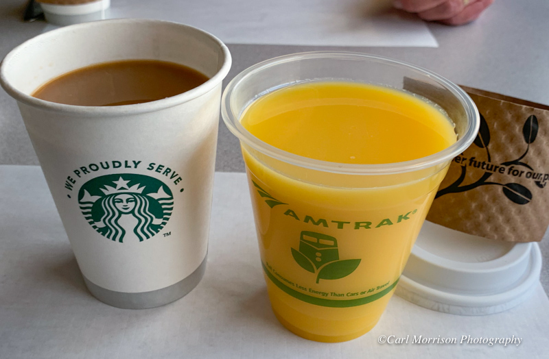
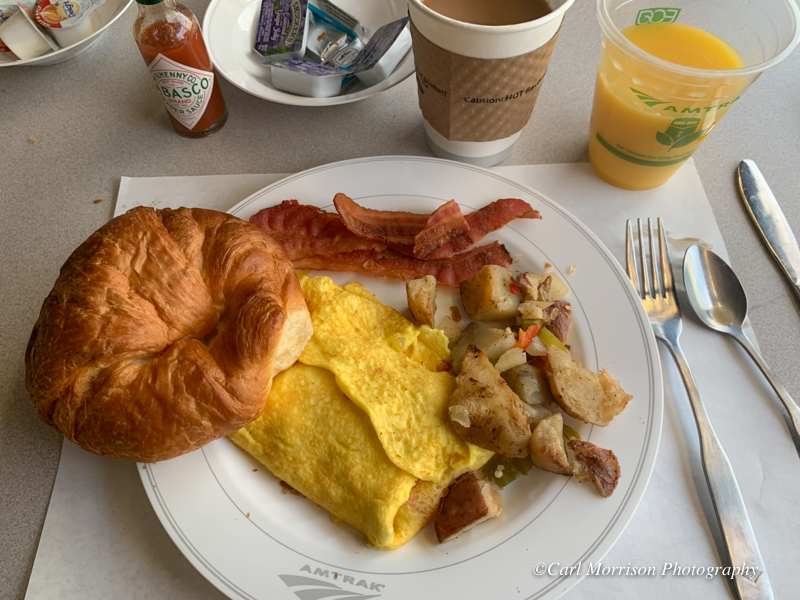
Between Emeryville and Oakland we had breakfast to start the last day of our trip.
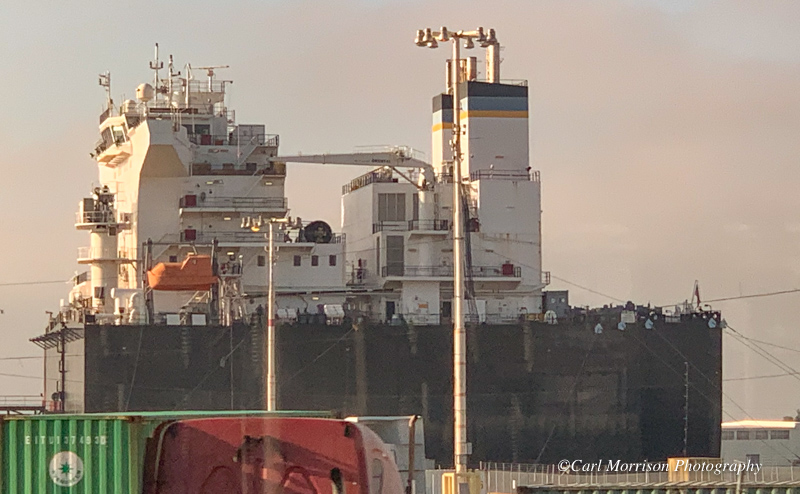
The tracks run close to the Oakland Inner Harbor off the San Francisco Bay where you might catch glimpses of ocean-going ships.
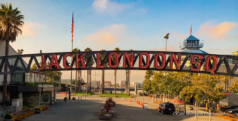
At Jack London Square, our train is street-running - slow with lots of horns for the many short blocks and grade crossings.
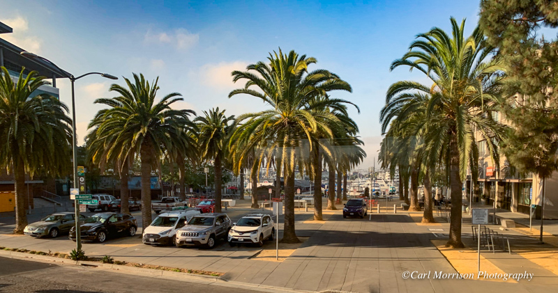
Other cross streets show the closeness of the water and recreational boats.
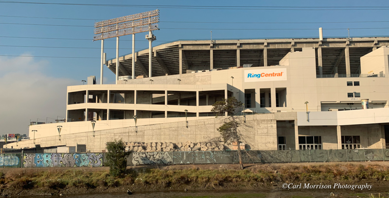
Oakland Athletics Coliseum
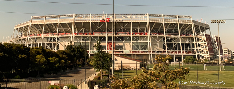
49er's Levi Stadium 40 minutes south of Oakland Coliseum
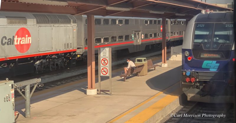
San Jose station another 60 minutes later.
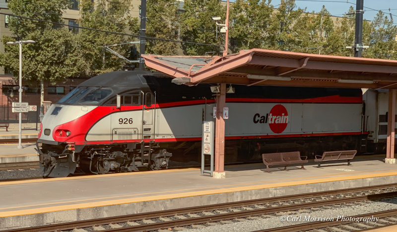
CalTrain commuter
System Map: https://www.caltrain.com/stations/systemmap.html
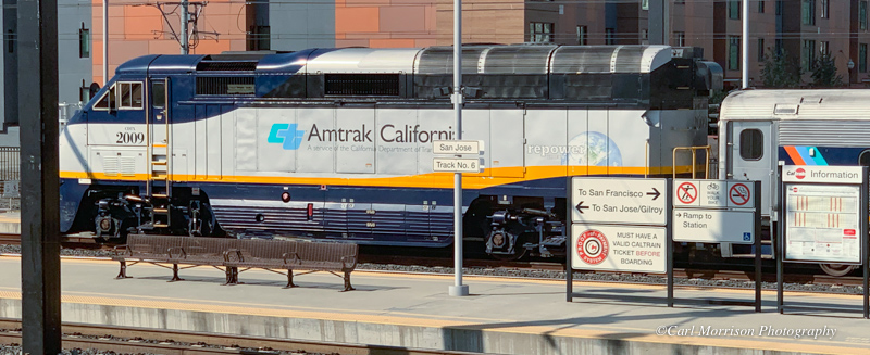
Amtrak California
Auburn Sacramento Emeryville (San Francisco) Oakland San Jose
3 hours 15 minutes Multiple Departures Daily
The best way to get around Northern California. Whether traveling
around Northern California for business or pleasure, skip the traffic
and parking hassles and take the train. The Capitol Corridor provides
convenient, frequent and affordable service between the Sacramento
region and the Bay Area, with multi-ride tickets available. You can
also take the easy Thruway bus connections to San Francisco at
Emeryville.
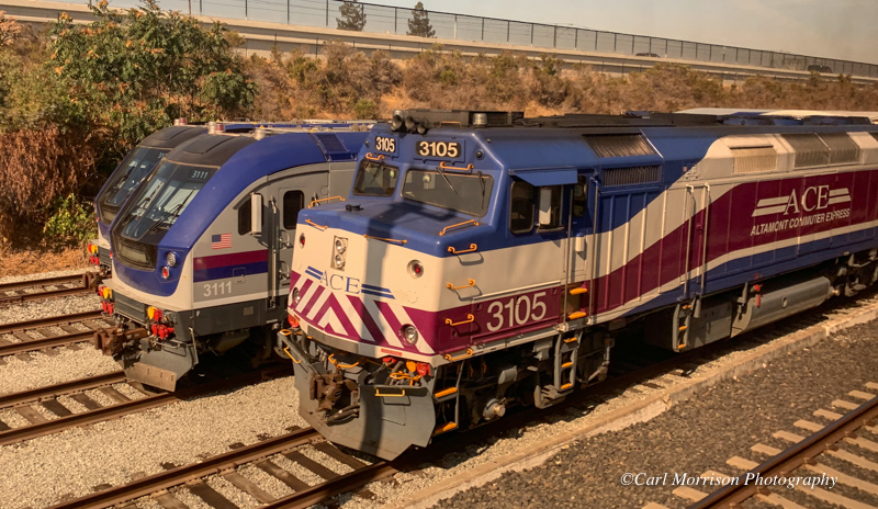
ACE commuter with old and new locomotives
The Altamont Corridor
Express (ACEŽ) is a commuter rail service in California, connecting
Stockton and San Jose. The ACE service is named for the Altamont Pass,
through which it runs. The 86-mile (138 km) route includes ten stops,
with travel time about 2 hours and 12 minutes end-to-end.
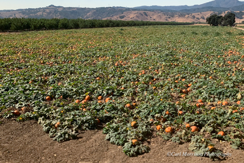
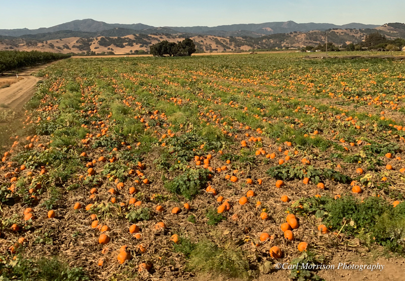
Pumpkins at Morgan Hill, California
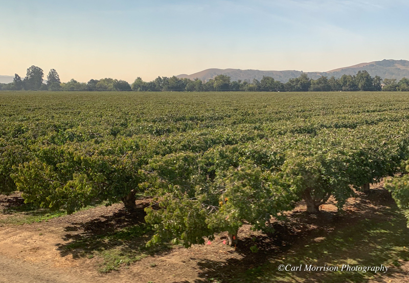
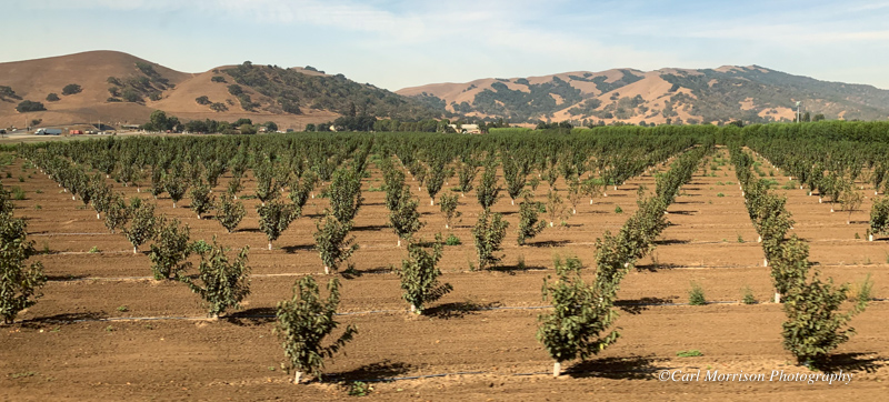
Gilroy, California
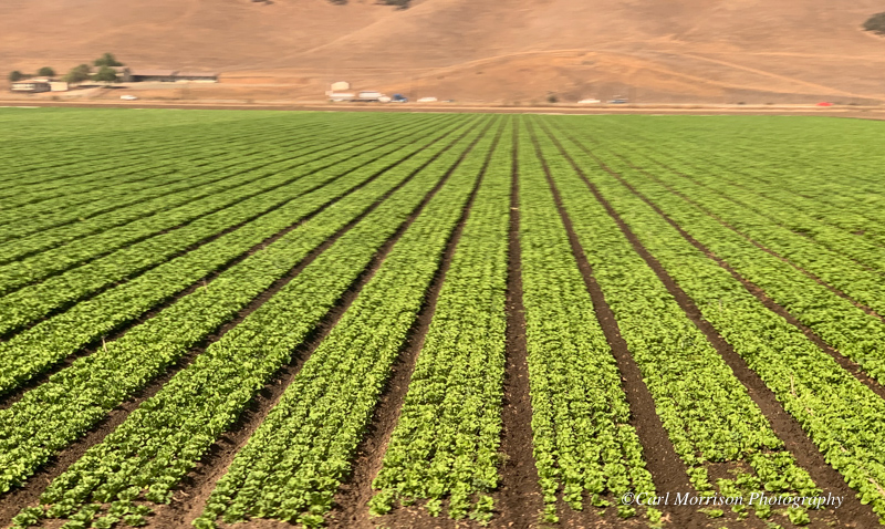
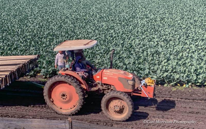
Gilroy in the middle of America's Salad Bowl
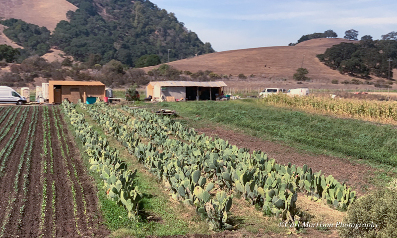
Diversified truck farmer
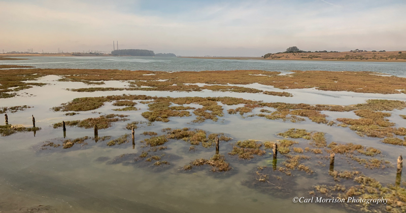
Elkhorn Slough, Moss Landing, California
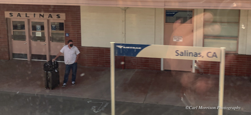
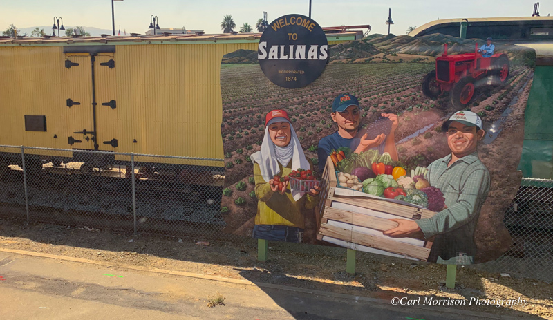
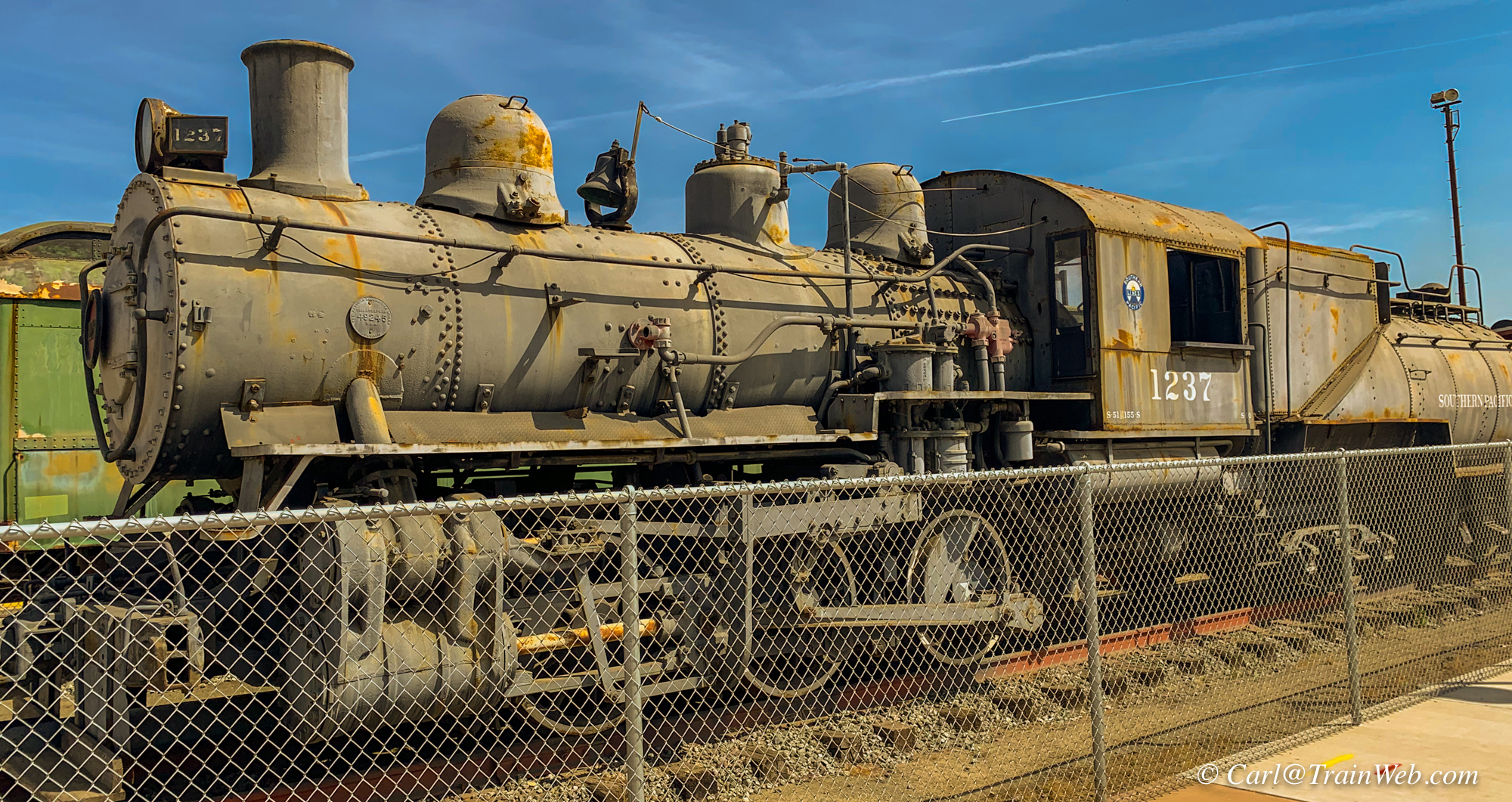
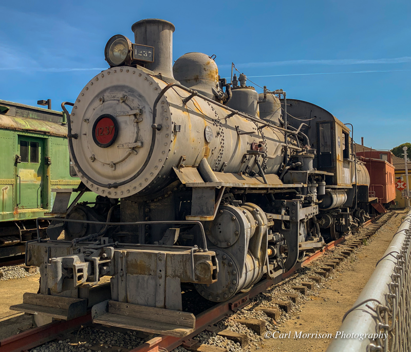
"Rust in Peace" - Southern Pacific 1237 locomotive at Salinas
Southern Pacific 1237 is an S-10 class 0-6-0 steam locomotive
built by Baldwin Locomotive Works.[1] The locomotive was put in service
August 31, 1918, and retired August 19, 1956, it was donated to the
City of Salinas, California by the Southern Pacific Railroad, in the
summer of 1957.[2] 1237 is an oil fired yard switcher.
Source: https://en.wikipedia.org/wiki/Southern_Pacific_1237
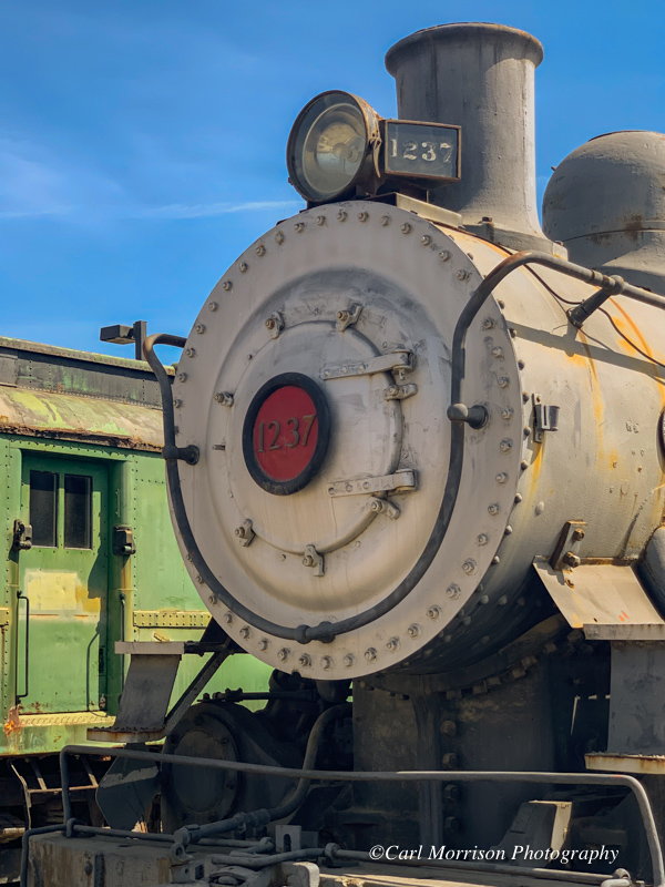
With my long arms, I can raise my iPhone camera above the protective fencing.
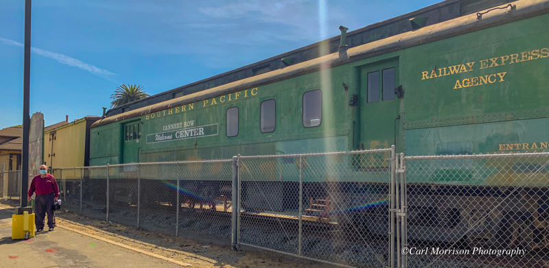
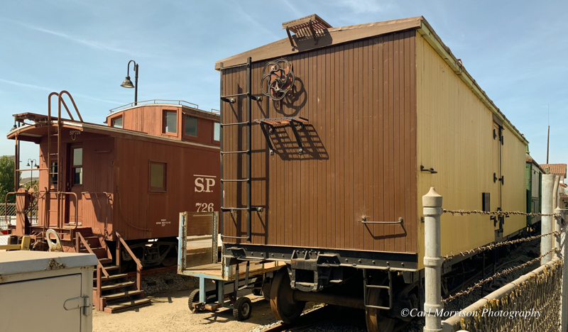
Southern Pacific Railway Express Agency car with Don. Right, wooden refrigerator car and caboose.
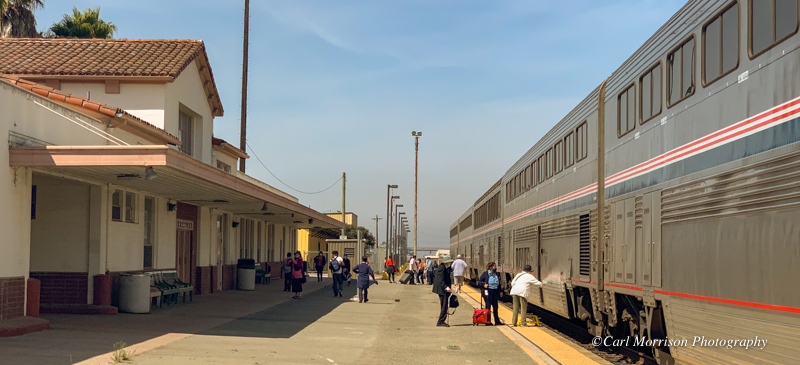
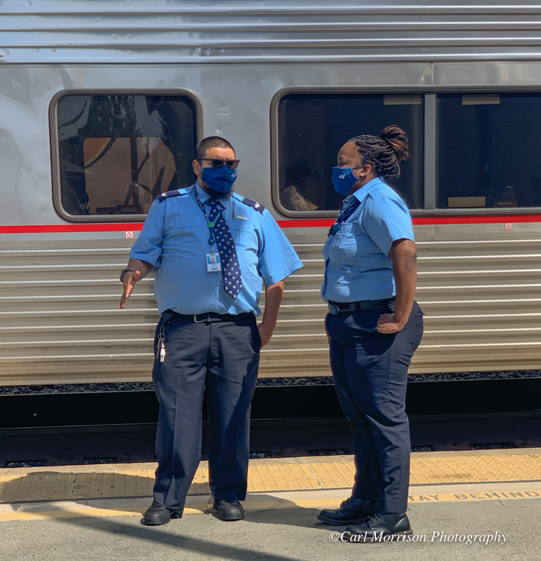
Coast Starlight at Salinas. Right, our sleeping car attendant on left, second sleeper attendant on right.
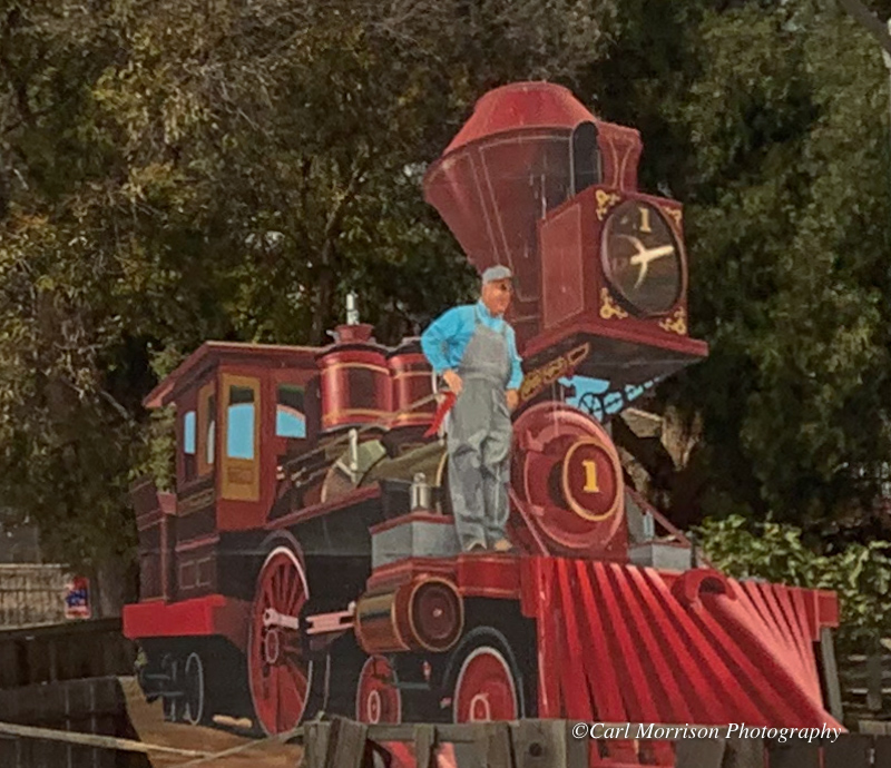
Vintage steam locomotive graphic viewable from Hwy. 101. Similar art at John Steinbeck's museum in town.

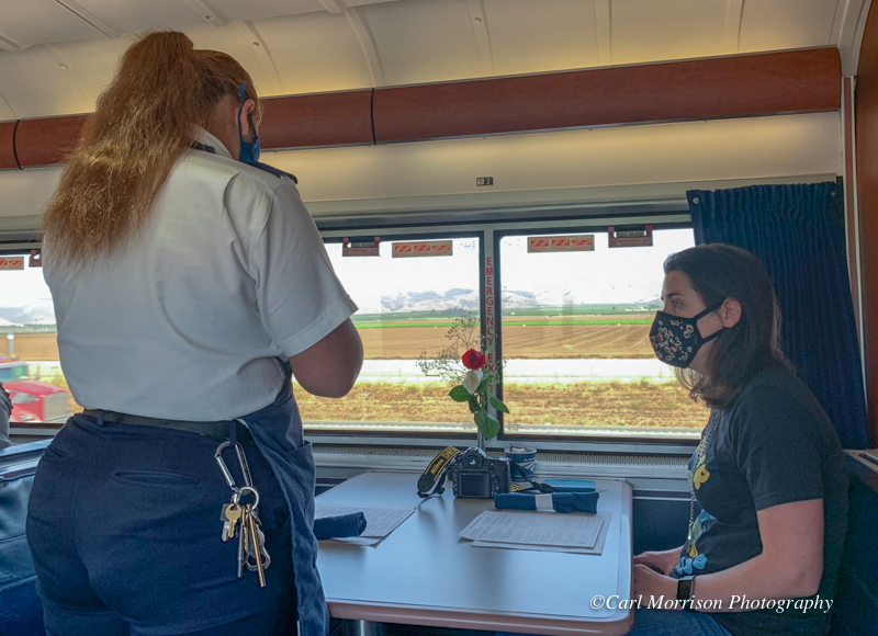
12:30, time for another meal in the diner. They are currently
only serving sleeping car passengers to keep the proper social
distancing. No community seating of 4 per table as in the past.
Right above, I asked the seated lady across the aisle if she were a travel writer
because she had all the tools. She said, "I wish...I'm just
recording my life's story."
I guess that is what I am doing with my reports on TrainWeb.com and TeslaTouring.com.
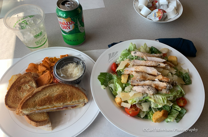
Both of our lunches, above left.
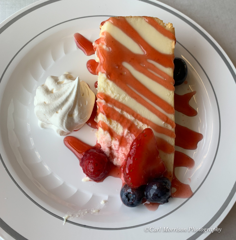
Cheese cake was one desert item, or carrot cake. (Menu above).
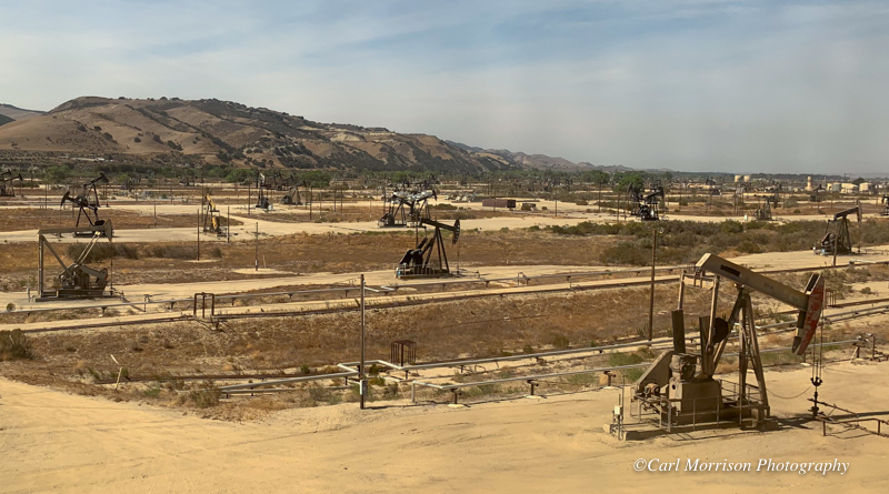
I am always amazed at how thickly spaced the oil wells are south of San Ardo.
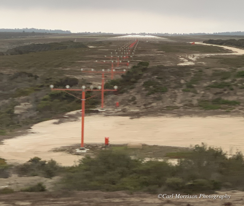
From the Coast Starlight, you
can see right down the Vandenberg Space Force Base (VBG) runway
originally built for space shuttle returns. This base also
contains Space X.
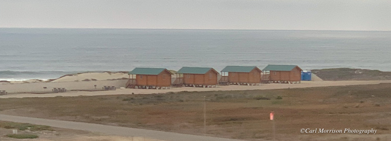
I noticed some new structures on the Vandenberg beach.
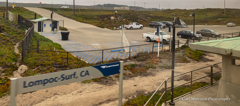
On the land side of the tracks is the Lompoc-Surf, CA Amtrak Station. This is the closest station for Lompoc travelers.

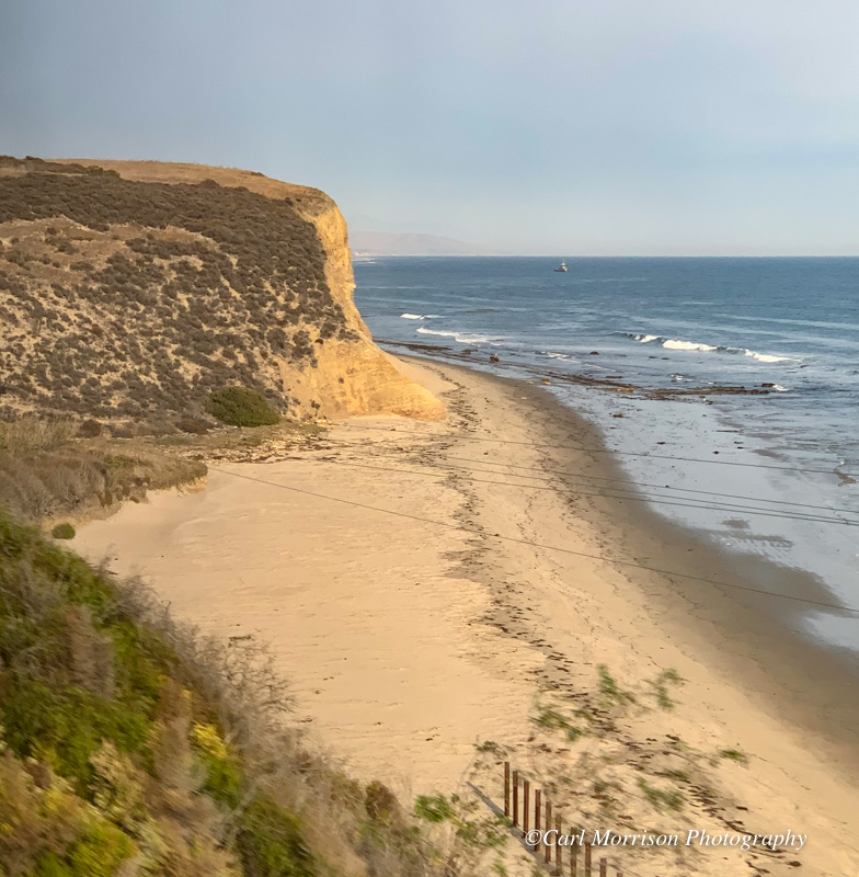
Trestle along Hollister Ranch Road before 101 joins the RR along the
coast. Right, Part of "The longest ocean-view train ride in
America." at Canada De Las Panochas on the Santa Barbara Channel.
Click Here for Hollister Ranch Beaches access information.
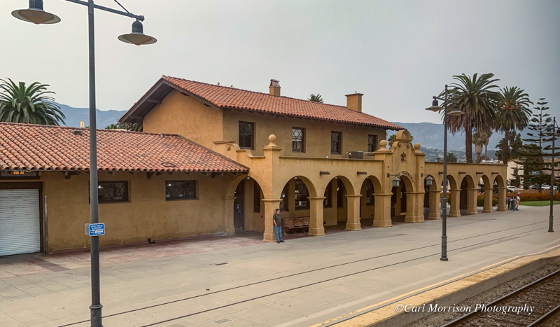
Santa Barbara Amtrak Station.
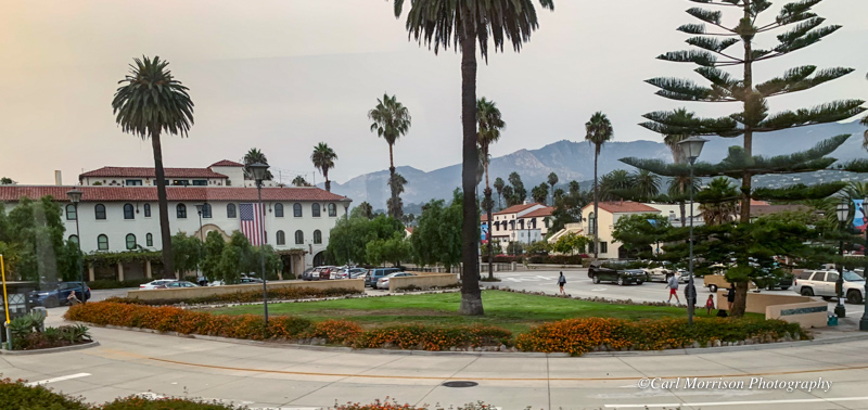
Area east of Santa Barbara Station
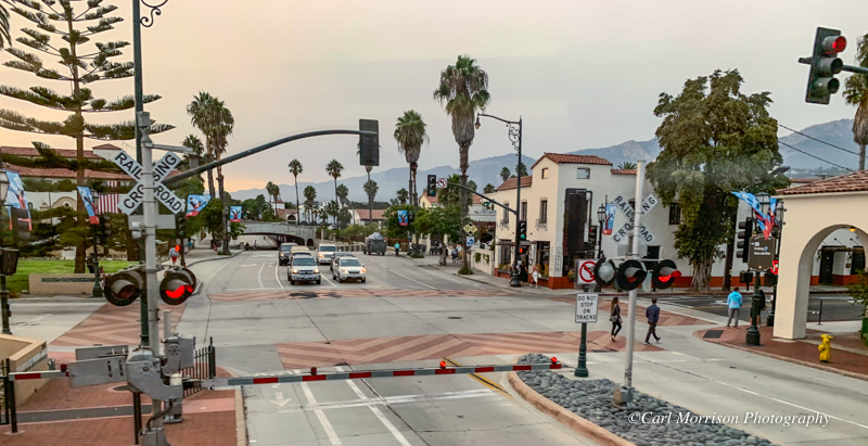
State Street leading north, under Hwy. 101, into downtown Santa Barbara. 61 degrees at 6:53 pm.

We arrived in Los Angeles on time and got a lift in a Red Cap cart to
the Metropolitan Lounge. We learned there that our Surfliner
south to Fullerton had been canceled because of eroding track base in
San Clemente by high surf. However, we would have a bus take us
to Fullerton and other passengers to other Amtrak stops to the eventual
destination of San Diego. We would be the first ones off since
Fullerton is just 1/2 hr. south of LA.
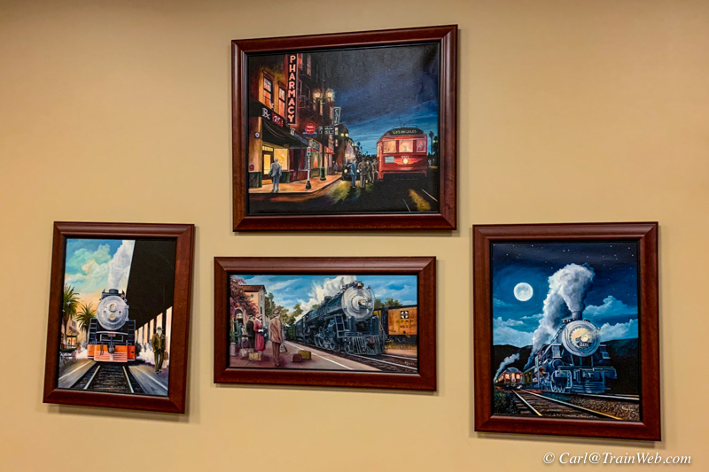
I was glad to see Eric Smith's RR art still adorning the lounge's walls.
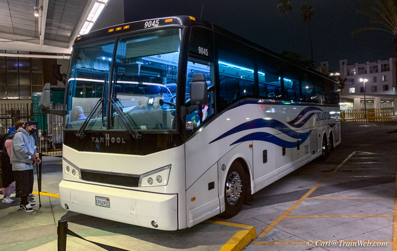
Our final transportation to Fullerton was a private bus - an excellent ride.
[ Top of this Report | Other Train Reports by Carl Morrison | TrainWeb.com | Comments welcomed: Carl@TrainWeb.com ]


 I
I







 .
.


 .
.


