


 Below is a list of photos at mileposts along the B&O (now CSX) Metropolitan Branch (Met)
in Maryland. The main purpose of this list is to illustrate terrain changes as
the line heads northwest from Washington, DC. Many of these photos do not appear
in the Met tour because they show
nothing of particular historical note.
Below is a list of photos at mileposts along the B&O (now CSX) Metropolitan Branch (Met)
in Maryland. The main purpose of this list is to illustrate terrain changes as
the line heads northwest from Washington, DC. Many of these photos do not appear
in the Met tour because they show
nothing of particular historical note.
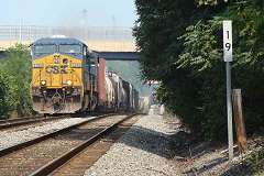
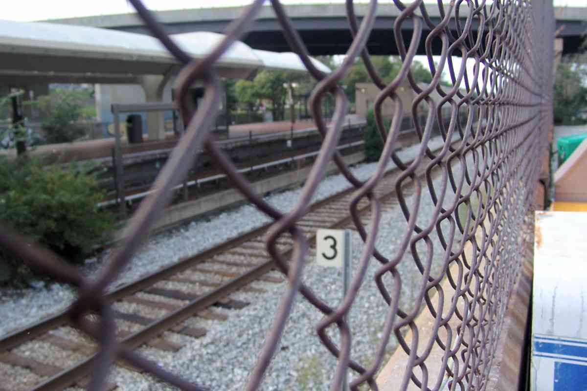
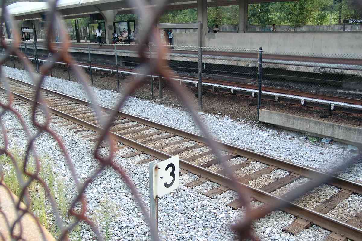
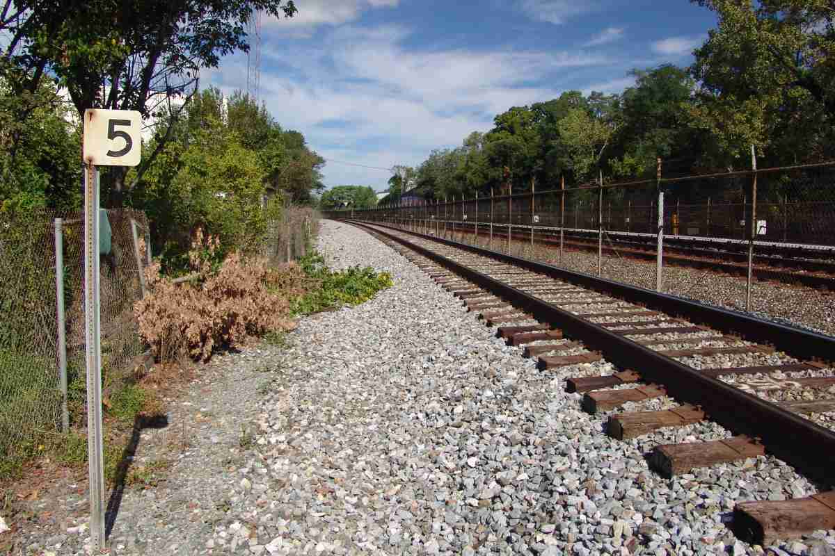
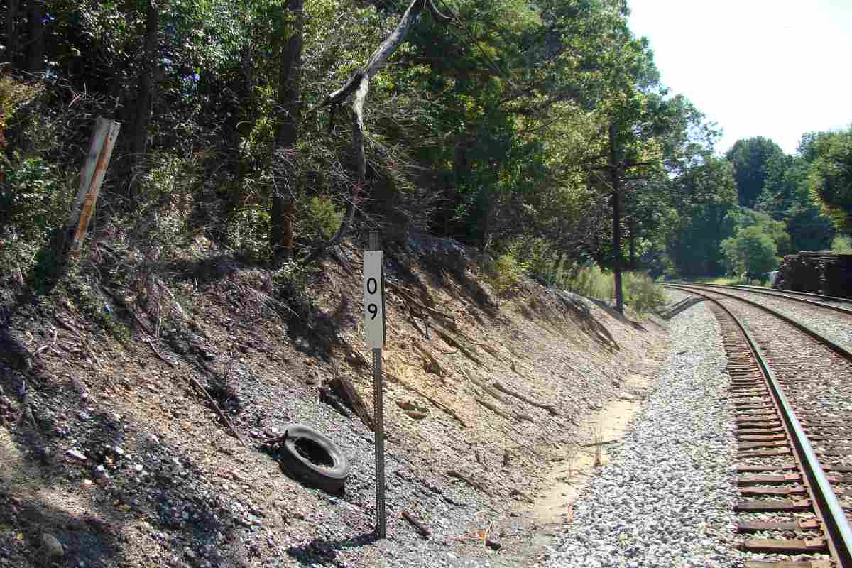
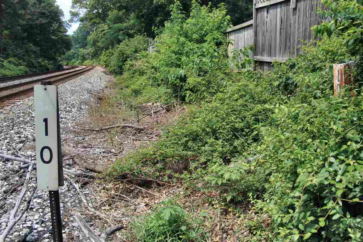
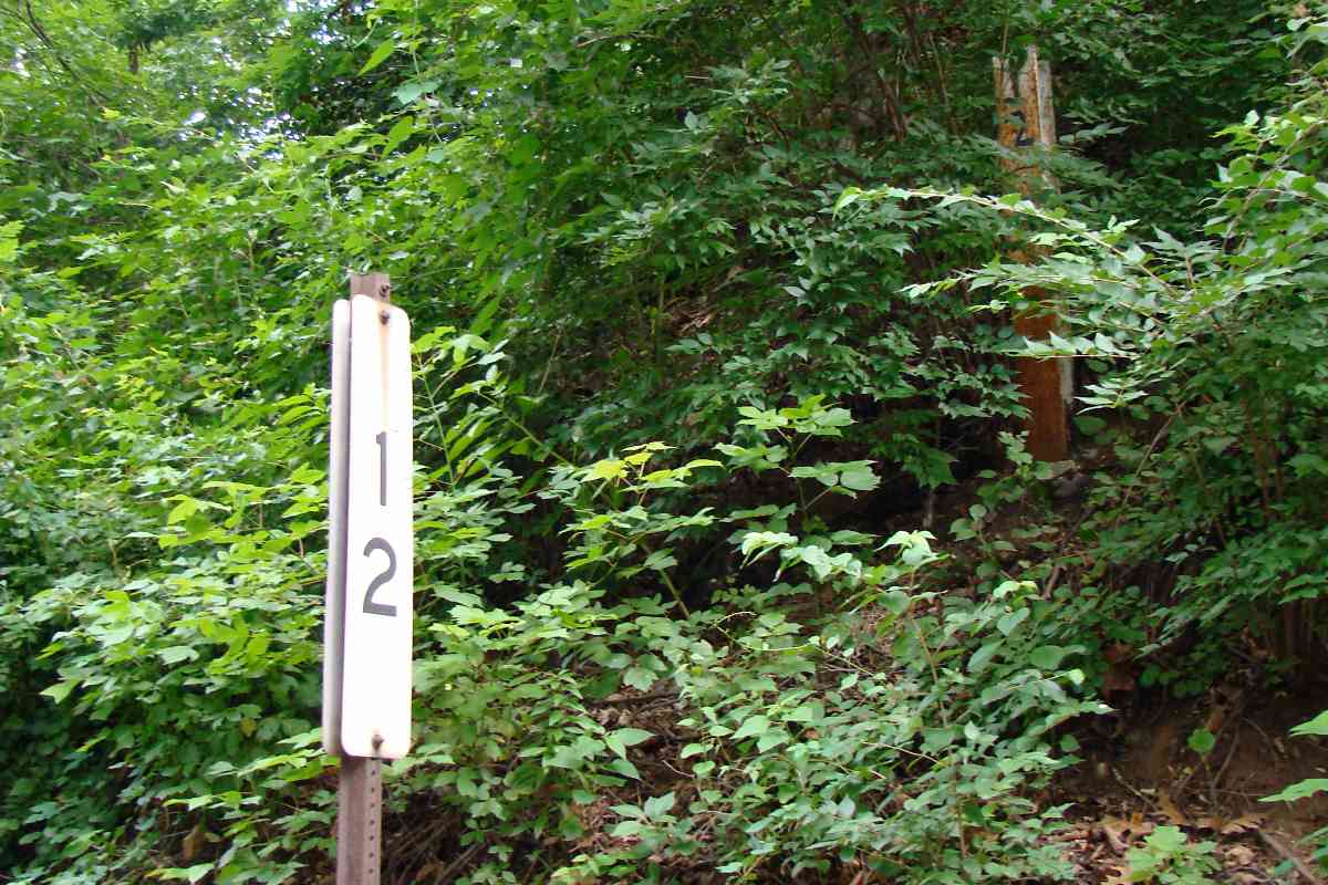
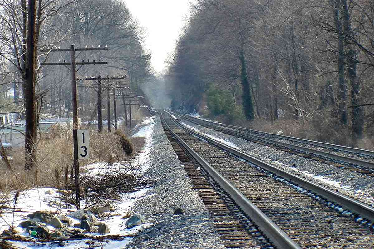
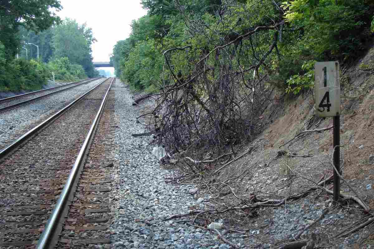
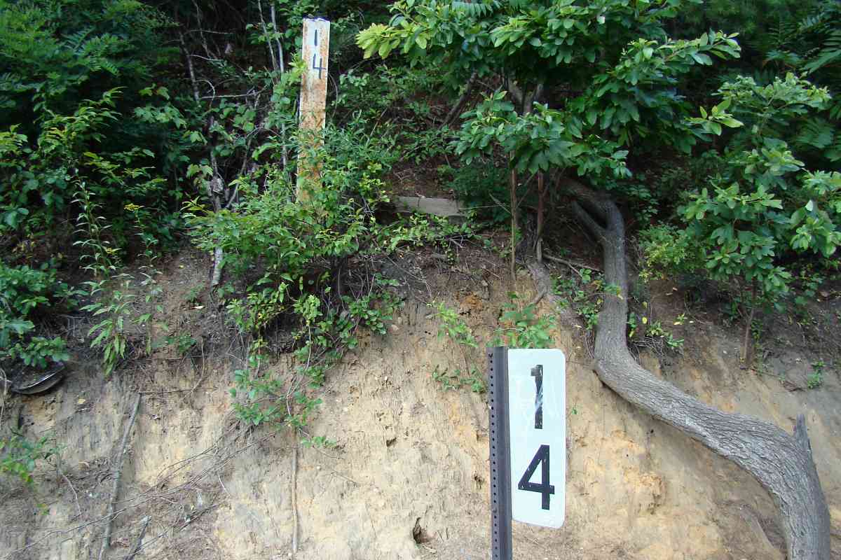
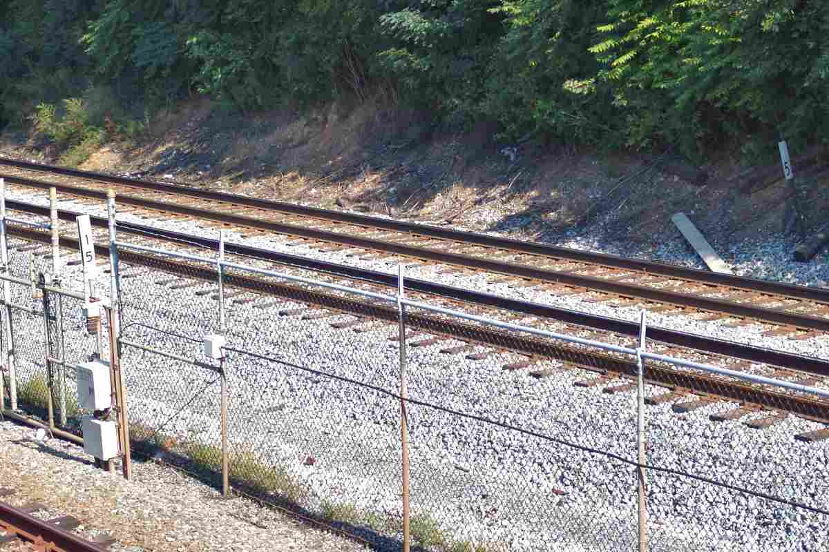
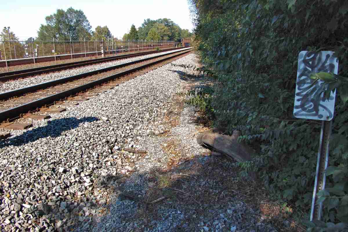
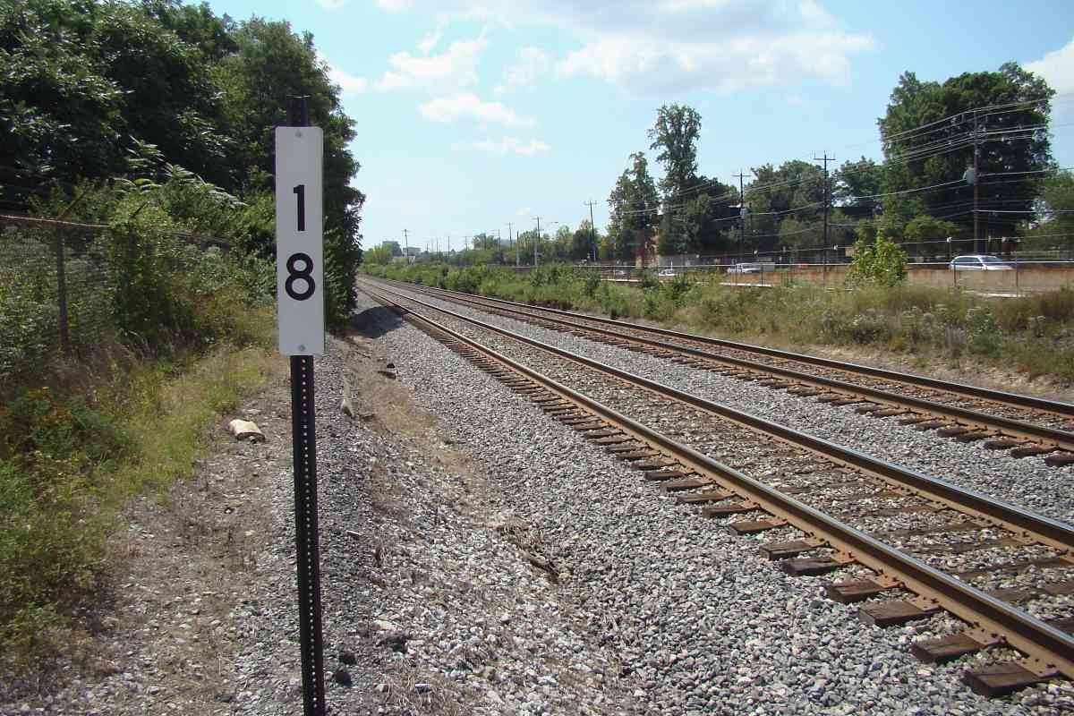
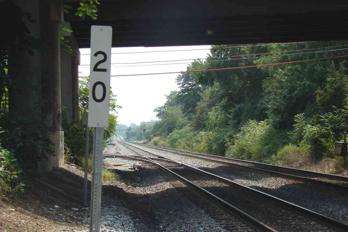
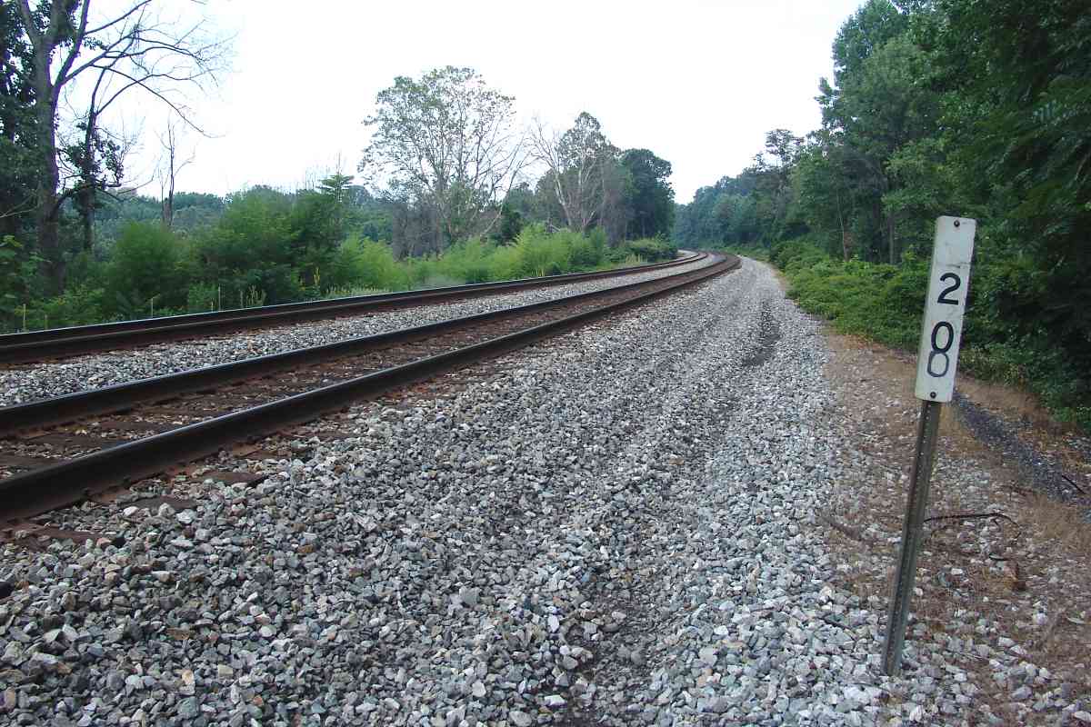
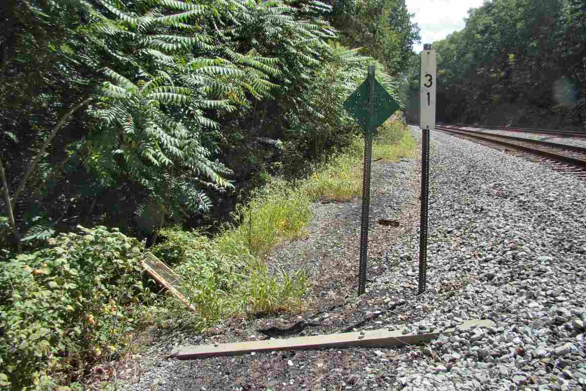
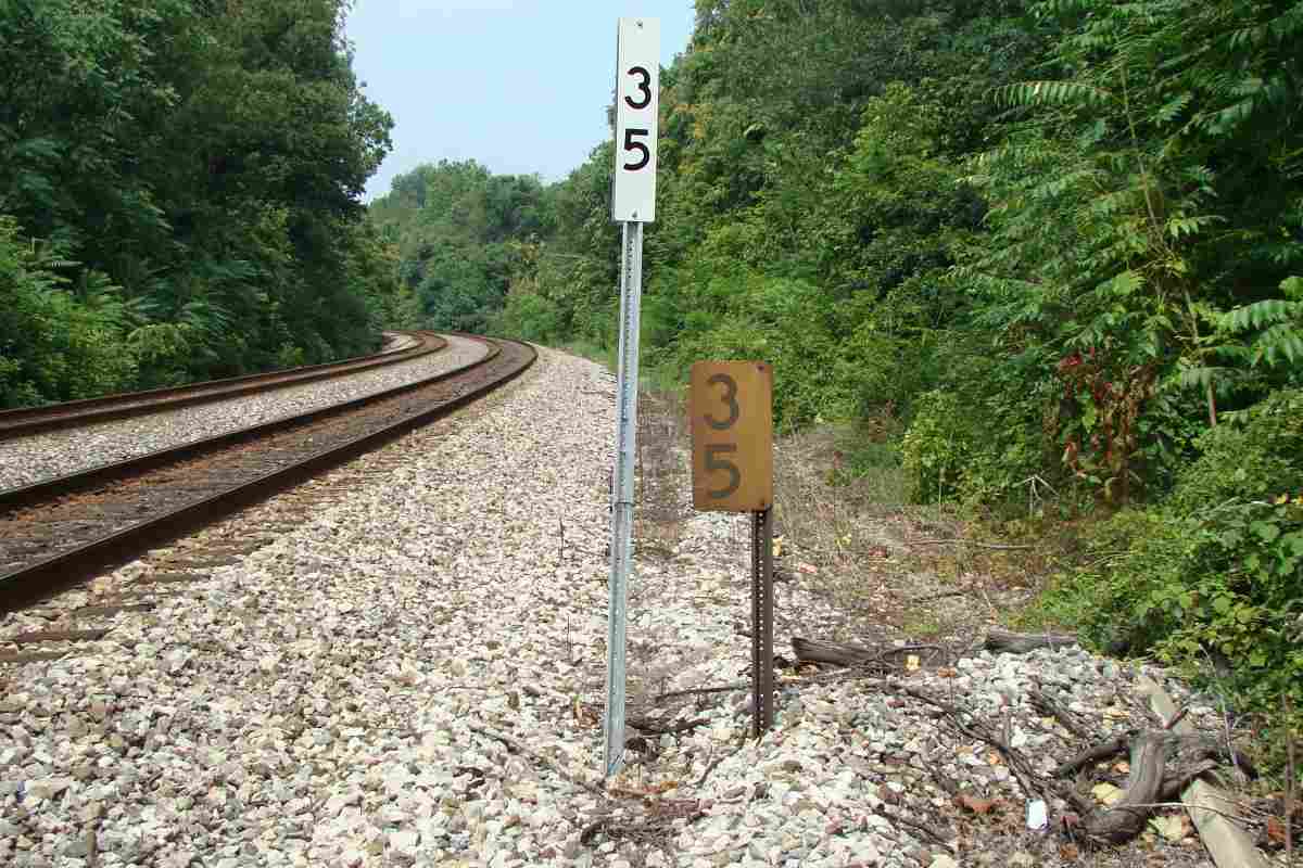
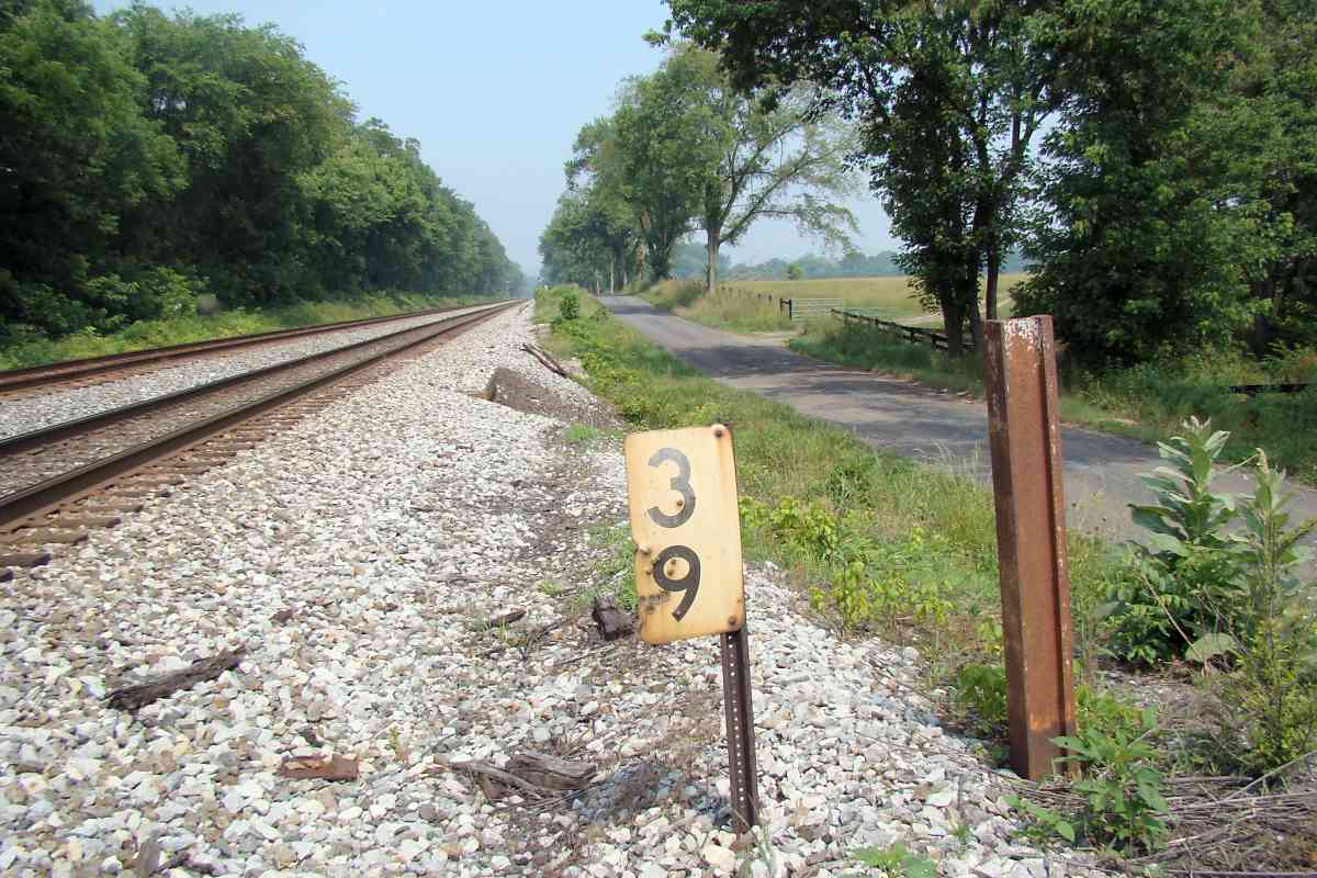
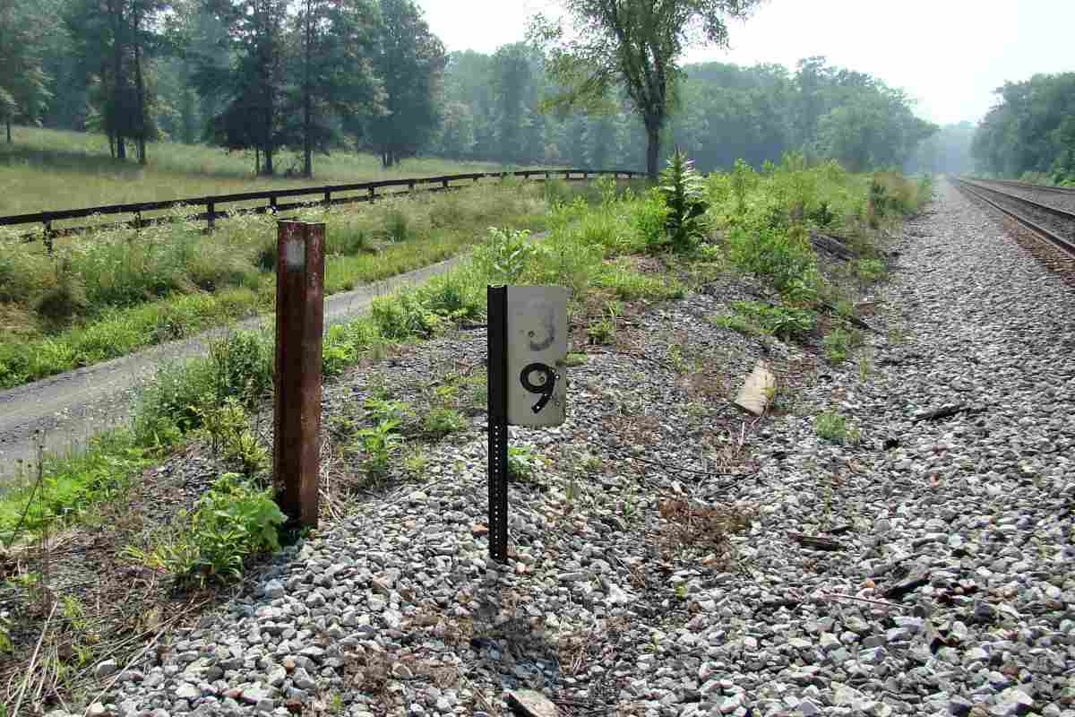
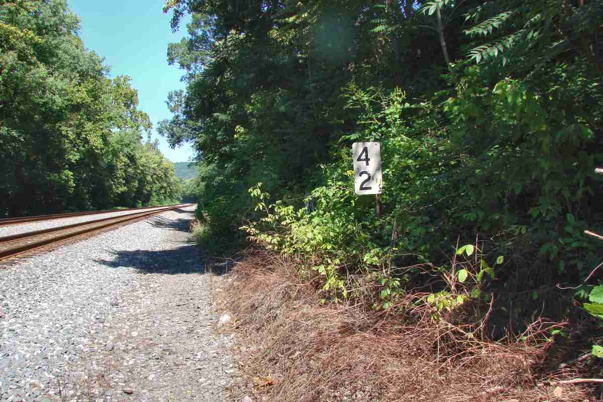
The photo links are named by approximate compass direction of their view. Unless otherwise noted, the trackside mile marker sign or post can be seen within the photo. The signs come in various shapes and sizes, but are typically black digits on a white reflective background, as in the picture at left. The RM column indicates a location with an old-style "rail milepost", believed to date to around 1910.
Over time I hope to fill data missing from the table. Any comments? EMail me.
| MILE | PHOTO(S) | RM? | ADC MAP | COMMENTS |
|---|---|---|---|---|
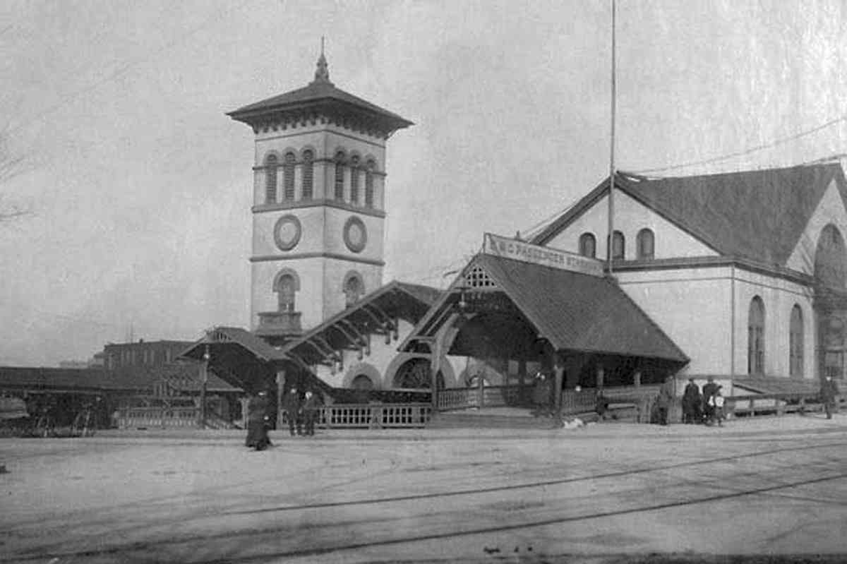
| 0 | east | n | DC Dwn 8 C 1 | mile 0 (unmarked) was the B&O Station at NJ Ave. and C Street |
| 1 | north, west | n | DC 10 E 12 | mp 1 should be in the vicinity of Florida Ave., but is not extant |
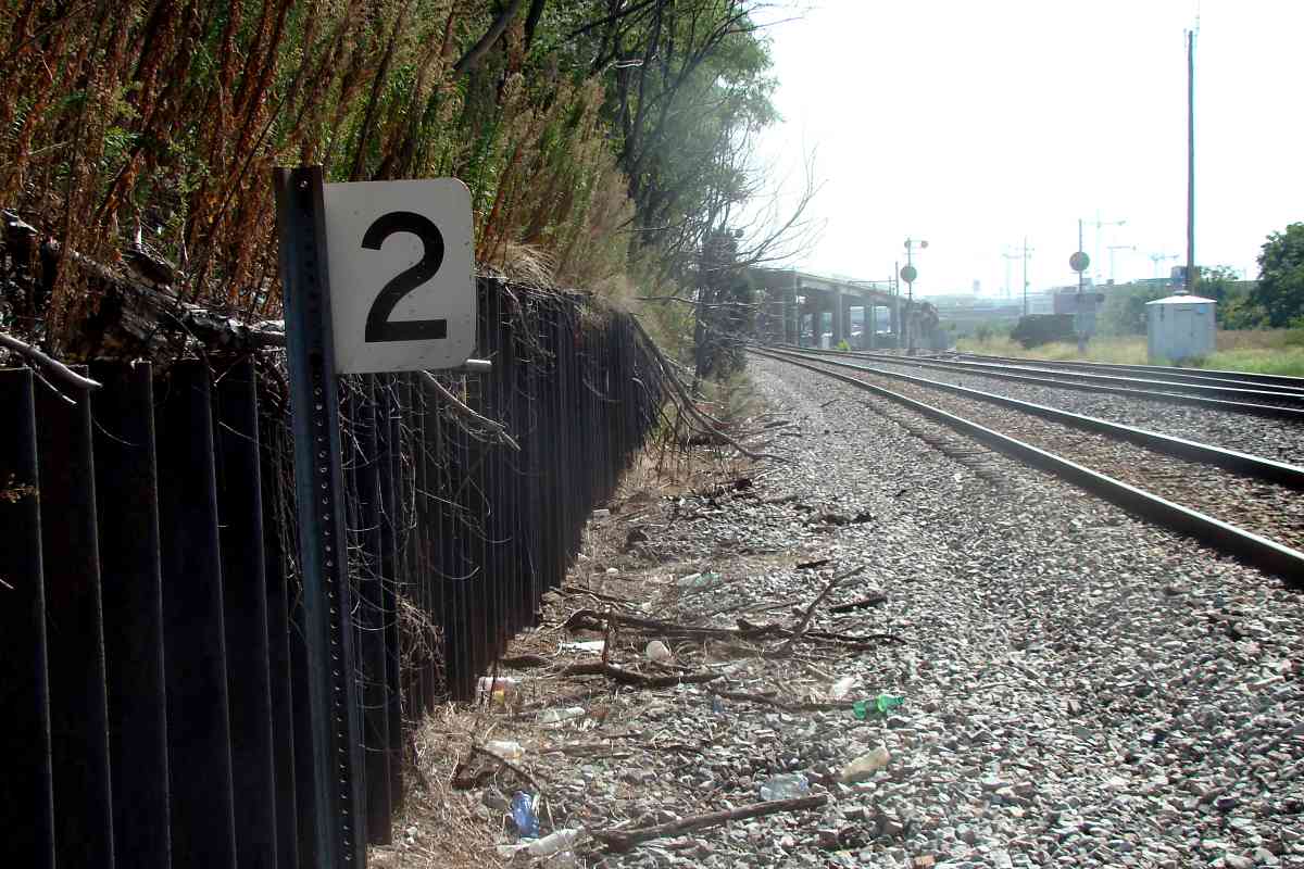
| 2 | north, south | n? | DC 10 F 10 | first extant Met mp; QN tower had been near |
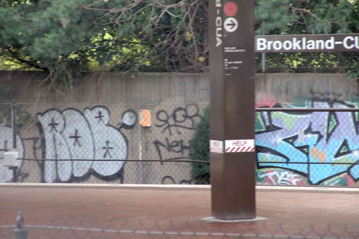
| 3 | north, west, west | n | DC 10 F 8 | Brookland-CUA Metro station |
| 4 | north | Y | DC 10 E 5 | modern mp 4 signs are absent |
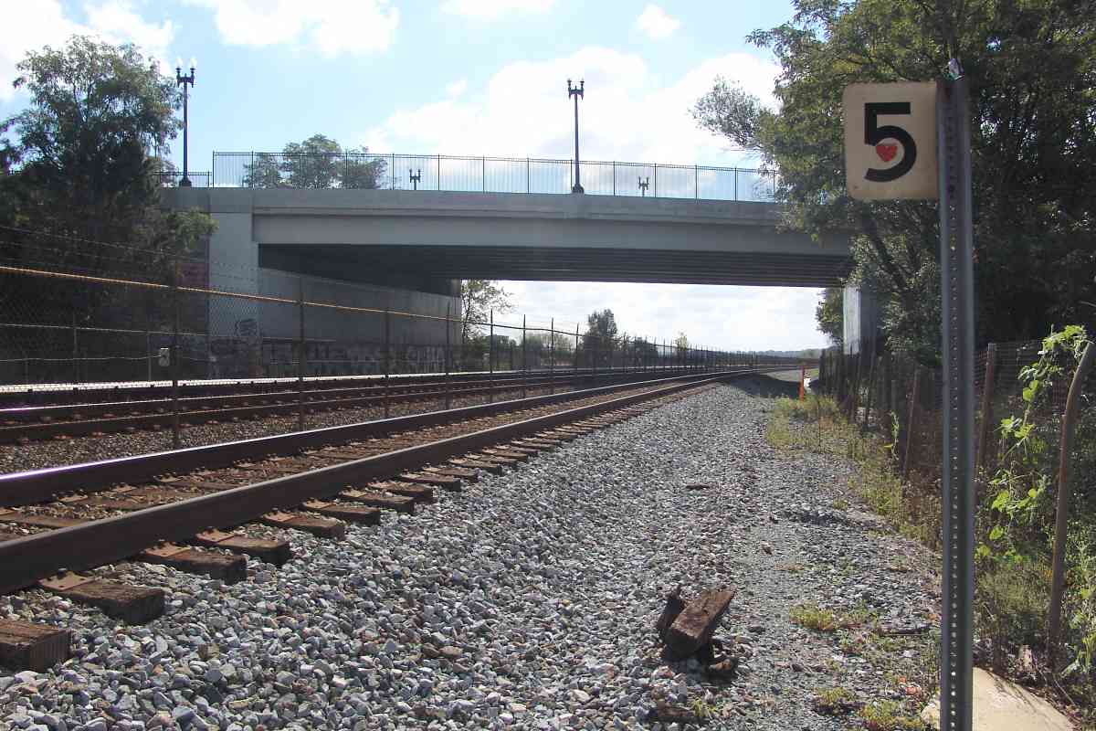
| 5 | north, south | n | DC 10 D 3 | New Hampshire Avenue |
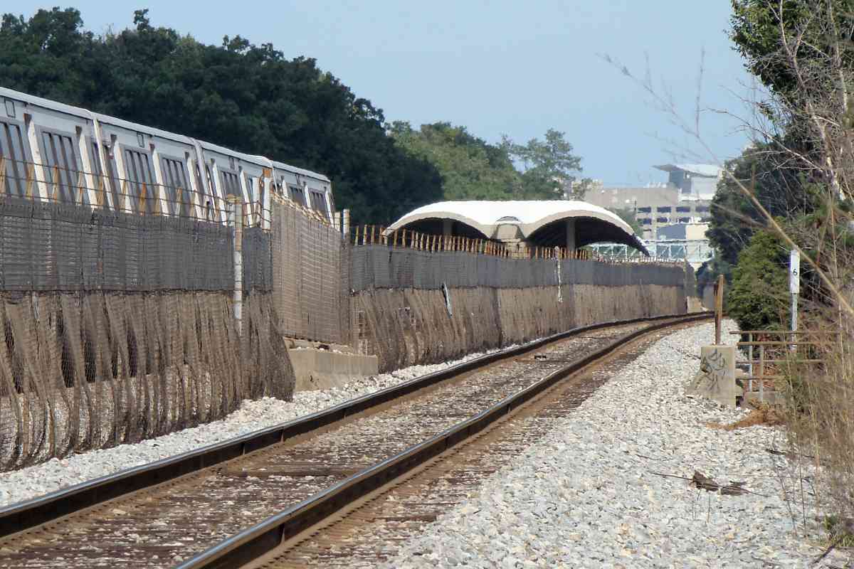
| 6 | north | n | DC 10 C 1 | Aspen Street, Takoma Park Metro Station |
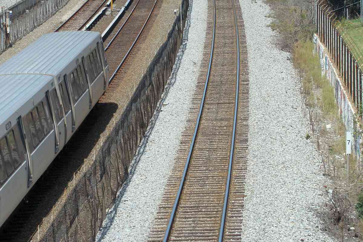
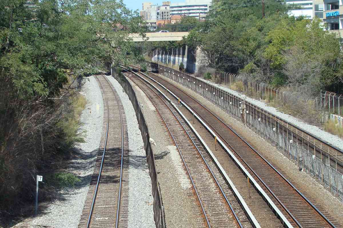
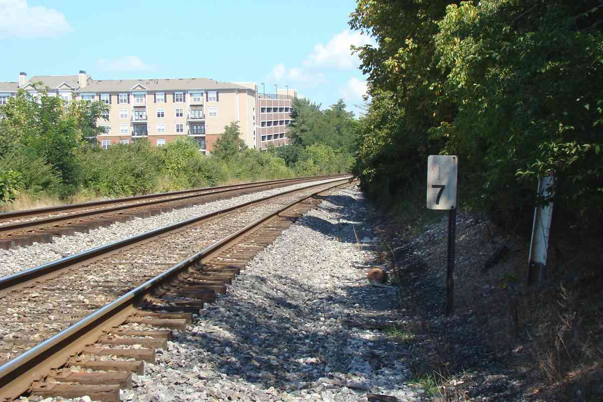
| 7 | north, north | n | Mo 37 B 11 | Metro Red Line, Silver Spring in distance |
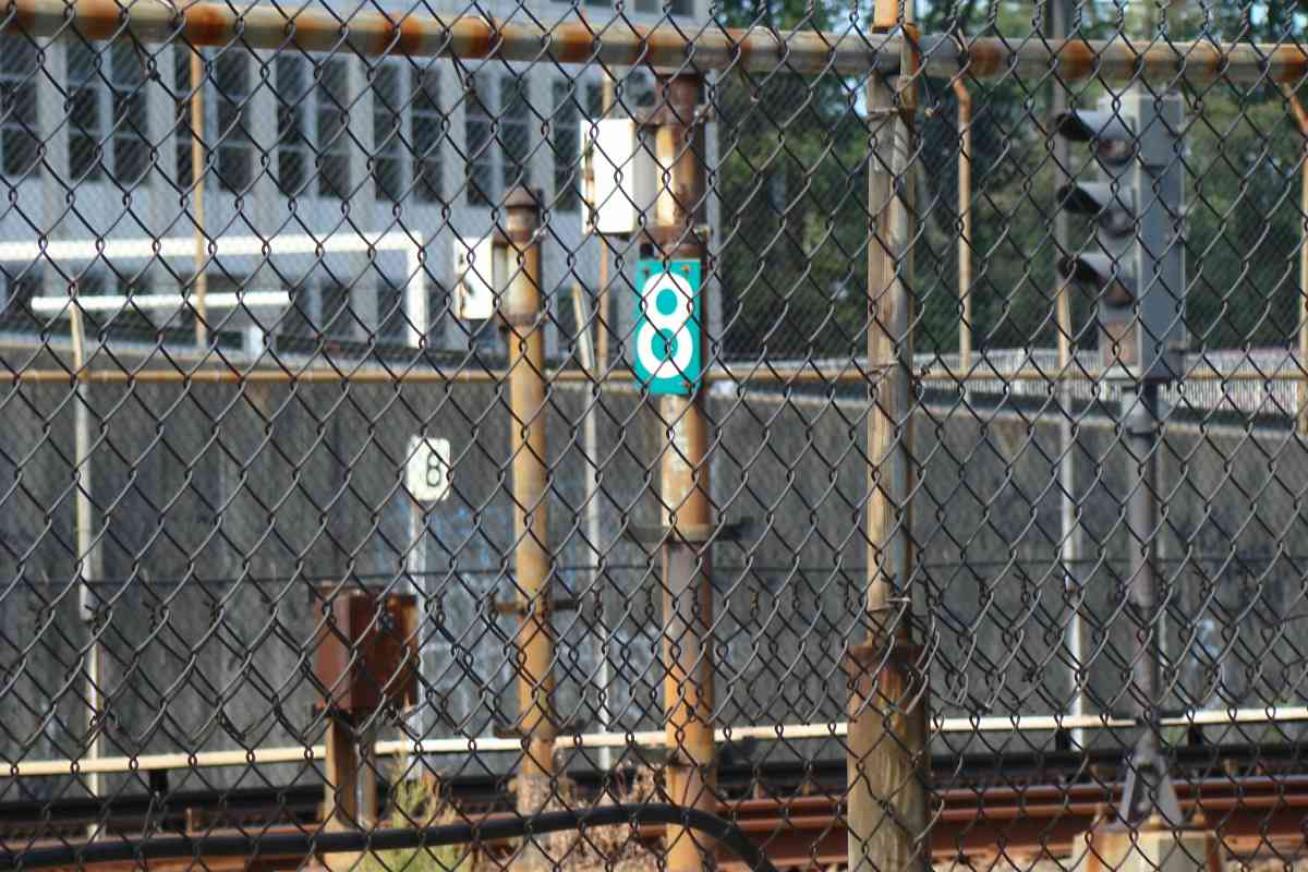
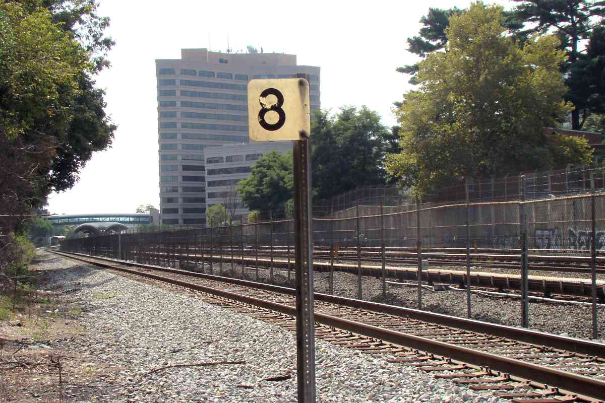
| 8 | west, south | n | Mo 36 K 9 | green 8 is Metro's marker |
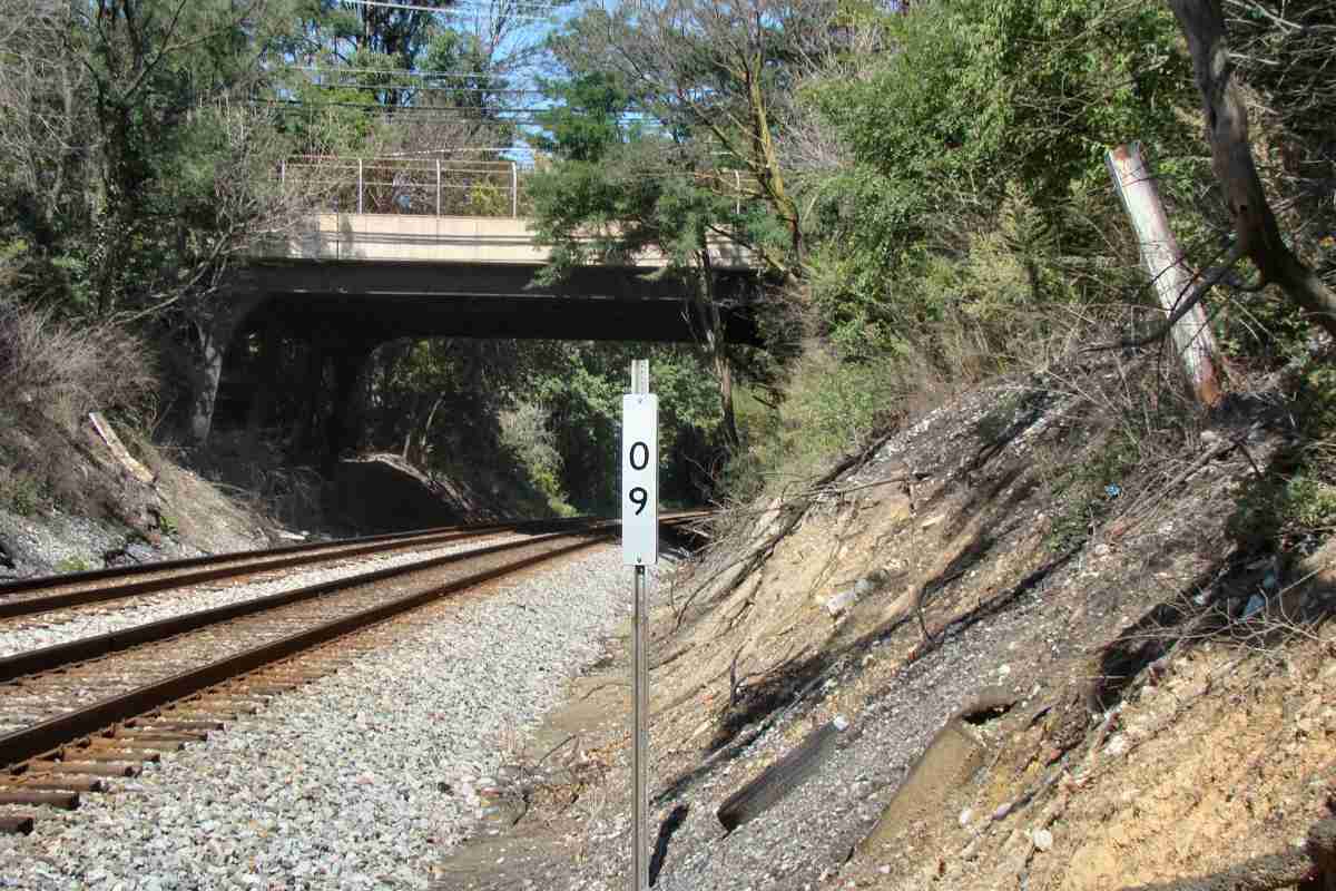
| 9 | north, south | Y | Mo 36 H 8 | upside down 60 |
| 10 | north | Y | Mo 36 F 5 | the old style "mile marker on a rail" likely dates to around 1910 |
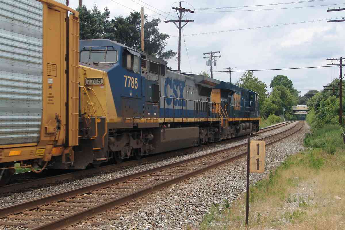
| 11 | west | n | Mo 36 D 4 | at Kensington; CSX 5458 and CSX 7785; sign no longer extant |
| 12 | north | Y | Mo 36 B 3 | |
| 13 | west, east (ICI) | Y | Mo 35 K 1 | faded |
| 14 | west, east | Y | Mo 29 H 12 | |
| 15 | north, east | n? | Mo 29 F 9 | uprooted concrete post |
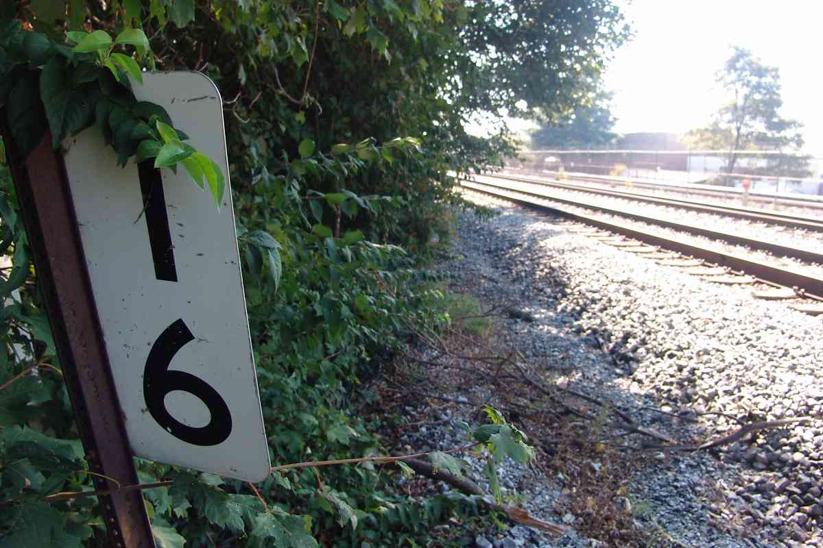
| 16 | west, south | Y | Mo 29 D 8 | near First Street |
| 17 | north | Y | Mo 29 C 6 | |
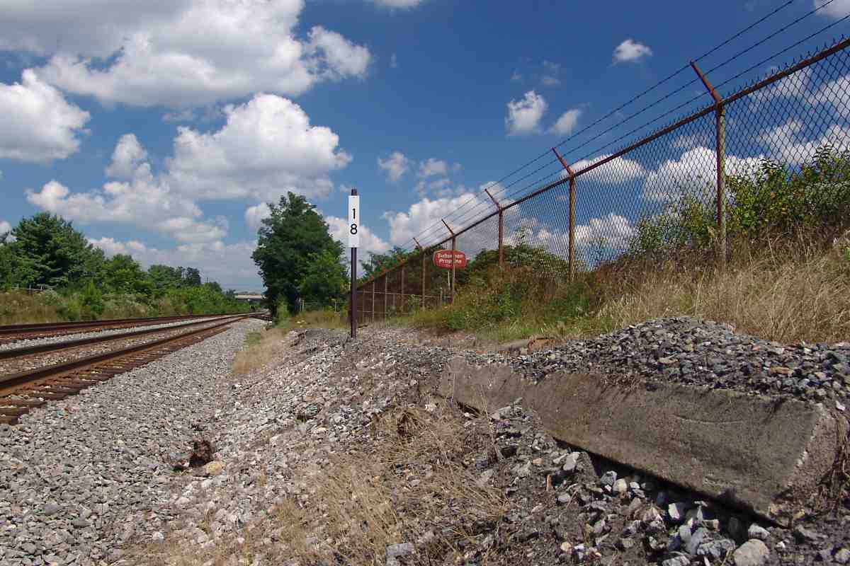
| 18 | north, south | n | Mo 29 B 3 | uprooted concrete post; near Surbuban Propane siding |
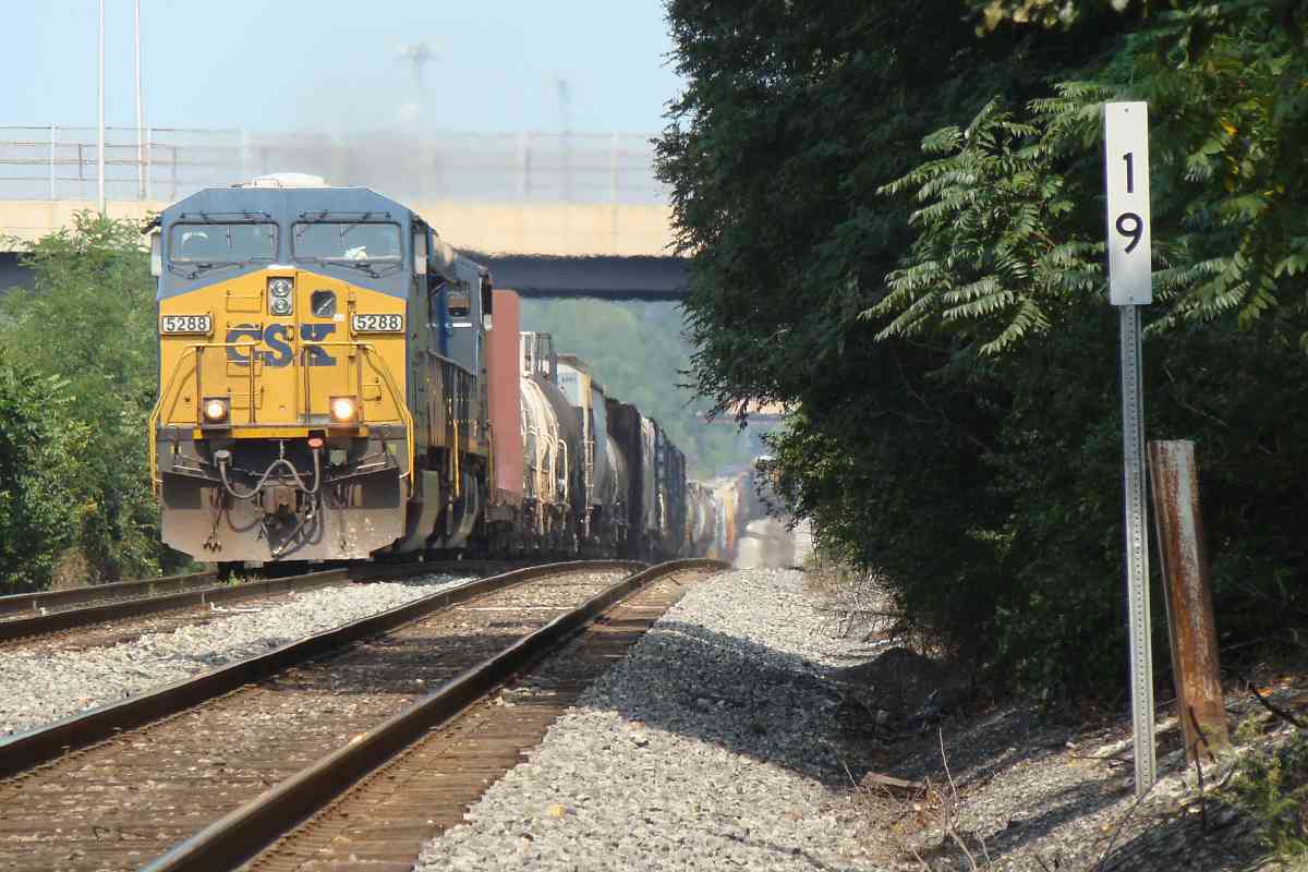
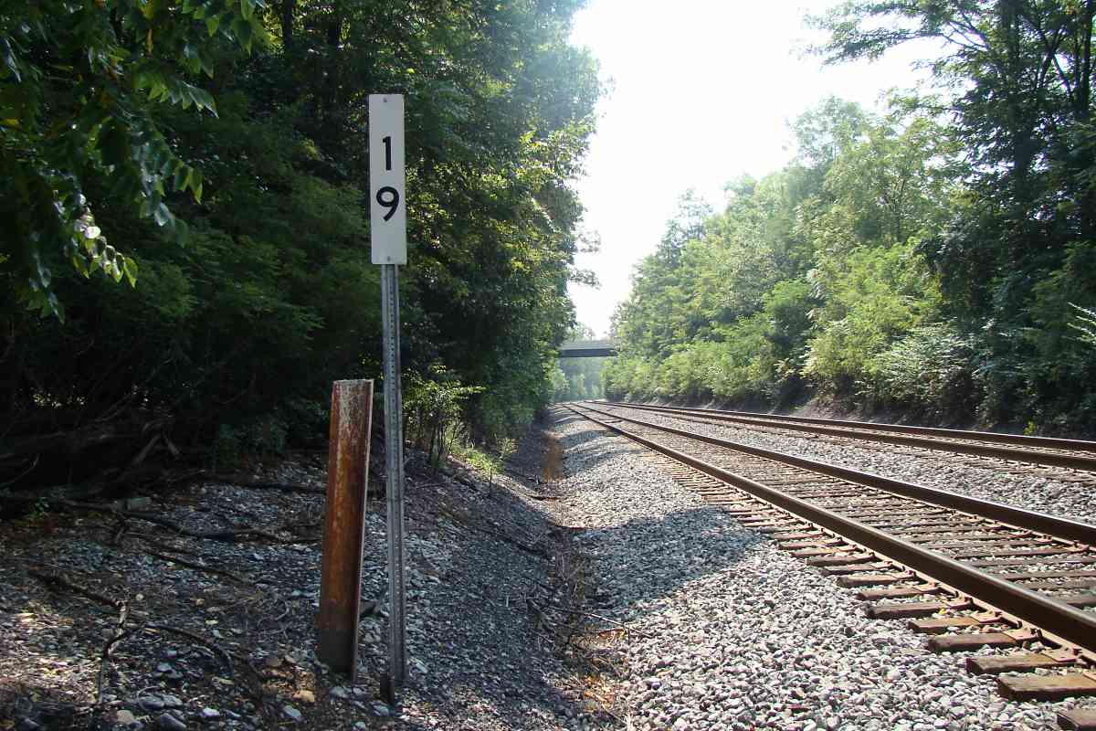
| 19 | north, south | Y | Mo 20 A 13 | CSX 5288 |
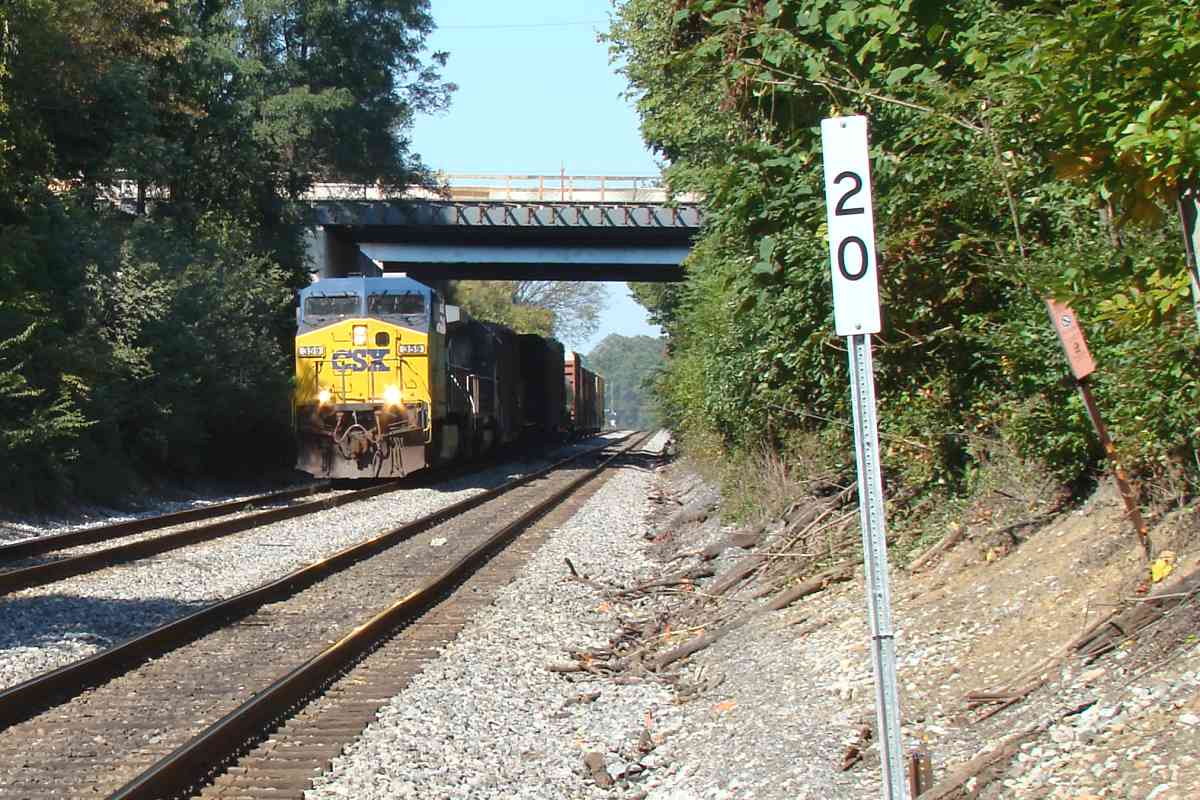
| 20 | west, south | n | Mo 19 J 11 | CSX 359, MD 200, Shady Grove Road |
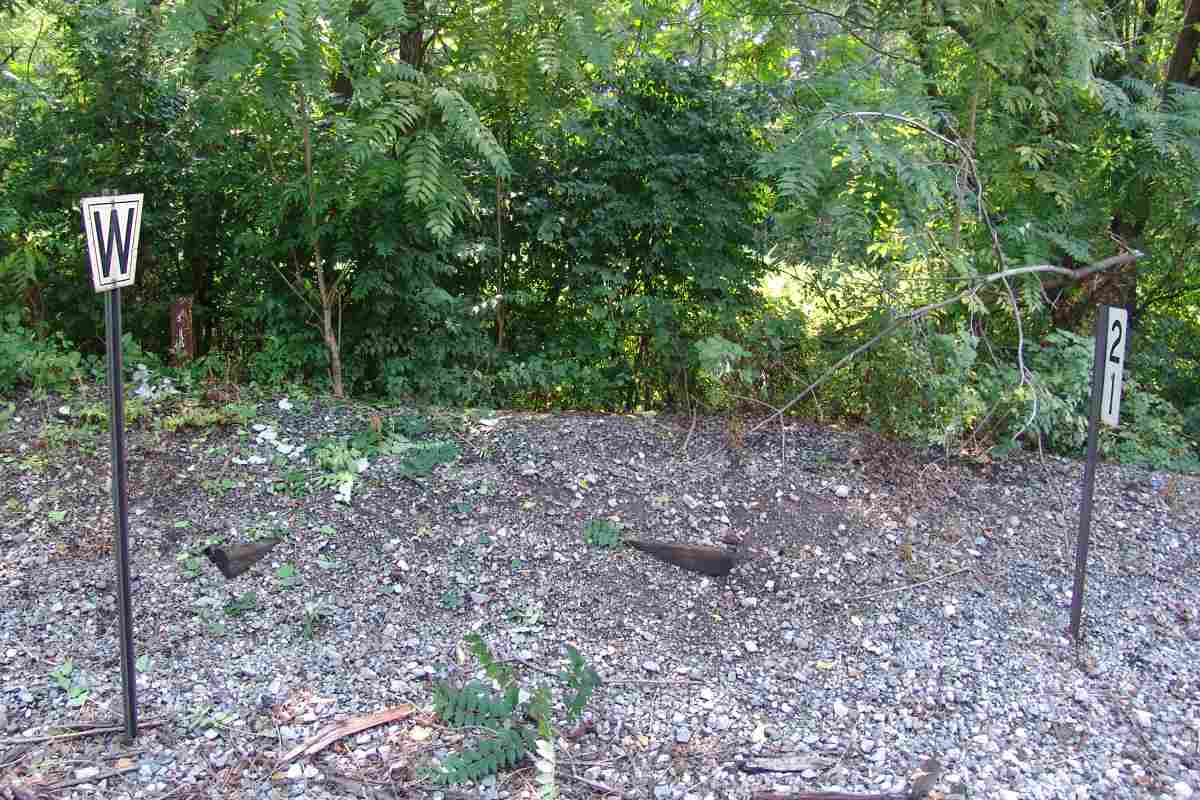
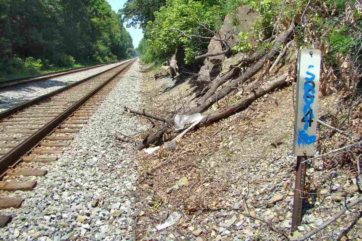
| 21 | west, south, east | Y | Mo 19 G 9 | opposite usual side of tracks; whistle post; uprooted concrete post |
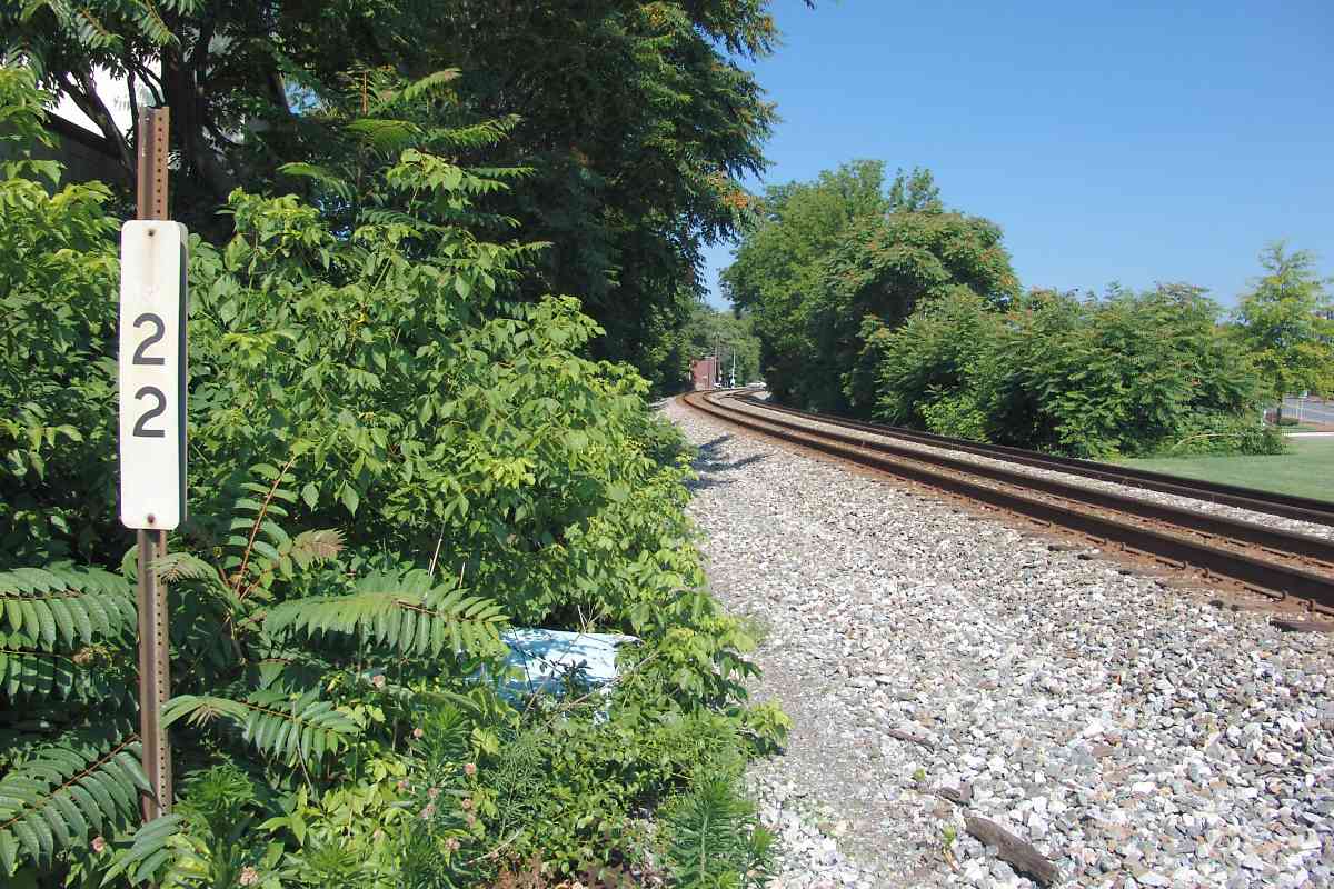
| 22 | west | n | Mo 19 E 9 | opposite usual side of tracks; uprooted concrete post |
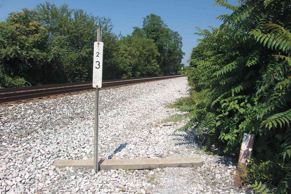
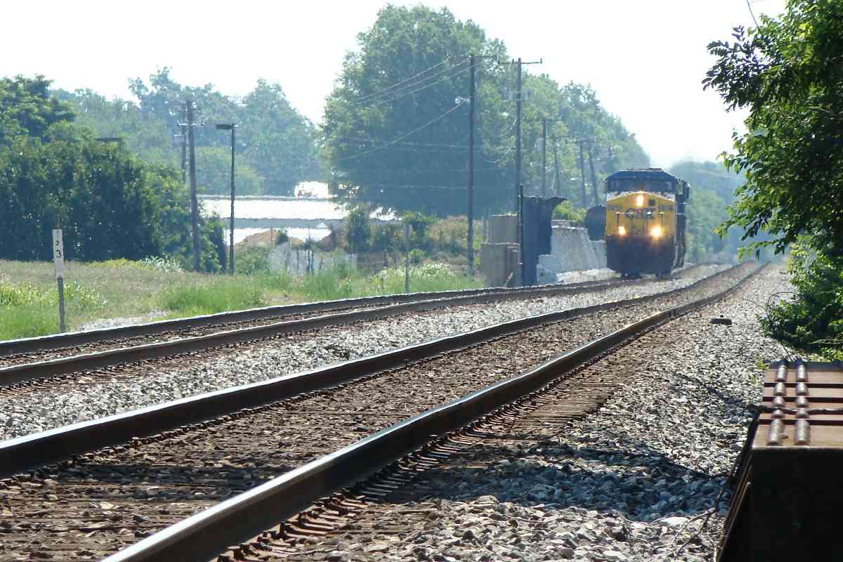
| 23 | west, east | Y | Mo 19 B 8 | small 2; uprooted concrete post; CSX 5013 |
| 24 | west, east | n | Mo 18 K 7 | |
| 25 | west | Y | Mo 18 H 6 | uprooted concrete post; S curve; Waring Station Road |
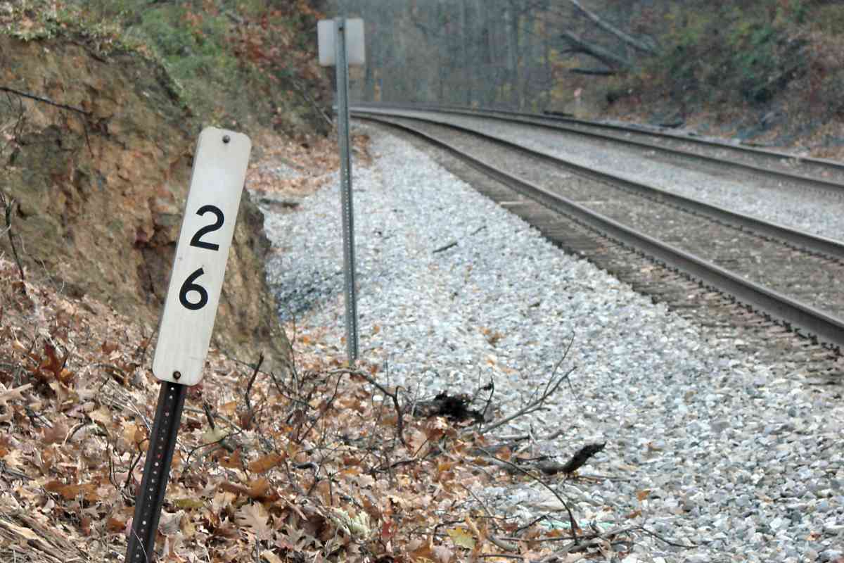
| 26 | north, south | Y | Mo 18 E 4 | Great Seneca Highway |
| 27 | west | n | Mo 18 C 2 | |
| 28 | west, south | n | Mo 17 K 1 | marker 20 hand-modified to 28 by CSX |
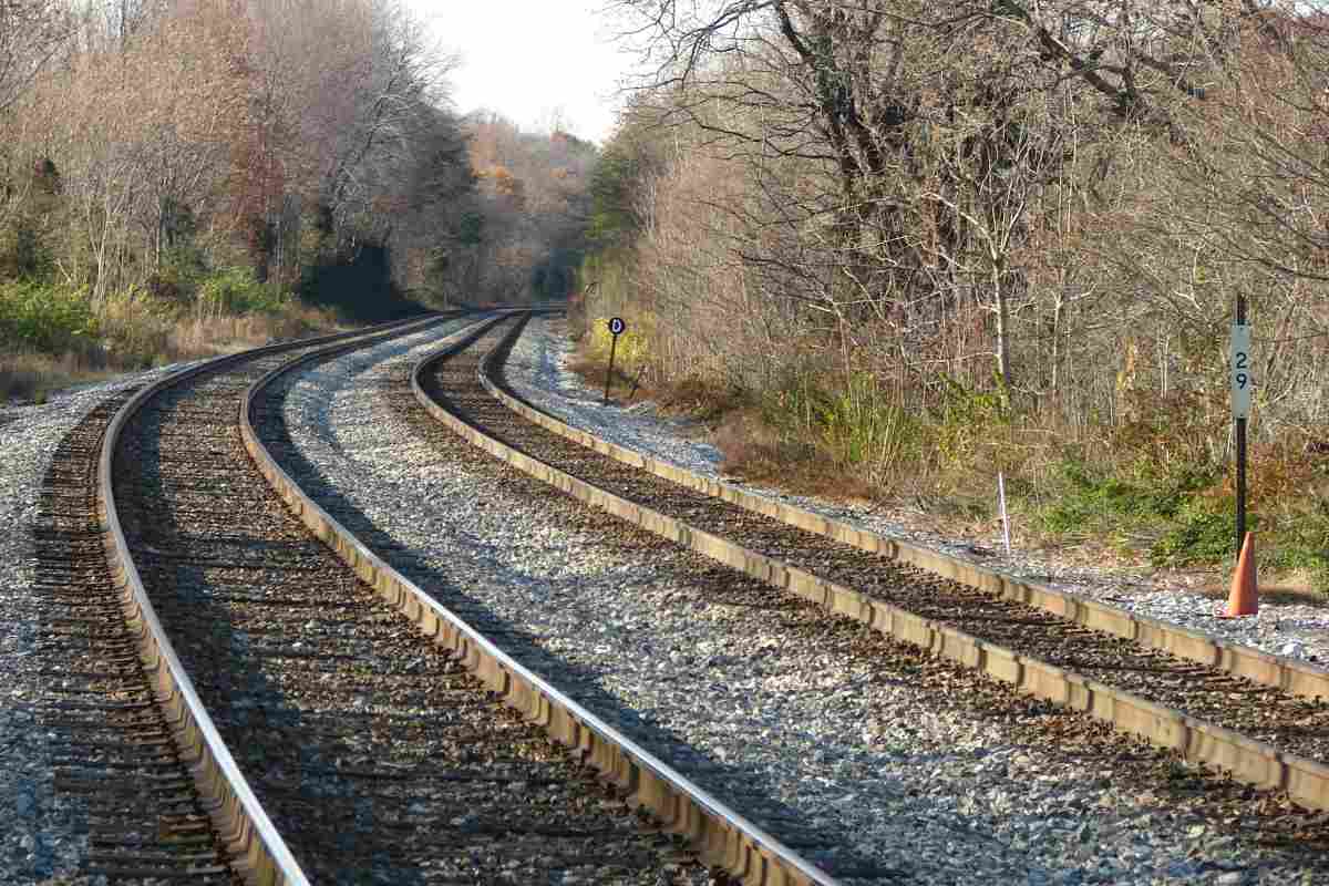
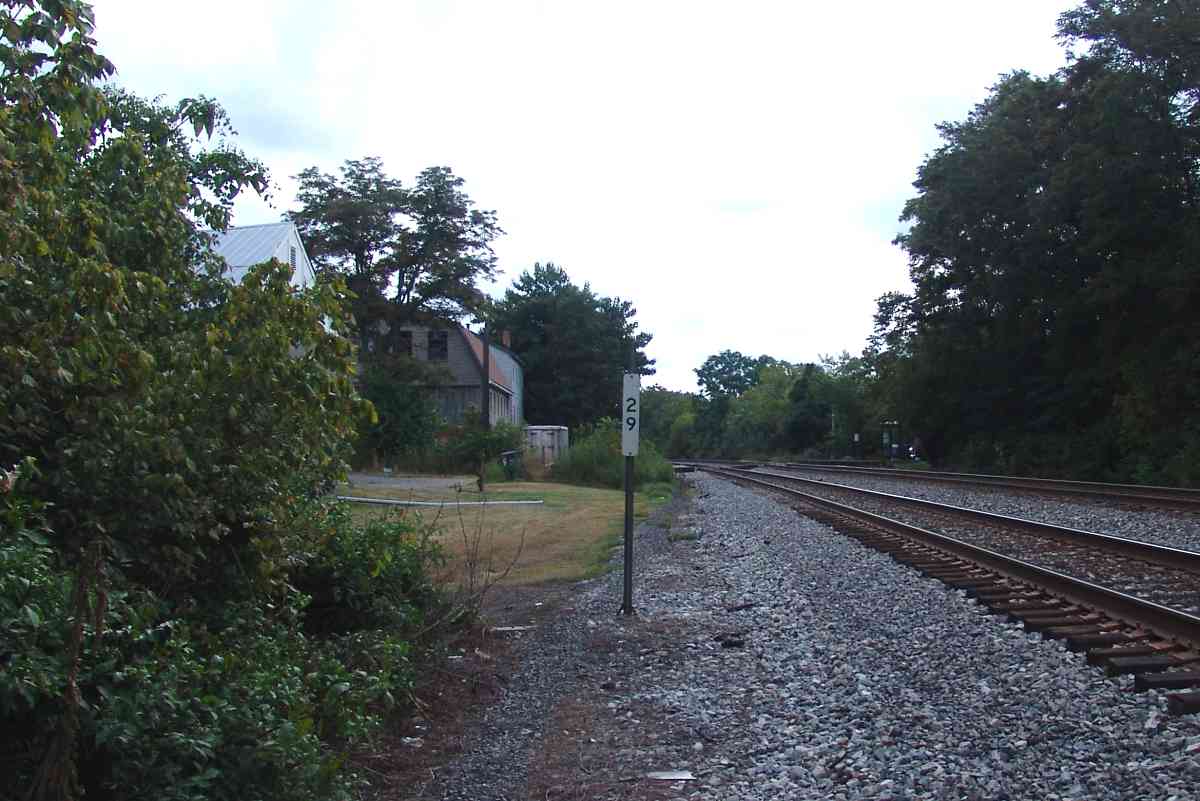
| 29 | west, east | n | Mo 17 H 1 | uprooted concrete post; digits 2-9 unusually close together |
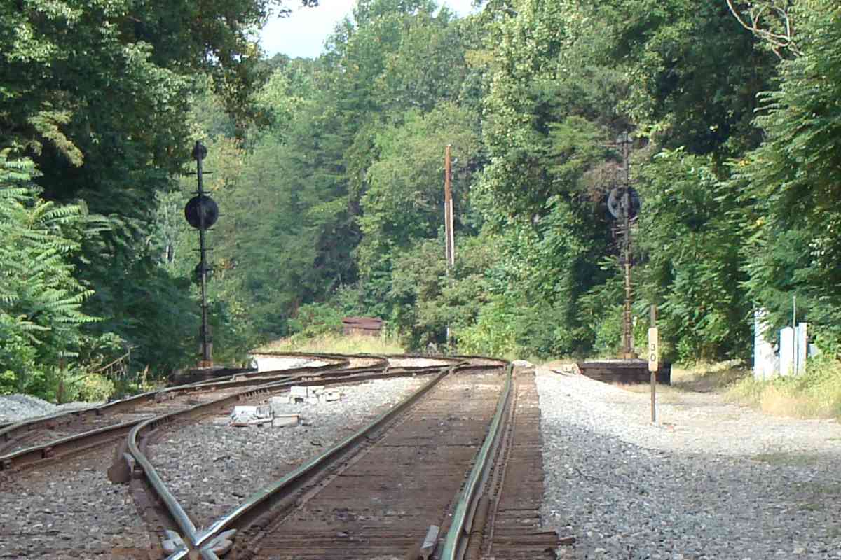
| 30 | west, east | ? | Mo 8 E 13 | CPLs at crossovers; uprooted concrete post |
| 31 | west, east | Y | Mo 8 C 12 | uprooted concrete post; leaning railpost; speed limit 70/55 |
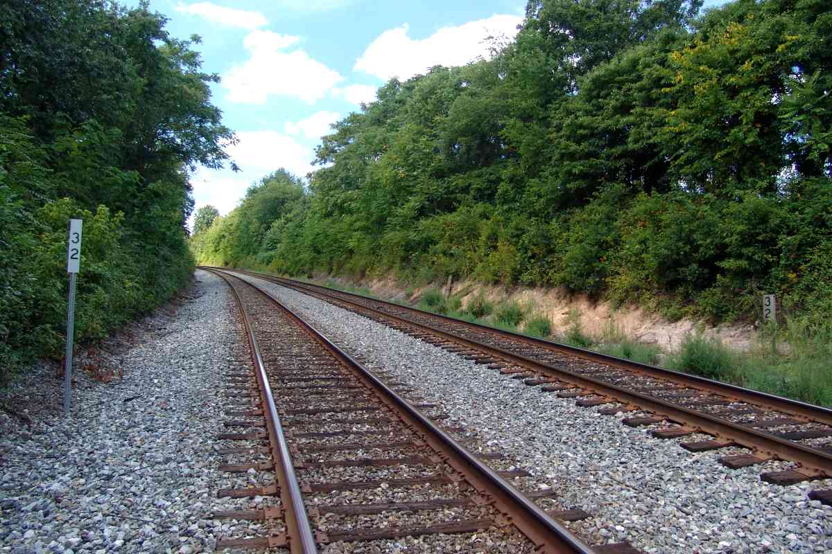
| 32 | west, east | Y | Mo 7 K 10 | dual 32s |
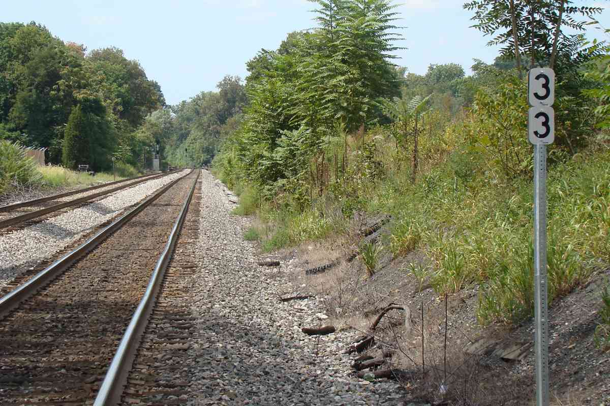
| 33 | west, east | n | Mo 7 H 10 | improvised 33; uprooted concrete post |
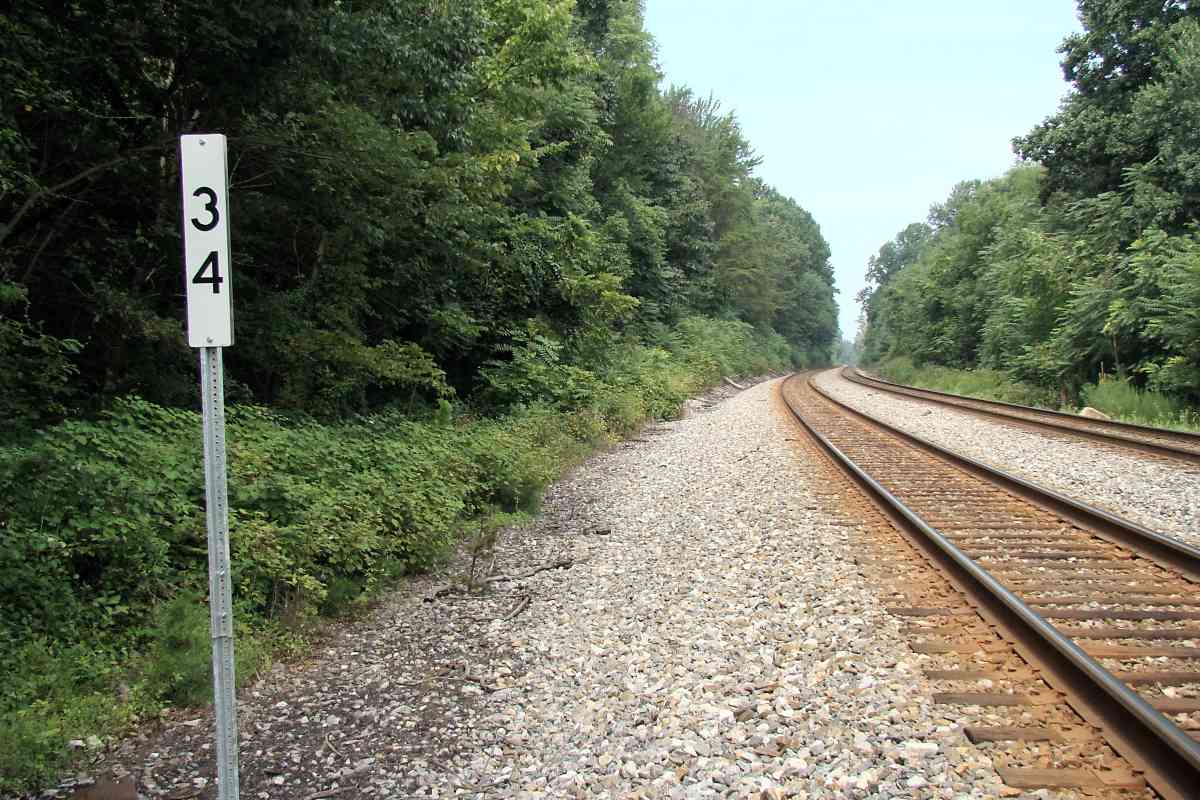
| 34 | west | ? | Mo 7 F 9 | dual 34s (each side of track) |
| 35 | west | ? | Mo 7 C 8 | dual 35s (same side of track); uprooted concrete post |
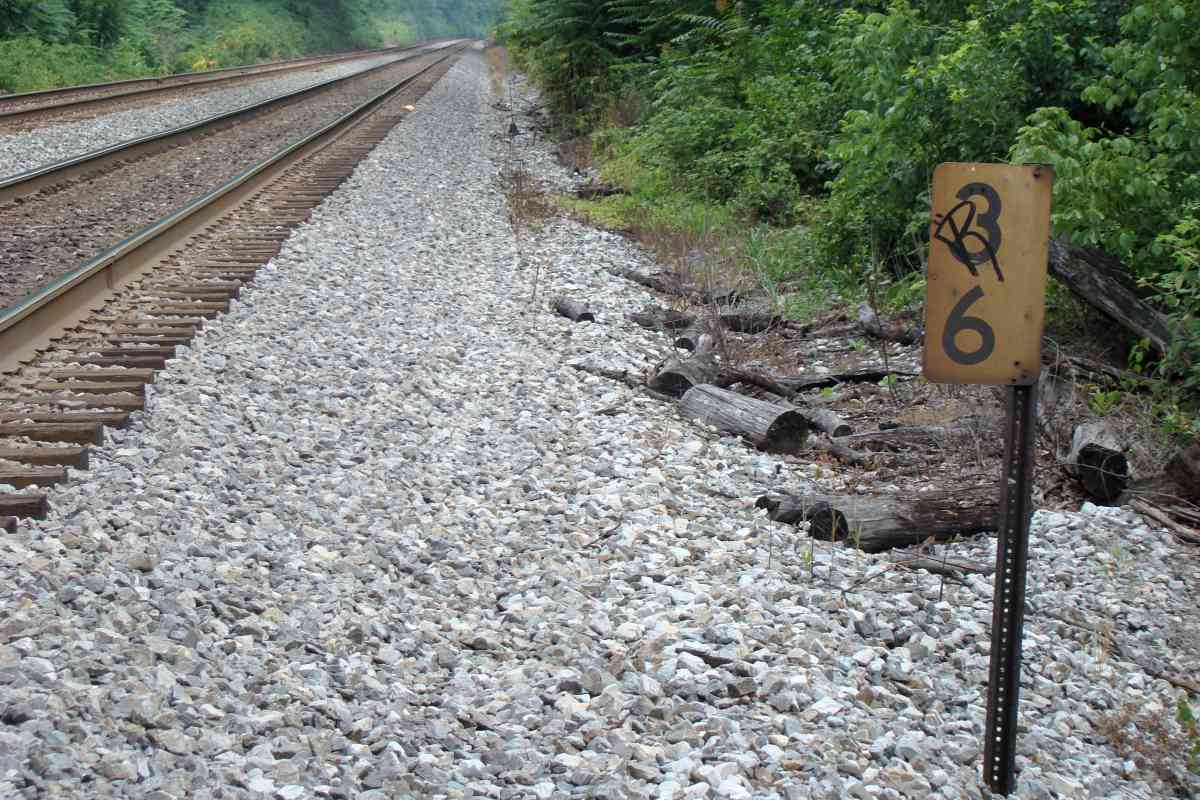
| 36 | west | Y | Mo 7 A 7 | |
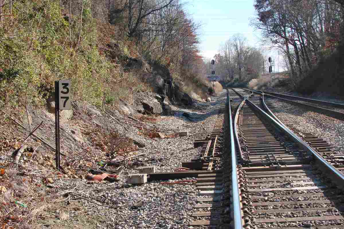
| 37 | west, east | Y | Mo 6 H 6 | different font style for digit 3 |
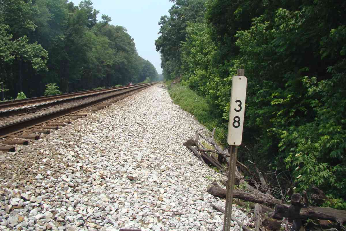
| 38 | west | N | Fr 44 J 12 | |
| 39 | west, east | Y | Fr 44 G 10 | Nolands Ferry Road |
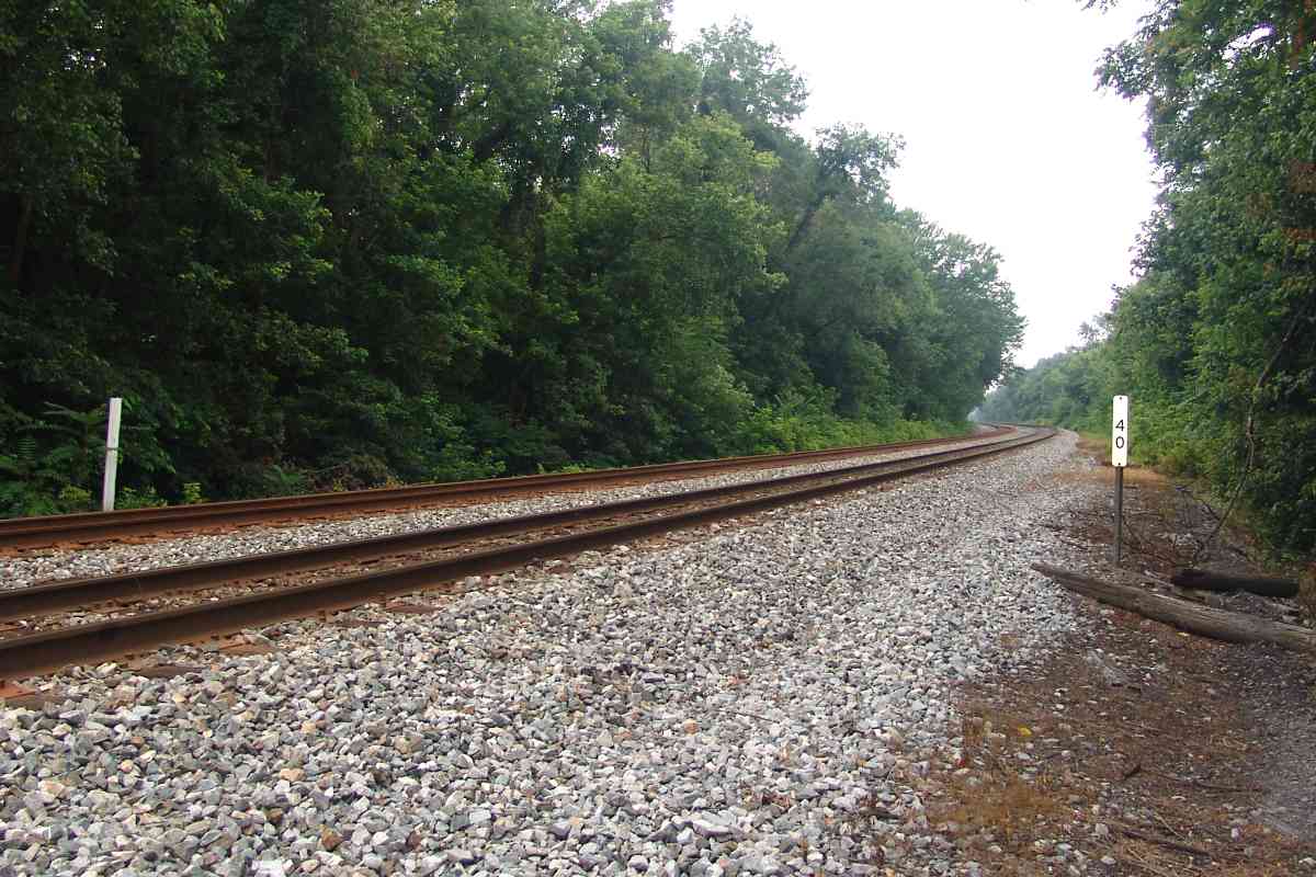
| 40 | west | Y | Fr 44 E 9 | marker-on-a-rail is on southwest side of tracks |
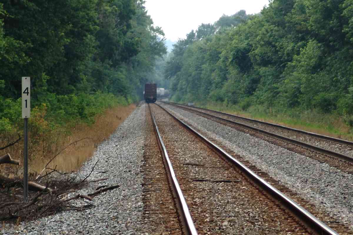
| 41 | west | ? | Fr 44 B 8 | |
| 42 | west | Y | Fr 43 J 7 | Point of Rocks is less than a mile distant |


