


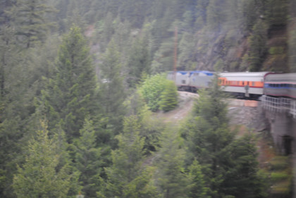
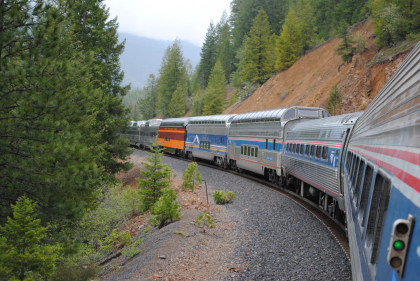
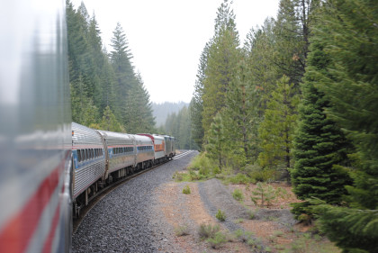
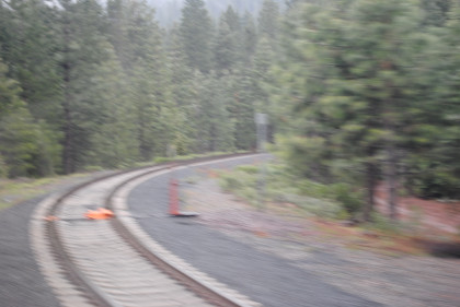
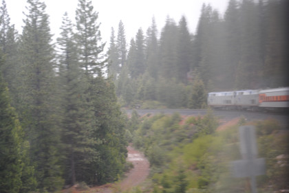
The train left the Serpentine Canyon and was on its way towards Keddie.
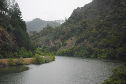
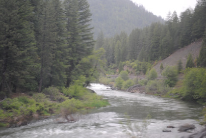
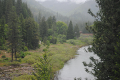
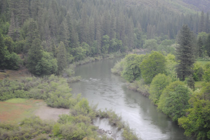
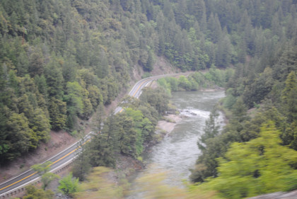
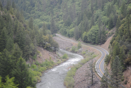
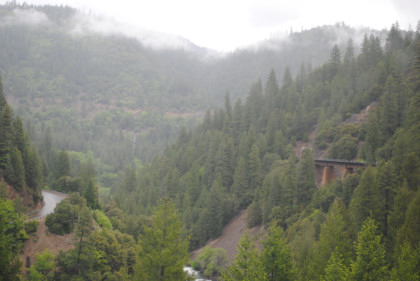
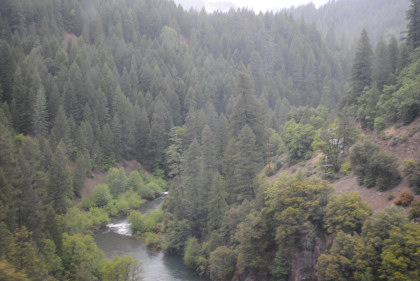
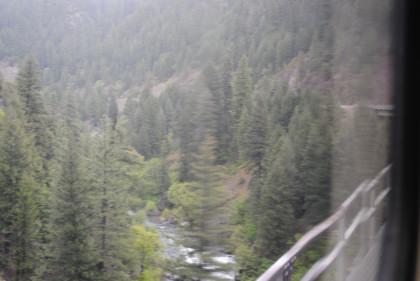
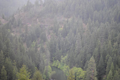
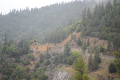
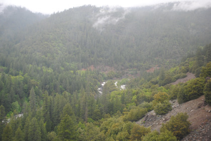
Views from Serpentine Canyon to below Keddie.

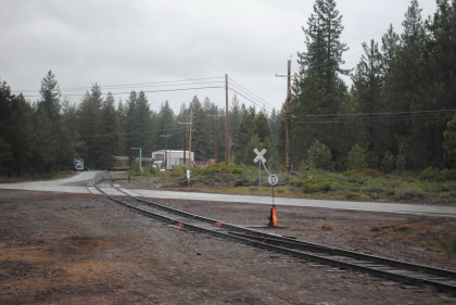
The Keddie Wye. The BNSF Pilot Engineer joined our crew and soon we were off for the High Line.
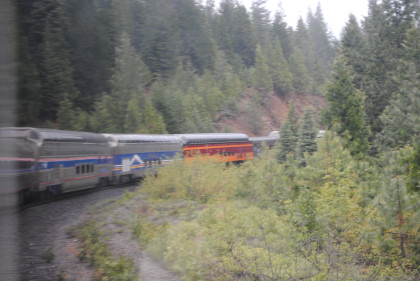
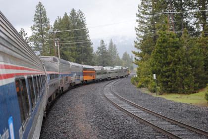
Our train started to leave Keddie.
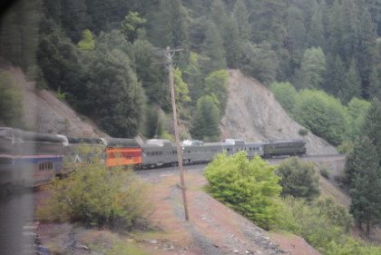
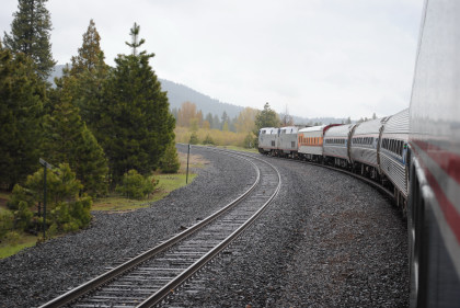
Both ends of the train as we started up the High Line.
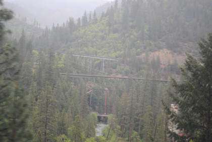
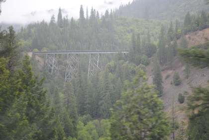
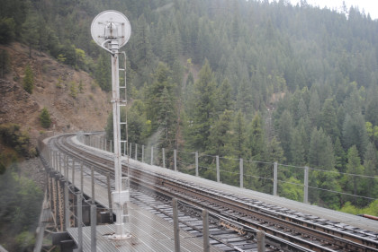
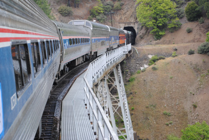
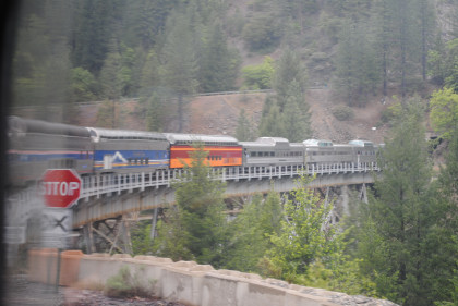
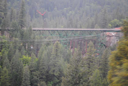
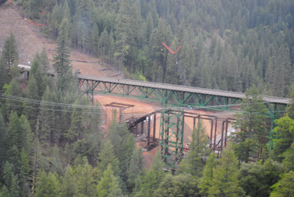
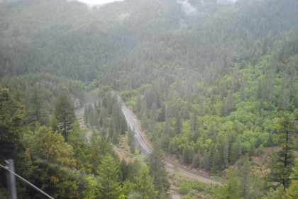
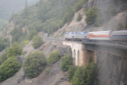
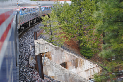
The trestle we had crossed below Keddie.
A new Highway 70 bridge was being built over Spanish Creek.
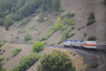
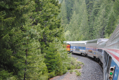
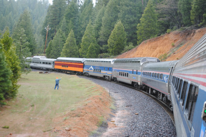
The climb out of Keddie.
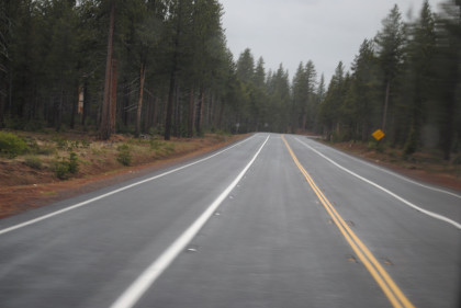
California Highway 89 far below us.
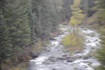
Moccasin Creek below us.
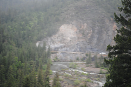
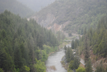
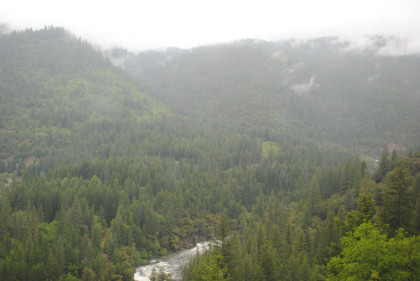
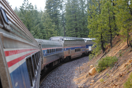
The canyon ahead.
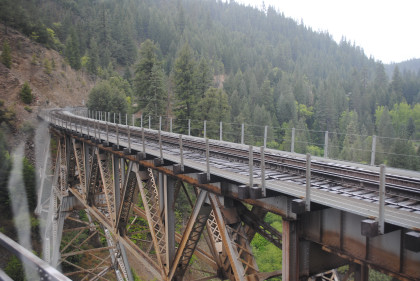
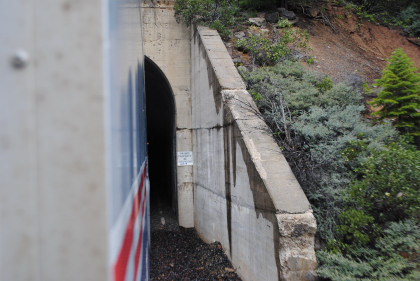
Crossing another high trestle.
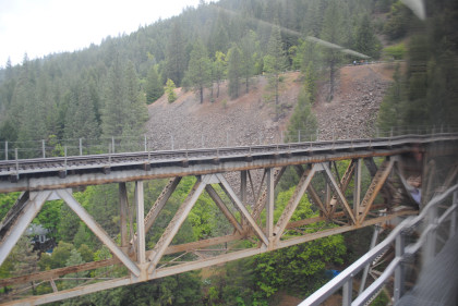
Looking down at the canyon below.
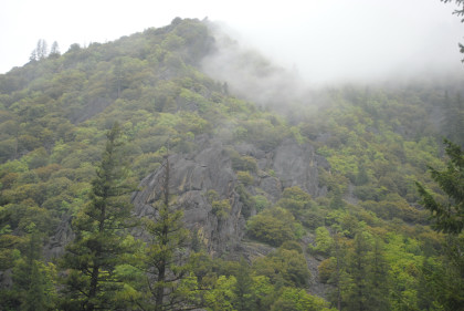
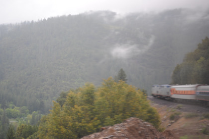
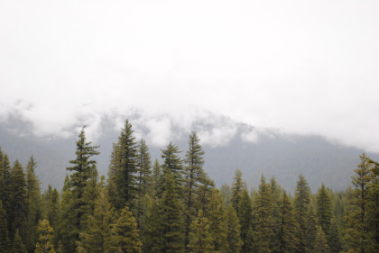
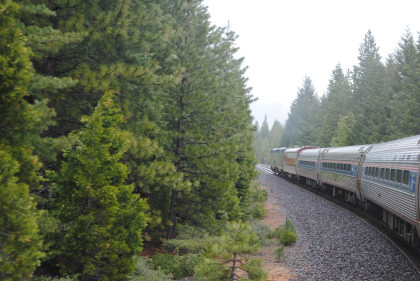
Interesting clouds and rock formations as we climbed out of the Feather River Canyon.
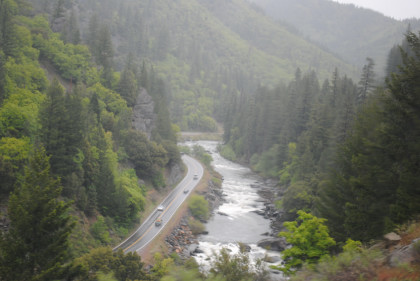
Two views looking down at California Highway 89, then at Moccasin, we met BNSF 7439 South.
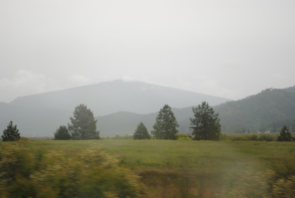

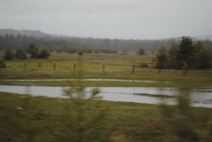
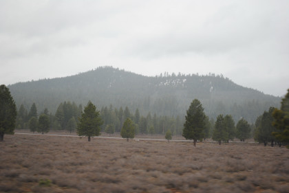
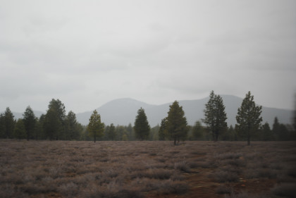
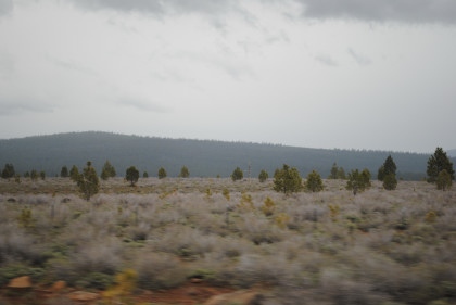
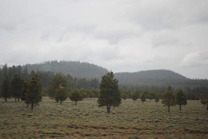
Two views of the Humbug Valley.
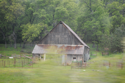
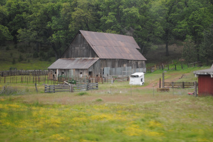
A neat-looking barn before Greenville, after which I rode in the vestibule to pass the " S" curves to climb the grade to reach Lake Almanor Basin.
The view from the vestibule as we climbed the grade.
The former wye track near Almanor.
View of the train north of Almanor siding.
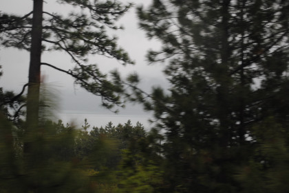

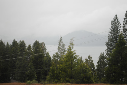
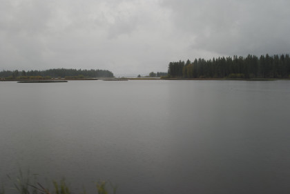
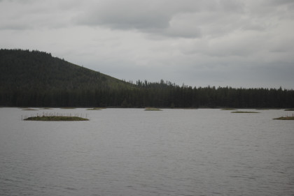
Lake Almanor.
The rear of our train north of Almanor on its way to Clear Creek Junction.
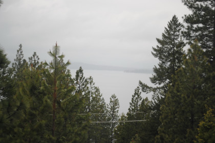
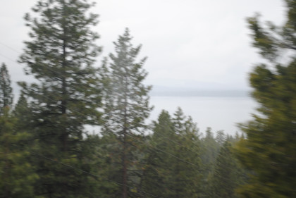
Lake Almanor.
Ohio Creek just before Clear Creek Jct.
Clear Creek Jct, where the Almanor Railroad from Chester once met the Western Pacific.
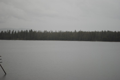
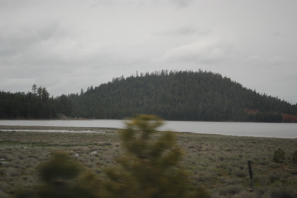
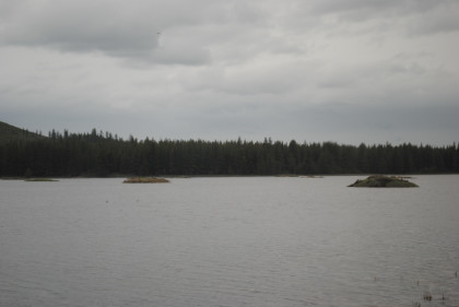
Walker Lake before Westwood.
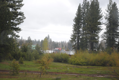
The town of Westwood.
Our train took the siding here.
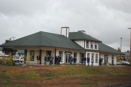
The Southern Pacific Westwood station.
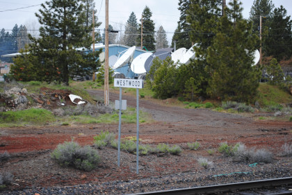
The Westwood sign. Our train waited for the BNSF 4104 South.
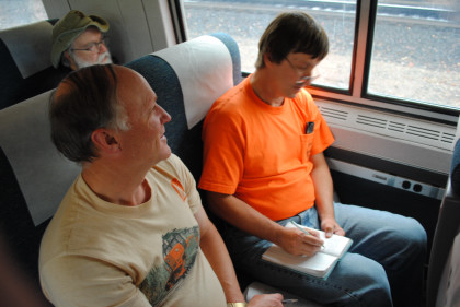
Bart Jennings working in his mileage book. The train then departed here for points north where patches of snow were visible, then next reached Robbers Creek, the next siding on the railroad.
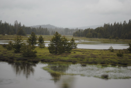
Ponds along our route.
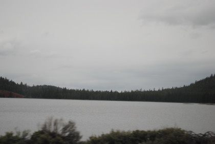
Long Lake which had ducks in it.
The train crossed Highway 44.
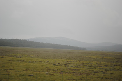
Views of Pine Creek Valley.
Views of Grays Valley.
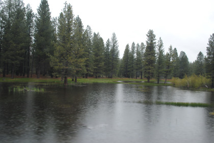
Views of Poison Lake.
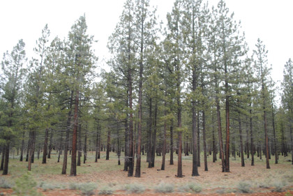
Lodgepole Pines.
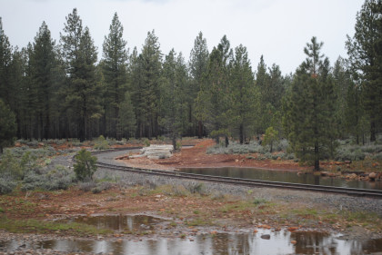
The wye at Halls Flat.


