Sandcut is the first curve in the rail line east of
Bakersfield. Located approximately 12 miles east of Kern Junction, Sandcut is
equipped with a double crossover which is located near the County Landfill entrance road
crossing. About one mile east of the crossover is the curve and eastbound downgrade
into the Caliente Creek basin which makes Sandcut a great vantage point for train viewing
and photography. Parking on the hillside on the south side of the curve at Sandcut,
you have a view to the west of the tangent track back toward Bakersfield. Your view
to the east is of the railroad dropping down a short one mile downgrade into Bena.
Bena is located three miles east of the Sandcut
Crossover and is the end of the double track which began to the west at Kern Junction.
The site of the old train order depot is near the now-closed Simplot Fertilizer
Plant. Located between Sandcut and Bena near the bottom of Sandcut Hill is the
helper spur which was heavily used by SP in the 1970's and 1980's. This location was
used to alleviate the congestion of adding helpers in the Bakersfield Yard. Although
the spur is still in use, it is used much less frequently by the Union Pacific.


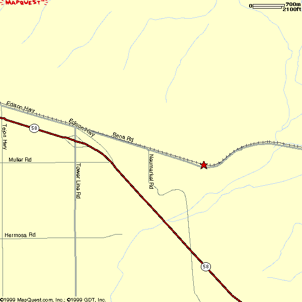
Above: Map of Sandcut
Map notes: Neumarkel Road does not connect Bena Road and
Hwy. 58.

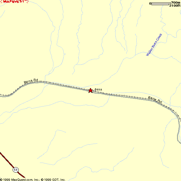
Above: Map of Bena
Directions to Sandcut and Bena:
Travel east on Edison Highway from Sumner Street (see Kern
Junction); At Towerline Road (approximately 11 miles east of Sumner Street), Edison
Highway becomes Bena Road. Sandcut Hill is located on the north side of Bena Road
(between road and tracks) approximately 2 miles east of Towerline Road; to continue to
Bena, travel east an additional 2 miles on Bena Road. Halfway between the two is the
location of the helper spur.
If you continue east on Bena Road to Caliente-Bodfish Road, you can reach Tunnel #2, Caliente and Bealville
without traveling back to Highway 58. This road combination is the way most who
visit Tehachapi will use. Many Tehachapi regulars have said that they have never
driven Highway 58 between Towerline Road and Bealville Road. All of these roads are
paved and fairly easy to follow, although they can seem a little winding and narrow in
places. If you are unsure about these roads or it is your first time in the area, I
highly recommend that you carry a road map.
Nearest services: Gas, food, lodging and retail
businesses can all be found about 10 miles west in East Bakersfield. Central
Bakersfield is an additional 5 miles west, and other services can be found in that area.