


Perth Suburban train have been serving the Perth Metropolitan decades. And it has been transformed, from a group of steam-powered local trains, into a fleet of electric trains, connecting the housing suburbs around Perth to Central Business District area.
It plays a significant role in turning the Western Australia's economy too.
And when I lived in Perth, I used to treat them like my own private vehicle, as I go from my house to my college by train. I also went to anywhere place around Perth by these trains, because back then, I regard travelling by suburban train is the most reliable way to travel around, as the bus don't go to anywhere at anytime.
Unfortunately, I had also seen ugly passenger behaviour onboard the trains, ranging from drunken people to cowardish polices. And I had also been fined twice, both of them under unfair circumstances.
Nevertheless, the trains are still and will remain as the strategic mean of transporting commuters from their houses to their working place in Perth.
Just for addition, most of the photos are those of Currambine station, as it located on the back of my house. And the other photos were left in Australia, to prevent excess baggage when I about to returned back home to Indonesia.
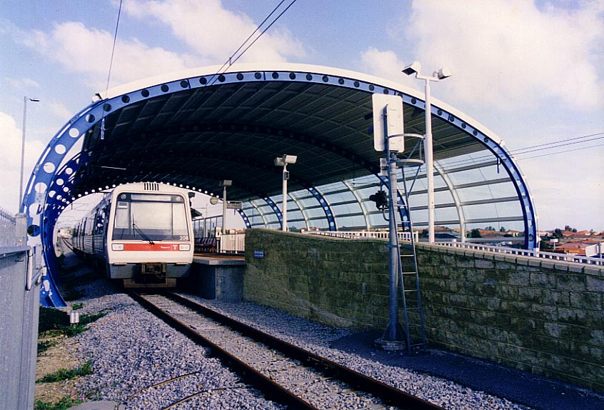 |
Currambine station, during its heyday in 2000. This station was the Northernmost suburban station in Perth, and it was built in early 1990s to serve Perth's northernmost suburbs. At this time, there was a talk of extending the railway line to Clarkson. And nowaday, the project had nearly finished, and this station is about to be demolished, to be replaced with the new station, a few metres to the East of this station. |
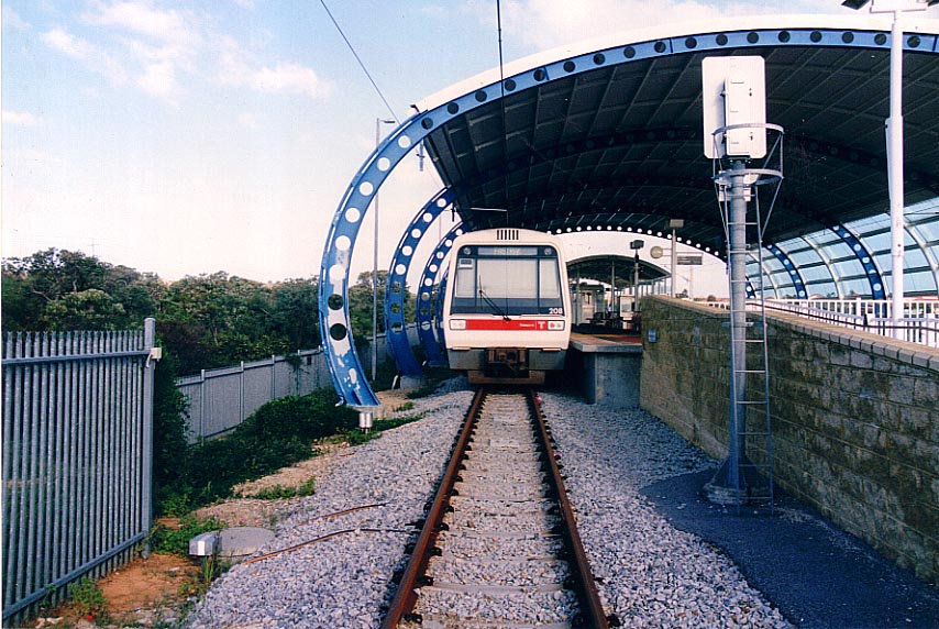 |
Another view of Currambine station, complete with one suburban train on its platform. The bush on the left of the picture has been ravaged, to build the new Currambine station. |
 |
A view of Perth suburban shed. This place is used to park the excess suburban train at night or during the public hollidays. The area on the righ of the photo has been completely changed: a new railway embankment has been built on it, and some part of the hill in the background has been dug for the railway line. The reason behind the building of completely new line, instead of utilizing the current premises is that the land originally designated for the new railway line have been occupied by housing complex. |
 |
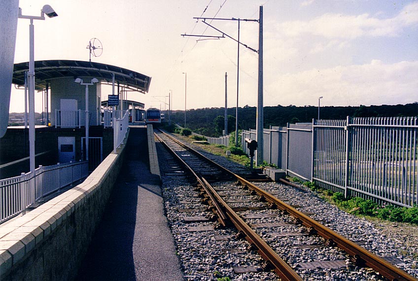
Wider angle view of the above picture, shows a different perspective of the Northern side of Currambine Station, prior to the building of the extension to Clarkson in 2002. This photo was shot in winter 2000. And when I took this photo, I didn't know if there was a plan to realign the line. So at first, I thought this photo would just be an unintersting photoshot. But nowaday the view have been changed completely, especially on the right of the picture. |
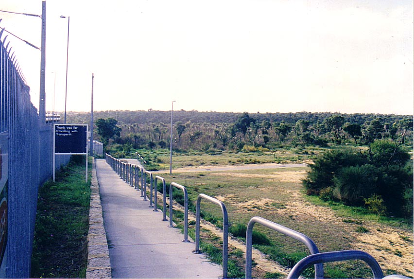 |
The area to the east of old Currambine was once an empty bushland, with a small footpath which connect the station with a nearby suburb (I don't remember the suburb's name). This is how the area used to looked like, before being ravaged, to make way to the new railway line to Clarkson. |
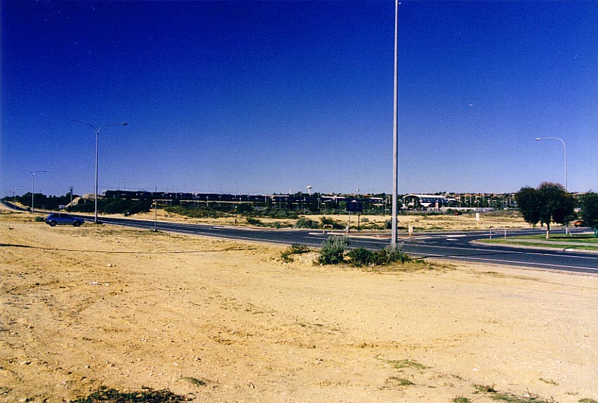 |
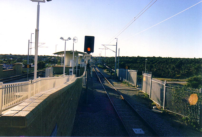
A further view of Currambine station during one Sunday in 2000, with Burns beach road in foreground. You can spot if it was Sunday or public holliday because the extension line were packed by trains. Note the absence of the new railway bridge above the Burns beach road. |
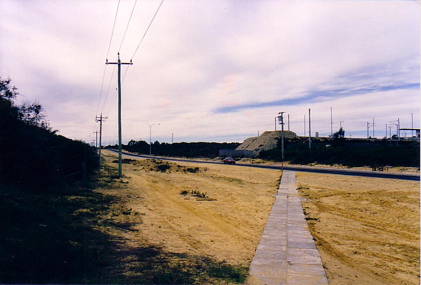 |
A closer view of the above picture. There used to be no railway bridge above Burns Beach Road. But now there is one. And is located beside (behind, from this point of view) the buffer stop in this picture. This photo was taken in Summer 2000. Note the thick cloud which was caused by severe heat. |
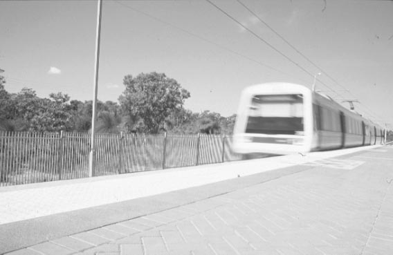 |
A black and white photo of an approaching suburban train in Curambine station. This photo provide a good look of how was the bush beside Currambine station used to look like before it was cleared. |
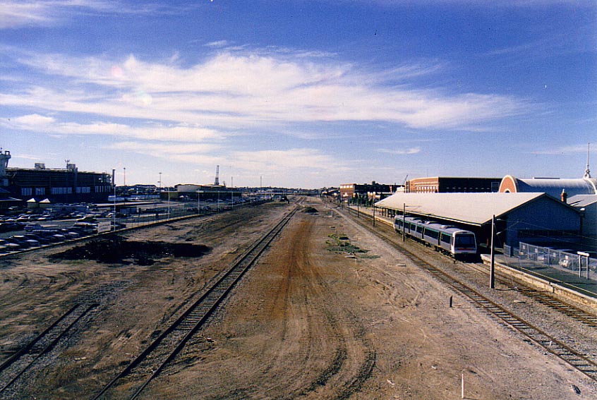 |
The birds-eye view of Fremantle station, which was taken from a pedestrian bridge. Two railway lines on the right of the picture are narrow gauge lines. Whereas the rest (including a discontinued line on the left) are standard gauges. There used to be more rails in the yard, and once there was an island platform to the left of the narrow gauge lines. But those has since been disappeared, due to declining traffic in 1990s, and the standard gauge line was realigned closer to the station building, and this pedestrian bridge has since been demolished. |


