


The township of Leles is just a small town located on the foot of Mount Papandayan volcano. It might just be a small town which is located in the middle of Bandung-Garut highway. There even no train that made regular stop at there (except for local trains).
But it doesn't mean that the place is the spot that we could pass easily, because this place is best spot to take the train pictures on the East of Bandung.
Among the best features of this place is the presence of a big ascending horseshoe curve, where the train would round the curve before climbing the hills near the town. The line was designed in this way to reduce the gradient. Another feature is the series of bridges on the hills near the town. These railway bridges are hardly visible from the road, as they are hidden behind the trees.
I think that's all that I can explain now. The rest it's up to your opinion about the photos.
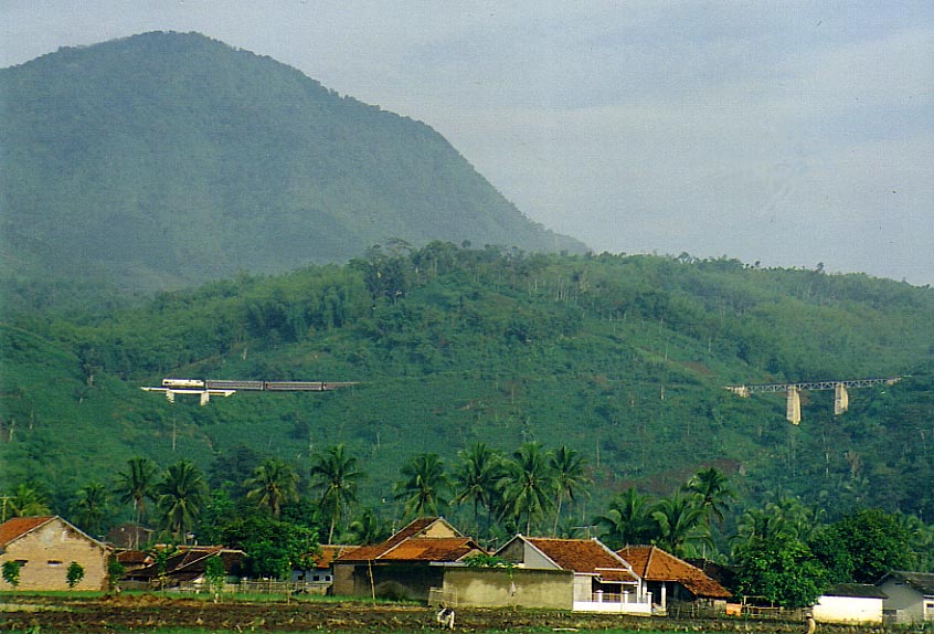 |
Up above the town of Leles there are series of railway bridges whose are nestled on the hills. The railway line itself are hardly visible because it's hidden behind the cuttings and trees. Note the Surabaya-bound Pasundan train pulled by a CC201 with the engine leading. |
 |
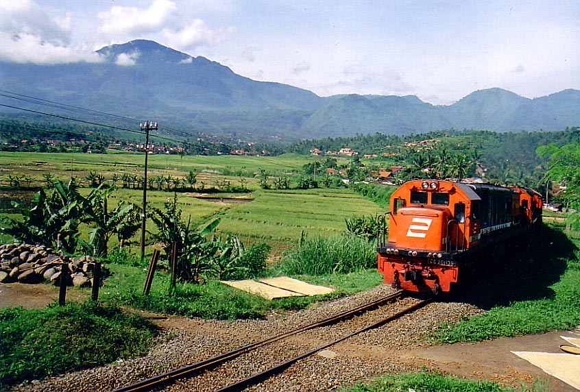
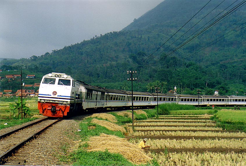
The Eastbound Lodaya train is about to enter the horse-shoe curve at leles. The deep cutting in the background will give a sensation to the passengers (and onlookers as well) as if the train entered a tunnel. This trackside area was once an uninhabited area. But when one nearby village was damaged by a landslide, it was later relocated to this place. |
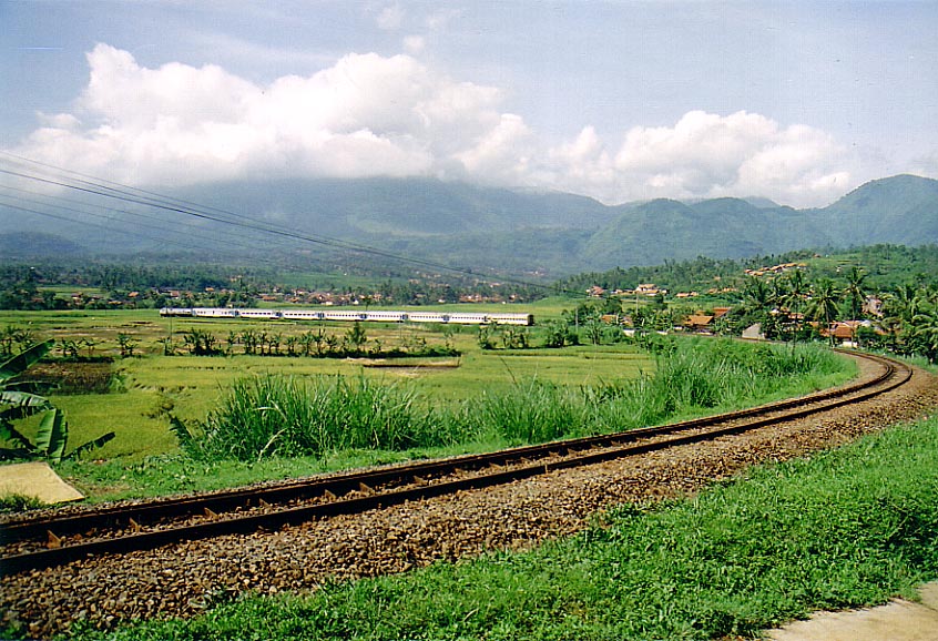 |
The view of the horse-shoe curve taken from the hill above it. Note the Lodaya train (from the above picture) have just rounding the curve and is now approaching the Leles town. |
 |
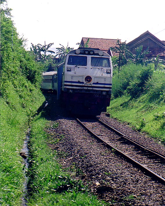
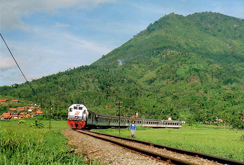
A few hours before the Lodaya train approaching the curve, a Semarang-based CC201139R pulled a local train who broke down near Leles. Its broken locomotive is on the back of this CC201. Mount Papandayan volcano can be seen in the background. Its last violent eruption was back in late 2002. |
 |
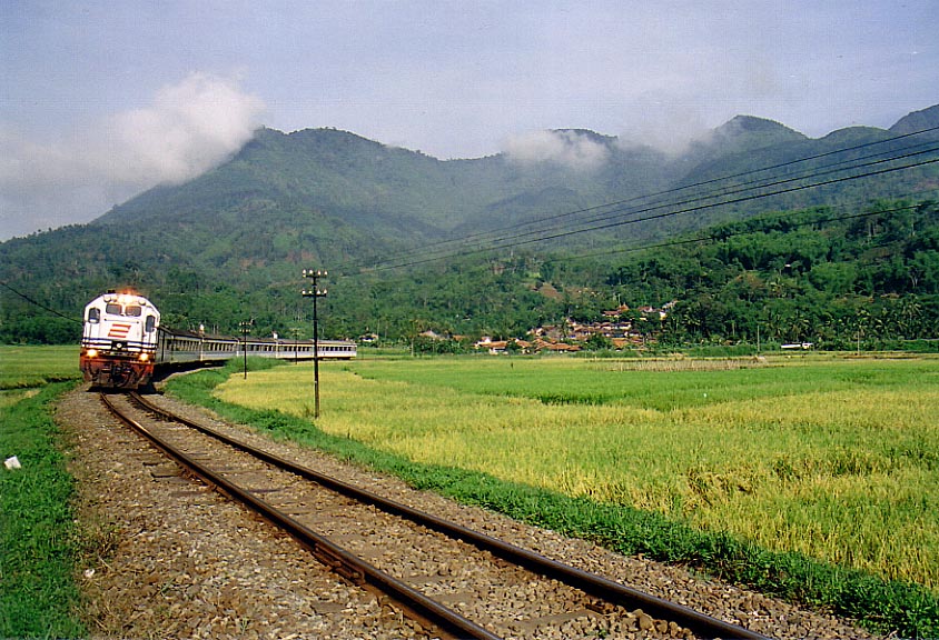
Argo Wilis express train is seen rounding the curve at Leles. It is bound for Surabaya. This idyllic area is very quiet. And the only big noise in this area is the one that was made by the passing trains. The villagers who live in the surrounding hills also uses the railway line as an access way to the town of Leles. |
 |
A wider angle view of the area with the same train, although this time the driver seemed to be more appreciative with my presence at there. He even turned the lights on! Note a small railway bridge to the right. For the newcomers on this railway line the bridge would be mistaken as a part of the line which branched from the mainline. Only when they saw their own locomotive crossing the bridge that they realize the bridge is still a part of the mainline. |
 |
This Argo Wilis train is pulled by unusual locomotive: CC20335. The view itself is reminiscent of the days when this train was still pulled by CC203. Just for a note, when it was first introduced in 1998, Argo Wilis trains were usually pulled by CC203. But due to the reduced number of passengers in recent years, the train was shortened and the CC203 was replaced by the less powerful CC201 (normally from the last production batch which featured ditch lights). |


