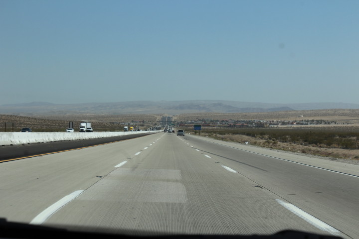
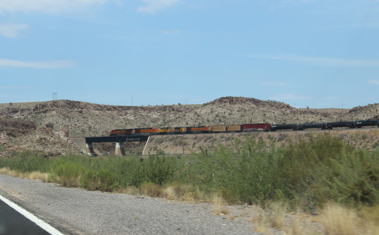
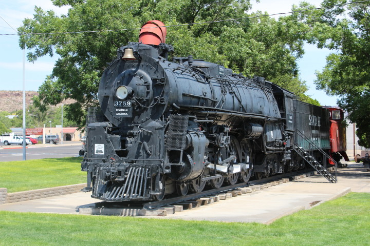
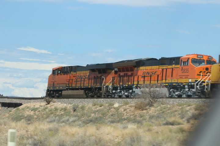
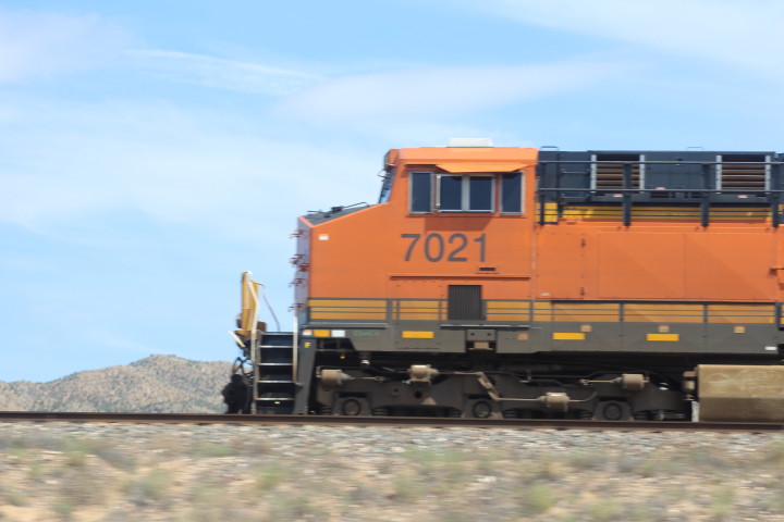
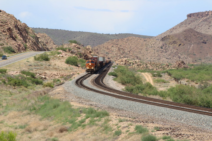
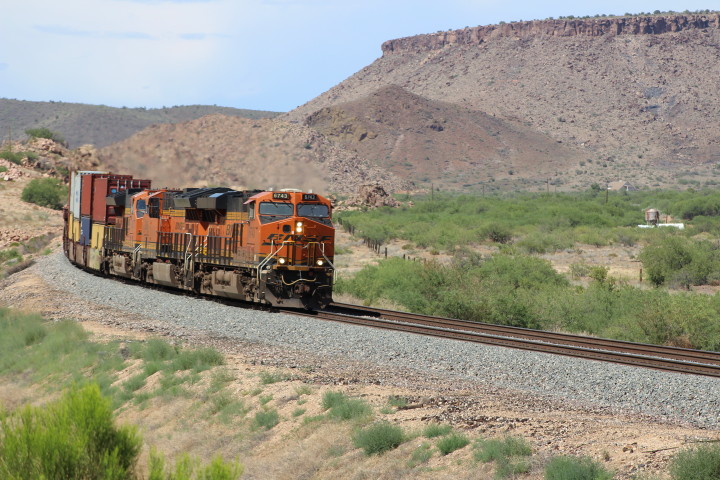
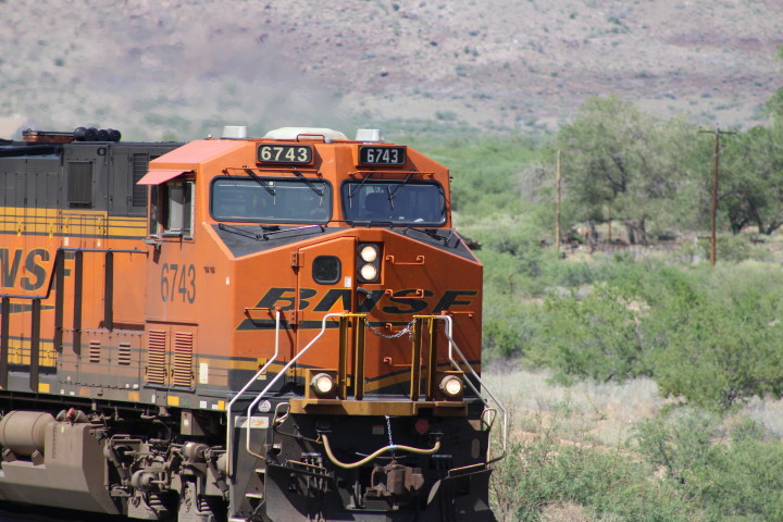
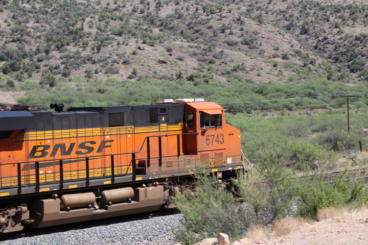
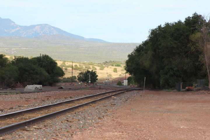
Back on I-40 we headed east
bound for Williams. Taking the Williams exit, we head for the
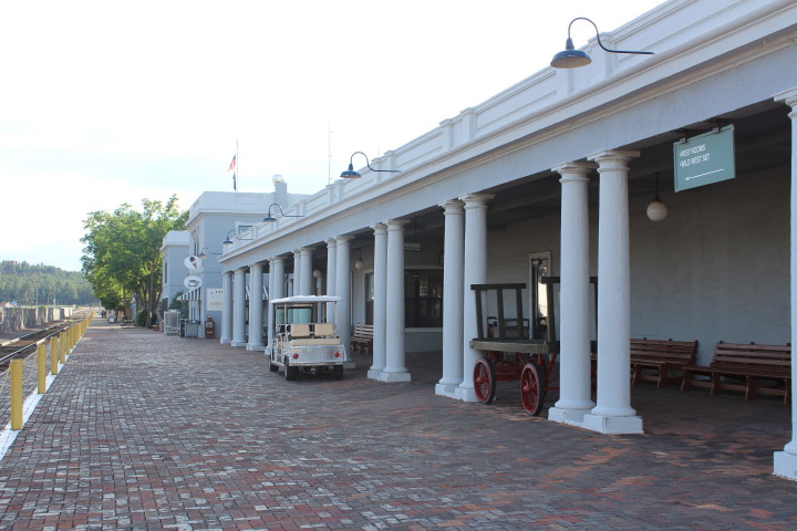
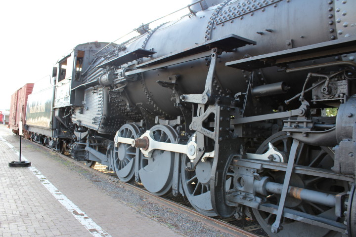
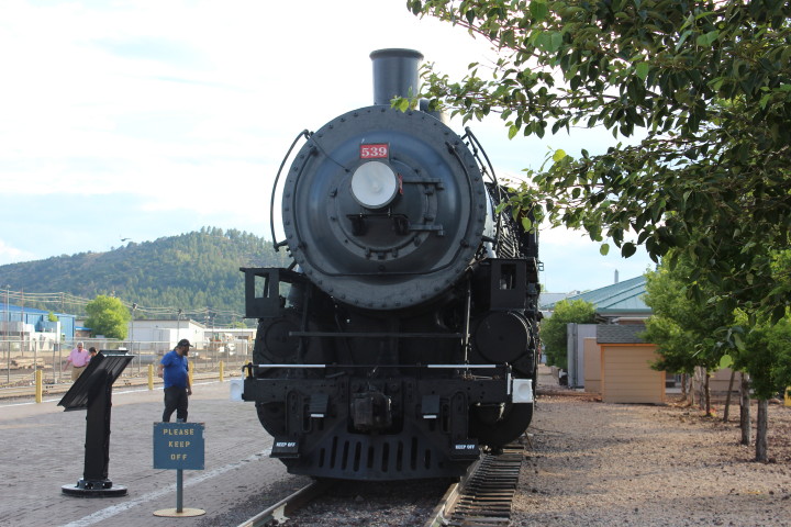
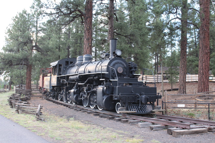
Williams Santa Fe Station and the Grand Canyon SP&S
2-8-2 539 on display.
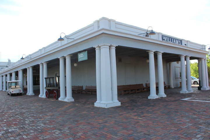
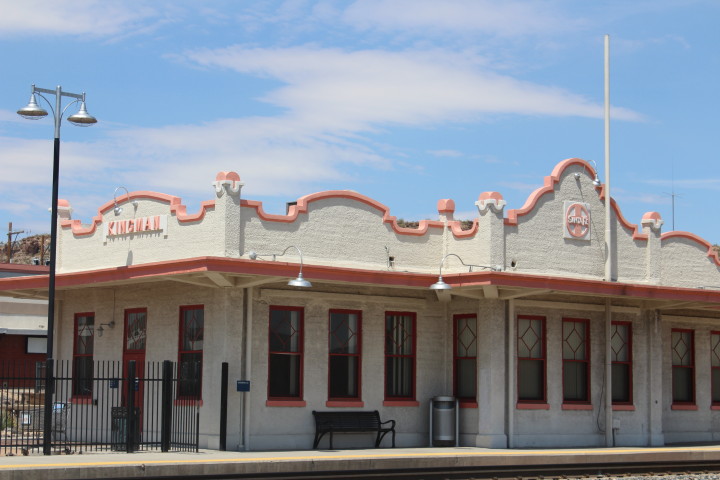
Grand Canyon Railway Station.
The Amtrak station is
located in Williams Junction, AZ which is three miles away
from this station. Shuttle service provided by Grand Canyon
Railway.
Williams was named after
William (Bill) Shirley Williams, the early mountain man who
guided trapping parties and expeditions through the
wilderness. Primarily a resort town, Williams marks the
beginning of the major entrance route to Grand Canyon
National Park. The town is at the base of Bill Williams
Mountain and boasts an 18-hole golf course and a ski area
offering both downhill and cross-country skiing. In the
surrounding Kaibab National Forest cross-country skiing and
hiking are popular.
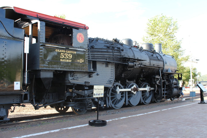
Spokane, Portland and Seattle 2-8-2 539. Used to be on display
in Battle Ground, WA.
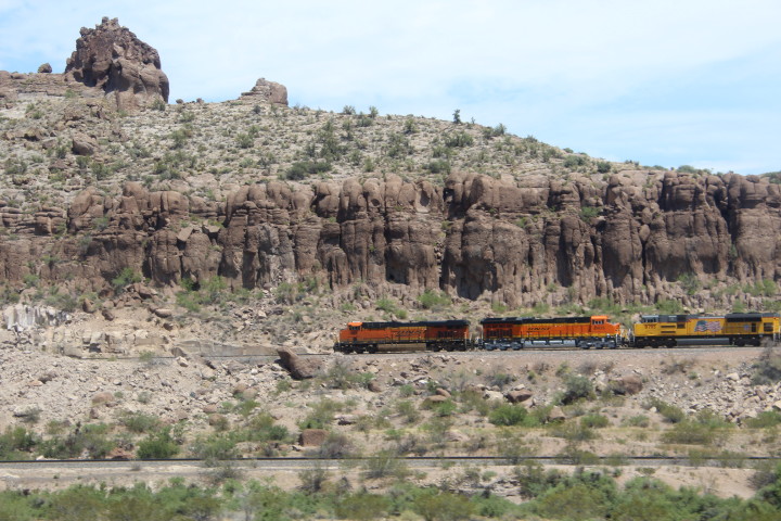
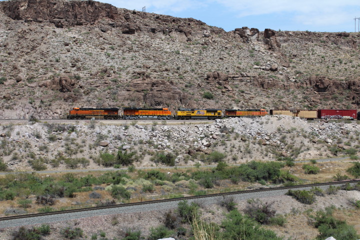
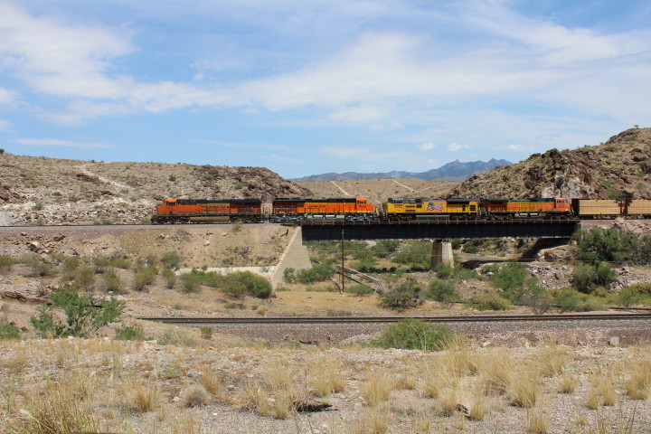
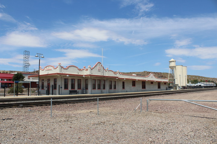
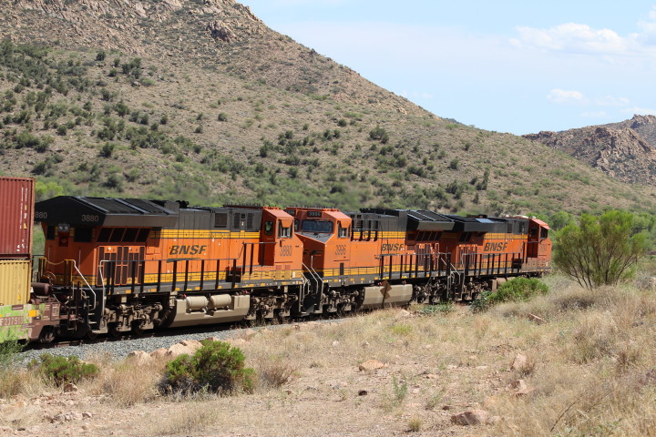
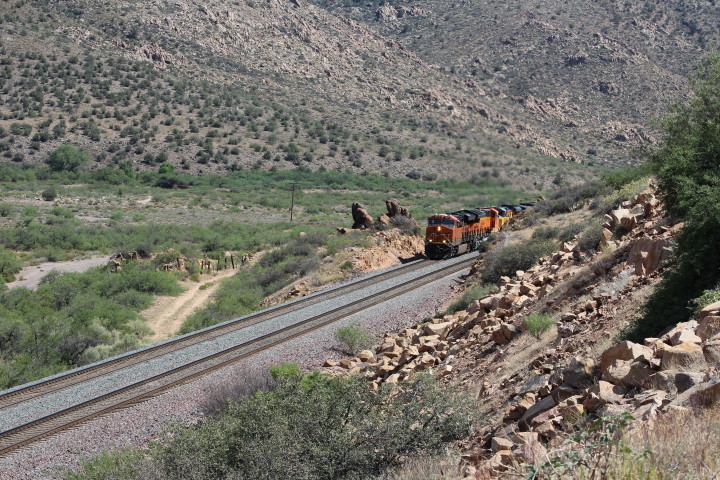
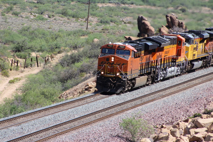
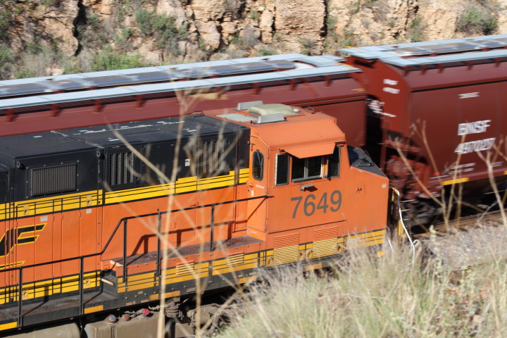
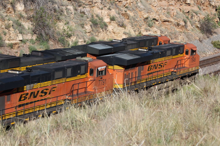
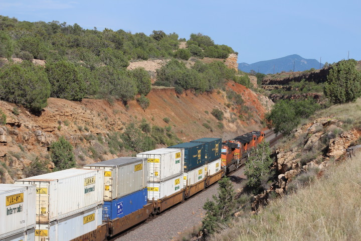
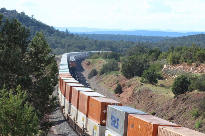
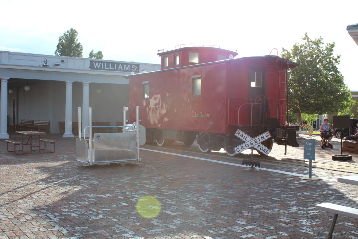
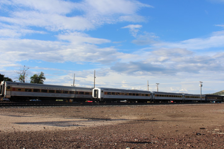
Grand Canyon Railway,
.5mi s. of I-40 exit 163, offers round-trip excursions
through grassy plains and pine forests to the South Rim of
the Grand Canyon aboard 1950's-era passenger cars powered by
vintage diesel locomotives. Strolling musicians, Western
characters and mock train robbery provide entertainment
during the ride.
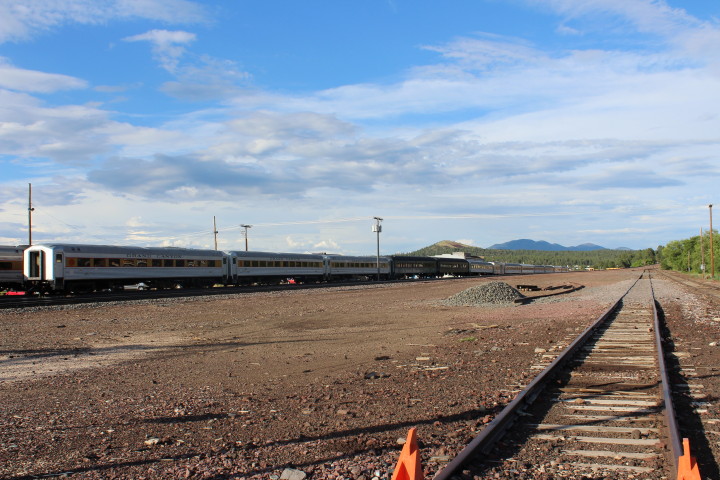
Passengers arrive at the 1910 Grand
Canyon Depot, in the historic district at the South Rim; the
depot is the only working log depot in the country.
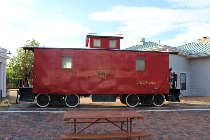
Grand Canyon Railway passenger cars.
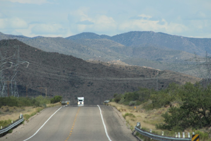
Leaving Williams, we
again head east on I-40 to our last stop for the day,
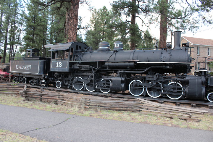
Flagstaff. In Flagstaff we take exit 195 -AZ 89 then
north on US 180 to the Arizona Historical Society Pioneer
Museum which has Southwest Forest 2-6-6-2 12 on
display.
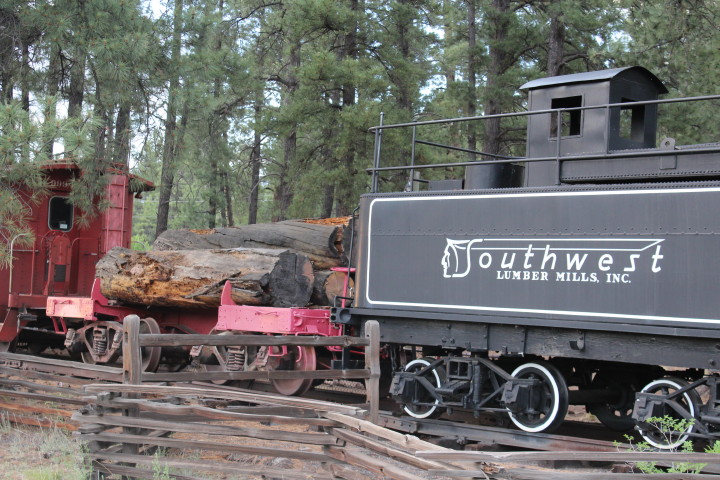
The museum is in a former
hospital for the indigent built in 1908 and contains
interpretive historical exhibits about livestock, medicine,
domestic life and the lumbering industry in northern
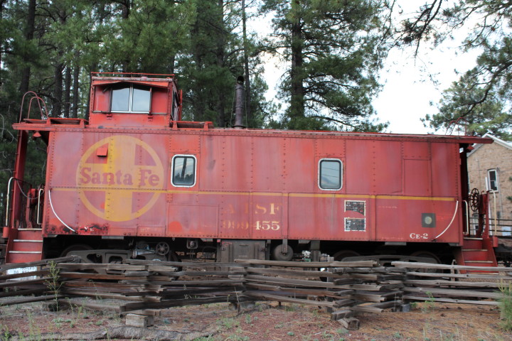
Arizona. A 1908 homesteader's cabin, a 1929 Baldwin
articulated locomotive and a 1940's Santa Fe caboose are on
the premises.
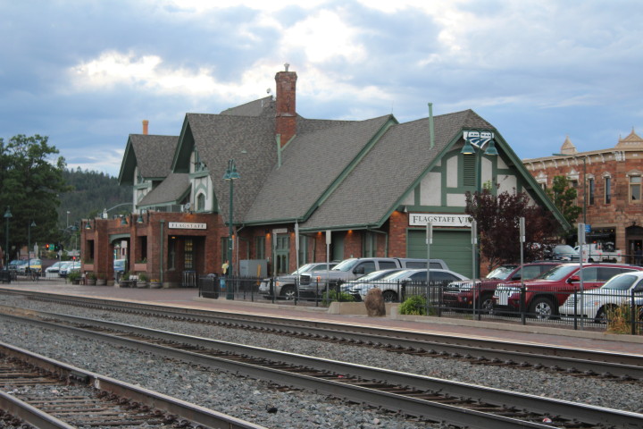
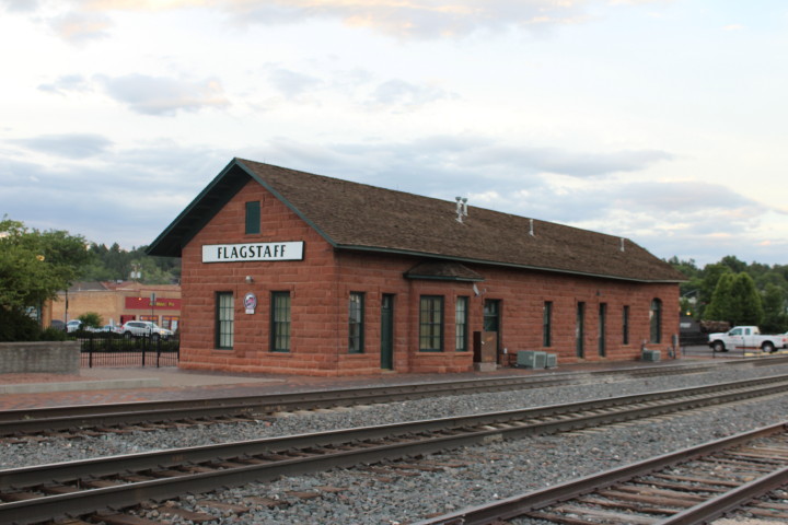
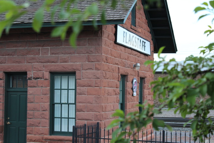
Next we went back to the
center of town to the Flagstaff Railroad Depot on SR 66
between S. San Francisco and S. Beaver streets, opened in
1926.
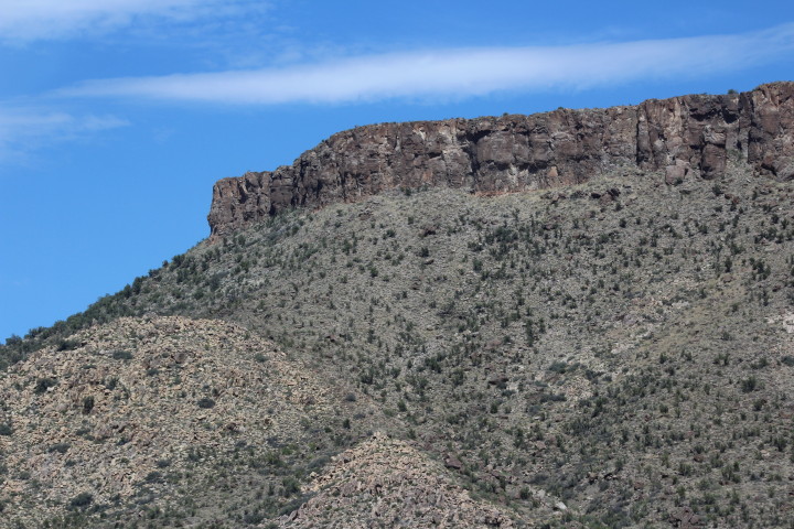
Flagstaff rests on the Colorado Plateau
under the gaze of the San Francesco Peaks amid ponderosa
pine forests, high deserts and lakes. Dusted with snow in
winter and wildflowers in summer, the mountains provide a
scenic backdrop for what was once a mere rest stop.
The town was established in 1881. The
name Flagstaff is believed to refer to a ponderosa pine tree
that was stripped of its branches and used as a flagstaff by
members of an exploration party during Fourth of July
celebrations in 1876. The flagstaff, visible from afar,
remained in place to serve as a landmark for wagon trains
bound for California; transients knew that they would find a
good place to camp when they spotted it.
Shepherd Thomas F. McMillan, said to be
the town's first permanent resident, deemed the lane perfect
for raising sheep when he arrived in 1876. Early industry
revolved around timber, sheep and cattle, but when the
Atlantic and Pacific Railway Co. (now the Santa Fe) decided
to merge with the Southern Pacific line, settlers again put
out their welcome mats, providing water and supplies to the
railroad crews. The railroad reached Flagstaff in 1882. The
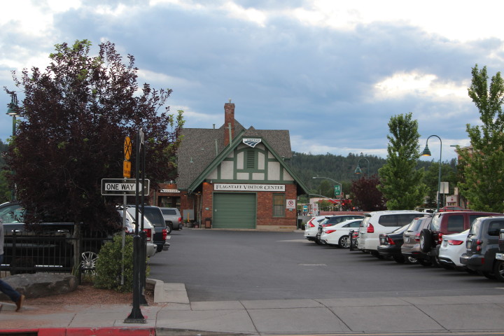
Flagstaff Railroad Depot opened in 1926. Impressive with its
Revival Tudor style, it now houses the Flagstaff Visitors
Center and an Amtrak station.
Downtown Flagstaff,
which grew up around the railroad depot, contains many
historic buildings dating from the late 1800's to early
1900's. In the 1920's, Route 66 brought travelers
through town; they stayed briefly yet contributed to the
economy. Money from tourism helped Flagstaff become an
incorporated city in 1928, and the route continues to
attract visitors.
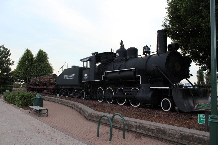
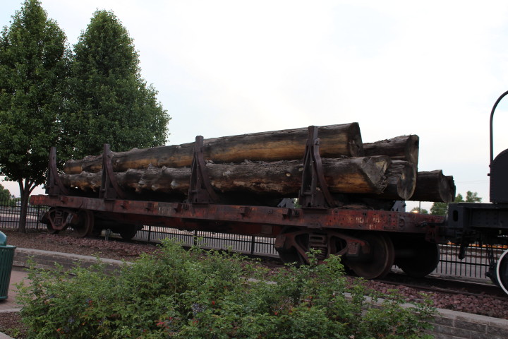
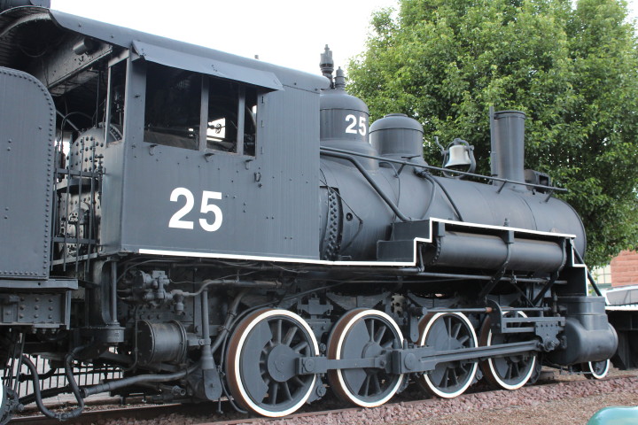
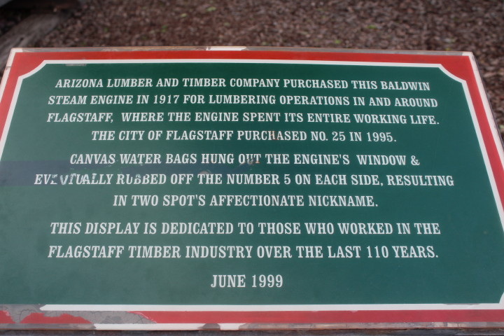
Across the street
from the Amtrak station is the Santa Fe freight house
with a Southwest Forest Industry 2-8-0 25 on
display.

Leaving the center of
Flagstaff and the robust Friday nightlife, we made our way
to the motel to rest after a long first day.
Thanks for reading.