Here at milepost 402, the line used to head towards Seligman. It
too had a number of realignments until they were totally bypassed by
the early 1960's cutoff. Trains to and from California do not
traverse
through Ash Fork. At this point, it appears that a different
milepost system is in use counting miles from Ash Fork towards Phoenix?
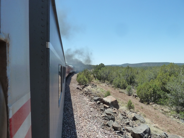
Further evidence of old abandoned
railroad right-of-way is hard to see
at times. Below left is an easy to see leg of an abandoned
wye. Below
right, the eleveated trapazoidal fill slope is easy to spot with the
old bridge abutments and piers. If you inspect modern maps, the
old railroad is absorbed into dirt roads. From this point, the
old r-o-w angles towards Interstate 40, parallels the highway and then
angles away from the highway at Crockton Road exit, i.e. old Route
66. The old railroad alignment is marked, then becomes Pineveta
Road and then diverges
at Northland Road, which was an older(?) curving alignment.
Both old lines hook into the present bypass a bit over a mile east of
the Route 66 overcrossing. Check it out! Really!
Though I have few photos showing the east side of the railroad, we are
at the western edge of the Tonto National Forest (google maps) though
google street view shows Prescott National Forest. In any case,
for a while, the east side of the railroad is a National Forest
Boundary.