So what happened to the route? During their occupation of Eritrea from 1941 to 1952, the English used the route less and less. Ultimately they cannibalized the motors and other parts for equipment in other parts of their empire.
 |

|
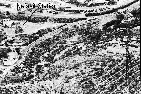
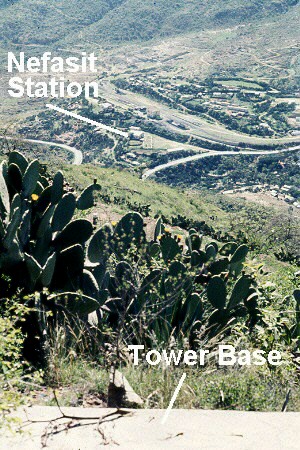
The first picture from the early 1960s shows a couple towers and the cable above Nefasit at that time. The Nefasit station is at the upper left. In 1963, after standing unused for several years, the tramway was torn down and sold for scrap. The second picture shows more or less the same scene without the tramway in 1969. The base in this picture is the base of the multiple tower above Nefasit shown in the illustration with that title earlier in this chapter. An inglorious end for a rather impressive engineering accomplishment.

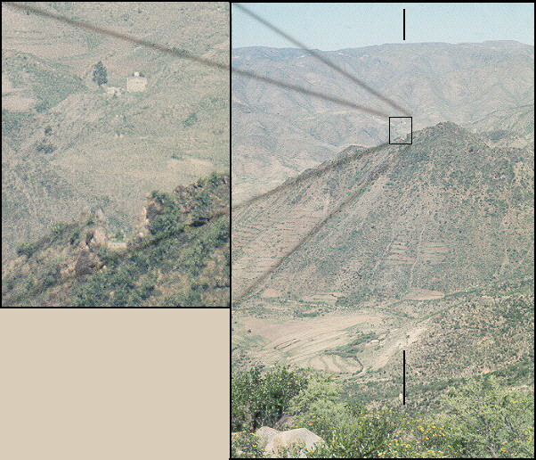
Here you can clearly see two bases, one in the cut out and one far beyond. The lines on top and bottom point out the route. Another base is just above the bottom line.
What I saw when I walked the highways and byways of Eritrea were those curious pits, cement boxes, and cuts in ridges, all luring me to discover the great story told here.
The black and white pictures (except for the 1960 one) and bulk of the resources for the content in this chapter are from a glossy publication La Teleferica Massaua-Asmara[Click here to view it.] by the general contractor, Ceretti and Tanfani S. A. of Milan, published in 1937. Some content material came from a 1952 book on Eritrean economic accomplishments, 200 Pagine sull'Eritrea, Stabilimento Tipolitografico Precotto, Asmara, 1952, pp 119-120. The color pictures are slides I took while there.
Introduction /
System Description /
What Happened /
Home page
Copyright © 2000 Mike Metras, www.WorksAndWords.com