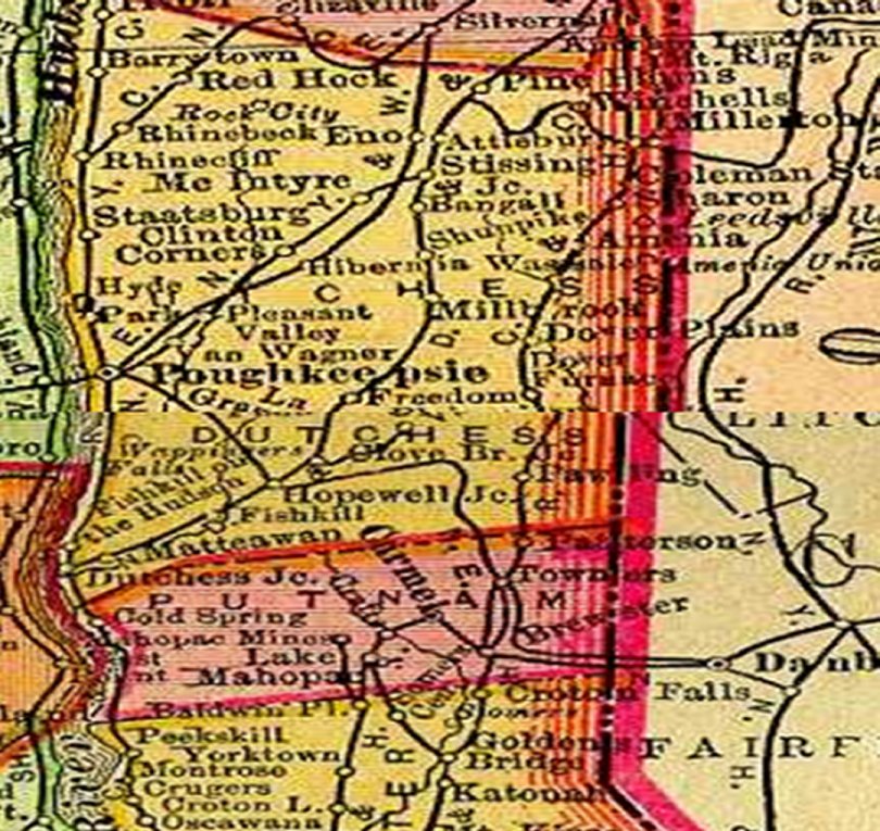
| The map to the left shows the Dutchess County lines in 1895.
The map is pieced together from two sections of a larger map that had the southern portion of
the area covered here in an inset. The map below is from a web site that discusses the History of the Western Part of New Haven |
