The Trolley Line Crossing
The following photos
are courtesy of Nick Zabawar and taken circa 1994.
Some show of a trolley line that crossed over the Canal Line in Cheshire.
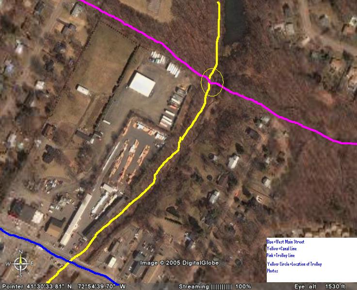
This is
an aerial photo of the area of the trolley line. It is about a quarter mile
north of the West Main Street crossing in Cheshire.
The line went East to Maple Avenue and then curved south following Route 10
to New Haven.
The line also went West to Waterbury under the MW&CR and by the Notch Store.
The right of way on the ridge is the MW&CR which crossed over Rte. 70 at
the Notch on a bridge. The trolley went under it.
(Note:
The blue line = West Main Street, the Canal Line is yellow and the Cheshire
Street Railway is in purple/pink.
The circled area is where the "monolithic
pier" and the abutments stand to this day.)
A culvert that carried the trolley line.
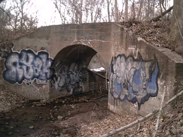
The abutments and monolithic pier in the next two photos are where the Cheshire Street Rwy crossed the Canal line.
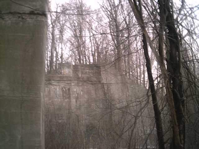
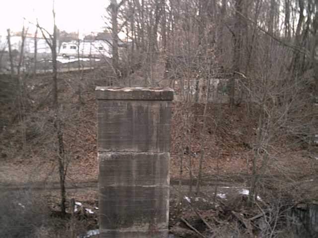
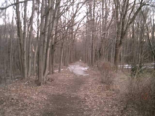
The trolley line right of way:
All photos and text on this page courtesy of Nick Zabawar,
<----Return to the Index Page.