After I visited all fifty states, I was asked by one of my students why I did not have anything to show the states. I thought about that and decided to acquire postcards. My 2001 Tourist Train Guidebook included e-mail addresses
for most states and after sending over 75 e-mails, I started to receive cards. I picked up a few more on my train trips and was then at 42, with eight more to go. E-mails to cities, and in one case, the Governor's Office of New York,
and I received all 50 in 2001. As I continued my travels, I have added to it so here is the 2003 version of the 50 State Postcard Wall.
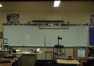
The left side starts with Arizona and goes toward the other 49. The cards above are of Washington, DC, our nation's capital.
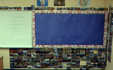
The right side ending with Wyoming on the far right. Additional state cards are seen below.
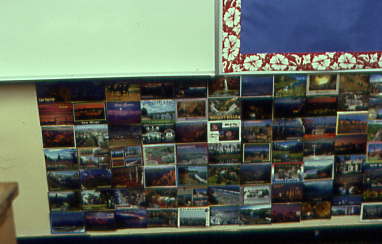
The lower left hand side.
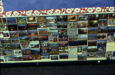
The middle lower portion.
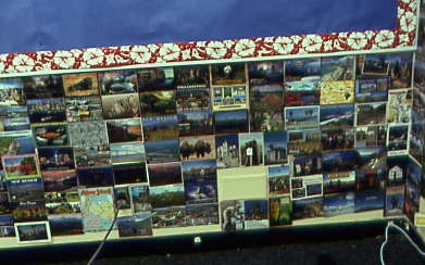
The far right-hand lower portion.
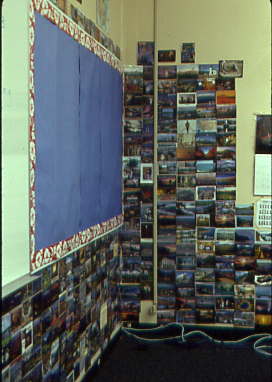
The corner that ties both areas together nicely.
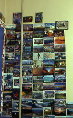
The upper portion of the west wall.
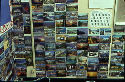
The lower portion of the west wall.
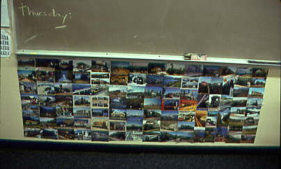
The railroad portion of the wall shows trains I have been on, or in a few cases, hope to ride some day.
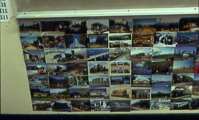
The left side of the railroad wall.
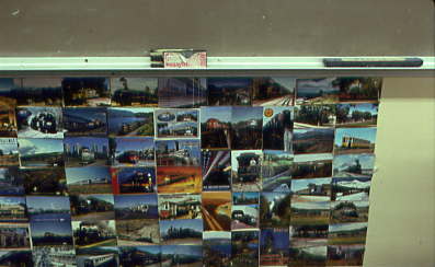
The right side of the railroad wall. I hope you enjoyed these views of the 50 State Postcard Wall in Room 29 at McFadden.