


We decided to walk this trail on February 17, 2021. Marty Smith and I walked the whole trail and more.
Southern Pacific Tustin Branch History.This branch was built to serve the citrus packing houses and local construction firms in Orange County. At one point it had two separate crossings, one at Anaheim, and one at Orange, both within about a 12-mile distance.
In the late 19th/early 20th centuries, the Pacific Electric had a line that branched from the Tustin Branch at Santa Ana and ran to Orange. This line was abandoned during the 1930s, however the northernmost segment remained in place as a "Pacific Electric orphan" for at least another 50 years, to the 1980s. It served a Sunkist packing house in Orange and connected with the SP Tustin branch at a location called "Marlboro". (As of 2003, the Anaheim crossing at CP College is also a junction where UP trains access BNSF for trackage rights to Santa Ana. The Orange crossing is now the end of the active segment of the branch, at "Marlboro" for the UP and CP "Katella" for the BNSF). A crossbuck lettered for PE was still in place in the 1980s. Pacific Electric was a subsidiary of Southern Pacific, but it was separately operated (different train crews). PE was formally merged into the Southern Pacific in 1965.
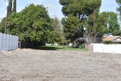
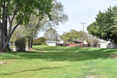
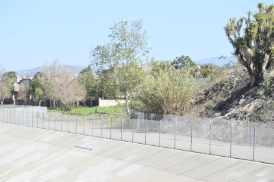
The remaining track of the Tustin Branch, up to the end of the line at Tustin, has been removed. The citrus groves were replaced with houses before the track was removed, so much of the right-of-way can still be easily located. The now-abandoned section headed east to Villa Park, then south to El Modena (whose former passenger station is south of La Veta Avenue; El Modena is now a part of Orange) and on to Tustin. The Villa Park-to-Tustin segment was abandoned in 1969 after a bridge washout at Santiago Creek. Part of the route is a maintained public path; the rest is a trail along a utility easement. The Marlboro-to-Villa Park segment was abandoned more recently; much of that section is now a plant nursery.
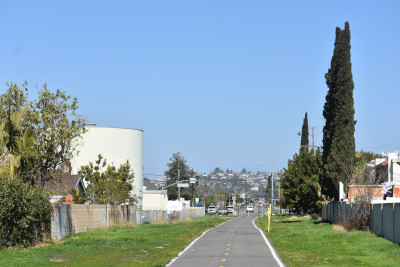
Southern Pacific Tustin Branch Trail DescriptionIf you are looking for a quick escape from the smog and traffic of Southern California, take a trip along the Tustin Branch Trail. Currently open in two disconnected segments, the trail runs on the former Tustin Branch, a Southern Pacific line used to deliver oranges from the Tustin Packing Company to markets from 1905 until the corridor washed out at Santiago Creek in 1969.
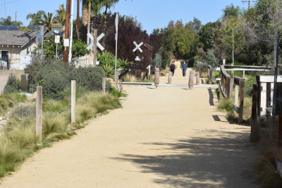
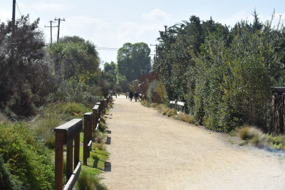
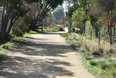
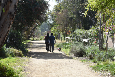
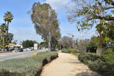
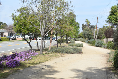
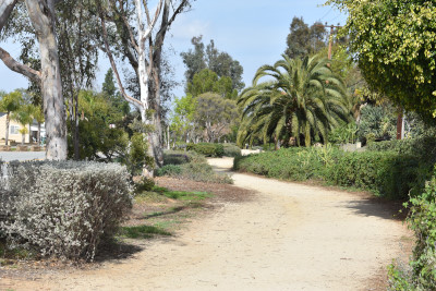
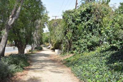
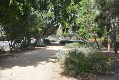
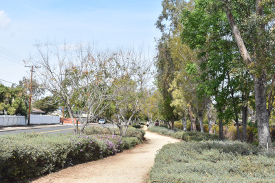
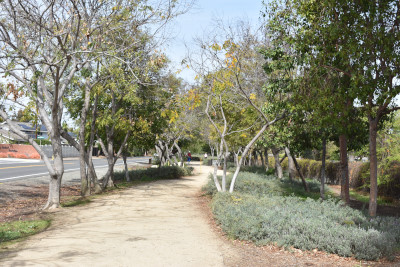
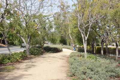
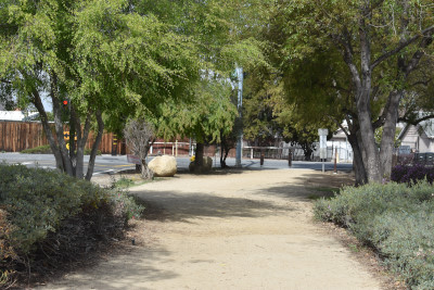
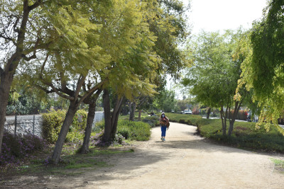
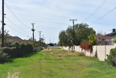
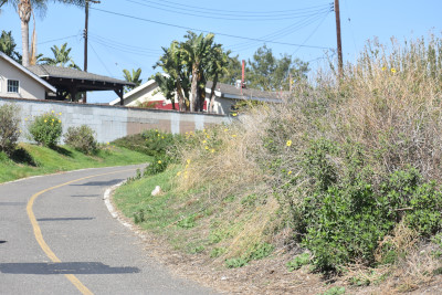
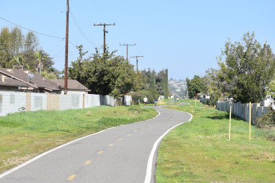
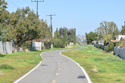
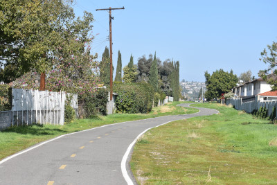
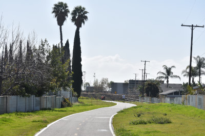
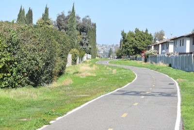
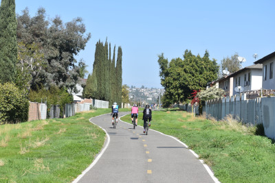
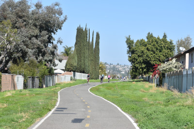
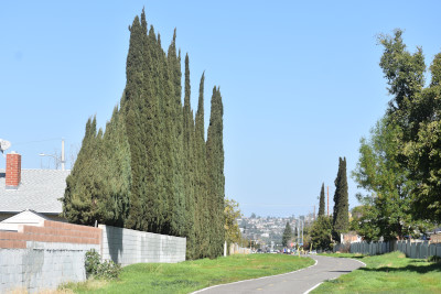
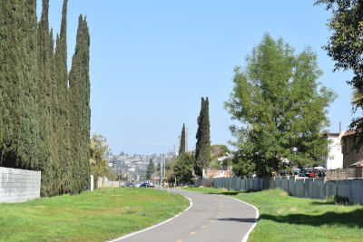
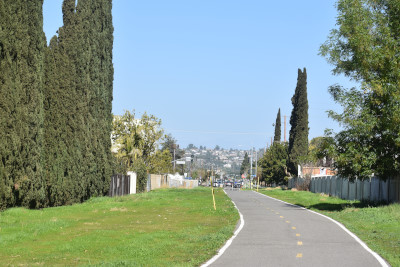
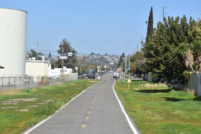
The older northern trail segment winds through quiet, palm-tree filled neighborhoods of Tustin. The path, also known as the Esplanade Trail here, occupies a wide strip of land, providing much more park space than a traditional trail. One reason not to miss this Southern California gem is the landscaping: the colorful flowers and shrubs that line the trail make for a serene experience. The hard-packed clay trail surface is comfortable for all types of trail use. You are likely to meet friendly locals out enjoying the trail.
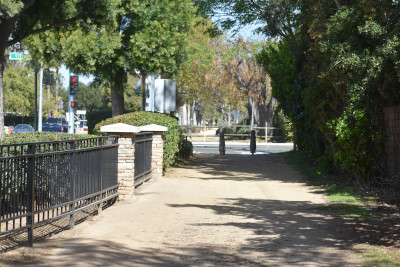
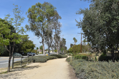
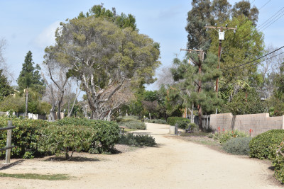
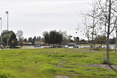
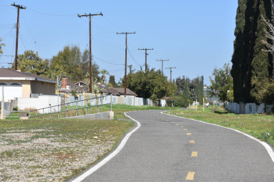
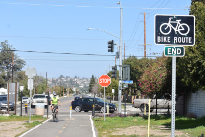
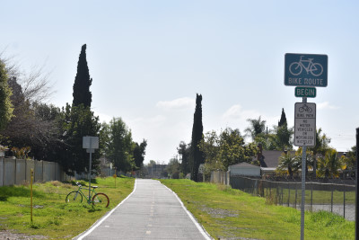
The trail parallels Esplanade Avenue for its entire route and has two busy road crossings: the first at E. 17th Street about half a mile from the start and the second at Vanderlip Avenue, about a quarter of a mile from the southern end of the trail. Just beyond Vanderlip Avenue, the trail runs past, and serves as a wonderful outdoor outlet to, urban Guin Foss Elementary School. A short distance beyond the school, the trail ends at Warren Avenue.
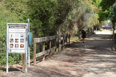
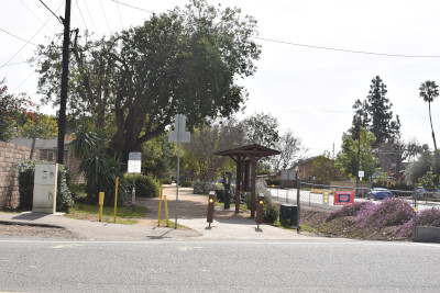
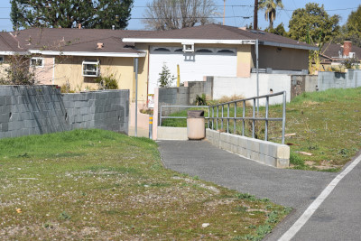
Parking for the Tustin Branch Trail is available in a public lot between the trail and Guin Foss Elementary School on Vanderlip Avenue.
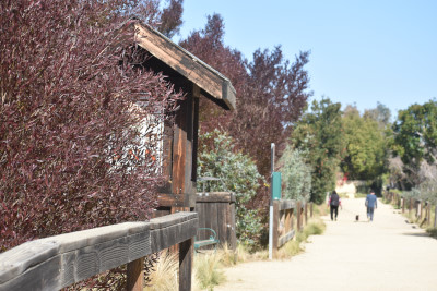
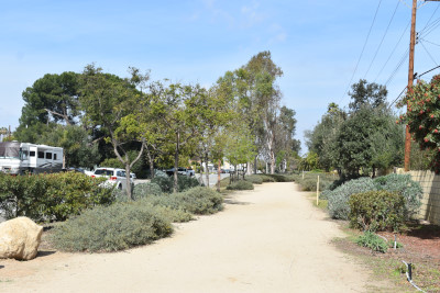
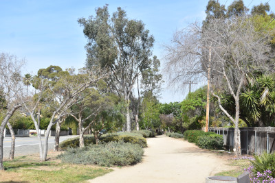
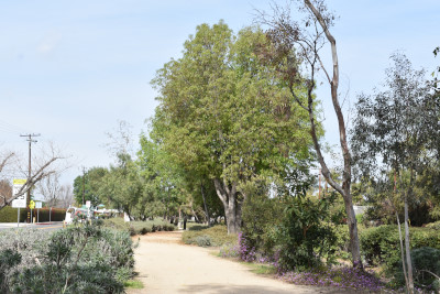
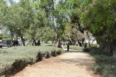
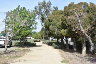
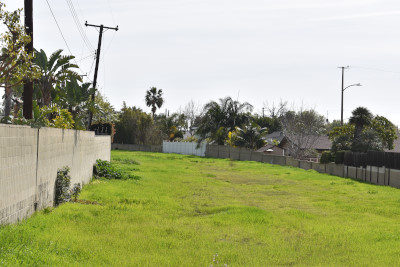
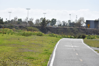
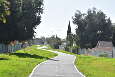
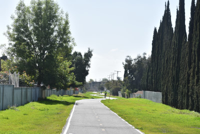
Santiago Creek Southern Pacific Tustin Branch TrailThere are numerous trees shading the trail, making it a pleasant and scenic place for a ride, run or walk. In addition, a spur heads north from the main trail near E. Walnut Avenue, ultimately paralleling N. Wanda Road to a terminus at the bike lanes on Villa Park Road in Villa Park, a small city completely surrounded by Orange. This part of the Santiago Creek Trail follows a portion of the former Tustin Branch, a Southern Pacific rail line that serviced the local orange-packing industry between 1905 and 1969.
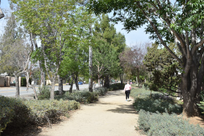
The WalkMarty Smith, Eliabeth and I walked the Southern Pacific Tustin Branch Trail in stages. We started at the south and walked to 17th Street. Here is our journey.
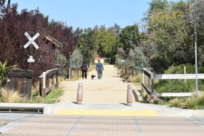
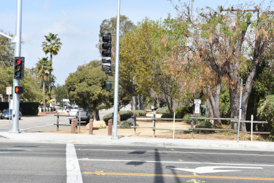
The trail starts on Warren Avenue but park at Guin Foss Elementary School on Vanderlip Avenue in the school's parking lot. Then walk south to Warren Avenue to start your walk.
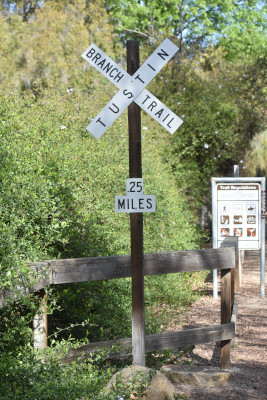
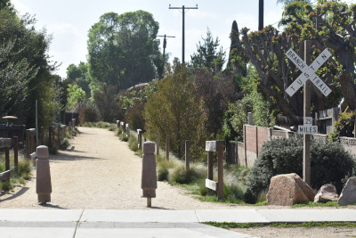
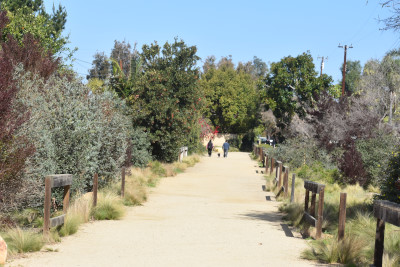
Tustin Branch Trail .25 Miles crossbuck. Now we will walk to 17th Street.
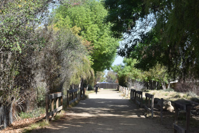
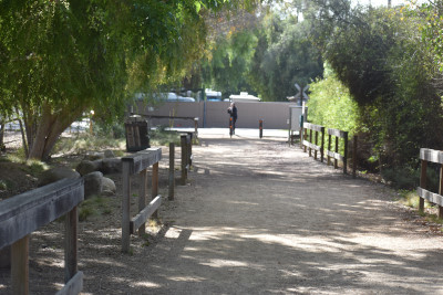
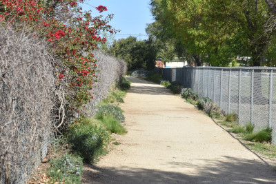
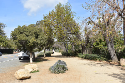
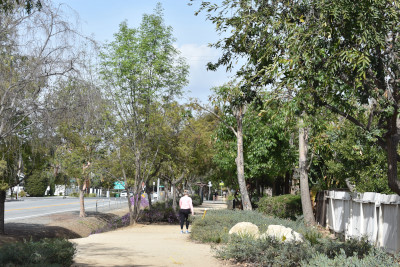
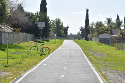
This is the trail to Vanderlip Avenue.
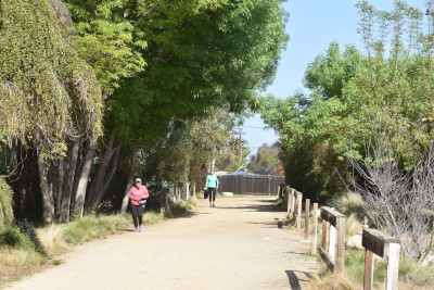
You cross Vanderlip Avenue.
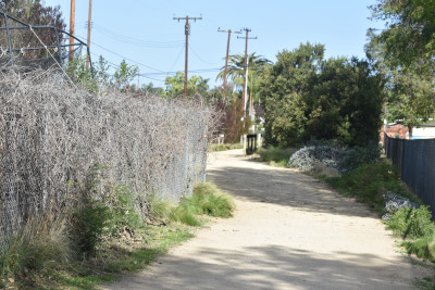
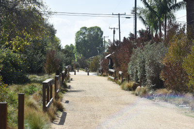
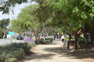
Looking back to where you have come from.
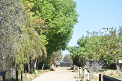
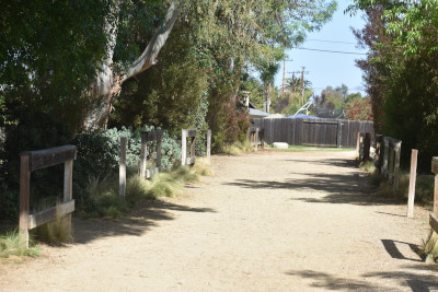
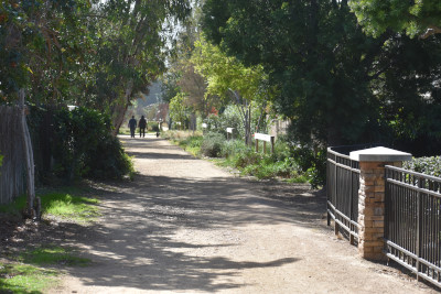
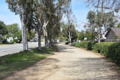
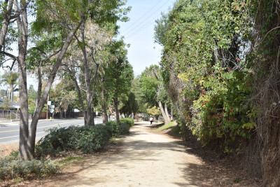
The trail ahead of you.
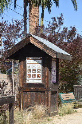
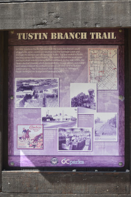
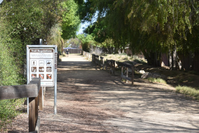
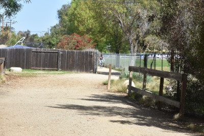
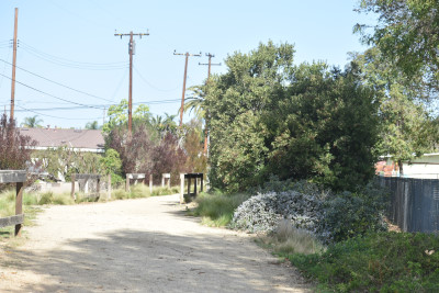
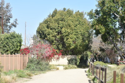
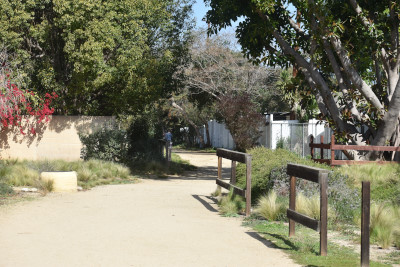
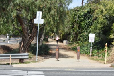
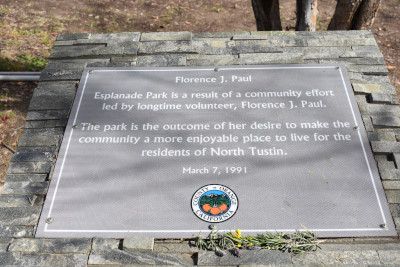
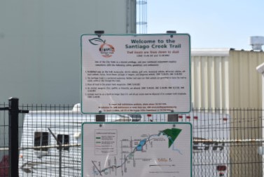
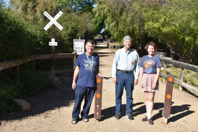
Here there is an information board about the Southern Pacific Tustin Branch. Now the walk to 17th Street.
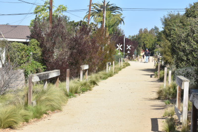
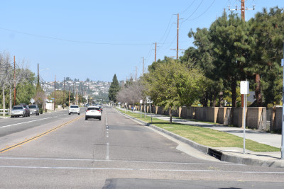
You cross 17th Street. On 2/16/2021, Marty Smith and I parked along Esplanade Avenue near Santa Clara Avenue and headed to 17th Street.
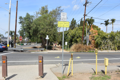
You cross Dodge Avenue.
The view looking south across Dodge Avenue.

We ended our walk at Fairhaven Avenue.
The Southern Pacific Tustin grade at Fairhaven Avue through the fence before we walked back to the car.
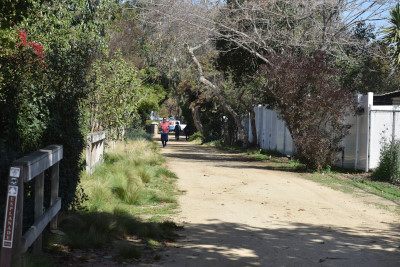
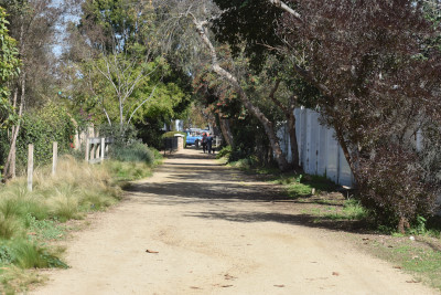
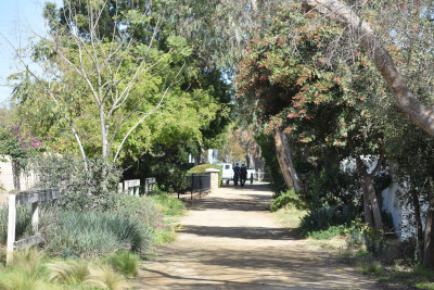
The Southern Pacific Tustin grade at East La Veta Avenue.
The Southern Pacific Tustin grade at Prospect Street.
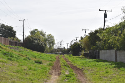
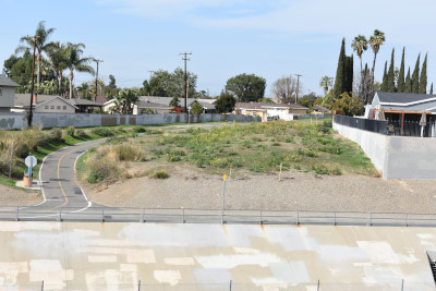
The Southern Pacific Tustin grade at Palmyra Avenue. I had checked Google Earth and found the grade at Grijalva Park in El Modena area of the City Orange.
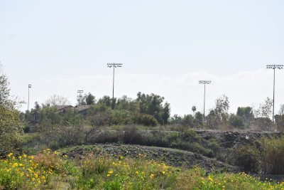
Where the Southern Pacific Tustin grade once was. Now we walked the grade to Santiago Creek.
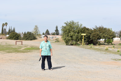
Marty Smith standing on the Southern Pacific Tustin grade west of Grijalva Park.
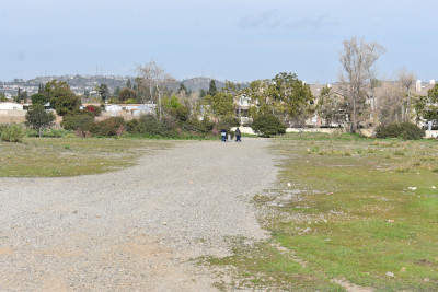
The grade to the Santiago Creek.
The grade on the other side of the creek. Here is where the bridge was destroyed by Santiago Creek in 1969. We walked back to the car and then drove to East Orange Avenue and parked.
Where we were standing across Santiago Creek.
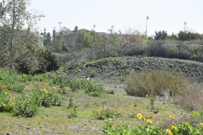
The view from the north side of Santiago Creek.
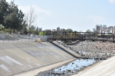
The trail bridge that runs along Santiago Creek.
The south bank of Santiago Creek.
The north bank of Santiago Creek.
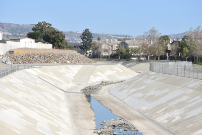
Santiago Creek that went wild in 1969.
The path takes you back to the Southern Pacific Tustin Branch.
The trail looking north.
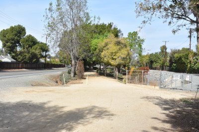
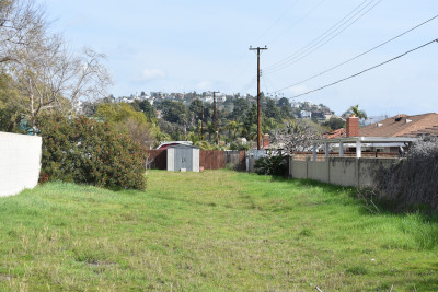
You can park on East Orange Grove Avenue to reach this part of the trail. Now we will walk to end of the trail at East Collins Avenue.
You have reached the north end of Collins Avenue. The tracks once ran on the shoulder of Wanda but the tracks were under the right two lanes.
Now we returned to our car.
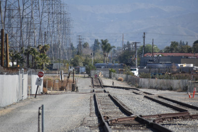
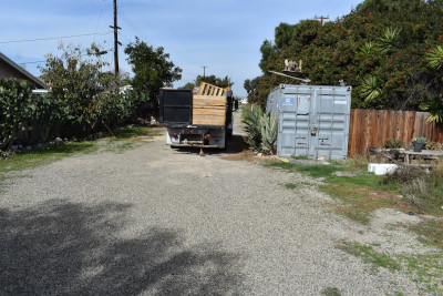
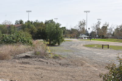
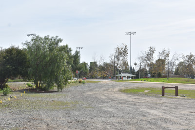
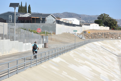
We drove to Batavia Street where you can see the present end of the current Union Pacific Tustin Branch.
On February 21, 2021, we picked up Greg Smith and Elizabeth and would walk the entire Tustin Branch Trail plus more.
The walking group, Elizabeth and Greg Smith, along with Marty. The two set off walking and we drove to the Guin Foss Elementary School on Vanderlip Avenue and parked.
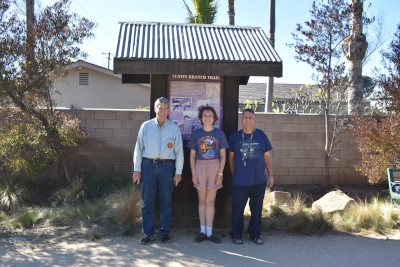
Elizabeth with Greg and Marty at the Southern Pacific Trail information board. Marty and I drove over to Esplande Avenue and parked near Prentice School. We started walking south and at Dodge Aveue, we found our party. We all walked to the north end at Fairhaven Avenue. We then drove to Grijalva Park and dropped off Elizabeth and Greg so they could get the next missing park. They would meet us at Orange Grove Avenue. We pulled up and walked to the trail and they were already there.
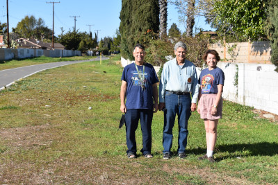
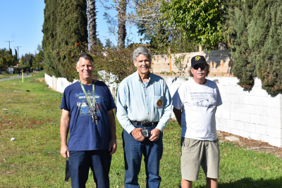
Marty and Greg Smith with Elizabeth.
Marty, Greg and Chris have all completed the Southern Pacific Trail.
| Click here for the next part of the story! |