


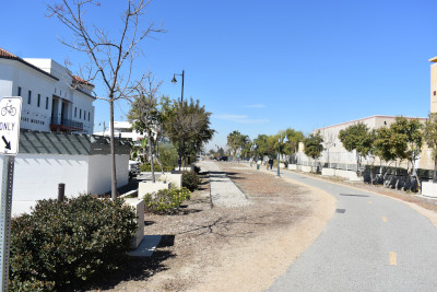
We next decided to walk the Bellfower Pacific Electric Trail on Friday 2/19/2021 we picked up Marty Smith and Elizabeth drove us to the parking lot near the Bellflower Pacific Electric Station.
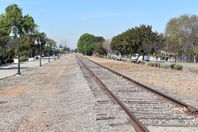
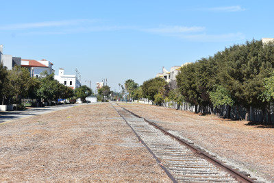
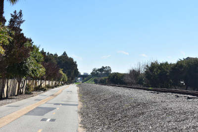
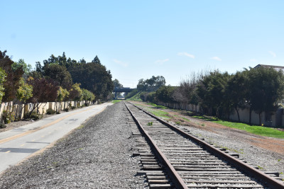
Pacific Electric Bellflower TrailThe Bellflower Bike Trail runs for more than 2 miles on the right-of-way of the old Pacific Electric transit system—also known as the Red Cars—across Bellflower. At its zenith in the 1920s, Pacific Electric was the largest electric railway system in the world, operating over a thousand miles of interurban track in Southern California, including this line between Los Angeles and Santa Ana. The trail begins at a bridge connection with the popular San Gabriel River Trail at Ruth R. Caruthers Park on the banks of the San Gabriel River. Skirting the edge of the park, the trail ultimately joins the former rail corridor at the southern end of Ripon Avenue and heads northwest to its terminus on Somerset Boulevard, just beyond the Bellflower–Paramount city line.
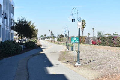
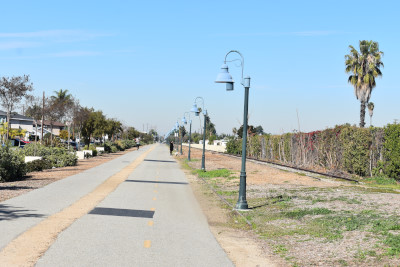
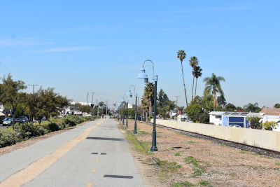
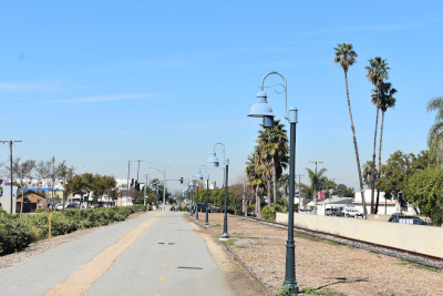
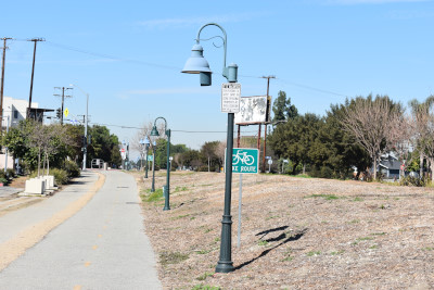
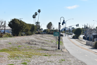
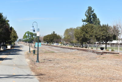
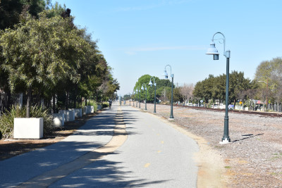
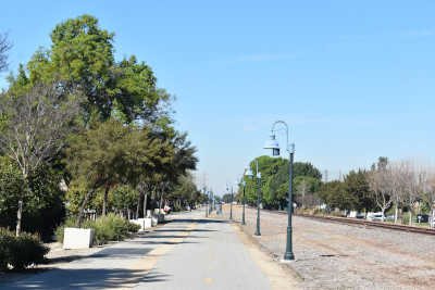
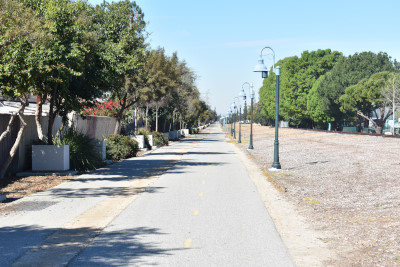
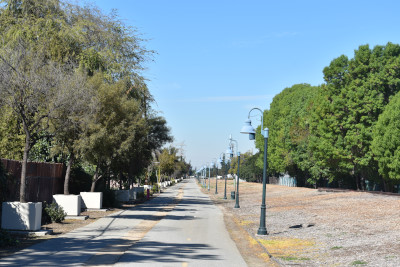
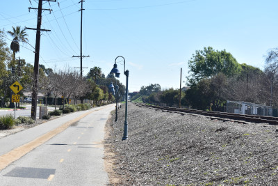
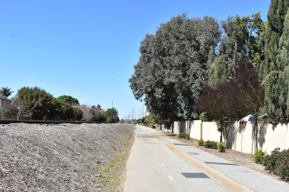
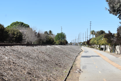
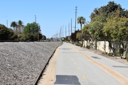
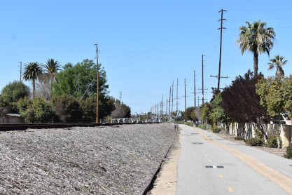
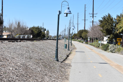
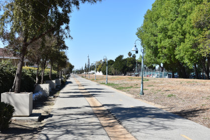
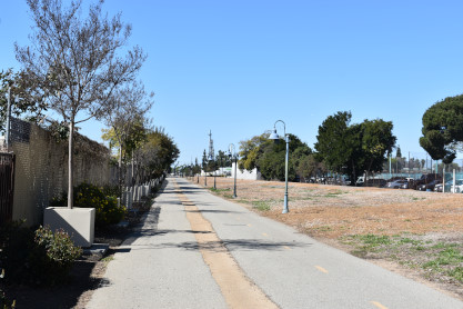
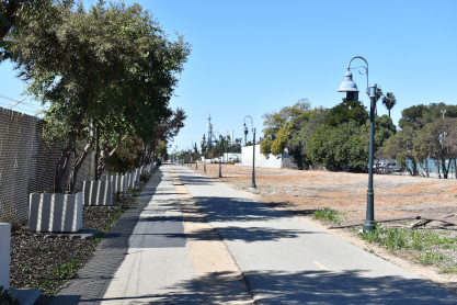
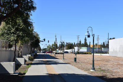
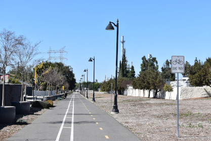
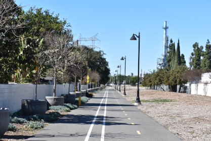
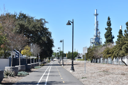
Most of the trail consists of striped bike lanes and a skinnier pedestrian path separated by a small strip of decomposed granite. The street crossings are at-grade near the corridor, but the required maneuvers are signed well. Along the trail's length, attractive street lights allow for use after dark, while local flora beautifies the corridor.
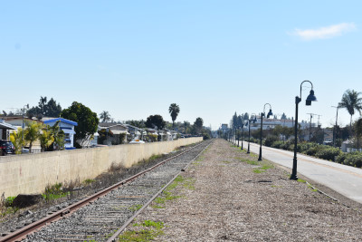
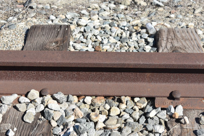
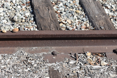
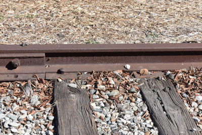
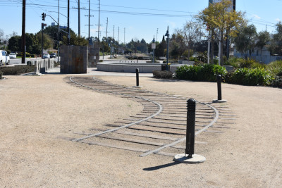
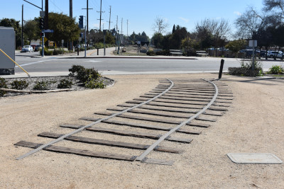
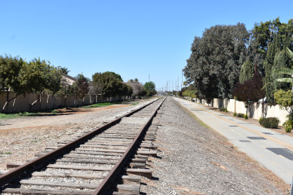
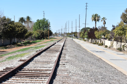
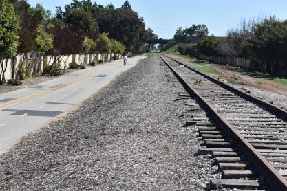
The Pacific Electric Train Depot on Bellflower Boulevard—restored to its original state in 2008—is a must-see period piece, and restrooms are even available in the baggage shed. Rail remnants along the trail's route provide additional reminders of the area's unique transportation history.
Parking and Trail AccessParking for the Bellflower Bike Trail is available adjacent to the trail (near the restored train depot) in a city lot on Oak Street. Parking is free, but there is a 2-hour limit.
Pacific Electric Santa Ana Line HistoryThe West Santa Ana Branch is a rail right-of-way formerly used by the Pacific Electric's (PE) Santa Ana route in Los Angeles County and Orange County in Southern California. The Los Angeles County Metropolitan Transportation Authority (Metro) owns the segment of the right-of-way in Los Angeles County, and the Orange County Transportation Authority (OCTA) owns the segment in Orange County.
The line runs from the Watts Towers in the city of Los Angeles, southeast to the intersection of 4th Street and Santa Ana Boulevard in downtown Santa Ana. A two-mile portion of it is occupied by Interstate 105 and the C Line. The right-of-way runs nearly straight on a diagonal between the two cities, in contrast to the cardinal grid of Orange County.
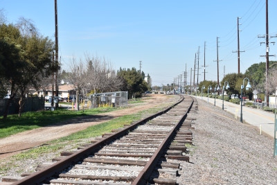
The right-of-way was established as an interurban route for the Pacific Electric Railway. Service commenced in 1905. The line was double-tracked for its length except for single track bridges. The route was reduced to a single track in 1941. Service was truncated to Bellflower in 1950, and finally discontinued in 1958. Southern Pacific continued to use the line for freight. A Caltrans survey in 1981 reported that the line had been reduced to a single track railway, which had several level crossings removed and was in poor condition. The 12.5-mile section in Orange County between Paramount and Stanton was acquired by the Southern California Regional Rail Authority in 1990 as part of the $450 million package deal with Southern Pacific (equivalent to $881 million in 2019). The Century Freeway and the Green Line were constructed along a segment in Lynwood, opening in 1993 and 1995 respectively.
OC StreetcarAs of 2016, the Orange County Transportation Authority (OCTA) is collaborating with the cities of Santa Ana and Garden Grove to build a streetcar line. The western terminus of the proposed route would follow the Pacific Electric right-of-way near the intersection of Harbor Boulevard and Westminster Avenue in Garden Grove.
The WalkWe picked up Marty Smith then Elizabeth drove us to Bellflower where we parked and walked over to the trail.
Elizabeth and Marty Smith.
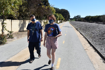
Chris and Marty. We crossed Bellflowr Boulevard.
We crossed Alondra Boulevard.
Then walked across Clark Avenue
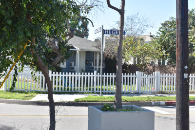
We walked to Hagel Street and Virgina Avenue.
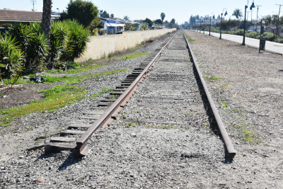
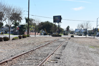
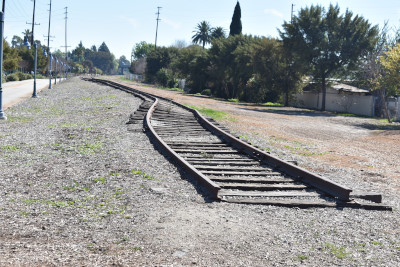
The end of track at Hagel Street and Virgina Avenue. Now we reversed back to the Pacific Electric Bellflower station .
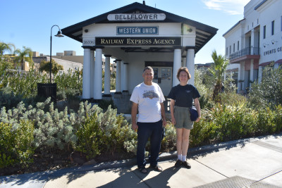
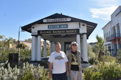
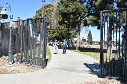
On the way back to the station building.
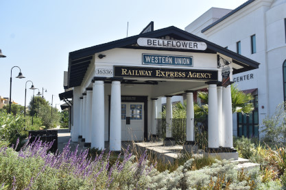
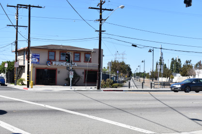
The Pacific Electric Bellflower station built in 1927 to replace the original 1905 waiting shelter. Now we would walk southeast down the trail.
You cross Flower Street.
Then one comes to Woodruff Avenue.
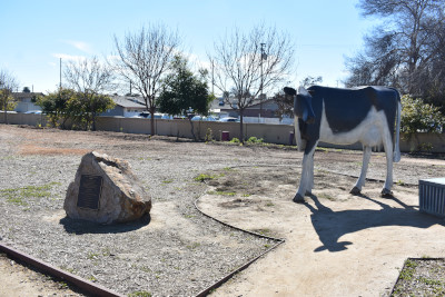
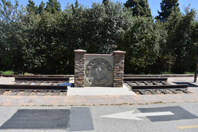
There is a fake diary cow here.
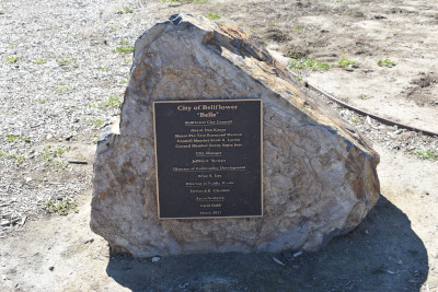
City of Bellflower plaque.
We walked southeast to Flora Vista Street, which curves off from running along the trail, then started back to the car.
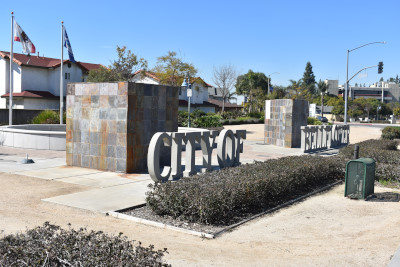
City of Bellflower concrete sign at Woodruff and Flower Street. We walked to the car and went home.
2/21/2021 Sunday morning with Metrolink's trackwork schedule, we took Train 857 to Laguna Niguel then Metrolink 661 to Los Angeles, 662 back to Orange and met Marty Smith, then drover to Bellflower to finish the trail.
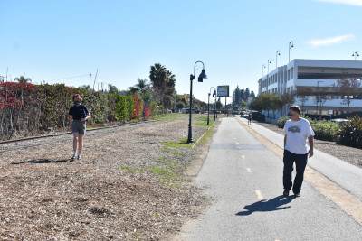
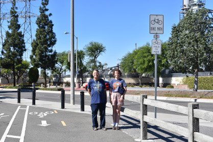
Marty and Elizabeth making their way onto the southeast end of the trail. Now we will walk to where we walked to on Friday.
Elizabeth and Marty strolling along.
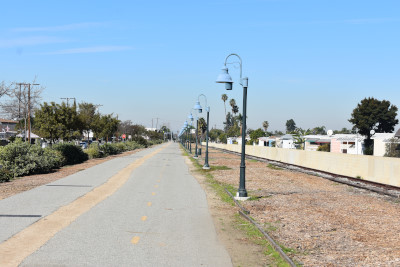
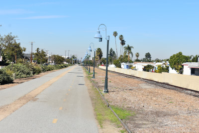
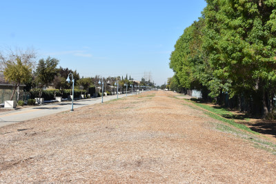
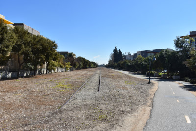
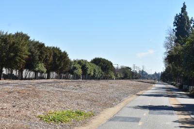
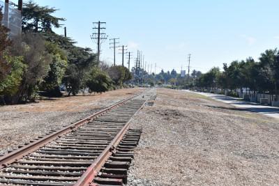
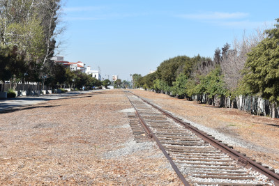
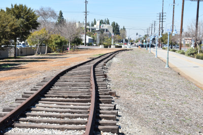
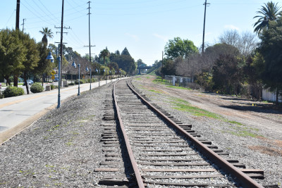
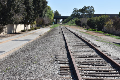
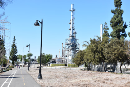
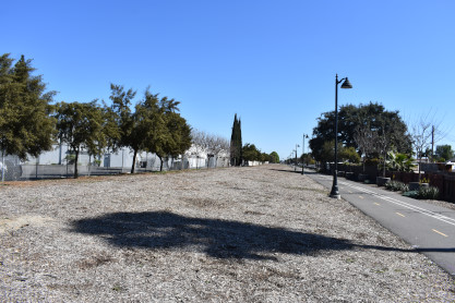
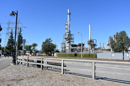
More views along the trail.
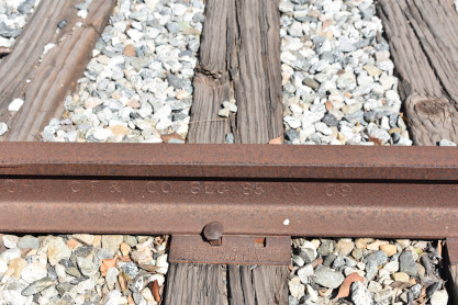
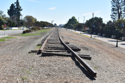
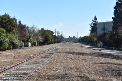
The piece of rail near the southeast end.
We finished this part of the route then returned to the car and drove to Hegel and Viginia Street where we finished the northwest trail.
We crossed Lakewood Boulevard.
Marty and Elizabeth.
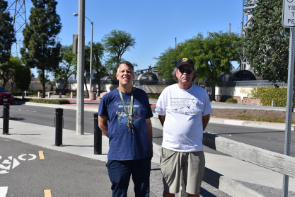
Chris and Marty.
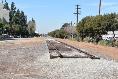
The trail from the northwest end.
The trail ends at Somerset Boulevard in Paramount. We returned to the car and then went to The Habit for lunch.
| Click here for Part 2 of this story. |