


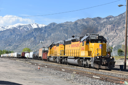
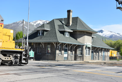
Robin Bowers and I departed Lagoon Park and drove north on Interstate 15 to Corinne where we spotted something.
The Union Pacific Corinne station. From here we drove the miles into Golden Spike National Historic Site.
Promontory Summit HistoryPromontory Summit is an area of high ground in Box Elder County, Utah, 32 miles west of Brigham City and 66 miles northwest of Salt Lake City. Rising to an elevation of 4,902 feet above sea level, it lies to the north of the Promontory Mountains and the Great Salt Lake. It is notable as the location of Promontory Summit, where the First Transcontinental Railroad in the United States was officially completed on May 10, 1869.
By the summer of 1868, the Central Pacific had completed the first rail route through the Sierra Nevada mountains, and was now moving down towards the Interior Plains and the Union Pacific line. More than 4,000 workers, of whom two thirds were Chinese, had laid more than 100 miles of track at altitudes above 7,000 ft. In May 1869, the railheads of the Union Pacific and the Central Pacific railroads finally met at Promontory Summit, Utah Territory. A specially-chosen Chinese and Irish crew had taken only 12 hours to lay the final 10 miles of track in time for the ceremony.
The Golden Spike HistoryThe golden spike (also known as The Last Spike) is the ceremonial 17.6-karat gold final spike driven by Leland Stanford to join the rails of the First Transcontinental Railroad across the United States connecting the Central Pacific and Union Pacific railroads on May 10, 1869, at Promontory Summit, Utah Territory. The term last spike has been used to refer to one driven at the usually ceremonial completion of any new railroad construction projects, particularly those in which construction is undertaken from two disparate origins towards a meeting point. The spike is now displayed in the Cantor Arts Center at Stanford University.
Completing the last link in the transcontinental railroad with a spike of gold was the brainchild of David Hewes, a San Francisco financier and contractor. The spike had been manufactured earlier that year especially for the event by the William T. Garratt Foundry in San Francisco. Two of the sides were engraved with the names of the railroad officers and directors. A special tie of polished California laurel was chosen to complete the line where the spike would be driven. The ceremony was originally to be held on May 8, 1869 (the date actually engraved on the spike), but it was postponed two days because of bad weather and a labor dispute that delayed the arrival of the Union Pacific side of the rail line.
On May 10, in anticipation of the ceremony, Union Pacific No. 119 and Central Pacific No. 60 (better known as the Jupiter) locomotives were drawn up face-to-face on Promontory Summit. It is unknown how many people attended the event; estimates run from as low as 500 to as many as 3,000; government and railroad officials and track workers were present to witness the event. Before the last spike was driven, three other commemorative spikes, presented on behalf of the other three members of the Central Pacific's Big Four who did not attend the ceremony, had been driven in the pre-bored laurel tie: a second, lower-quality gold spike, supplied by the San Francisco News Letter was made of $200 worth of gold and inscribed: With this spike the San Francisco News Letter offers its homage to the great work which has joined the Atlantic and Pacific Oceans. A silver spike, supplied by the State of Nevada; forged, rather than cast, of 25 troy ounces of unpolished silver. A blended iron, silver and gold spike, supplied by the Arizona Territory, engraved: Ribbed with iron clad in silver and crowned with gold Arizona presents her offering to the enterprise that has banded a continent and dictated a pathway to commerce. This spike was given to Union Pacific President Oliver Ames following the ceremony. It is on display at the Union Pacific Railroad Museum in Council Bluffs, Iowa.
The golden spike was made of 17.6 karat (73 perecent) copper-alloyed gold, and weighed 14.03 troy ounces. It was dropped into a pre-drilled hole in the laurel ceremonial last tie, and gently tapped into place with a silver ceremonial spike maul. The spike was engraved on all four sides: The Pacific Railroad ground broken January 8, 1863, and completed May 8, 1869.
"May God continue the unity of our Country, as this Railroad unites the two great Oceans of the world".
A second golden spike, exactly like the one from the ceremony, was cast and engraved at the same time. It was held, unknown to the public, by the Hewes family until 2005. This second spike is now on permanent display, along with Thomas Hill's famous painting The Last Spike, at the California State Railroad Museum in Sacramento.
With the locomotives drawn so near, the crowd pressed so closely around Stanford and the other railroad officials that the ceremony became somewhat disorganized, leading to varying accounts of the actual events. Contrary to the myth that the Central Pacific's Chinese laborers were specifically excluded from the festivities, A.J. Russell stereoview No. 539 shows the "Chinese at Laying Last Rail UPRR". Eight Chinese laid the last rail, and three of these men, Ging Cui, Wong Fook, and Lee Shao, lived long enough to also participate in the 50th anniversary parade. At the conclusion of the ceremony, the Chinese participating were honored and cheered by the CPRR officials and that road's construction chief, J.H Strobridge, at a dinner in his private car.
To drive the final spike, Stanford lifted a silver spike maul and drove the spike into the tie, completing the line. Stanford and Hewes missed the spike, but the single word "done" was nevertheless flashed by telegraph around the country. In the United States, the event has come to be considered one of the first nationwide media events. The locomotives were moved forward until their "cowcatchers" met, and photographs were taken. Immediately afterwards, the golden spike and the laurel tie were removed, lest they be stolen, and replaced with a regular iron spike and normal tie. At exactly 12:47 pm, the last iron spike was driven, finally completing the line.
After the ceremony, the Golden Spike was donated to the Stanford Museum (now Cantor Arts Center) in 1898. The last laurel tie was destroyed in the fires caused by the 1906 San Francisco earthquake.
AftermathAlthough the Promontory event marked the completion of the transcontinental railroad line, it did not actually mark the completion of a seamless coast-to-coast rail network: neither Sacramento nor Omaha was a seaport, nor did they have rail connections until after they were designated as the termini. The Mossdale Bridge, which was the final section across the San Joaquin River near Lathrop, California, was finally completed in September 1869 connecting Sacramento in California. Passengers were required to cross the Missouri River between Council Bluffs, Iowa, and Omaha, Nebraska, by boat until the building of the Union Pacific Missouri River Bridge in 1872. In the meantime, a coast-to-coast rail link was achieved in August 1870 in Strasburg, Colorado, by the completion of the Denver extension of the Kansas Pacific Railway. In 1904 a new railroad route called the Lucin Cutoff was built by-passing the Promontory location to the south. By going west across the Great Salt Lake from Ogden, Utah, to Lucin, Utah, the new railroad line shortened the distance by 43 miles and avoided curves and grades. Main line trains no longer passed over Promontory Summit.
In 1942, the old rails over Promontory Summit were salvaged for the war effort; the event was marked by a ceremonial "undriving" of the last iron spike. The original event had been all but forgotten except by local residents, who erected a commemorative marker in 1943. The following year a commemorative postage stamp was issued to mark the 75th anniversary. The years after the war saw a revival of interest in the event; the first re-enactment was staged in 1948. In 1957, Congress established the Golden Spike National Historic Site to preserve the area around Promontory Summit as closely as possible to its appearance in 1869. O'Connor Engineering Laboratories in Costa Mesa, California, designed and built working replicas of the locomotives present at the original ceremony for the Park Service. These engines are drawn up face-to-face each Saturday during the summer for a re-enactment of the event.
For the May 10, 1969, centennial of the driving of the last spike, the High Iron Company ran a steam-powered excursion train round trip from New York City to Promontory. The Golden Spike Centennial Limited transported over 100 passengers including, for the last leg into Salt Lake City, actor John Wayne. The Union Pacific Railroad also sent a special display train and the US Army Transportation Corp sent a steam-powered three-car special from Fort Eustis, Virginia. On May 10, 2006, on the anniversary of the driving of the spike, Utah announced that its state quarter design would be a depiction of the driving of the spike. The Golden Spike design was selected as the winner from among several others by Utah's governor, Jon Huntsman, Jr., following a period during which Utah residents voted and commented on their favorite of three finalists.
Our visitWe pulled off the park road at the Big Fill trail and decided to hike to the Big Fill.
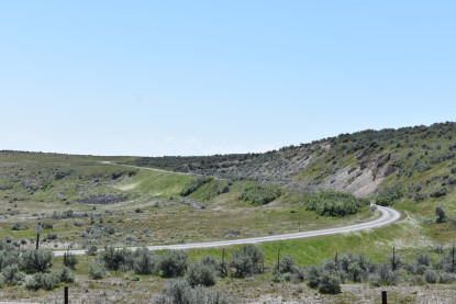
Across the highway were both grades, the Central Pacific used by the Southern Pacific until the Lucin Cutoff was built, and the Union Pacific below which was used for six months after May 10, 1869.
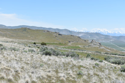
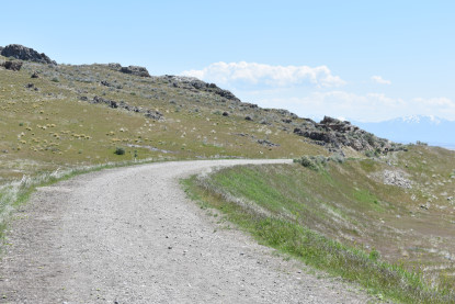
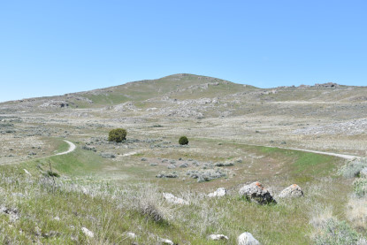
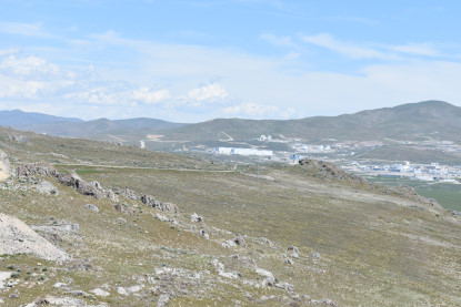
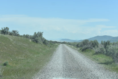
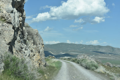
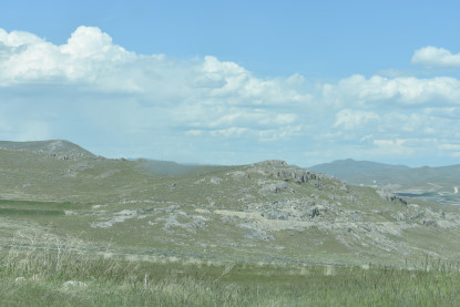
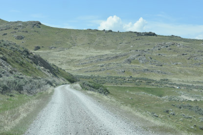
A view of where we are going.
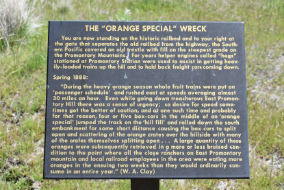
The "Orange Special" wreck history board.
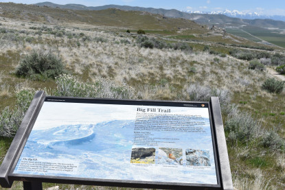
The Big Fill Trail information board.
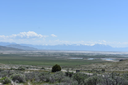
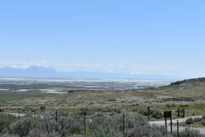
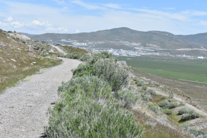
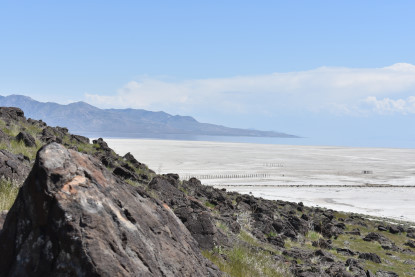
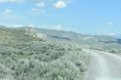
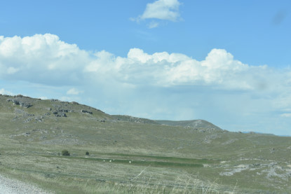
The views where the trail starts.
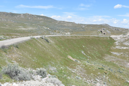
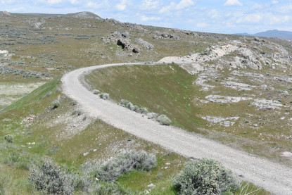
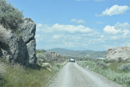
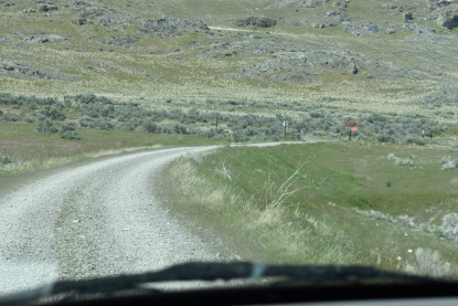
The Central Pacific grade is a automobile route which we will take when we return later today.
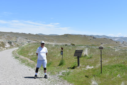
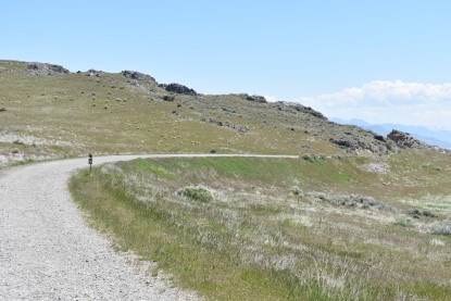
Robin at the start of our hike.
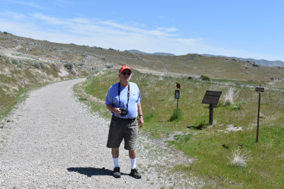
Me at the start of our hike.
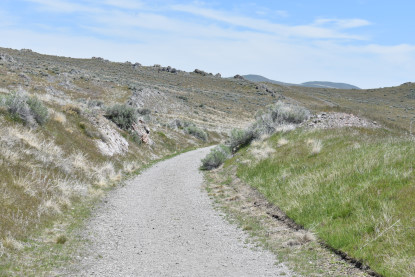
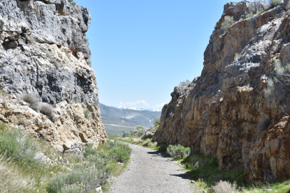
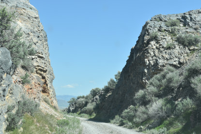
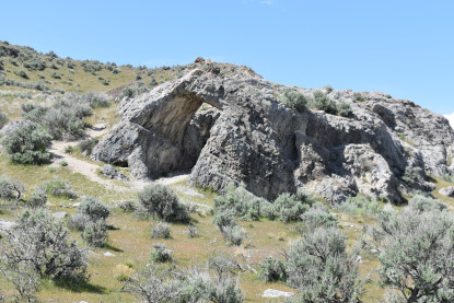
We started by going through a low cut.
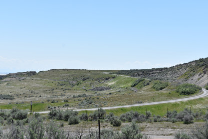
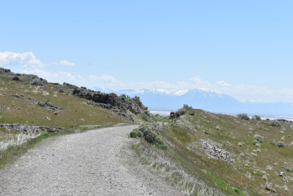
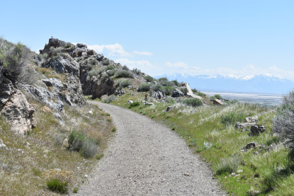
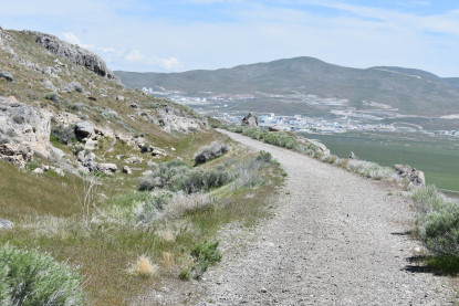
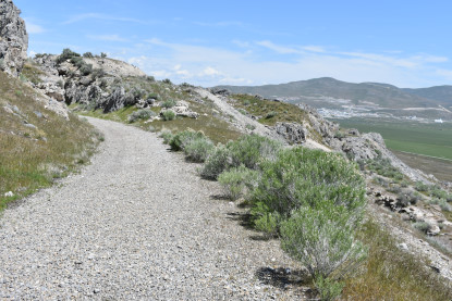
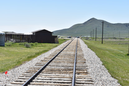
Next we walked the trail.
We are first heading to the cut in the hill.
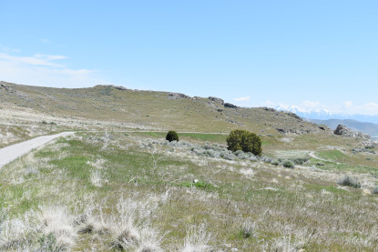
The Union Pacific grade is below us.
Taking a curve on the grade.
The Union Pacific cut on their grade.
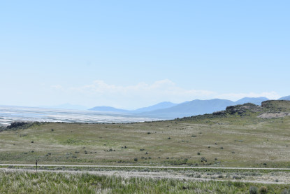
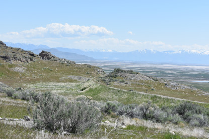
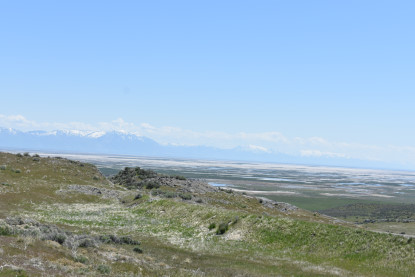
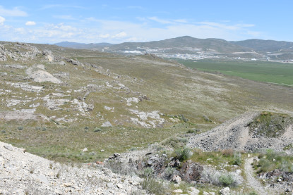
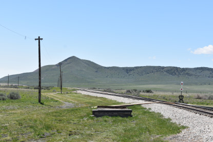
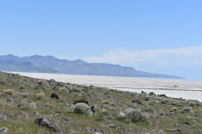
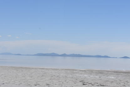
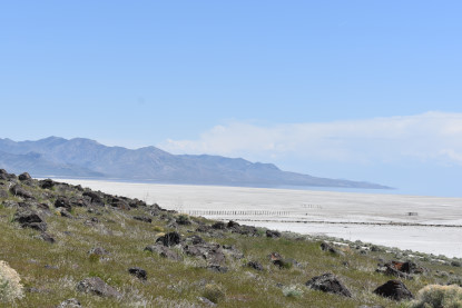
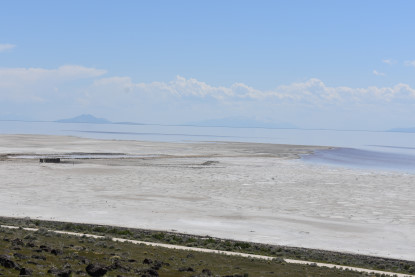
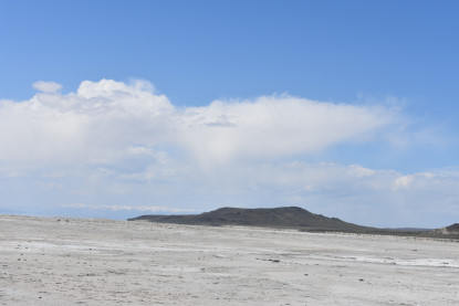
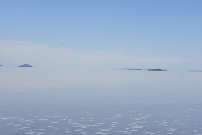
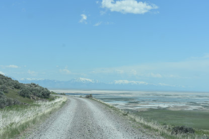
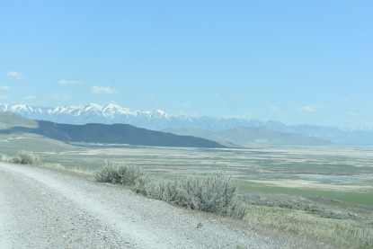
A look at Promontory Point.
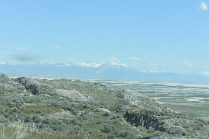
The Union Pacific cut with the Wasatch Mountains behind.
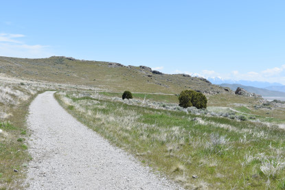
Closing in on our first deep cut.
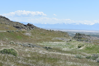
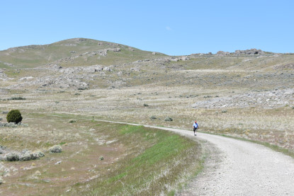
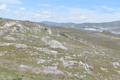
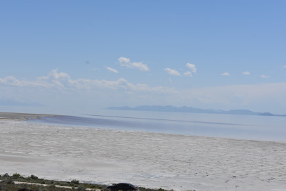
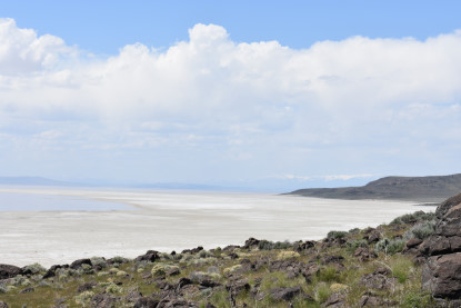
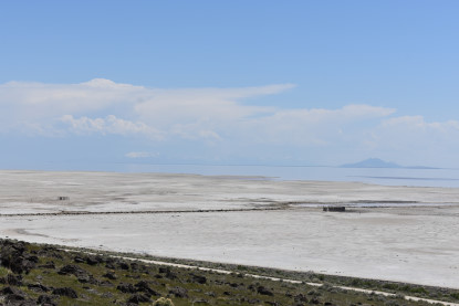
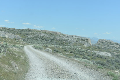
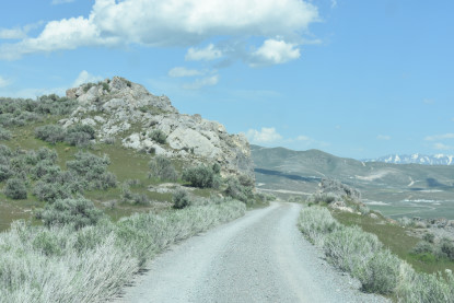
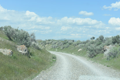
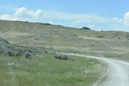
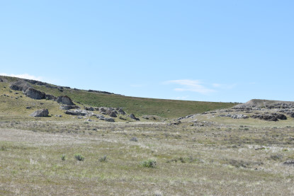
Beautiful views abound on this hike to to the Big Fill.
Robin enjoying his hike behind me.
A look down at a Union Pacific fill.
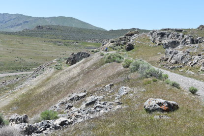
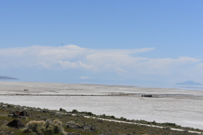
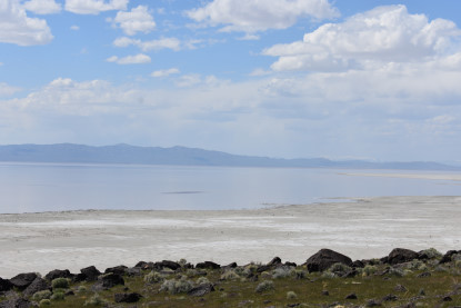
Both grades looking back.

We made it through the first cut.
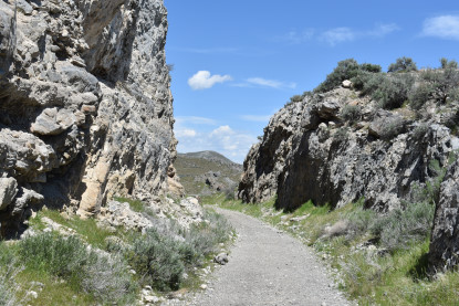
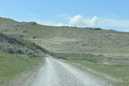
Our hike takes us to a deeper cut.
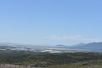
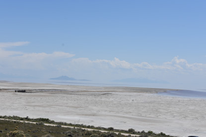
Another look at Promontory Point.
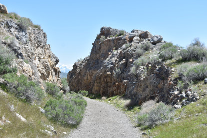
Passing through the deeper cut carved out by the Chinese.
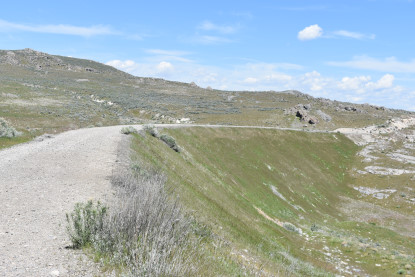
We headed next out onto a little fill.
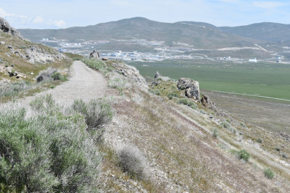
The Union Pacific grade is right below our grade here.
Robin following behind me.
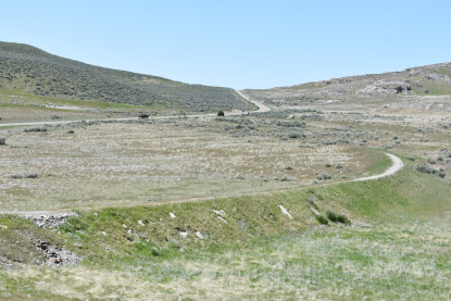
Both grades in this view.
Coming to the next cut before our destination the Big Fill.
I walked through this cut.
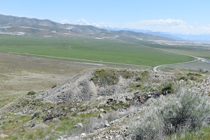
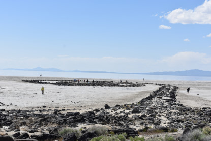
Then came to the western end of the Big Fill.
The cut shows were the Union Pacific trestle was for just six months.
The western end of the Union Pacific fill.
There was a trestle here for just six months built by the Union Pacific.
The Central Pacific Big Fill.
The next cut down the hill on the Central Pacific grade later used by the Southern Pacific.
The Central Pacific Big Fill.
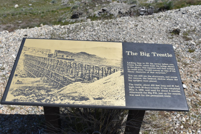
The Union Pacific trestle display board here at the Big Fill.
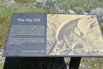
The Big Fill displayboard here.
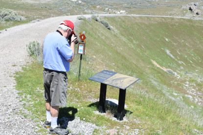
Robin taking a picture of the display board. We returned to the car then drove the rest of the way to Promontory Summit and parked in the Visitor Center parking lot, walking directly over to the engines which were outside on the main line.
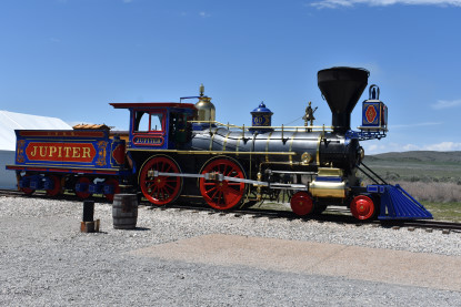
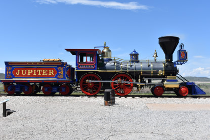
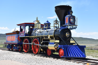
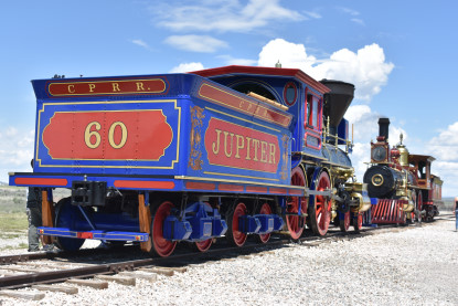
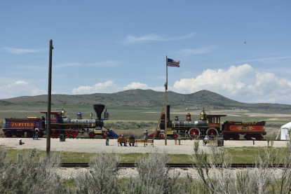
Central Pacific 4-4-0 60 Jupiter.
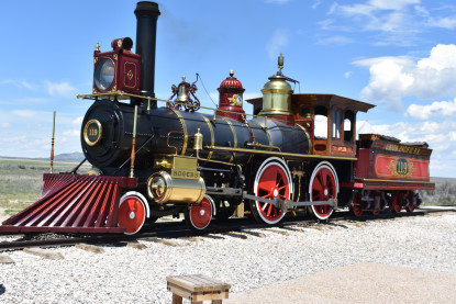
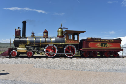
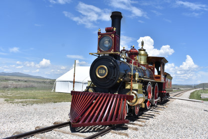
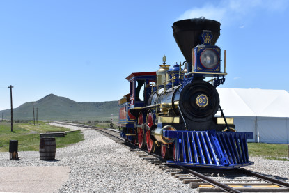
Union Pacific 4-4-0 119.
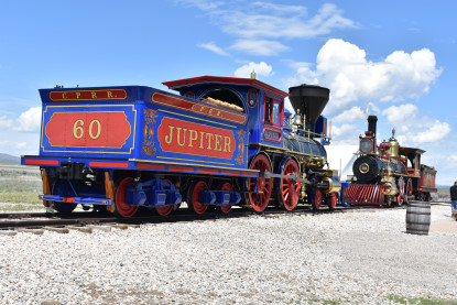

Nose to Nose with the engines here.
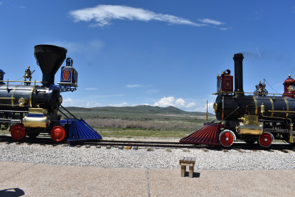
In the same position as they were on May 10, 1869.

This special tie.
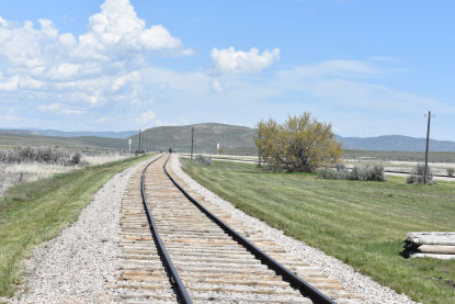
Looking east down the tracks.
Looking west down the tracks.
Looking west down the mainline.
Looking east.

My last picture from Promontory Summit. We left and would now drive out to the Spiral Jetty.
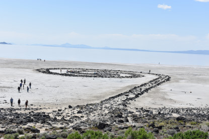
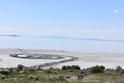
Spiral Jetty HistorySpiral Jetty is an earthwork sculpture constructed in April 1970 that is considered to be the most important work of American sculptor Robert Smithson. Smithson documented the construction of the sculpture in a 32-minute color film also titled Spiral Jetty.
Built on the northeastern shore of the Great Salt Lake near Rozel Point in Utah entirely of mud, salt crystals and basalt rocks, Spiral Jetty forms a 1,500-foot-long, 15-foot-wide counter-clockwise coil jutting from the shore of the lake.
In 1999, the artwork was donated to Dia Art Foundation. Since its initial construction, those interested in its fate have dealt with questions of proposed changes in land use in the area surrounding the sculpture.
Construction ContructorSmithson reportedly chose the Rozel Point site based on the blood-red color of the water and its connection with the primordial sea. The red hue of the water is due to the presence of salt-tolerant bacteria and algae that thrive in the extreme 27 percent salinity of the lake's north arm, which was isolated from freshwater sources by the building of a causeway by the Southern Pacific Railroad in 1959.
Smithson was reportedly attracted to the Rozel Point site because of the stark anti-pastoral beauty and industrial remnants from nearby Golden Spike National Historic Site, as well as an old pier and a few unused oil rigs. While observing the construction of the piece from a helicopter, Smithson reportedly remarked "et in Utah ego" as a counterpoint to the pastoral Baroque painting et in Arcadia ego by Nicolas Poussin.
To move the rock into the lake, Smithson hired Bob Phillips of nearby Ogden, Utah, who used two dump trucks, a large tractor and a front end loader to haul the 6,650 tons of rock and earth into the lake. It is reported that Smithson had a difficult time convincing a contractor to accept the unusual proposal. Spiral Jetty was the first of his pieces to require the acquisition of land rights and earthmoving equipment.
He began work on the jetty in April 1970. The work was actually constructed twice, the first time requiring six days. After contemplating the result for two days, Smithson called the crew back and had the shape altered to its present configuration, an effort requiring moving 7,000 tons of basalt rock during an additional three days.
Construction contractorRobert "Bob" Phillips (August 5, 1939 - April 11, 2016) worked for 40 years in construction, including positions as a bid estimator for Utah contracting companies Jack B. Parsons Construction, and Whitaker Construction. He often told people that his best-known construction job was "the only thing I ever built that, was to look at and had no purpose".
Phillips was an expert at construction materials and techniques and was proficient in projecting the cost and effort required for a projected job but was was uneasy about using earth-moving equipment in the muck around Rozel Point, where Smithson wanted to create the jetty. "It's tricky working out on that lake," Phillips said. "There's lots of backhoes buried out there." Smithson, in hip-wader boots, was in full command on the site. "When we got out there, he just took over," Phillips said. "I don't think he had done any geology work or anything on it. He just had in his mind what it should look like. He just had the eye for it. I assume it was the artist in him."
Phillips said Smithson liked to use words like "entropy" to describe the interaction of the basalt and the lake.
Robert Phillips was born in Spanish Fork, Utah and grew up in Cache Valley. He married Judy Crocket in January 1961. They had four children. He earned a degree in entomology from Utah State University. He died of cancer in Ogden.
OwnershipThe sculpture was financed in part by a $9,000 USD grant from the Virginia Dwan Gallery of New York.
In 1999, through the generosity of the artist Nancy Holt, Smithson's wife, and the Estate of Robert Smithson, Spiral Jetty was donated to Dia Art Foundation. As owner and custodian of Spiral Jetty, Dia Art Foundation maintains the lease of Utah sovereign lands in Great Salt Lake upon which the artwork is sited, and is responsible for the stewardship of this iconic earthwork.
Smithson died in a helicopter crash in Texas three years after finishing the jetty.
PreservationAt the time Dia acquired Spiral Jetty, the work was fully submerged in the lake. Beginning in the early 2000s, however, sustained drought in Utah caused water levels to recede, and Spiral Jetty became visible for the first prolonged period in its history. As a result, the prominence of Spiral Jetty has risen dramatically over the past decade, increasing both the visitorship to the site and the public's interest in the artwork, at the local, national, and international levels.
Dia is committed to maintaining a photographic record of the work and documenting changes to the piece over time. Dia collaborates with two organizations in Utah, the Great Salt Lake Institute at Westminster College (GSLI) and the Utah Museum of Fine Arts (UMFA) at the University of Utah, who have been deeply involved in the advocacy of Spiral Jetty over the years.
The issue of preservation has been complicated by ambiguous statements by Smithson, who expressed an admiration for entropy in that he intended his works to mimic earthly attributes in that they remain in a state of arrested disruption and not be kept from destruction.
The Dia website states that visitors are prohibited from removing rocks from the artwork or from stepping on vegetation that is on the grounds of the artwork. Visitors are also prohibited from constructing fire pits near the artwork or on the parking lot. If caught, visitors will face strict fines. The website also states that visitors are instructed to carry out their waste.
In 2008 plans were announced for exploratory oil drilling approximately five miles from the jetty. This was met with strong resistance from artists, and the state of Utah received more than 3,000 e-mails about the plan, most opposing the drilling.
Our VisitWe pulled into the parking lot.
My first picture of the Spiral Jetty. I went up the hill and found a plaque.
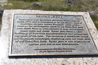
This plaque was on a marker. I climbed higher to get a better view.
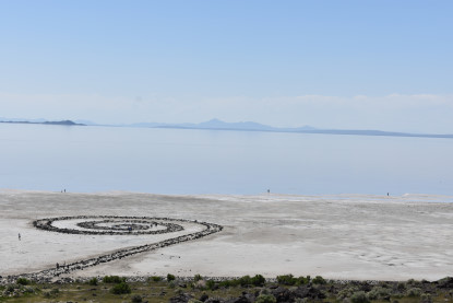
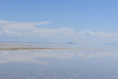
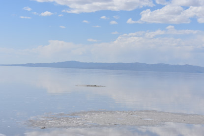
The Spiral Jetty with people out on the salt flats.
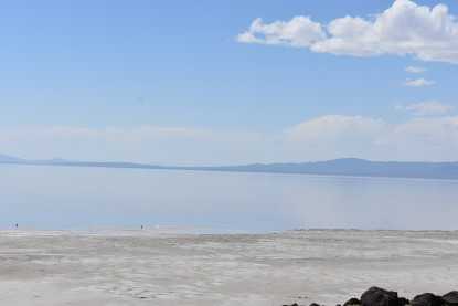
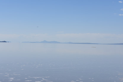
Promontory Point.
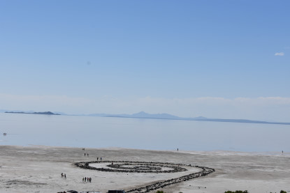
Another view of the Spiral Jetty.
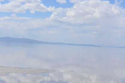
Views from the hillside.
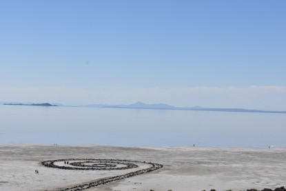
The Spiral Jetty.
More views from the hillside.
Ground level view of the Spiral Jetty.
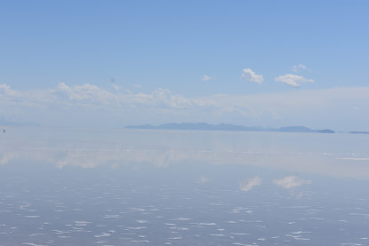
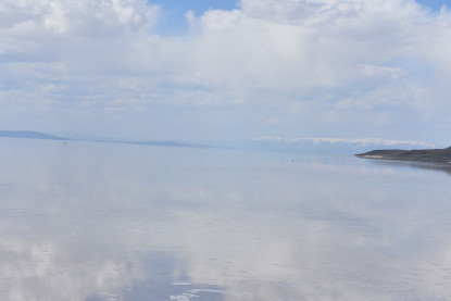
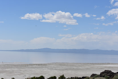
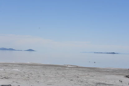
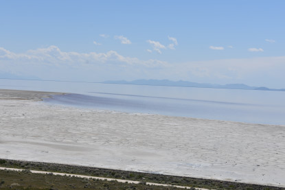
Views from the edge of the Great Salt Lake.
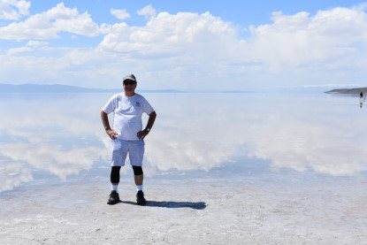
Me at the edge of the Great Salt Lake.
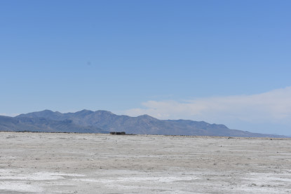
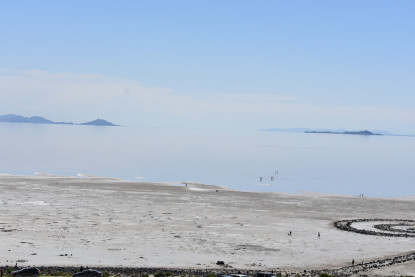
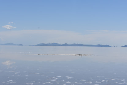
One last view of Promontory Point. We started back but had one more picture we wanted.
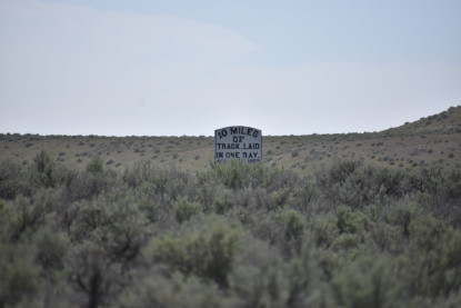
10 Miles of Track in One Day Sign. We drove back and would take the Eastern Auto Tour Road on the old Central Pacific grade. Sit back and enjoy the view.


Our trip down the Auto Tour Road. Next we stopped at the bottom overlook.
Looking up at the Big Fill.
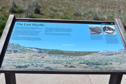
The Last Hurdle signboard.
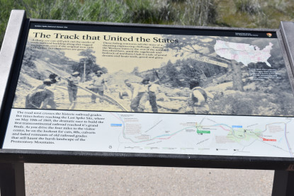
The Track that United the States signboard. From we went back to Corinne and there was a reason to stop here again.
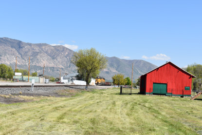
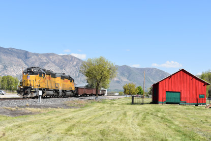
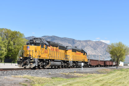
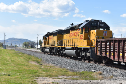
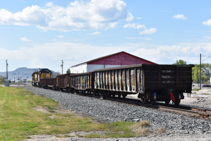
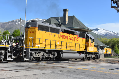
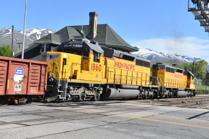
Union Pacific Malad Branch local. We drove to Brigham City, filled the car then went to Carl's Jr. for dinner before going to the station,
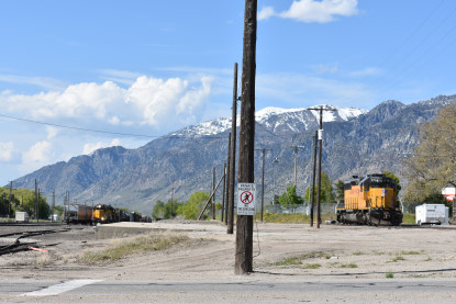
View of the Union Pacific Brigham City yard.
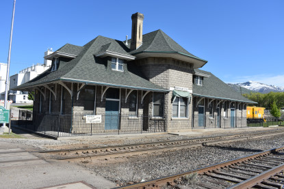
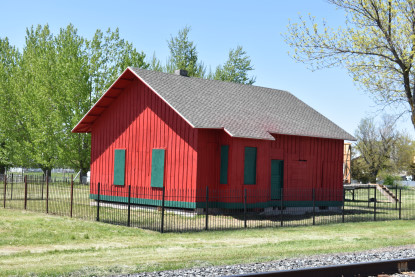
The Oregon Short Line (Union Pacific) station in Brigham City, built in 1907 and houses the Depot Museum
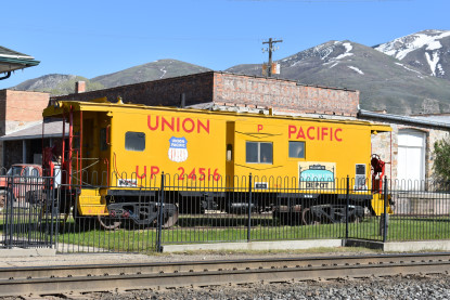
Union Pacific bay window caboose 24516, built in 1966 as Chicago, Rock Island and Pacific 17098.
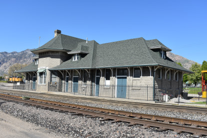
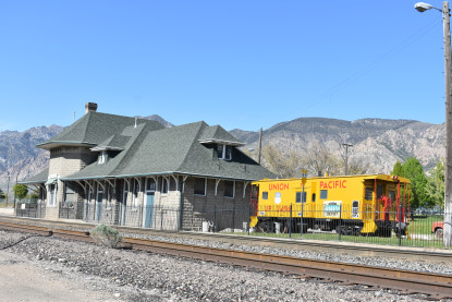
The Brigham City Depot Museum.
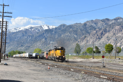
Union Pacific local switching here. We drove to the Howard Johnson Motel and checked in then I wrote two stories before calling it a night.
| RETURN TO THE MAIN PAGE |


