


The South Lake Union Streetcar is a 1.3-mile, seven-stop line serving the South Lake Union neighbourhood of Seattle. Its route goes from the Westlake hub to the Fred Hutchinson Cancer Research Center in South Lake Union. Transfers can be made at Westlake to many bus routes on the surface streets, and to some bus routes and Link Light Rail in the Downtown Seattle Transit Tunnel's Westlake Station. The line opened to the public in 2007. In 2008, about half a million people rode the Seattle Streetcar, averaging out to about 1,400 riders per day.
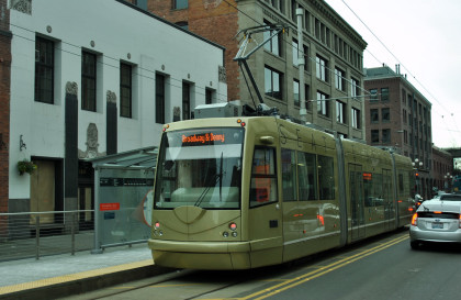
First Hill StreetcarThe First Hill Streetcar is a 2.5-mile-long, 10-stop line that connects Pioneer Square and Capitol Hill via Chinatown, Little Saigon, Yesler Terrace, and First Hill. The line opened to the public in January 2016 and uses a fleet of six low-floor Inekon 121 Trio streetcars that are maintained and operated by King County Metro. The articulated streetcars measure 66 feet long, 8 feet wide and have two operator's cabs for bi-directional operations. They each have 30 seats and capacity for 40 additional standing passengers, along with two wheelchair locations; to board wheelchairs and bicycles, a mechanical bridge plate is deployed by the operator from one of two doors in the center section. A third door is located near the operator's cab in the raised section above the truck, which has seating accessed by a stair. A set of digital displays inside the car show upcoming stops, which are also announced by an audio message.
The streetcars, numbered 401 to 407, were built by Czech manufacturer Inekon Trams, who also supplied the vehicles for the South Lake Union line and the Portland Streetcar system. The fleet was manufactured in Ostrava by Inekon and shipped to Seattle for final assembly by Pacifica Marine in 2015, falling significantly behind schedule and delaying the start of service. The streetcars draw their electrical power from overhead catenary that is energized at 750 volts direct current. Unlike the 12 Trio models used for the South Lake Union line, the 121 Trio features an on-board energy storage system that allows streetcars to run off-wire on downhill sections of the route and recharge the battery using regenerative braking.
The streetcars are painted in colours to represent neighbourhoods on the route, including baby blue for First Hill's hospitals, metallic gold for Pioneer Square's role in the Klondike gold rush, jade green for Little Saigon, hot pink for Capitol Hill, and red and yellow for Chinatown–International District. One of the streetcars includes the names of the constituent ethnic communities in the International District; it was updated in 2025 to add Filipinotown after lobbying from community activists.
Our tripBob, Elizabeth and I walked over to Occidental Mall.
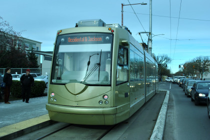
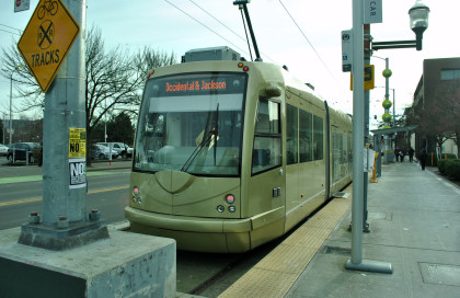
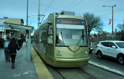
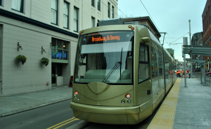
Our streetcar for our trip. I purchased my ticket and Bob and Elizabeth used their ORCA cards. The streetcar then pulled out of the station and we were on our way.
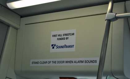
This is the official name of the line.
Pioneer Square Mall.
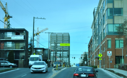
Crossing 1st Avenue South.
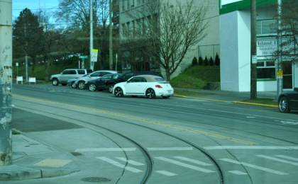
Crossing 2nd Avenue South.
Crossing 3rd Avenue South.
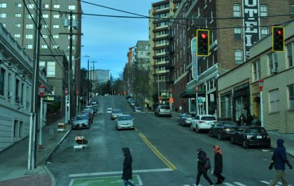
Crossing 2nd Avenue.
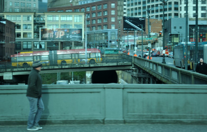
The Burlington Northern Santa Fe, former Great Northern, tunnel that goes under downtown Seattle.
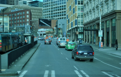
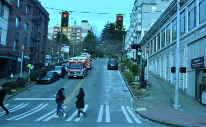
Crossing 4th Avenue South.
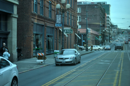
Approaching 5th Avenue.
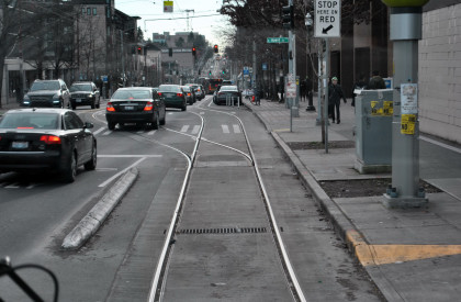
On 5th Avenue, you can see the tracks of the old Waterfront Streetcar that once ran in Seattle. It is a shame that the City of Seattle did not keep this operation going because it was always fun to ride.
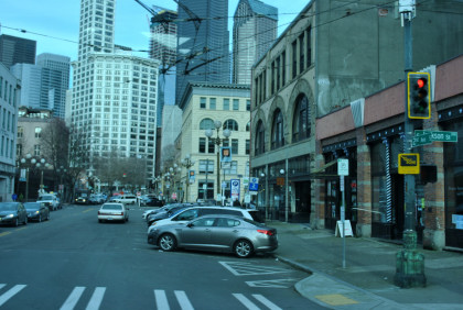
We continued our journey by crossing 6th Avenue South.
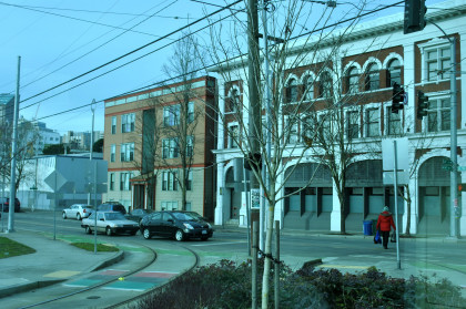
Maynard Avenue.

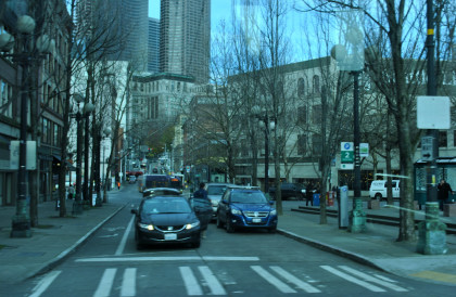
We crossed over 7th Avenue South.
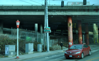
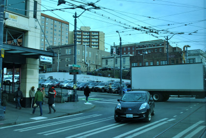
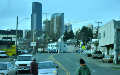
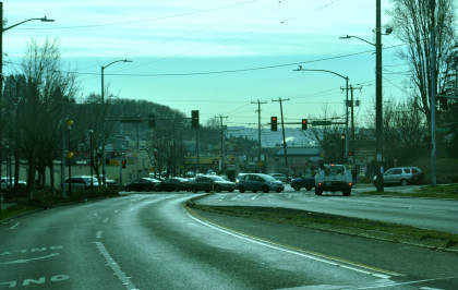
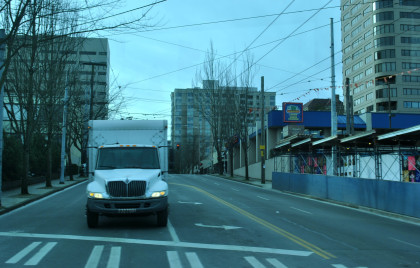
Passing underneath Interstate 5 with the Chinese fish paintings on the pillars.
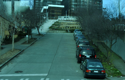
Crossing 10th Avenue South. At this point, there is a track to the south that leads to the car barn.
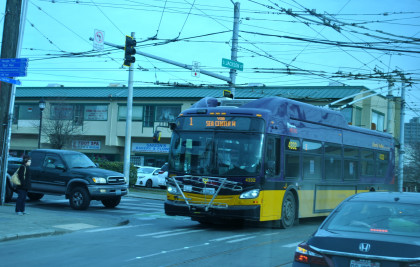
Seattle has many electric trolley buses that roam their city.
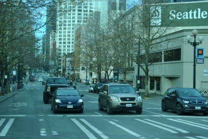
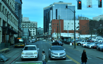
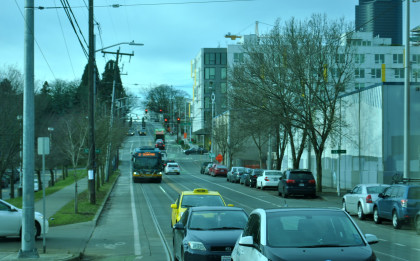
We next crossed 12th Avenue South.
We were going to turn north on 14th Street to gain elevation to climb the hill.
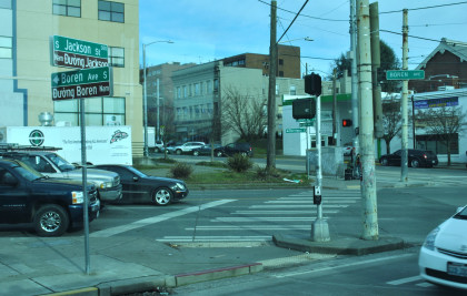
This turn is at the intersection of 14th Street, Jackson Street and Boren Street.
We started our turn onto 14th Street.
Crossing Boren Street for the first time.
We turned to the west on East Yesler Way to continue to climb the hill.
Looking down East Yesler Way.
Crossing Boren Street for the second time.
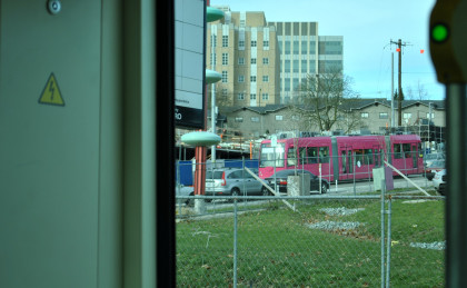
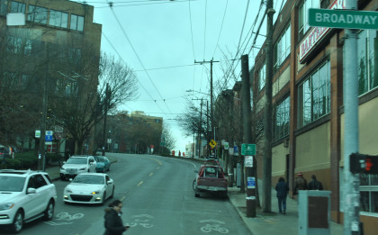
We would turn up Broadway and meet a streetcar on Broadway.
The view up Terry Avenue.
Looking up Alder Street.
Our third encounter with Boren Street.
Crossing Jefferson Street.
Next was James Street.
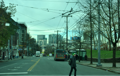
We then crossed Madison Street. From here, we went from double track to single track into our final station of Broadway and Roy, where we detrained.
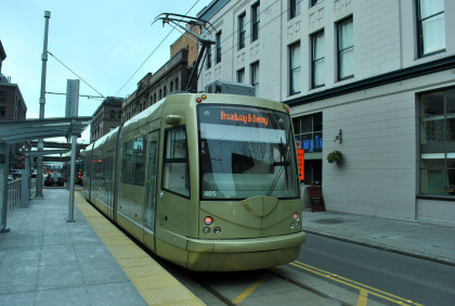
Our streetcar at Broadway and Roy. We reboarded and waited for departure.
Picture through the drivers' compartment of our route back.
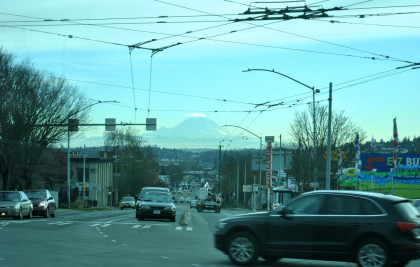
On the way back, Mount Rainier looking down Rainier Avenue.
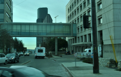
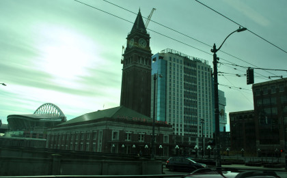
Seattle Union Station, headquarters of Sound Transit.
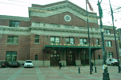
King Street Station. We returned to our starting station of Occidental Mall.
Our streetcar at rest at Occidental Mall; the ride had given the three of us a better understanding of Seattle's history and culture. We walked over to the King Street Bar and Oven where I had to get my meal to go because they messed it up. After that, I walked back to King Street Station to get my ticket for the Sounder trip to Lakewood.
| RETURN TO THE MAIN PAGE |