


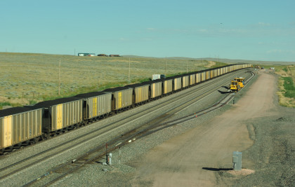
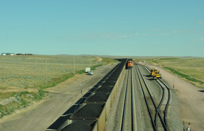
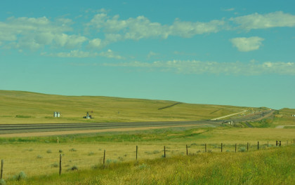
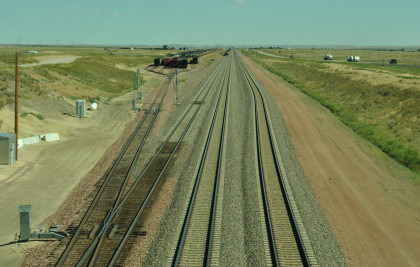
Robin, Chris Parker and I checked out of the Super 8 in Douglas, filled the car with petrol and had breakfast at McDonald's. We drove Highway 59 and turned down Bill Hall Road to the BNSF line and saw a train ahead of us at the grade crossing.
Powder River BasinThe Powder River Basin is a geologic structural basin in southeast Montana and northeast Wyoming, about 120 miles east to west and 200 miles north to south, known for its coal deposits. The region supplies about 40 percent of coal in the United States. It is both a topographic drainage and geologic structural basin. The basin is so named because it is drained by the Powder River, although it is also drained in part by the Cheyenne River, Tongue River, Bighorn River, Little Missouri River, Platte River and their tributaries.
While the Powder River Basin is unified geologically, residents of areas distant from the Powder River proper do not think of themselves as living in a single geographic region. For example, residents of the Crow Reservation in the Big Horn River watershed, or of Sheridan in the Tongue River watershed, would locate the Powder River Basin as the region east of the Big Horn Mountains, using a definition based on watershed and topography.
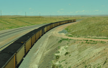
Major cities in the area include Gillette and Sheridan, Wyoming and Miles City, Montana. Outside of these main towns, the area is very sparsely populated and is known for its rolling grasslands and semiarid climate. It is the single largest source of coal mined in the United States, and contains one of the largest deposits of coal in the world. Most of the active coal mining in the Powder River Basin actually takes place in drainages of the Cheyenne River. Because of the Powder River Basin, Wyoming has been the top coal-producing state in the country since 1988. In 2007, the Powder River Basin alone produced 436 million short tons of coal, more than twice the production of second-place West Virginia, and more than the entire Appalachian region. The Powder River Basin is the largest coal producing region in the United States. The Black Thunder Coal Mine is one of the most productive coal mines in the United States; in 2006 this single mine produced 84 million metric tons of coal, more than any state except Wyoming, West Virginia, and Kentucky. The region is also a major producer of natural gas through a process called coal-bed methane extraction. Underground coal seams are dewatered through pumping, which reduces pressure and releases trapped gases up to the well head.
PhanerozoicThe Powder River Basin contains a section of Phanerozoic rocks up to 17,000 feet thick, from Cambrian to Holocene.
CretaceousThe thickest section of the Powder River Basin is composed of Cretaceous rocks, an overall regressive sequence of mostly marine shales and sandstones deposited in the Western Interior Seaway.
TertiaryThe coal beds of the region began to form about 60 million years ago when the land began rising from a shallow sea. The rise of the Black Hills uplift on the east and the Hartville uplift on the southeast side of the basin created the present outline of the Powder River Basin.
When the coal beds were forming, the climate in the area was subtropical, averaging about 120 inches of rainfall a year. For some 25 million years, the basin floor was covered with lakes and swamps. Because of the large area of the swamps, the organic material accumulated into peat bogs instead of being washed to the sea. Periodically the layers of peat were covered with sediments washed in from nearby mountains. Eventually the climate became drier and cooler. The basin filled with sediment and buried the peat under thousands of feet, compressing the layers of peat and forming coal. Over the last several million years, much of the overlying sediment has eroded away, leaving the coal seams near the surface.
CoalPowder River Basin (PRB) coal is classified as "sub-bituminous" and contains an average of approximately 8,500 btu/lb, with low SO2. Contrast this with eastern, Appalachian bituminous coal containing an average of 12,500 btu/lb and high SO2. PRB coal was essentially worthless until air pollution emissions from power plants became a concern. A coal-fired plant designed to burn Appalachian coal must be modified to remove SO2 at a cost estimated in 1999 to be around $322 per ton of SO2. If it switched to burning PRB coal, the cost dropped to $113 per ton of SO2 removed. Removal is accomplished by installing scrubbers.
The Powder River Basin is the largest coal mining region in the United States, but most of the coal is buried too deeply to be economically accessible. The Powder River Basin coal beds are shaped like elongated bowls and as mines expand from east to west in the Powder River Basin, they will be going "down the sides of the bowl." This means that the overburden (rock lying over the coal) will increase as will the stripping ratio (the ratio of rock that needs to be moved to get to a ton of coal).
The United States Geological Survey (USGS) has conducted a series of studies on the economic accessibility of coal in the major coal producing regions of the country. The studies have typically found that only a small fraction of the coal will be economically accessible at the current price of $10.47/ton. In August 2008, the USGS issued an updated assessment of coal in the Powder River Basin. After considering stripping ratios and production costs, the USGS concluded that at the time of the economic evaluation, only 6 percent of the original resource, or 10.1 billion short tons of coal, was currently economically recoverable. At a price of $60/ton, roughly half (48 percent) of the coal is economic to produce.
Presently the approximately 15 mines in the Powder River Basin are working in areas where the stripping ratio is between 1:1 (i.e. one ton of rock for one ton of coal) and 3:1. As the mines expand the stripping ratio will increase. As more rock needs to be moved (using large electrically powered draglines and diesel and electric mining trucks) the production cost will also increase.
The United States uses about 1 billion tons of coal a year, with about 40 percent of the coal currently coming from the Powder River Basin. The amount of coal coming from the Powder River Basin has been increasing over the last 20 years.
Increasing the price paid for coal can increase the amount of economically recoverable coal, but increasing the price of coal will also increase the production cost for the coal. In addition, because coal is a solid, not a liquid, it cannot be produced from many scattered wells as oil and gas can be. Rather, coal has to be produced from mines that expand slowly by moving massive quantities of overburden.
The mines in the Powder River Basin typically have less than 20 years of life remaining. Almost all of the coal in the Powder River Basin is federally owned and further mine expansions will require a series of federal and state approvals, as well as large investments in additional mine equipment to begin the excavations.
The majority of the coal mined in the Powder River Basin is part of the Fort Union Formation (Paleocene), with the low sulfur and ash content of the coal in the region making it very desirable. Coal supplies about half of the United States' electricity supplies, with the Powder River Basin mines supplying around 40 percent of the coal that fuels those stations, mainly to the east of the Rocky Mountains, for generating electricity.
As of 2013 five coal export terminals were being proposed in the Pacific Northwest to export coal from the Powder River Basin to China and other Asian markets.
Our Visit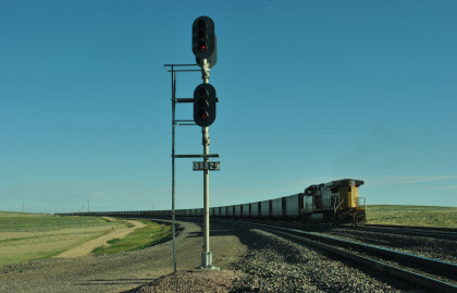
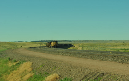
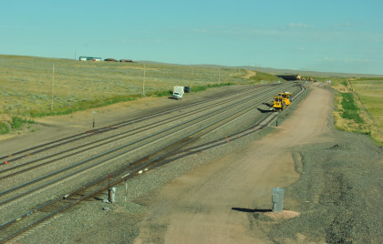
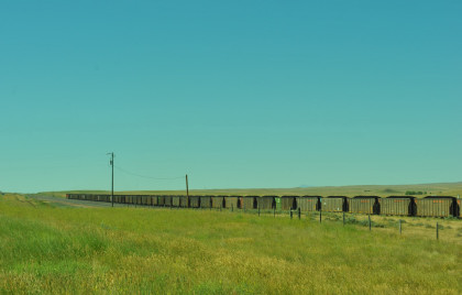
We missed the first train by just minutes but saw the rear of it.
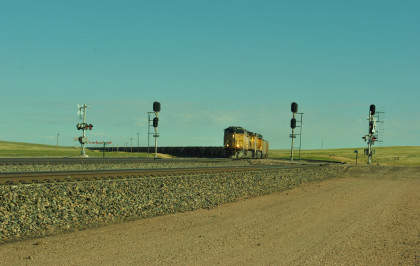
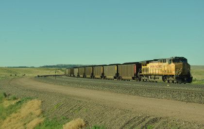
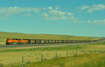
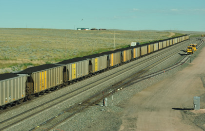
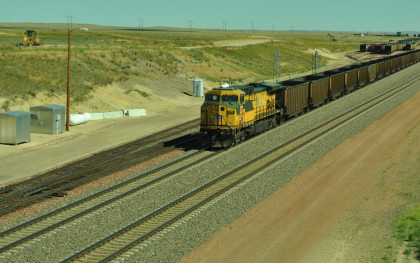
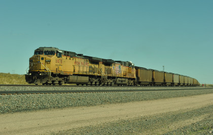
Union Pacific 6505 South at Bill Hall Road. We returned back west.
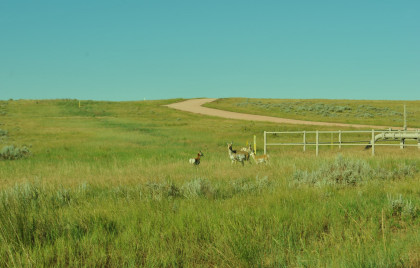
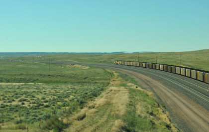
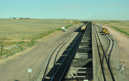
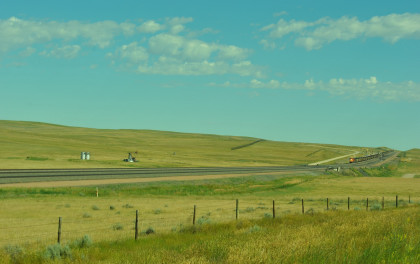
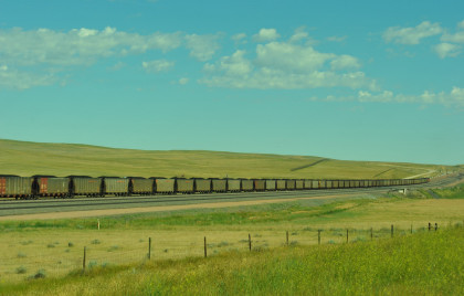
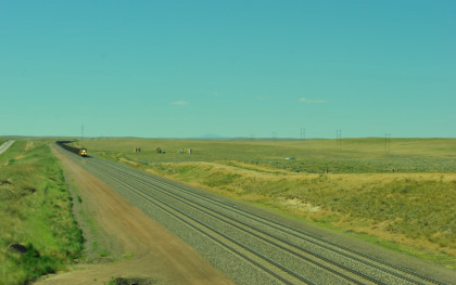
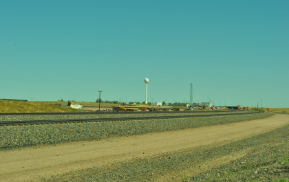
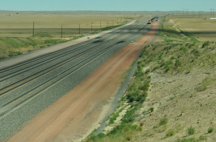
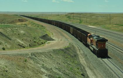
Antelope along the road. We went to Wyoming Highway 59 and drove north to Flat Top Road to the bridge over the tracks and a few minutes later, a train was approaching.
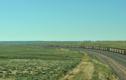
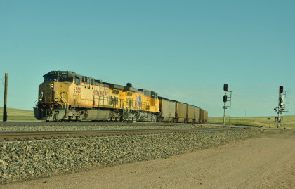
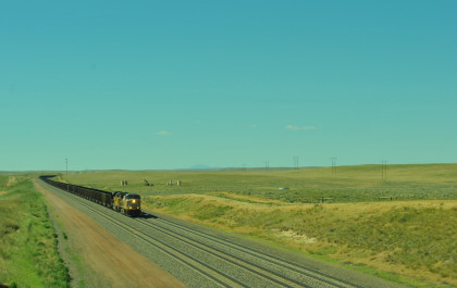
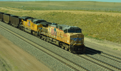
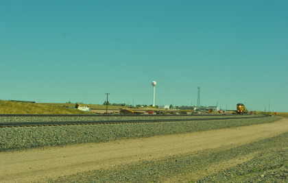
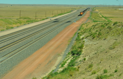
Union Pacific 7646 South at Flat Top Road.
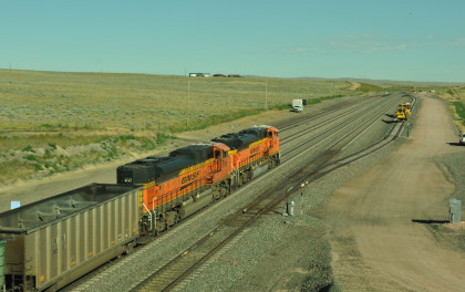
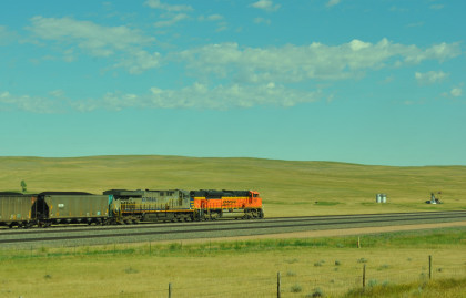
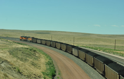
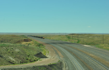
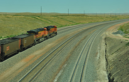
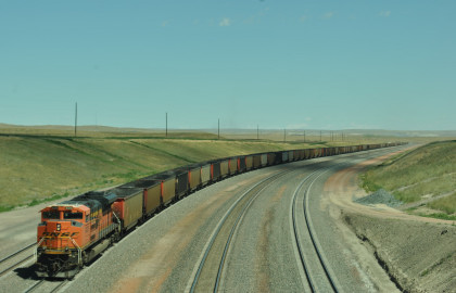
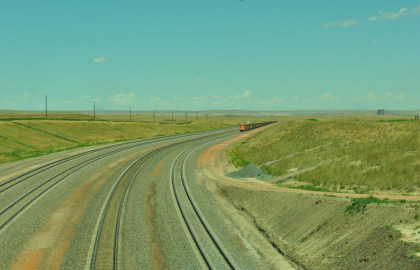
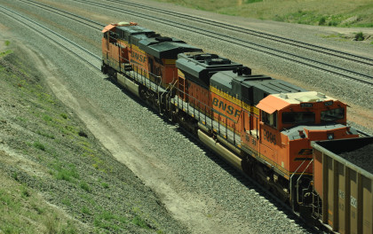
BNSF 9161 North.
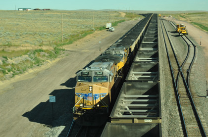
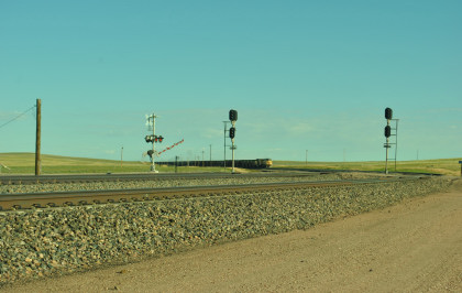
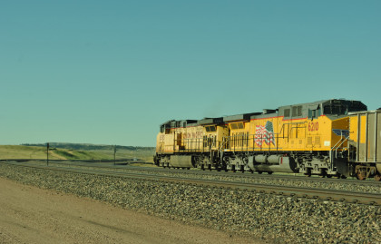
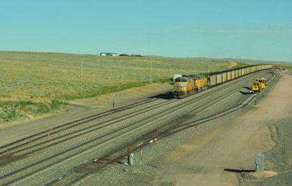
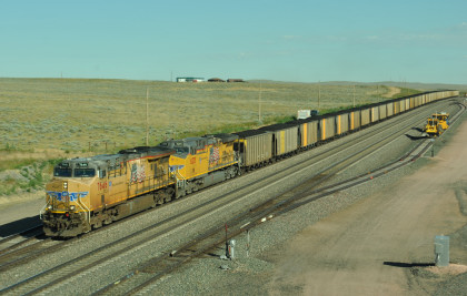
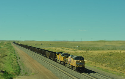
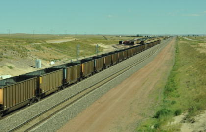
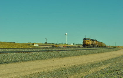
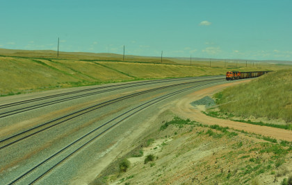
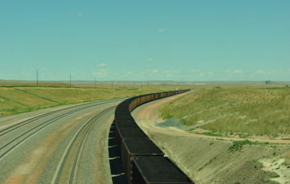
Union Pacific 5943 South. We returned to Wyoming 59 and proceeded north, coming upon a southbound train so returned to a photo spot along Wyoming 59.
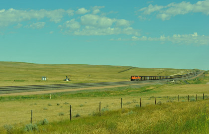
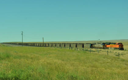
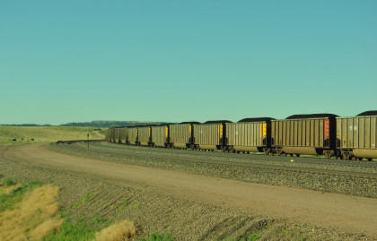
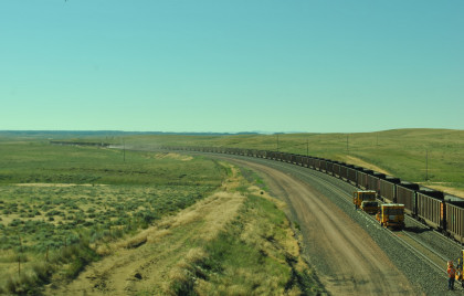
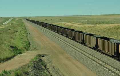
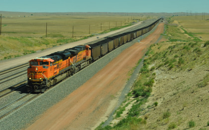
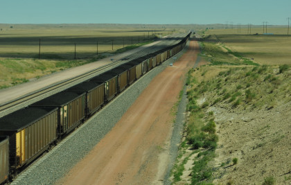
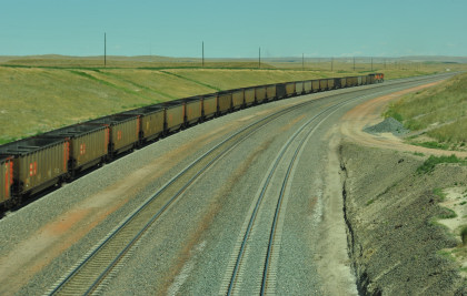
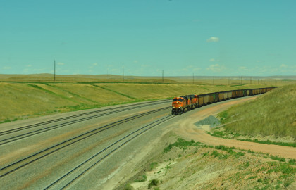
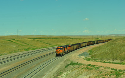
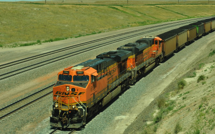
BNSF 9170 South crossed Lightning Creek. Next we headed to the bridge at the south end of Bill.
There was a Union Pacific train approaching but it stopped and turned off its headlight.

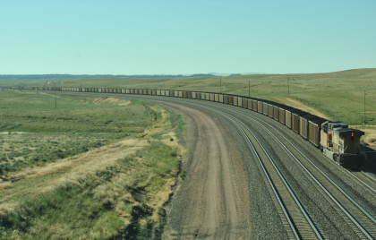
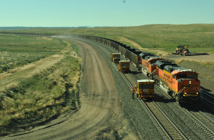
Union Pacific 6066 North with former Chicago and North Western 6718 as its DPU at the south end of Bill. We drove north through Bill but had to return for a southbound train.

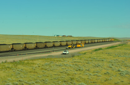
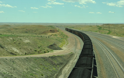
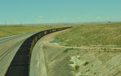
Union Pacific 6678 South. We drove to the overpass over the BNSF tracks and saw a headlight to the north so pulled off.
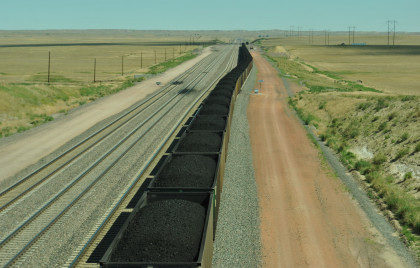
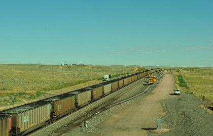
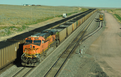
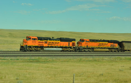
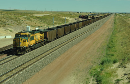
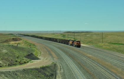
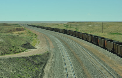
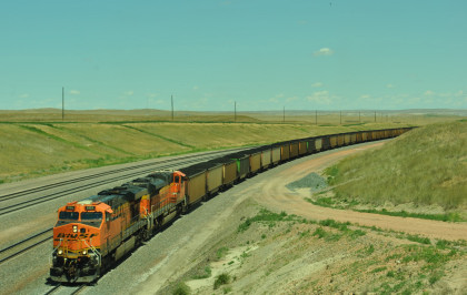
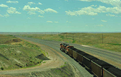
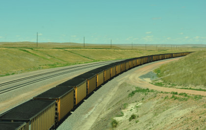
BNSF 9075 South at the Wyoming Highway 59 bridge. We then went north and took the road to the bridge at the top of Logan Hill.
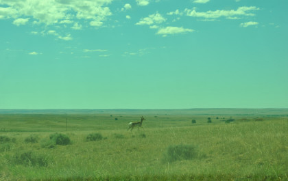
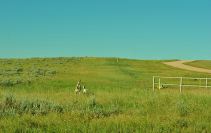
We saw more antelope.
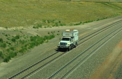
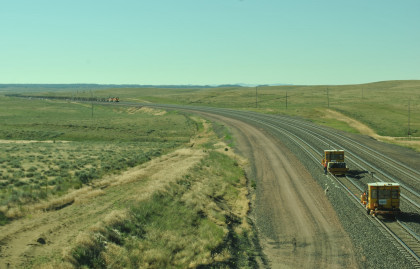
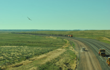
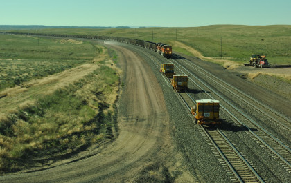
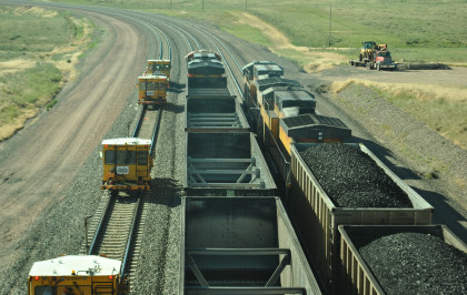
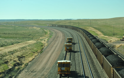
First came the Herzog Rail Tester truck, the same one Chris Parker talked with before we left Douglas this morning.
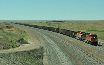
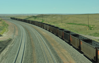
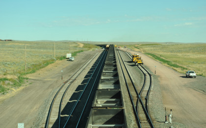
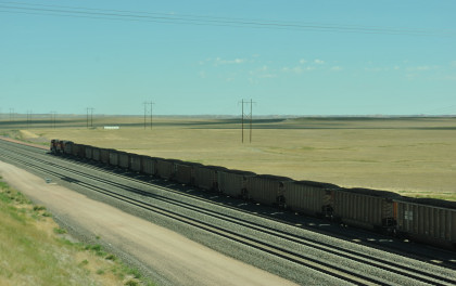
BNSF 6413 North at the bridge at Logan Hill.
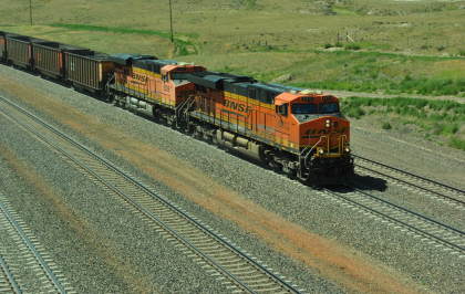
BNSF 6103 South. From here we returned to Wyoming 59 and took it north to Wyoming 450 to Reno Junction, where I saw how much it had changed from my last visit in 1992.