


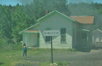
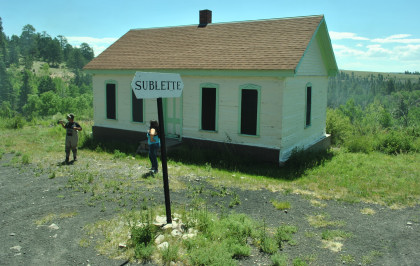
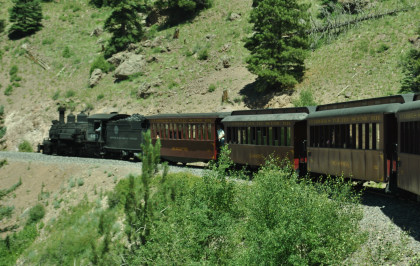
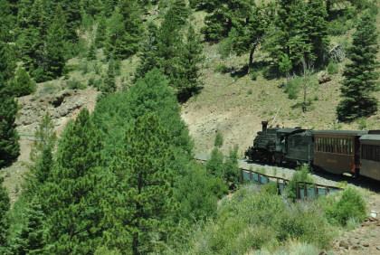
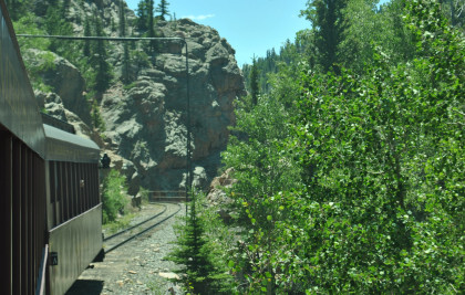
We contined to climb the grade, rounding curves on the way to Sublette.
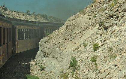
Passing through Rock Cut.
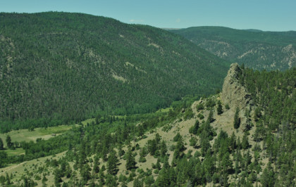
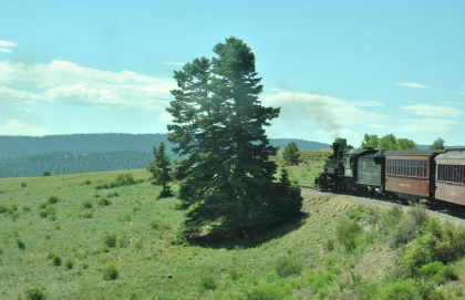
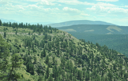
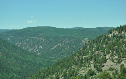
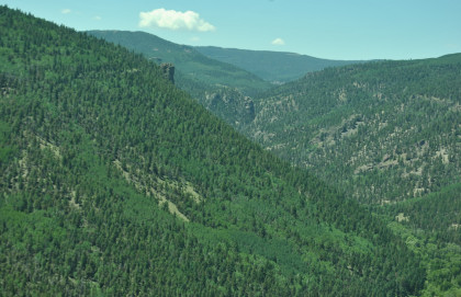
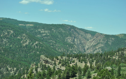
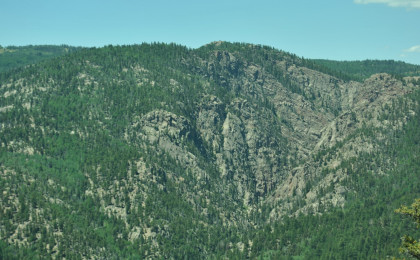
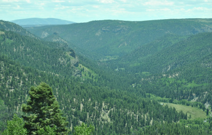
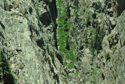
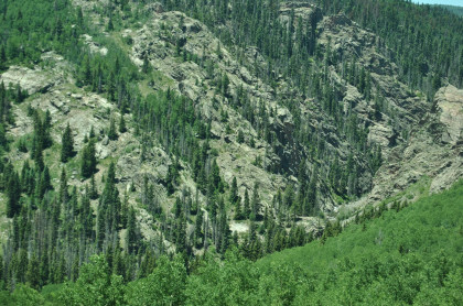
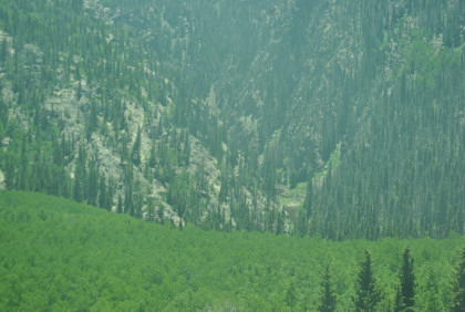
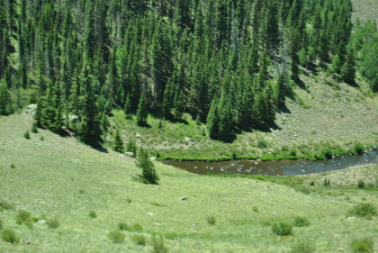
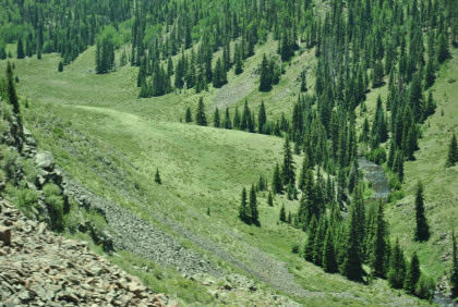
Looking into the Rio des Los Pinos valley.
Climbing the grade into the valley.
Looking to the north.
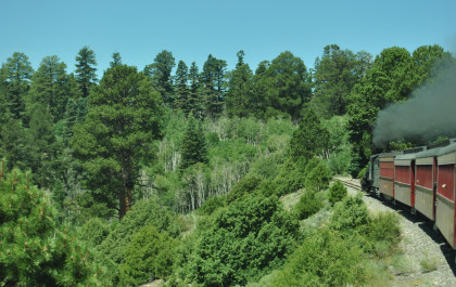
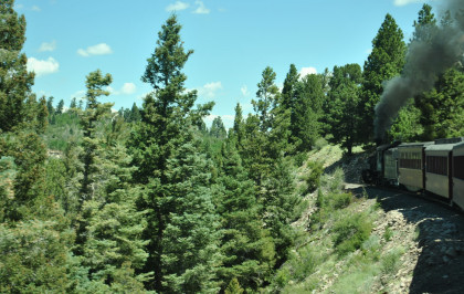
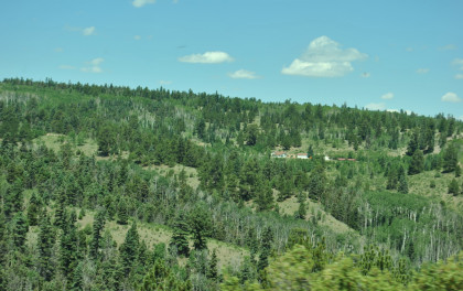
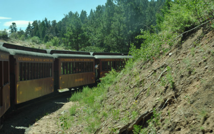
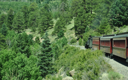
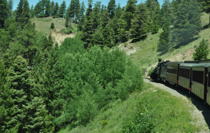
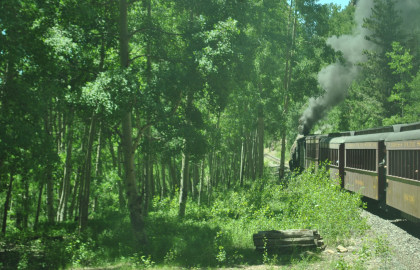
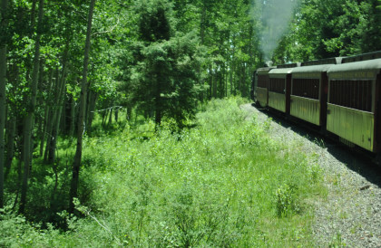
Passing through miles of beautiful countryside.
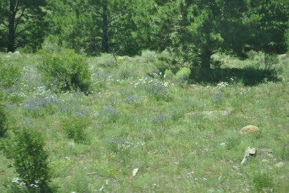
Lupins and other Colorado wildflowers.
The Rio de Los Pinos valley.
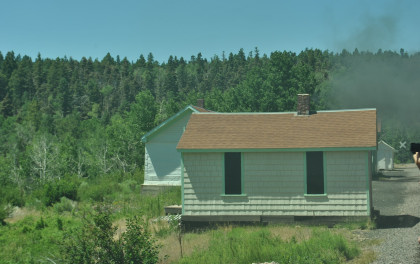
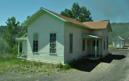
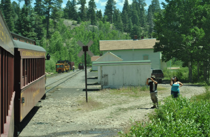
Section gang houses, bunk houses, coal storage, water spout and speeder shed at Sublette.
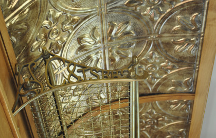
A unique feature in every coach is that the luggage racks have the railroad's initials on each end.
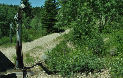
The water plug at Sublette from which we took water.
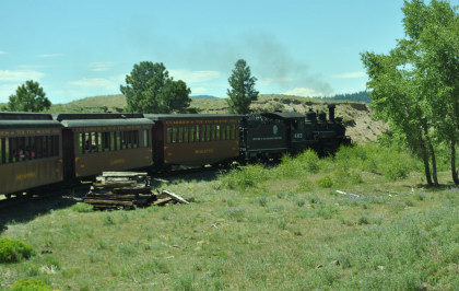
Leaving Sublette behind.
From here, we climbed to the Mud Tunnel.
A last view of Mount San Antonio.
We kept gaining elevation.
Looking back from where we came.
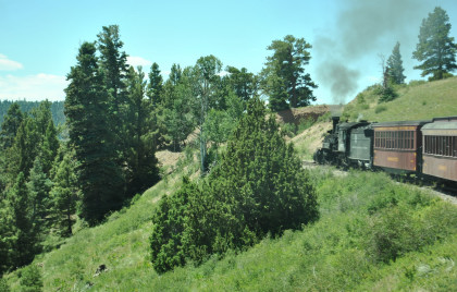
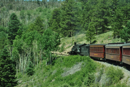
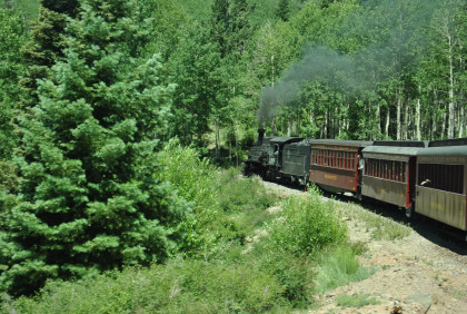
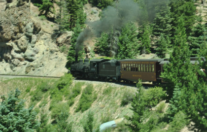
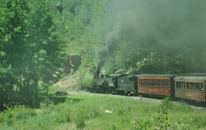
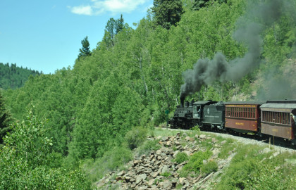
The Mudhen working hard.
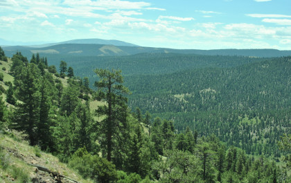
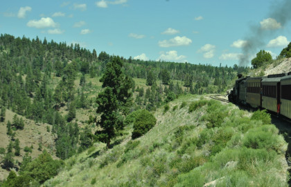
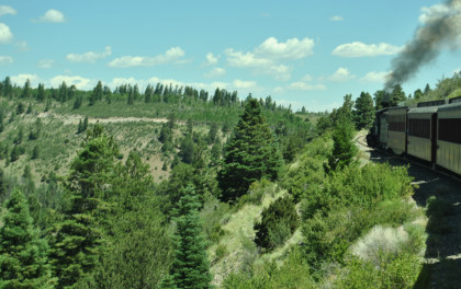
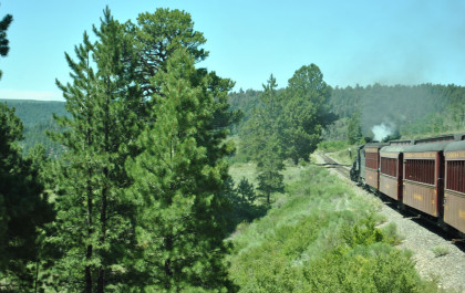
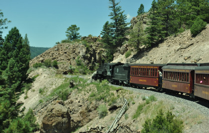
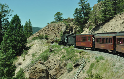
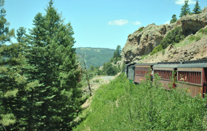
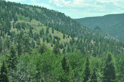
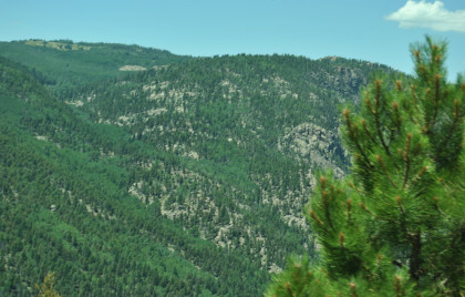
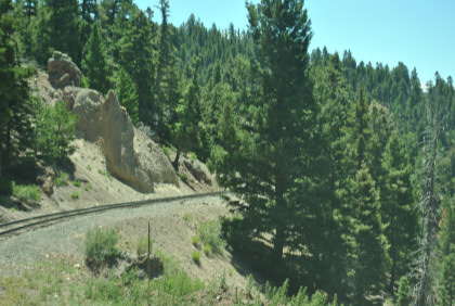
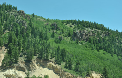
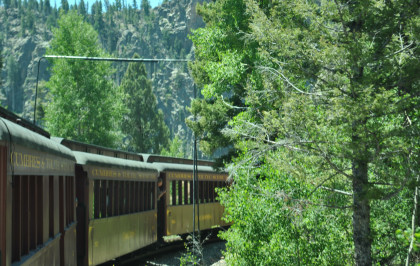
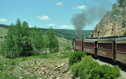
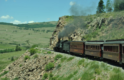
Beautiful views abound on the Cumbres and Toltec Scenic Railroad.
Still climbing to the Mud Tunnel.
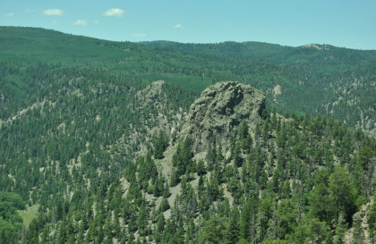
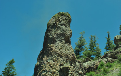
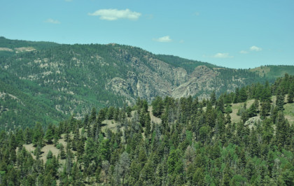
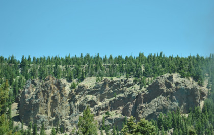
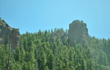
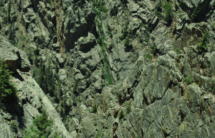
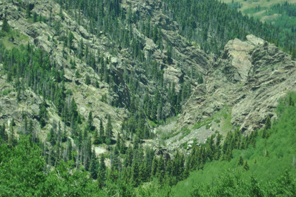
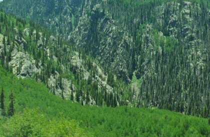
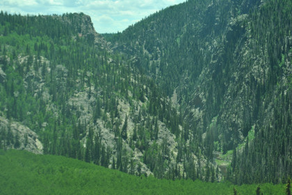
Interesting rock above the Rio de Los Pinos valley.
High above the Rio de Los Pinos.
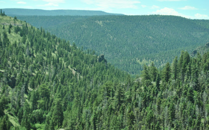
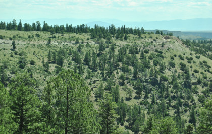
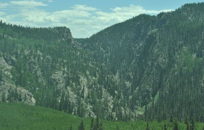
The scenery has certainly changed since we started this journey.
Still climbing the grade towards the Mud Tunnel.
Passing through another rock cut.
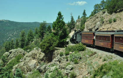
Another of the many curves.

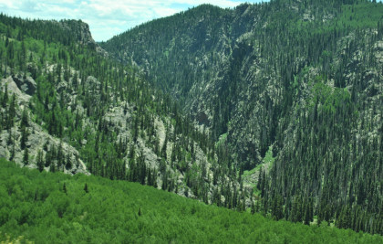
That interesting rock in the Rio de Los Pinos valley.
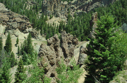
We entered the Toltec Gorge.
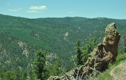
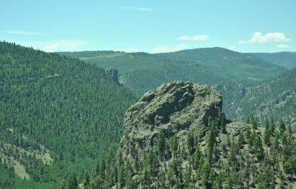
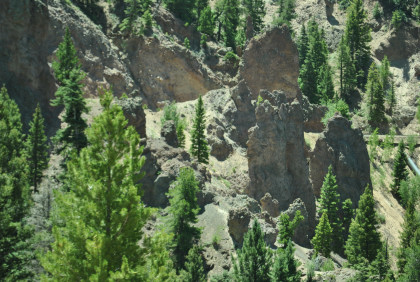
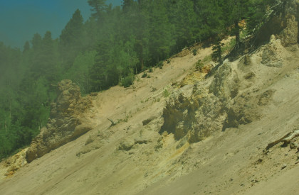
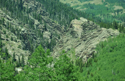
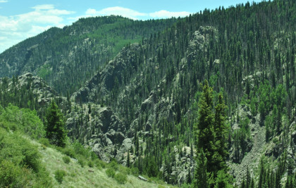
More interesting geology.
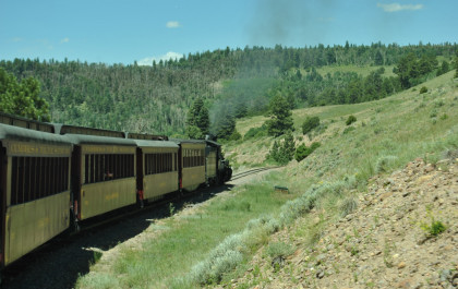
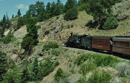
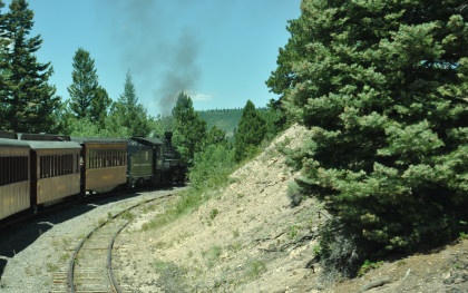
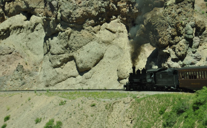
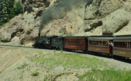
The plethora of curves allowed passengers to see the steam engine leading our train.
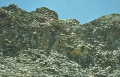
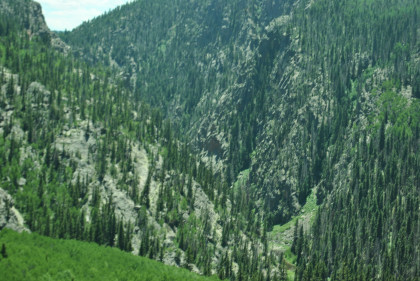
Interesting geology.
The valley grew deeper as we enter the Toltec Gorge.
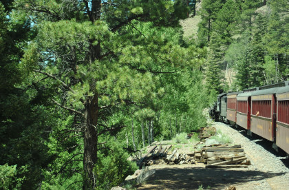
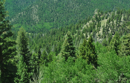
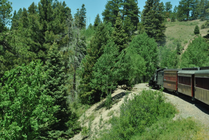
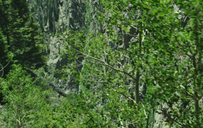
Fir and aspen trees along the route.
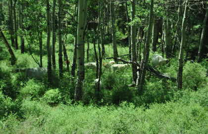
Cows in the forest.
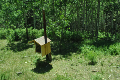
One of the communication boxes.
Another scenic view as we continue to the Toltec Gorge.
Toltec siding.
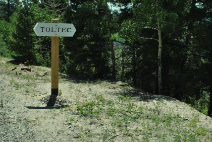
The Toltec station sign.
The Chama Mountains.
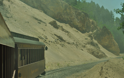
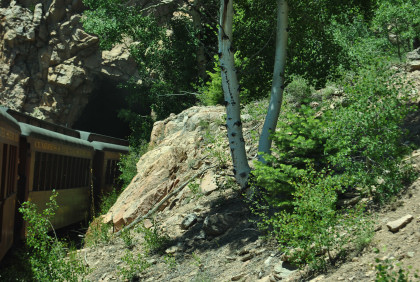
Approaching the 349 foot Mud Tunnel, or Toltec Tunnel, at Milepost 311.0. The Rio Grande had many problems with this tunnel as both portals were built in soft, volcanic ash that had a tendency to slide when wet.
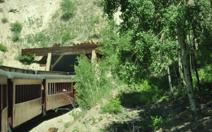
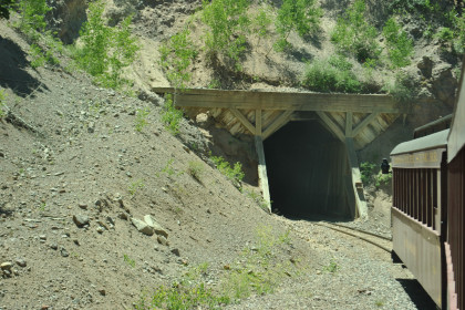
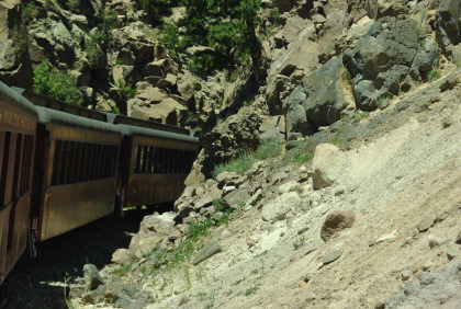
Our entry and exit.
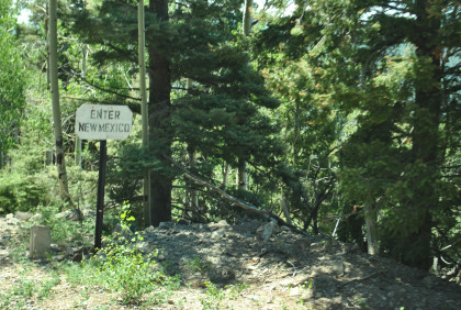
Crossing the state line into New Mexico again.
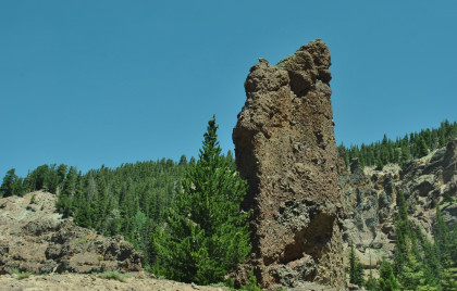
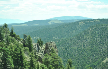
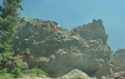
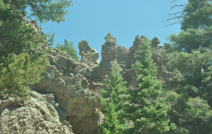
Rock formations as we approach Phantom Curve.
Rounding Phantom Curve as te tracks wind back and forth around tall pinnacles, spires and pedestral rocks formed from breccias of the Conejos Formation. The weird shapes are the result of the alteration by hot water, by weathering and by erosion of the volcanic rock. The alteration also causes the wide variety of colours seen in the rocks along the section of track.
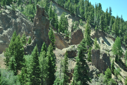
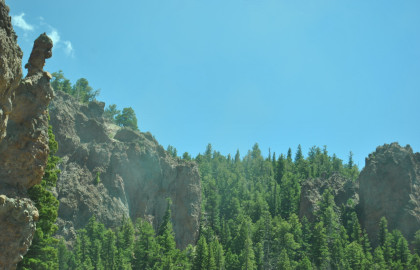
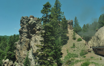
The rocks of Phantom Curve.
Leaving Phantom Curve behind.
On the way to Rock Tunnel.
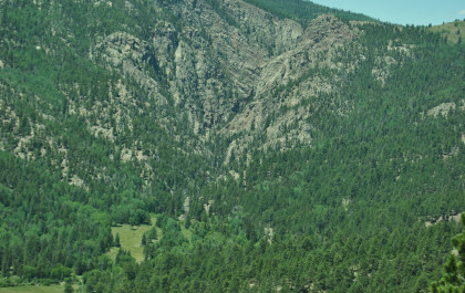
Another beautiful view.
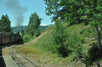
The train runs through the forest.
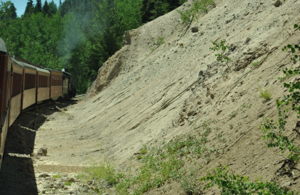
Another cut of volcanic ash.
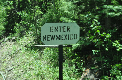
Entering New Mexico.
Looking down into the Rio de Los Pinos valley.
Rounding as we near Rock Tunnel at an elevation of 9,631 feet. This 366 foot curving tunnel was blasted out ofthe Pre-cambrian cystalline rock, was enlarged in 1937 and is 600 feet above the river.
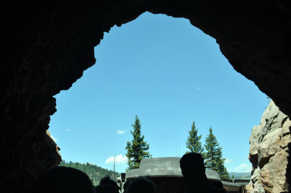
Entering and exiting the tunnel.
Looking down into the Toltec Gorge.
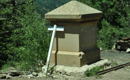
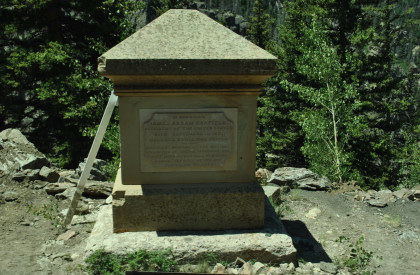
The Garfield Monument, a memorial to President James Garfield, was erected by the American Association of General Passenger and Ticket Agents on September 26, 1881, the day concluding funeral services were held in Cleveland, Ohio for President Garfield who was shot by Charles J. Guiteau. This monument is located at milepost 315.32.
Looking back at Rock Tunnel.
The Toltec Gorge.
Curving out of the Gorge.
The Los Pinos River.
The scenic Toltec Gorge.
A sharp curve as we continue make our way to our lunch stop at Osier.
The Pinos River valley offers many scenic views.