


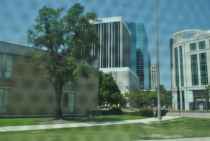
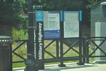
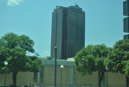
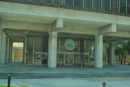
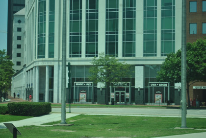
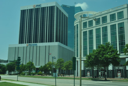
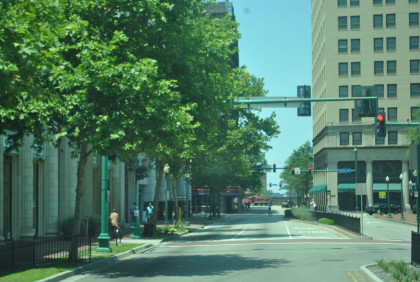
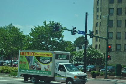
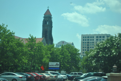
Robin and I slept in at the Tazewell Hotel in Norfolk and both had a good rest. Since this hotel does not offer breakfast, we went to a cafe four blocks away but it was closed on Tuesday so we asked someone on the street who said to walk down to St. Paul Street and we would find the best place to eat. We walked and found the Brick House Cafe at Crown Center and I had the best breakfast of the whole trip, enjoying Silver Dollar pancakes both bacon and sausage and orange juice, after which I felt like a new man. Afterwards, we walked over the Norfolk City Hall and took the elevator up 11 floors to get Norfolk municipal pins for Elizabeth then I walked back to the Tide Light Rail Civic Center station and picked our day passes to ride the Tide. We took the Tide one stop back to MacArthur Square station and walked back to the hotel to pick up my camera.
Tide Light Rail BackgroundThe Tide is a 7.4 mile light rail line in Norfolk, Virginia, connecting Eastern Virginia Medical School, Downtown Norfolk, Norfolk State University and Newtown Road. Service began on August 19, 2011 and it was the first light rail system in the state. The Tide is operated by Hampton Roads Transit (HRT). Fares match local bus fares and the line accepts HRT's GO Passes.
History The Tide's current routeIn November 1999, the City of Virginia Beach conducted a referendum regarding the construction and operation of light rail into Virginia Beach along the Norfolk Southern railroad right-of-way. The proposed route would connect downtown Norfolk to the Virginia Beach oceanfront. The referendum led to a community discussion of the proposed light rail and feeder bus system. Local media and many special interest groups debated the matter in great detail, using information provided by a Draft Environmental Impact Statement. The voters of Virginia Beach rejected the proposed light rail system. The Virginia Beach City Council then passed a 10-year resolution declaring that the city would no longer have any future involvement in the proposed light rail line. Years later, a major economic and development hub has been built along the Norfolk Southern rail corridor, known as the Virginia Beach Town Center. The new Town Center, along with record high gas prices in 2008, has now made many Virginia Beach residents that opposed the rail line have second thoughts on the plan. A renewed public interest in light rail has been stirred up as some that were opposed to rail see the viewpoint of proponents. A new referendum on light rail will not necessarily be needed in Virginia Beach due to the 10-year expiration of the previous referendum.
Since then, the City of Virginia Beach agreed to purchase the portion of the former Norfolk Southern Railway right-of-way within Virginia Beach from Norfolk Southern. This line extends from the Norfolk/Virginia Beach boundary (near the end of the light rail line in Norfolk), continuing almost due east through the Pembroke Town Center area to Birdneck Road, ending very near the waterfront area of the resort city. However, no firm plans (e.g. for LRT, Bus Rapid Transit, or other uses) have been announced for the purchased right-of-way.
After Virginia Beach pulled out of a proposal that would have seen the construction of a light rail line connecting downtown Norfolk with the Virginia Beach oceanfront in 1999, Norfolk began developing a network that would be constructed entirely within its city limits. Beginning in 2000, HRT and federal transit officials worked to create a plan that would attract federal funding. On September 22, 2006, the Federal Transit Administration announced that the proposal met federal criteria for design and would receive funding for a final design. On October 1, 2007, the FTA signed the agreement to appropriate $128 million for the construction of the network. The remainder of the project will be divided three ways, with the city of Norfolk contributing $33 million, the Commonwealth of Virginia contributing $31.9 million, and $39.2 million being contributed from other federal sources.
Officials announced in June 2007 that the system would be called The Tide, a name that beat out other proposed names including Bay Runner, First Rail, Dash, Bay Breeze, Sail and Shore Line.
The trains generally run every 15 minutes; they run every 10 minutes during peak periods and every 30 minutes during early weekend mornings and late evenings. Service will be from 6:00 a.m. through 10 p.m Monday-Thursday, 6:00 a.m. through midnight on Friday-Saturday, 7:00 a.m. through 9:00 p.m. on Sundays, and 9:00 a.m. through 9:00 p.m. on holidays.
On 21 June 2011, HRT announced the line would open on 19 August initially with demonstration rides followed by regular service beginning on 22 August. Due to high ridership during the initial demonstration period, estimated at over 46,000 riders, the demonstration period was extended, with regular service to begin on 28 August.
On 21 September 2011, Hampton Roads Transit announced the introduction of online ticketing and onboard WiFi to The Tide.
Financing
The Tide cost $318 million to construct and is estimated to cost $6.2 million a year to operate. The line was primarily financed by a $232 million grant from the Federal Transit Administration approved in October 2007. Additional federal funding came from a $32.8 million grant from the American Recovery and Reinvestment Act. The final cost of the project was estimated to be $318.5 million, $106 million over the original estimate - or approximately just under $27 million per kilometer ($43 million per mile).
Rolling stockIn September 2007, HRT's commission voted to purchase nine Siemens-built S70 vehicles, similar to those currently in operation in Houston, Texas and Charlotte, North Carolina. These vehicles will form The Tide's initial fleet of light rail vehicles. The first car arrived on October 6, 2009.
Route
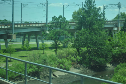
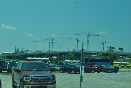
Part of the Tide's original route parallels I-264. The Tide is designed with the hope that TOD (Transit-oriented development) will be constructed along the light rail line, creating a smart growth transit corridor to help guide growth using compact mixed-use development practices, as well as curbing traffic congestion.
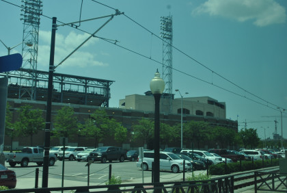
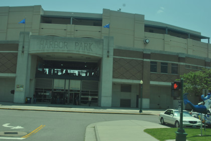
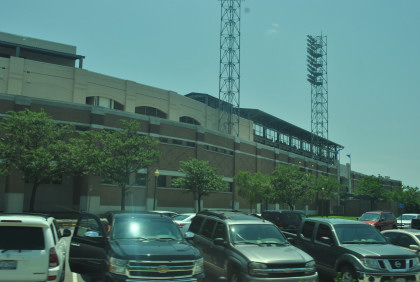
CurrentMost of the Tide's route east of downtown Norfolk operates on newly-laid track along the former Norfolk Southern Railway line that runs due east to the resort area of Virginia Beach. The Norfolk Southern Railway had previously abandoned that line. That right-of-way had carried both freight and passenger traffic until the end of World War II, and then operated as a freight-only railway for several additional decades. The current eastern end of The Tide is at Newtown Road, which is the Norfolk-Virginia Beach boundary line. By contrast, The Tide's route from the Harbor Park area west within downtown Norfolk and north-west to the Medical Center area is entirely new right-of-way.
Our Ride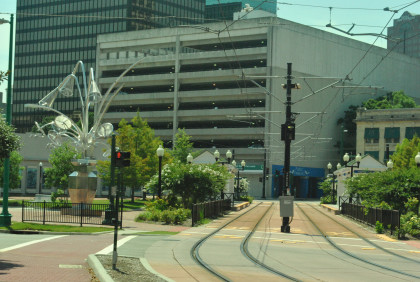
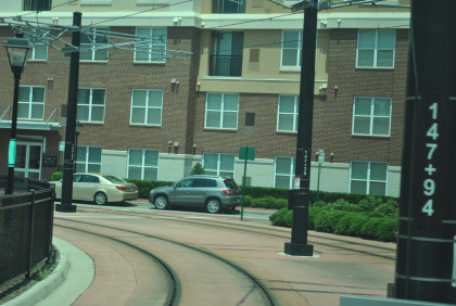
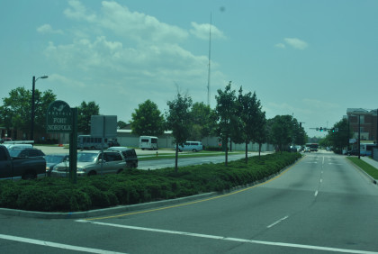
Looking south from MacArthur Square station.
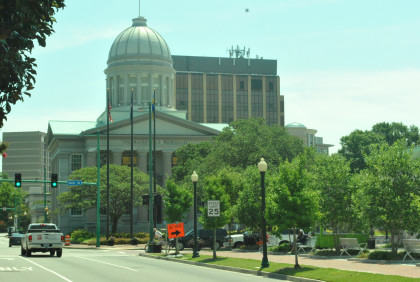
The MacArthur Memorial.
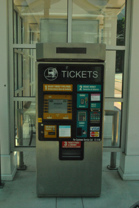
The friendly Tide ticketing machines.
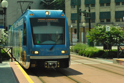
I do not ride wrapped light rail cars when I write travelogues so we let this westbound go and would ride the next eastbound trolley.
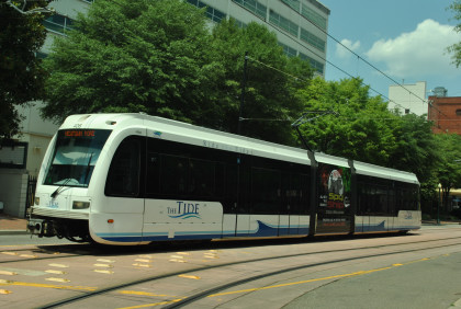
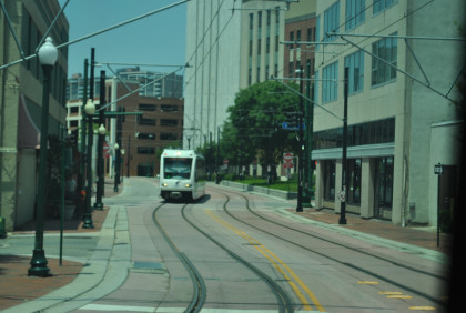
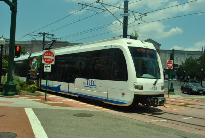
Here came an unwrapped Tide light rail car and we boarded.


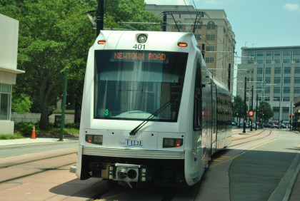
This was your eastbound ride on The Tide to Newtown Road station.

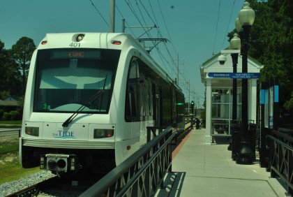
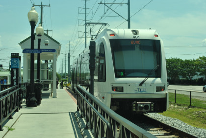
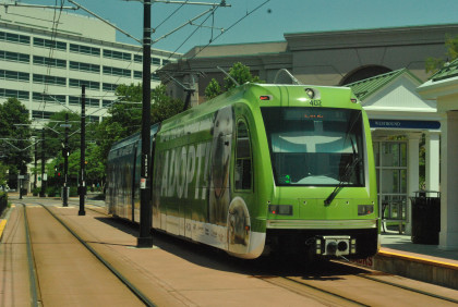
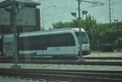
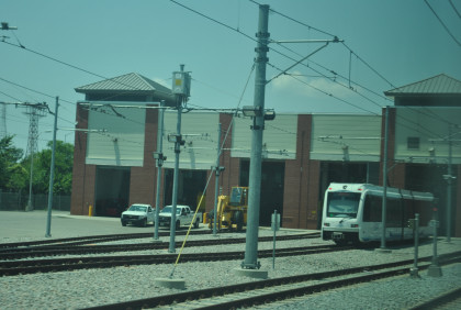
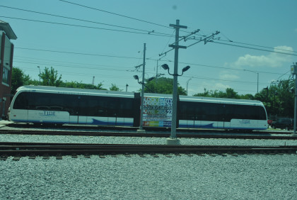
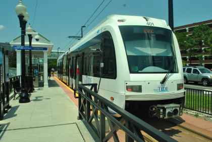
The Tide Light Rail cars.
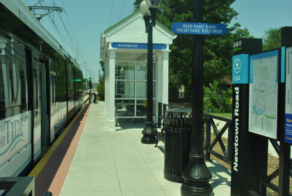
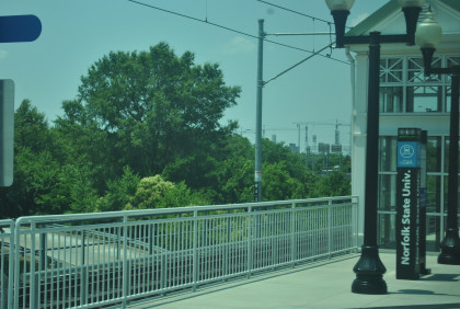
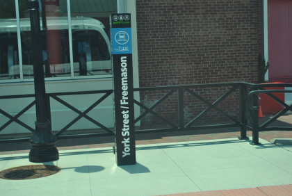
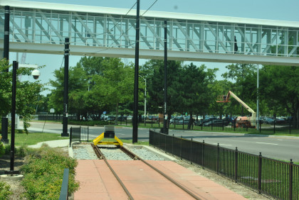
The platform at this station.
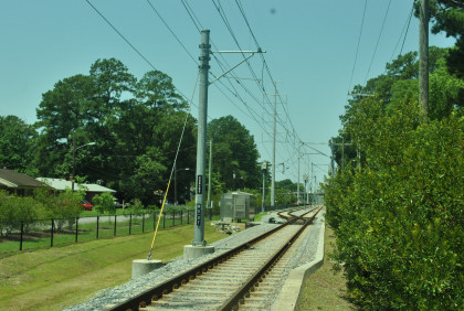
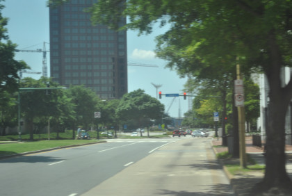
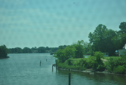
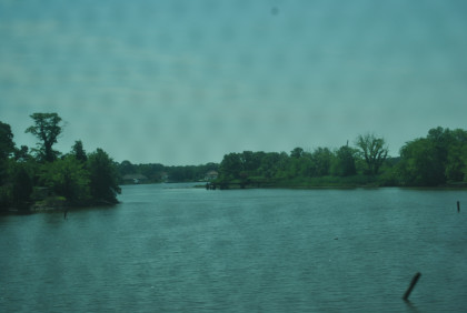
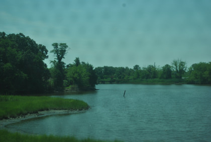
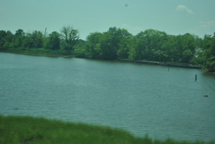
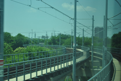
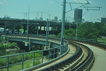
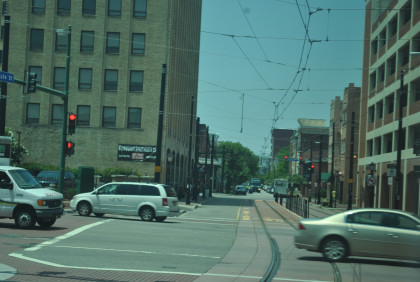
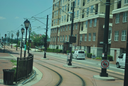
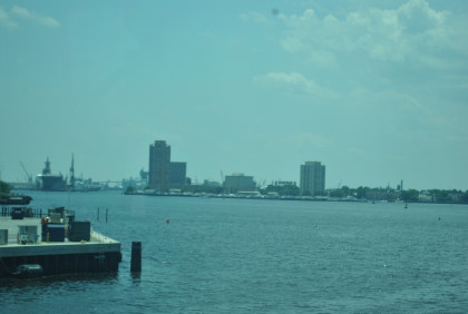
Our route back to Norfolk.


You have now ridden the whole Tide Light Rail system.
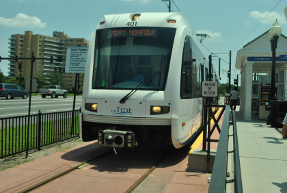
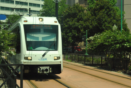
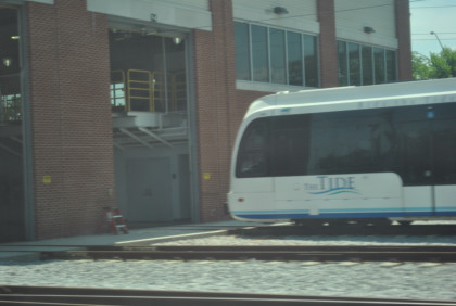
The Tide Light Rail cars at EVMC/Fort Norfolk Station.
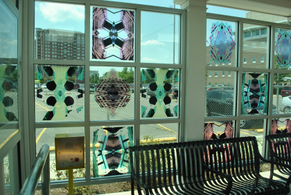
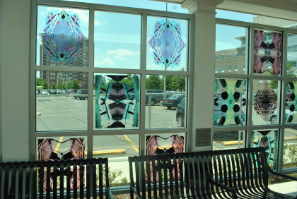
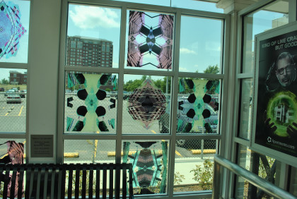
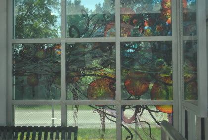
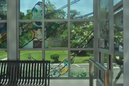
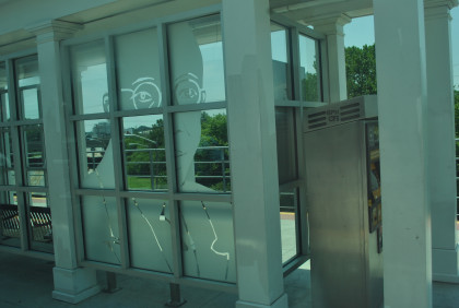
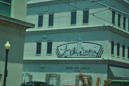
Station artwork.
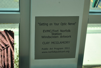
This plaque answers who created the artwork. We reboarded and returned to MacArthur Square station, ending our trip on The Tide.
Our train left the station and Robin and I headed to the Norfolk Southern Museum, but that is another travelogue. After visiting that great museum, I returned to the hotel.
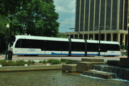
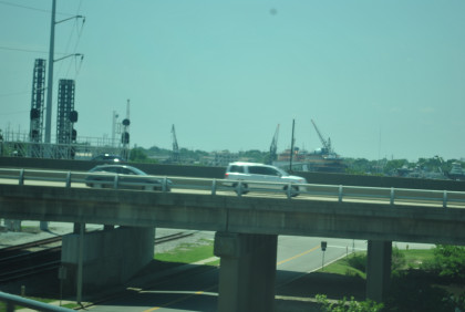
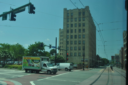
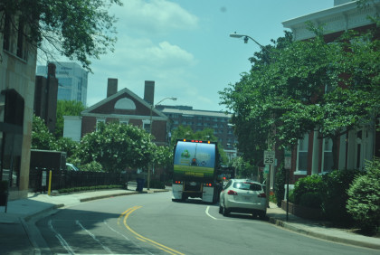
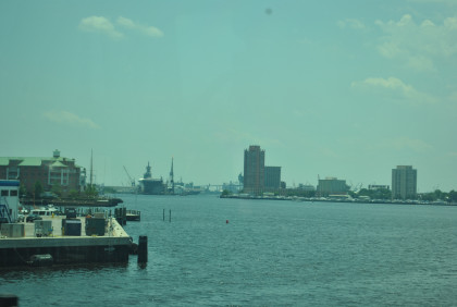
Coming back I caught this picture of The Tide.

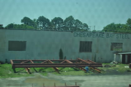
My last shot of The Tide was on the way to 7-11 then I returned to the Tazewell Hotel where I worked on more travelogue before Robin and I went to Gator Sports Bar where I had chicken wings for dinner, after which I resumed writing and watched "NCIS" then packed for tomorrow's trip.
| RETURN TO THE MAIN PAGE |