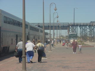
Since the Southwest Chief was running so late, passengers were being bussed to either the San Joaquins or Coast Starlight.
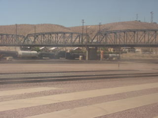
The Southwest Chief departed Barstow by going under the highway bridge and would run to the north of the yard.
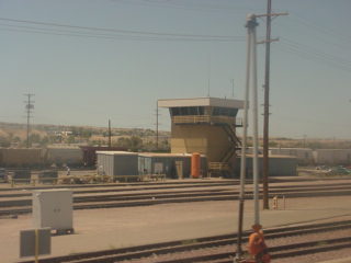
The East Hump tower.
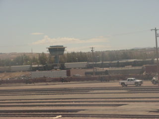
The main yard tower.
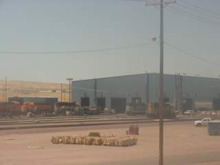
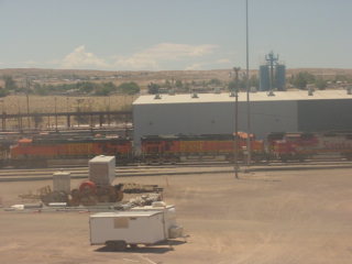
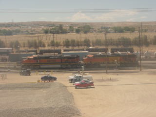
Barstow Diesel Services Facility.
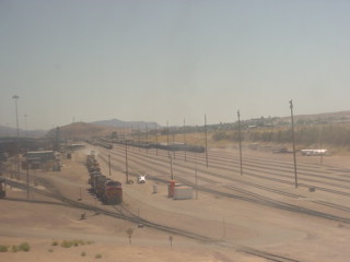
We left the yard and made our way to Victorville.
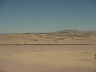
The west end of the yard is where the line to the Bay Area of California takes off to the west.
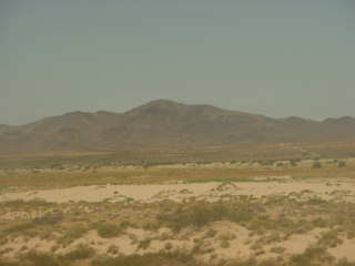
The Kramer Hills to the west as we ran along the Mojave River.
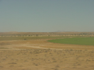
Add water to the desert and you get green plant life.
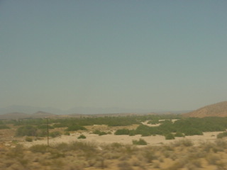
A dry Mojave River.
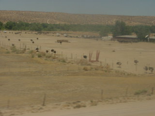
An ostrich farm south of Silver Lakes.
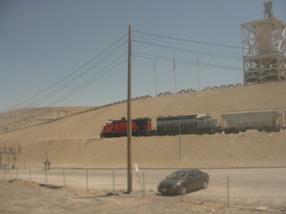
Locomotives at the Oro Grande cement plants.
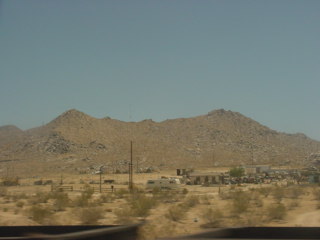
Oro Grande with the Sidewinder Mountains behind.
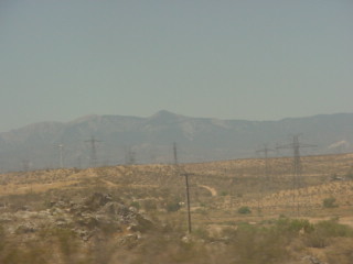
Sidewinder Mountains.
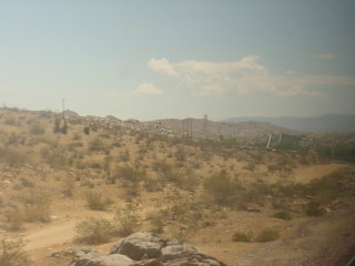
The train would cross the Mojave River at the Lower Narrows and on into our Victorville station stop.
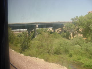
We departed Victorville then passed through the Mojave River Upper Narrows.
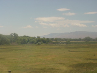
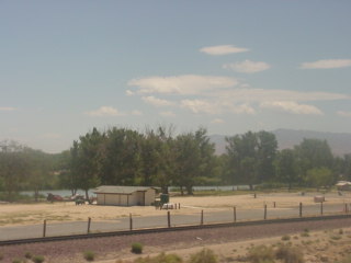
The Southwest Chief passed a field then Mojave Narrows Regional Park.
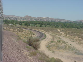
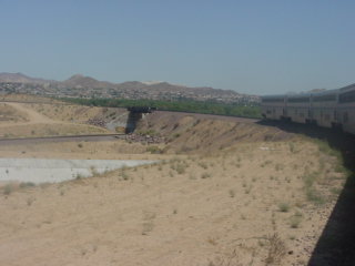
We took the natural crossover to run left-hand over Cajon Pass.
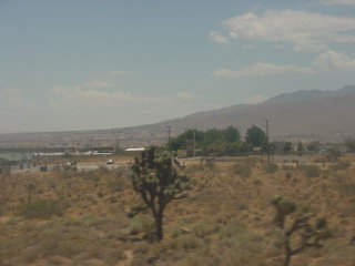
Joshua Trees dot the California High Desert.
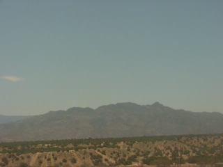
The San Bernardino Mountains before we ran through Hesperia and climbed into the Summit Valley.
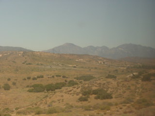
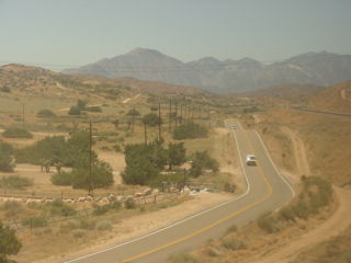
The Summit Valley.
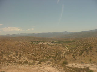
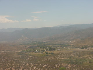
Looking down from near Summit towards Silverwood Lake.
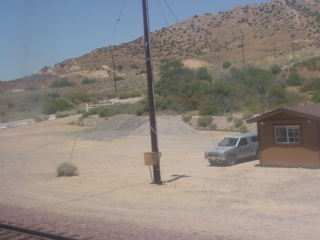
Summit, the top of Cajon Pass.
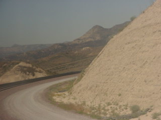
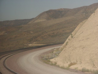
Through the deep cut to the grade down the west side of Cajon Pass.
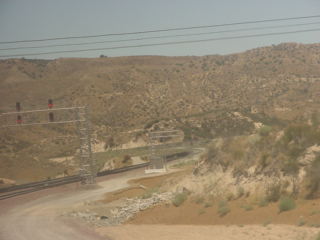
Silverwood, where a connection to the Palmdale Cutoff was put in a few years ago.
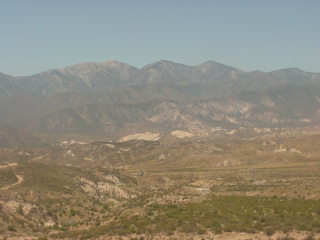
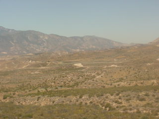
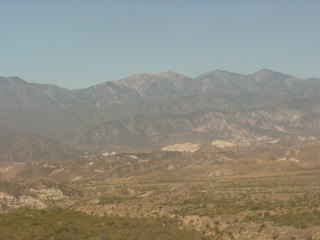
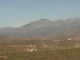
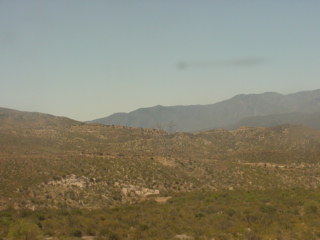
The views from Silverwood looking down Cajon Pass.
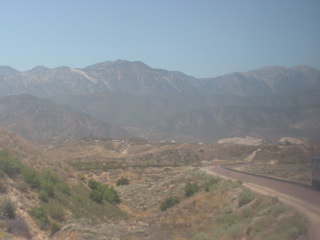
The Southwest Chief took the South Track with the three percent grade.
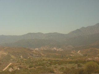
Looking south down Cajon Pass.
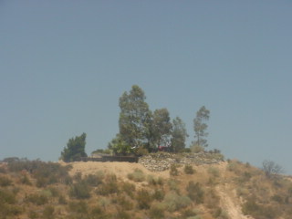
There was one photographer on Hill 582.
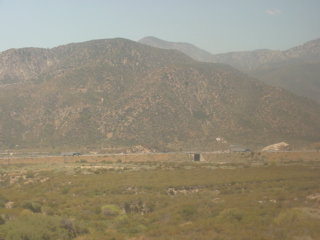
The Southwest Chief would go under Interstate 15.
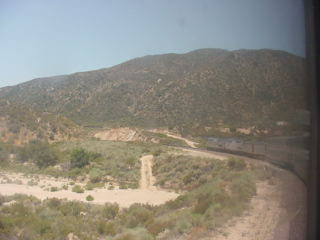
The train went by Steins Hill and dropped down to Cajon.
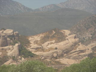
The rocks at Sullivan's Curve viewed from Cajon.
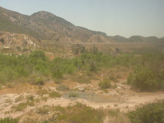
The Southwest Chief ran down Cajon Pass along Cajon Creek.
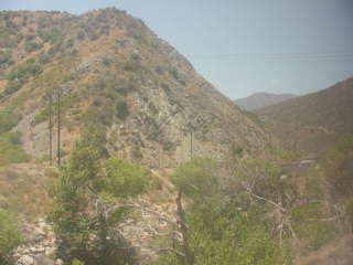
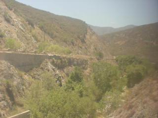
We rolled through Blu Cut where the San Andreas Fault crosses the BNSF mainline, and was the cause of Cajon Pass in the first place. We had just crossed over from the North American Plate onto the Pacific Plate.
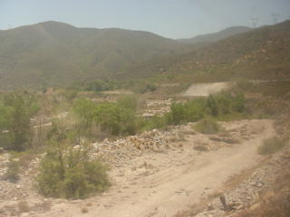
The train ran along Cajon Creek through Blu Cut.
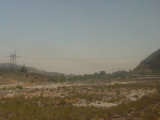
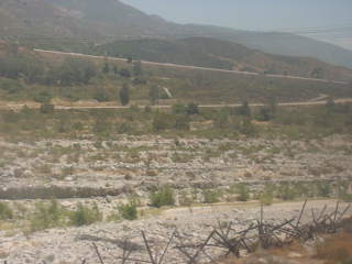
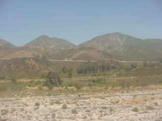
Views along Cajon Creek as we dropped down the grade to our next station stop of San Bernardino.
Our route would pass under Interstate 15 and into Devore.
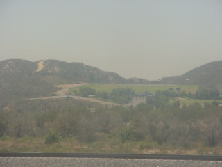
The Glen Helen Amphitheater in Devore.
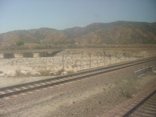
Crossing Cajon Creek and into Devore.
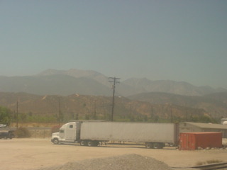
The San Gabriel Mountains that run west of Cajon Pass.
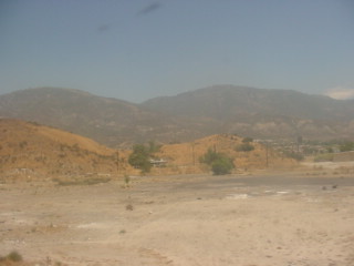
The San Bernardino Mountains that runs east of Cajon Pass, after which we continued to San Bernardino.
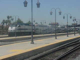
A lone Metrolink train.
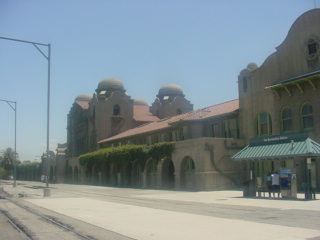
The San Bernardino station. We left there and headed towards Riverside.
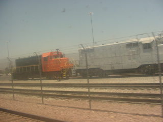
Two locomotives work in B Yard.
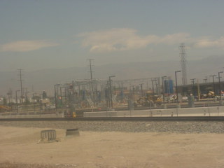
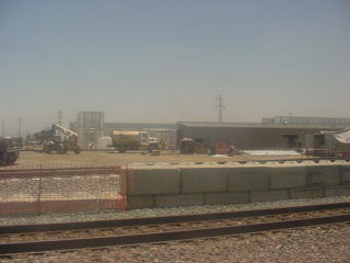
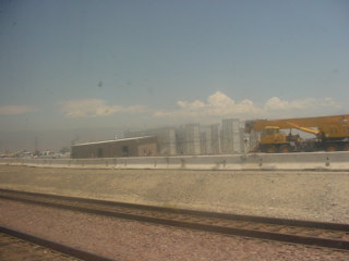
The new Inland Empire Metrolink maintenance facility under construction.
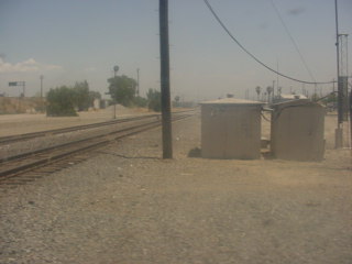
The crossing of Union Pacific's Sunset Route at Colton Crossing.
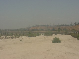
We crossed the Santa Ana River as we entered Highgrove.
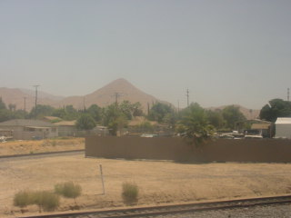
At Highgrove, the rail line to Perris takes off from the BNSF mainline.
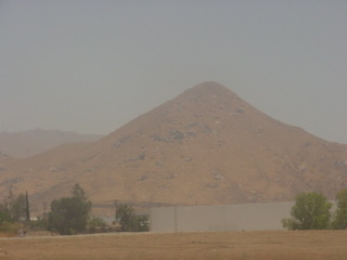
The hill that overlooks Highgrove.
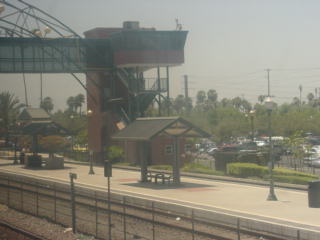
The Southwest Chief made its station stop at Riverside.
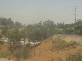
The Union Pacific leaves the BNSF mainline at West Riverside.
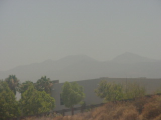
Saddleback Peak from the side that does not resemble saddle.
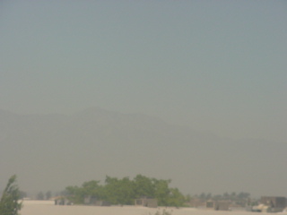
Mount Baldy through the haze of a summer afternoon in the San Bernardino Valley.
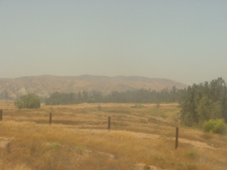
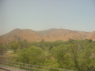
The train would now pass through Santa Ana Canyon with the Chino Hills on the north side.
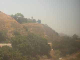
The Santa Ana Mountains are to the south of Santa Ana Canyon.
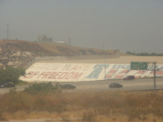
The Prado Dam, an earth-fill dry dam across the Santa Ana River at the Chino Hills near Corona, with the resulting impounded water creating Prado Flood Control Basin reservoir. The United States Army Corps of Engineers built the dam in Lower Santa Ana River Canyon whose primary purpose is flood control. It is the downstream element of the Santa Ana River's flood control system, which is a natural constriction about 30.5 miles upstream from the ocean. The area upstream from the dam contains 2,255 square miles of the watershed's 2,650 square miles. The dam's construction was authorized in 1936 and the flood of 1938 demonstrated its necessity. Construction was completed in 1941. Prado Flood Control Basin also provides water storage for groundwater recharge operations.
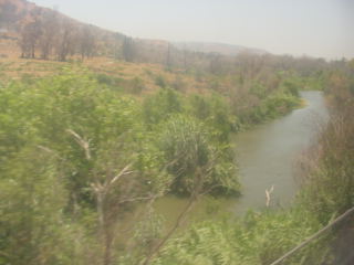
The Santa Ana River in Santa Ana Canyon.
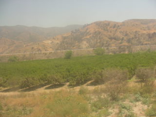
The last working orange grove in Orange County through which a train runs. From here we continued to Fullerton, arriving there at 2:19 PM {6:34 AM}, which made this Southwest Chief my latest at 7 hours and 45 minutes late. It had really been a bonus being that late as I was able to see and photograph the entire overnight route of the Southwest Chief west of Williams Junction. I detrained and rode the elevator and bridge over to Track 3 to wait for Pacific Surfliner 578 at 2:30 PM.
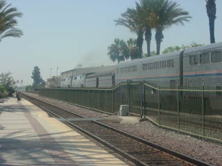
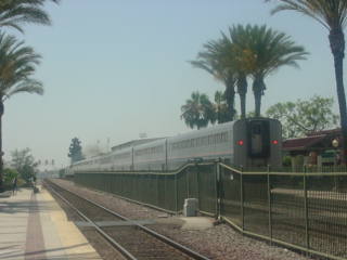
The Southwest Chief on its final miles into Los Angeles Union Station.
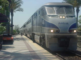
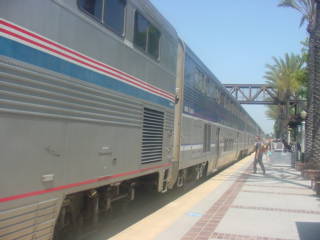
Pacific Surfliner 578 arrived with a Superliner lounge car in its consist. I boarded the lower level of the cab car for the fast trip to Santa Ana, where my mother was waiting with the van to take me home. It was a great trip from the detour through Wyoming on the California Zephyr, the tourist trains in Colorado, the Union Pacific Railroad Historical Society steam shop tour and trip beyond Yoder, culminating in the just-concluded late Southwest Chief experience. I was now home for just five nights before going to Michigan for Train Festival 2009 in Owosso.
| RETURN TO THE MAIN PAGE |