The Southwest Chief passed through Cadiz and continued west towards Barstow.
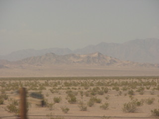
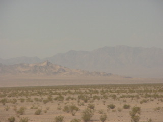
Looking south towards the Calumet Mountains.
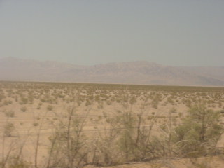
The Clipper Mountains.
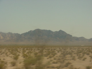
The Old Woman Mountains.
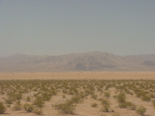
The Calumet Mountains to the south.
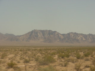
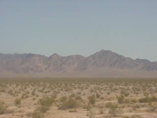
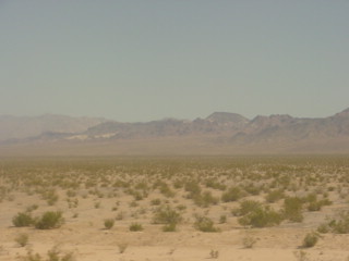
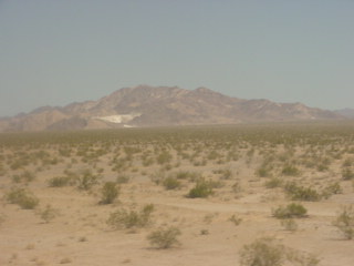
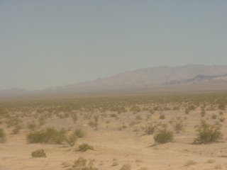
The Clipper Mountains.
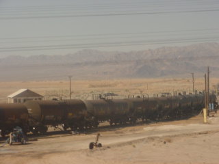
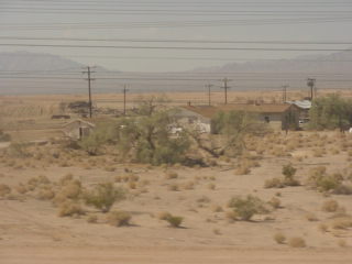
Saltus with the salt plant located there.
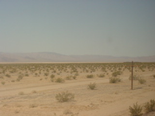
Looking southwest towards Bristol Dry Lake.
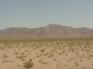
The Clipper Mountains.
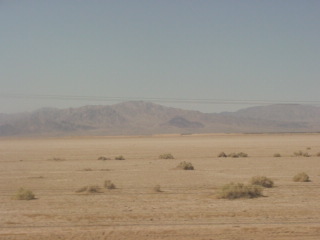
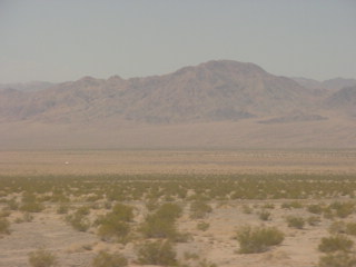
Bristol Dry Lake.
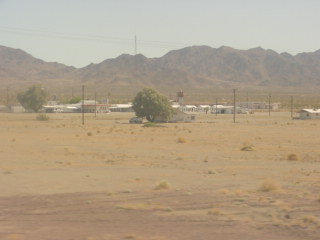
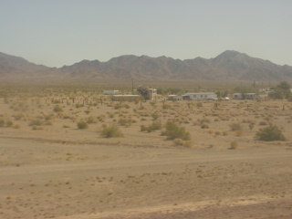
Amboy, first settled in 1858 but was not established as a town until 1883. Lewis Kingman, a locating engineer for the Atlantic and Pacific Railroad, created the town as the first of a series of alphabetical railroad stations that were to be constructed across the Mojave Desert. The name was probably taken from a location in the eastern United States. Amboy was once a major stop along the famous Route 66, but has seen much lower visitation since the opening of Interstate 40 to the north in 1973.
The town has a total of 10 surviving buildings and a population of far fewer than the advertised 20.
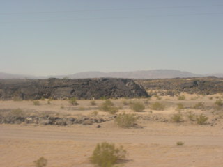
The lava flow from Amboy Crater, whose last eruption was 10,000 years ago.
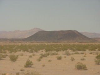
Amboy Crater, a dominant cinder cone volcano estimated to be over 79,000 years old.
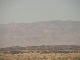
Lava flow with the Bullion Mountains behind.
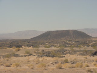
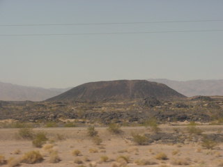
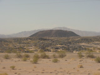
Amboy Crater.
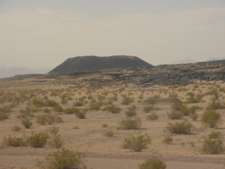
The crater with lava flow in front.
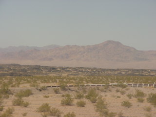
Grade railings on old Route 66.
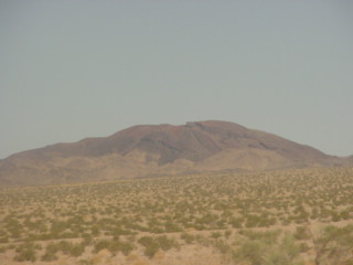
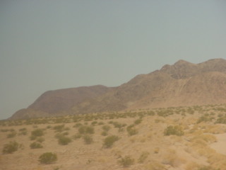
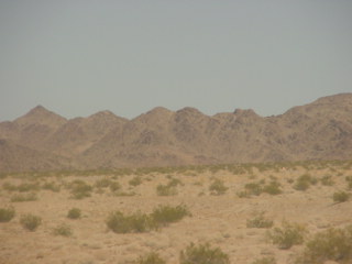
The Clipper Mountains as the train neared Bagdad.
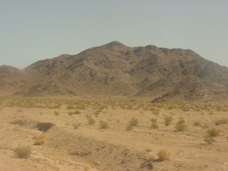
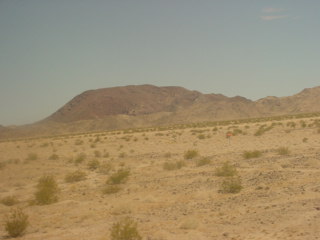
The Clipper Mountains as we climbed the grade towards Siberia.
Another cinder cone west of Bagdad.
Looking south at the Bullion Mountains.
Guard railings on old Route 66 with lava flow behind.
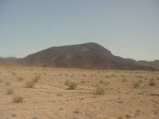
Climbing to Siberia.
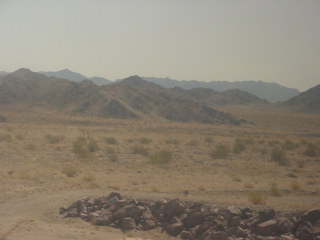
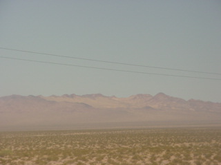
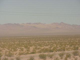
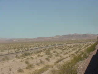
Views on the way to Siberia.
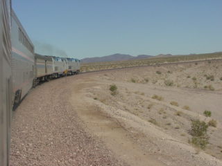
The mainline splits again from Siberia to just east of Ash Hill.
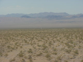
The Southwest Chief proceeded up the more gentle grade which will takes us through Klondike to Ash Hill.
Looking back down to Siberia where we just were a few minutes ago.
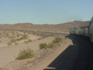
Looking back down the grade from where we had come from below Siberia.
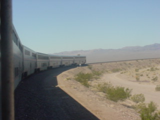
Taking the curve to return to our northwesterly route.
The Bullion Mountains.
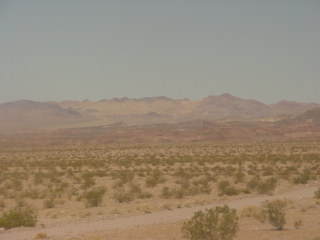
An eastbound BNSF freight on the other line heading down to Siberia.
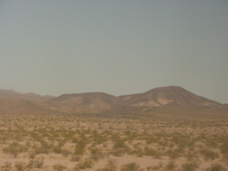
The Old Dad Mountains.
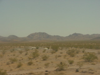
The Clipper Mountains.
Old Route 66 with the Bullion Mountains behind.
The Old Dad Mountains
The other mainline rejoins ours near Ash Hill.
The big curve just east of here.
Looking south off Ash Hill.
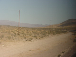
The crossover signals.
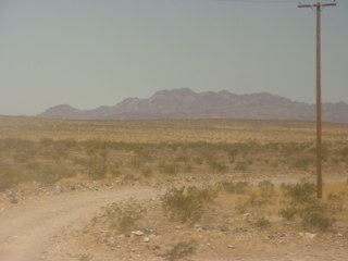
The Southwest Chief crested Ash Hill.
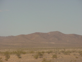
The Bullion Mountains.
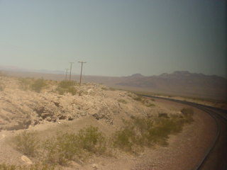
The Old Dad Mountains.
Curving off Ash Hill heading down towards Ludlow.
The tracks wind down the grade.
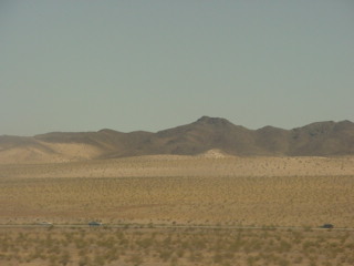
The west end of the Old Dad Mountains.
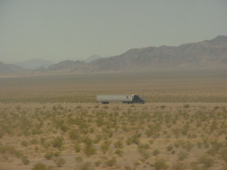
Truck on Interstate 40.
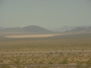
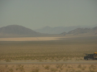
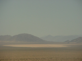
Broadwell Dry Lake.
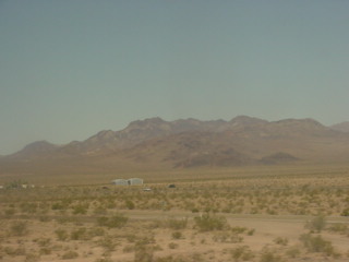
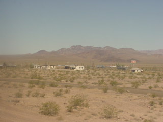
Ludlow with some old buildings.
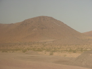
The "L" on the hill stands for Ludlow, California.
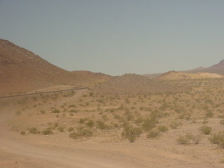
The tracks climb out of Ludlow to the top of the grade at Lavic.
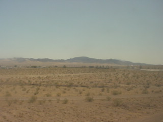
Looking back at Ludlow.
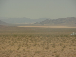
A last look at Broadwell Dry Lake.